Parking
Start at the West Rim Trailhead on Kolob Terrace Road near Lava Point. Arrange transportation to the trailhead and pickup at The Grotto; this is a point-to-point route, not a loop.

#6 of 54 trails in Zion
Zion National Park, UT
Cross high plateau country before dropping into Zion Canyon.
Overview
Map & elevation
Plan your hike

The highest, rockiest slopes around here are a summer buffet for grizzly bears.
Zion Tour Guide
Parkwolf is a GPS audio tour guide for Zion National Park. As you drive, it chimes in with what’s ahead: hidden gems, upcoming stops, history, geology, and wildlife, right through your car’s speakers.
See the Zion audio tourRecorded for this trailhead
West Rim Trailhead“West Rim Trailhead is ahead, the start of a full-day hike from the high plateau down into Zion Canyon.”
Plays as you drive up to this trailhead in the Parkwolf Zion Tour Guide.
More stories near here in the app
“Fantastic app with many points of information… It’s great to just turn on while you’re driving and it gives you an audio tour of the national Park. We love it!!!!”


Trail guide
The West Rim Trail (Top-Down) is a 14.6-mile, one-way hike from the West Rim Trailhead near Lava Point to The Grotto in Zion Canyon. It crosses a high plateau, dips into Potato Hollow, follows the scenic West Rim above Great West Canyon, then drops through the White Cliffs to the Virgin River. This is a hard, full-day outing for hikers ready to commit the day and arrange a ride at both ends. Allow 9 to 12 hours with a light pack.
The route begins at the West Rim Trailhead on Kolob Terrace Road, not at the Lava Point overlook or campground. Some published totals include the access walk from Lava Point, so they run longer than this mapped line. The hike is point to point: plan transportation to the trailhead and a pickup at The Grotto. The last stretch joins the well-used Scout Lookout and Angels Landing approach, so expect more company as you descend toward the canyon.
For roughly the first 6.5 miles, the trail crosses high alpine country with wide views toward Wildcat Canyon. It drops into Potato Hollow, then climbs back out; the walk is not a steady downhill even though the finish is far below the start. Potato Hollow Spring is usually dry by mid to late summer, and Sawmill Springs can dry earlier. The small spring at Cabin Spring is more reliable, but none of these should be treated as ready-to-drink water.
After Potato Hollow, stay on the signed West Rim Trail when it splits from Telephone Canyon. Telephone Canyon is the shorter way to Cabin Spring; the rim branch is the reason to do this longer version. It climbs toward Horse Pasture Plateau and opens onto the Great West Canyon formations, including Ivins Mountain and Inclined Temple. South Guardian Angel is a worthwhile viewpoint early in the route; farther along, the views turn toward Heaps Canyon, Castle Dome, Behunin Canyon and Mount Majestic.
At Cabin Spring, the character changes from open plateau to a steep descent: the trail loses about 2,500 feet over the final 4.7 miles. The constructed path contours along the White Cliffs, with exposed sections above large drops. Take your time on this stretch if heights bother you. The route passes the Behunin Canyon saddle and Refrigerator Canyon before reaching Scout Lookout and the tight switchbacks of Walter's Wiggles. You finish beside the Virgin River at The Grotto; the route does not include the Angels Landing summit spur.
If the full traverse is too much, hike from The Grotto to Scout Lookout and return as a separate out-and-back. You still get the steep canyon approach and the view from Scout Lookout, but miss the high plateau, Potato Hollow and the West Rim traverse.
Wildlife
 291 sightingsCalifornia CondorMost seen around 11 AMSighting map
 350 sightingsBighorn SheepMost seen around 7 AMSighting map
 22 sightingsMountain LionMost seen around 7 PMSighting map
 1,326 sightingsMule DeerMost seen around 6 AMSighting map
 23 sightingsGolden EagleMost seen around 10 AMSighting map
 15 sightingsPeregrine FalconMost seen around 7 AMSighting map
Sighting maps show where each species has been reported across Zion. Wildlife moves, so no sighting is guaranteed.
Keep exploring
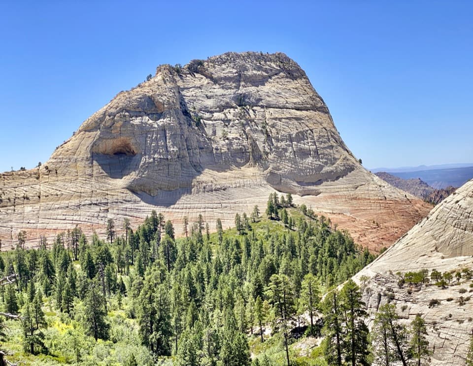 EasyNorthgate Peaks Trail4.2 mi · 2.5 hr · 4.1 mi awayA forest walk to a volcanic-rock perch above Great West Canyon.
 ModerateWildcat Canyon Trail11.6 mi · 6 hr · 4.1 mi awayPine forest and open meadows lead to a broad canyon crossing.
 ModerateConnector Trail5.1 mi · 2.5 hr · 5.7 mi awayOpen meadows and slickrock connect two Kolob trailheads.
 ChallengingHop Valley Trail13 mi · 7 hr · 5.7 mi awayA long, sandy walk through Zion’s open sandstone canyon.
 ChallengingLeft Fork (Subway) Bottom-Up9 mi · 8 hr · 7.8 mi awayA demanding creek scramble to Zion’s sculpted sandstone slot.
 ChallengingThe Narrows from the Bottom Up9.4 mi · 7 hr · 7.8 mi awayWade the Virgin River through a slot canyon to Big Spring.
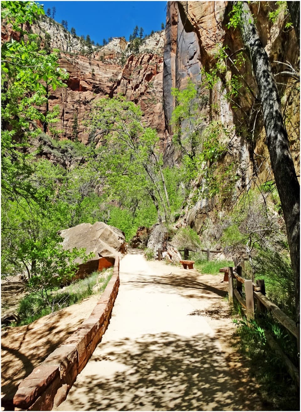 EasyRiverside Walk2 mi · 1.5 hr · 7.8 mi awayA paved river walk leads to the entrance of the Narrows.
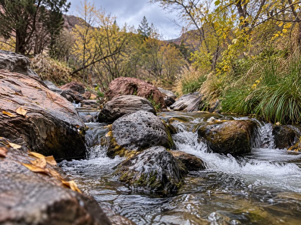 ModerateGrapevine Trail1.5 mi · 1.5 hr · 8.5 mi awayLoose lava tread drops to a bench above the Left Fork.
 Sight · 0.3 mi awayLava Point OverlookA long detour for a quieter, high-country panorama.
 Campground · 0.6 mi awayLava Point CampgroundSix tent sites on Zion's high, remote Kolob Terrace.
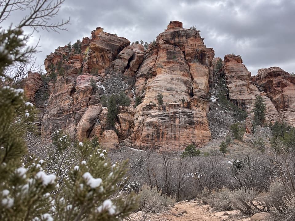 Sight · 6.8 mi awayLambs Knoll Climbing SiteA sandstone crag with a short, exposed scramble to its high point.
 Sight · 7.6 mi awayKolob ArchA full-day canyon hike to an arch you see from afar.
 Sight · 7.8 mi awayTemple of SinawavaThe Virgin River opens into a natural sandstone amphitheater.
 Sight · 8.4 mi awayScout LookoutA natural turnaround for Zion Canyon views before Angels Landing.
 Sight · 8.5 mi awayObservation PointAngels Landing shrinks below a sweeping view down the canyon.
 Sight · 8.6 mi awayBig BendBig Bend frames the Great White Throne above the Virgin River.
Parkwolf’s Zion ranking

The audio tour guide for the drive, plus offline maps, trails, and wildlife heatmaps for when the signal drops.


