East Mesa Trail to Observation Point in Zion National Park

#4 of 54 trails in Zion

Zion National Park, UT

East Mesa Trail to Observation Point

A long forest walk ends with Angels Landing far below.

Photo: National Park Service
Length
6.8mi
Time
3.5hr
Elev. change
312ft
Difficulty
Moderate
  • No dogs
  • High point 6,824 ft
Parkwolf audio tour45 stories across Zion’s roads

Overview

About East Mesa Trail to Observation Point

Why go

  • Angels Landing looks tiny across the canyon from the rim.
  • Mostly gentle grades make this a less punishing Observation Point approach.

Heads up

  • The long forested middle changes little before the final views.
  • Dirt-road access can be impassable in wet weather.

Map & elevation

The route

Loading the Zion map
Full map
Elevation6,512–6,824 ft
TrailheadEast Mesa Trailhead37.29635, -112.90139
Keep this map with you offline in the Parkwolf app

Plan your hike

Before you go

Parking

The East Mesa Trailhead is reached on dirt roads off North Fork Road, through private land near Zion Ponderosa. Use only the marked trailhead spaces and keep clear of private roads and driveways; roadside overflow is not a safe alternative. The National Park Service warns that high-clearance four-wheel drive may be needed and that mud, snow, or recent rain can make the road impassable.

Safety

There is no water or restroom at the trailhead; fill water and use a restroom before driving up. The access road can be impassable when muddy or snowy and may require high-clearance four-wheel drive. Observation Point ends at an exposed canyon rim. Do not leave the trail into Mystery Canyon: it is technical canyoneering terrain and requires a permit. Pets are prohibited on Zion Wilderness trails.

3 active Zion alerts

  • CautionToxic cyanobacteria in Zion waterwaysDo not drink Zion in-stream water, submerge your head, or touch or ingest algae mats; cyanobacteria can produce harmful toxins.Official details
  • ClosureWatchman Trail closed for repairsWatchman Trail is closed pending repairs; do not enter the trail and choose another hike. Check current park conditions before setting out.Official details
See all 3 alerts
A park ranger sits on a dash-mounted phone, talking, as Parkwolf’s Tour Guide plays “Army Cutworm Moths: A Grizzly Bear Buffet” on Grand Loop Road below Dunraven Pass in Yellowstone
Parkwolf Tour GuideThe highest, rockiest slopes around here are a summer buffet for grizzly bears.

Zion Tour Guide

Your drive to East Mesa Trail to Observation Point, narrated.

Parkwolf is a GPS audio tour guide for Zion National Park. As you drive, it chimes in with what’s ahead: hidden gems, upcoming stops, history, geology, and wildlife, right through your car’s speakers.

See the Zion audio tour

More stories near here in the app

  • Temple of Sinawava and Riverside Walk
  • Weeping Rock
  • Big Bend
  • The Grotto and Angels Landing
  • 45 audio storiesacross Zion’s roads, triggered by GPS as you drive
  • Wildlife heatmapsfor California Condor, Bighorn Sheep, Mountain Lion, and 13 more
  • Works offlinemaps, 54 trails, 36 places, and audio download before you lose signal
  • CarPlay readysimple controls built for the drive
★★★★★
“Fantastic app with many points of information… It’s great to just turn on while you’re driving and it gives you an audio tour of the national Park. We love it!!!!”
JMJamesApp Store review
Download Parkwolf on the App StoreGet Parkwolf on Google Play

4.7 from 8,600+ ratings

Trail guide

Hiking East Mesa Trail to Observation Point

Why make the tripEast Mesa is a 6.

East Mesa is a 6.8-mile out-and-back from East Mesa Trailhead to Observation Point, mostly a gently rolling traverse across the upper plateau before a short westward finish on the East Rim Trail. Allow about three to four hours, including time at the rim. The payoff is a high, wide look down Zion Canyon, with Angels Landing far below. I’d pick this approach if you want Observation Point without taking the much longer East Entrance route. The tradeoff is that the best scenery arrives late; the first miles are more about getting there than sightseeing.

Getting to the startThe trailhead is remote, north of North Fork Road.

The trailhead is remote, north of North Fork Road. Dirt access roads pass through private land near Zion Ponderosa, so stay on the posted route, respect gates and driveways, and park only in the marked trailhead spaces. Zion warns that high-clearance four-wheel drive may be needed. The road can become deeply muddy or impassable in winter, spring, or after rain. Check local access conditions before setting out; a dry-weather report doesn’t guarantee the next drive will be passable.

Across the mesaWalk through the hikers’ gate at the park boundary and follow the old jeep road west.

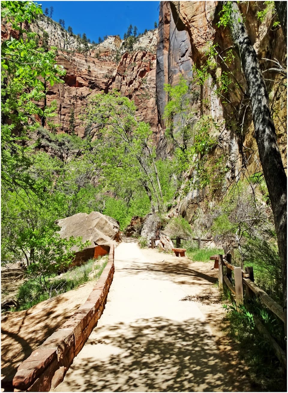
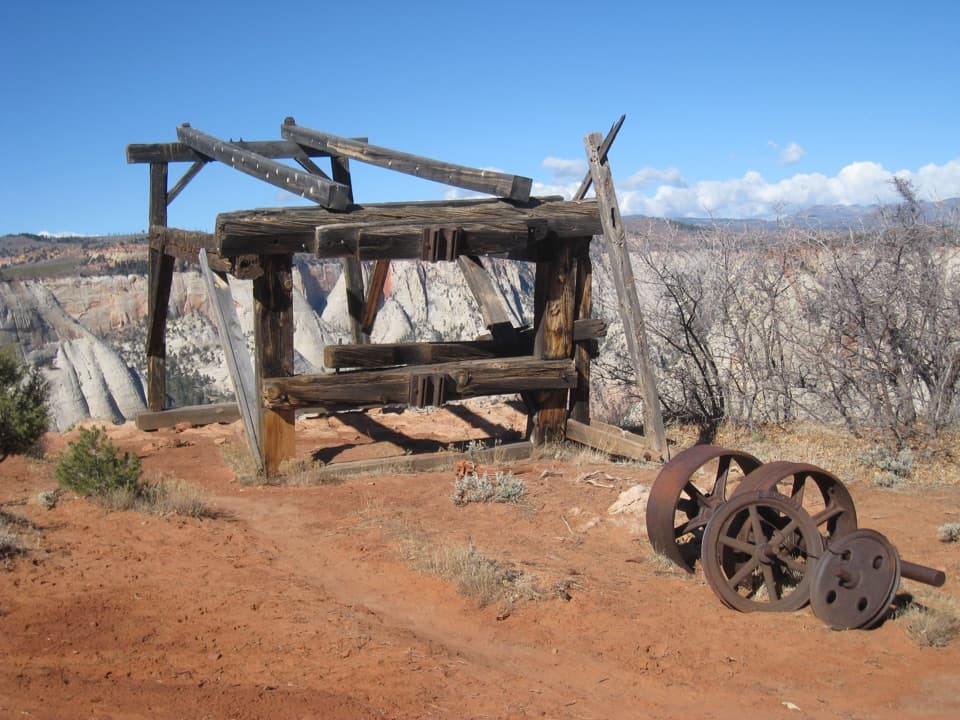
Walk through the hikers’ gate at the park boundary and follow the old jeep road west. The track is well defined, with sandy or rocky dirt underfoot and mostly gentle grades. Ponderosa pine, pinyon, juniper, and open meadows make up most of the route, but the trees don’t shade every stretch. The middle miles can feel repetitive, which is the main reason this hike suits people who don’t mind a steady approach for a strong finish. “East Mesa Trail” is a fairly recent name for this old road, not an ancient route name.

The turn toward the canyonRoughly two miles in, the head of Mystery Canyon opens to the north.

Roughly two miles in, the head of Mystery Canyon opens to the north. It’s a technical canyoneering route, not a side trail to explore without the right skills and permit. Past it, the route turns south and dips toward the old Observation Point Trail junction; this is where brief views of Zion’s pale canyon walls begin. At the junction, turn west for the final 0.4 mile to Observation Point. Don’t expect this route to continue down to Weeping Rock: the old canyon-floor connection was cut off by major rockfall.

At Observation PointThe viewpoint sits on the rim above Zion Canyon.

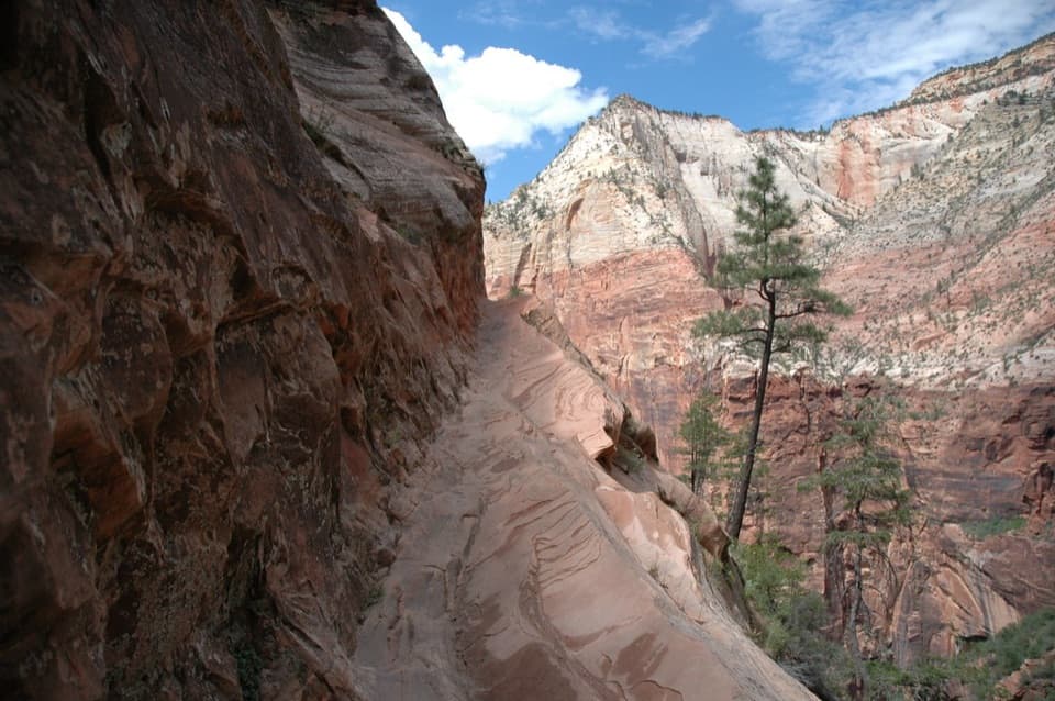
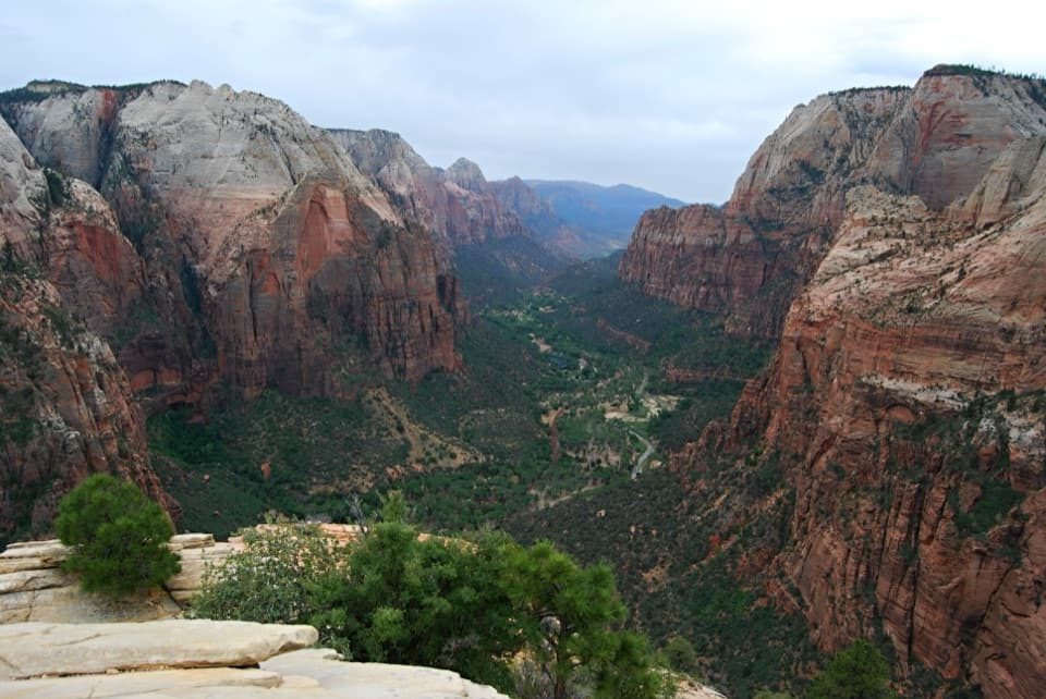
The viewpoint sits on the rim above Zion Canyon. Angels Landing looks small across the canyon, and the panorama takes in the sandstone cliffs and the Virgin River far below. The rim is exposed, so keep a comfortable margin from the edge. For a photo, include a strip of the near rim and frame Angels Landing across the canyon; it gives the distant landmark a sense of scale. The short view openings before the end are a preview, but the overlook is the reason to make the walk.

What the mileage meansPublished round-trip estimates range from 6.4 to 7.0 miles, but the mapped 3.

Published round-trip estimates range from 6.4 to 7.0 miles, but the mapped 3.41-mile one-way corridor doubles to 6.82 miles, which supports using 6.8 miles for this trailhead-to-overlook route. The trail rises to a mesa high point roughly 300 feet above the start, then drops toward Observation Point; the return retraces those ups and downs. The 300 feet is the rise to the crest, not the climb you add up over both directions. Allow three to four hours; the shorter three-hour estimate assumes a steady pace and little time at the overlook.

Wilderness basicsThere’s no water station at the trailhead, and no restroom is available there.

There’s no water station at the trailhead, and no restroom is available there. Fill water and use a restroom before driving up. Day hikers don’t need an overnight wilderness permit, but Zion’s wilderness group limit is 12 people sharing an affiliation on the same trail. Pets aren’t allowed on wilderness trails.

Wildlife

Wildlife in Zion

All Zion wildlife maps

Sighting maps show where each species has been reported across Zion. Wildlife moves, so no sighting is guaranteed.

Keep exploring

Near East Mesa Trail to Observation Point

See it all on the map

Trails that start nearby

Places near the trailhead

Parkwolf’s Zion ranking

Top-rated trails in Zion

All 54 trails
  1. 1Angels Landing TrailChallenging · 4.2 mi
  2. 2The Narrows from the Bottom UpChallenging · 9.4 mi
  3. 3Canyon Overlook TrailModerate · 1 mi
  4. 5Left Fork (Subway) Bottom-UpChallenging · 9 mi
  5. 6West Rim Trail (Top-Down)Challenging · 14.6 mi
  6. 7Riverside WalkEasy · 2 mi

Take Parkwolf to Zion.

The audio tour guide for the drive, plus offline maps, trails, and wildlife heatmaps for when the signal drops.

4.7 from 8,600+ ratings

Download Parkwolf on the App StoreGet Parkwolf on Google Play