Left Fork (Subway) Bottom-Up in Zion National Park

#5 of 54 trails in Zion

Zion National Park, UT

Left Fork (Subway) Bottom-Up

A demanding creek scramble to Zion’s sculpted sandstone slot.

Length
9mi
Time
8hr
Elev. change
686ft
Difficulty
Challenging
  • No dogs
  • High point 5,361 ft

Hear the audio tour

Left Fork Trailhead and the Subway

Overview

About Left Fork (Subway) Bottom-Up

The Left Fork (Subway) Bottom-Up is a strenuous out-and-back through Left Fork to the lower Subway slot in Zion’s Kolob Canyons. The official figure is 9 miles round trip, with a typical 6–10 hours on the route. The lower Subway is the turnaround, not a through-route to the technical top-down canyoneering hike. A mapped corridor measures 3.55 miles one way, and several hiking accounts put the outing at roughly 7–8 miles; that distance difference is unresolved. Plan around the official 9-mile figure and leave time for route-finding, water movement, and pauses.

Why go

  • A rare bottom-up approach to the water-sculpted lower Subway.
  • Cascades, slickrock, pools and a close sandstone slot reward the long walk.

Heads up

  • Very strenuous off-trail route-finding through water and boulders.
  • Unresolved distance discrepancy and a steep climb back to the trailhead.

Map & elevation

The route

Loading the Zion map
Full map
Elevation4,674–5,361 ft
TrailheadLeft Fork Trailhead37.28489, -113.09574
Keep this map with you offline in the Parkwolf app

Plan your hike

Before you go

Parking

Left Fork Trailhead is reached from Kolob Terrace Road. A gravel-surface parking area is mapped, but capacity, fees and toilet facilities were not confirmed. The road can close for snow from fall into spring; check current road conditions before setting out.

Safety

Very strenuous off-trail route with boulder scrambling, slick rock and ankle-to-knee-deep water. Do not enter when rain threatens because of flash-flood danger. A wilderness permit is required year-round; day use only; maximum group 12; no pets. Do not drink untreated creek water because of toxic cyanobacteria. Distances differ: use the official 9-mile round-trip figure for planning.

3 active Zion alerts

  • CautionToxic cyanobacteria in Zion waterwaysDo not drink Zion in-stream water, submerge your head, or touch or ingest algae mats; cyanobacteria can produce harmful toxins.Official details
  • ClosureWatchman Trail closed for repairsWatchman Trail is closed pending repairs; do not enter the trail and choose another hike. Check current park conditions before setting out.Official details
See all 3 alerts
A park ranger sits on a dash-mounted phone, talking, as Parkwolf’s Tour Guide plays “Army Cutworm Moths: A Grizzly Bear Buffet” on Grand Loop Road below Dunraven Pass in Yellowstone
Parkwolf Tour GuideThe highest, rockiest slopes around here are a summer buffet for grizzly bears.

Zion Tour Guide

Your drive to Left Fork (Subway) Bottom-Up, narrated.

Parkwolf is a GPS audio tour guide for Zion National Park. As you drive, it chimes in with what’s ahead: hidden gems, upcoming stops, history, geology, and wildlife, right through your car’s speakers.

See the Zion audio tour

Recorded for this trailhead

Left Fork Trailhead and the Subway
0:00 / 0:25
“You're approaching Left Fork Trailhead, where the hike to the Subway begins. The rounded sandstone passage is near the end of a very strenuous nine-mile round trip, usually six to ten hours.”

Plays as you drive up to this trailhead in the Parkwolf Zion Tour Guide.

More stories near here in the app

  • Grapevine Trailhead
  • The Jay That Plants Pines
  • Right Fork Trailhead and Double Falls
  • Lambs Knoll
  • 45 audio storiesacross Zion’s roads, triggered by GPS as you drive
  • Wildlife heatmapsfor California Condor, Bighorn Sheep, Mountain Lion, and 13 more
  • Works offlinemaps, 54 trails, 36 places, and audio download before you lose signal
  • CarPlay readysimple controls built for the drive
★★★★★
“Fantastic app with many points of information… It’s great to just turn on while you’re driving and it gives you an audio tour of the national Park. We love it!!!!”
JMJamesApp Store review
Download Parkwolf on the App StoreGet Parkwolf on Google Play

4.7 from 8,600+ ratings

Trail guide

Hiking Left Fork (Subway) Bottom-Up

Make the commitment deliberatelyThis is a very strenuous, mostly off-trail canyon hike rather than a maintained path.

This is a very strenuous, mostly off-trail canyon hike rather than a maintained path. A wilderness permit is required year-round for Left Fork, and trips are day-use only; groups are limited to 12. Pets are not allowed. The approach starts at Left Fork Trailhead off Kolob Terrace Road, which can close for snow from fall into spring. Check road and park conditions before driving, and do not enter the canyon when rain threatens: a flash flood can turn the creek corridor dangerous quickly.

There is a gravel-surface parking area, but its capacity and fees were not established, and toilet availability was not confirmed. No food service or potable water was found at the trailhead or along the route. Bring what you need for a long day; do not drink untreated stream water, which may contain toxic cyanobacteria.

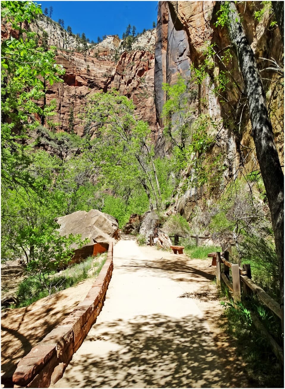
Drop from the rim to the creekThe first roughly half mile follows a mostly level, maintained path through juniper and pinyon…

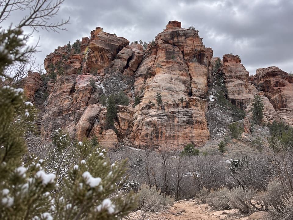
The first roughly half mile follows a mostly level, maintained path through juniper and pinyon woodland. It then descends a steep, loose slope about 400 feet to the canyon. That short access section is the easiest walking of the day, and the same slope becomes a tiring climb on the way back out.

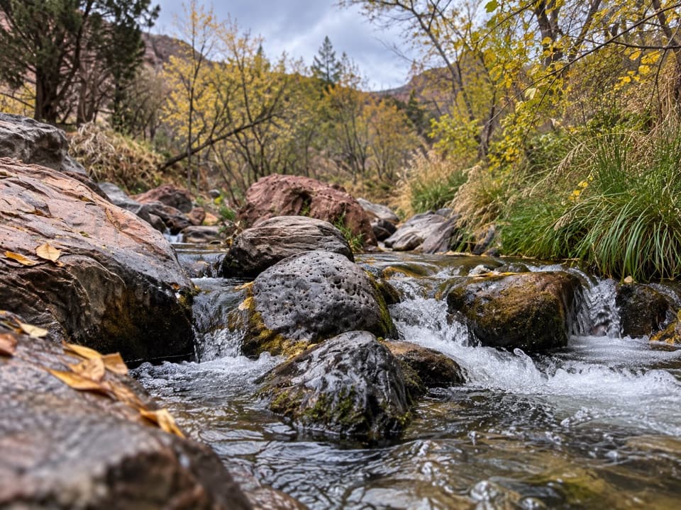
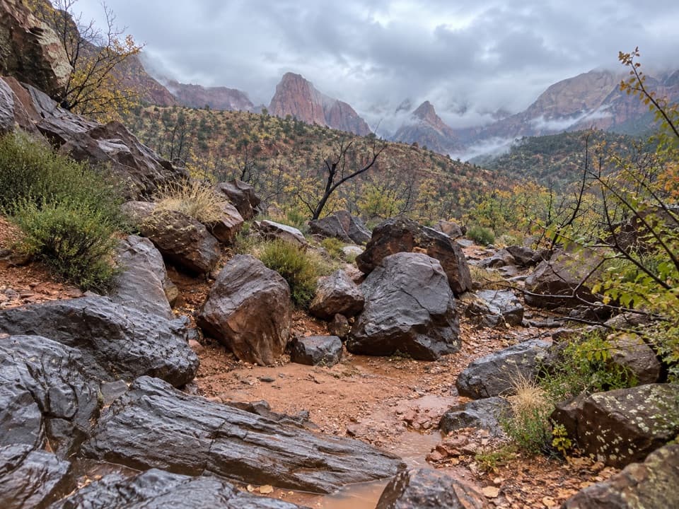
Beyond the rim, expect substantial route-finding. The route leaves a regular trail and alternates between faint paths along the banks, boulder-hopping, and walking in the stream. Water is often ankle to knee deep; its depth and the usable line change with flow. The first couple of miles feel rough and obstructed. Farther upcanyon, the creek opens onto broader slickrock and cascades.

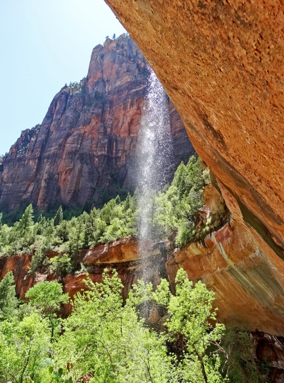
Follow the water-cut stepsSeveral cascades interrupt the creek bed; one is informally known as Archangel Falls.

Several cascades interrupt the creek bed; one is informally known as Archangel Falls. Farther on, two waterfalls around 15 feet high can be bypassed on the right or south side. Wet slabs are extremely slippery, so move carefully and do not treat the bypass as an easy trail. The creek’s red sandstone shelves, pools and tight turns are part of the route, not a marked path beside it.

Turn around at the lower SubwayThe lower Subway appears after the creek bends.

The lower Subway appears after the creek bends. Close sandstone walls frame a rounded, tube-like undercut, with pools, potholes and water-polished surfaces. This formation is the bottom-up hike’s destination. Continue only as far as conditions and your ability allow: the narrower terrain beyond can involve waist-deep water or swimming as potholes fill. The celebrated slot is near the end of a long approach, so this is a poor choice if you want a short walk to a viewpoint.

Read the rock and look downThe canyon exposes Kayenta sandstone and related mudstone and siltstone laid down by ancient…

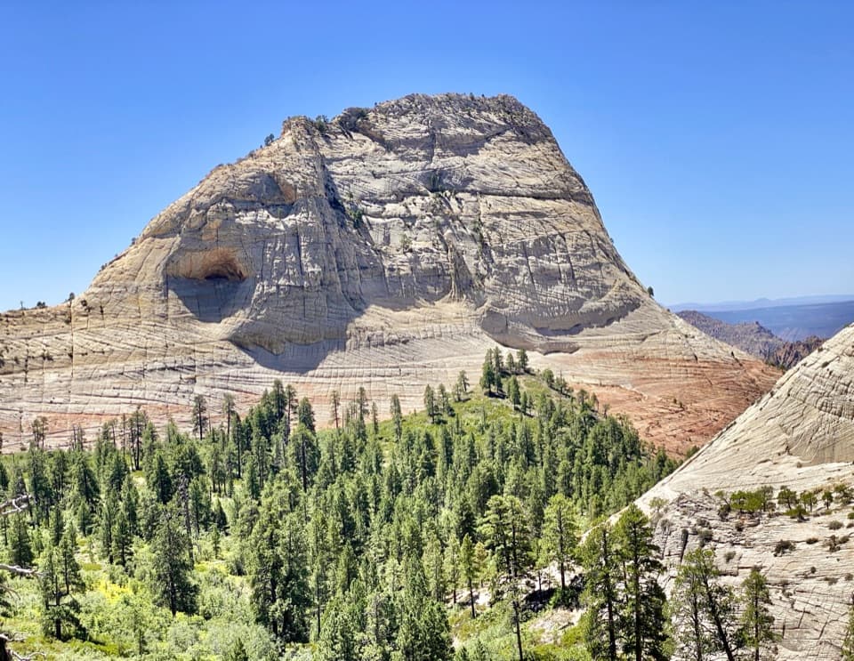
The canyon exposes Kayenta sandstone and related mudstone and siltstone laid down by ancient streams. Water has sculpted the smooth shelves, rounded slot and potholes visible along the way. In fall, red and orange maple leaves can stand out against the sandstone. On the return route, two gray boulders partway downcanyon bear dinosaur tracks; look without touching or climbing on them.

Save energy for the returnRetrace the creek route, then regain the steep 400-foot slope to the trailhead.

Retrace the creek route, then regain the steep 400-foot slope to the trailhead. The junction for the ascent is easy to miss when tired, and hikers are sometimes reported to walk past it; keep a map available and watch for the exit as you descend the canyon. Treat the posted time as a full-day commitment. NPS describes the hike as very strenuous and warns that people get lost every year.

Wildlife

Wildlife in Zion

All Zion wildlife maps

Sighting maps show where each species has been reported across Zion. Wildlife moves, so no sighting is guaranteed.

Keep exploring

Near Left Fork (Subway) Bottom-Up

See it all on the map

Trails that start nearby

Places near the trailhead

Parkwolf’s Zion ranking

Top-rated trails in Zion

All 54 trails
  1. 1Angels Landing TrailChallenging · 4.2 mi
  2. 2The Narrows from the Bottom UpChallenging · 9.4 mi
  3. 3Canyon Overlook TrailModerate · 1 mi
  4. 4East Mesa Trail to Observation PointModerate · 6.8 mi
  5. 6West Rim Trail (Top-Down)Challenging · 14.6 mi
  6. 7Riverside WalkEasy · 2 mi

Take Parkwolf to Zion.

The audio tour guide for the drive, plus offline maps, trails, and wildlife heatmaps for when the signal drops.

4.7 from 8,600+ ratings

Download Parkwolf on the App StoreGet Parkwolf on Google Play