Parking
Start at Emerald Pools Trailhead across from Zion Lodge, by shuttle stop #5. Follow the sidewalk across Lodge Lawn, cross the road and footbridge, then take the path on your right.

Zion National Park, UT
A short walk to a waterfall alcove that changes with the season.
Overview
Map & elevation
Plan your hike

The highest, rockiest slopes around here are a summer buffet for grizzly bears.
Zion Tour Guide
Parkwolf is a GPS audio tour guide for Zion National Park. As you drive, it chimes in with what’s ahead: hidden gems, upcoming stops, history, geology, and wildlife, right through your car’s speakers.
See the Zion audio tourRecorded for this trailhead
Zion Lodge and Emerald Pools“Zion Lodge is coming up, a useful place to pause for a meal and a look around the canyon lawn.”
Plays as you drive up to this trailhead in the Parkwolf Zion Tour Guide.
More stories near here in the app
“Fantastic app with many points of information… It’s great to just turn on while you’re driving and it gives you an audio tour of the national Park. We love it!!!!”


Trail guide
Lower Emerald Pool Trail is the Lodge-side route to a shallow basin beneath a sandstone alcove and seasonal falls. The full outing is about 1.2 miles round trip, retracing the 0.6-mile approach; allow one to two hours. Choose it for the waterfall alcove without adding the higher pools. The one-way route climbs about 131 feet and also drops about 96 feet, so it is a short hike with some uphill and downhill rather than a flat riverside stroll.
The signed access is Emerald Pools Trailhead across from Zion Lodge, by shuttle stop #5. Follow the sidewalk across Lodge Lawn to the crosswalk, cross the road and footbridge, then take the path on the right. Restrooms and water refill stations are at the Lodge, before you start and when you return; there are no facilities at the pool. Park entrance fees apply, but this hike needs no activity reservation.
The path runs through pinyon-juniper woodland on rough, mostly hard concrete, with a short stretch of firm soil. The assessment records a typical 7.1% grade and a 25.3% maximum; about a third of the tread is at 8.3% or steeper. Most of it is wide, but some sections narrow to 30 inches; the bridge narrows to 45 inches and concrete gaps can reach two inches. It is a short walk, but it is not a smooth or consistently gentle roll. Check the park's accessibility information if grade, surface width or a mobility device will affect your plans.
The trail reaches the Lower Pool under a recessed red sandstone wall. Water spills over the rock in seasonal falls, and the path passes close beneath the cascade when enough water is flowing. The falls can be stronger during spring runoff or after rain, but dry late-summer visits may find only a trickle. The pool is fragile habitat and an important water source for wildlife, so stay out of the water. Keep away from cliff edges. For a photo, frame the falls with the dark alcove and a strip of the railed path from the established route.
The alcove is small, and visitors report it can crowd up by midmorning; an earlier visit may leave more room to stop. The route is listed for year-round hiking, but ice can form on the path in winter. Water level and spray change with season and recent rain, so a waterfall is not guaranteed on every visit.
The Lower trail connects to the Middle and Upper Emerald Pools routes and the Kayenta Trail. Those are optional extensions with more distance and steeper, rougher sections. The Lower-only outing ends at the pool and returns along the same corridor; follow the onward signs only if you mean to turn this short walk into a longer network hike.
Wildlife
 291 sightingsCalifornia CondorMost seen around 11 AMSighting map
 350 sightingsBighorn SheepMost seen around 7 AMSighting map
 22 sightingsMountain LionMost seen around 7 PMSighting map
 1,326 sightingsMule DeerMost seen around 6 AMSighting map
 23 sightingsGolden EagleMost seen around 10 AMSighting map
 15 sightingsPeregrine FalconMost seen around 7 AMSighting map
Sighting maps show where each species has been reported across Zion. Wildlife moves, so no sighting is guaranteed.
Keep exploring
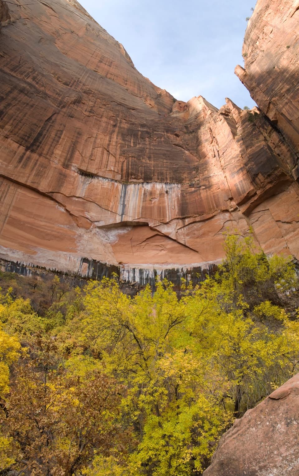 ModerateUpper Emerald Pools Trail2.3 mi · 2 hr · At the trailheadStone steps lead to a sandy pool beneath Zion’s high canyon walls.
 ModerateMiddle Emerald Pools Trail2.2 mi · 1.5 hr · 0.1 mi awayA steep climb opens onto sandstone ledges and green pools.
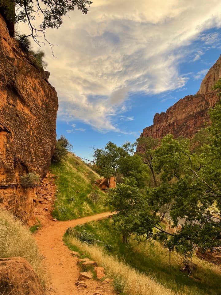 EasyGrotto Trail1.2 mi · 36 min · 0.2 mi awayA shaded meadow walk linking the lodge and Grotto shuttle stops.
 ChallengingAngels Landing Trail4.2 mi · 4 hr · 0.7 mi awayA steep canyon climb ends on a narrow, chain-lined sandstone ridge.
 ChallengingWest Rim to Scout Lookout3.8 mi · 3.5 hr · 0.7 mi awayA steep climb to a canyon lookout, before the permit boundary.
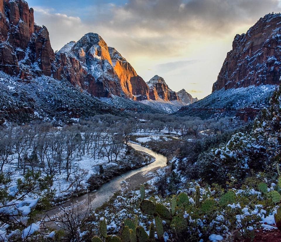 ModerateKayenta Trail1.4 mi · 2 hr · 0.7 mi awayFollow a canyon ledge from The Grotto toward the Emerald Pools.
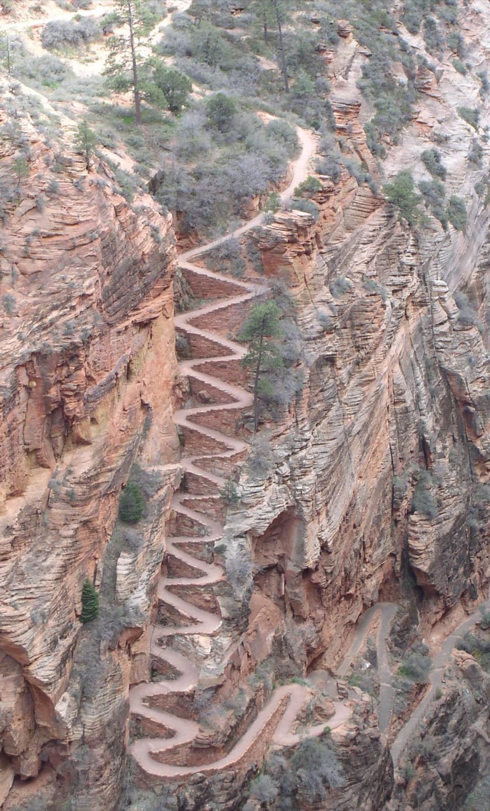 ChallengingWest Rim Trail to Cabin Spring9.4 mi · 6 hr · 0.7 mi awayA full-day climb beyond Scout Lookout to Cabin Spring.
 ChallengingWest Rim and Telephone Canyon Loop15.3 mi · 9 hr · 0.7 mi awayA long climb opens into a quieter plateau circuit above the canyons.
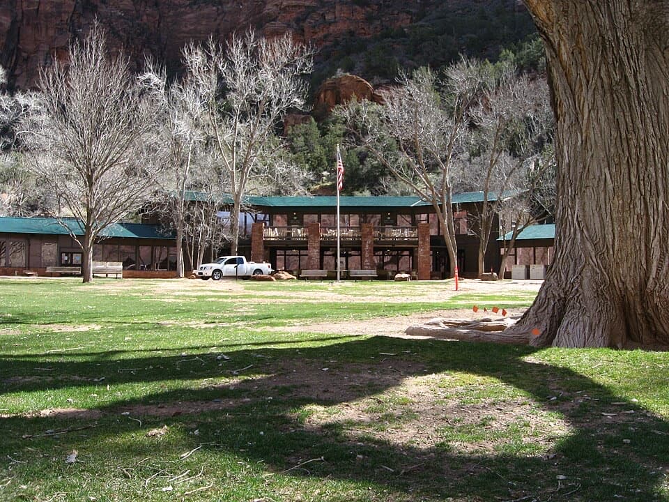 Lodging · 0.1 mi awayZion LodgeThe only in-park lodge, with canyon trails close by.
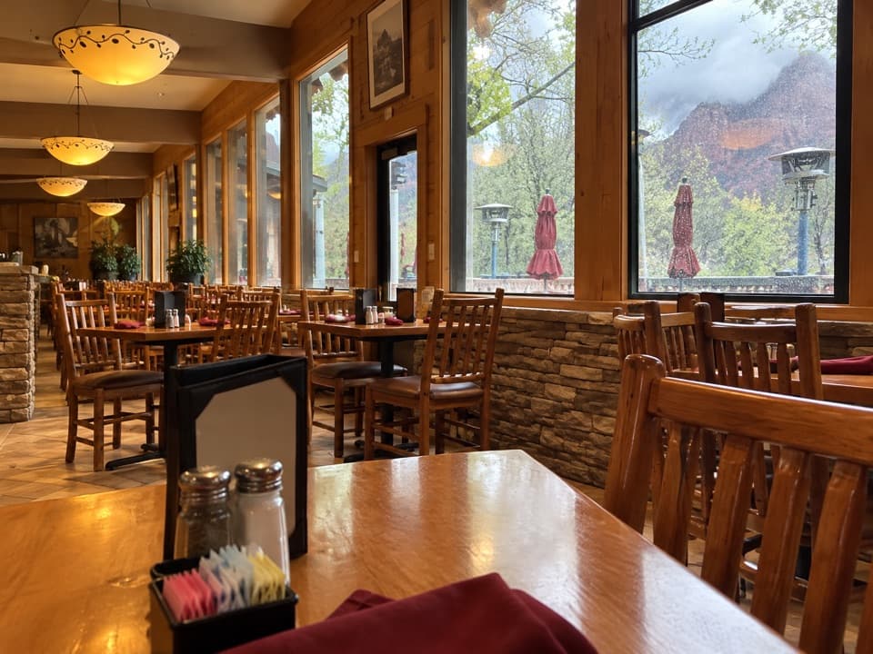 Restaurant · 0.1 mi awayRed Rock GrillA year-round sit-down meal on the canyon shuttle route.
 Food · 0.2 mi awayCastle Dome CaféA handy café for quick meals and picnic supplies.
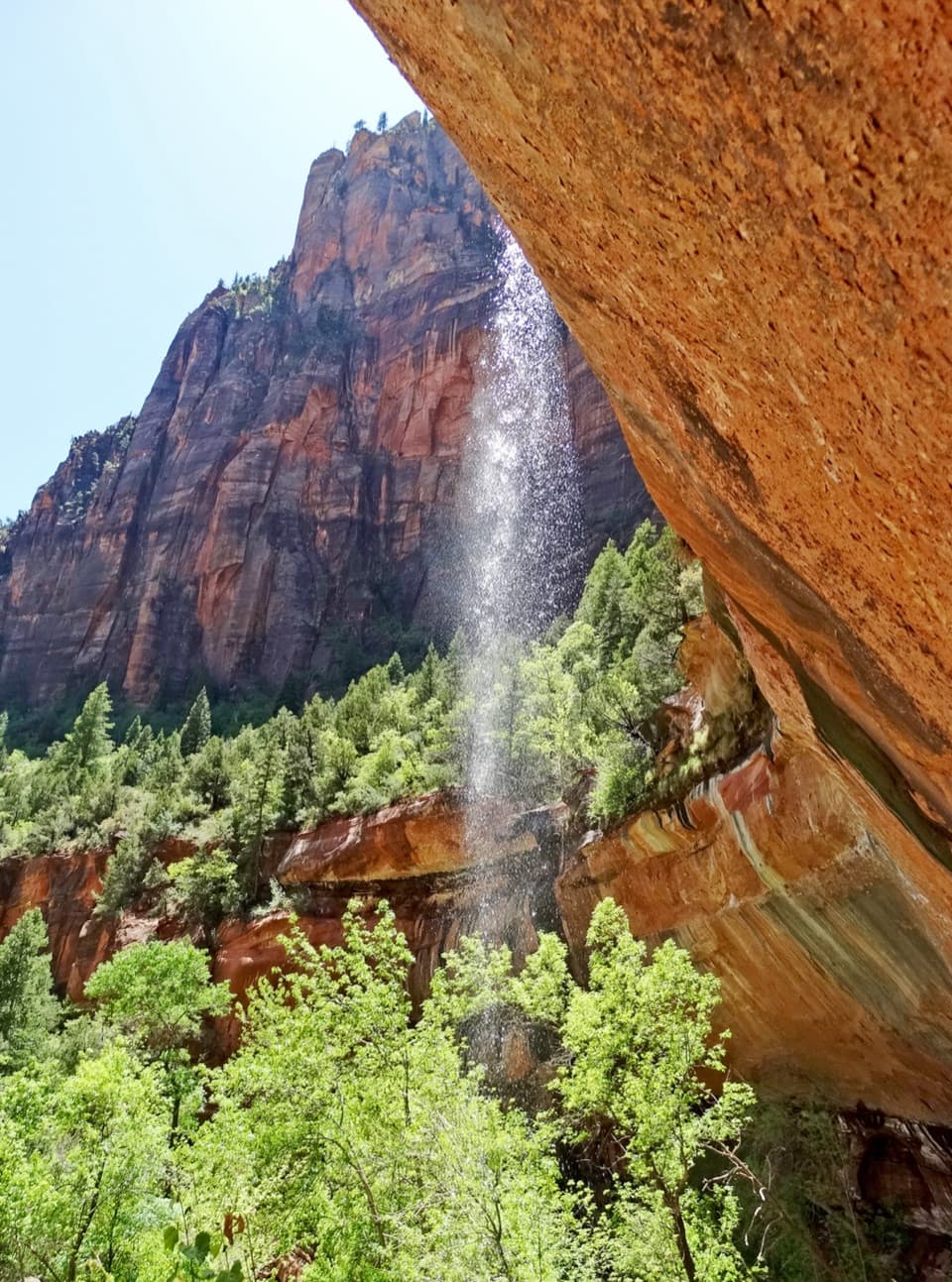 Sight · 0.5 mi awayEmerald PoolsThree cliffside pools, with seasonal falls and a steeper upper climb.
 Picnic area · 0.7 mi awayThe GrottoA shaded picnic break with a Virgin River view and trail access.
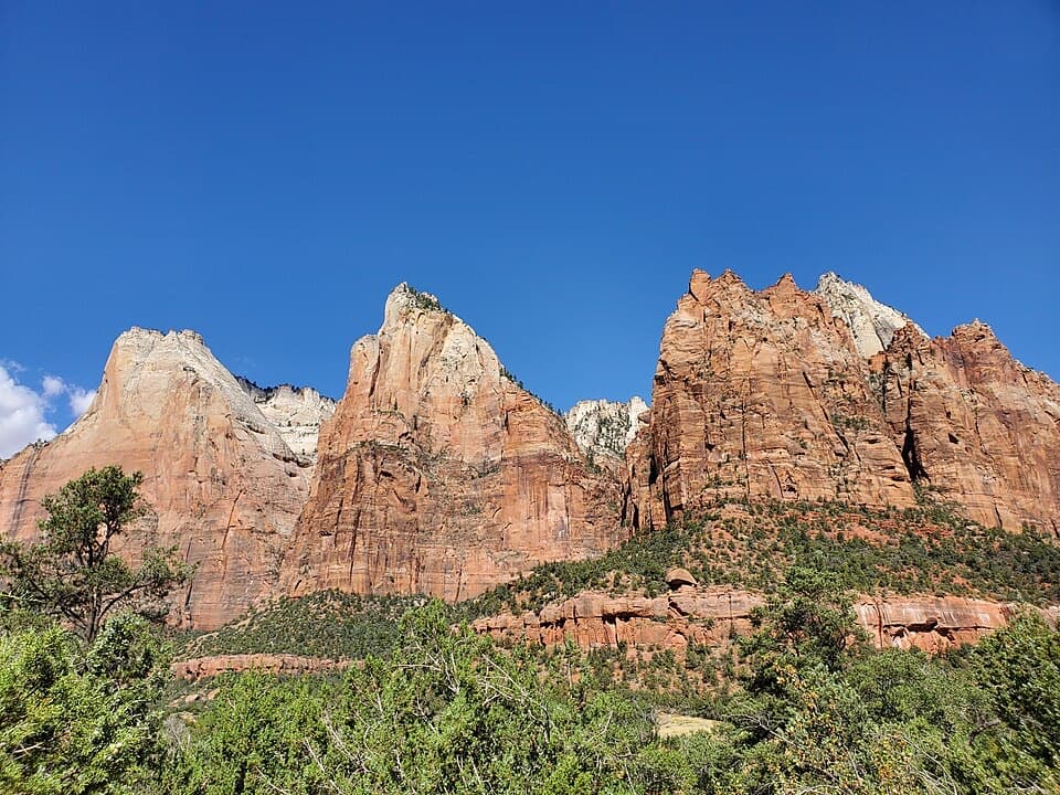 Sight · 1 mi awayCourt of the PatriarchsThree sandstone peaks reward a short, steep climb above the canyon.
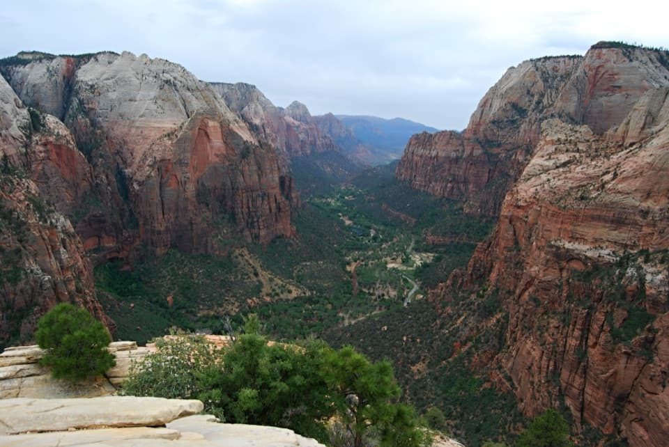 Sight · 1.4 mi awayAngels LandingA half-day summit hike, ending on a narrow ridge with chains.
 Sight · 1.6 mi awayBig BendBig Bend frames the Great White Throne above the Virgin River.
Parkwolf’s Zion ranking

The audio tour guide for the drive, plus offline maps, trails, and wildlife heatmaps for when the signal drops.



