Overview
About Moa Park Shelter
Why stop
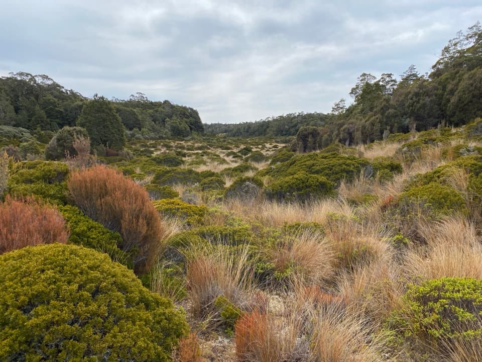
- An open tussock basin with a nearby granite lookout
Heads up
- A multi-hour tramp to reach it, with no bunks
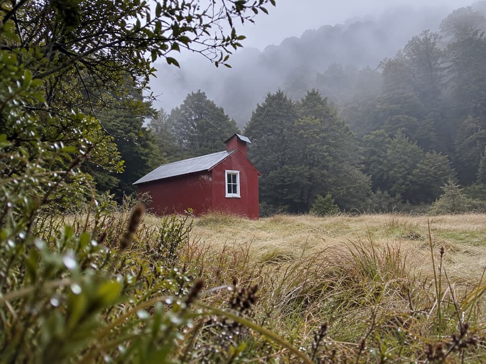
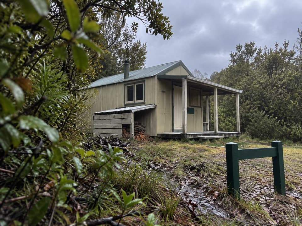
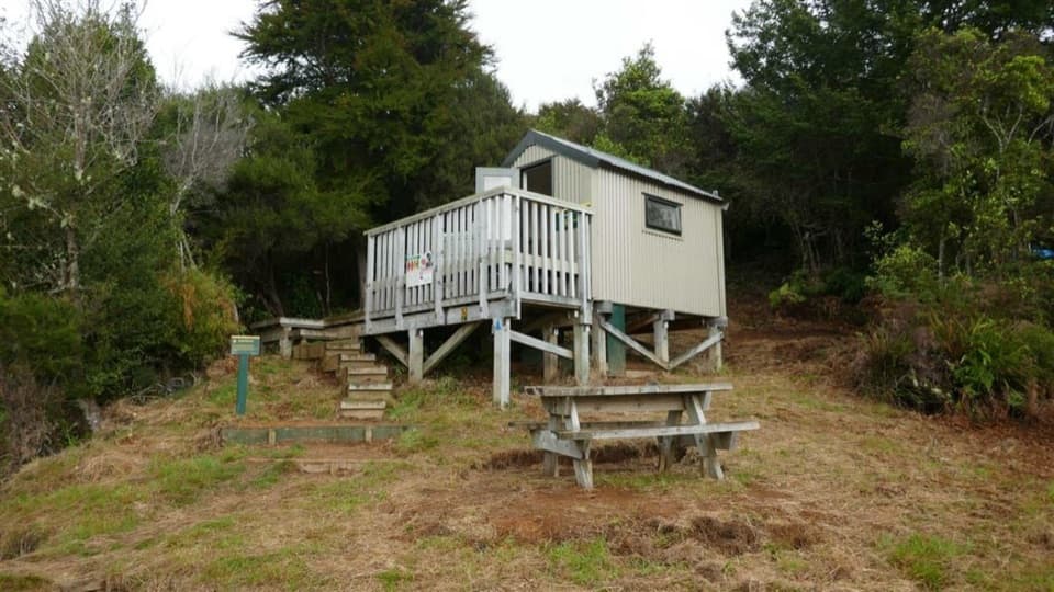
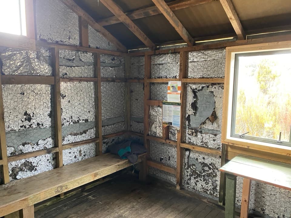
The building began as Moa Park Hut in 1958, with its prefabricated parts flown in by helicopter. After a recreation review in 2004, its bunks and open fire were removed and it became a shelter. The old hut name still appears in some listings, but this is a basic stop rather than bookable hut accommodation.
 Parkwolf’s verdictWhy it’s a shelter now
Map
Where it is

The highest, rockiest slopes around here are a summer buffet for grizzly bears.
Abel Tasman Tour Guide
Your drive to Moa Park Shelter, narrated.
Parkwolf is a GPS audio tour guide for Abel Tasman National Park. As you drive, it chimes in with what’s ahead: hidden gems, upcoming stops, history, geology, and wildlife, right through your car’s speakers.
More stories near here in the app
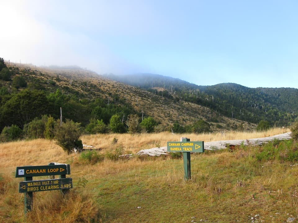
- Canaan Downs
- The Beach Bought by Thousands
- Why Fantails Follow You
- The Sweet Drops on Beech Trees
- 23 audio storiesacross Abel Tasman’s roads, triggered by GPS as you drive
- Wildlife heatmapsfor Kea, New Zealand Fur Seal, Little Penguin, and 13 more
- Works offlinemaps, 43 trails, 65 places, and audio download before you lose signal
- CarPlay readysimple controls built for the drive
“Fantastic app with many points of information… It’s great to just turn on while you’re driving and it gives you an audio tour of the national Park. We love it!!!!”


Guide
More about Moa Park Shelter
A shelter, not a hutMoa Park Shelter is a small Department of Conservation tramping shelter in an open tussock…
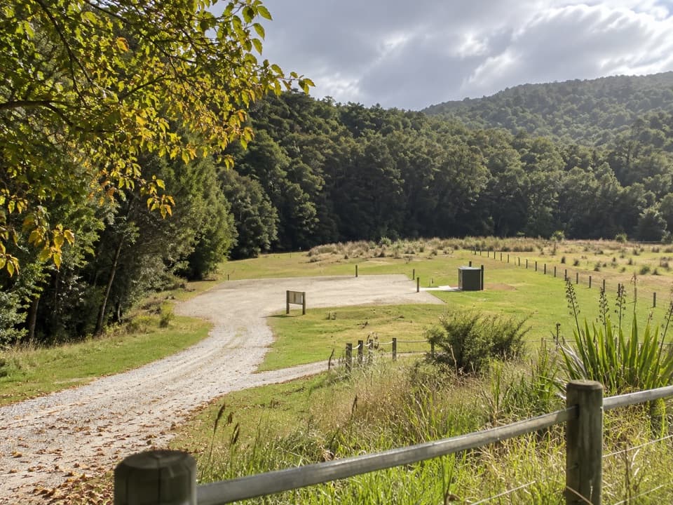
Moa Park Shelter is a small Department of Conservation tramping shelter in an open tussock basin on Abel Tasman’s Inland Track, around 1,000 metres above sea level. It’s a useful stop on a longer tramp, but there are no bunks: don’t plan on an indoor bed.
Plan for a proper trampFrom Canaan Downs car park, the walk is about 5.
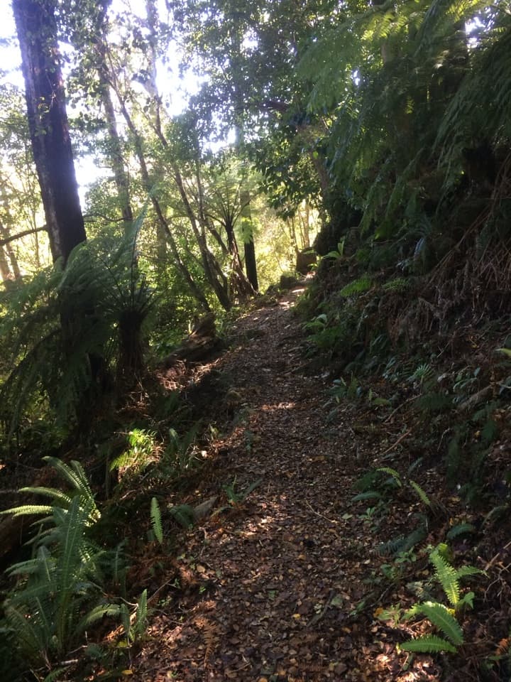
From Canaan Downs car park, the walk is about 5.2 km each way and takes roughly four to five hours return. Getting to the start also takes time: Canaan Road is narrow, winding and unsealed for about 11 km from State Highway 60. The Inland Track is an advanced tramping route; from Castle Rocks Hut, the shelter is another 3.5 km, about two hours away.
Carry enough water. DOC says reliable sources are scarce along the Inland Track and Giardia has been found in park water, so treat anything you collect. Flat clearings beside the shelter are used for tents, and a long-drop toilet is listed here; there’s no food or other service.
Step into the basinThe shelter sits just above Table Creek, where an unusual open patch of subalpine scrub and…
The shelter sits just above Table Creek, where an unusual open patch of subalpine scrub and tussock breaks up the surrounding forested ridges. Cold air pooling and poor-draining, infertile soil have been suggested as reasons trees don’t take hold here, though that explanation isn’t certain.
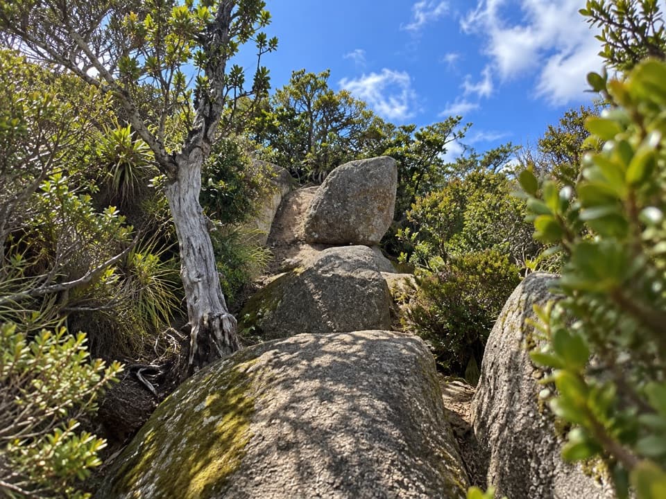
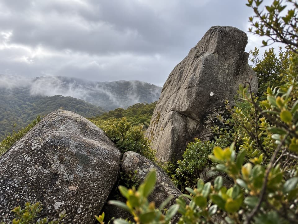
Porter Rock is a nearby granite outcrop reached by a side track, and the standout lookout in this area. Beyond the shelter, the Inland Track crosses a small stream and returns to stunted beech forest.
Wildlife
Wildlife in Abel Tasman
 10 sightingsKeaMost seen around 10 AMSighting map
 54 sightingsNew Zealand Fur SealMost seen around 10 AMSighting map
 20 sightingsLittle PenguinMost seen around 9 PMSighting map
 21 sightingsSouth Island KākāMost seen around 5 PMSighting map
 526 sightingsWekaMost seen around 9 AMSighting map
 16 sightingsTūīMost seen around 7 AMSighting map
Sighting maps show where each species has been reported across Abel Tasman. Wildlife moves, so no sighting is guaranteed.