Overview
About Castle Rocks
Why stop
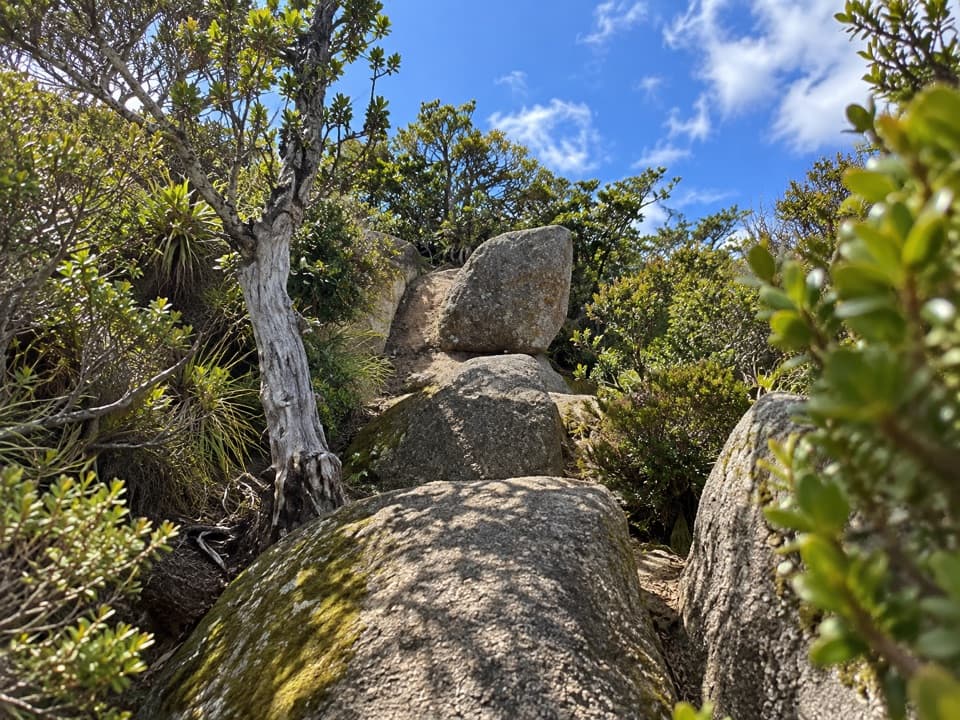
- Several ridge-edge outcrops open onto the valley and bay.
Heads up
- The spur adds a steep climb to an already long backcountry walk.
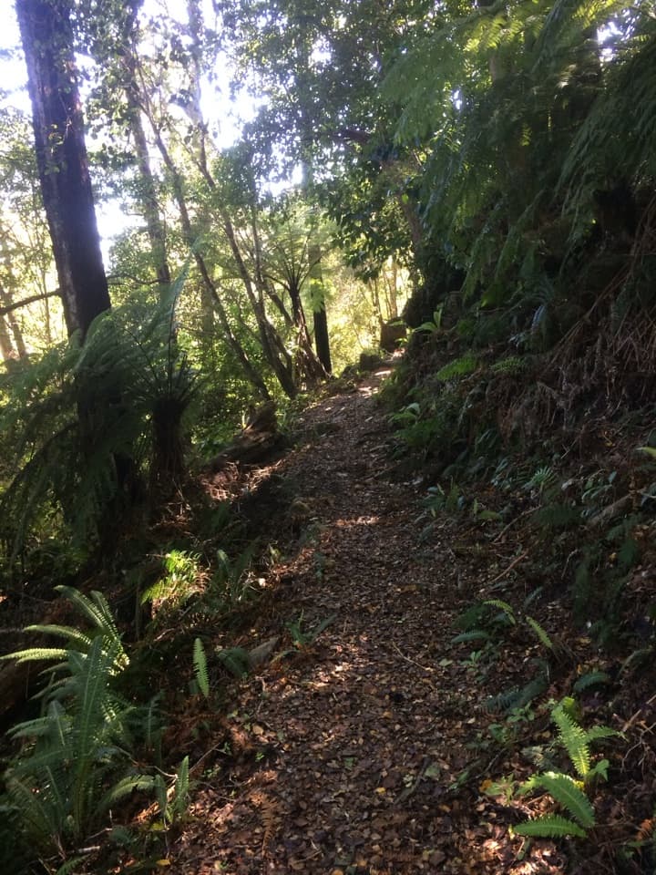
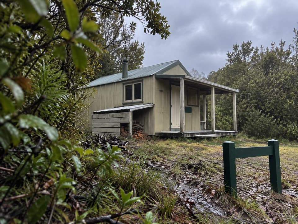
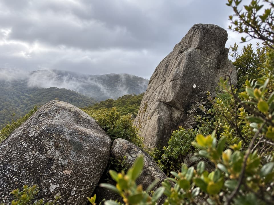
Castle Rocks is a group of granite outcrops on a ridge above Mārahau Valley. A signed side track leaves from Castle Rocks Hut for the rocks; it’s a worthwhile add-on if you’re already on the Inland Track, but this is not a roadside stop. The spur drops into a steep gully and climbs back out, so expect a rougher walk than the view might suggest.
 Parkwolf’s verdictWorth the detour if you’re already hiking
Map
Where it is

The highest, rockiest slopes around here are a summer buffet for grizzly bears.
Abel Tasman Tour Guide
Your drive to Castle Rocks, narrated.
Parkwolf is a GPS audio tour guide for Abel Tasman National Park. As you drive, it chimes in with what’s ahead: hidden gems, upcoming stops, history, geology, and wildlife, right through your car’s speakers.
More stories near here in the app
- Why Fantails Follow You
- Canaan Downs
- The Beach Bought by Thousands
- Mārahau and Te Waharoa
- 23 audio storiesacross Abel Tasman’s roads, triggered by GPS as you drive
- Wildlife heatmapsfor Kea, New Zealand Fur Seal, Little Penguin, and 13 more
- Works offlinemaps, 43 trails, 65 places, and audio download before you lose signal
- CarPlay readysimple controls built for the drive
“Fantastic app with many points of information… It’s great to just turn on while you’re driving and it gives you an audio tour of the national Park. We love it!!!!”


Guide
More about Castle Rocks
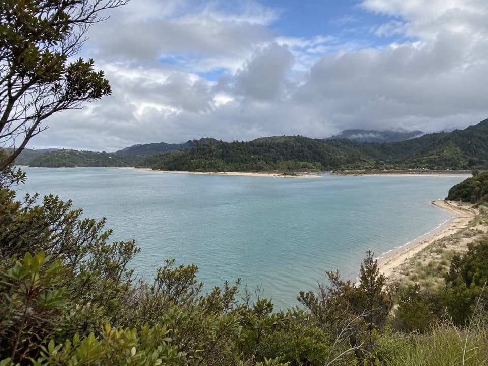
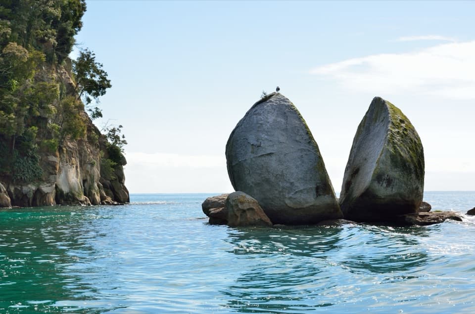
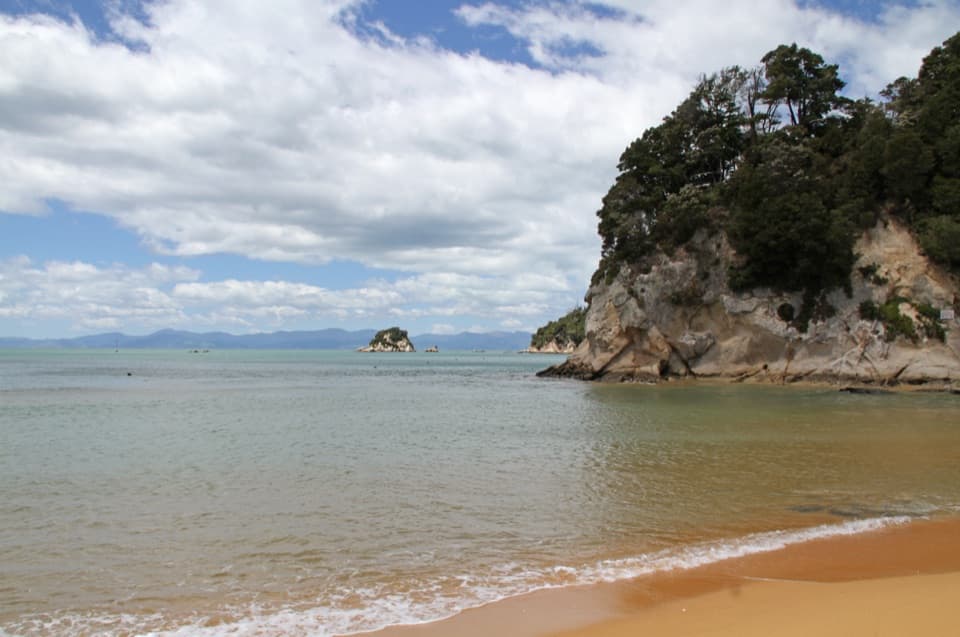
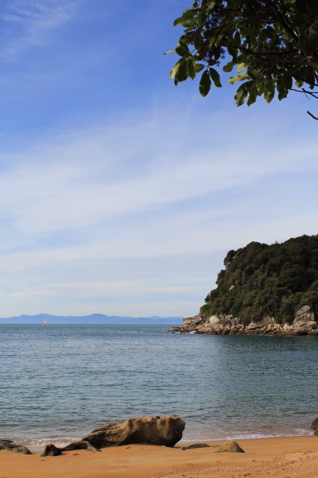
The viewFrom the ridge-edge rocks, look across Mārahau Valley toward Tasman Bay.
From the ridge-edge rocks, look across Mārahau Valley toward Tasman Bay. For a photo, frame the outcrops with the valley and bay behind rather than filling the frame with just one rock.
It takes a backcountry hikeThe Inland Track is an advanced 41.1 km one-way route, usually walked in three days.
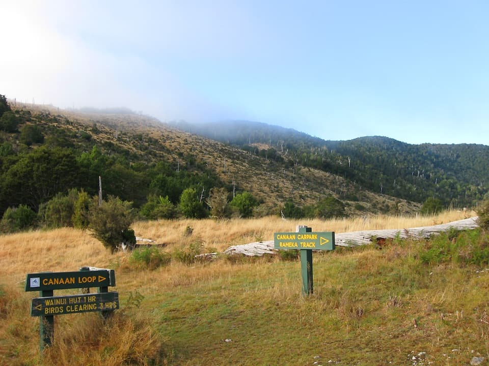
The Inland Track is an advanced 41.1 km one-way route, usually walked in three days. The approach from Mārahau to Castle Rocks Hut is 15.1 km and about five and a half hours; the shorter approach from Canaan Downs is still 8.5 km one way and three to four hours to the hut. The rocks are another side trip from there, and dogs aren’t allowed on the Inland Track.
Wildlife
Wildlife in Abel Tasman
 10 sightingsKeaMost seen around 10 AMSighting map
 54 sightingsNew Zealand Fur SealMost seen around 10 AMSighting map
 20 sightingsLittle PenguinMost seen around 9 PMSighting map
 21 sightingsSouth Island KākāMost seen around 5 PMSighting map
 526 sightingsWekaMost seen around 9 AMSighting map
 16 sightingsTūīMost seen around 7 AMSighting map
Sighting maps show where each species has been reported across Abel Tasman. Wildlife moves, so no sighting is guaranteed.