Overview
About Porter Rock
Why stop
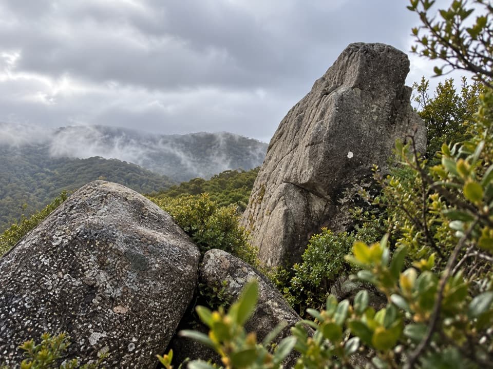
- Distinctive granite boulders above the surrounding bush.
Heads up
- Several hours of hiking for a brief scramble at the end.
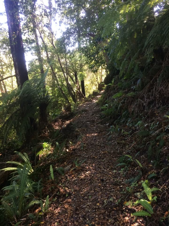
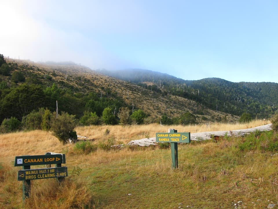
Porter Rock is a granite outcrop lookout in the Moa Park area, reached by a short signed side track from the inland trail network. The rocks are a quick scramble once you get there, but reaching the area takes a proper tramp; this is not a roadside stop. The Inland Track is a 41.1 km advanced route, normally walked over three days, while access from Canaan Downs can make a separate day outing. Published walk accounts put the approach at several hours, depending on route. Carry your own food and water because reliable water is scarce along parts of the track.
 Parkwolf’s verdictWorth the inland detour?
Map
Where it is

The highest, rockiest slopes around here are a summer buffet for grizzly bears.
Abel Tasman Tour Guide
Your drive to Porter Rock, narrated.
Parkwolf is a GPS audio tour guide for Abel Tasman National Park. As you drive, it chimes in with what’s ahead: hidden gems, upcoming stops, history, geology, and wildlife, right through your car’s speakers.
More stories near here in the app
- Canaan Downs
- The Beach Bought by Thousands
- Why Fantails Follow You
- The Sweet Drops on Beech Trees
- 23 audio storiesacross Abel Tasman’s roads, triggered by GPS as you drive
- Wildlife heatmapsfor Kea, New Zealand Fur Seal, Little Penguin, and 13 more
- Works offlinemaps, 43 trails, 65 places, and audio download before you lose signal
- CarPlay readysimple controls built for the drive
“Fantastic app with many points of information… It’s great to just turn on while you’re driving and it gives you an audio tour of the national Park. We love it!!!!”


Guide
More about Porter Rock
A scramble with a weather-dependent viewA signed sidetrack leads from the main route to the granite formation, then the last few…
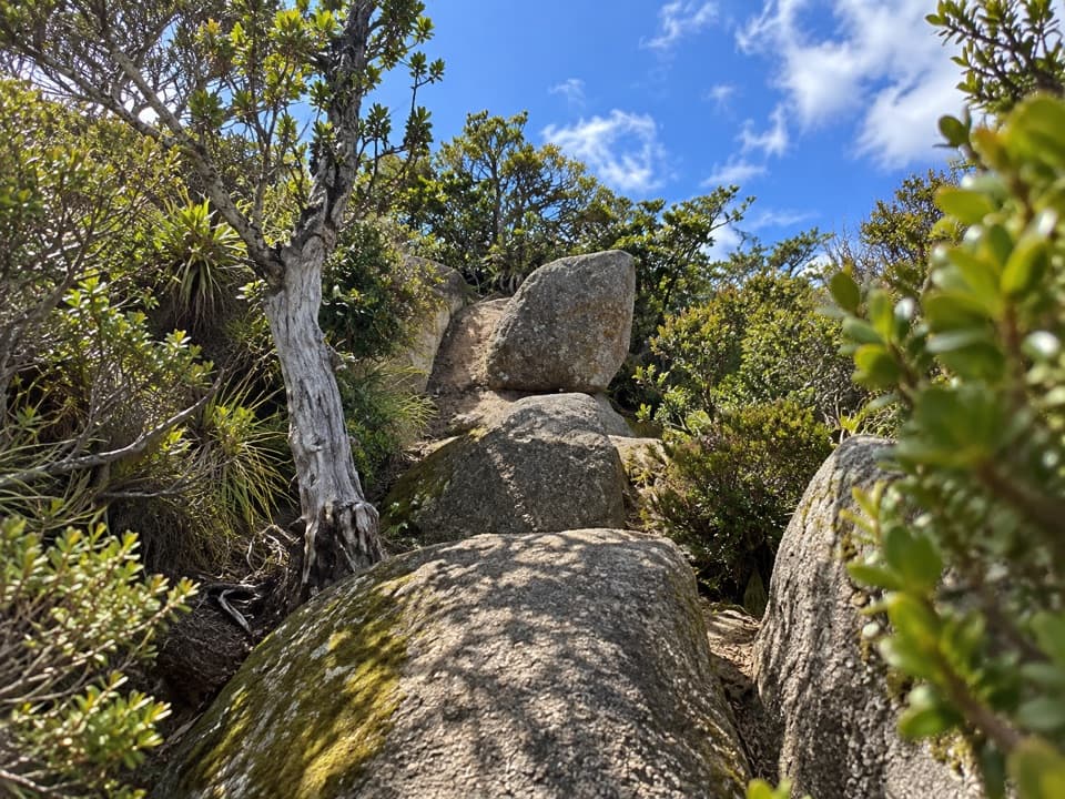
A signed sidetrack leads from the main route to the granite formation, then the last few minutes are over uneven rocks rather than a built viewing platform. From the exposed outcrop, the view opens across the forest and, in clear conditions, toward both Tasman Bay and Golden Bay. Cloud can hide the coast, so the panorama depends on visibility. Take care over the boulders, and dogs are not allowed on the Inland Track.
For a photo, keep a granite boulder and the treetops in the foreground, with the distant bays beyond them on a clear day. That layered view shows both the rocky lookout and the scale of the landscape.
The Moa Park settingMoa Park is a subalpine basin at roughly 1,000 m, where tussock opens out above the beech…
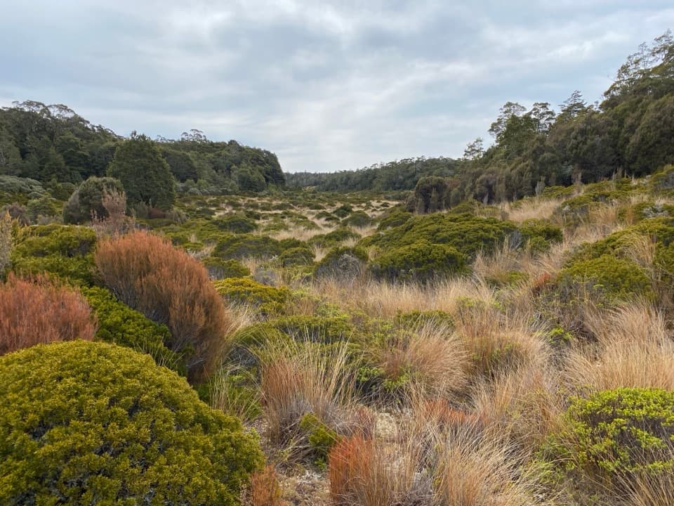
Moa Park is a subalpine basin at roughly 1,000 m, where tussock opens out above the beech forest. Porter Rock is one of the area's granite outcrops, a rocky inland stop in a park better known for its coast. The name's origin and a more specific story about this outcrop were not documented in the sources checked.
Wildlife
Wildlife in Abel Tasman
 10 sightingsKeaMost seen around 10 AMSighting map
 54 sightingsNew Zealand Fur SealMost seen around 10 AMSighting map
 20 sightingsLittle PenguinMost seen around 9 PMSighting map
 21 sightingsSouth Island KākāMost seen around 5 PMSighting map
 526 sightingsWekaMost seen around 9 AMSighting map
 16 sightingsTūīMost seen around 7 AMSighting map
Sighting maps show where each species has been reported across Abel Tasman. Wildlife moves, so no sighting is guaranteed.