Wainui Track in Abel Tasman National Park

Abel Tasman National Park, TA

Wainui Track

Inland crossing: hut, river fords, open ridge.

Photo: Wikimedia Commons
Length
12.4km
Time
4.5hr
Elev. change
204m
Difficulty
Moderate
  • No dogs
  • High point 875 m

Hear the audio tour

Canaan Downs

Overview

About Wainui Track

Why go

  • Beech forest, a river valley and an open ridge make a varied traverse.
  • The hut clearing has a kākā acclimatisation aviary.

Heads up

  • Two unbridged river fords can be impassable after heavy rain.
  • The road ends are 61 km apart, so transport takes planning.

Map & elevation

The route

Loading the Abel Tasman map
Full map
Elevation671–875 m
TrailheadCanaan Downs Campsite / Harwoods Hole Track car park-40.94298, 172.89180
Keep this map with you offline in the Parkwolf app

Plan your hike

Before you go

Parking

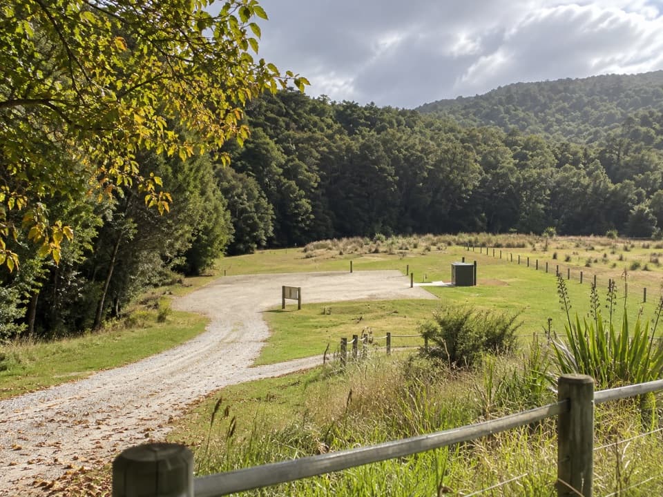
Start at Canaan Downs Campsite / Harwoods Hole Track car park and finish at Birds Clearing off Bird Road. The road ends are about 61 km (1.5 hours) apart by car, so arrange a pickup or second vehicle. Canaan Road is narrow, winding and unsealed.

Safety

Two unbridged Wainui River fords, including one just after Wainui Hut, may be impassable after heavy rain. Dogs are prohibited along the route.

A park ranger sits on a dash-mounted phone, talking, as Parkwolf’s Tour Guide plays “Army Cutworm Moths: A Grizzly Bear Buffet” on Grand Loop Road below Dunraven Pass in Yellowstone
Parkwolf Tour GuideThe highest, rockiest slopes around here are a summer buffet for grizzly bears.

Abel Tasman Tour Guide

Your drive to Wainui Track, narrated.

Parkwolf is a GPS audio tour guide for Abel Tasman National Park. As you drive, it chimes in with what’s ahead: hidden gems, upcoming stops, history, geology, and wildlife, right through your car’s speakers.

Recorded for this trailhead

Canaan Downs
0:00 / 0:37
“Up ahead is Canaan Downs, a small tent campground in a clearing of meadow, scattered rocks and old beech forest. It's a simple base for inland walks and mountain biking, with ten unpowered sites that need booking.”

Plays as you drive up to this trailhead in the Parkwolf Abel Tasman Tour Guide.

More stories near here in the app

  • The Beach Bought by Thousands
  • Why Fantails Follow You
  • The Sweet Drops on Beech Trees
  • The Missing Female Parrots
  • 23 audio storiesacross Abel Tasman’s roads, triggered by GPS as you drive
  • Wildlife heatmapsfor Kea, New Zealand Fur Seal, Little Penguin, and 13 more
  • Works offlinemaps, 43 trails, 65 places, and audio download before you lose signal
  • CarPlay readysimple controls built for the drive
★★★★★
“Fantastic app with many points of information… It’s great to just turn on while you’re driving and it gives you an audio tour of the national Park. We love it!!!!”
JMJamesApp Store review
Download Parkwolf on the App StoreGet Parkwolf on Google Play

4.7 from 8,600+ ratings

Trail guide

Hiking Wainui Track

A full inland traverseWainui Track is a 12.4 km (7.7 mi) point-to-point walk from Canaan Downs to Birds Clearing.

Wainui Track is a 12.4 km (7.7 mi) point-to-point walk from Canaan Downs to Birds Clearing. It climbs on Moa Park Track to Wainui Saddle, drops to Wainui Hut and the river, then climbs the valley’s western side and follows the ridge north. This is the through-walk, not the shorter hut walk that turns back at Wainui Hut. Allow about four to five hours; the published stage estimates add up to 3 hours 45 minutes, before stops and the river fords. The two road ends are about 61 km (1.5 hours) apart by car, so plan a pickup or second vehicle before setting out.

Up from Canaan DownsFrom the car park, Moa Park Track starts as a farm track and climbs along the forest edge.

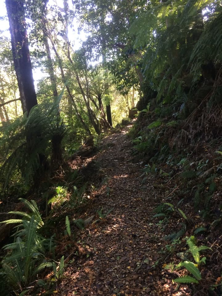
From the car park, Moa Park Track starts as a farm track and climbs along the forest edge. Pages Saddle comes after about 1 km; stay on the Moa Park route as Rameka Track forks left. Wainui Saddle, about 3 km from the car park, is where the route turns down into Wainui Valley. The footing gets rougher and rootier under beech forest, with mossy banks and several small, unbridged creeks beside the Wainui River.

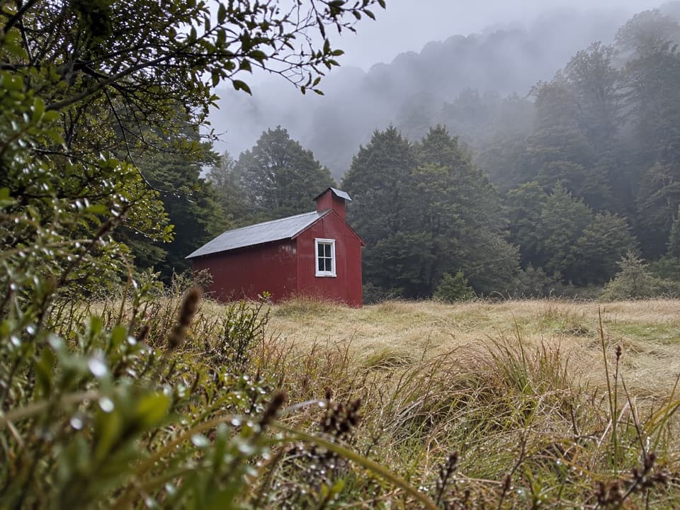
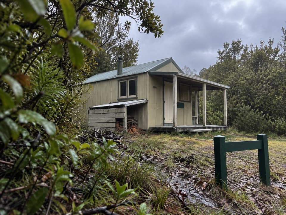
Wainui Hut and the riverWainui Hut sits in a grassy clearing beside the river.

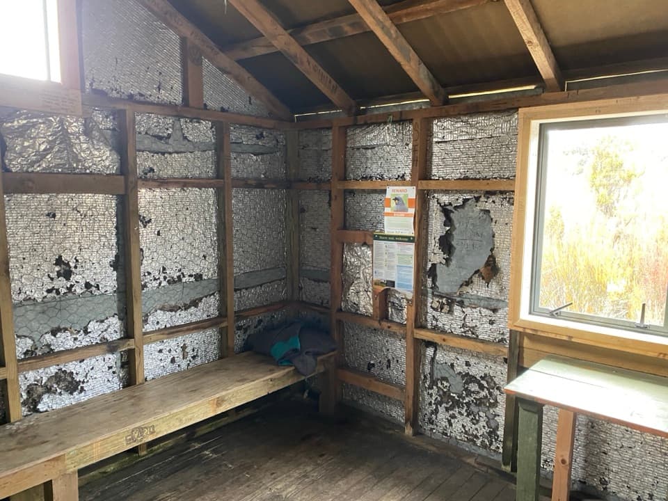
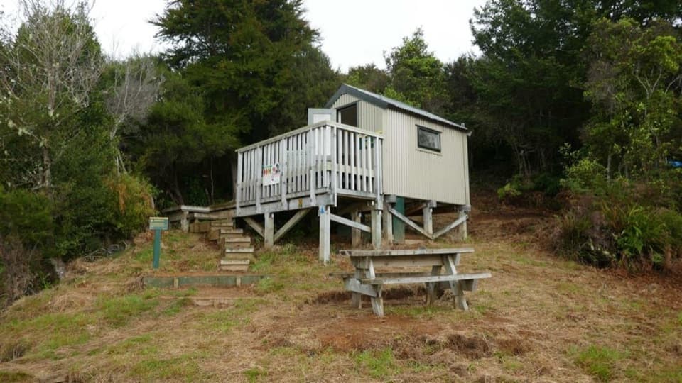
Wainui Hut sits in a grassy clearing beside the river. Its clearing has an aviary used to acclimatise kākā before their release into the park; that work has been going on since 2015. If you stay overnight, the four-bunk hut is first-come, first-served and requires a DOC hut ticket.

The through-route crosses the Wainui River without a bridge just after the hut. About 700 m later, continue straight at the junction toward Birds Clearing; the right-hand branch climbs Evans Ridge toward the Inland Track and Awapoto Hut. The Wainui Track follows the river for about another kilometre, fords back to the true left, then climbs the western side of the valley. Both river crossings can become impassable after heavy rain.

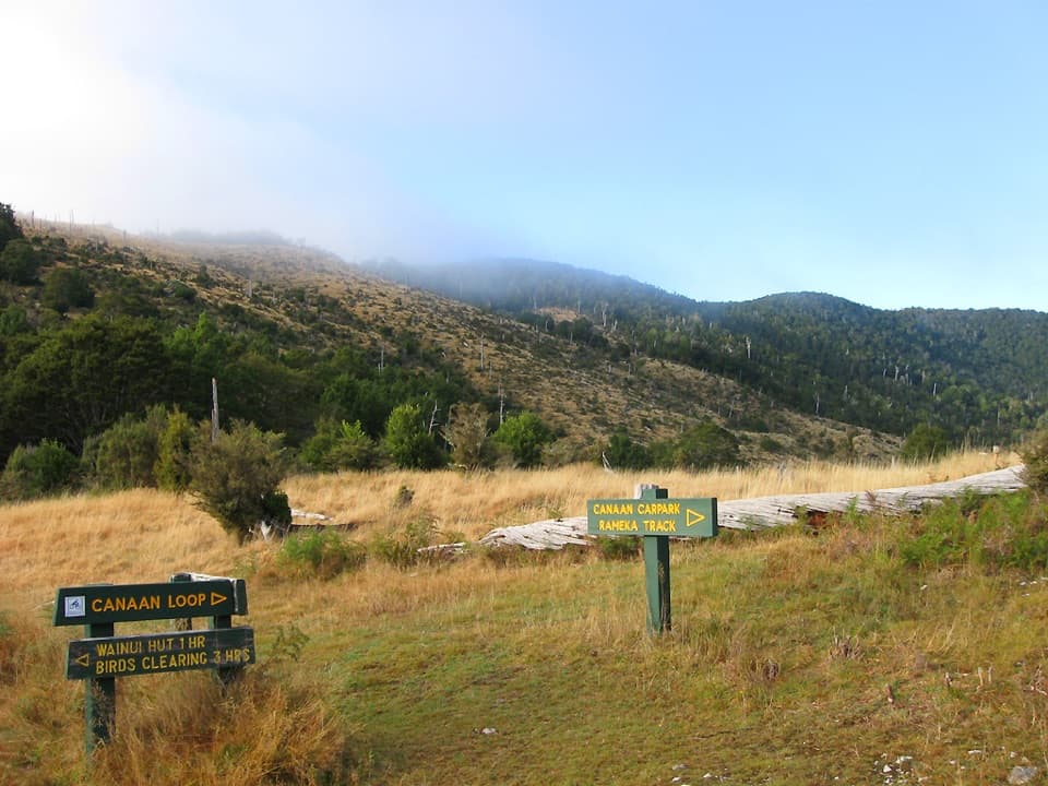
The ridge and the finishThe climb settles onto the ridge crest for about 2 km and reaches an open high point, then…

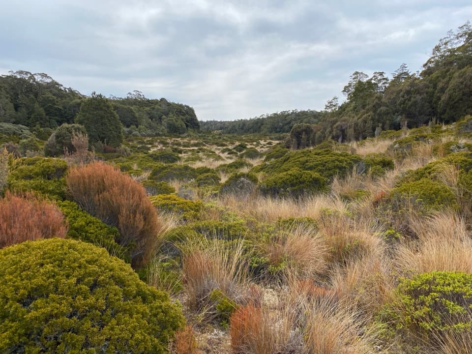
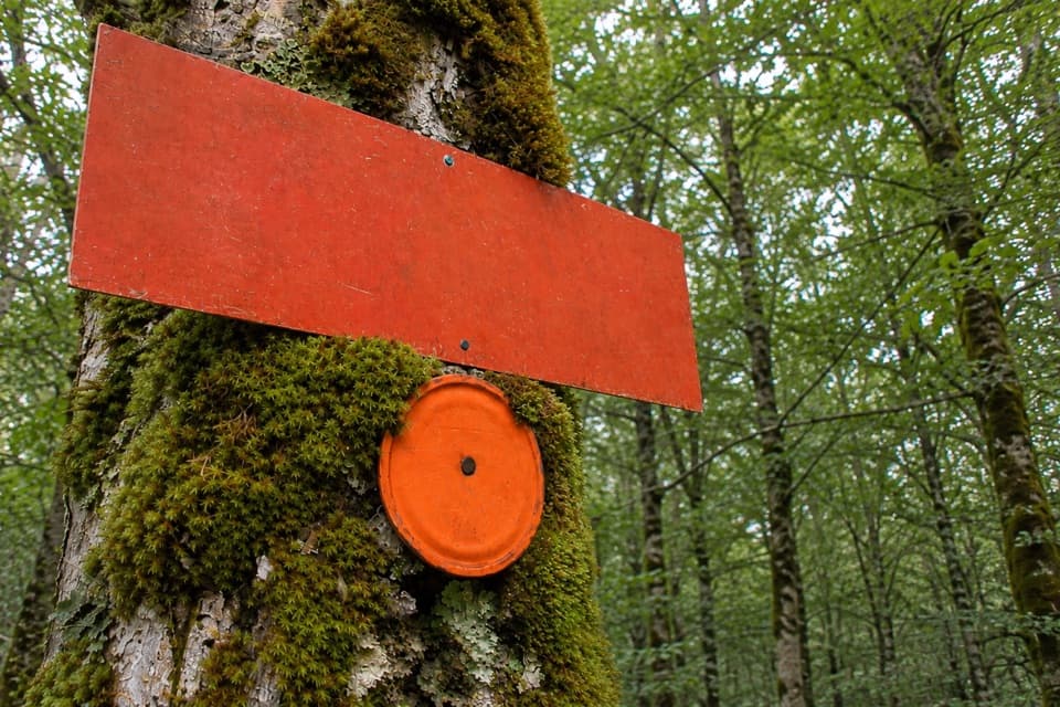
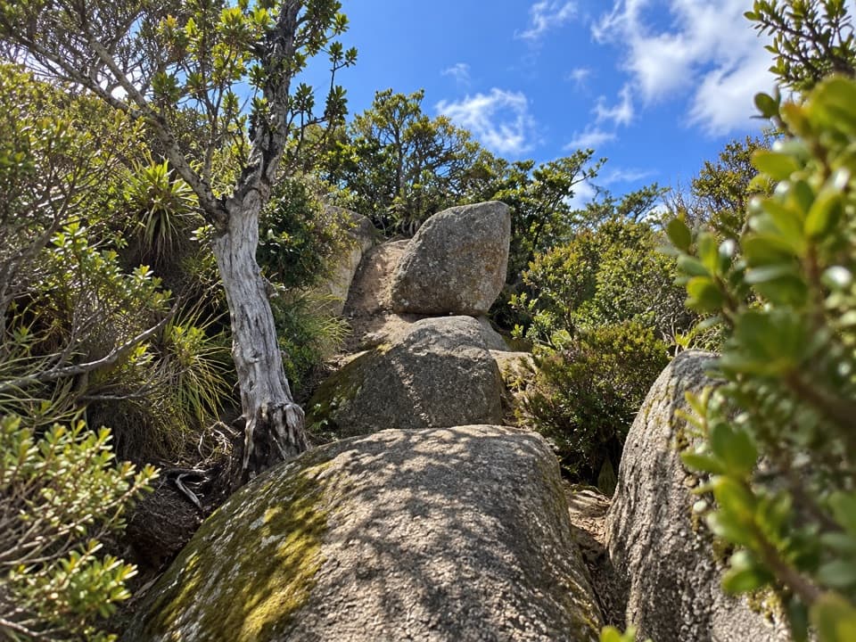
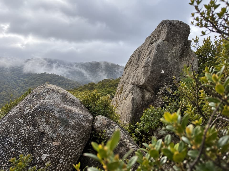
The climb settles onto the ridge crest for about 2 km and reaches an open high point, then crosses scrub and pasture for roughly 1.5 km to Birds Clearing. Wainui Saddle is the best documented viewpoint: look toward Waingaro Valley, with the Kahurangi peaks behind it on a clear day. The direction signs and tussock make a useful foreground if you take a photo there.

Access and rulesStart at Canaan Downs Campsite / Harwoods Hole Track car park and finish at Birds Clearing off…

Start at Canaan Downs Campsite / Harwoods Hole Track car park and finish at Birds Clearing off Bird Road. Canaan Road is narrow, winding and unsealed. Dogs are prohibited on this route, including in both Canaan Downs Scenic Reserve and Abel Tasman National Park.

Wildlife

Wildlife in Abel Tasman

All Abel Tasman wildlife maps

Sighting maps show where each species has been reported across Abel Tasman. Wildlife moves, so no sighting is guaranteed.

Keep exploring

Near Wainui Track

See it all on the map

Trails that start nearby

Places near the trailhead

Parkwolf’s Abel Tasman ranking

Top-rated trails in Abel Tasman

All 43 trails
  1. 1Abel Tasman Coast TrackChallenging · 60 km
  2. 2Mārahau to AnchorageModerate · 12.4 km
  3. 3Anchorage to Bark BayModerate · 11.5 km
  4. 4Wainui Falls TrackModerate · 3.4 km
  5. 5Pitt Head Loop TrackModerate · 3.2 km
  6. 6Tōtaranui to Anapai BayModerate · 6.4 km

Take Parkwolf to Abel Tasman.

The audio tour guide for the drive, plus offline maps, trails, and wildlife heatmaps for when the signal drops.

4.7 from 8,600+ ratings

Download Parkwolf on the App StoreGet Parkwolf on Google Play