Parking
Start at Canaan Downs Campsite car park, also signed for Harwoods Hole Track. From SH60, Canaan Road is about 11 km of narrow, winding, unsealed road; allow extra time and drive cautiously.
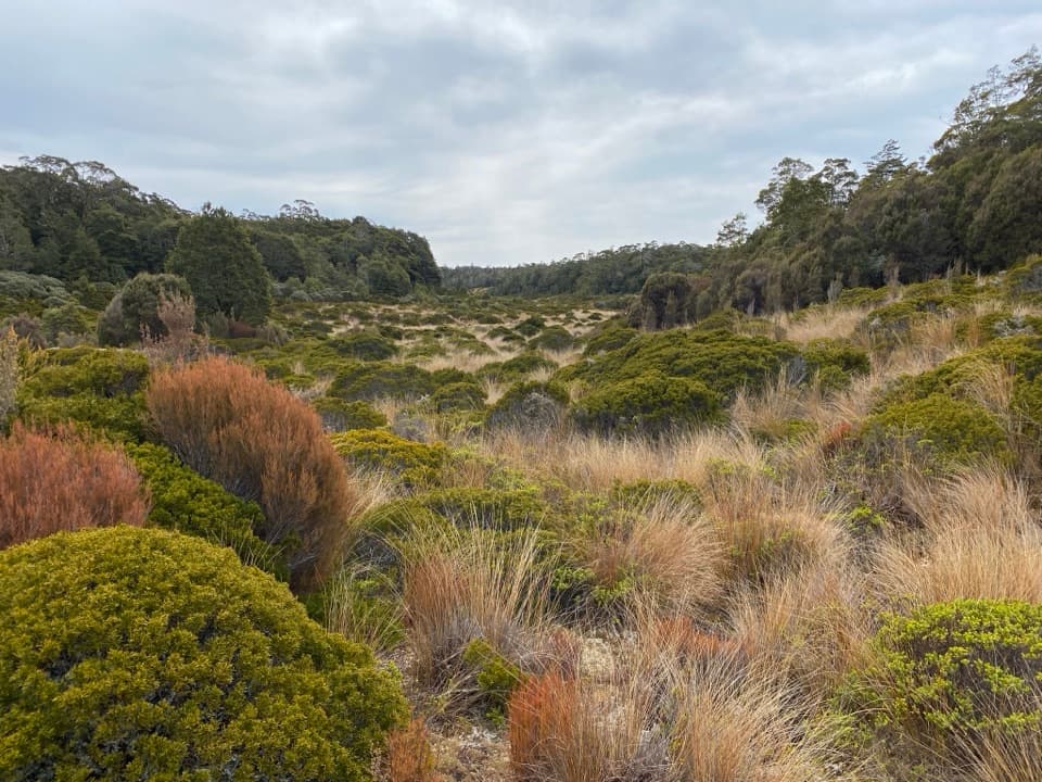
Abel Tasman National Park, TA
A long climb leads through a tussock basin to a granite lookout.
Overview
Map & elevation
Plan your hike

The highest, rockiest slopes around here are a summer buffet for grizzly bears.
Abel Tasman Tour Guide
Parkwolf is a GPS audio tour guide for Abel Tasman National Park. As you drive, it chimes in with what’s ahead: hidden gems, upcoming stops, history, geology, and wildlife, right through your car’s speakers.
Recorded for this trailhead
Canaan Downs“Up ahead is Canaan Downs, a small tent campground in a clearing of meadow, scattered rocks and old beech forest. It's a simple base for inland walks and mountain biking, with ten unpowered sites that need booking.”
Plays as you drive up to this trailhead in the Parkwolf Abel Tasman Tour Guide.
More stories near here in the app
“Fantastic app with many points of information… It’s great to just turn on while you’re driving and it gives you an audio tour of the national Park. We love it!!!!”


Trail guide
Porter Rock via Moa Park Track is a 7.7-mile (12.4 km) out-and-back from Canaan Downs Campsite. The mapped approach is about 6.2 km to the viewpoint; return the same way. Allow five to six hours with a break. This is a long inland half-day, with a steep, rooty climb and a final clamber over granite, but it gives you two very different payoffs: an open subalpine basin and a coastal view from the rocks. Dogs aren’t allowed on the DOC track.
The track leaves the car park as a farm track along the edge of beech forest, looking over the rolling grassland and limestone outcrops of Canaan Downs. Pages Saddle is about 1 km in. At roughly 3 km, Wainui Saddle has a branch north toward Wainui Hut; stay on Moa Park Track. Past the saddle, the climb steepens up Evans Ridge. Dracophyllum takes over, and its twisted roots make the footing slower. The track dips through two creek gullies before it joins the Inland Track.
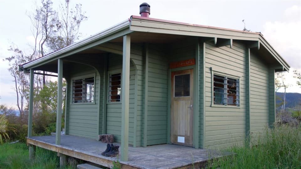
A short descent brings you into Moa Park, an open patch of subalpine scrub and tussock around 1,000 m, ringed by beech and mountain cedar. It’s strikingly low for a treeless basin here. Cold air pooling and poorly draining soil are thought to help keep the basin open. The small Moa Park Shelter stands above Table Creek; its bunks have been removed, so think of it as a place to pause rather than an overnight hut.
If you want the basin without the extra spur and rock scramble, turn back here: Canaan Downs to Moa Park is about 10.4 km (6.5 miles) return.
For the full walk, continue along the Inland Track to the signed Porter Rock spur. The route climbs past an unnamed granite high point before turning toward the outcrop. The last approach is over large rocks and takes some clambering. From the top, the granite blocks frame a wide view across Tasman Bay and the Abel Tasman coast when the cloud lifts. The panorama is the reason to keep going; take care on the uneven rock and don’t climb farther than feels secure.
Use the Canaan Downs Campsite car park, also signed for Harwoods Hole Track. From SH60, Canaan Road runs about 11 km to the car park and is narrow, winding and unsealed, so leave time for the drive. The route reaches about 1,000 m and no dependable drinking-water refill was verified en route; plan to carry what you need for the full outing.
Wildlife
 10 sightingsKeaMost seen around 10 AMSighting map
 54 sightingsNew Zealand Fur SealMost seen around 10 AMSighting map
 20 sightingsLittle PenguinMost seen around 9 PMSighting map
 21 sightingsSouth Island KākāMost seen around 5 PMSighting map
 526 sightingsWekaMost seen around 9 AMSighting map
 16 sightingsTūīMost seen around 7 AMSighting map
Sighting maps show where each species has been reported across Abel Tasman. Wildlife moves, so no sighting is guaranteed.
Keep exploring
ModerateMoa Park Track10.4 km · 4.5 hr · At the trailheadA long climb into a high basin of tussock, scrub and shelter.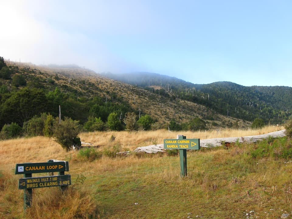 ModerateWainui Hut Track11.3 km · 3.3 hr · At the trailheadA grassy saddle, creekside forest, and a four-bunk backcountry hut.ModerateWainui Track12.4 km · 4.5 hr · At the trailheadInland crossing: hut, river fords, open ridge.ModerateCanaan Loop Track15.6 km · 6 hr · At the trailheadLog City, granite creek crossings, and a 930 m saddle.
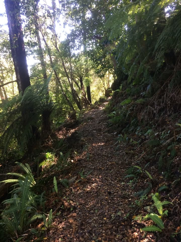 ModerateRameka Track14.2 km · 5.5 hr · 0.8 km awayA beech-forest descent with a long climb back to Pages Saddle.
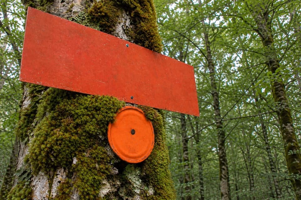 ModerateMt Evans Route5.5 km · 2.5 hr · 3.7 km awayA marked but unmaintained crossing over Abel Tasman's highest summit.
 ChallengingAbel Tasman Coast Track60 km · 20.1 hr · 11.2 km awayGolden beaches, forested headlands, and a tide crossing to plan around.
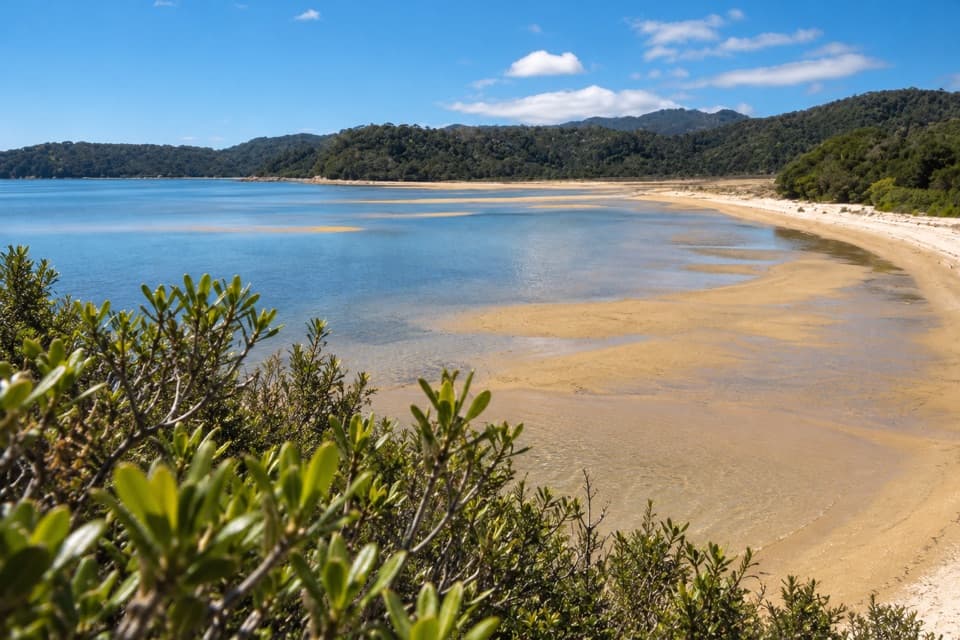 ModerateMārahau to Observation Beach18.3 km · 5.5 hr · 11.2 km awayA long Coast Track walk to a beach facing Adele Island.
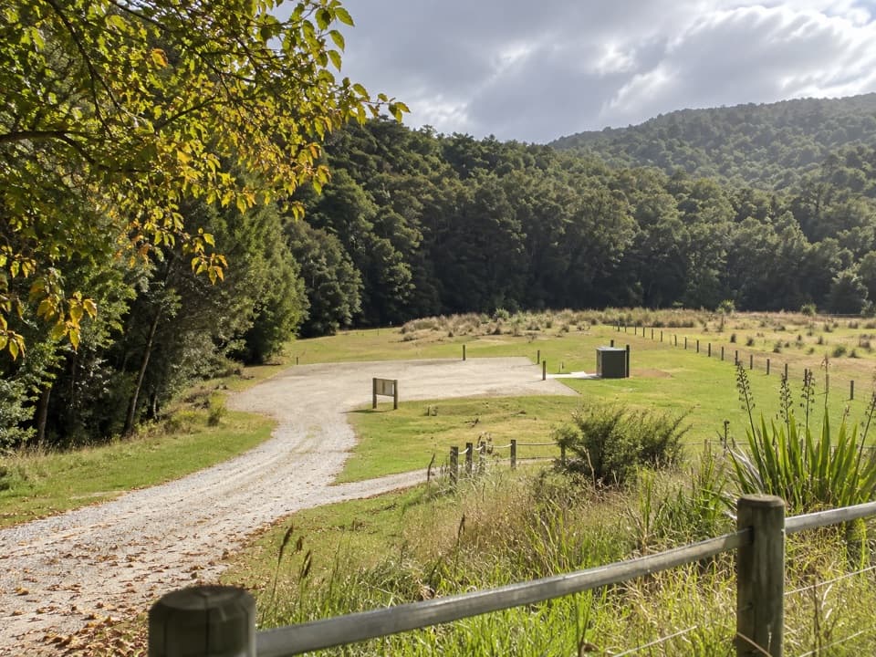 Campground · At the trailheadCanaan Downs CampsiteA quiet 10-site base for Canaan’s inland and mountain-bike tracks.
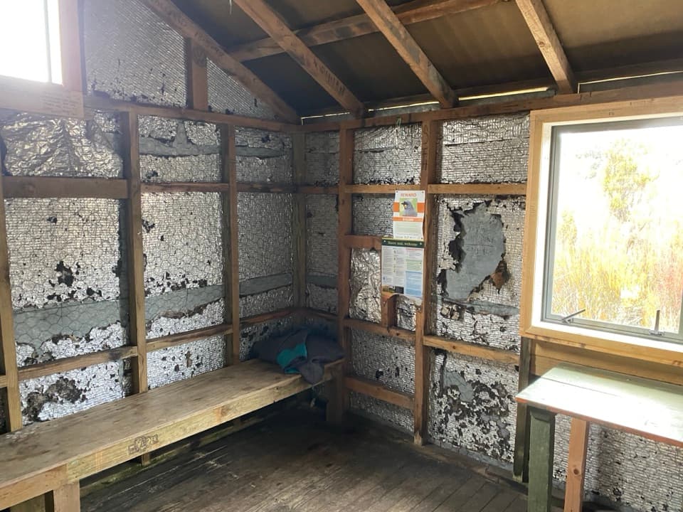 Sight · 3.8 km awayMoa Park ShelterA bunkless shelter among tussock, with a granite lookout nearby.
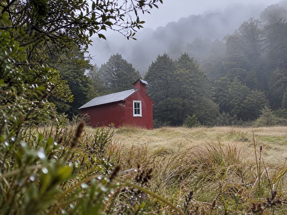 Lodging · 4 km awayWainui HutA simple four-bunk overnight in the Wainui Valley.
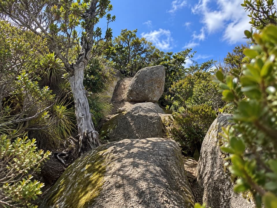 Sight · 4.6 km awayPorter RockAn inland granite scramble that opens to a 360° coastal panorama.
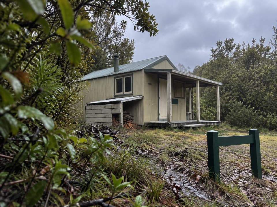 Lodging · 5.6 km awayCastle Rock HutA remote eight-bunk stop above Marahau, with the bay in view.
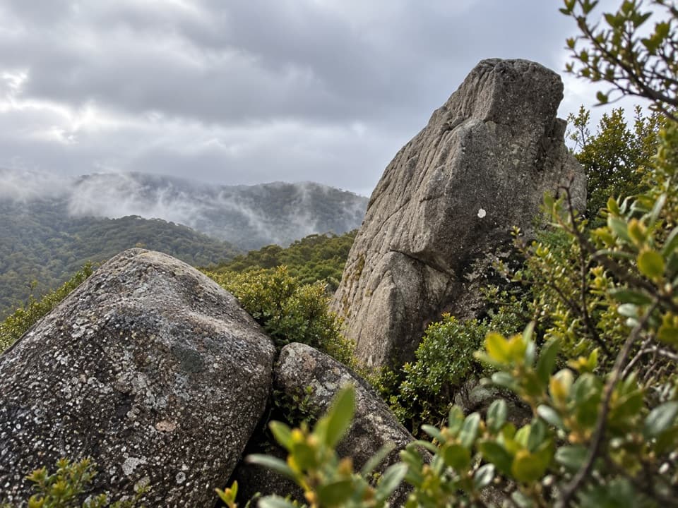 Sight · 5.6 km awayCastle RocksGranite outcrops above Mārahau Valley, with Tasman Bay beyond.
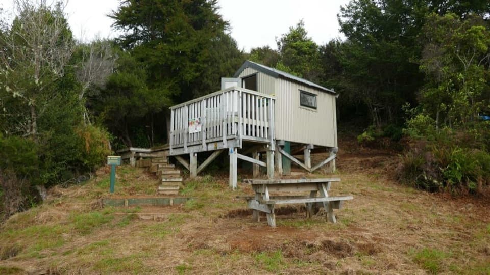 Lodging · 9.5 km awayHolyoakes ShelterA simple free hut for the Inland Track's overnight tramp.
 Lodging · 9.8 km awayAwapoto HutA 12-bunk backcountry stop with an estuary view from the deck.
Parkwolf’s Abel Tasman ranking

The audio tour guide for the drive, plus offline maps, trails, and wildlife heatmaps for when the signal drops.




