Parking
Use the Canaan Downs car park at the end of Canaan Road, an 11 km narrow, winding, unsealed drive from SH60. Walk uphill for about 10 minutes on Moa Park Track to the Rameka turnoff at Pages Saddle.
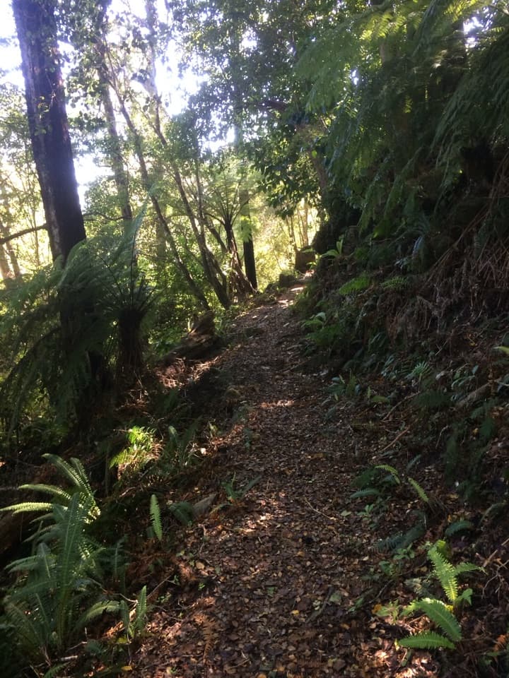
Abel Tasman National Park, TA
A beech-forest descent with a long climb back to Pages Saddle.
Overview
Map & elevation
Plan your hike

The highest, rockiest slopes around here are a summer buffet for grizzly bears.
Abel Tasman Tour Guide
Parkwolf is a GPS audio tour guide for Abel Tasman National Park. As you drive, it chimes in with what’s ahead: hidden gems, upcoming stops, history, geology, and wildlife, right through your car’s speakers.
Recorded for this trailhead
Canaan Downs“Up ahead is Canaan Downs, a small tent campground in a clearing of meadow, scattered rocks and old beech forest. It's a simple base for inland walks and mountain biking, with ten unpowered sites that need booking.”
Plays as you drive up to this trailhead in the Parkwolf Abel Tasman Tour Guide.
More stories near here in the app
“Fantastic app with many points of information… It’s great to just turn on while you’re driving and it gives you an audio tour of the national Park. We love it!!!!”


Trail guide
Rameka Track is a shared walking and mountain-bike track dropping from Pages Saddle through beech forest. This entry maps a walk out and back on that corridor: about 14.2 km (8.8 mi) in total, with roughly 450 m of climbing; allow five to six hours including the approach from Canaan Downs. The Department of Conservation’s page labels its 6 km figure a loop, but describes a downhill track and no return connection. The named mapped line is about 7.1 km one way, so this route turns around at the end of the DOC section and retraces it.
From Pages Saddle the path sidles down through beech forest. The first five kilometres descend gently, with rocky sections and creek crossings; the last stretch drops more steeply. The way back climbs the same line. The sampled profile ranges from about 825 m at its high point to 476 m at the end, so expect a real climb on the return rather than a flat stroll.
Park at Canaan Downs, at the end of the narrow, winding, unsealed Canaan Road off SH60. From the car park, walk uphill for about ten minutes on Moa Park Track to the Rameka turnoff at Pages Saddle. This is not a walkers-only track: the Department of Conservation asks mountain bikers to give way, but you share their downhill route. Dogs aren’t allowed. Turn around at the end of the DOC section; the gravel road and Pack Track, Great Expectations and The Klicks continue the separate descent across publicly accessible private land.
Wildlife
 10 sightingsKeaMost seen around 10 AMSighting map
 54 sightingsNew Zealand Fur SealMost seen around 10 AMSighting map
 20 sightingsLittle PenguinMost seen around 9 PMSighting map
 21 sightingsSouth Island KākāMost seen around 5 PMSighting map
 526 sightingsWekaMost seen around 9 AMSighting map
 16 sightingsTūīMost seen around 7 AMSighting map
Sighting maps show where each species has been reported across Abel Tasman. Wildlife moves, so no sighting is guaranteed.
Keep exploring
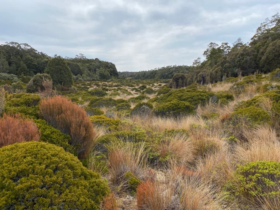 ModerateMoa Park Track10.4 km · 4.5 hr · 0.8 km awayA long climb into a high basin of tussock, scrub and shelter.ModeratePorter Rock via Moa Park Track12.4 km · 5.5 hr · 0.8 km awayA long climb leads through a tussock basin to a granite lookout.
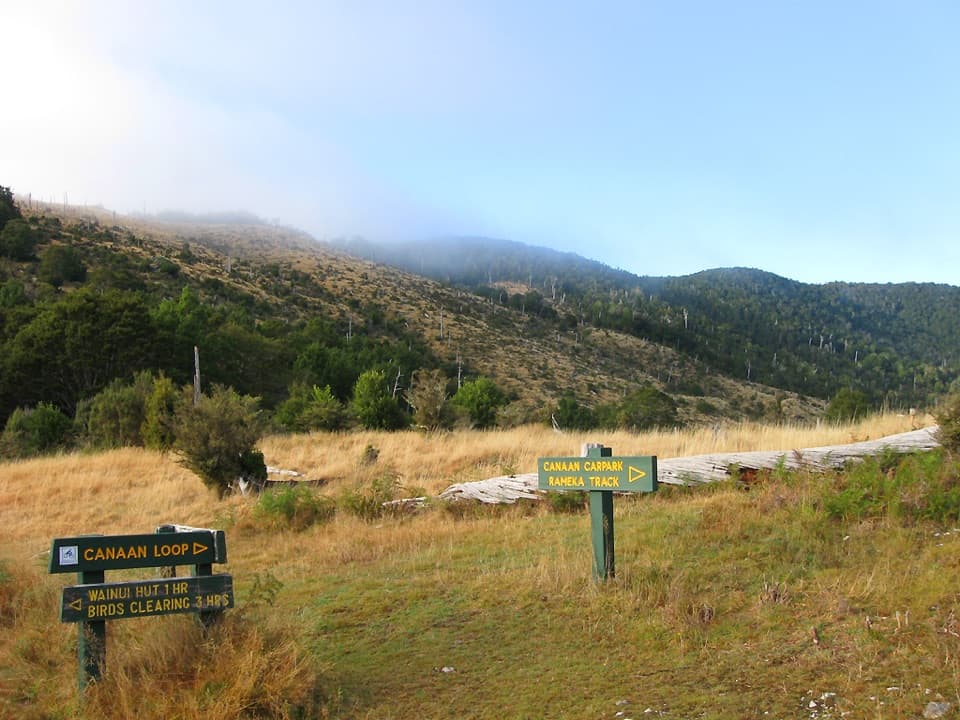 ModerateWainui Hut Track11.3 km · 3.3 hr · 0.8 km awayA grassy saddle, creekside forest, and a four-bunk backcountry hut.ModerateWainui Track12.4 km · 4.5 hr · 0.8 km awayInland crossing: hut, river fords, open ridge.ModerateCanaan Loop Track15.6 km · 6 hr · 0.8 km awayLog City, granite creek crossings, and a 930 m saddle.
 ModerateMt Evans Route5.5 km · 2.5 hr · 3 km awayA marked but unmaintained crossing over Abel Tasman's highest summit.
 ChallengingAbel Tasman Coast Track60 km · 20.1 hr · 10.9 km awayGolden beaches, forested headlands, and a tide crossing to plan around.
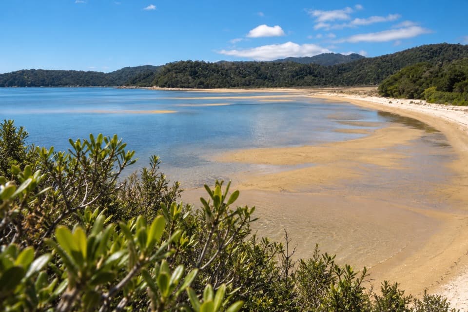 ModerateMārahau to Observation Beach18.3 km · 5.5 hr · 10.9 km awayA long Coast Track walk to a beach facing Adele Island.
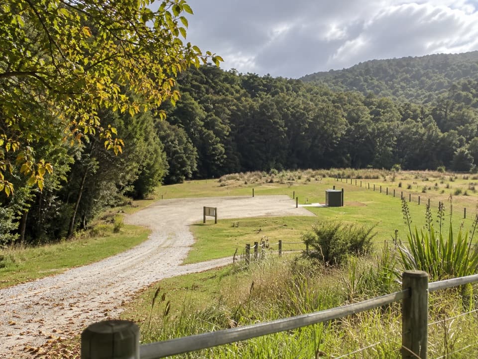 Campground · 0.8 km awayCanaan Downs CampsiteA quiet 10-site base for Canaan’s inland and mountain-bike tracks.
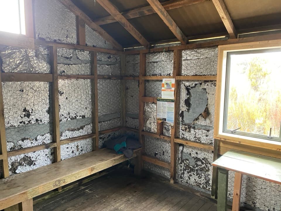 Sight · 3.1 km awayMoa Park ShelterA bunkless shelter among tussock, with a granite lookout nearby.
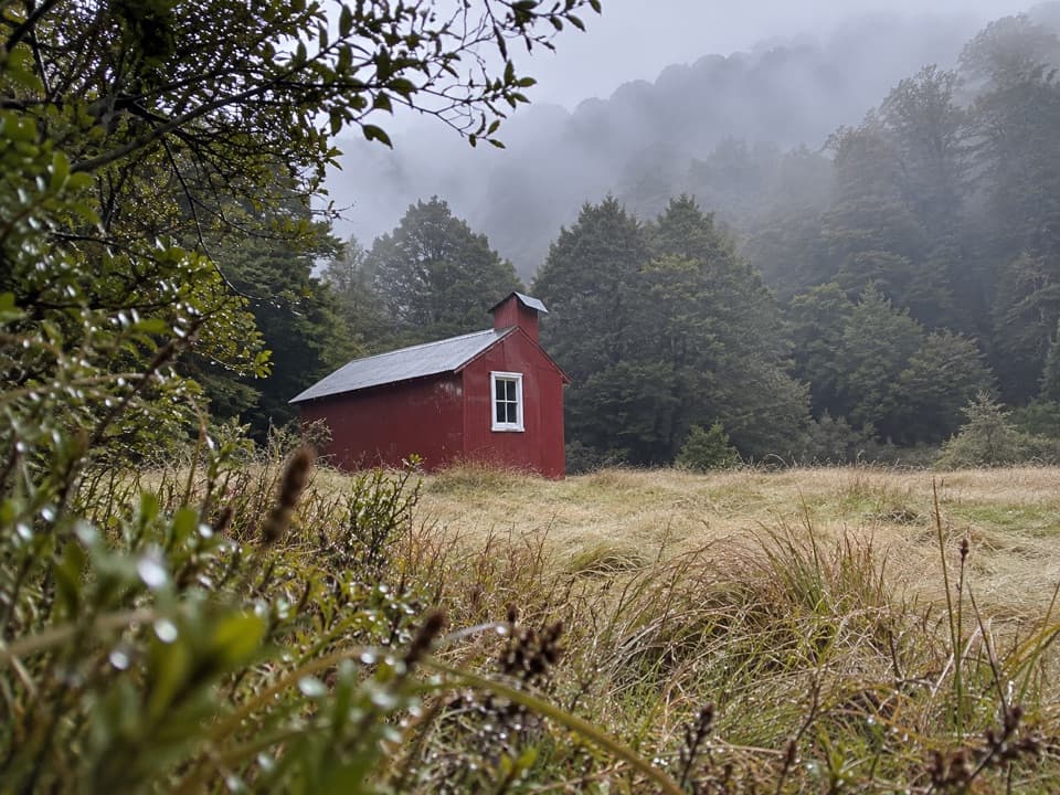 Lodging · 3.2 km awayWainui HutA simple four-bunk overnight in the Wainui Valley.
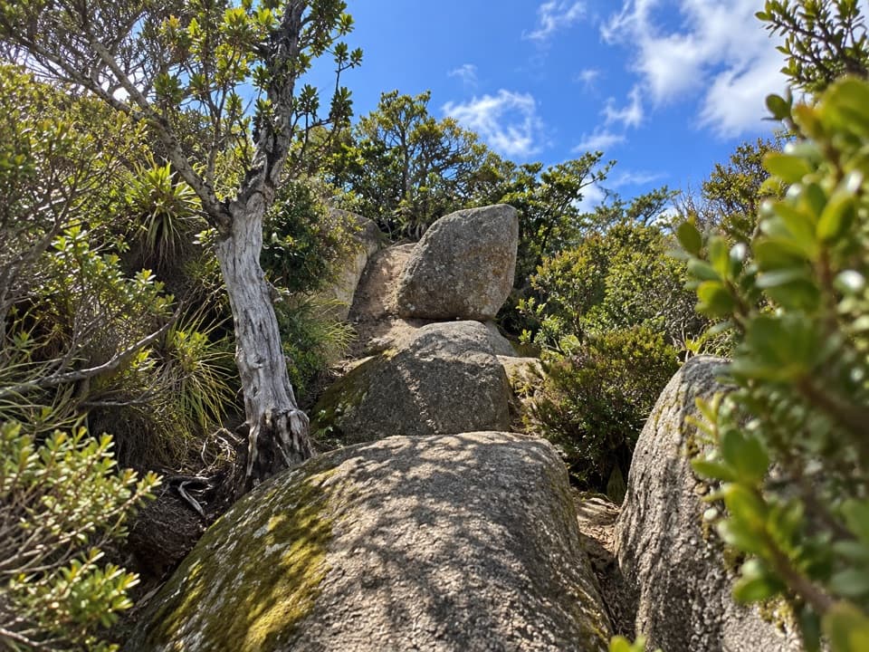 Sight · 4 km awayPorter RockAn inland granite scramble that opens to a 360° coastal panorama.
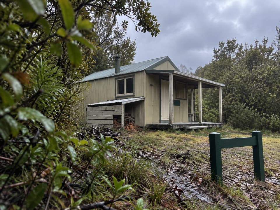 Lodging · 5.3 km awayCastle Rock HutA remote eight-bunk stop above Marahau, with the bay in view.
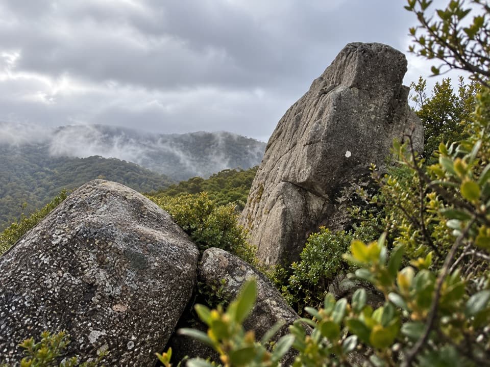 Sight · 5.3 km awayCastle RocksGranite outcrops above Mārahau Valley, with Tasman Bay beyond.
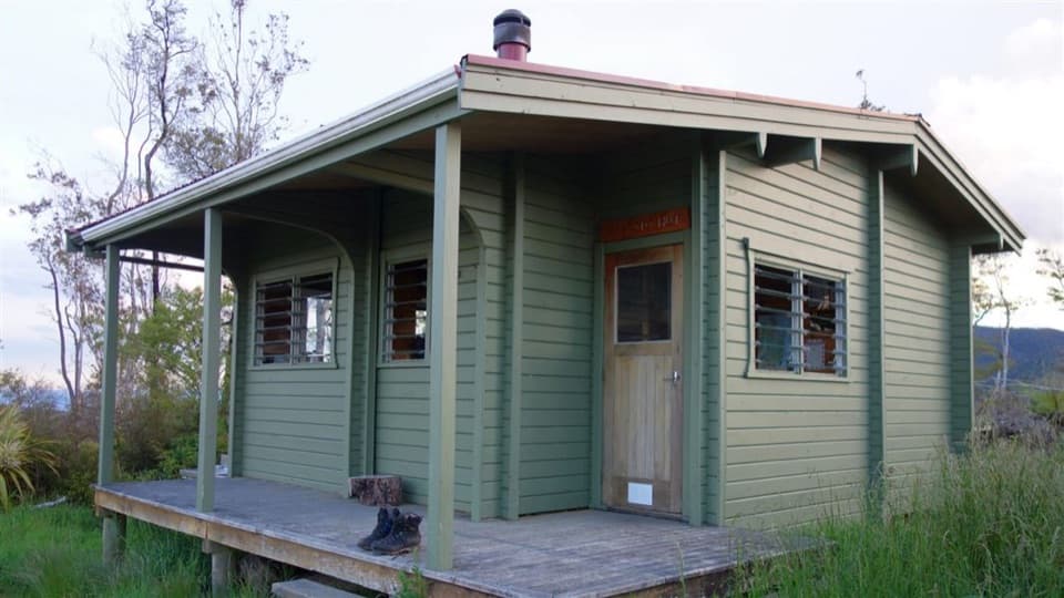 Lodging · 9 km awayAwapoto HutA 12-bunk backcountry stop with an estuary view from the deck.
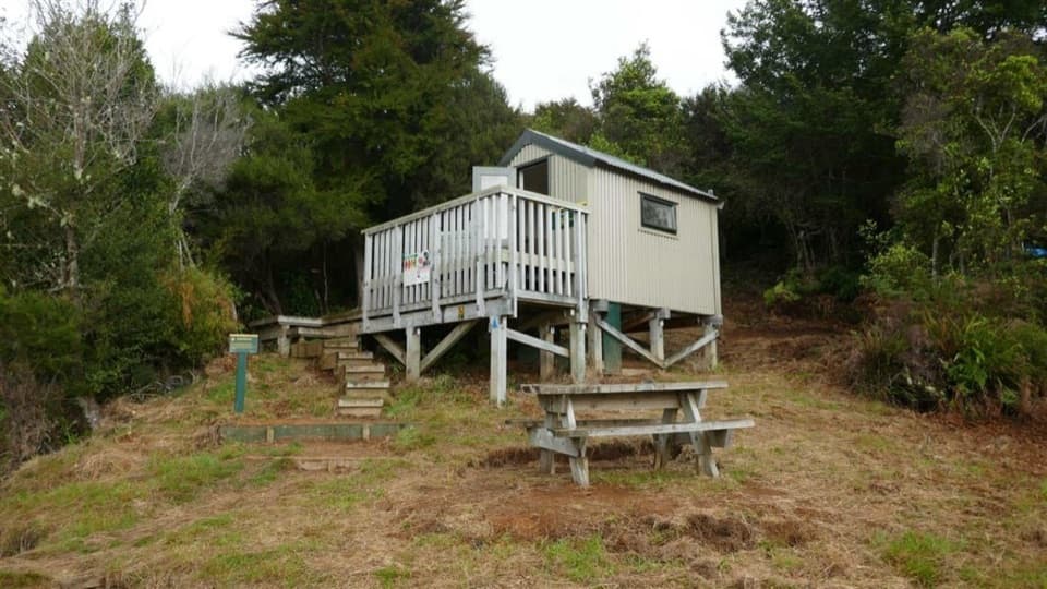 Lodging · 9 km awayHolyoakes ShelterA simple free hut for the Inland Track's overnight tramp.
Parkwolf’s Abel Tasman ranking

The audio tour guide for the drive, plus offline maps, trails, and wildlife heatmaps for when the signal drops.




