Parking
Park at Canaan Downs car park, shared with the Harwoods Hole Track and campsite. The final approach is about 11 km on narrow, winding, unsealed Canaan Road; allow time to drive carefully.
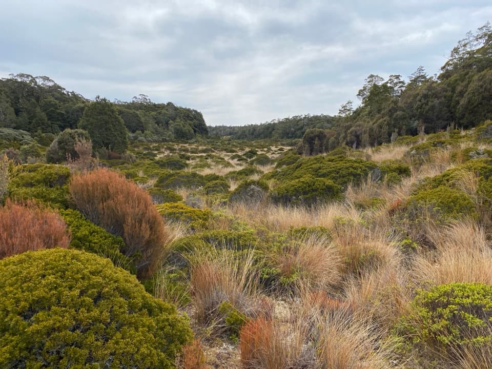
Abel Tasman National Park, TA
A long climb into a high basin of tussock, scrub and shelter.
Overview
Moa Park Track is a 10.4 km (6.5 mi) out-and-back from Canaan Downs to a remote tussock basin and Moa Park Shelter. The walk takes about 4–5 hours; its steady climb and rougher ridge footing put it at the stronger end of moderate. The basin, rather than a summit, is the payoff. The return follows the same track, so the way back is not a shorter or easier alternative.
 Parkwolf’s verdictIs this the hike for you?
Map & elevation
Plan your hike

The highest, rockiest slopes around here are a summer buffet for grizzly bears.
Abel Tasman Tour Guide
Parkwolf is a GPS audio tour guide for Abel Tasman National Park. As you drive, it chimes in with what’s ahead: hidden gems, upcoming stops, history, geology, and wildlife, right through your car’s speakers.
Recorded for this trailhead
Canaan Downs“Up ahead is Canaan Downs, a small tent campground in a clearing of meadow, scattered rocks and old beech forest. It's a simple base for inland walks and mountain biking, with ten unpowered sites that need booking.”
Plays as you drive up to this trailhead in the Parkwolf Abel Tasman Tour Guide.
More stories near here in the app
“Fantastic app with many points of information… It’s great to just turn on while you’re driving and it gives you an audio tour of the national Park. We love it!!!!”


Trail guide
The route starts on a farm track climbing along the forest edge above open farmland. Pages Saddle is about 1 km in; the Rameka Track forks left there, so keep on the Moa Park line. At roughly 3 km, Wainui Saddle is the next important junction. Wainui Track heads north from here; the Moa Park route continues into bush and climbs the west side of Evans Ridge. The saddle can be hard to pick out, so watch for the junction rather than expecting a broad, obvious pass.
Forest and open country alternate on the climb. Near the ridge top, dracophyllum scrub replaces much of the taller bush, and exposed roots make the footing rougher. The track dips through two creek gullies before meeting the Inland Track, then descends a short way to the basin. The endpoint is roughly 250 m higher than the car park, with smaller rises and dips along the way; this is a sustained, uneven walk rather than a smooth grade.
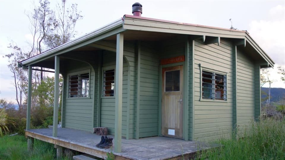
Moa Park is an open pocket of tussock and low scrub surrounded by forested ridges, an unexpected high-country scene in a park known for its coast. Moa Park Shelter stands beside Table Creek. It is a former hut with its bunks removed, so treat it as a sheltered lunch stop, not overnight accommodation. The stream is part of the scenery, but reliable drinking water is scarce on the approach; bring what you need rather than planning to refill.
A short side track from the Inland Track leads to Porter Rock, a granite outcrop with views over the surrounding country. It is a useful add-on if you have time and good footing left. For a photo of the basin, include some of the rounded tussock and scrub in the foreground and the forested ridge behind; a tight crop of shrubs loses the scale that makes Moa Park distinctive. The unmaintained route toward Mt Evans is a separate navigation-heavy outing, not part of this mapped walk.
Park at Canaan Downs car park, also used for the Harwoods Hole Track and campsite. The final approach is about 11 km on narrow, winding, unsealed Canaan Road, so allow time to drive it carefully. Carry all your water: DOC notes few reliable sources and Giardia risk in untreated park water. Wainui Saddle can be indistinct, occasional snow reaches Moa Park and upper Evans Ridge, and wasps are especially common from December to April. Dogs are not allowed on the Inland Track, which this walk joins.
Wildlife
 10 sightingsKeaMost seen around 10 AMSighting map
 54 sightingsNew Zealand Fur SealMost seen around 10 AMSighting map
 20 sightingsLittle PenguinMost seen around 9 PMSighting map
 21 sightingsSouth Island KākāMost seen around 5 PMSighting map
 526 sightingsWekaMost seen around 9 AMSighting map
 16 sightingsTūīMost seen around 7 AMSighting map
Sighting maps show where each species has been reported across Abel Tasman. Wildlife moves, so no sighting is guaranteed.
Keep exploring
ModeratePorter Rock via Moa Park Track12.4 km · 5.5 hr · At the trailheadA long climb leads through a tussock basin to a granite lookout.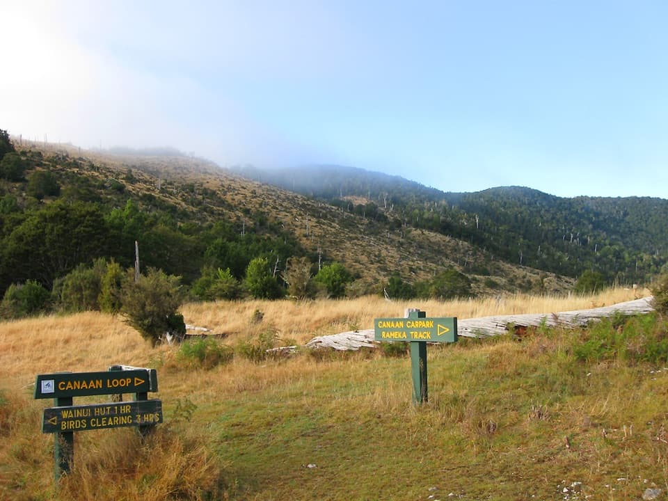 ModerateWainui Hut Track11.3 km · 3.3 hr · At the trailheadA grassy saddle, creekside forest, and a four-bunk backcountry hut.ModerateWainui Track12.4 km · 4.5 hr · At the trailheadInland crossing: hut, river fords, open ridge.ModerateCanaan Loop Track15.6 km · 6 hr · At the trailheadLog City, granite creek crossings, and a 930 m saddle.
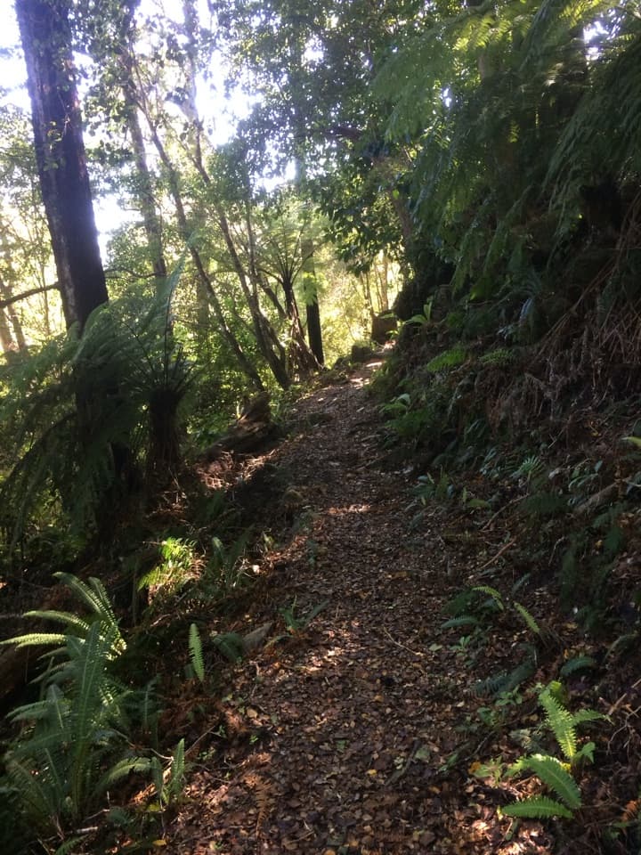 ModerateRameka Track14.2 km · 5.5 hr · 0.8 km awayA beech-forest descent with a long climb back to Pages Saddle.
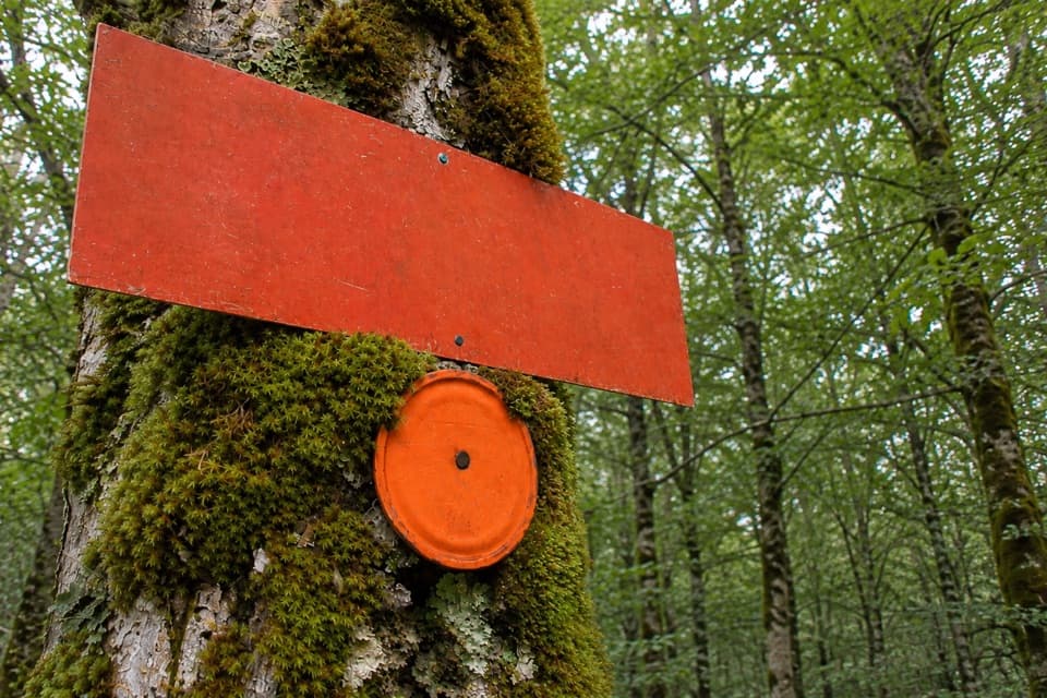 ModerateMt Evans Route5.5 km · 2.5 hr · 3.7 km awayA marked but unmaintained crossing over Abel Tasman's highest summit.
 ChallengingAbel Tasman Coast Track60 km · 20.1 hr · 11.2 km awayGolden beaches, forested headlands, and a tide crossing to plan around.
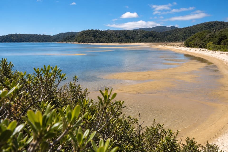 ModerateMārahau to Observation Beach18.3 km · 5.5 hr · 11.2 km awayA long Coast Track walk to a beach facing Adele Island.
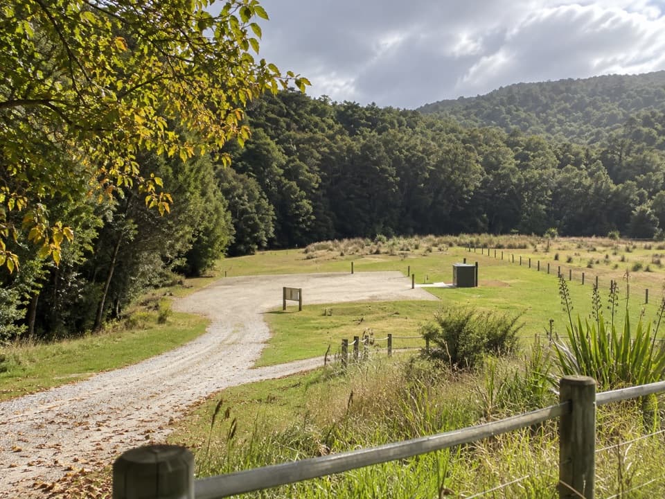 Campground · At the trailheadCanaan Downs CampsiteA quiet 10-site base for Canaan’s inland and mountain-bike tracks.
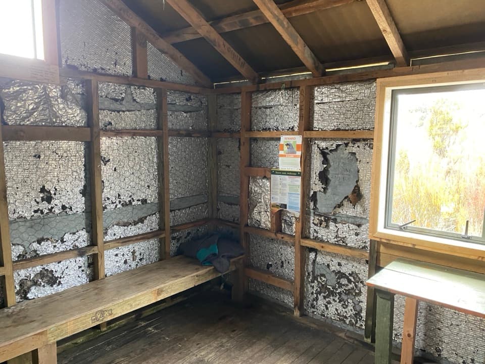 Sight · 3.8 km awayMoa Park ShelterA bunkless shelter among tussock, with a granite lookout nearby.
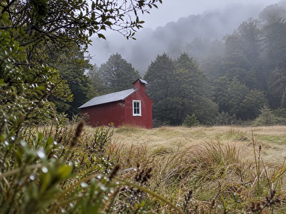 Lodging · 4 km awayWainui HutA simple four-bunk overnight in the Wainui Valley.
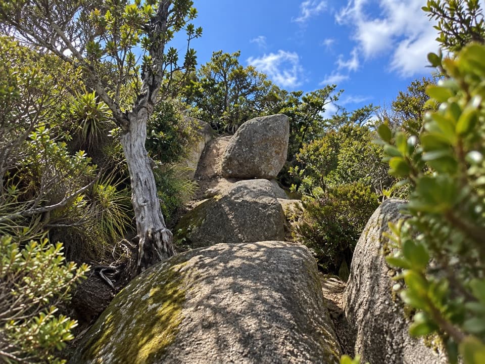 Sight · 4.6 km awayPorter RockAn inland granite scramble that opens to a 360° coastal panorama.
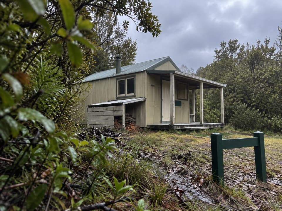 Lodging · 5.6 km awayCastle Rock HutA remote eight-bunk stop above Marahau, with the bay in view.
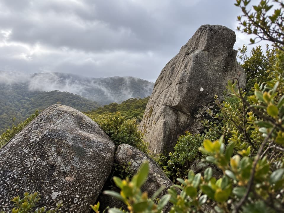 Sight · 5.6 km awayCastle RocksGranite outcrops above Mārahau Valley, with Tasman Bay beyond.
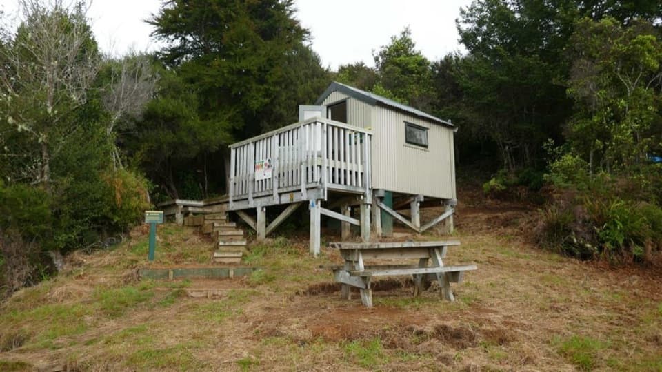 Lodging · 9.5 km awayHolyoakes ShelterA simple free hut for the Inland Track's overnight tramp.
 Lodging · 9.8 km awayAwapoto HutA 12-bunk backcountry stop with an estuary view from the deck.
Parkwolf’s Abel Tasman ranking
The audio tour guide for the drive, plus offline maps, trails, and wildlife heatmaps for when the signal drops.




