1 active Abel Tasman alert
- ClosureRoad resealing closures near Kaiteriteri, 29–30 OctoberExpect rolling closures on roads near Kaiteriteri from 6am to 8pm on Thursday 29 and Friday 30 October while crews reseal the roads.Official details
Sight · Abel Tasman National Park
Birdsong, seals and beaches make the boat trip worthwhile.
Overview
Map
Plan your stop

The highest, rockiest slopes around here are a summer buffet for grizzly bears.
Abel Tasman Tour Guide
Parkwolf is a GPS audio tour guide for Abel Tasman National Park. As you drive, it chimes in with what’s ahead: hidden gems, upcoming stops, history, geology, and wildlife, right through your car’s speakers.
More stories near here in the app
“Fantastic app with many points of information… It’s great to just turn on while you’re driving and it gives you an audio tour of the national Park. We love it!!!!”


Guide
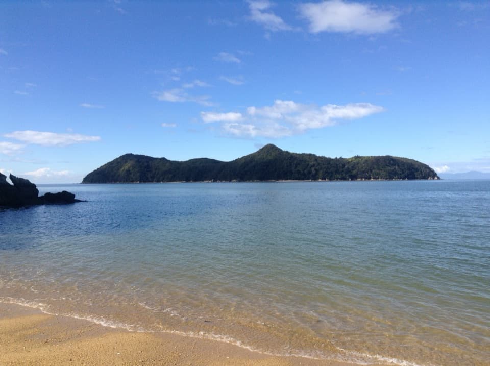
Motuareronui / Adele Island is an uninhabited, roughly 87-hectare island about 800 metres off the Abel Tasman coast. Its wooded ridge reaches 119 metres above sea level. I'd make time for it on a boat or kayak day if you want beaches and a chance to hear native birdsong in a place with a long restoration story.
Reach the island by boat or kayak; there is no road access. There are no toilets or camping, and the nearest toilets are at Appletree Bay. No food service or drinking water is listed on the island, so plan for a self-contained visit. Dogs are not allowed on the island or its foreshore.
Before landing or even mooring nearby, check your boat or kayak, bags and other gear for rats, mice, ants, seeds and weeds. Those checks help protect the island's recovering wildlife.
Rodents were removed from Adele and neighboring islands in 2007. Later trapping, with help from the Marahau community, removed stoats from Adele. The restoration brought 31 South Island robins, or toutouwai, in 2009 and 14 more in 2011; 28 saddlebacks, or tīeke, followed in 2014. The project reports successful establishment, with saddlebacks favoring the coastal forest fringe. Take a moment to listen as you walk.
The beaches are part of the appeal, and seals are sometimes reported around the island. Look along the water as well as the shore; sightings are a bonus, not a sure thing.
French navigator Jules Dumont d'Urville charted the island in 1827 and named it Adele for his wife, Adèle Pépin. His ship Astrolabe lent its name to the nearby roadstead. Accounts from that visit and later early surveyors also record Māori settlements on Adele and nearby Fisherman Island.
Motuareronui became part of the island's official dual name in 2014. A common gloss connects it with a “big tongue-shaped island,” but that interpretation is disputed, so the meaning is best left open.
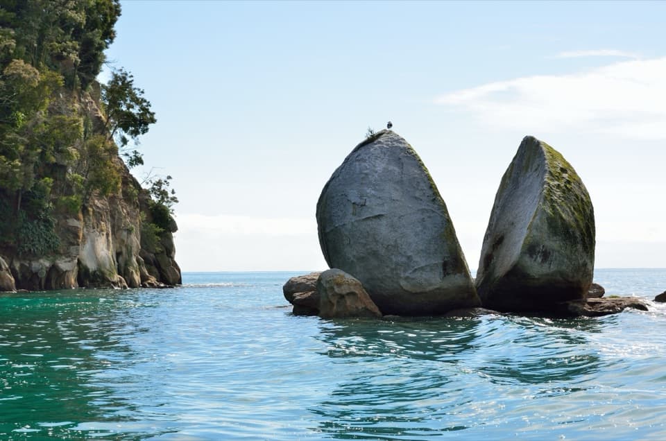
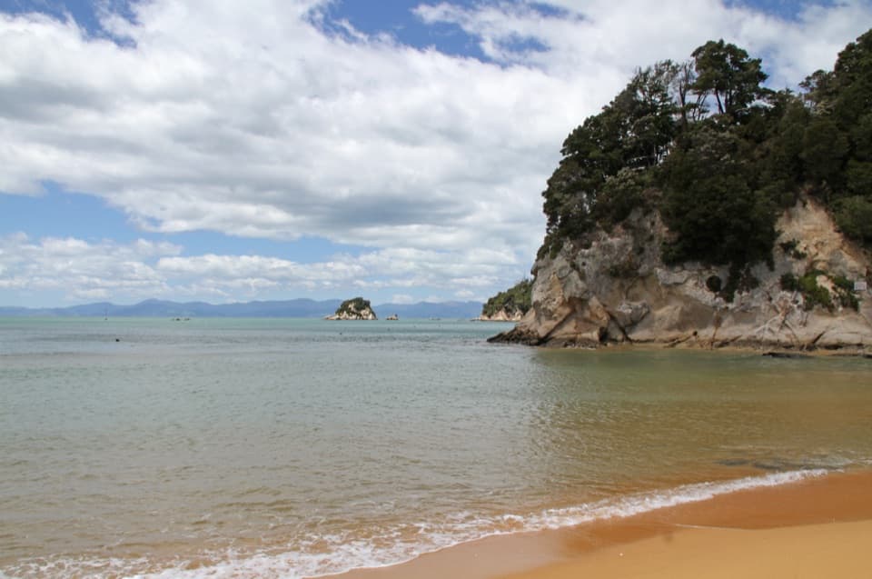
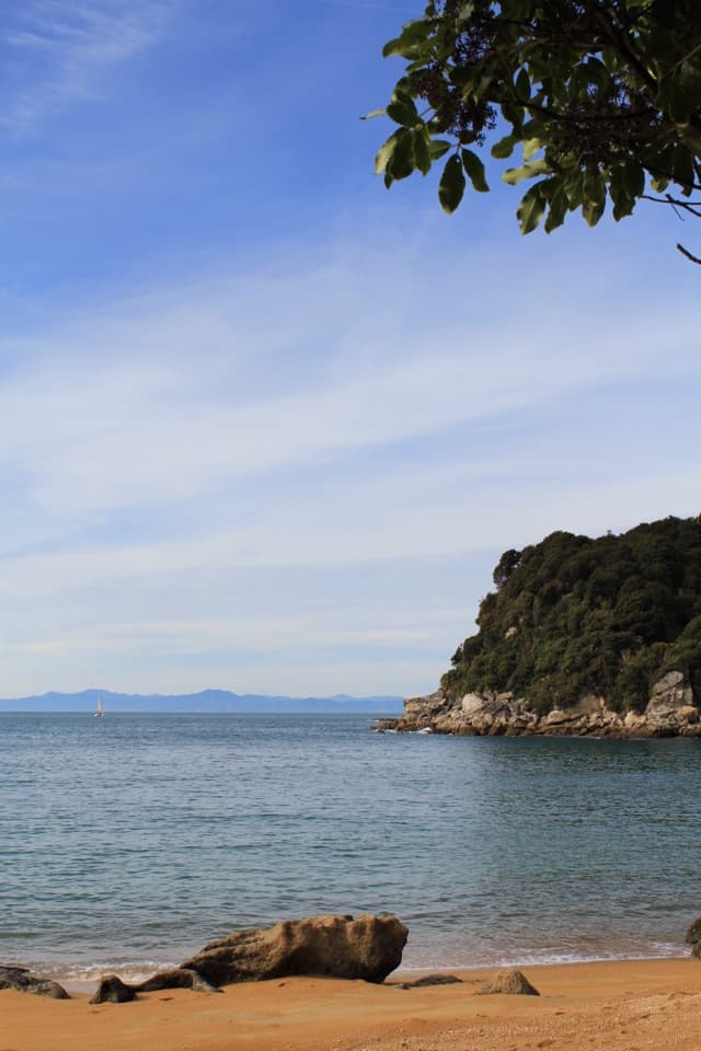
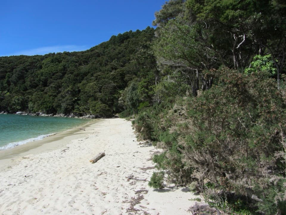
From the water, the island's long tree-covered outline and low peak make the clearest picture. A sandy shoreline in the foreground gives the island a sense of scale; the wooded slopes and sea are the subject, rather than a built viewpoint.
Wildlife
 10 sightingsKeaMost seen around 10 AMSighting map
 54 sightingsNew Zealand Fur SealMost seen around 10 AMSighting map
 20 sightingsLittle PenguinMost seen around 9 PMSighting map
 21 sightingsSouth Island KākāMost seen around 5 PMSighting map
 527 sightingsWekaMost seen around 9 AMSighting map
 16 sightingsTūīMost seen around 7 AMSighting map
Sighting maps show where each species has been reported across Abel Tasman. Wildlife moves, so no sighting is guaranteed.
Keep exploring
 ModeratePitt Head Loop Track3.2 km · 1.5 hr · 2.6 km awayA short headland loop with a crescent beach and open coastal views.
 ModerateAnchorage to Bark Bay11.5 km · 4 hr · 2.7 km awayCoastal ridgelines, a 47-metre bridge, and a low-tide shortcut.
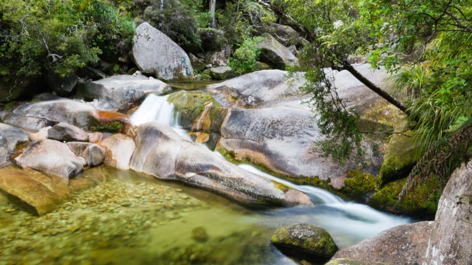 EasyCleopatra's Pool Track0.9 km · 24 min · 3.1 km awayA moss-lined natural slide waits beyond a short forest spur.
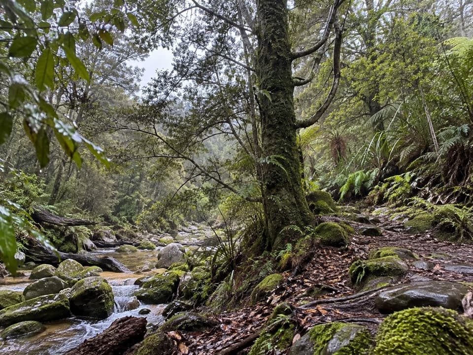 EasyTinline Bay Nature Walk1 km · 20 min · 3.2 km awayA short forest loop follows Tinline Creek to an unusual tree.
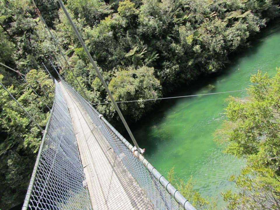 ModerateTorrent Bay to Bark Bay7.8 km · 2.5 hr · 3.9 km awayA ridge, a 47-metre swingbridge and a beach reshaped by tides.
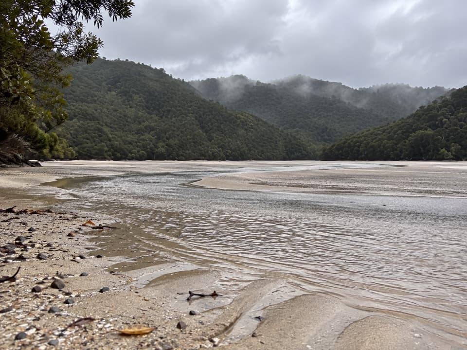 ModerateFalls River Track7 km · 3 hr · 4.1 km awayA steep climb to blue pools beyond the Cascade Falls spur.
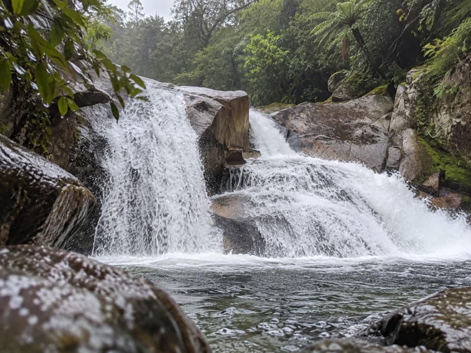 ModerateCascade Falls Track2.6 km · 1 hr · 4.1 km awayA steep forest spur to a waterfall hidden off the Coast Track.
 ChallengingAbel Tasman Coast Track60 km · 20.1 hr · 5 km awayGolden beaches, forested headlands, and a tide crossing to plan around.
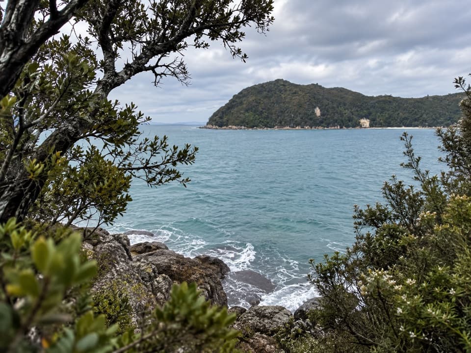 Sight · 1.3 km awayYellow Point LookoutA rocky pause above the coast, reached on the Coast Track.
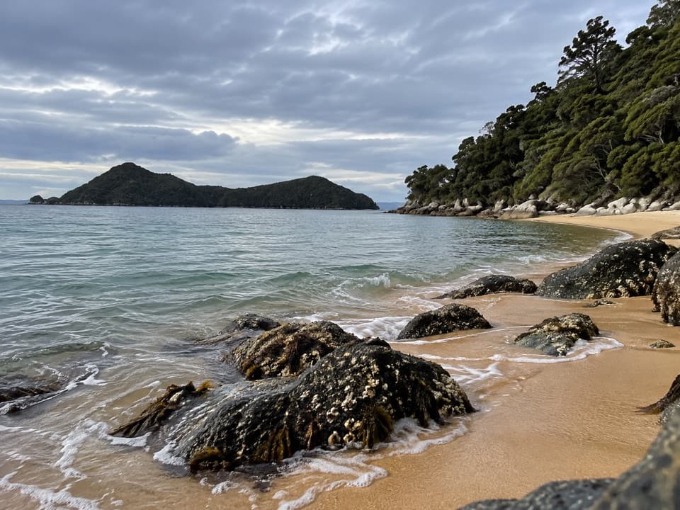 Campground · 1.5 km awayAkersten BayThree quiet tent sites sit above a sheltered beach with island views.
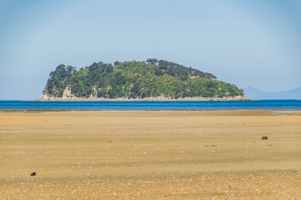 Sight · 1.6 km awayFisherman IslandA small island stop with a pest check before landing.
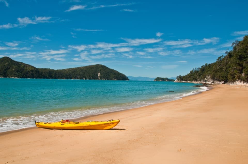 Beach · 1.7 km awayCyathea CoveA sandy pause with islands spread across Astrolabe Roadstead
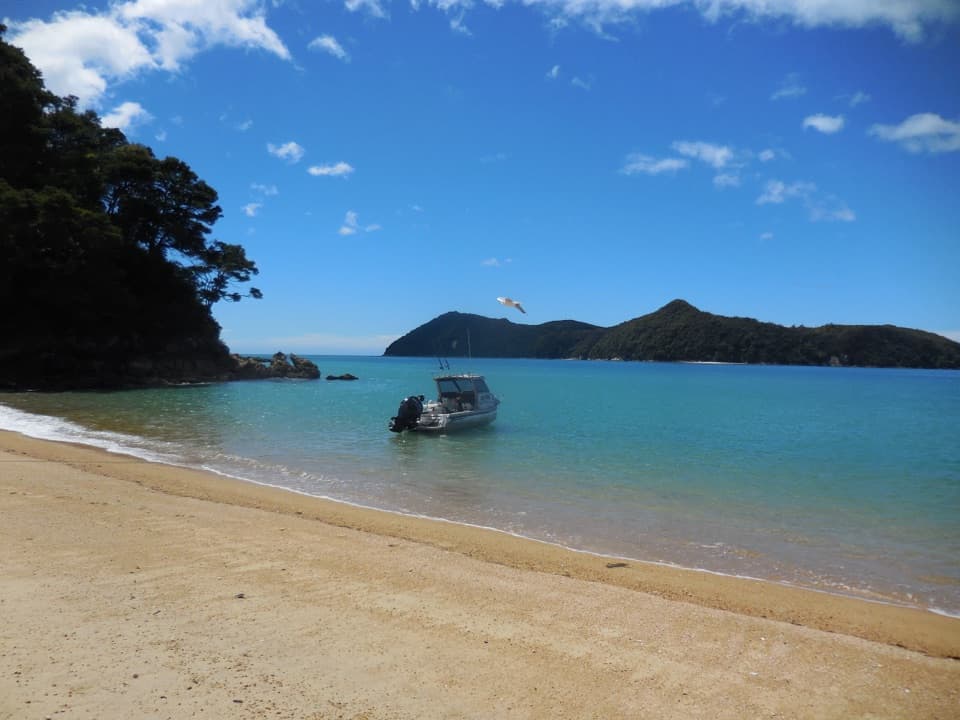 Beach · 1.8 km awayStilwell BayA beach break on the Coast Track with Adele Island ahead.
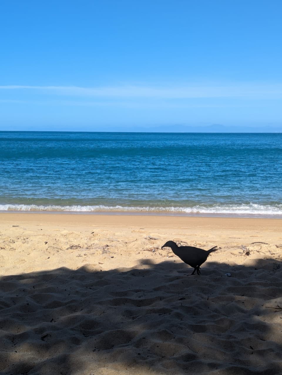 Beach · 1.9 km awayObservation BeachSix tent sites beside a sandy cove on the Coast Track.
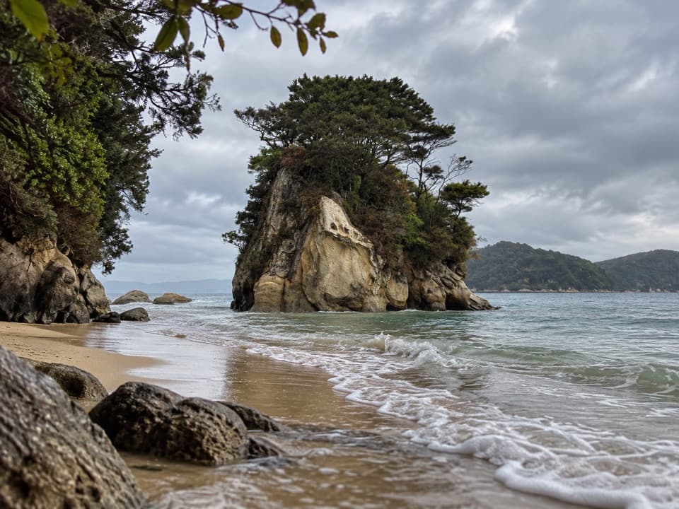 Campground · 1.9 km awayWatering Cove CampsiteCamp beside the beach where D’Urville’s crew collected fresh water
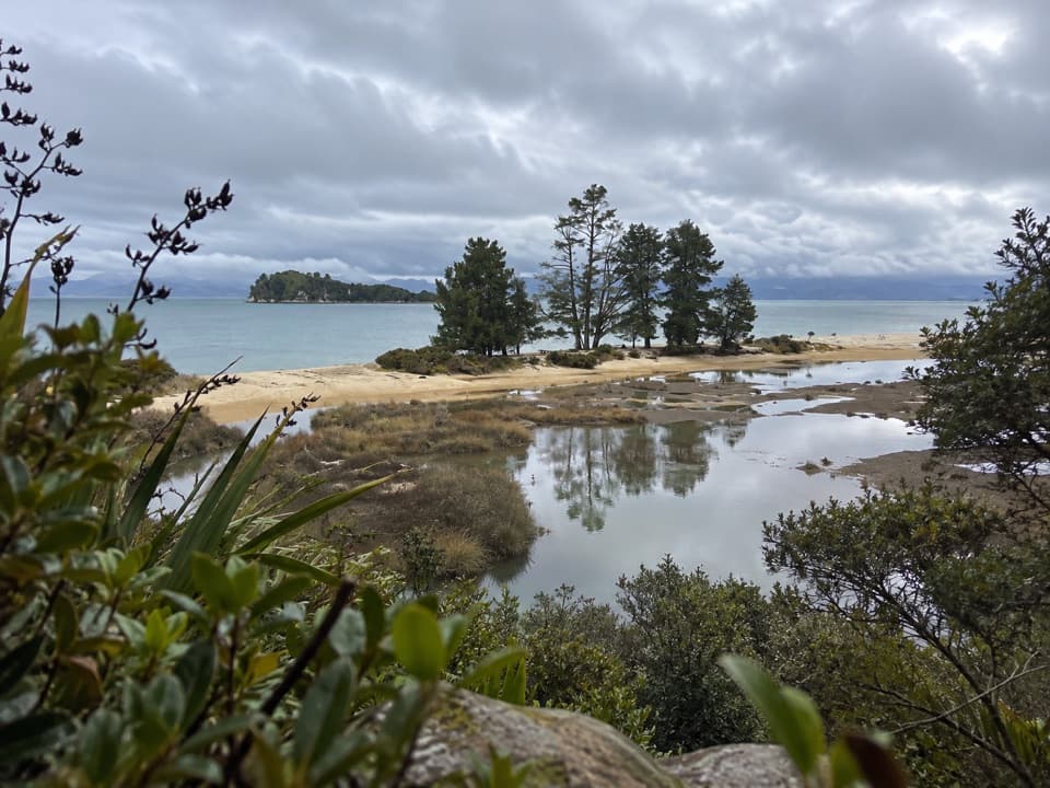 Campground · 2 km awayApple Tree BayA beachside camp where the Coast Track meets a tidal estuary.
Parkwolf’s Abel Tasman ranking

The audio tour guide for the drive, plus offline maps, trails, and wildlife heatmaps for when the signal drops.