1 active Abel Tasman alert
- ClosureRoad resealing closures near Kaiteriteri, 29–30 OctoberExpect rolling closures on roads near Kaiteriteri from 6am to 8pm on Thursday 29 and Friday 30 October while crews reseal the roads.Official details
Beach · Abel Tasman National Park
Six tent sites beside a sandy cove on the Coast Track.
Overview
Map
Plan your stop

The highest, rockiest slopes around here are a summer buffet for grizzly bears.
Abel Tasman Tour Guide
Parkwolf is a GPS audio tour guide for Abel Tasman National Park. As you drive, it chimes in with what’s ahead: hidden gems, upcoming stops, history, geology, and wildlife, right through your car’s speakers.
More stories near here in the app
“Fantastic app with many points of information… It’s great to just turn on while you’re driving and it gives you an audio tour of the national Park. We love it!!!!”


Guide
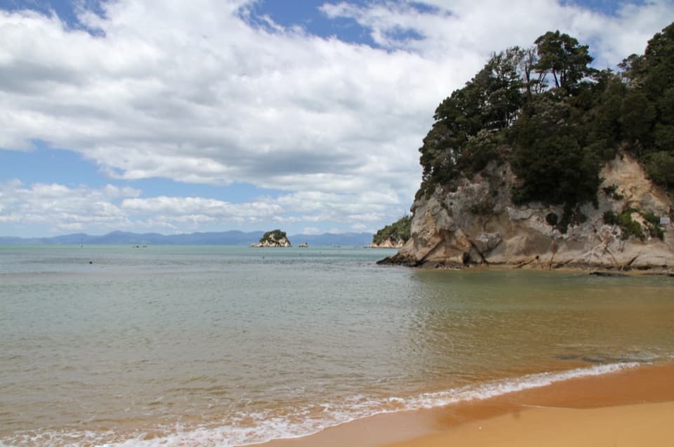
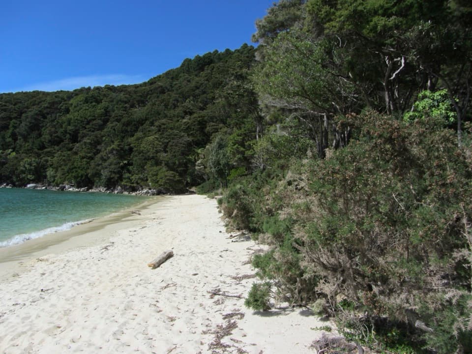
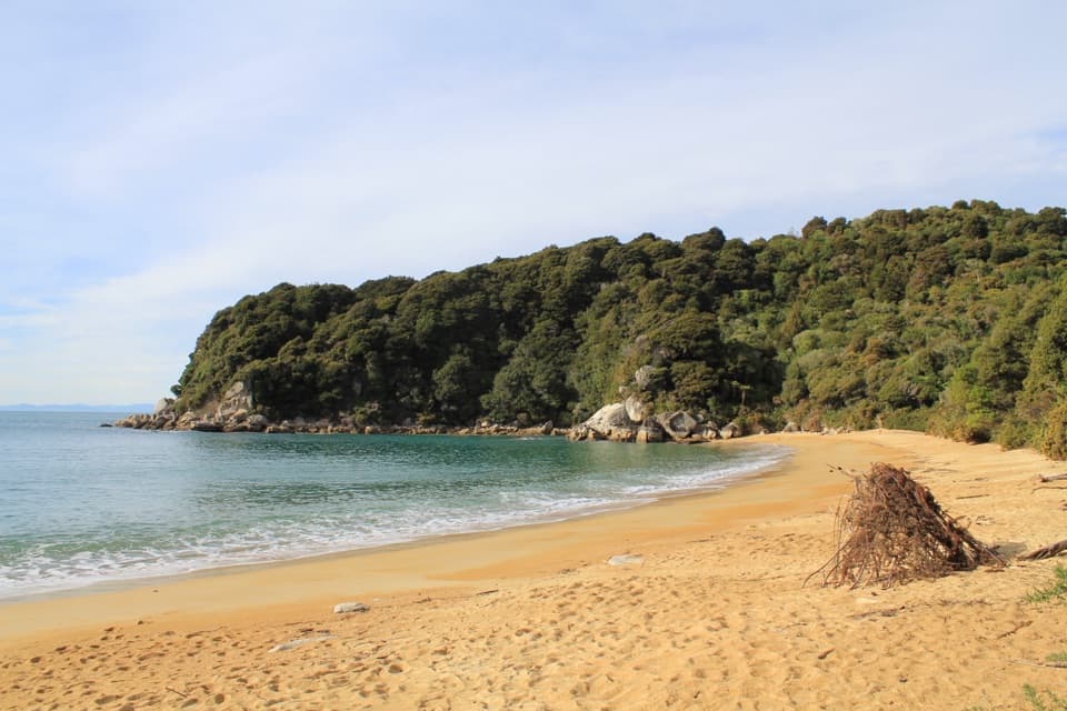
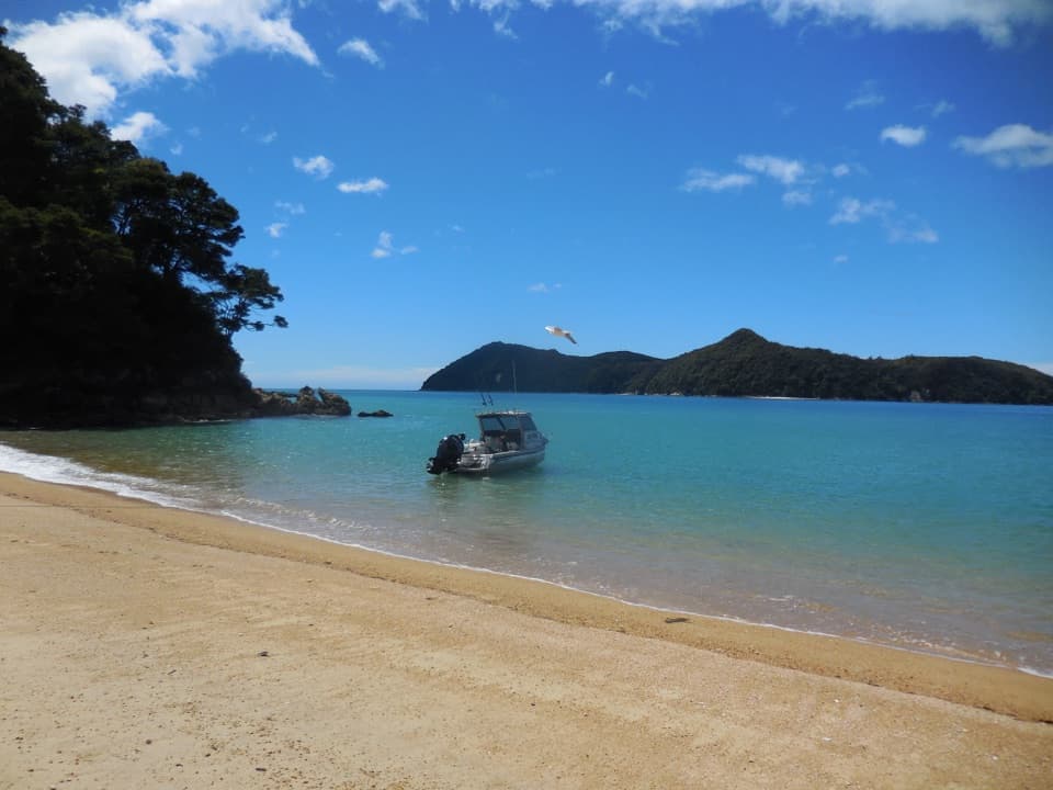
Observation Beach is a small sandy cove on the Abel Tasman coast between Tinline and Anchorage. It looks across Astrolabe Roadstead toward Adele Island. Come for a sandy pause, a swim when conditions suit, or a night at the six-site tent campground. It is a remote coast stop, best as part of a walk or a trip by kayak or water taxi.
The Coast Track passes the campsite, which is listed among the overnight stops on the Mārahau–Anchorage section. Kayaks and water taxis are another way along this coast. This is not a road-side beach; check the route map for the exact shore access.
The campground has six non-powered tent sites, and you need to book ahead. Dogs are not allowed, and the DOC Campsite Pass is not valid here. There is a pit toilet, but the water is untreated, so bring a way to treat it. Carry your meals and snacks too; there is nowhere to buy food along the track.
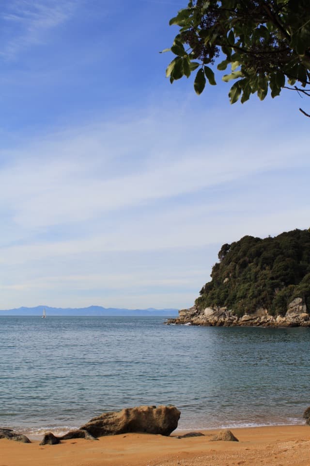
Golden sand, clear water and the view across the roadstead are the draw. Adele Island and the other islands give the cove some shelter from ocean currents and a seaward backdrop. For a photo, keep a strip of sand in the foreground and Adele Island beyond the water; that shows the cove’s setting better than a tight crop of the sea.
French explorer Jules Dumont d’Urville named Observation Beach during the Astrolabe’s 1827 exploration of the area. An observatory was set up here, though what it observed is not specified. The same expedition named Astrolabe Roadstead for its ship and Adele Island for d’Urville’s wife. On a return from Apple Tree Bay, d’Urville had to scramble over rocks as the tide covered them—a reminder that the coast’s route changes with the water.
Wildlife
 10 sightingsKeaMost seen around 10 AMSighting map
 54 sightingsNew Zealand Fur SealMost seen around 10 AMSighting map
 20 sightingsLittle PenguinMost seen around 9 PMSighting map
 21 sightingsSouth Island KākāMost seen around 5 PMSighting map
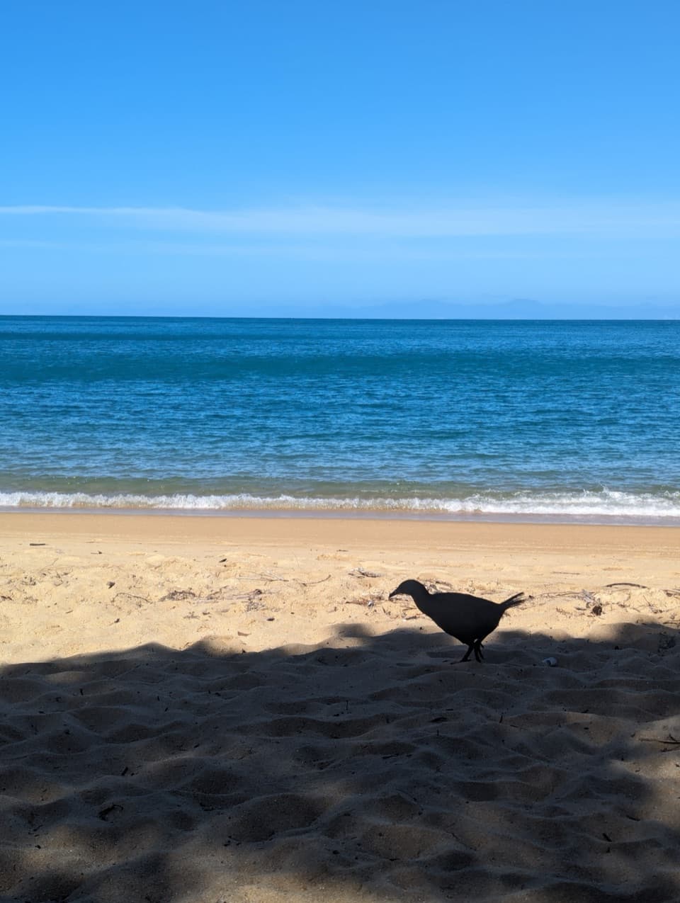
 527 sightingsWekaMost seen around 9 AMSighting map
 16 sightingsTūīMost seen around 7 AMSighting map
Sighting maps show where each species has been reported across Abel Tasman. Wildlife moves, so no sighting is guaranteed.
Keep exploring
 ModerateAnchorage to Bark Bay11.5 km · 4 hr · 1 km awayCoastal ridgelines, a 47-metre bridge, and a low-tide shortcut.
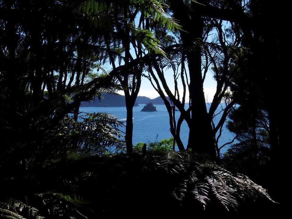 ModeratePitt Head Loop Track3.2 km · 1.5 hr · 1.2 km awayA short headland loop with a crescent beach and open coastal views.
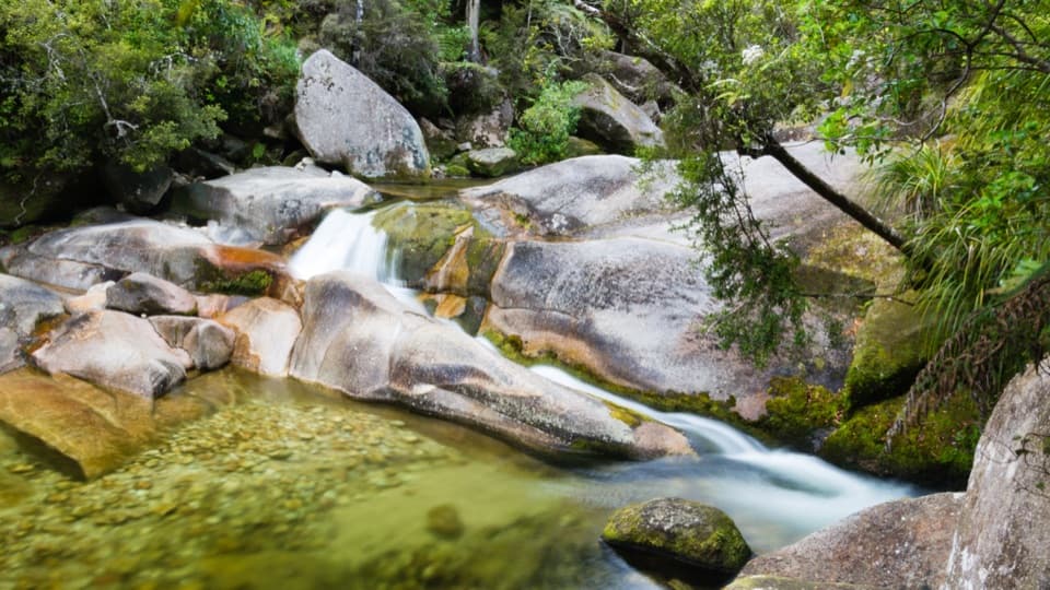 EasyCleopatra's Pool Track0.9 km · 24 min · 1.3 km awayA moss-lined natural slide waits beyond a short forest spur.
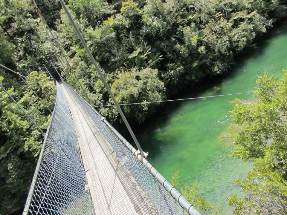 ModerateTorrent Bay to Bark Bay7.8 km · 2.5 hr · 2 km awayA ridge, a 47-metre swingbridge and a beach reshaped by tides.
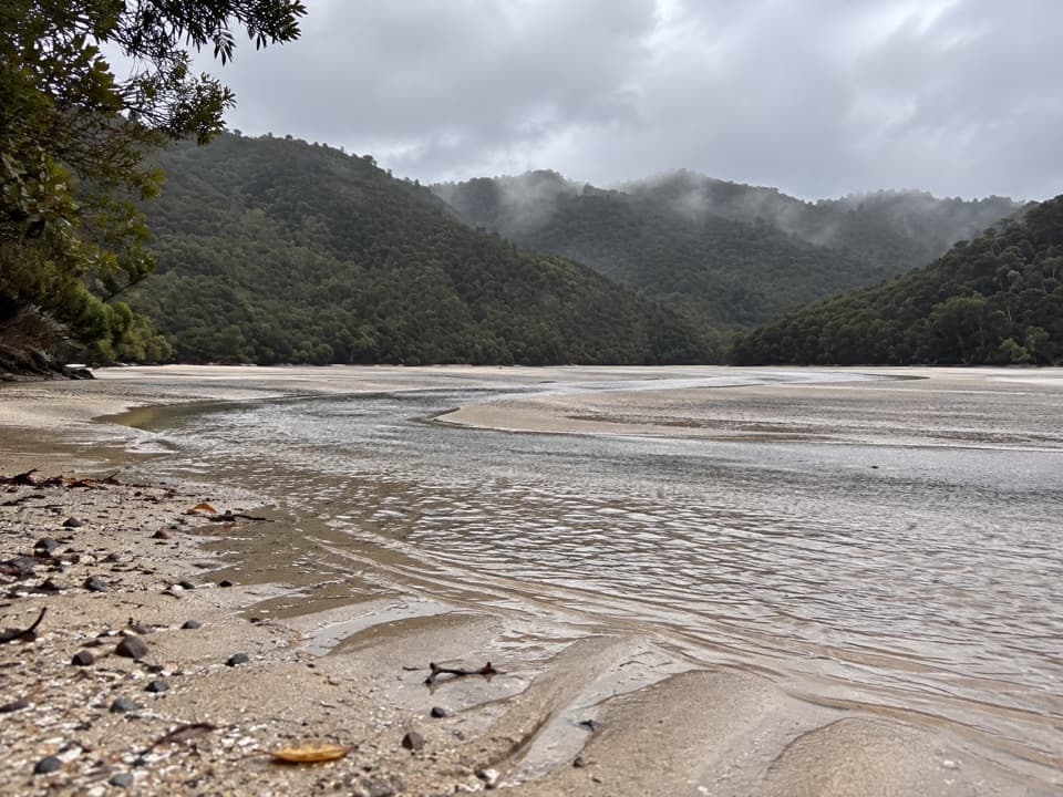 ModerateFalls River Track7 km · 3 hr · 2.3 km awayA steep climb to blue pools beyond the Cascade Falls spur.
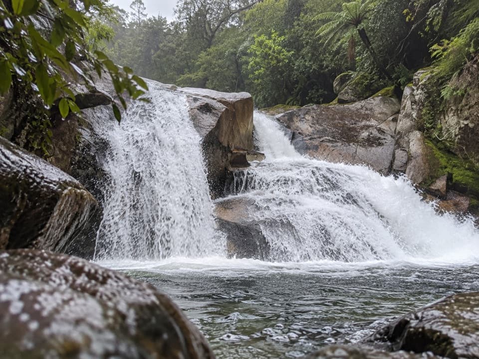 ModerateCascade Falls Track2.6 km · 1 hr · 2.3 km awayA steep forest spur to a waterfall hidden off the Coast Track.
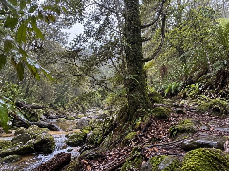 EasyTinline Bay Nature Walk1 km · 20 min · 3.4 km awayA short forest loop follows Tinline Creek to an unusual tree.
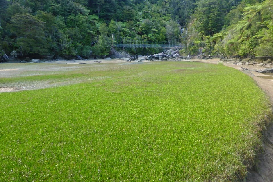 EasyBark Bay Waterfall Trail4 km · 1 hr · 5 km awayA short forest walk to a waterfall and a suspension bridge.
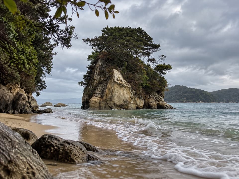 Campground · 0.4 km awayWatering Cove CampsiteCamp beside the beach where D’Urville’s crew collected fresh water
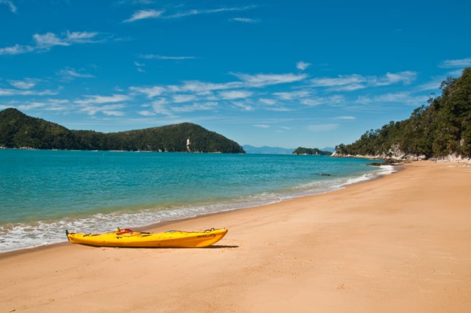 Beach · 0.5 km awayCyathea CoveA sandy pause with islands spread across Astrolabe Roadstead
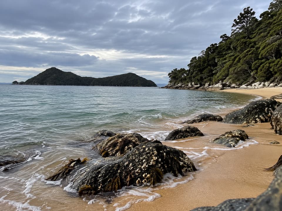 Campground · 0.8 km awayAkersten BayThree quiet tent sites sit above a sheltered beach with island views.
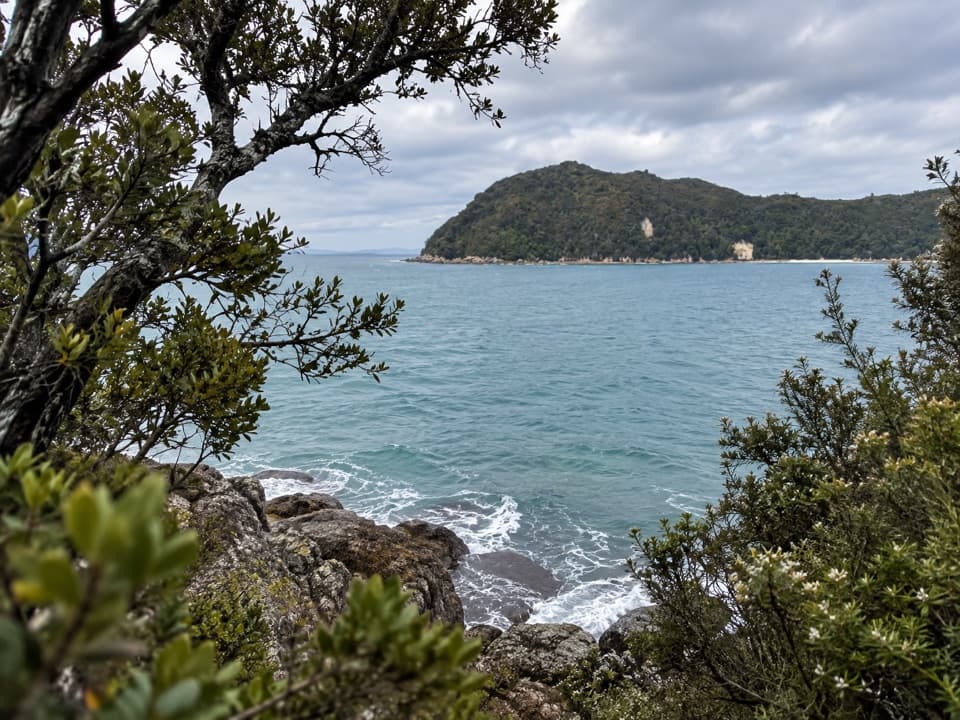 Sight · 1 km awayYellow Point LookoutA rocky pause above the coast, reached on the Coast Track.
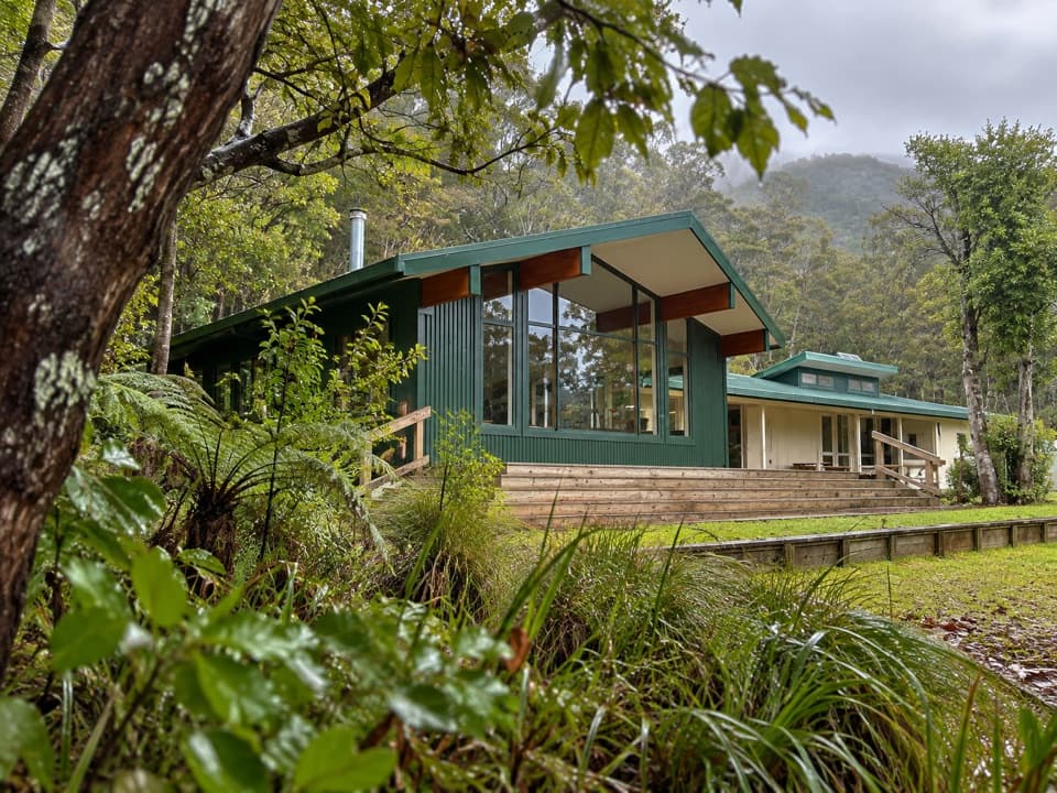 Lodging · 1.1 km awayAnchorage HutA 34-bunk beachside stop with a one-hour Pitt Head loop.
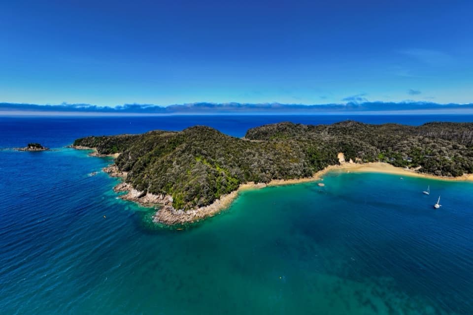 Campground · 1.1 km awayAnchorageA sheltered beach with campsites, boats and glowworm grottos.
 Beach · 1.2 km awayStilwell BayA beach break on the Coast Track with Adele Island ahead.Sight · 1.6 km awayCleopatra’s PoolA moss-lined rock slide makes this a memorable Coast Track swim stop.
Parkwolf’s Abel Tasman ranking

The audio tour guide for the drive, plus offline maps, trails, and wildlife heatmaps for when the signal drops.