Parking
There is no road access to either end. Reach Torrent Bay by water-taxi drop-off (it is not a pickup stop), then walk a few minutes to the village access. Bark Bay is a scheduled water-taxi stop; arrange your onward ride in advance.
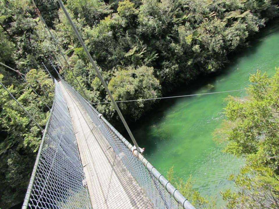
Abel Tasman National Park, TA
A ridge, a 47-metre swingbridge and a beach reshaped by tides.
Overview
Map & elevation
Plan your hike

The highest, rockiest slopes around here are a summer buffet for grizzly bears.
Abel Tasman Tour Guide
Parkwolf is a GPS audio tour guide for Abel Tasman National Park. As you drive, it chimes in with what’s ahead: hidden gems, upcoming stops, history, geology, and wildlife, right through your car’s speakers.
More stories near here in the app
“Fantastic app with many points of information… It’s great to just turn on while you’re driving and it gives you an audio tour of the national Park. We love it!!!!”


Trail guide
Torrent Bay to Bark Bay is a 7.8 km point-to-point walk on the Abel Tasman Coast Track, taking about 2–3 hours. It starts at Torrent Bay Village and finishes by the golden sand of Bark Bay. A short climb, a ridgeline, coastal forest and the Falls River bridge make this a varied half-day section. The longer 8.4 km and 11.5 km distances you may see for Anchorage to Bark Bay start farther south and describe different route options.
From Torrent Bay, the path climbs briefly and follows an inland ridgeline, with views down over Frenchmans Bay and neighboring coves. It then drops through native coastal bush to Falls River. The track is marked, but expect a few steep, rough or muddy stretches; this is an intermediate tramping track rather than a flat beach stroll.
The route crosses the river inlet on a 47 m suspension bridge, then winds through forest before reaching Bark Bay. The bridge is the walk’s standout landmark: pause to look along the water, where bush grows close to the banks. If you want the beach as well, a short side track after the bridge leads down to Sandfly Bay; getting onto the sand involves rock-hopping, and Falls River’s mouth shifts along the beach with tides and storms. That spur is optional and is not included in the 7.8 km.
Bark Bay opens onto a sandy cove with a campsite and hut for people continuing the Coast Track. Both ends of this walk are roadless. Torrent Bay is a water-taxi drop-off, not a pickup stop; the village access is a short walk from the landing. Bark Bay is a scheduled water-taxi stop, so arrange your onward ride before setting out. If you walk in from Anchorage, the Torrent Bay estuary crossing is tidal; use the low-tide crossing window or the longer all-tide route. That approach is outside this section’s stored route. Dogs are not allowed on the track.
Introduced predators devastated the park’s kākā population. DOC and Project Janszoon released kākā back along the Abel Tasman coast in 2019, part of the restoration story behind these regenerating coastal forests.
Wildlife
 10 sightingsKeaMost seen around 10 AMSighting map
 54 sightingsNew Zealand Fur SealMost seen around 10 AMSighting map
 20 sightingsLittle PenguinMost seen around 9 PMSighting map
 21 sightingsSouth Island KākāMost seen around 5 PMSighting map
 526 sightingsWekaMost seen around 9 AMSighting map
 16 sightingsTūīMost seen around 7 AMSighting map
Sighting maps show where each species has been reported across Abel Tasman. Wildlife moves, so no sighting is guaranteed.
Keep exploring
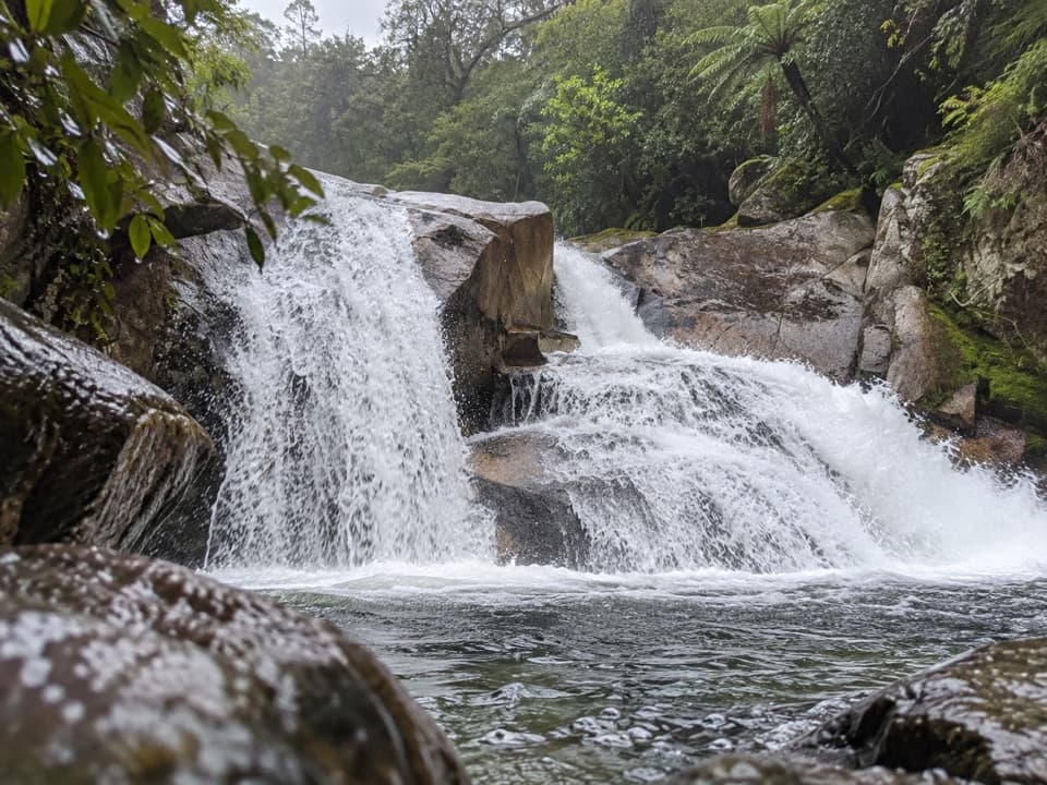 ModerateCascade Falls Track2.6 km · 1 hr · 0.3 km awayA steep forest spur to a waterfall hidden off the Coast Track.
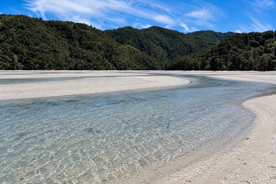 ModerateFalls River Track7 km · 3 hr · 0.4 km awayA steep climb to blue pools beyond the Cascade Falls spur.
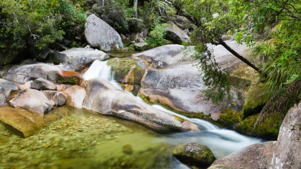 EasyCleopatra's Pool Track0.9 km · 24 min · 1.1 km awayA moss-lined natural slide waits beyond a short forest spur.
 ModerateAnchorage to Bark Bay11.5 km · 4 hr · 1.4 km awayCoastal ridgelines, a 47-metre bridge, and a low-tide shortcut.
 ModeratePitt Head Loop Track3.2 km · 1.5 hr · 1.6 km awayA short headland loop with a crescent beach and open coastal views.
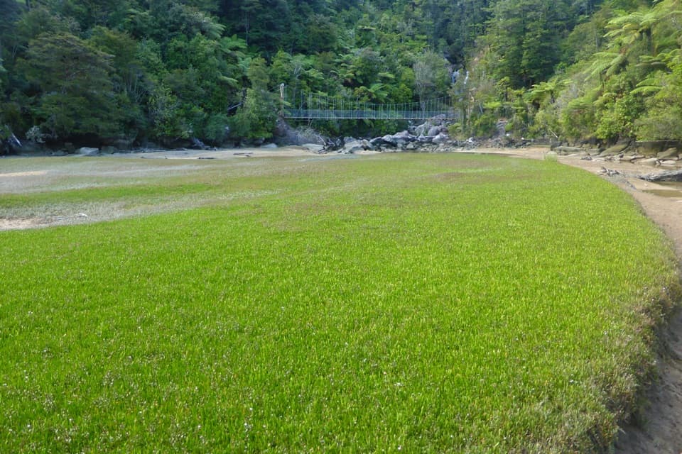 EasyBark Bay Waterfall Trail4 km · 1 hr · 3.1 km awayA short forest walk to a waterfall and a suspension bridge.
 ModerateBark Bay to Awaroa13.5 km · 4.5 hr · 3.5 km awayA coastal one-way Great Walk through quarry, beach and forest.ModerateBark Bay to Onetahuti6.1 km · 2 hr · 3.5 km awayA quarry relic, forested ridges, and a long crescent beach
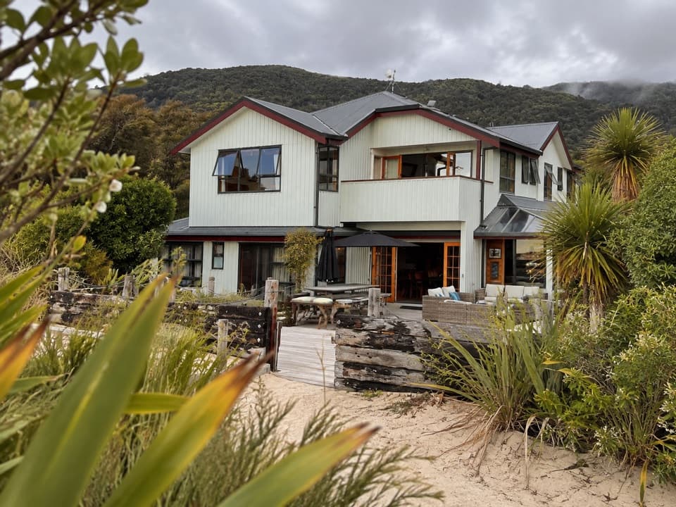 Lodging · 0.3 km awayTorrent Bay LodgeA beachside stay on Wilsons’ walking, kayaking and cruise trips.
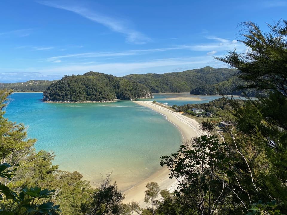 Beach · 0.3 km awayRākauroa / Torrent BayA tidal crossing beside a village on the Coast Track.Sight · 1.2 km awayCleopatra’s PoolA moss-lined rock slide makes this a memorable Coast Track swim stop.
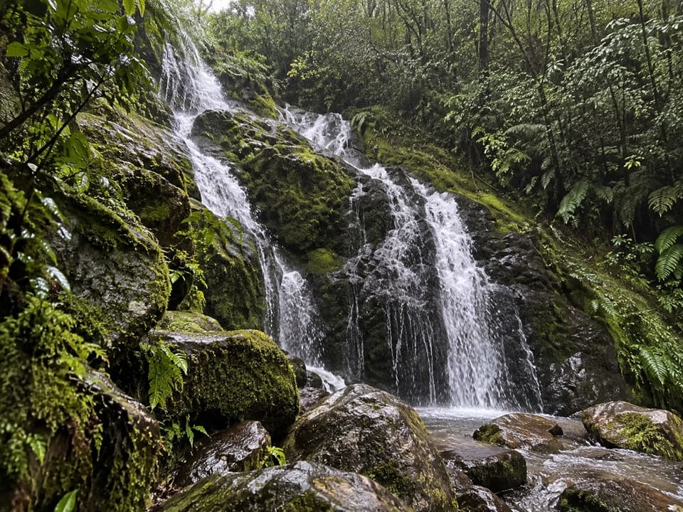 Sight · 1.3 km awayCascade FallsA steep detour reaches a multi-tier waterfall in native bush.
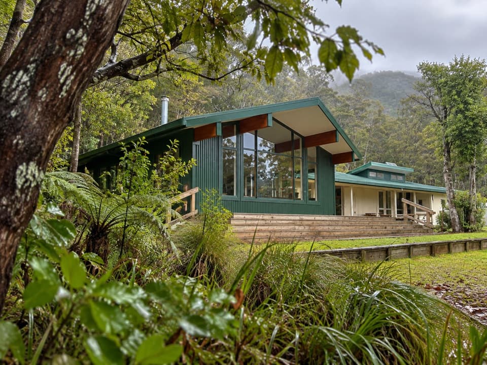 Lodging · 1.4 km awayAnchorage HutA 34-bunk beachside stop with a one-hour Pitt Head loop.
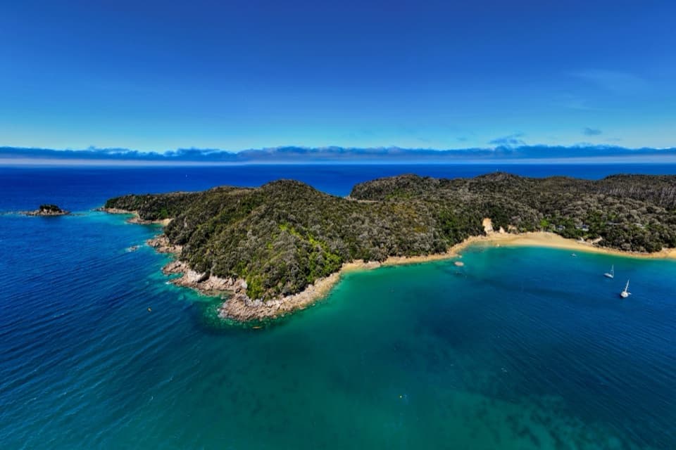 Campground · 1.5 km awayAnchorageA sheltered beach with campsites, boats and glowworm grottos.
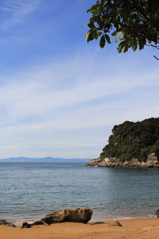 Beach · 1.6 km awayTe Pukatea BayA quiet cove with a small walk-in camp behind its crescent beach.
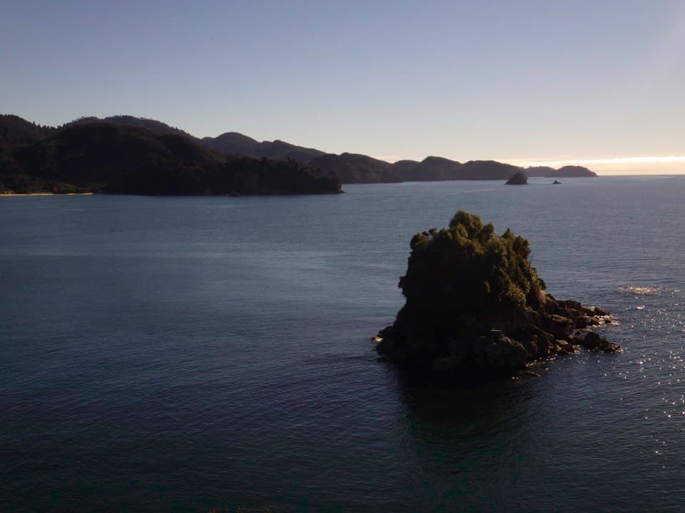 Sight · 1.7 km awayPitt Head LookoutA headland lookout above Torrent Bay, reached by a forested loop.
Parkwolf’s Abel Tasman ranking

The audio tour guide for the drive, plus offline maps, trails, and wildlife heatmaps for when the signal drops.


