Overview
About Cyathea Cove
Why stop
- Island-framed views across the roadstead
Map
Where it is

The highest, rockiest slopes around here are a summer buffet for grizzly bears.
Abel Tasman Tour Guide
Your drive to Cyathea Cove, narrated.
Parkwolf is a GPS audio tour guide for Abel Tasman National Park. As you drive, it chimes in with what’s ahead: hidden gems, upcoming stops, history, geology, and wildlife, right through your car’s speakers.
More stories near here in the app
- Mārahau and Te Waharoa
- Abel Tasman Centre
- A Fern's Hidden Generation
- 23 audio storiesacross Abel Tasman’s roads, triggered by GPS as you drive
- Wildlife heatmapsfor Kea, New Zealand Fur Seal, Little Penguin, and 13 more
- Works offlinemaps, 43 trails, 65 places, and audio download before you lose signal
- CarPlay readysimple controls built for the drive
“Fantastic app with many points of information… It’s great to just turn on while you’re driving and it gives you an audio tour of the national Park. We love it!!!!”


Guide
More about Cyathea Cove
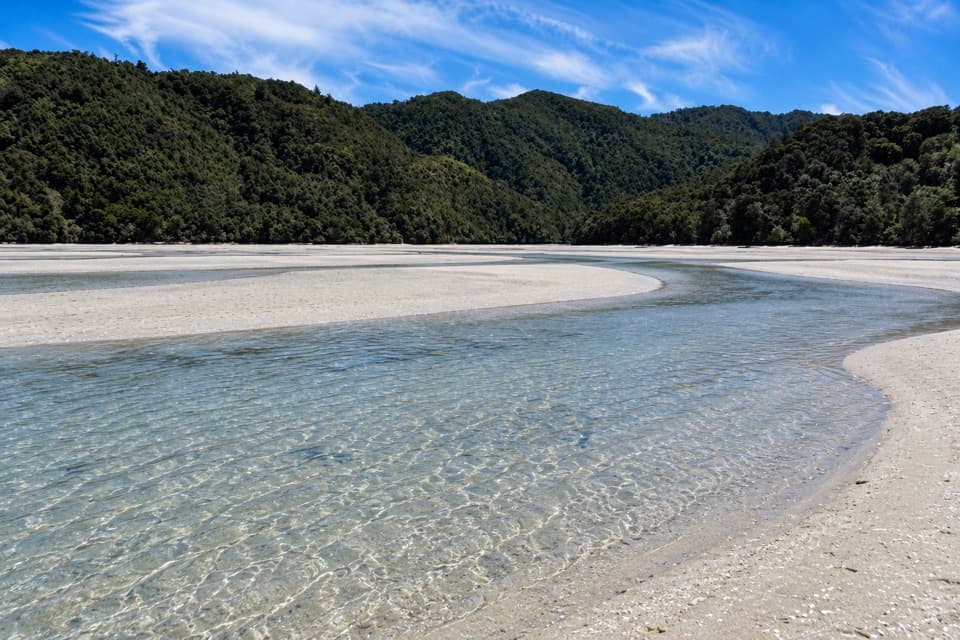
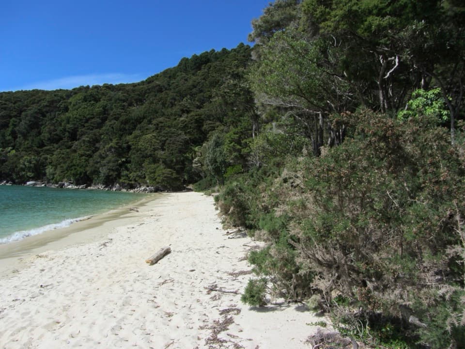
A beach stop on the Coast TrackCyathea Cove is a sandy bay on the southern Abel Tasman Coast Track.
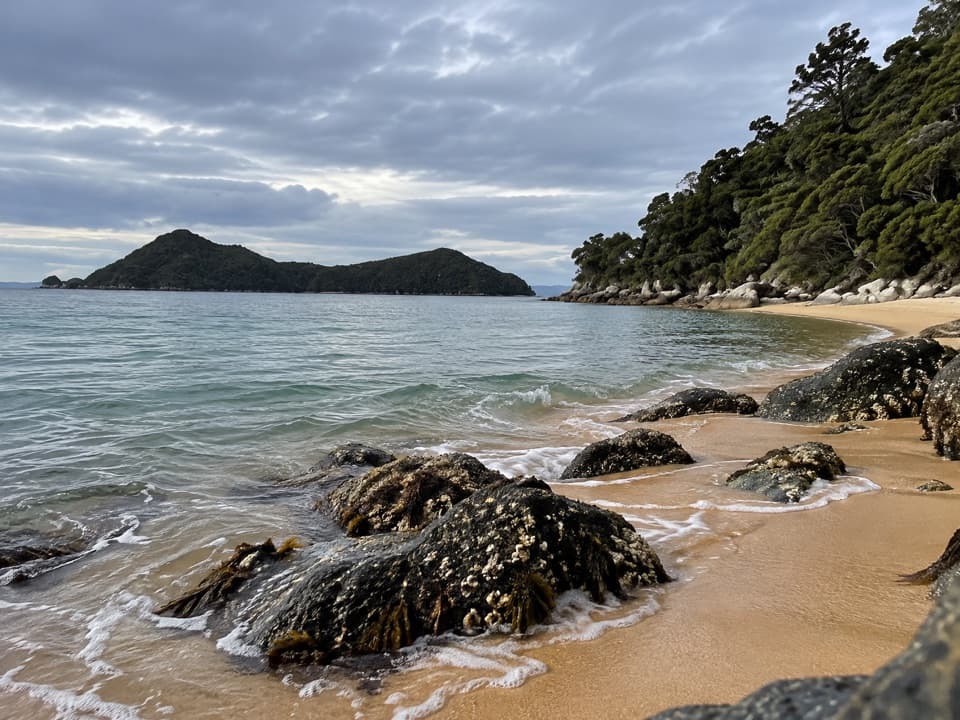
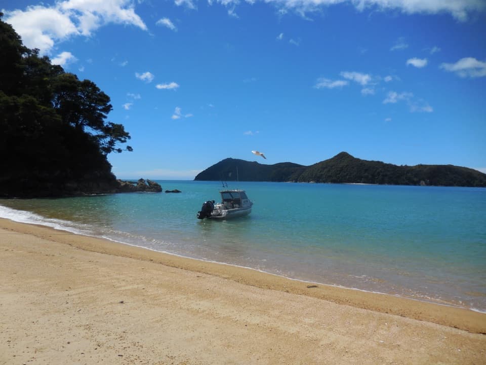
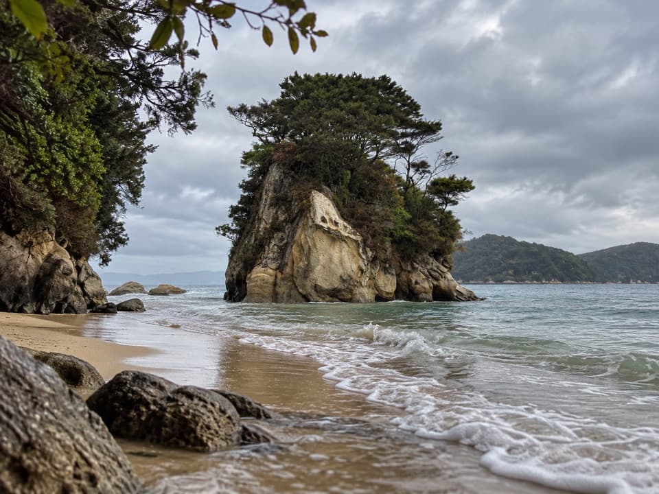
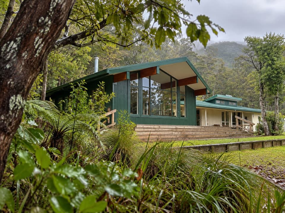
Cyathea Cove is a sandy bay on the southern Abel Tasman Coast Track. It’s one of a cluster of bays reached on foot from Apple Tree Bay, and paddlers and boaters also visit this stretch of coast. I’d stop if you’re already walking or kayaking here; it isn’t a drive-up attraction. Cyathea has no campsite or toilet; those facilities in the nearby group are at Akersten, Observation and Watering coves.
A name that went out and came backDumont d’Urville included Cyathea among the place names from his 1827 voyage.
Dumont d’Urville included Cyathea among the place names from his 1827 voyage. In 1849, Stokes set up an observatory here and renamed it Observation Cove. The original name later returned to avoid confusion with Observation Beach.
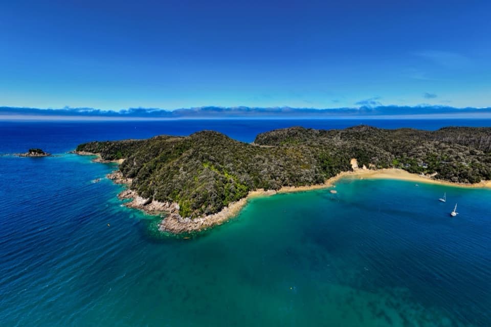
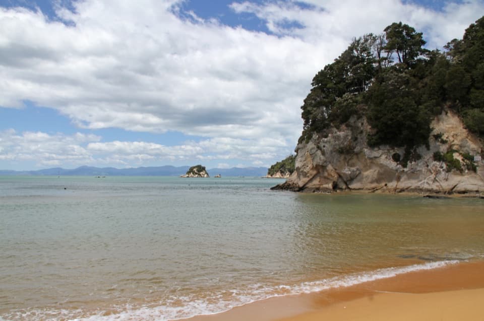
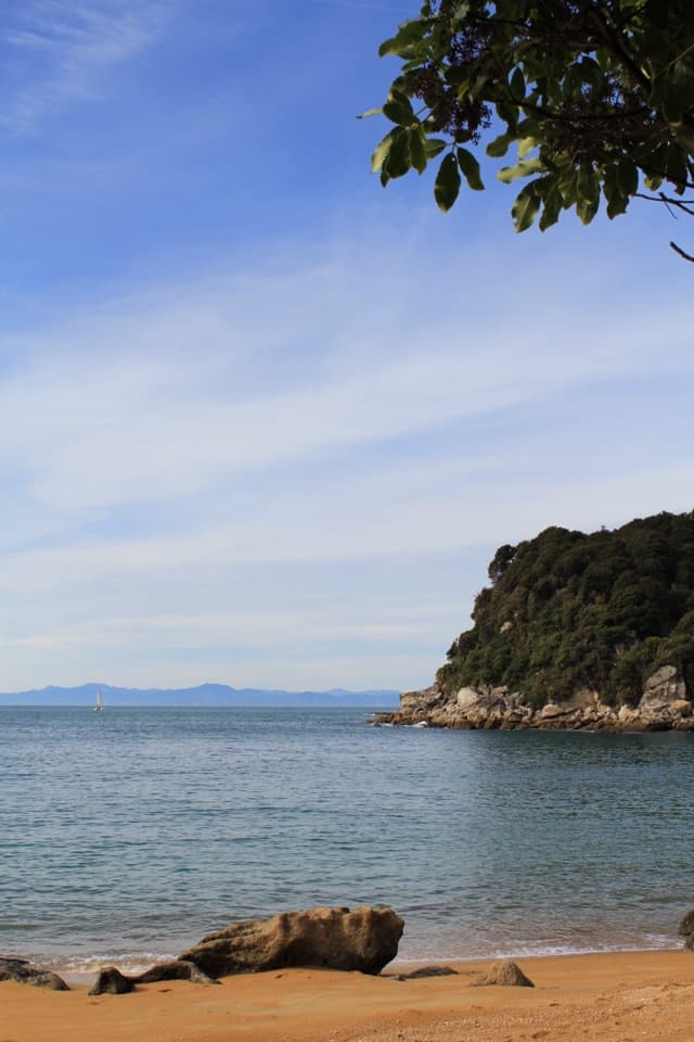
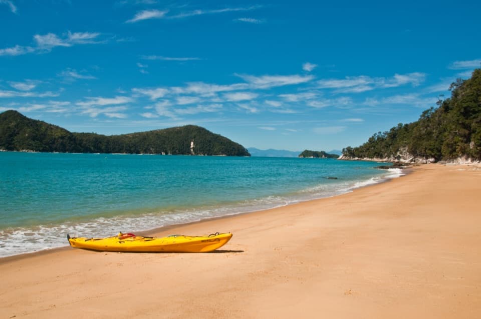
Across the roadsteadAdele Island and other islands sit across Astrolabe Roadstead.
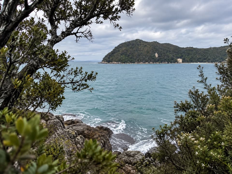
Adele Island and other islands sit across Astrolabe Roadstead. They break up the view toward open water and provide some shelter from the currents. For a photo, keep the sandy shoreline in front and the islands beyond it; that gives you the cove and the open coast in one frame.
Perrine Moncrieff’s coastThe Moncrieff family leased land that included Cyathea Cove and built a bach on the block.
The Moncrieff family leased land that included Cyathea Cove and built a bach on the block. In 1936, they bought 479 acres and had it set aside as a private scenic reserve. Perrine Moncrieff’s conservation work helped establish Abel Tasman National Park, which opened in 1942.
Wildlife
Wildlife in Abel Tasman
 10 sightingsKeaMost seen around 10 AMSighting map
 54 sightingsNew Zealand Fur SealMost seen around 10 AMSighting map
 20 sightingsLittle PenguinMost seen around 9 PMSighting map
 21 sightingsSouth Island KākāMost seen around 5 PMSighting map
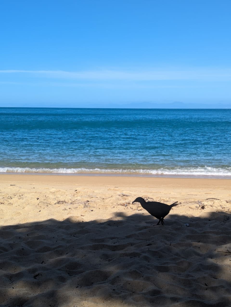
 526 sightingsWekaMost seen around 9 AMSighting map
 16 sightingsTūīMost seen around 7 AMSighting map
Sighting maps show where each species has been reported across Abel Tasman. Wildlife moves, so no sighting is guaranteed.