Parking
No road access or car park at Onetahuti. Arrive by water taxi or on foot from an adjoining Coast Track section; plan a separate onward connection from Awaroa Hut.

Abel Tasman National Park, TA
A wetland boardwalk leads to a ridge above Onetahuti Bay.
Overview
Map & elevation
Plan your hike

The highest, rockiest slopes around here are a summer buffet for grizzly bears.
Abel Tasman Tour Guide
Parkwolf is a GPS audio tour guide for Abel Tasman National Park. As you drive, it chimes in with what’s ahead: hidden gems, upcoming stops, history, geology, and wildlife, right through your car’s speakers.
More stories near here in the app
“Fantastic app with many points of information… It’s great to just turn on while you’re driving and it gives you an audio tour of the national Park. We love it!!!!”


Trail guide
This is the Abel Tasman Coast Track’s 7.1 km (4.4 mile) point-to-point leg from Onetahuti Bay to Awaroa Hut, with a DOC walking time of about 2½ hours before stops. A wetland boardwalk, forested Tonga Saddle and an outlook over Awaroa Bay give the walk more variety than a beach-to-beach stroll. It is a moderate half-day, but the remote start and end make boat or adjoining-track arrangements part of the plan.
The measured leg starts at the northern end of Onetahuti Bay, where the Coast Track reaches the wetland walkway. If you land or walk in at the southern end of the beach, allow about 15 extra minutes along the sand; Venture Creek may need a wade depending on the tide. The raised boardwalk and bridge then provide an all-tide wetland crossing. A short climb reaches the ridgeline and a bench. Pause on the way up and look back: punga tree ferns frame the long arc of Onetahuti Beach.
The track continues through forest over Tonga Saddle. At the junction beyond it, the main DOC route passes Venture Creek, climbs to a lookout over Awaroa Bay and descends to Awaroa Campsite and Hut. A separate branch drops to the beach for water taxis; that landing by Awaroa Lodge is not the hut or the endpoint mapped here. The lodge offers seasonal café and meal service, but reaching it adds a shore connection, so check the pickup point and tide rather than assuming the boat meets the hut.
There is no road access at Onetahuti. Reach the start by water taxi or by walking in along the Coast Track; Awaroa Hut is also a walk-in destination. Book the DOC hut or campsite ahead during the Great Walk season. If you continue north from the hut, Awaroa Inlet has a narrow crossing window around low tide. Dogs are prohibited in the park.
Wildlife
 10 sightingsKeaMost seen around 10 AMSighting map
 54 sightingsNew Zealand Fur SealMost seen around 10 AMSighting map
 20 sightingsLittle PenguinMost seen around 9 PMSighting map
 21 sightingsSouth Island KākāMost seen around 5 PMSighting map
 526 sightingsWekaMost seen around 9 AMSighting map
 16 sightingsTūīMost seen around 7 AMSighting map
Sighting maps show where each species has been reported across Abel Tasman. Wildlife moves, so no sighting is guaranteed.
Keep exploring
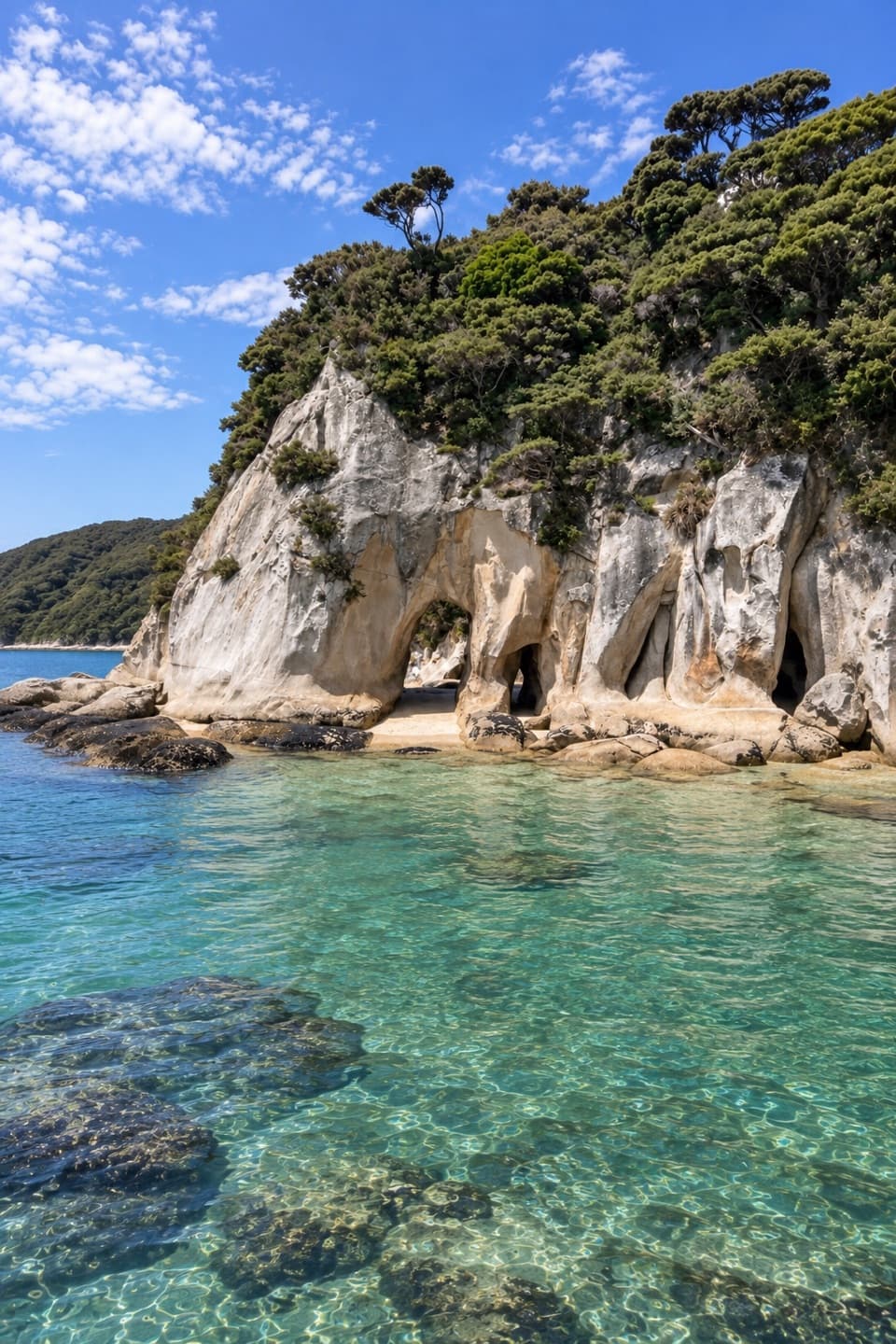 ModerateTonga Arches Walk12.6 km · 5.5 hr · 2 km awayA remote Coast Track outing toward low-tide granite arches
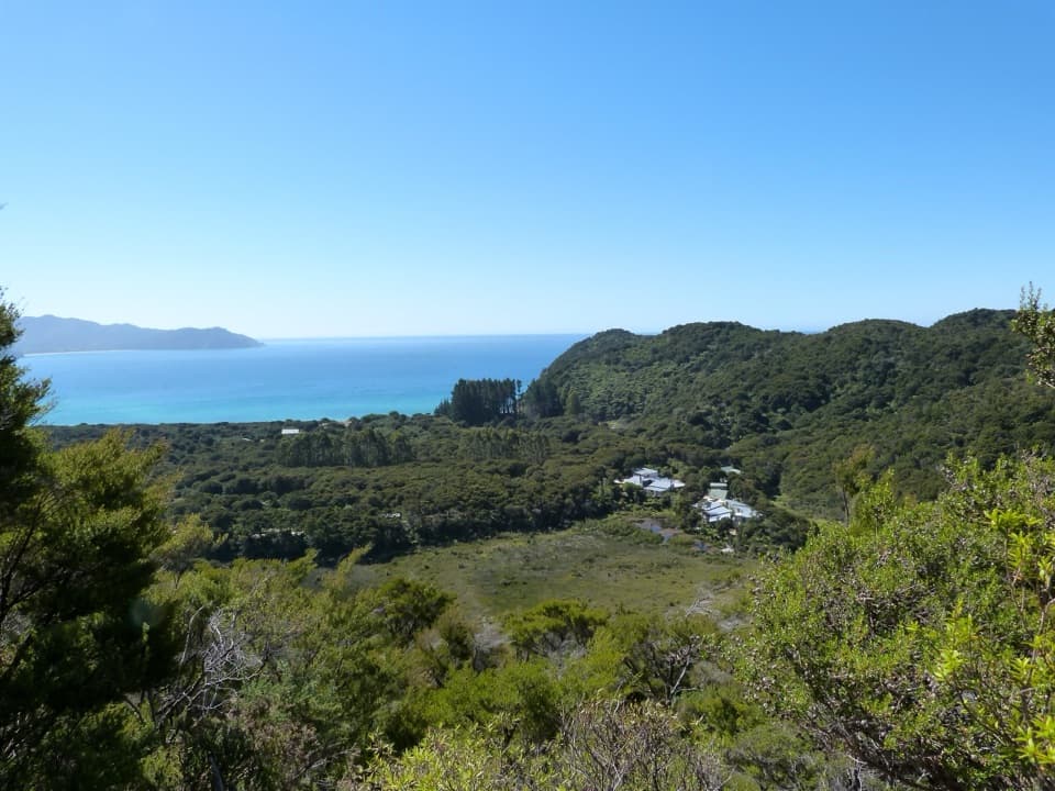 ModerateSky Track1.9 km · 1 hr · 2.2 km awayA short hill climb to a broad Awaroa Bay view.
 ModerateBark Bay to Onetahuti6.1 km · 2 hr · 3.9 km awayA quarry relic, forested ridges, and a long crescent beachModerateBark Bay to Awaroa13.5 km · 4.5 hr · 3.9 km awayA coastal one-way Great Walk through quarry, beach and forest.
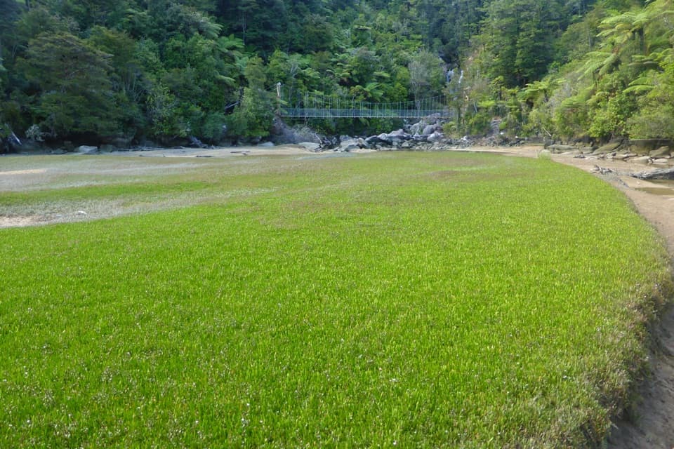 EasyBark Bay Waterfall Trail4 km · 1 hr · 4.4 km awayA short forest walk to a waterfall and a suspension bridge.
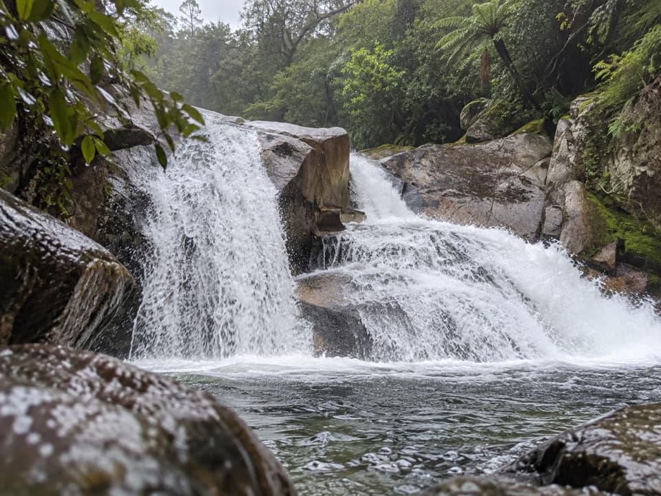 ModerateCascade Falls Track2.6 km · 1 hr · 7.3 km awayA steep forest spur to a waterfall hidden off the Coast Track.
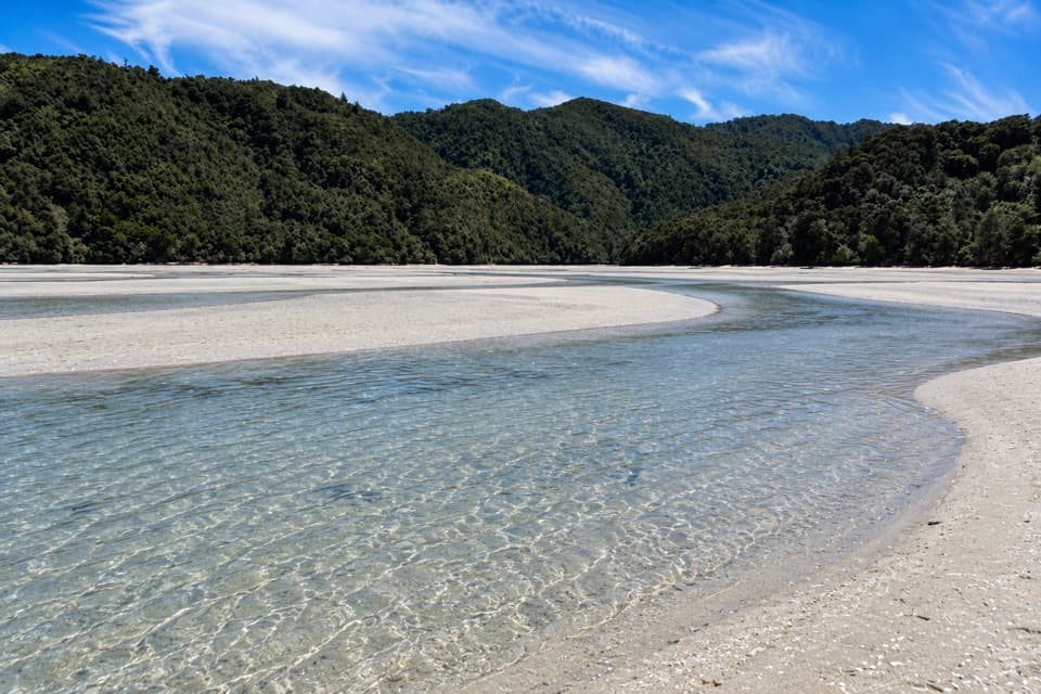 ModerateFalls River Track7 km · 3 hr · 7.3 km awayA steep climb to blue pools beyond the Cascade Falls spur.
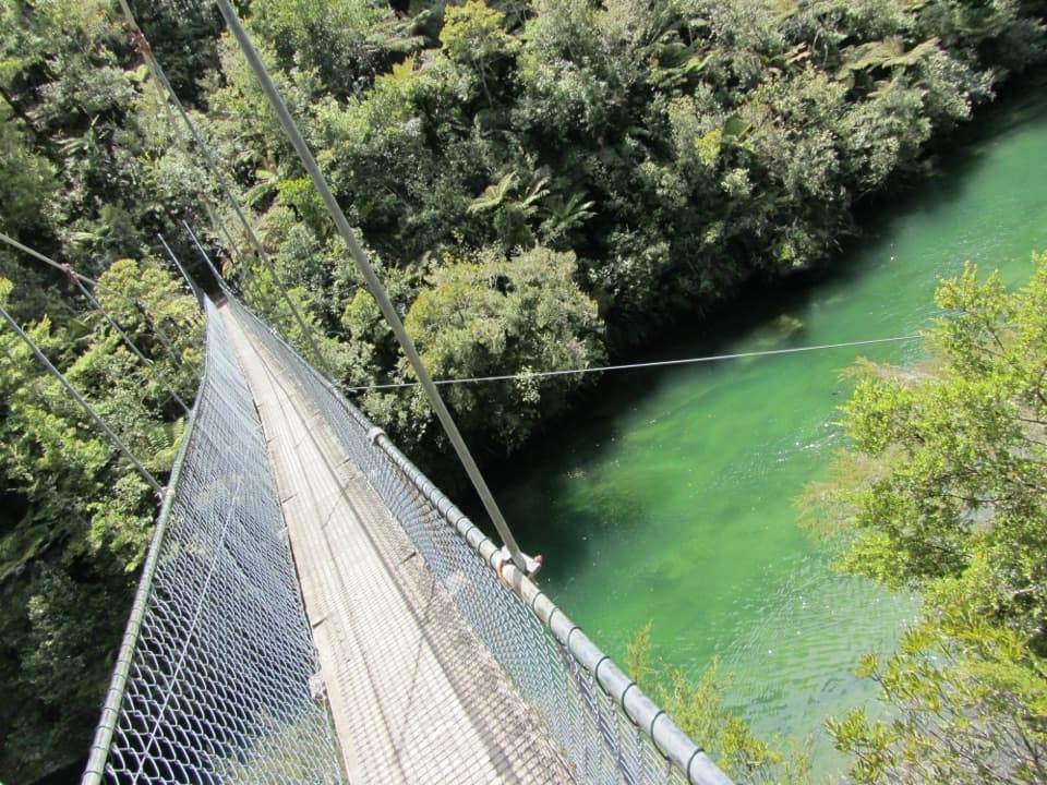 ModerateTorrent Bay to Bark Bay7.8 km · 2.5 hr · 7.4 km awayA ridge, a 47-metre swingbridge and a beach reshaped by tides.Beach · 0.5 km awayOnetahuti BayA long beach with Tonga Island just offshore.
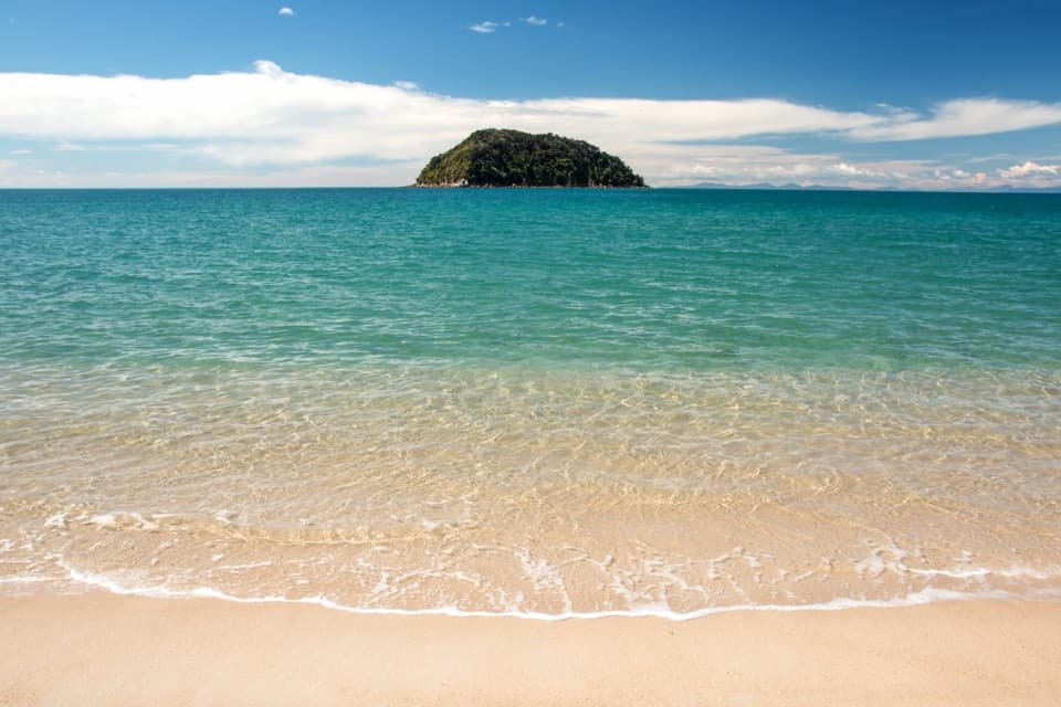 Sight · 1.5 km awayTonga QuarryA beach break with a granite story that reached Wellington.
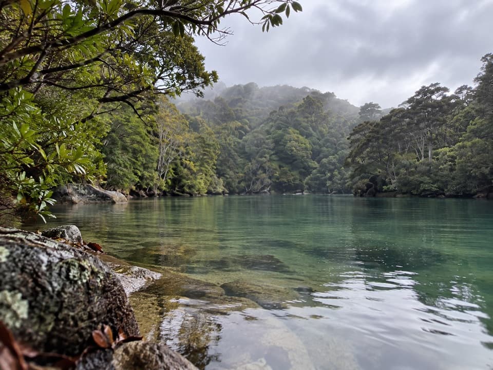 Sight · 1.5 km awayShag HarbourA sheltered inlet with a narrow, tide-sensitive entrance.
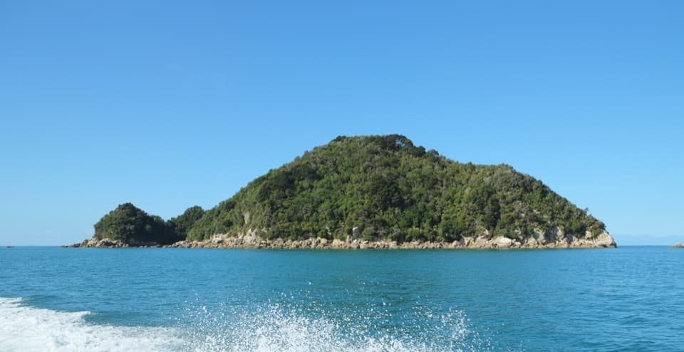 Sight · 1.6 km awayTonga IslandLook for fur seals beside a protected offshore island.
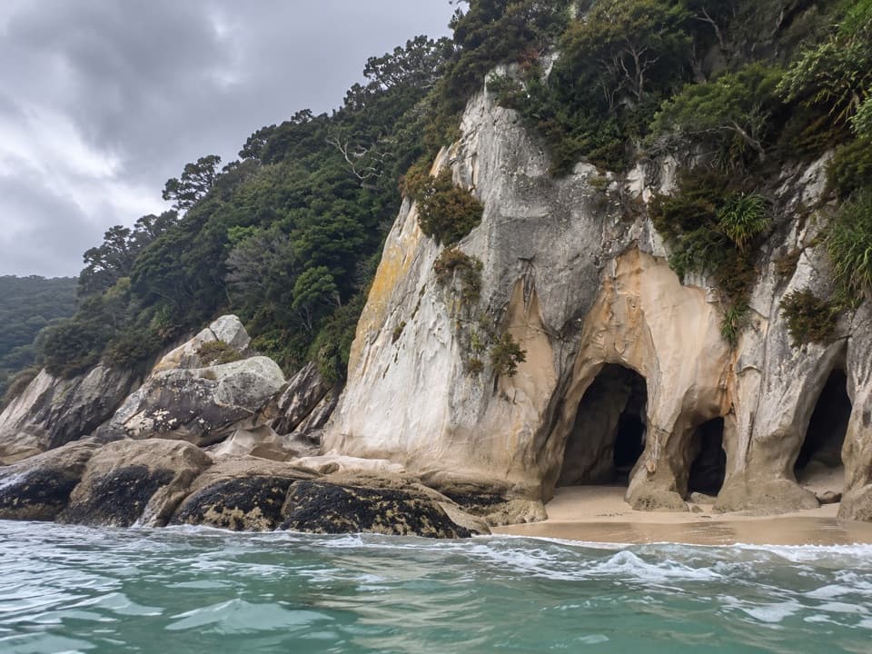 Sight · 1.9 km awayTonga ArchesPaddle through the granite arch when tide and sea allow.
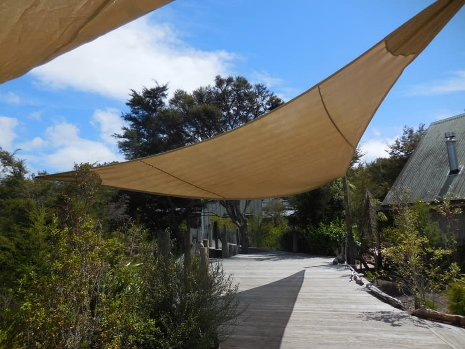 Lodging · 2.2 km awayAwaroa LodgeA proper meal at a remote lodge reached by boat or trail.
 Beach · 2.8 km awayAwaroa BeachGolden sandbanks, a tide-shaped inlet, and a beach saved for everyone.
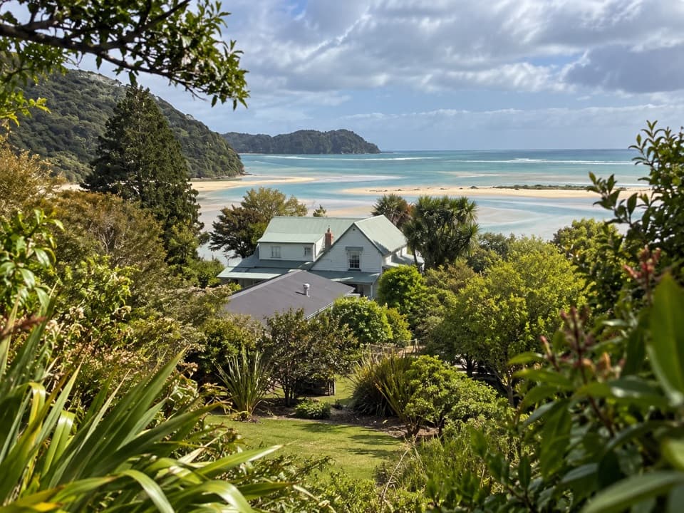 Lodging · 3 km awayMeadowbank Homestead at AwaroaA replica homestead lodge for multi-day Abel Tasman trips.
Parkwolf’s Abel Tasman ranking

The audio tour guide for the drive, plus offline maps, trails, and wildlife heatmaps for when the signal drops.




