Parking
Medlands Beach is not road-accessible. Arrange a water-taxi or cruise landing and confirm the return boat in advance; walking in on the Coast Track adds substantial distance.
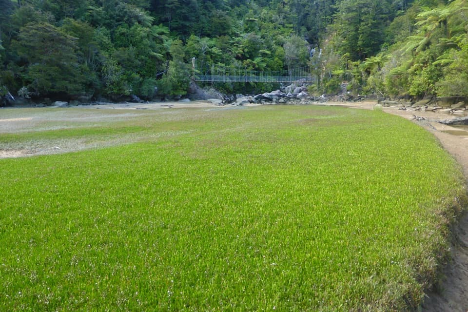
Abel Tasman National Park, TA
A short forest walk to a waterfall and a suspension bridge.
Overview
Map & elevation
Plan your hike

The highest, rockiest slopes around here are a summer buffet for grizzly bears.
Abel Tasman Tour Guide
Parkwolf is a GPS audio tour guide for Abel Tasman National Park. As you drive, it chimes in with what’s ahead: hidden gems, upcoming stops, history, geology, and wildlife, right through your car’s speakers.
More stories near here in the app
“Fantastic app with many points of information… It’s great to just turn on while you’re driving and it gives you an audio tour of the national Park. We love it!!!!”


Trail guide
Bark Bay Waterfall Trail is an easy out-and-back on the Abel Tasman Coast Track from Medlands Beach to the suspension bridge at Bark Bay Falls, then back to the landing. Allow about 4 km return and roughly an hour. The reward is a forest walk around the inlet and a close view of the waterfall from the bridge.
The track curves through native forest, with short sandy, compacted, rocky and timber sections. Wilsons describes the outing continuing onto Bark Bay’s golden beach as well. Its public directions do not show exactly how that beach stop connects to the return route or whether the short variant depends on the tide, so check the route with DOC or your boat operator before setting out.
Bark Bay Falls is a narrow cascade on Waterfall Creek, about 12 m high, viewed from a suspension footbridge. The creek crossing is easy to mistake for the much longer Coast Track’s 47 m Falls River Suspension Bridge, which is farther south between Anchorage and Bark Bay. The bridge and waterfall frame well together from the inlet side; stay on the signed track rather than scrambling down to the rocks below.
Medlands Beach has no road access. For this short outing, arrange a water taxi or cruise landing there and confirm your return boat before leaving; walking in on the Coast Track makes the day much longer. DOC’s scheduled water taxis serve Medlands and should be booked in advance. Dogs are not allowed in Abel Tasman National Park. No food outlet was identified on the route, so bring what you need before boarding.
Wildlife
 10 sightingsKeaMost seen around 10 AMSighting map
 54 sightingsNew Zealand Fur SealMost seen around 10 AMSighting map
 20 sightingsLittle PenguinMost seen around 9 PMSighting map
 21 sightingsSouth Island KākāMost seen around 5 PMSighting map
 526 sightingsWekaMost seen around 9 AMSighting map
 16 sightingsTūīMost seen around 7 AMSighting map
Sighting maps show where each species has been reported across Abel Tasman. Wildlife moves, so no sighting is guaranteed.
Keep exploring
 ModerateBark Bay to Onetahuti6.1 km · 2 hr · 0.6 km awayA quarry relic, forested ridges, and a long crescent beachModerateBark Bay to Awaroa13.5 km · 4.5 hr · 0.7 km awayA coastal one-way Great Walk through quarry, beach and forest.
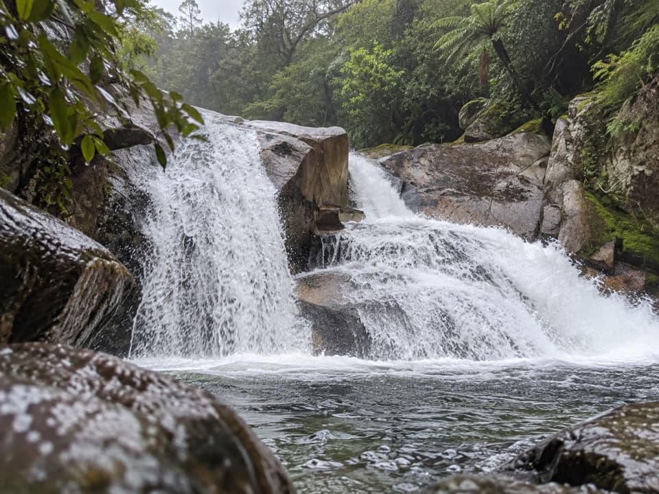 ModerateCascade Falls Track2.6 km · 1 hr · 3 km awayA steep forest spur to a waterfall hidden off the Coast Track.
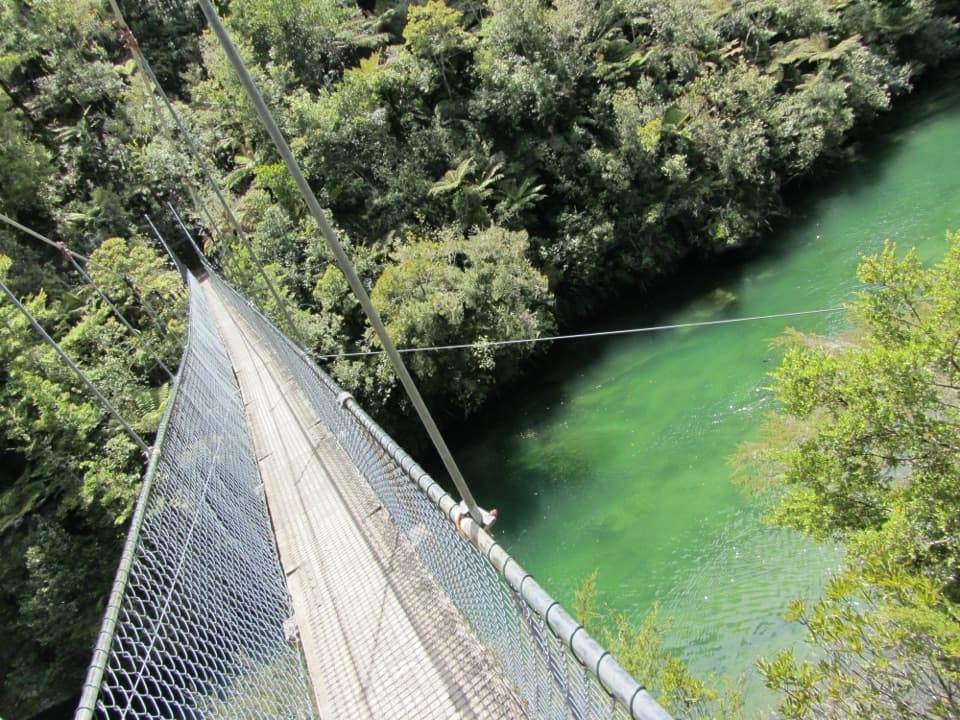 ModerateTorrent Bay to Bark Bay7.8 km · 2.5 hr · 3.1 km awayA ridge, a 47-metre swingbridge and a beach reshaped by tides.
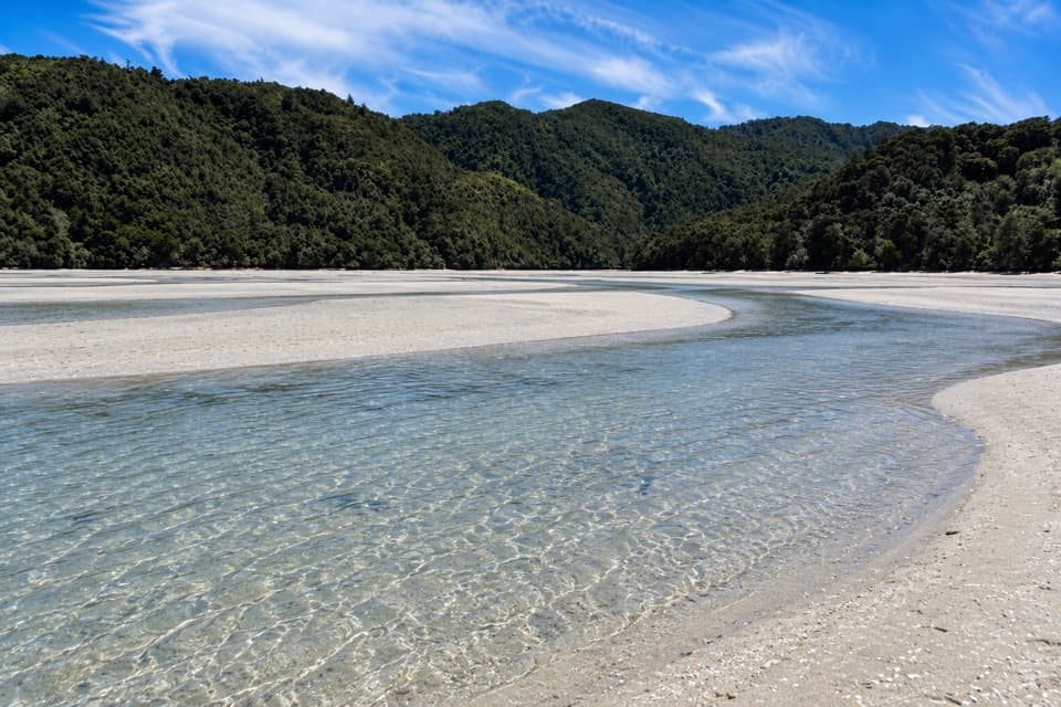 ModerateFalls River Track7 km · 3 hr · 3.1 km awayA steep climb to blue pools beyond the Cascade Falls spur.
 ModerateAnchorage to Bark Bay11.5 km · 4 hr · 4 km awayCoastal ridgelines, a 47-metre bridge, and a low-tide shortcut.
 ModeratePitt Head Loop Track3.2 km · 1.5 hr · 4.1 km awayA short headland loop with a crescent beach and open coastal views.
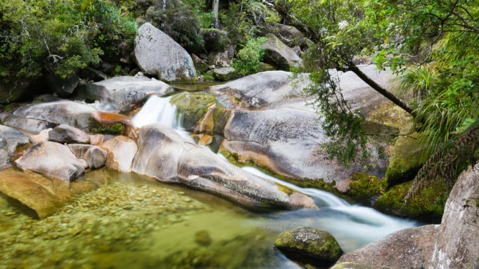 EasyCleopatra's Pool Track0.9 km · 24 min · 4.2 km awayA moss-lined natural slide waits beyond a short forest spur.
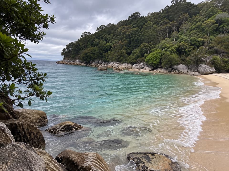 Beach · At the trailheadMedlands BeachA small beach break along the Coast Track, with water-taxi access.
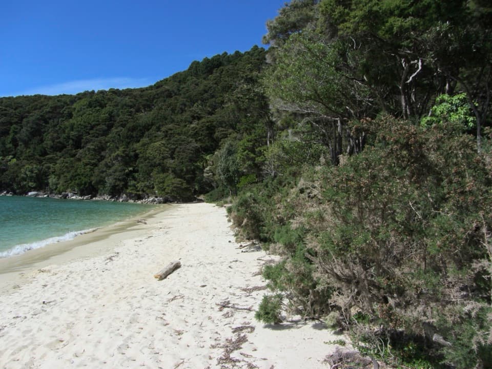 Beach · 0.6 km awayBark BayA golden beach between the open coast and a tidal estuary.
 Beach · 0.6 km awaySandfly BayA tidal lagoon tucked behind shifting golden sandspits.
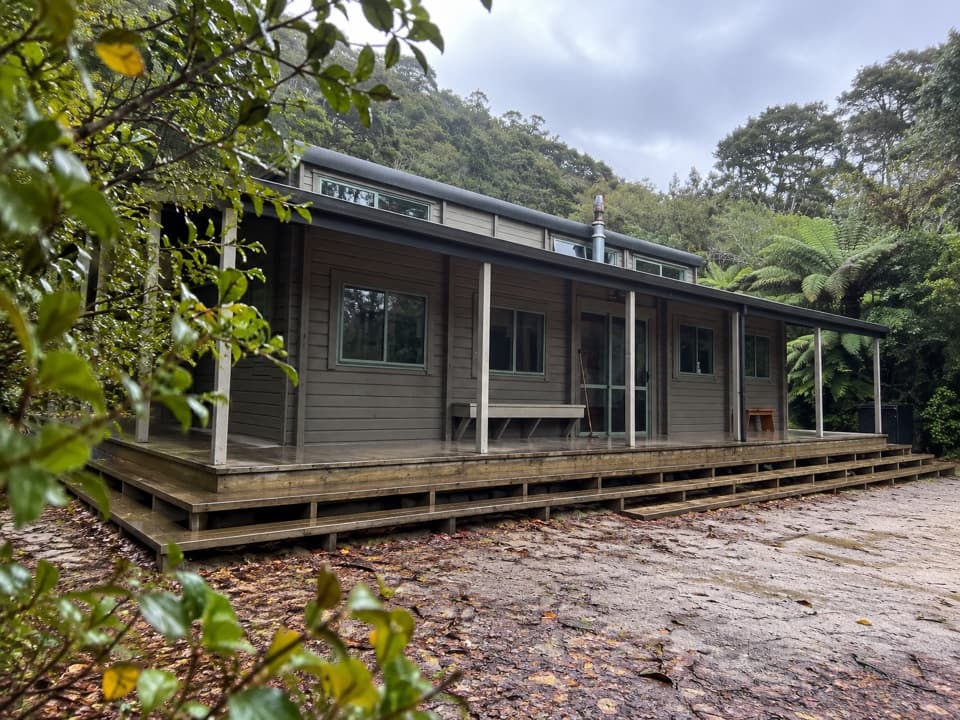 Lodging · 0.7 km awayBark Bay HutA 34-bunk overnight stop near Bark Bay’s beach and estuary.Sight · 1 km awayFalls River Suspension BridgeA springy crossing gives you a look down the Falls River inlet.
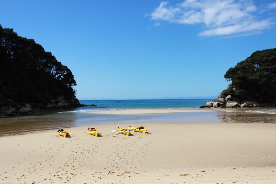 Campground · 1.1 km awayMosquito Bay CampsiteWinter sun, a rocky islet, and a boat-only beach camp.
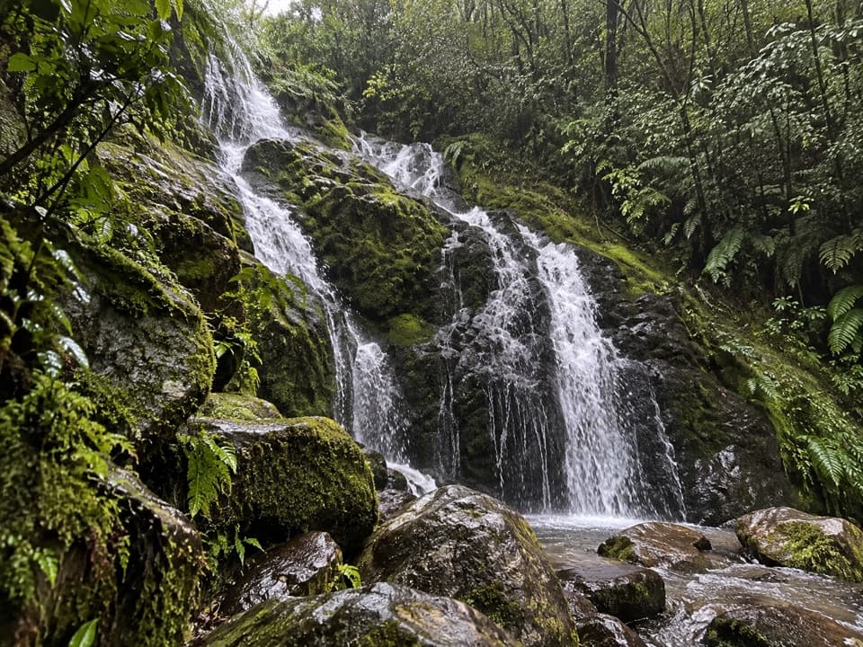 Sight · 2.5 km awayCascade FallsA steep detour reaches a multi-tier waterfall in native bush.
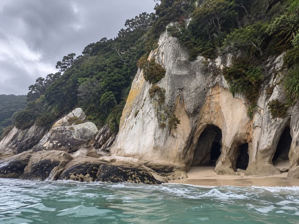 Sight · 2.5 km awayTonga ArchesPaddle through the granite arch when tide and sea allow.
Parkwolf’s Abel Tasman ranking

The audio tour guide for the drive, plus offline maps, trails, and wildlife heatmaps for when the signal drops.


