Parking
Awaroa has no road access or car park for this walk. Arrange a water taxi to Awaroa Landing and confirm the Lodge-side public-track connection and return pickup.
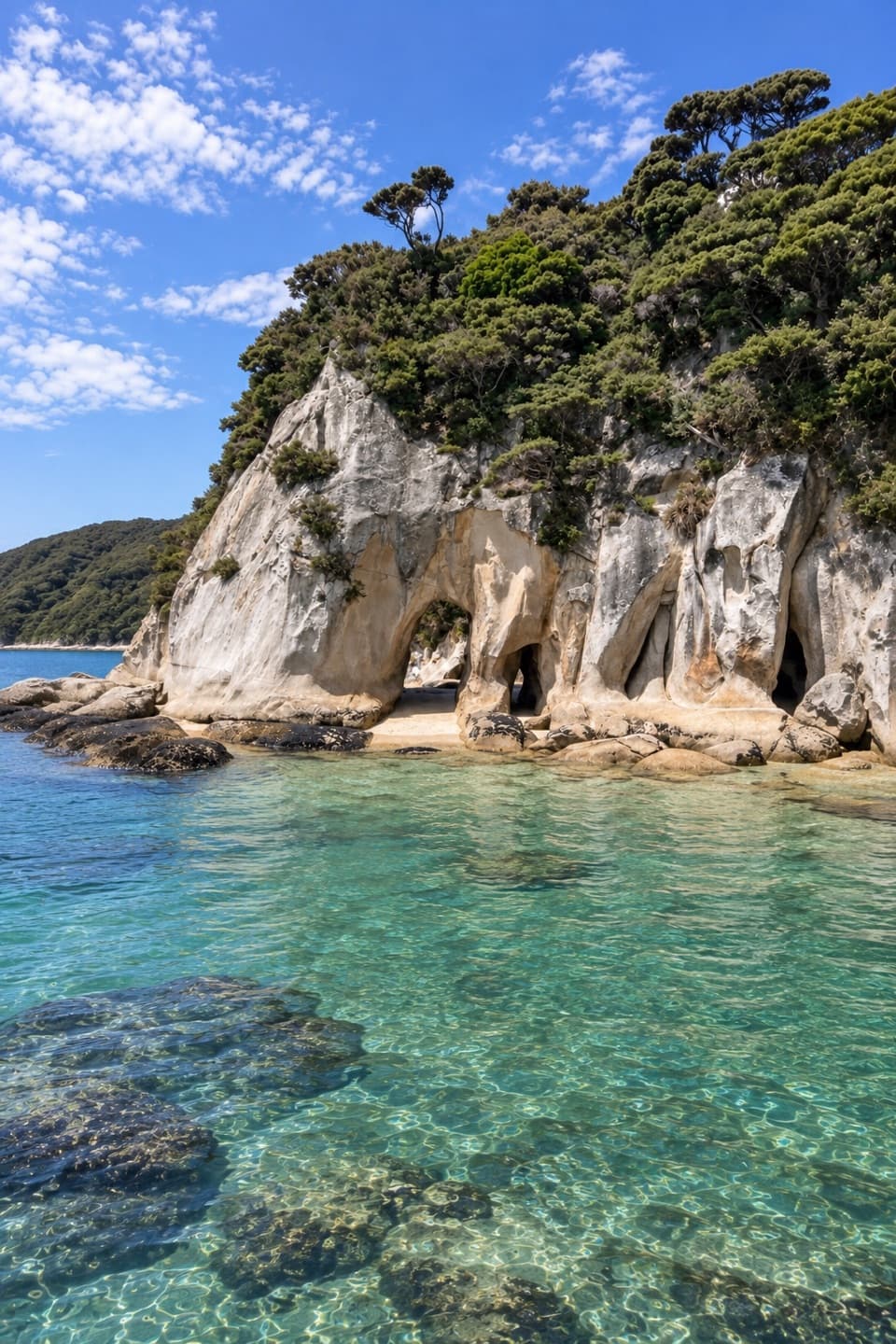
Abel Tasman National Park, TA
A remote Coast Track outing toward low-tide granite arches
Overview
Map & elevation
Plan your hike

The highest, rockiest slopes around here are a summer buffet for grizzly bears.
Abel Tasman Tour Guide
Parkwolf is a GPS audio tour guide for Abel Tasman National Park. As you drive, it chimes in with what’s ahead: hidden gems, upcoming stops, history, geology, and wildlife, right through your car’s speakers.
More stories near here in the app
“Fantastic app with many points of information… It’s great to just turn on while you’re driving and it gives you an audio tour of the national Park. We love it!!!!”


Trail guide
This out-and-back follows the Abel Tasman Coast Track from the nearest mapped access south of Awaroa Lodge toward Tonga Arches. The stored public-track corridor is about 6.3 km each way (12.6 km / 7.8 mi return); allow roughly 5–6 hours walking for the mapped return, with extra time for any locally confirmed shore approach. The mapped track comes within about 205 m of the arch location, but the final connection is not mapped, so the route line does not establish foot access to the arches. A local visitor guide describes walking through them at low tide; confirm the public approach before leaving the formed track.
The Coast Track climbs through coastal forest over Tonga Saddle, descends toward Onetahuti, and continues toward Tonga Quarry. Expect sustained ups and downs on a formed hiking path, followed by a coastal section near the quarry. A bridge crosses Richardson Stream on the current mapped route; older descriptions of a tidal stream crossing are not used for this itinerary. This is a remote hike, not a simple beach stroll.
Awaroa has no road access. Arrange a water taxi to Awaroa Landing and confirm the return pickup before setting out. The named walk has no clearly marked trailhead: its described start is south of the lodge, while the exact public connection from the lodge grounds to the mapped Coast Track is not shown. The saved route starts on the nearest mapped Coast Track point instead.
The saved line stops about 205 m west of the Tonga Arches map pin. Satellite imagery shows dense vegetation and rocky shore between them, and no public connector is mapped. The arches are described as walkable at low tide, but the exact safe connection from this track is unresolved. Do not follow a straight line across vegetation or cliff; confirm the route locally and only approach the shore when the tide allows a safe return.
The Tonga Bay Granite Company was incorporated in 1904. Its quarry cut building stone; squared blocks and a winch base remain as reminders of the work. Granite from Tonga Bay was used for Wellington’s Chief Post Office and Nelson’s Cawthron Steps. The company had greatly scaled back by 1913 and was removed from the register in 1921.
Dogs are not allowed in Abel Tasman National Park. There is no road-side parking at Awaroa, and so arrange boat transport and carry food and water for a long day. Build the tide window into both the outward approach and return rather than timing only the visit to the arches.
Wildlife
 10 sightingsKeaMost seen around 10 AMSighting map
 54 sightingsNew Zealand Fur SealMost seen around 10 AMSighting map
 20 sightingsLittle PenguinMost seen around 9 PMSighting map
 21 sightingsSouth Island KākāMost seen around 5 PMSighting map
 526 sightingsWekaMost seen around 9 AMSighting map
 16 sightingsTūīMost seen around 7 AMSighting map
Sighting maps show where each species has been reported across Abel Tasman. Wildlife moves, so no sighting is guaranteed.
Keep exploring
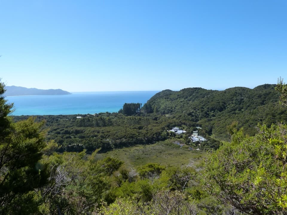 ModerateSky Track1.9 km · 1 hr · 0.4 km awayA short hill climb to a broad Awaroa Bay view.
 ModerateOnetahuti Bay to Awaroa Hut7.1 km · 2.5 hr · 2 km awayA wetland boardwalk leads to a ridge above Onetahuti Bay.
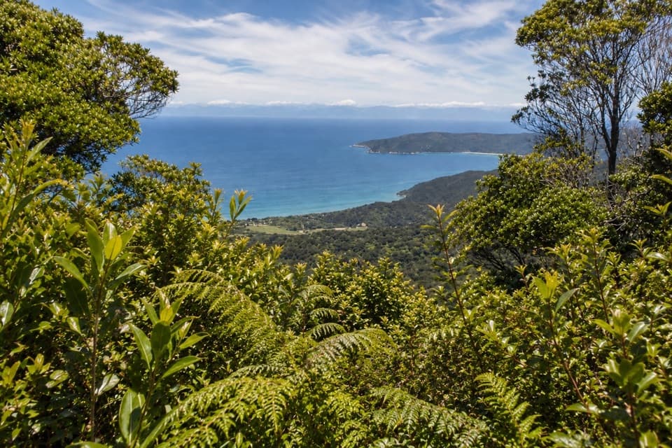 ChallengingGibbs Hill Track from Tōtaranui9 km · 3.8 hr · 5.6 km awaySteep climb from Tōtaranui to a clear-day bay panorama.
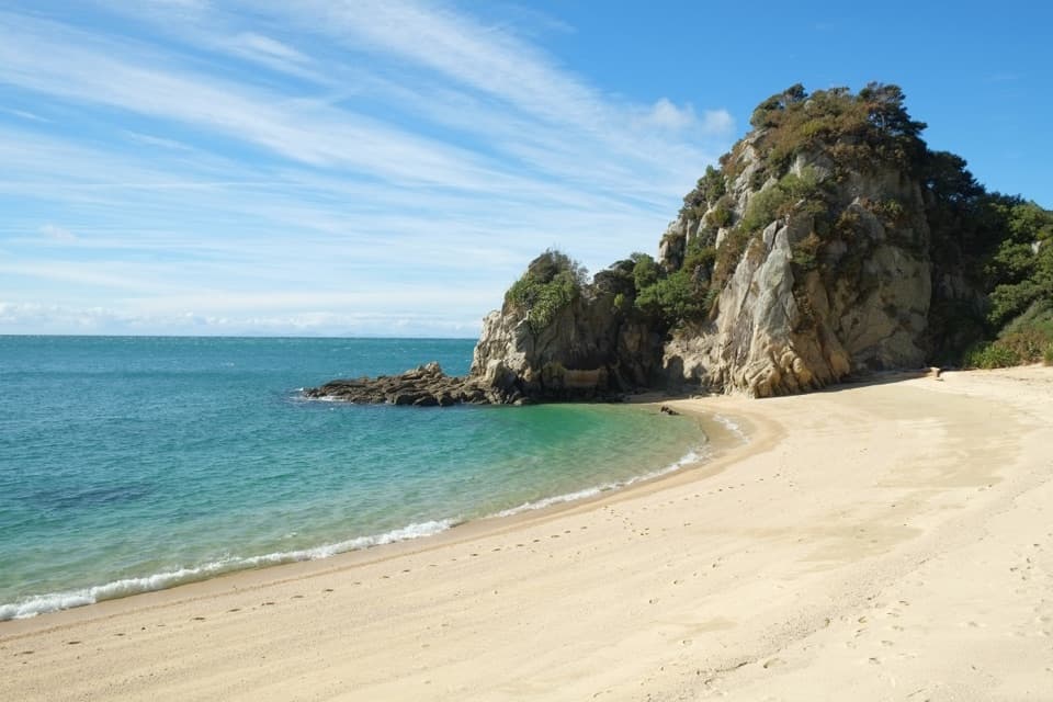 ModerateTōtaranui to Separation Point14.4 km · 4.5 hr · 5.6 km awayGolden beaches, nikau gullies, and a headland between two bays.
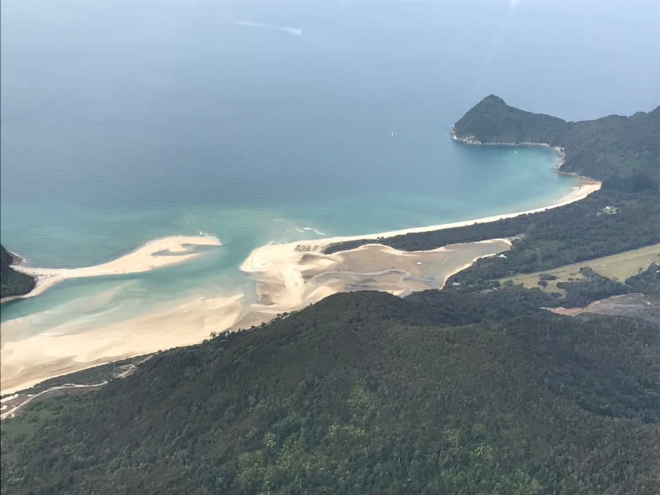 ModerateTōtaranui to Awaroa Bay9 km · 3 hr · 5.6 km awayA low-tide crossing turns this coast walk into a proper outing.
 ModerateTōtaranui to Anapai Bay6.4 km · 2.5 hr · 5.6 km awayA low saddle leads to Anapai’s divided beach and granite stacks.
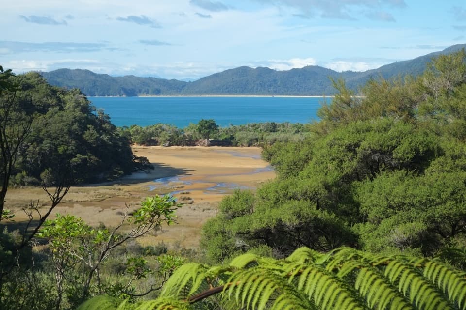 ChallengingGibbs Hill to Whariwharangi Bay Loop Track18.3 km · 5.5 hr · 5.6 km awayA steep ridge and a restored homestead reward the coastal loop.ModerateTōtaranui to Whariwharangi Bay9.8 km · 3.3 hr · 5.6 km awayBeach coves and kānuka headlands lead to a restored homestead.
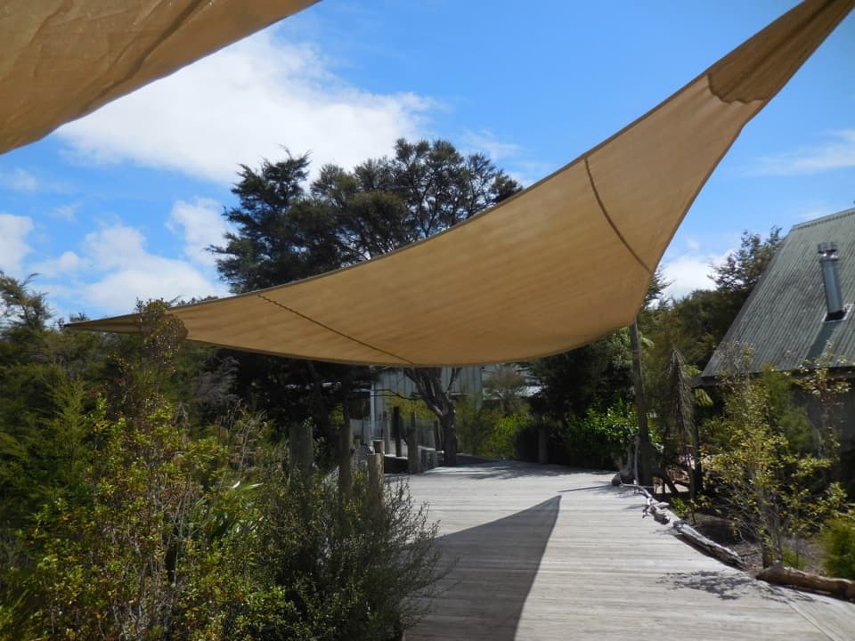 Lodging · 0.4 km awayAwaroa LodgeA proper meal at a remote lodge reached by boat or trail.
 Beach · 0.7 km awayAwaroa BeachGolden sandbanks, a tide-shaped inlet, and a beach saved for everyone.
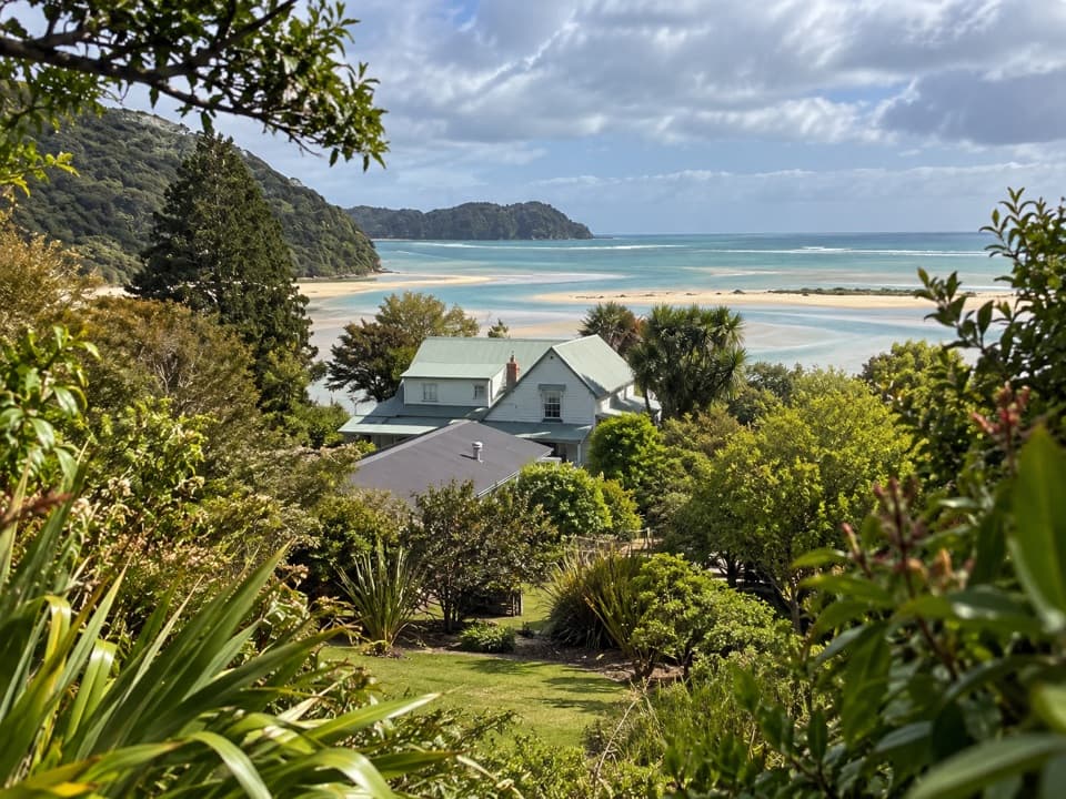 Lodging · 1.1 km awayMeadowbank Homestead at AwaroaA replica homestead lodge for multi-day Abel Tasman trips.
 Campground · 1.7 km awayAwaroa CampsiteAn 18-site estuary camp that catches good winter sun.
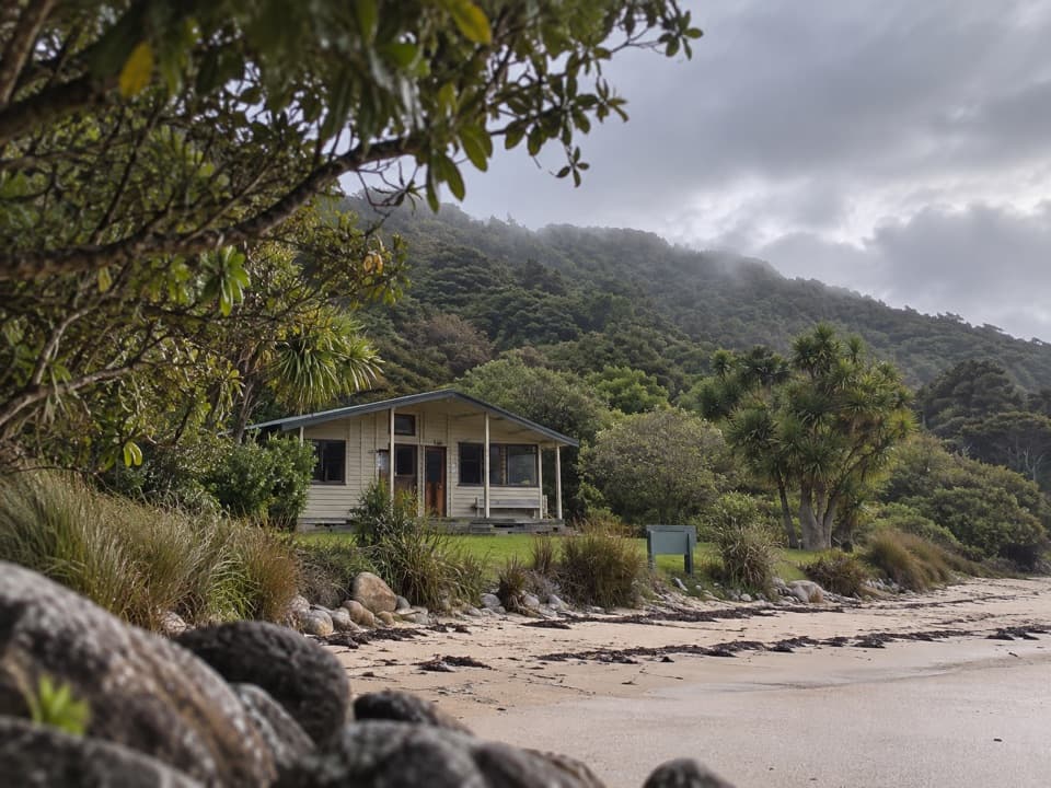 Lodging · 1.8 km awayAwaroa HutAn estuary-side Great Walk hut with a cold outdoor shower.
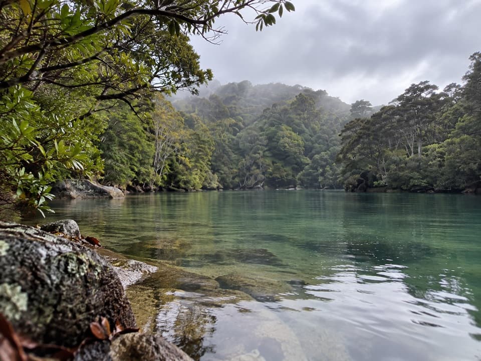 Sight · 2.1 km awayShag HarbourA sheltered inlet with a narrow, tide-sensitive entrance.
 Beach · 2.4 km awayOnetahuti BayA long beach with Tonga Island just offshore.
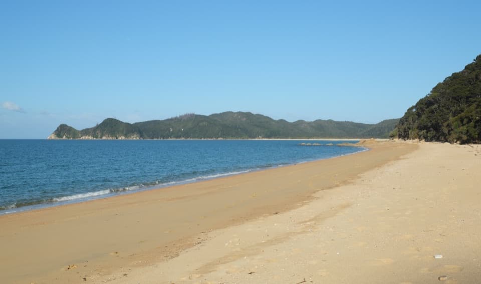 Campground · 2.7 km awayWaiharakeke BayA bush-fringed campsite a short walk from a sandy bay.
Parkwolf’s Abel Tasman ranking

The audio tour guide for the drive, plus offline maps, trails, and wildlife heatmaps for when the signal drops.



