Bark Bay to Awaroa in Abel Tasman National Park

Abel Tasman National Park, TA

Bark Bay to Awaroa

A coastal one-way Great Walk through quarry, beach and forest.

Photo: Public Domain
Length
13.5km
Time
4.5hr
Elev. change
131m
Difficulty
Moderate
  • No dogs
  • High point 133 m
  • #11 of 43 in Abel Tasman
Parkwolf audio tour23 stories across Abel Tasman’s roads

Overview

About Bark Bay to Awaroa

Why go

  • Onetahuti Beach and views toward Tonga Island.
  • A varied route from coastal forest to quarry, beach and lookout.

Heads up

  • Point-to-point boat logistics need advance planning.
  • Steep forest climbs break up the long beach section.

Map & elevation

The route

Loading the Abel Tasman map
Full map
Elevation2–133 m
TrailheadBark Bay Hut / Coast Track-40.91608, 173.04858
Keep this map with you offline in the Parkwolf app

Plan your hike

Before you go

Parking

Bark Bay has no road access; reach it by a booked water taxi or the Coast Track. Arrange a drop-off at Bark Bay and onward transport from Awaroa. This route ends at Awaroa Hut; water-taxi access uses a separate track toward Awaroa Beach. Park at the operator’s departure site.


Safety

At Bark Bay, wade the estuary only within two hours either side of low tide; the all-tide track around the edge takes about 10 minutes. If your water-taxi pickup is at Awaroa Beach, use the separate non-DOC access from the junction and confirm the meeting point and tide plan. Sandflies and wasps occur along the route.

A park ranger sits on a dash-mounted phone, talking, as Parkwolf’s Tour Guide plays “Army Cutworm Moths: A Grizzly Bear Buffet” on Grand Loop Road below Dunraven Pass in Yellowstone
Parkwolf Tour GuideThe highest, rockiest slopes around here are a summer buffet for grizzly bears.

Abel Tasman Tour Guide

Your drive to Bark Bay to Awaroa, narrated.

Parkwolf is a GPS audio tour guide for Abel Tasman National Park. As you drive, it chimes in with what’s ahead: hidden gems, upcoming stops, history, geology, and wildlife, right through your car’s speakers.

  • 23 audio storiesacross Abel Tasman’s roads, triggered by GPS as you drive
  • Wildlife heatmapsfor Kea, New Zealand Fur Seal, Little Penguin, and 13 more
  • Works offlinemaps, 43 trails, 65 places, and audio download before you lose signal
  • CarPlay readysimple controls built for the drive
★★★★★
“Fantastic app with many points of information… It’s great to just turn on while you’re driving and it gives you an audio tour of the national Park. We love it!!!!”
JMJamesApp Store review
Download Parkwolf on the App StoreGet Parkwolf on Google Play

4.7 from 8,600+ ratings

Trail guide

Hiking Bark Bay to Awaroa

Is this your kind of day?Bark Bay to Awaroa is a 13.5 km (8.4 mi) one-way section of the Abel Tasman Coast Track.

Bark Bay to Awaroa is a 13.5 km (8.4 mi) one-way section of the Abel Tasman Coast Track. Allow about 4½ hours for the DOC route from Bark Bay Hut to Awaroa Hut. It is a point-to-point coastal walk, not a loop, so arrange a boat or extra Coast Track walking for both ends.

Start with Bark Bay’s tideAt Bark Bay, the direct estuary crossing is suitable only within two hours either side of low…

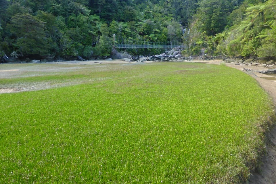
At Bark Bay, the direct estuary crossing is suitable only within two hours either side of low tide. Otherwise take the roughly ten-minute all-tide track around its edge. From there, the track climbs steeply through mānuka to a saddle before returning to the coast at Tonga Quarry.

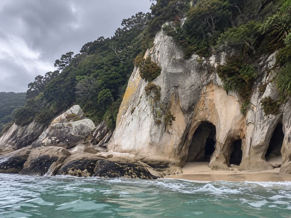
Quarry, island and beachTonga Quarry is a remnant of local granite working from the early 1900s.

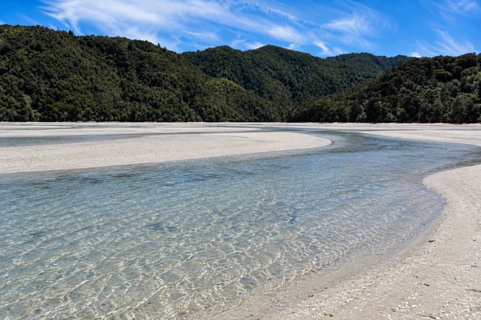
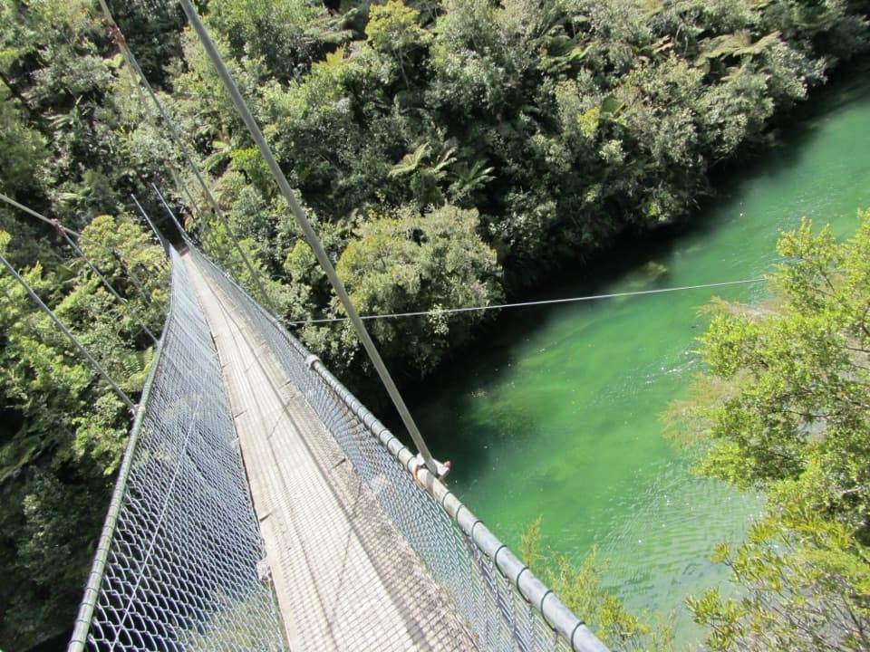
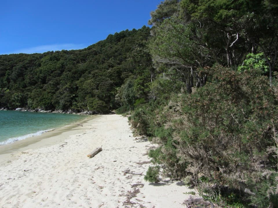
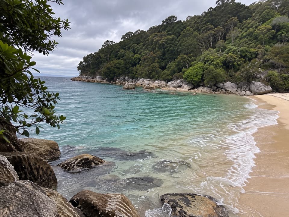
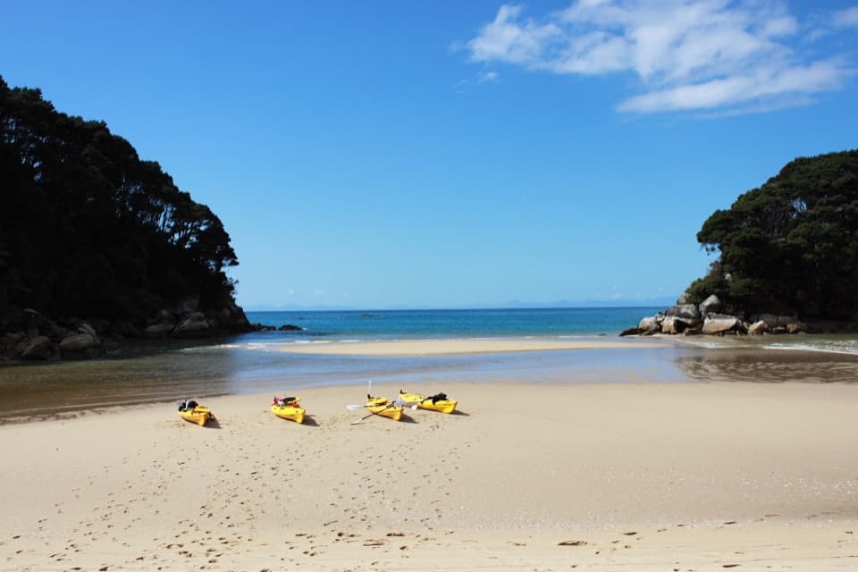
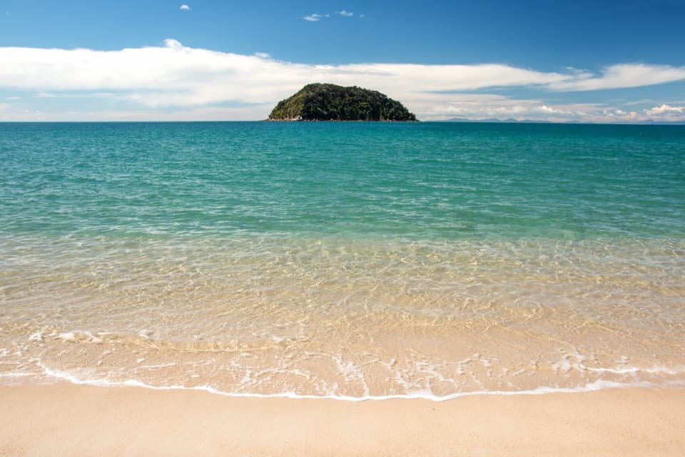
Tonga Quarry is a remnant of local granite working from the early 1900s. The track passes beside Tonga Island Marine Reserve, then reaches Onetahuti’s long beach. A boardwalk and bridge cross the tidal stream there at any tide. Onetahuti is the best place to look back along the sand toward Tonga Island; the open beach is a welcome change from the forest climbs.

Continue to Awaroa HutClimb over forested Tonga Saddle and stay on the main track at the junction.

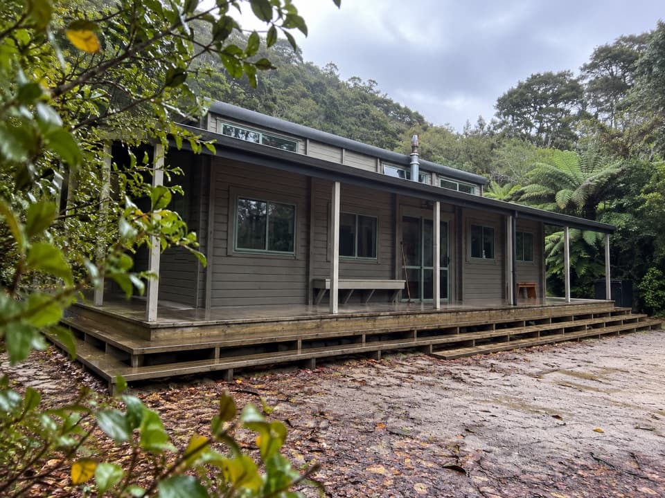
Climb over forested Tonga Saddle and stay on the main track at the junction. It follows Venture Creek to a hilltop lookout over Awaroa Bay, then descends to Awaroa campsite and hut. A separate non-DOC track turns toward Awaroa Beach for water-taxi access; that is a different endpoint from this route. The beach is also a 40-minute one-way side trip from the hut and became public conservation land after a community purchase in 2016.

What to carry and knowDay walking is free, but huts and campsites need advance booking and payment.

Day walking is free, but huts and campsites need advance booking and payment. Water at the huts and campsites is untreated, so bring a way to treat it. Toilets are available at huts, campsites and Tonga Quarry. Dogs are not allowed. Sandflies and wasps occur along the track; insect repellent is useful.

Wildlife

Wildlife in Abel Tasman

All Abel Tasman wildlife maps

Sighting maps show where each species has been reported across Abel Tasman. Wildlife moves, so no sighting is guaranteed.

Keep exploring

Near Bark Bay to Awaroa

See it all on the map

Trails that start nearby

Places near the trailhead

Parkwolf’s Abel Tasman ranking

Top-rated trails in Abel Tasman

All 43 trails
  1. 1Abel Tasman Coast TrackChallenging · 60 km
  2. 2Mārahau to AnchorageModerate · 12.4 km
  3. 3Anchorage to Bark BayModerate · 11.5 km
  4. 4Wainui Falls TrackModerate · 3.4 km
  5. 5Pitt Head Loop TrackModerate · 3.2 km
  6. 6Tōtaranui to Anapai BayModerate · 6.4 km

Take Parkwolf to Abel Tasman.

The audio tour guide for the drive, plus offline maps, trails, and wildlife heatmaps for when the signal drops.

4.7 from 8,600+ ratings

Download Parkwolf on the App StoreGet Parkwolf on Google Play