Parking
Awaroa Lodge has no road access. Reach it by water taxi or on foot via the Abel Tasman Coast Track; arrange transport ahead. The lodge is about a 20-minute walk from the beach access.
Abel Tasman National Park, TA
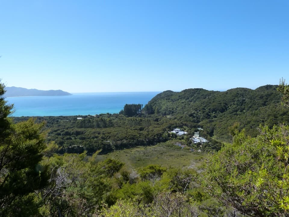
A short hill climb to a broad Awaroa Bay view.
Overview
Map & elevation
Plan your hike

The highest, rockiest slopes around here are a summer buffet for grizzly bears.
Abel Tasman Tour Guide
Parkwolf is a GPS audio tour guide for Abel Tasman National Park. As you drive, it chimes in with what’s ahead: hidden gems, upcoming stops, history, geology, and wildlife, right through your car’s speakers.
More stories near here in the app
“Fantastic app with many points of information… It’s great to just turn on while you’re driving and it gives you an audio tour of the national Park. We love it!!!!”


Trail guide
Sky Track is a short out-and-back from Awaroa Lodge to the Abel Tasman Coast Track. The mapped hillside section runs about 0.6 mile one way; return along the same path for about 1.2 miles total and roughly an hour. It climbs through coastal bush and earns an elevated look over Awaroa Bay. The map draws the physical path once, while the distance counts the return.
The view opens over treetops and the blue-green bay, with the Marlborough Sounds on the horizon. The exact viewpoint and track surface are not well documented, so ask at the lodge for directions and take the mapped line as the best-supported version of the short hill walk. Longer bay circuits appear in some route listings, but their lines and distances do not match this hillside route closely enough to combine them here.
Awaroa Lodge has no road access. Arrive by water taxi or walk in on the Coast Track, and arrange your return transport before setting out; the lodge is about a 20-minute walk from its beach access. Day-use permission for the lodge-side path is unclear, so confirm access with the lodge first. Dogs are not allowed in the park. If you continue beyond the short walk on the Coast Track, check the daylight and tide window for Awaroa Inlet.
Wildlife
 10 sightingsKeaMost seen around 10 AMSighting map
 54 sightingsNew Zealand Fur SealMost seen around 10 AMSighting map
 20 sightingsLittle PenguinMost seen around 9 PMSighting map
 21 sightingsSouth Island KākāMost seen around 5 PMSighting map
 526 sightingsWekaMost seen around 9 AMSighting map
 16 sightingsTūīMost seen around 7 AMSighting map
Sighting maps show where each species has been reported across Abel Tasman. Wildlife moves, so no sighting is guaranteed.
Keep exploring
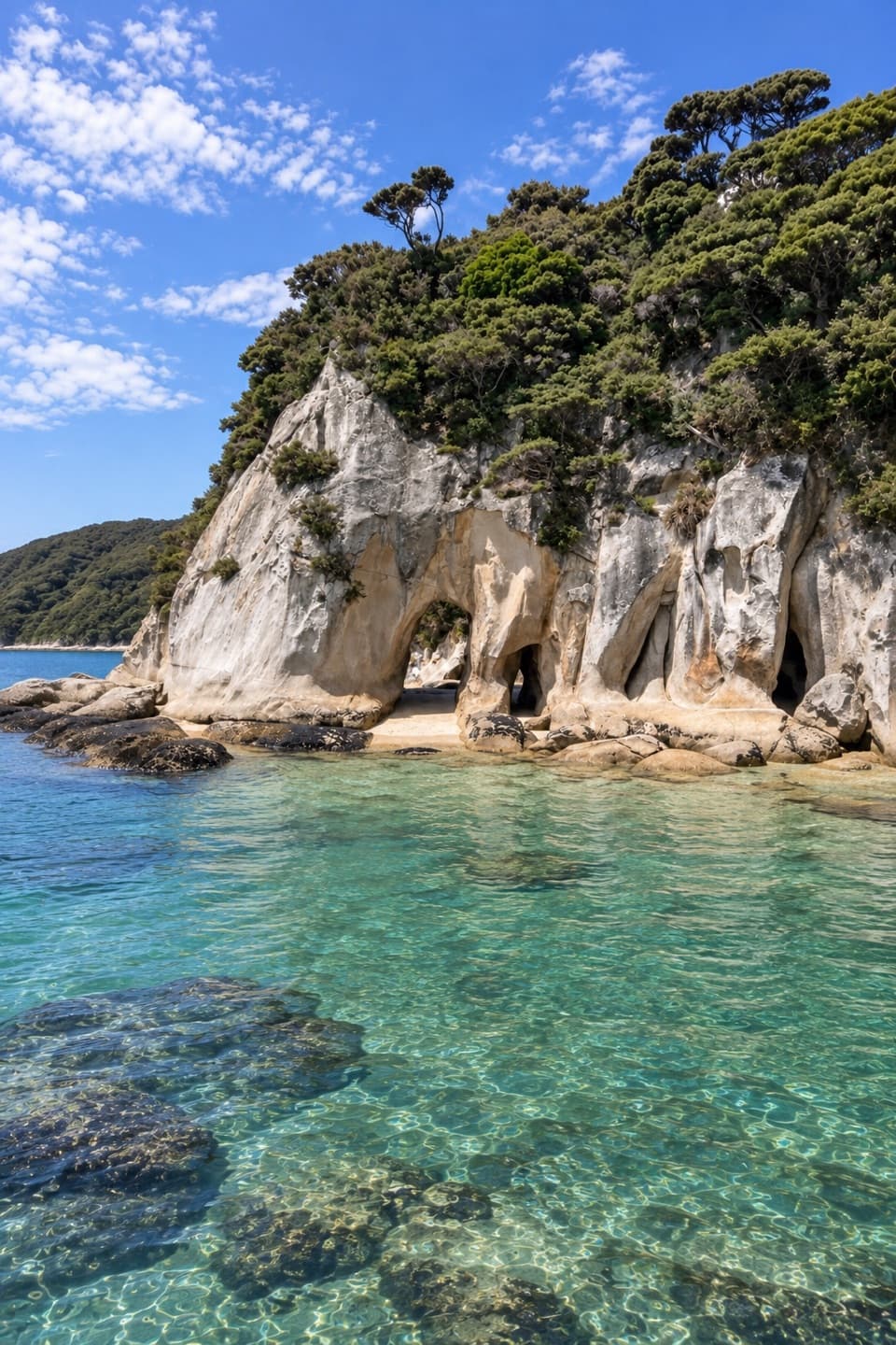 ModerateTonga Arches Walk12.6 km · 5.5 hr · 0.4 km awayA remote Coast Track outing toward low-tide granite arches
 ModerateOnetahuti Bay to Awaroa Hut7.1 km · 2.5 hr · 2.2 km awayA wetland boardwalk leads to a ridge above Onetahuti Bay.
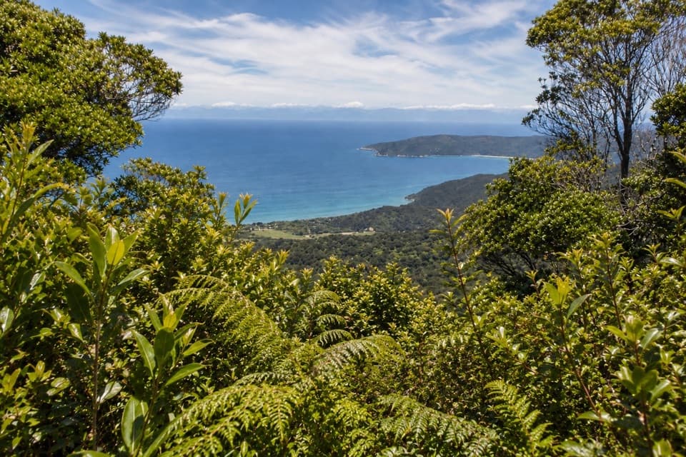 ChallengingGibbs Hill Track from Tōtaranui9 km · 3.8 hr · 5.5 km awaySteep climb from Tōtaranui to a clear-day bay panorama.
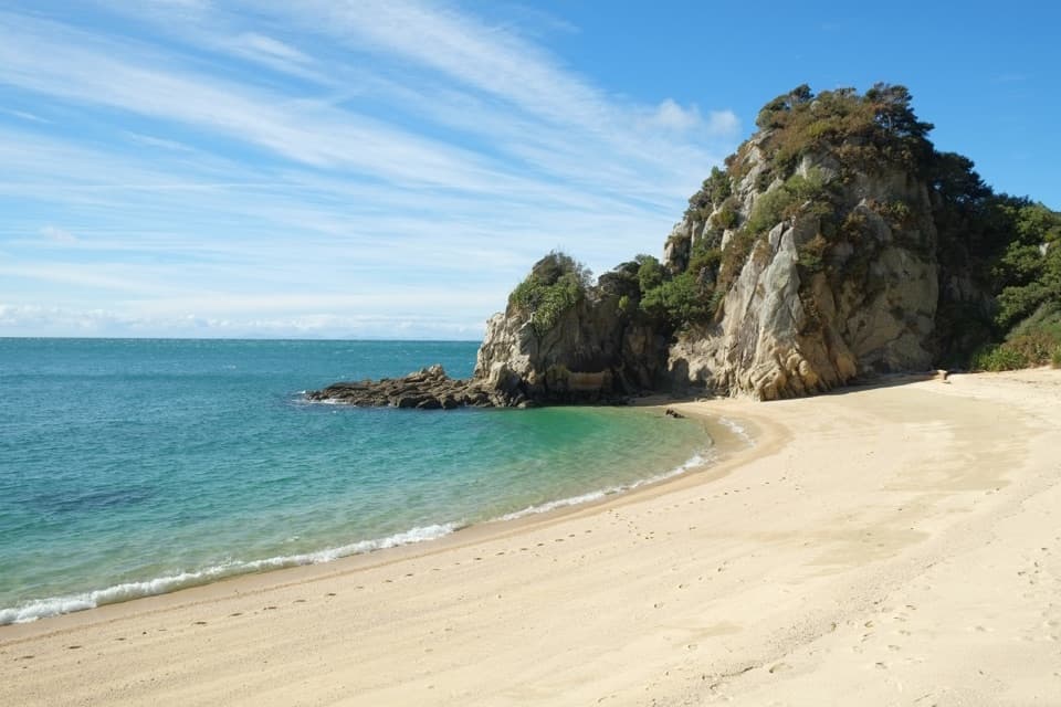 ModerateTōtaranui to Separation Point14.4 km · 4.5 hr · 5.5 km awayGolden beaches, nikau gullies, and a headland between two bays.
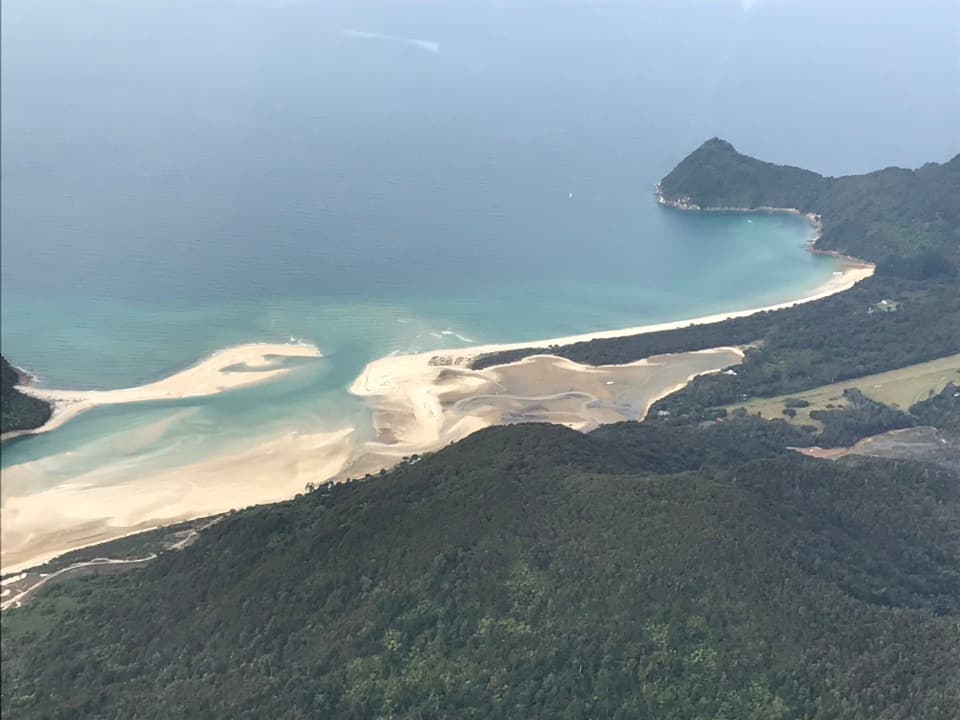 ModerateTōtaranui to Awaroa Bay9 km · 3 hr · 5.5 km awayA low-tide crossing turns this coast walk into a proper outing.
 ModerateTōtaranui to Anapai Bay6.4 km · 2.5 hr · 5.6 km awayA low saddle leads to Anapai’s divided beach and granite stacks.
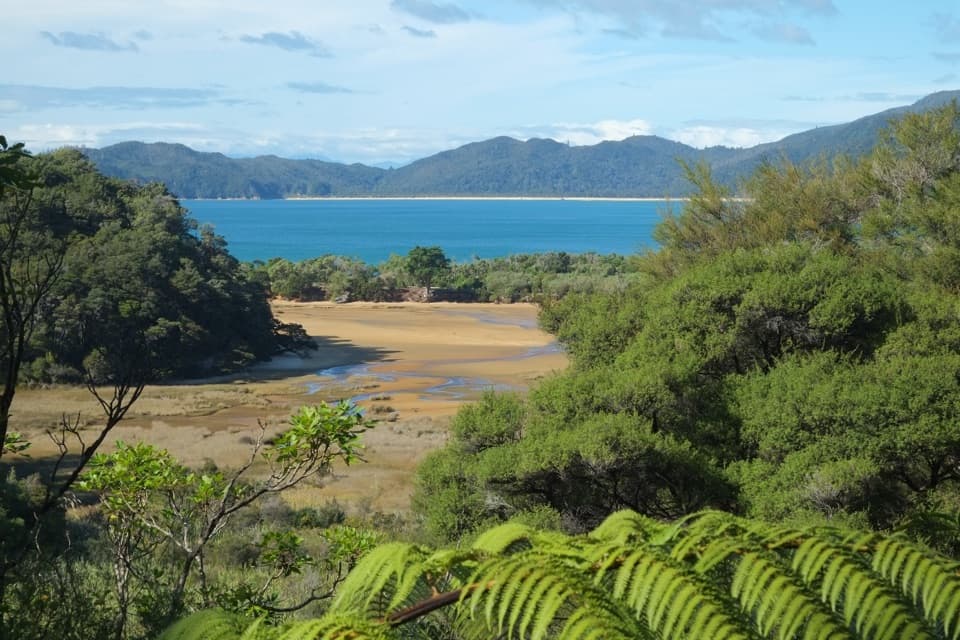 ChallengingGibbs Hill to Whariwharangi Bay Loop Track18.3 km · 5.5 hr · 5.6 km awayA steep ridge and a restored homestead reward the coastal loop.ModerateTōtaranui to Whariwharangi Bay9.8 km · 3.3 hr · 5.6 km awayBeach coves and kānuka headlands lead to a restored homestead.
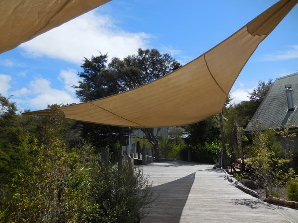 Lodging · At the trailheadAwaroa LodgeA proper meal at a remote lodge reached by boat or trail.
 Beach · 0.7 km awayAwaroa BeachGolden sandbanks, a tide-shaped inlet, and a beach saved for everyone.
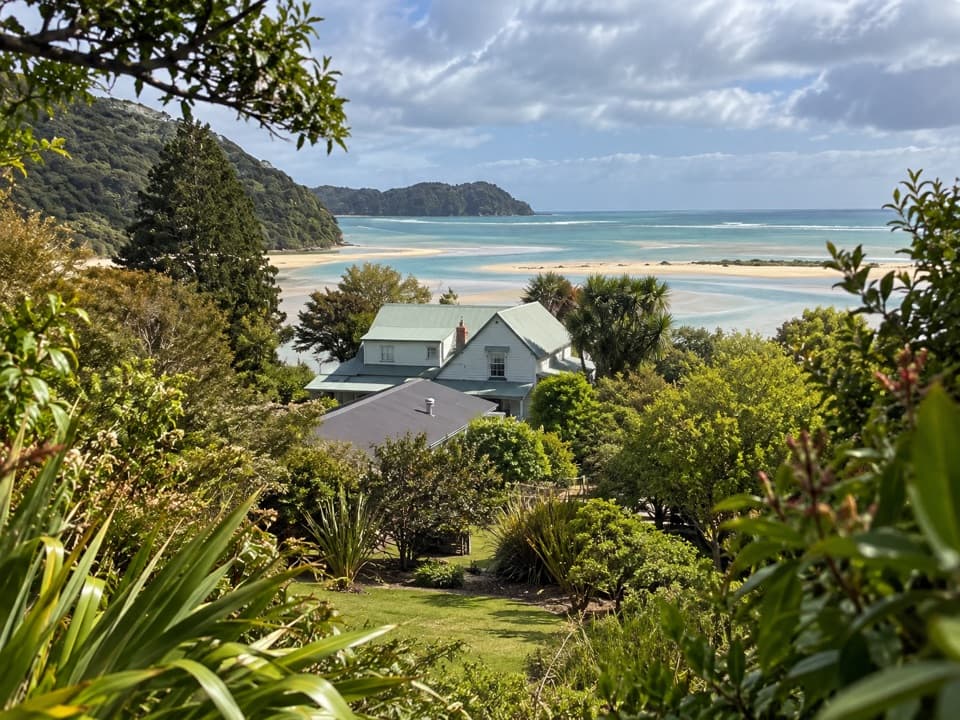 Lodging · 1.4 km awayMeadowbank Homestead at AwaroaA replica homestead lodge for multi-day Abel Tasman trips.
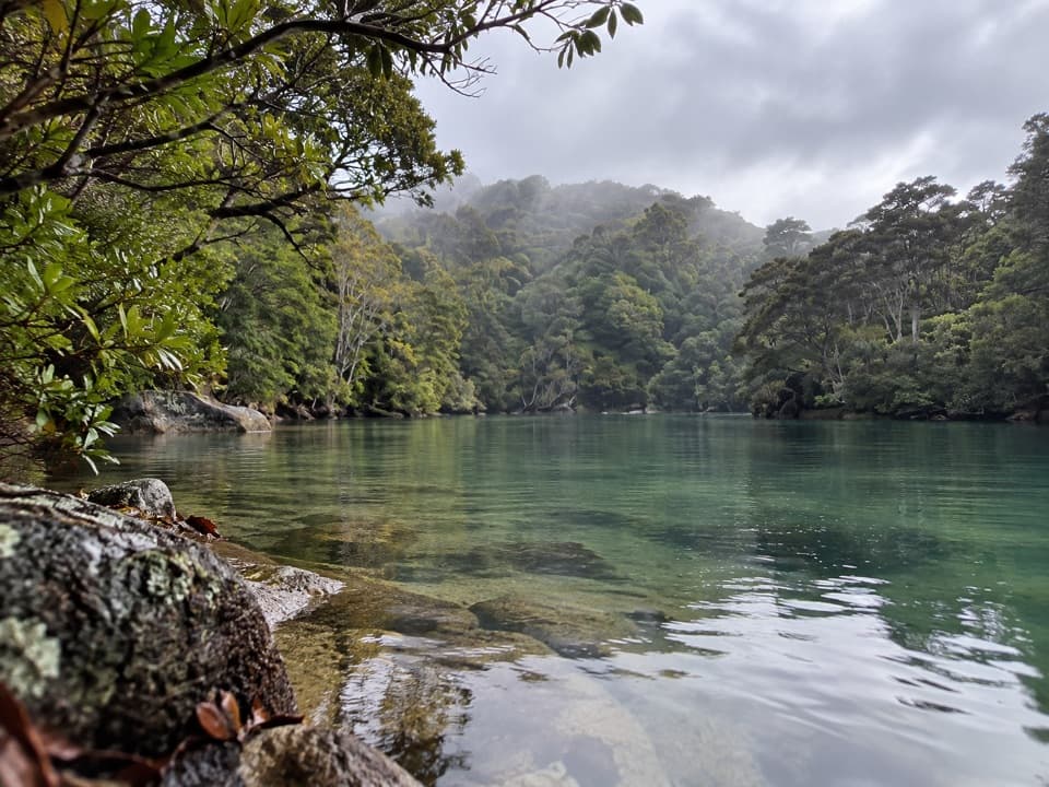 Sight · 2 km awayShag HarbourA sheltered inlet with a narrow, tide-sensitive entrance.
 Campground · 2 km awayAwaroa CampsiteAn 18-site estuary camp that catches good winter sun.
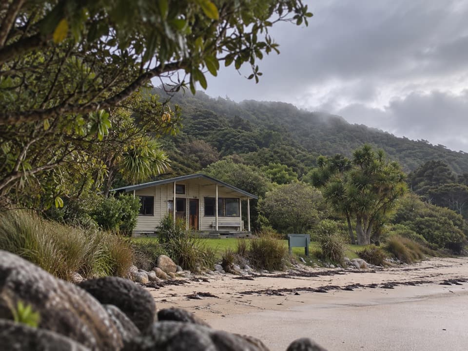 Lodging · 2.1 km awayAwaroa HutAn estuary-side Great Walk hut with a cold outdoor shower.
 Beach · 2.6 km awayOnetahuti BayA long beach with Tonga Island just offshore.
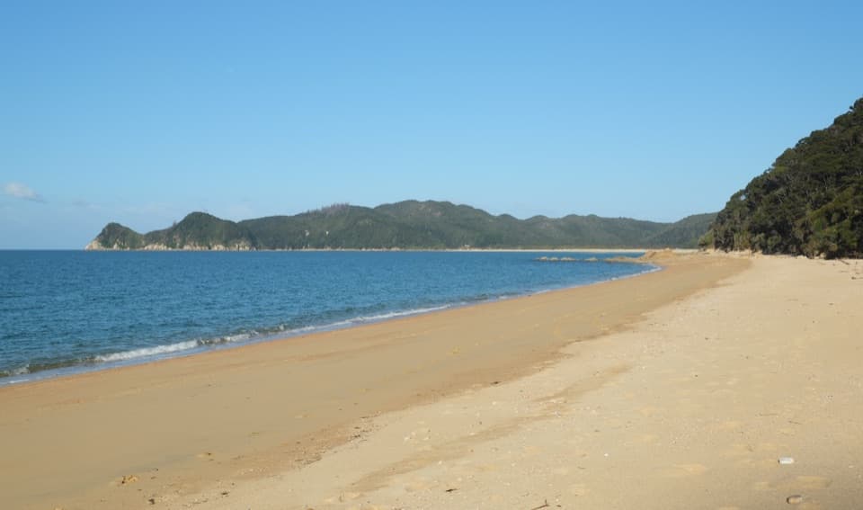 Campground · 2.7 km awayWaiharakeke BayA bush-fringed campsite a short walk from a sandy bay.
Parkwolf’s Abel Tasman ranking

The audio tour guide for the drive, plus offline maps, trails, and wildlife heatmaps for when the signal drops.



