Overview
About Anchorage
Why stop
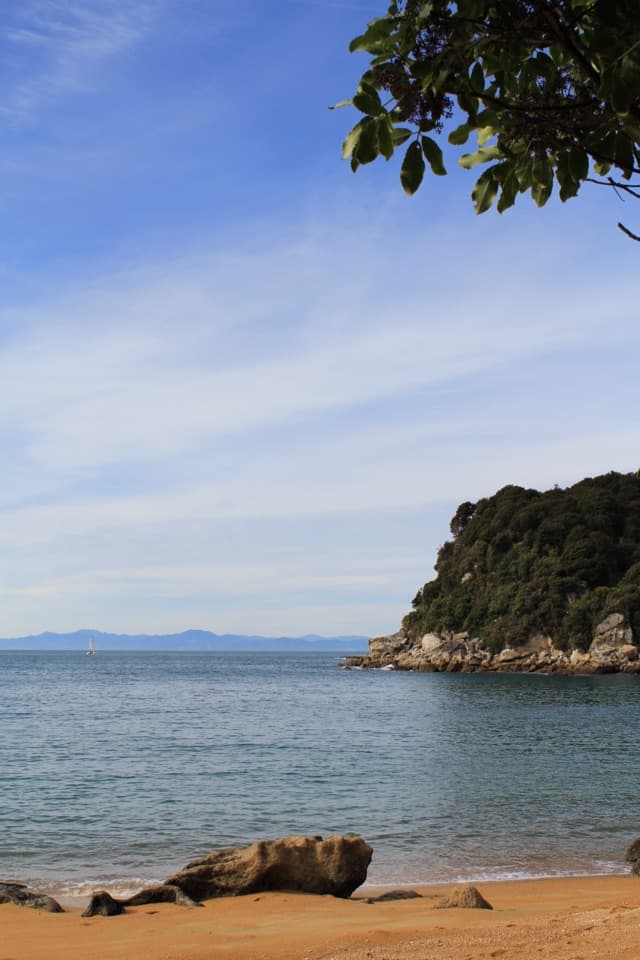
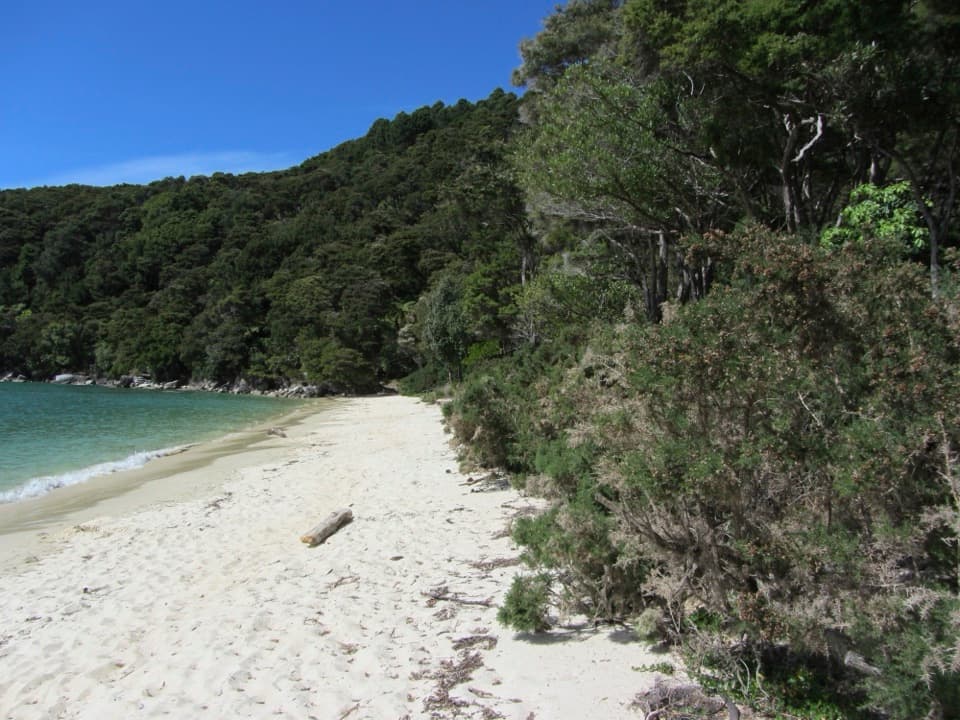
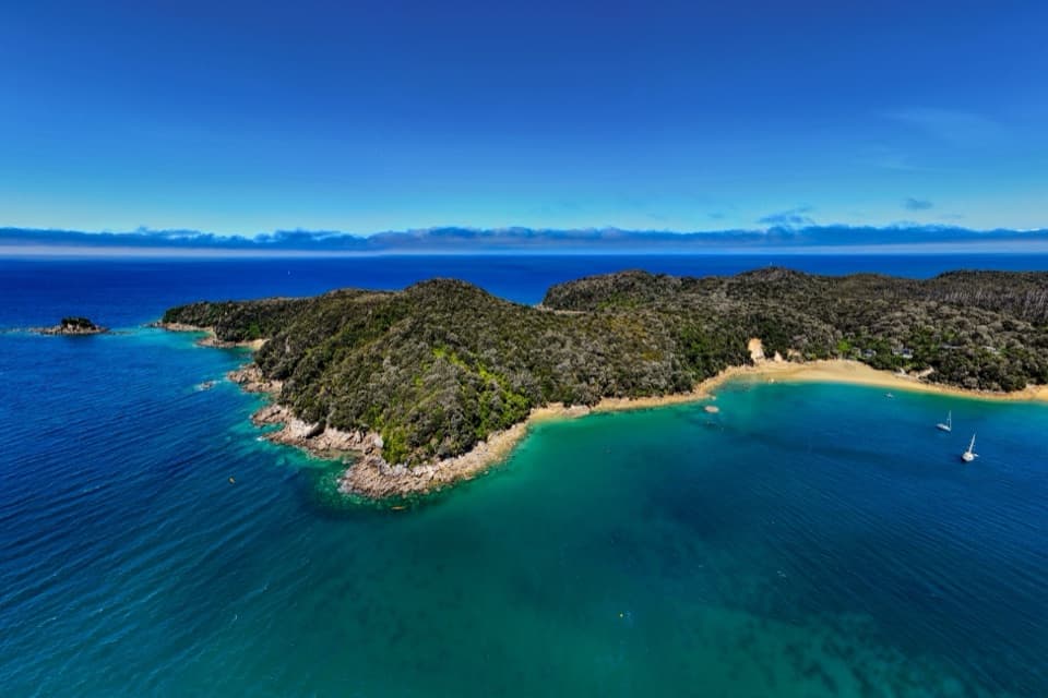
- Long beach in a sheltered, boat-filled bay
- Glowworm grottos at the west end after dark
Heads up
- Summer days can be busy
- Foot or boat access only
Map
Where it is

The highest, rockiest slopes around here are a summer buffet for grizzly bears.
Abel Tasman Tour Guide
Your drive to Anchorage, narrated.
Parkwolf is a GPS audio tour guide for Abel Tasman National Park. As you drive, it chimes in with what’s ahead: hidden gems, upcoming stops, history, geology, and wildlife, right through your car’s speakers.
More stories near here in the app
- Mārahau and Te Waharoa
- Abel Tasman Centre
- A Fern's Hidden Generation
- 23 audio storiesacross Abel Tasman’s roads, triggered by GPS as you drive
- Wildlife heatmapsfor Kea, New Zealand Fur Seal, Little Penguin, and 13 more
- Works offlinemaps, 43 trails, 65 places, and audio download before you lose signal
- CarPlay readysimple controls built for the drive
“Fantastic app with many points of information… It’s great to just turn on while you’re driving and it gives you an audio tour of the national Park. We love it!!!!”


Guide
More about Anchorage
The beach and campsiteAnchorage is a long sandy beach and a 50-site Department of Conservation tent campground on the…
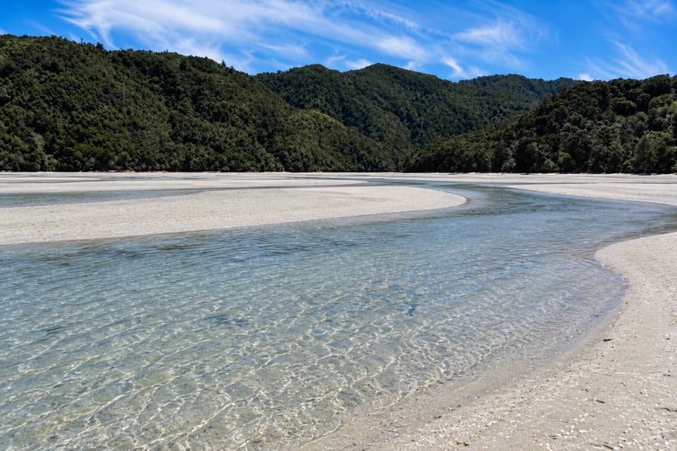
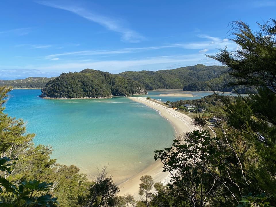
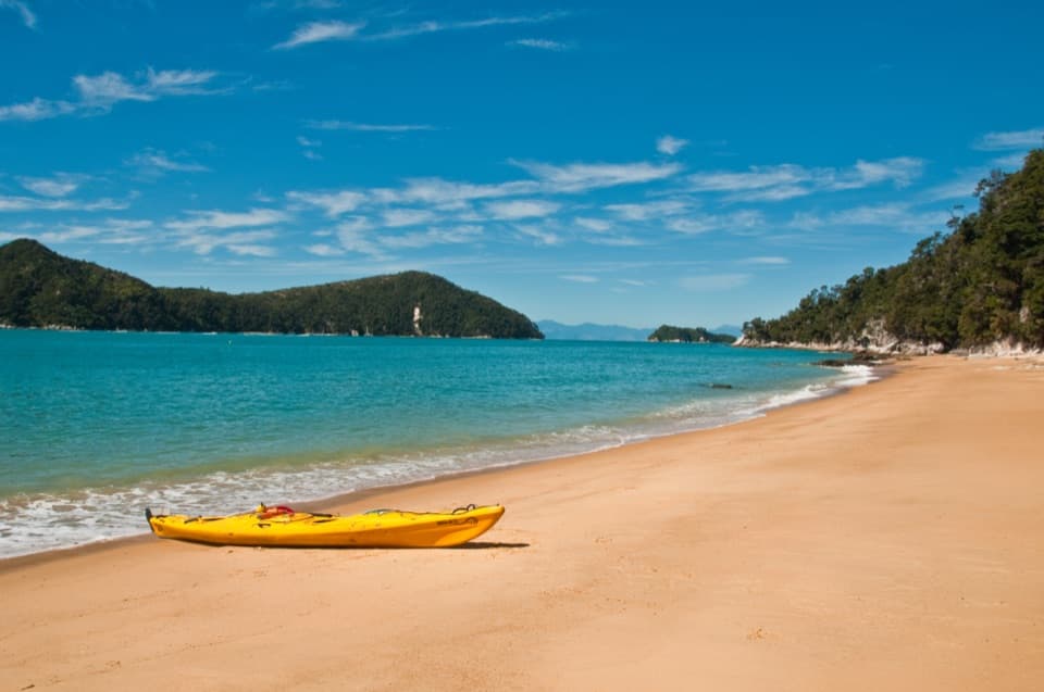
Anchorage is a long sandy beach and a 50-site Department of Conservation tent campground on the Abel Tasman Coast Track, tucked into a sheltered bay. The beach and short coastal walks make it one of the park's main stops, and summer is busy as water taxis collect kayakers and day walkers. For a day visit, take a water taxi here and walk south along the coast toward Mārahau; allow about four hours for the 12.4 km walk from Mārahau if you come on foot.
Getting in and campingThere is no road access to the campground. Book ahead for a non-powered tent site.
There is no road access to the campground. Book ahead for a non-powered tent site. Flush toilets, handwashing sinks and a fireplace are available, but there is no confirmed food service, so bring what you need. Potable water is not confirmed; carry drinking water or a treatment method. Dogs are not allowed, and fires are permitted only in designated fireplaces when no fire ban is in place. The DOC Campsite Pass is not accepted here.
Walks and the tideA short track leads to Te Pukatea, a crescent of sand beyond Pitt Head, and the Pitt Head loop…
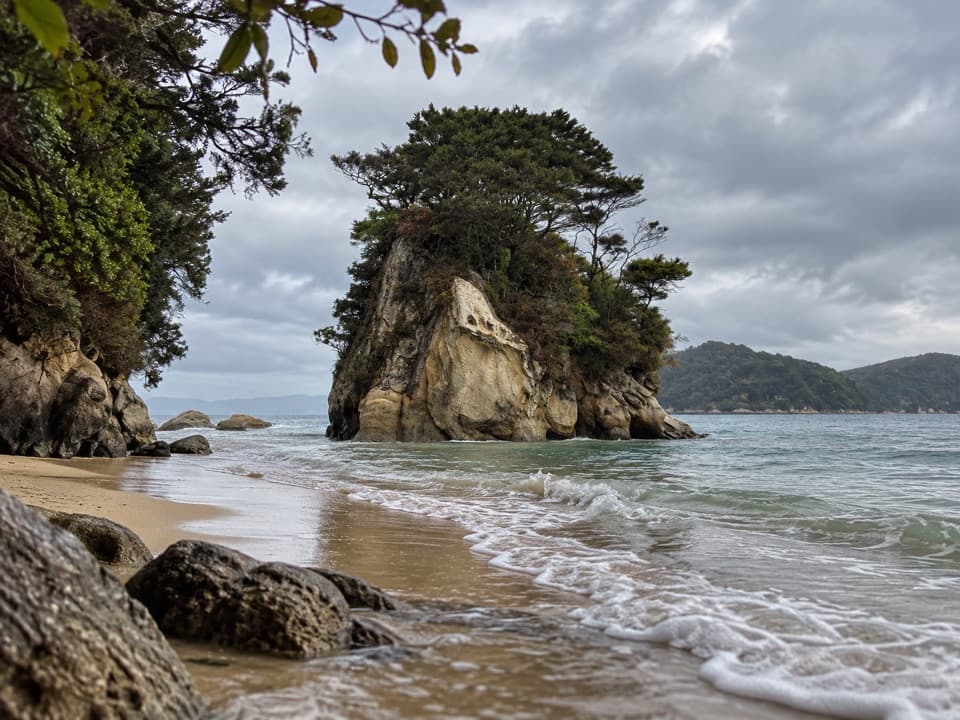
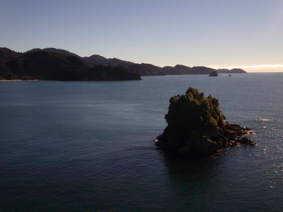
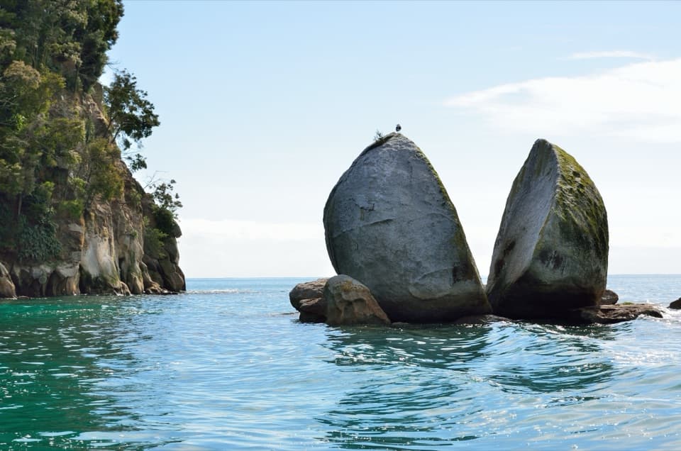
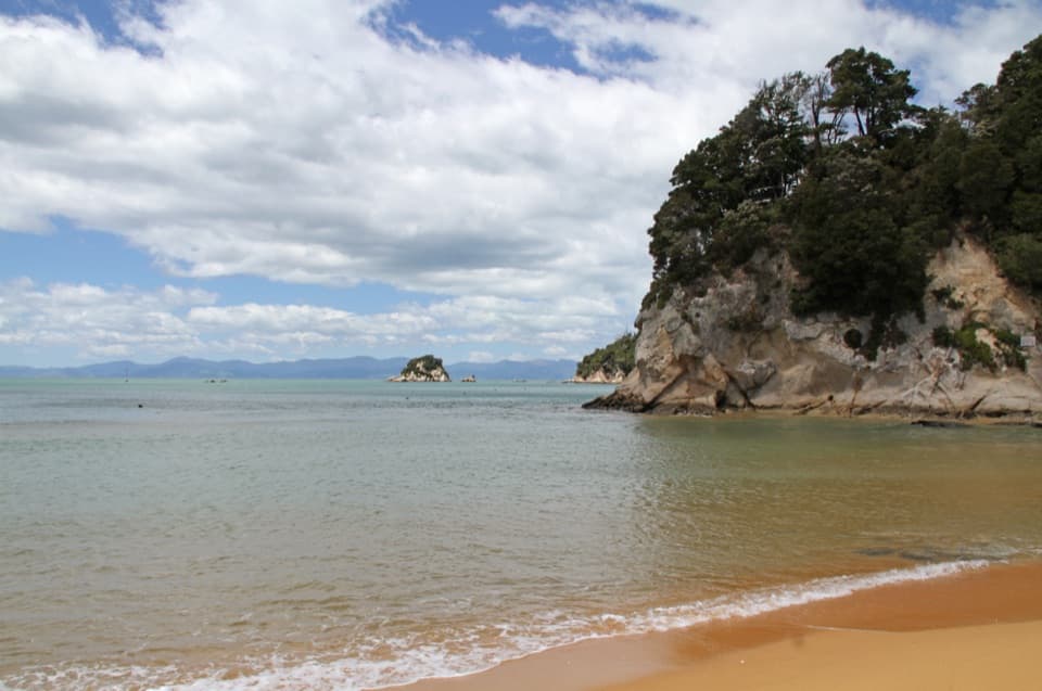
A short track leads to Te Pukatea, a crescent of sand beyond Pitt Head, and the Pitt Head loop opens up views along the coast. At low tide, look for the weathered rock shapes at the western end of the beach, including one that resembles an elephant. From the headland, frame the curve of the bay with the forested shore and boats to show how sheltered the anchorage is. If you continue toward Torrent Bay, check the tide: the estuary crossing takes about 20 minutes at low water, while the high-tide route around takes a little over an hour.
The grottos after darkThree small grottos sit at the western end of the beach.
Three small grottos sit at the western end of the beach. Glowworm larvae make points of blue-green light to draw insects into sticky threads, and cave wētā shelter in the dark. Take a torch, watch your footing near the water and mind the low ceilings. Titiwai, the Māori name for glowworms, refers to the lights reflected in water.
Granite under the sandThe park sits on Separation Point Granite, about 100 million years old.
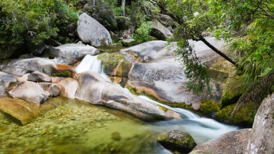
The park sits on Separation Point Granite, about 100 million years old. Its composition shapes the character of the forest and the colours of the beaches and stream beds, so the pale sand is part of the same geology as the headlands around it.
A sheltered anchorage with a working pastBoats have long used the bay for shelter, which is where the name Anchorage comes from.
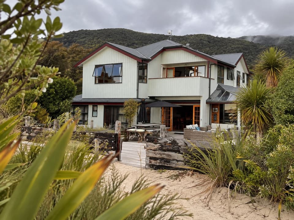
Boats have long used the bay for shelter, which is where the name Anchorage comes from. Historical accounts also call the beach Long Beach. Granite was quarried at its western end in the 1870s; stone went to the Port Nelson mole, opened in 1906, and cream-coloured sand was shipped to Wellington for building facades. By 1920, holiday baches stood at the southwest end of the beach.
Wildlife
Wildlife in Abel Tasman
 10 sightingsKeaMost seen around 10 AMSighting map
 54 sightingsNew Zealand Fur SealMost seen around 10 AMSighting map
 20 sightingsLittle PenguinMost seen around 9 PMSighting map
 21 sightingsSouth Island KākāMost seen around 5 PMSighting map
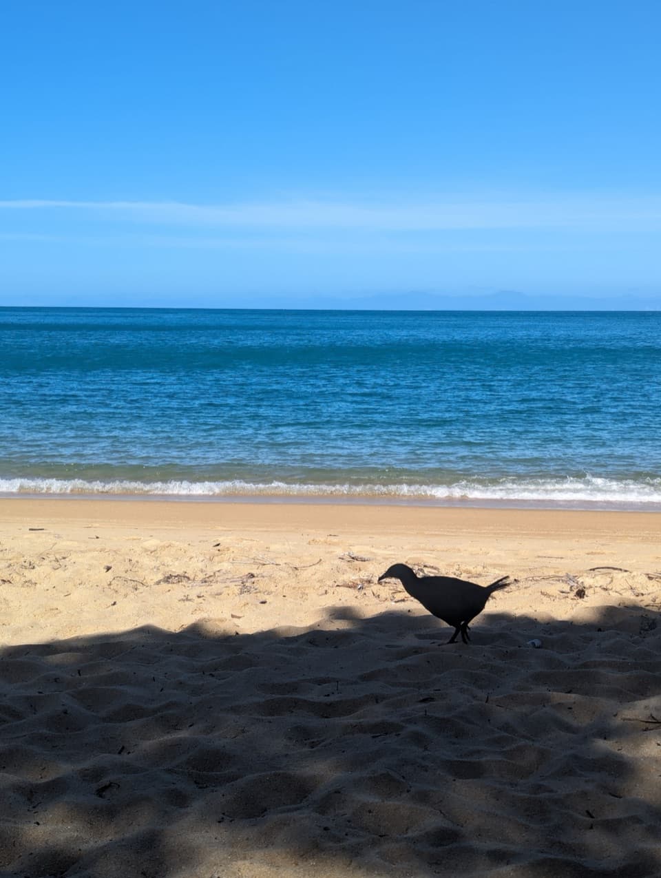
 526 sightingsWekaMost seen around 9 AMSighting map
 16 sightingsTūīMost seen around 7 AMSighting map
Sighting maps show where each species has been reported across Abel Tasman. Wildlife moves, so no sighting is guaranteed.