Overview
About Rākauroa /
Why stop
- Branching estuary channels make the Coast Track crossing distinctive.
- A village adds a different feel to this stretch of coast.
Heads up
- The shortest route is limited by the low-tide window.
Map
Where it is

The highest, rockiest slopes around here are a summer buffet for grizzly bears.
Abel Tasman Tour Guide
Your drive to Rākauroa /
Parkwolf is a GPS audio tour guide for Abel Tasman National Park. As you drive, it chimes in with what’s ahead: hidden gems, upcoming stops, history, geology, and wildlife, right through your car’s speakers.
More stories near here in the app
- Mārahau and Te Waharoa
- Abel Tasman Centre
- A Fern's Hidden Generation
- 23 audio storiesacross Abel Tasman’s roads, triggered by GPS as you drive
- Wildlife heatmapsfor Kea, New Zealand Fur Seal, Little Penguin, and 13 more
- Works offlinemaps, 43 trails, 65 places, and audio download before you lose signal
- CarPlay readysimple controls built for the drive
“Fantastic app with many points of information… It’s great to just turn on while you’re driving and it gives you an audio tour of the national Park. We love it!!!!”


Guide
More about Rākauroa /
A bay that changes with the tideRākauroa / Torrent Bay is a sandy bay and tidal estuary on Abel Tasman’s Coast Track, beside…
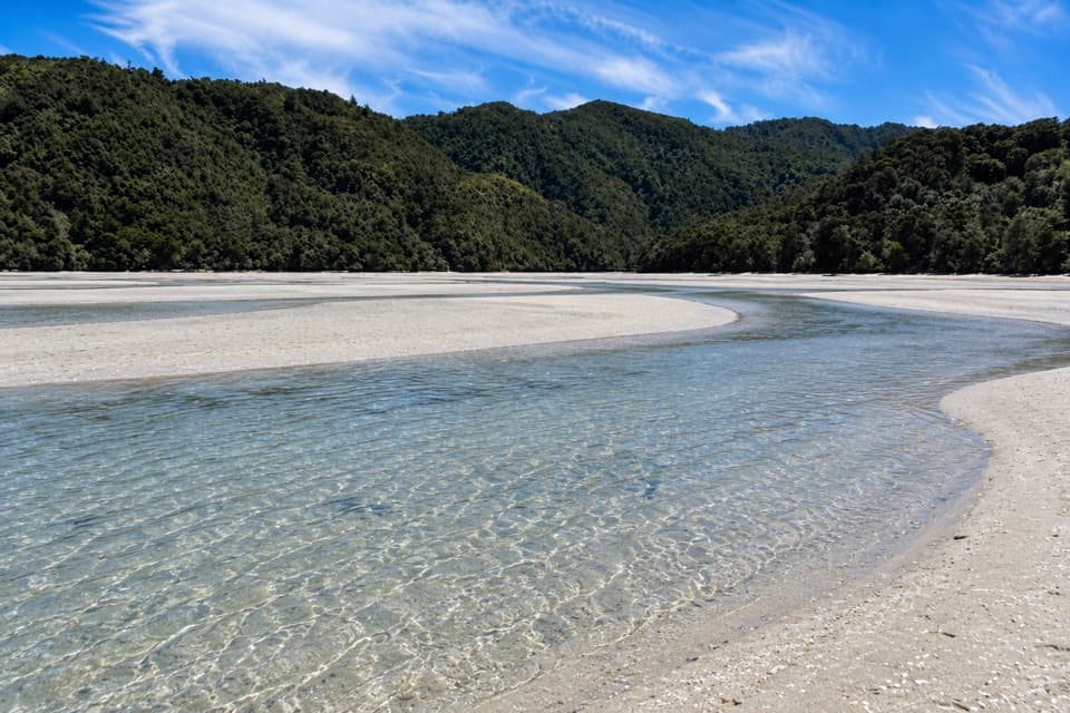
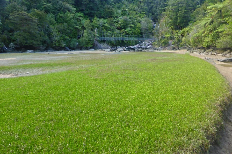
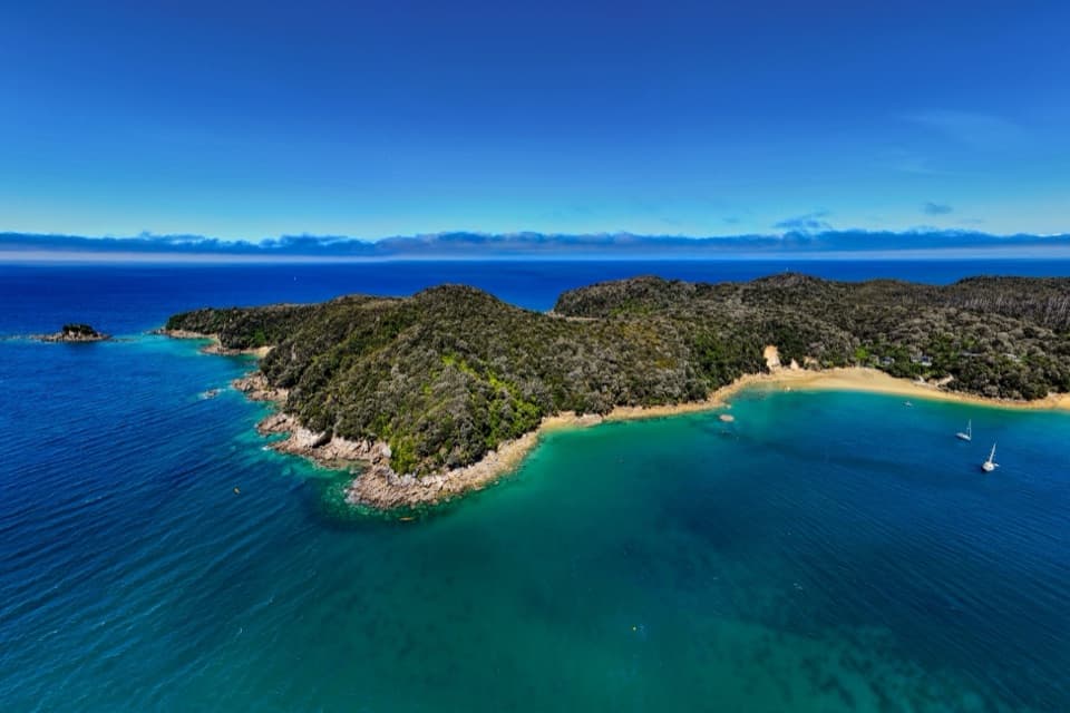
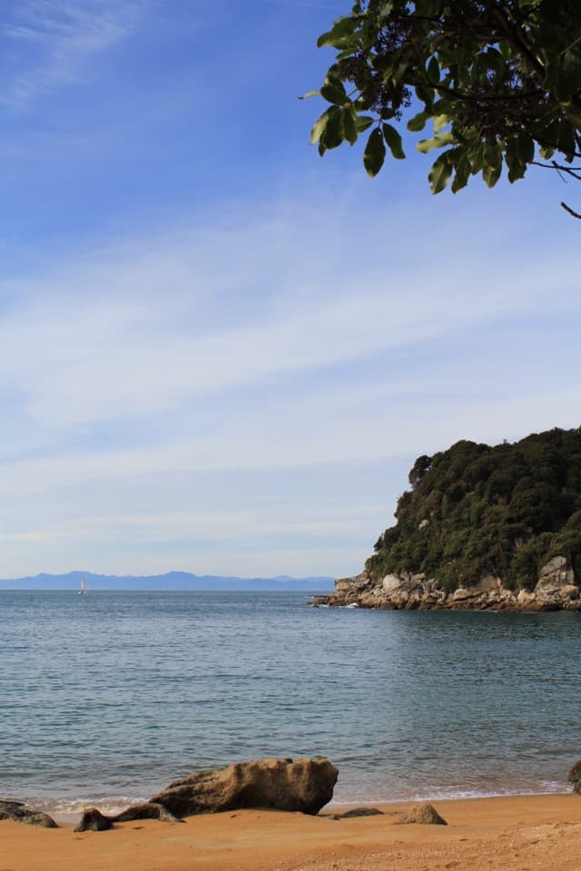
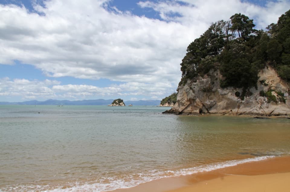
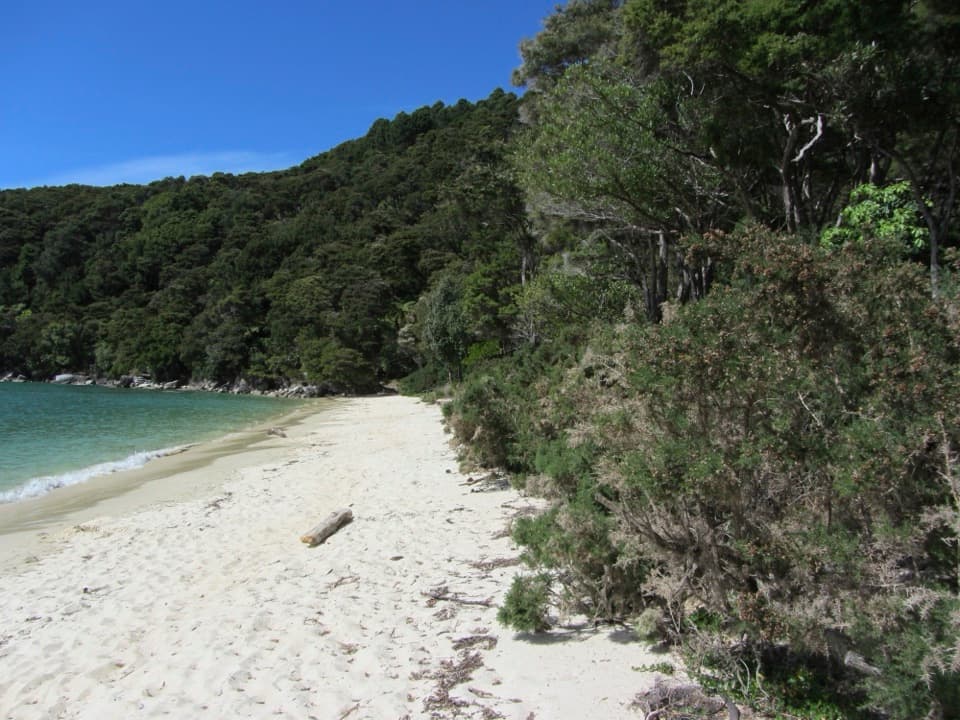
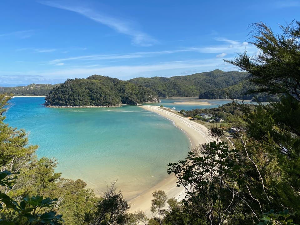
Rākauroa / Torrent Bay is a sandy bay and tidal estuary on Abel Tasman’s Coast Track, beside the park’s largest cluster of privately owned holiday homes. At low water, broad flats and branching channels emerge across the inlet; at high water, it becomes a sheltered sweep under forested headlands. The shoreline is the point here, and the tide changes how the walk feels.
Time the crossingThe direct Coast Track crossing is passable only within two hours either side of low tide in…
The direct Coast Track crossing is passable only within two hours either side of low tide in normal conditions. Between Anchorage and Bark Bay, the low-water route is 8.4 km and about three hours; the all-tide track around the inlet is 11.5 km and about four. Check tide information and conditions before leaving Anchorage. If you are outside the crossing window, take the longer track.
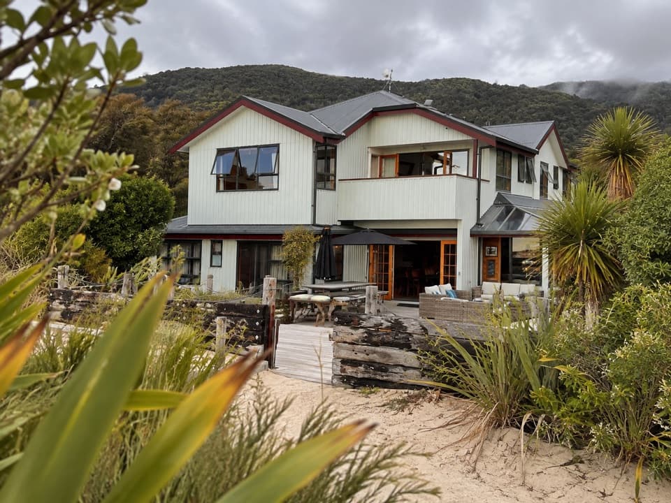
The village is private, the route is publicThe Coast Track passes through the privately owned holiday-house settlement.
The Coast Track passes through the privately owned holiday-house settlement. The houses are on private land within the park’s coastal landscape, so stay on the public through-route. There is no road access; reach the bay on foot or by boat. Torrent Bay is not a scheduled public pickup point, so confirm transport arrangements before planning a one-way walk around a boat ride.
A working valleyDr Ralph Richardson bought about 800 acres around Torrent Bay between 1854 and 1857.
Dr Ralph Richardson bought about 800 acres around Torrent Bay between 1854 and 1857. Granite was quarried here in the 1870s, and a tramline once ran up the valley. By the early 1900s, local people already came here for New Year recreation, including a sailing regatta and races on shore.
The names carry two historiesRākauroa is glossed as “tall trees”; the dual Māori and English name pairs it with Torrent Bay.
Rākauroa is glossed as “tall trees”; the dual Māori and English name pairs it with Torrent Bay. French explorer Jules Dumont d’Urville named the bay during his 1827 mapping voyage.
Camping is separate from the bayThe DOC Torrent Bay Village Campsite is a separate walk-in facility near the settlement’s…
The DOC Torrent Bay Village Campsite is a separate walk-in facility near the settlement’s southern end, about 400 m from the shore access. It has pit-latrine toilets and untreated water, so campers should treat the water before drinking. The campsite sits back from the estuary; its pin is not the right place to navigate for the bay itself.
Photograph the changing shorelineAt low water, frame the branching channels with the green headlands behind them; the lines make…
At low water, frame the branching channels with the green headlands behind them; the lines make the breadth of the crossing visible. At high water, let the curve of the beach lead into the sheltered inlet.
Wildlife
Wildlife in Abel Tasman
 10 sightingsKeaMost seen around 10 AMSighting map
 54 sightingsNew Zealand Fur SealMost seen around 10 AMSighting map
 20 sightingsLittle PenguinMost seen around 9 PMSighting map
 21 sightingsSouth Island KākāMost seen around 5 PMSighting map
 526 sightingsWekaMost seen around 9 AMSighting map
 16 sightingsTūīMost seen around 7 AMSighting map
Sighting maps show where each species has been reported across Abel Tasman. Wildlife moves, so no sighting is guaranteed.