1 active Abel Tasman alert
- ClosureRoad resealing closures near Kaiteriteri, 29–30 OctoberExpect rolling closures on roads near Kaiteriteri from 6am to 8pm on Thursday 29 and Friday 30 October while crews reseal the roads.Official details
Lodging · Abel Tasman National Park
A 34-bunk beachside stop with a one-hour Pitt Head loop.
Overview
Map
Plan your stop

The highest, rockiest slopes around here are a summer buffet for grizzly bears.
Abel Tasman Tour Guide
Parkwolf is a GPS audio tour guide for Abel Tasman National Park. As you drive, it chimes in with what’s ahead: hidden gems, upcoming stops, history, geology, and wildlife, right through your car’s speakers.
More stories near here in the app
“Fantastic app with many points of information… It’s great to just turn on while you’re driving and it gives you an audio tour of the national Park. We love it!!!!”


Guide
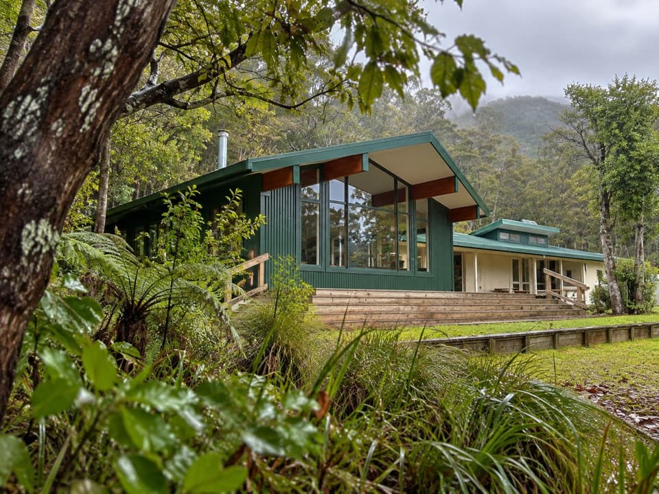
Anchorage Hut is a bookable, 34-bunk Department of Conservation hut on the Abel Tasman Coast Track, set among trees just behind Anchorage beach. It suits walkers wanting an indoor night beside the coast: from Mārahau, the walk is about 12.4 km and four hours, or you can arrive by water taxi. Reserve a bed before setting out; Coast Track huts and campsites require bookings year-round.
Four bunkrooms share a bright kitchen and dining room that opens onto a timber deck. Bring a sleeping bag, food, a portable stove and fuel, and candles: there are no gas cooking facilities or lights, and nothing is sold along the track. Water at the hut is untreated, so boil it before drinking. The hut has flush toilets.
A roughly one-hour loop starts across the campsite, passes through regenerating kānuka forest, then drops to Te Pukatea Bay and climbs to Pitt Head lookout. It makes Anchorage a useful base for another short coastal walk. The tent campsite nearby is a separate facility, and its visitors cannot use the hut facilities.
The present hut opened in October 2013 on the site of an earlier hut. Its wide glazed common room, deck and outdoor tables make the shared space part of the stay, with native coastal trees close around the building.
Wildlife
 10 sightingsKeaMost seen around 10 AMSighting map
 54 sightingsNew Zealand Fur SealMost seen around 10 AMSighting map
 20 sightingsLittle PenguinMost seen around 9 PMSighting map
 21 sightingsSouth Island KākāMost seen around 5 PMSighting map
 527 sightingsWekaMost seen around 9 AMSighting map
 16 sightingsTūīMost seen around 7 AMSighting map
Sighting maps show where each species has been reported across Abel Tasman. Wildlife moves, so no sighting is guaranteed.
Keep exploring
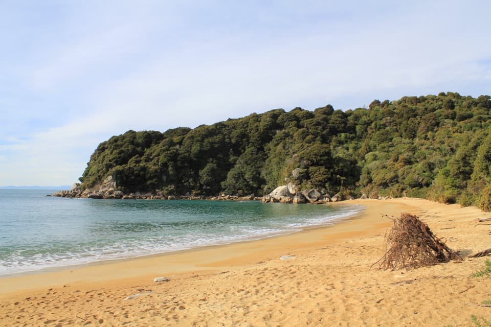 ModerateAnchorage to Bark Bay11.5 km · 4 hr · At the trailheadCoastal ridgelines, a 47-metre bridge, and a low-tide shortcut.
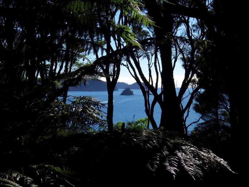 ModeratePitt Head Loop Track3.2 km · 1.5 hr · 0.2 km awayA short headland loop with a crescent beach and open coastal views.
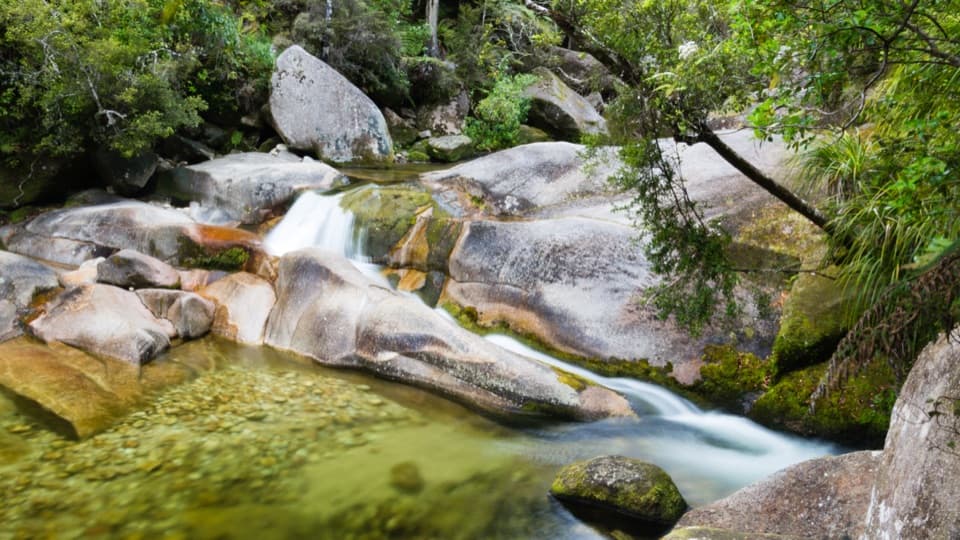 EasyCleopatra's Pool Track0.9 km · 24 min · 1.4 km awayA moss-lined natural slide waits beyond a short forest spur.
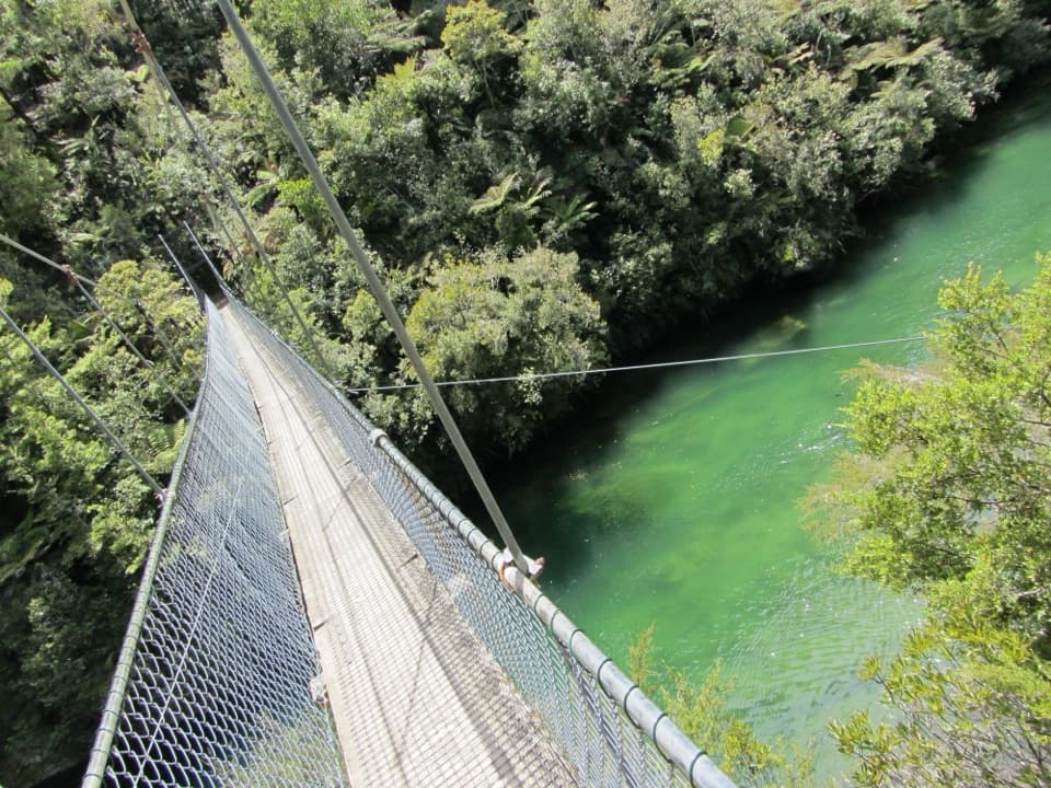 ModerateTorrent Bay to Bark Bay7.8 km · 2.5 hr · 1.4 km awayA ridge, a 47-metre swingbridge and a beach reshaped by tides.
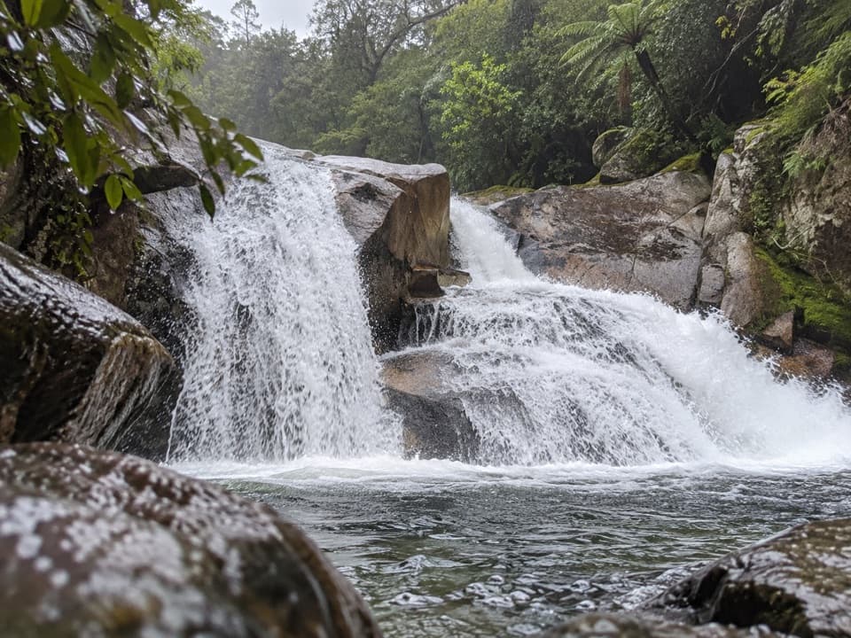 ModerateCascade Falls Track2.6 km · 1 hr · 1.7 km awayA steep forest spur to a waterfall hidden off the Coast Track.
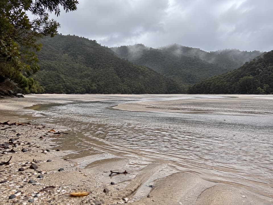 ModerateFalls River Track7 km · 3 hr · 1.8 km awayA steep climb to blue pools beyond the Cascade Falls spur.
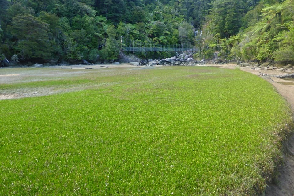 EasyBark Bay Waterfall Trail4 km · 1 hr · 4 km awayA short forest walk to a waterfall and a suspension bridge.
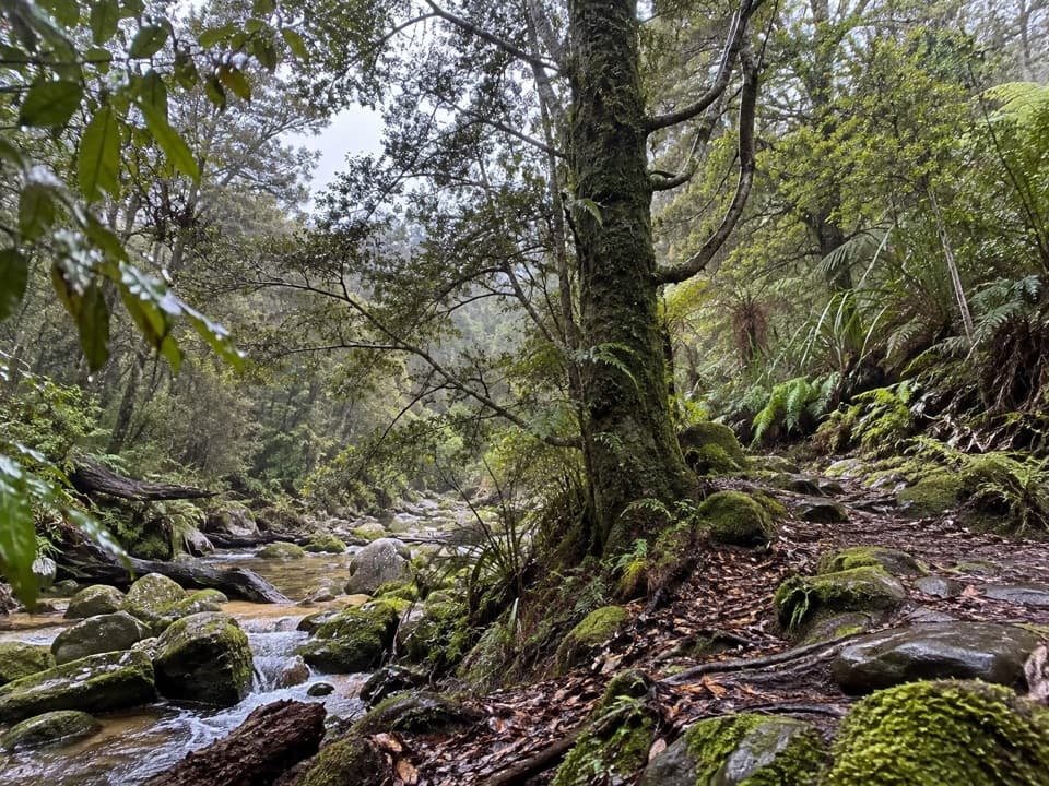 EasyTinline Bay Nature Walk1 km · 20 min · 4.5 km awayA short forest loop follows Tinline Creek to an unusual tree.
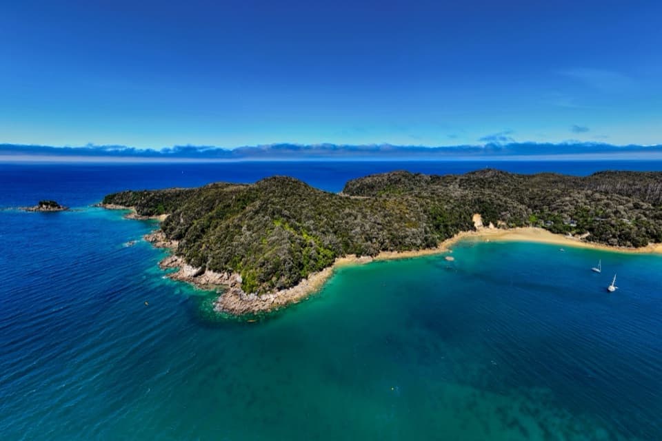 Campground · At the trailheadAnchorageA sheltered beach with campsites, boats and glowworm grottos.
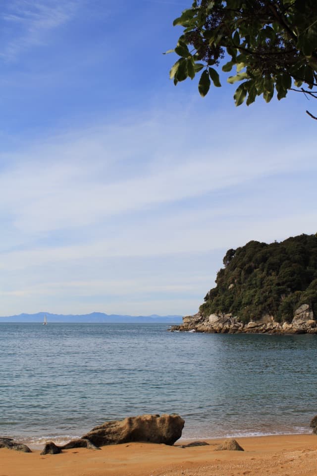 Beach · 0.7 km awayTe Pukatea BayA quiet cove with a small walk-in camp behind its crescent beach.
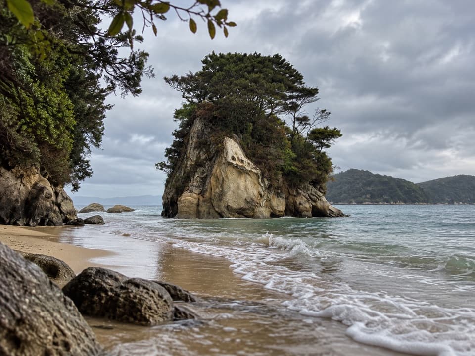 Campground · 0.8 km awayWatering Cove CampsiteCamp beside the beach where D’Urville’s crew collected fresh water
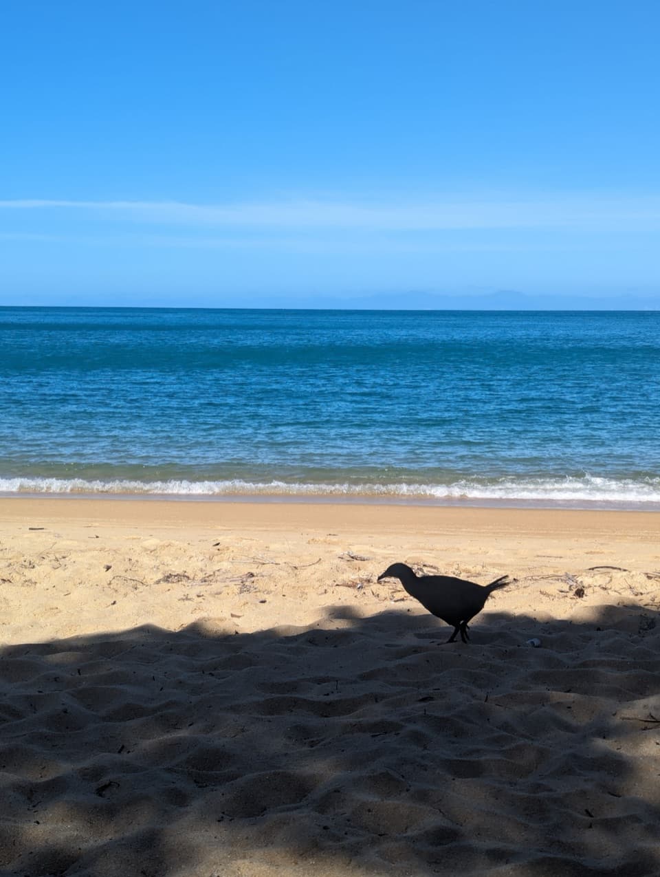 Beach · 1.1 km awayObservation BeachSix tent sites beside a sandy cove on the Coast Track.
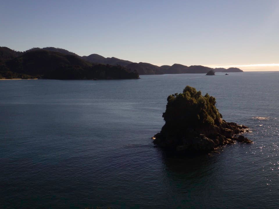 Sight · 1.1 km awayPitt Head LookoutA headland lookout above Torrent Bay, reached by a forested loop.
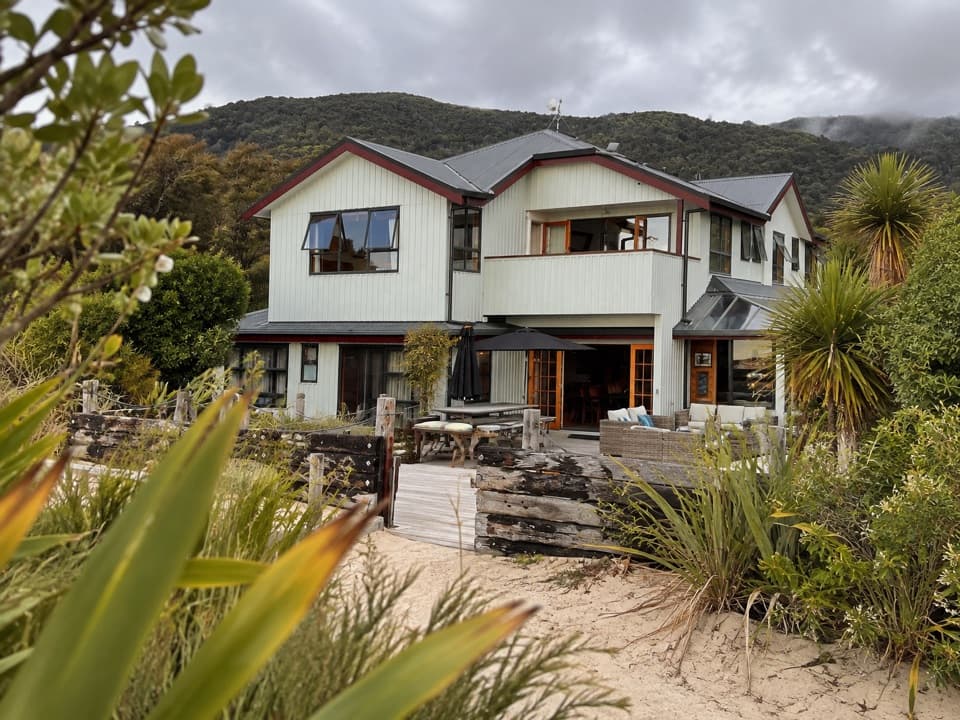 Lodging · 1.4 km awayTorrent Bay LodgeA beachside stay on Wilsons’ walking, kayaking and cruise trips.
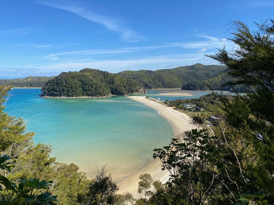 Beach · 1.4 km awayRākauroa / Torrent BayA tidal crossing beside a village on the Coast Track.
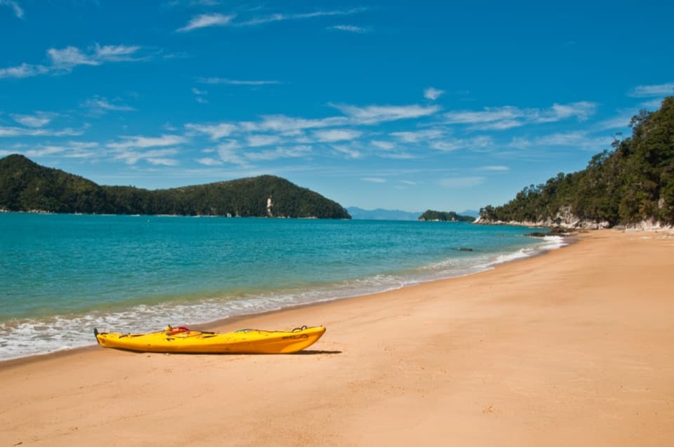 Beach · 1.5 km awayCyathea CoveA sandy pause with islands spread across Astrolabe Roadstead
Parkwolf’s Abel Tasman ranking

The audio tour guide for the drive, plus offline maps, trails, and wildlife heatmaps for when the signal drops.