Pros & cons
PROS
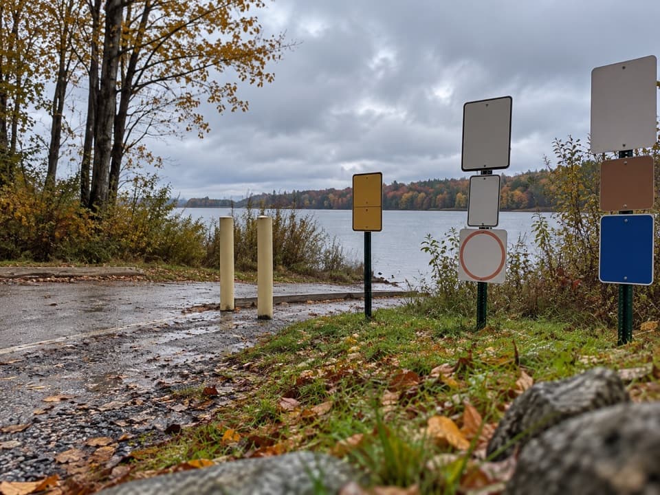
- Consistently quiet compared to busier Acadia routes
- Strategic junction to extend onto Mansell or Bernard without crowds
CONS
- Limited views at the notch despite the climb
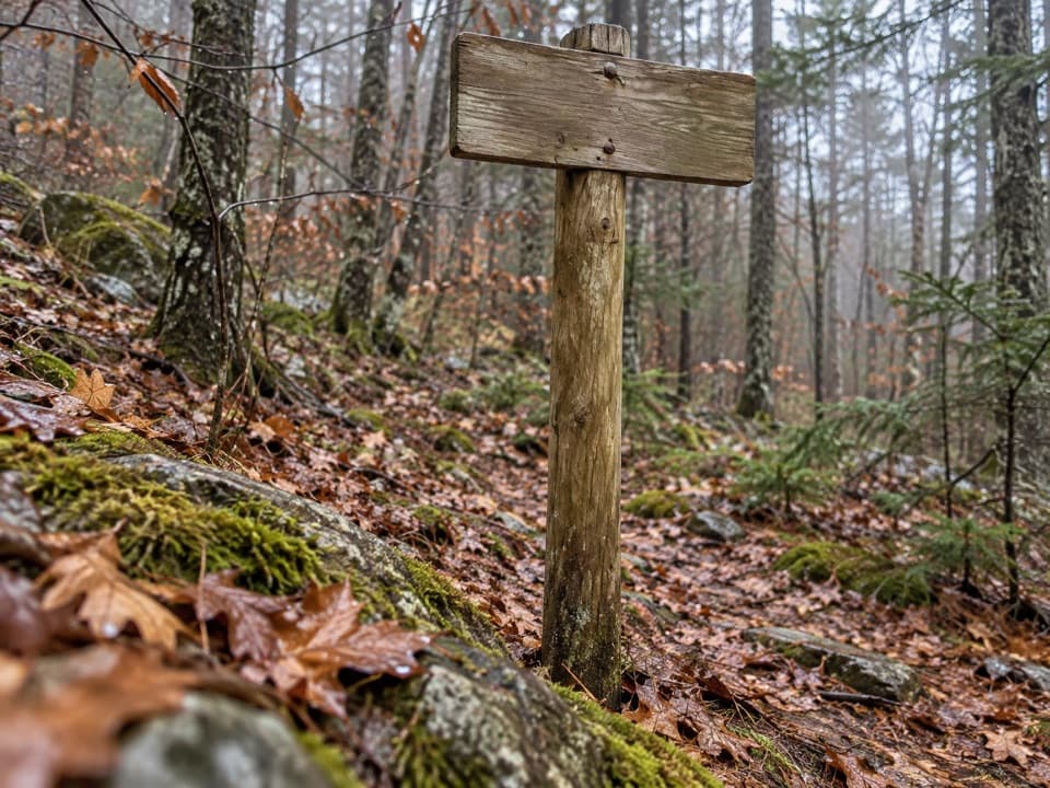
- Signage can be sparse at junctions—easy to miss a turn
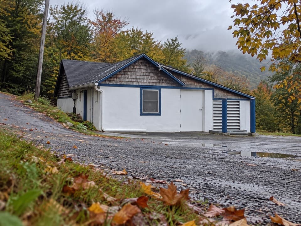
Park at the north end of Long Pond off Pretty Marsh Road; the trailhead is near the Long Pond outlet on the park’s west side.
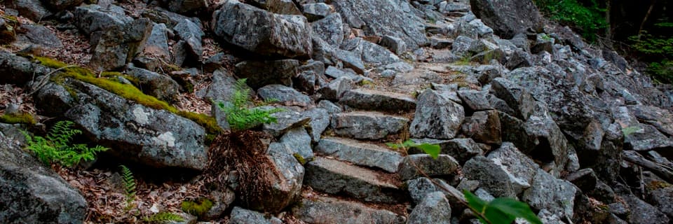
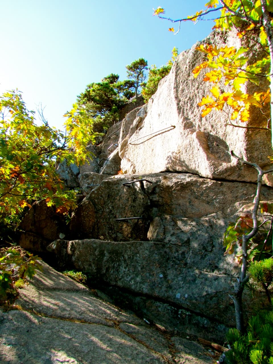
Rocky, uneven footing and granite steps; ticks are common; winter ice makes sections hazardous; junction signposting can be sparse—carry a map.
Why hike it
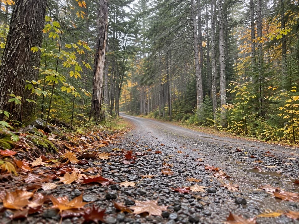
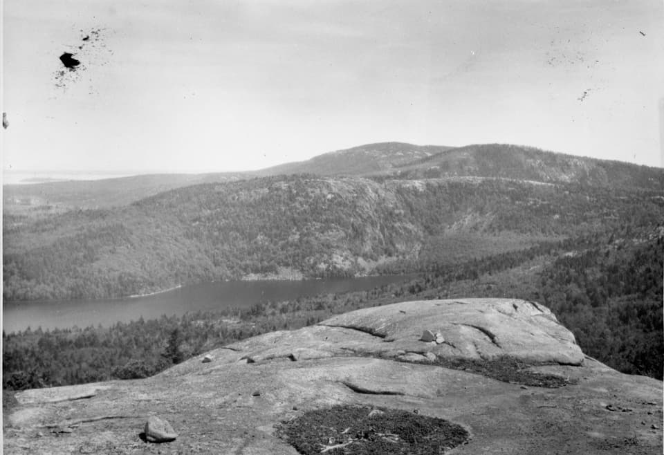
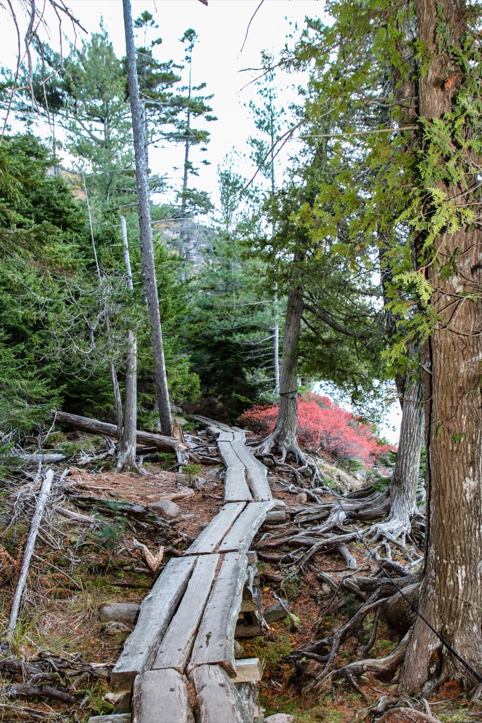
If you crave Acadia’s quieter side, Great Notch Trail delivers a mellow, woodsy workout and welcome solitude. It climbs through dense forest from the north end of Long Pond to a wooded saddle between Mansell Mountain and Bernard Mountain. Expect a classic Acadia footpath: rocks, roots, granite stairs, and steady grade—without dramatic cliff exposure or sweeping vistas.
The route and effort
The trail runs about 2.1 miles one way (point‑to‑point), with roughly 469 ft of elevation gain as you ascend to the notch. Most hikers take about an hour one way in good conditions. It’s commonly woven into longer loops using nearby trails, but on its own it’s a straightforward forest hike: climb to the notch, explore the junctions, and return the way you came—or continue onto Mansell or Bernard if you want more.
Scenery and feel
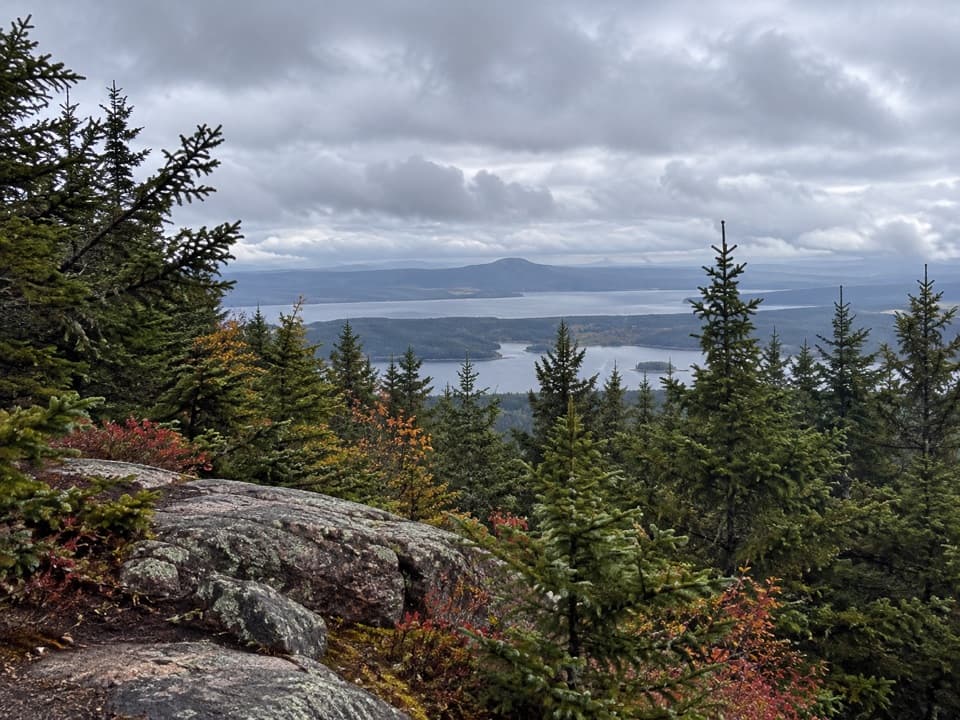
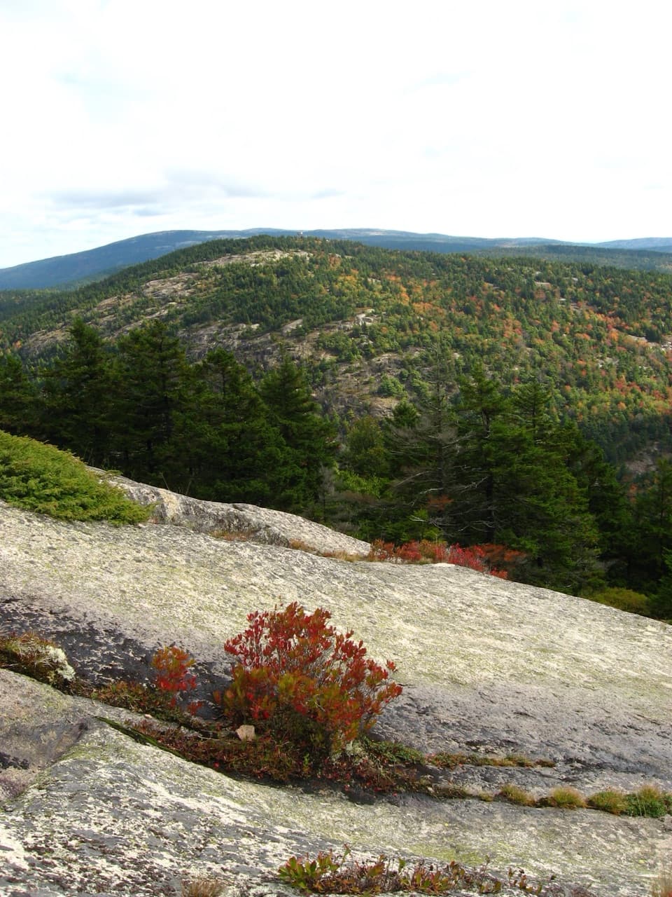
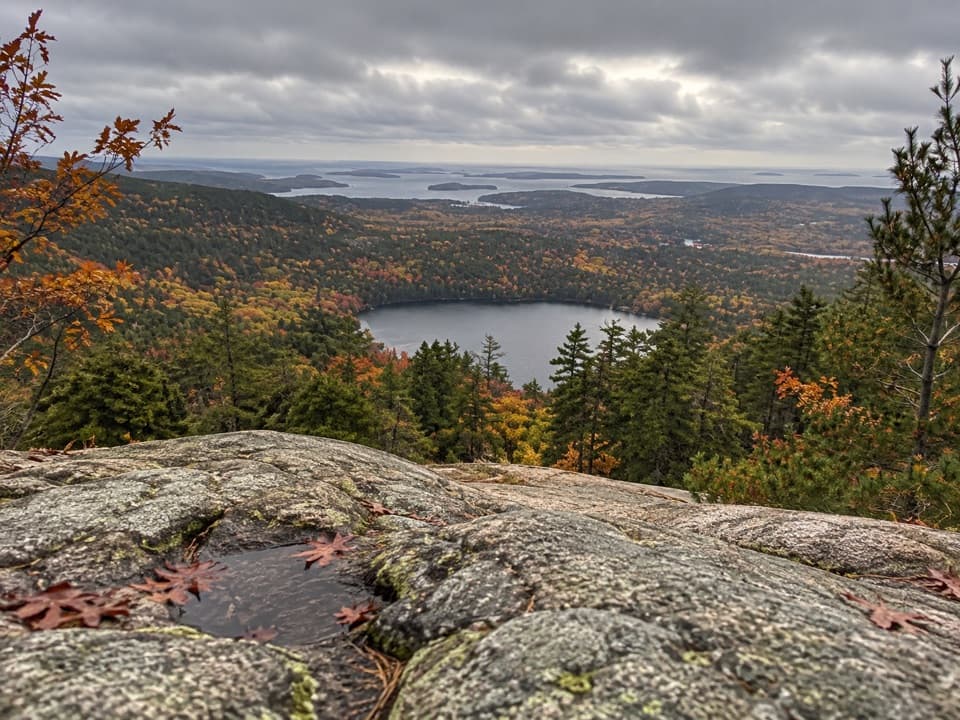
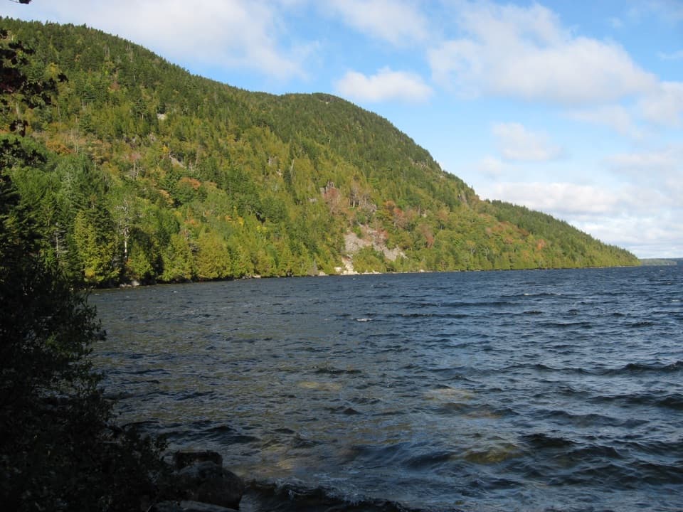
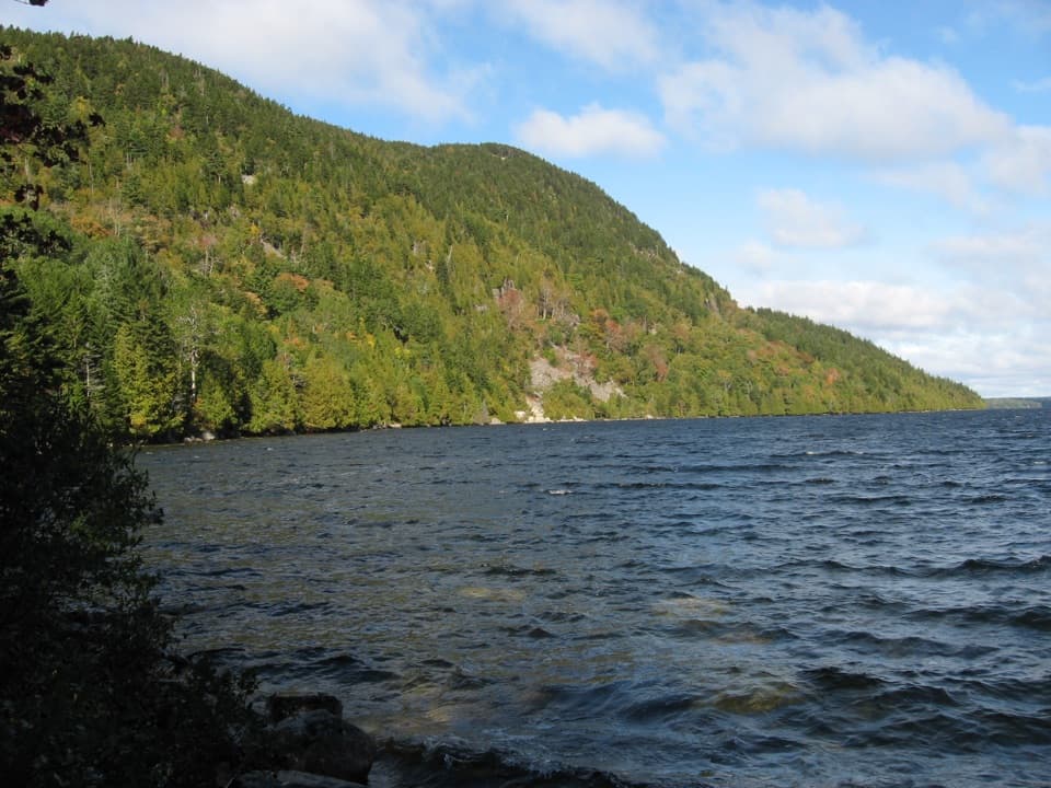
You’ll start near Long Pond with occasional water glimpses, then slip into quiet woods. The north side features a well‑built staircase climbing toward the notch. The Great Notch itself is a forested pass—more serene than scenic—so manage expectations if you’re chasing big views. What you do get: birdsong, glacially carved granite underfoot, boulders tucked among trees, and the sense you picked a path most visitors skip.
Who will like it (and who won’t)
Hikers who enjoy a peaceful woodland climb on rock-and-root tread will be happy here. Beginners may find the uneven surface and sustained grade tiring, and view‑hunters will likely prefer continuing on to Mansell or Bernard via the junctions at the notch.
Tips and logistics
- Length reminder: 2.1 miles one way; double it for an out‑and‑back. Add time if you continue to nearby peaks.
- Footing: Granite steps, rocky stretches, and roots—wear real hiking shoes.
- Navigation: Multiple trail junctions meet at the notch; bring a map. Cell service can be unreliable.
- Seasonality: Spring can be muddy. Summer and early fall are the sweet spot. In winter, snow/ice make the rocks slick—traction devices recommended if it’s icy.
- Health and safety: This is tick country—treat clothing and do a thorough check after your hike.
Best time to hike
Summer through early fall offers the driest tread and easiest conditions. Weekdays and early mornings maximize the solitude. Spring is fine if you don’t mind wet sections. Winter is open but only advisable with proper traction and caution on icy granite.
Elevation
2.1 mi · 1 hrWhere it starts
44.3547, -68.3630Near Great Notch Trail
All places →All trails →
2 mi awayLong PondLong, quiet lake for easy paddling with mountain-framed viewsTrailhead · Parking
2.2 mi awayEcho LakeFreshwater swim with cliff views and an easy beach dayTrailhead · Restroom
2.5 mi awayAcadia National Park Picnic AreaQuiet, west-facing picnic spot with pavilion and tidepool accessRestroom · Parking
2.7 mi awayPretty Marsh TrailShady forest steps to a quiet, rocky shore and picnic shelter.Easy · 0.2 mi · 18 min
2.7 mi awayAcadia Mountain TrailShort, steep loop with big Somes Sound views on Acadia’s quiet sideModerate · 2.8 mi · 1.5 hr
2.7 mi awaySaint Sauveur Mountain TrailQuiet-side granite ledges with big Somes Sound views.Moderate · 2.7 mi · 2 hr
2.7 mi awaySt. Sauveur Mountain TrailQuieter ascent with Somes Sound ledge views and flexible loop optionsModerate · 3 mi · 2 hr
3 mi awaySomes Sound OverlookQuiet perch over Somes Sound, a rare East Coast fjardScenic Viewpoint