Parking
Use the signed Blueberry Hill parking area on Schoodic Loop Road, about 5.1 miles after turning from ME-186. The Anvil entrance is a short walk from the lot; Blueberry Hill has less parking than Schoodic Woods.
Acadia National Park, ME
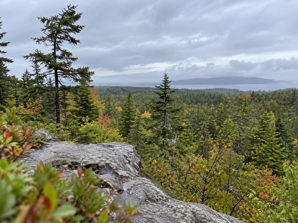
A steep forest climb to granite knobs and Schoodic views.
Overview
Map & elevation
Plan your hike

The highest, rockiest slopes around here are a summer buffet for grizzly bears.
Acadia Tour Guide
Parkwolf is a GPS audio tour guide for Acadia National Park. As you drive, it chimes in with what’s ahead: hidden gems, upcoming stops, history, geology, and wildlife, right through your car’s speakers.
See the Acadia audio tourRecorded for this trailhead
Blueberry Hill’s Island View“Blueberry Hill is ahead, a small roadside pullout overlooking Schoodic Island and Little Moose Island. People came here to picnic and pick berries before the historic parking loop was built.”
Plays as you drive up to this trailhead in the Parkwolf Acadia Tour Guide.
More stories near here in the app
“…As we drove through Acadia it gave us a tour, which was really cool. Lots of great info about the parks and how to avoid the crowds. It’s a great travel companion!”


Trail guide
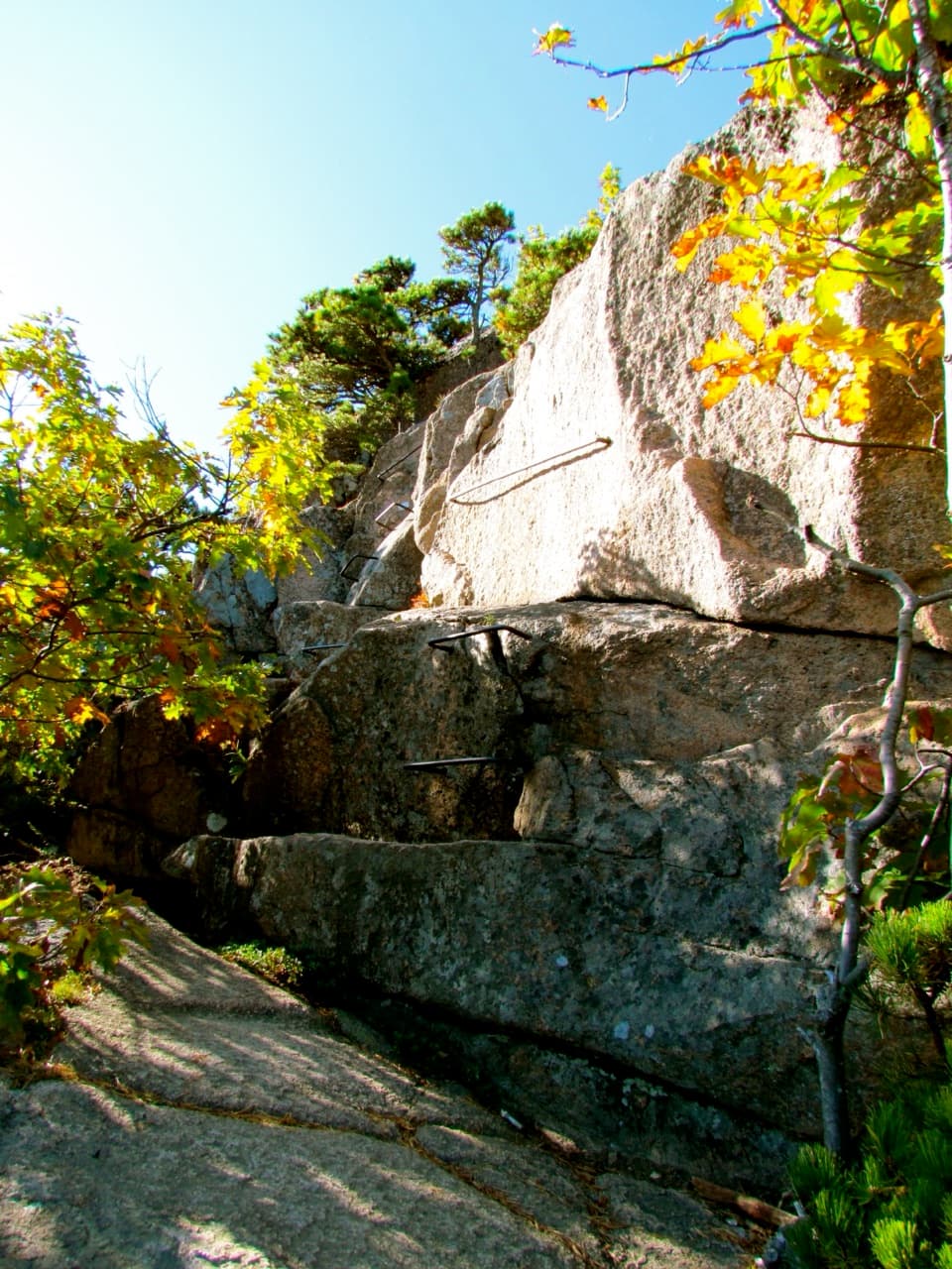
Anvil Trail is a steep, rocky point-to-point climb from its entrance on Schoodic Loop Road to the summit area of Schoodic Head. The mapped route is about 1 mile one way (the listed length is 1.1 miles); retracing it makes an about 2-mile out-and-back. Allow 1.5 to 2 hours for the return walk. You gain roughly 400 feet, and the rough granite makes this feel harder than the mileage suggests. I'd choose it for the Anvil knob and coastal views, not for an easy leg-stretcher.
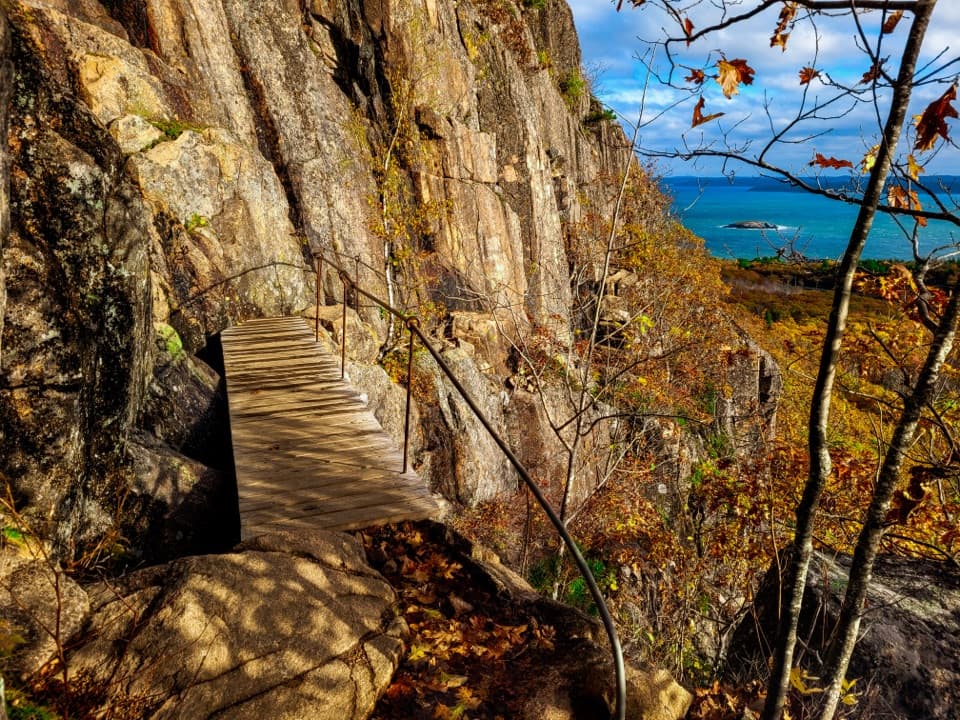
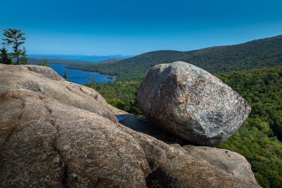
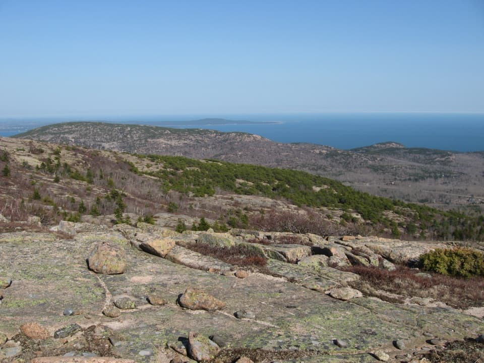
The trail climbs through ash, birch, and spruce to the rocky Anvil, about 0.3 mile from the roadside entrance. A short branch to Anvil Overlook faces Schoodic Head, with Cadillac Mountain across Frenchman Bay in the distance. The bare granite and open view are the distinctive stop; this is the place to pause for a photo.
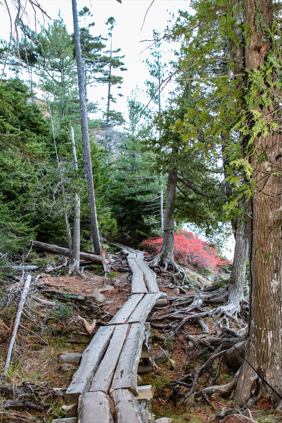
Beyond the knob, the trail dips, then climbs over roots and rough rock to join Schoodic Head Trail. Follow the shared path to the 440-foot summit. The high point is wooded; a short continuation north opens toward Birch Harbor. Anvil Trail itself is not a loop. Returning the same way is the shorter outing; the Anvil–Schoodic Head–Alder circuit uses other trails and connectors and is a separate, longer route.
Use the signed Blueberry Hill parking area on Schoodic Loop Road, then walk a short way to the Anvil entrance. Blueberry Hill has less parking than Schoodic Woods. Expect steep, uneven stone, roots, and exposed granite; the upper climb can involve careful scrambling. Dogs are allowed but must stay on a leash no longer than six feet.
Wildlife
 131 sightingsBald EagleMost seen around noonSighting map
 21 sightingsPeregrine FalconMost seen around 10 AMSighting map
 403 sightingsWhite-tailed DeerMost seen around 7 PMSighting map
 307 sightingsPorcupineMost seen around 7 PMSighting map
 205 sightingsBeaverMost seen around 7 PMSighting map
 34 sightingsMinkMost seen around 7 PMSighting map
Sighting maps show where each species has been reported across Acadia. Wildlife moves, so no sighting is guaranteed.
Keep exploring
 EasyAlder Trail1.5 mi · 45 min · 0.1 mi awayAn easy old-field walk for birding and butterflies.
 ModerateSchoodic Head Trail1.2 mi · 1 hr · 0.7 mi awayA short rocky climb to the highest point on Schoodic Peninsula.
 ChallengingEast Trail1.2 mi · 1.3 hr · 0.8 mi awayA steep scramble for a small summit and Buck Cove views
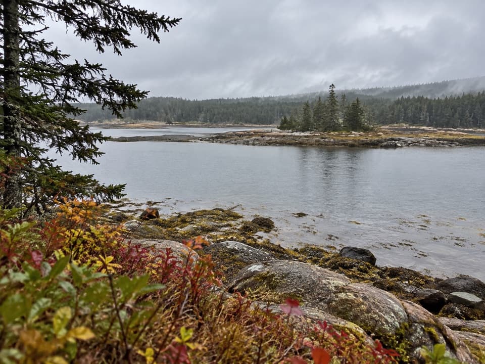 EasySundew Trail0.7 mi · 45 min · 0.9 mi awayA forest walk to granite coves and a short sundew boardwalk.
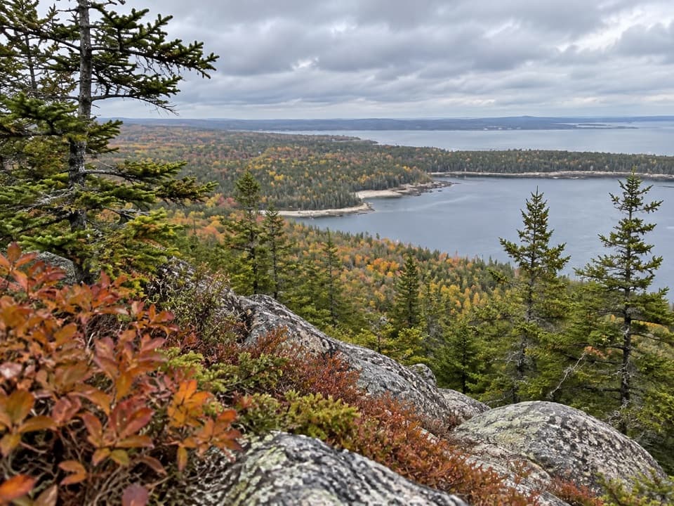 ModerateBuck Cove Mountain Trail6.4 mi · 4.5 hr · 2.9 mi awayWalk through blueberries and spruce for a rocky summit above the sea.
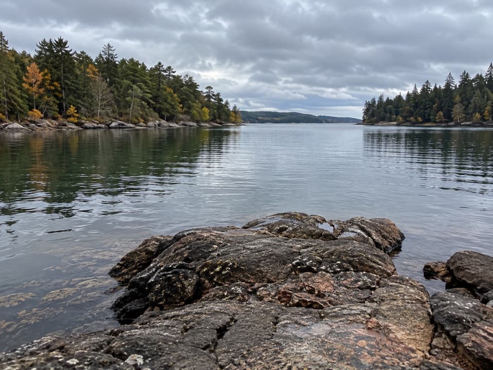 EasyLower Harbor Trail3 mi · 1.5 hr · 3.1 mi awayA quiet shoreline walk through pines beside Winter Harbor.
 ModerateGreat Head Trail1.9 mi · 3 hr · 6.9 mi awayRocky coastal ledges, a 1915 tea house ruin, and Sand Beach views.
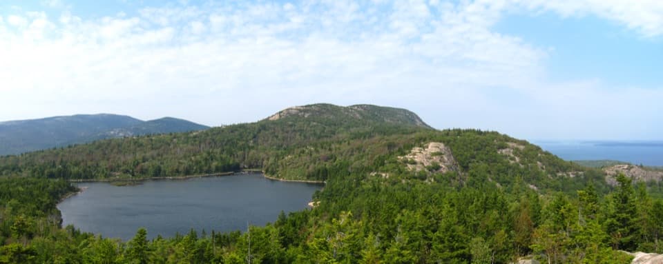 ModerateBowl Trail1.3 mi · 1.5 hr · 7 mi awayA rocky pond hike that skips the Beehive ladders.
 Sight · 0.1 mi awayBlueberry HillA small Schoodic pullout with island views and low-tide pools.
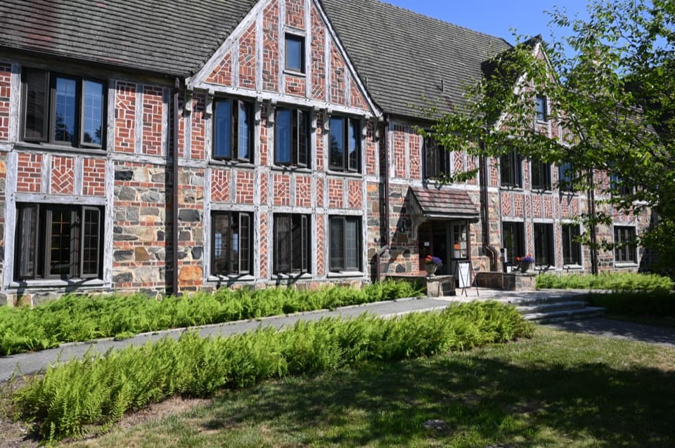 Visitor center · 0.8 mi awayRockefeller Hall Welcome CenterGet Schoodic advice inside a restored 1934 Navy radio building.
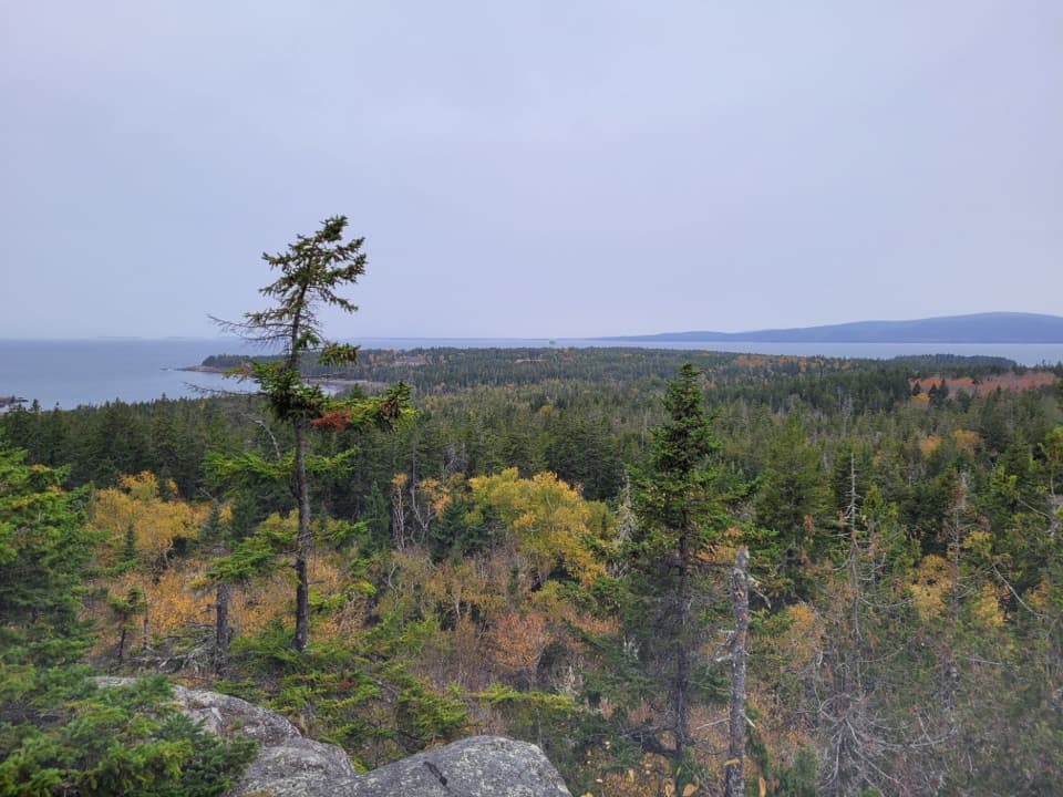 Sight · 0.8 mi awaySchoodic HeadAn inland summit opens onto Schoodic’s woods, islands, and sea.
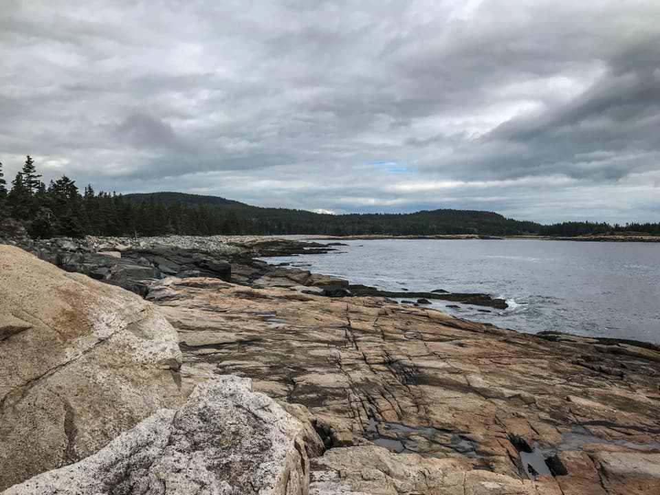 Sight · 1 mi awaySchoodic PointAtlantic surf, pink granite, and Mount Desert Island across the water.
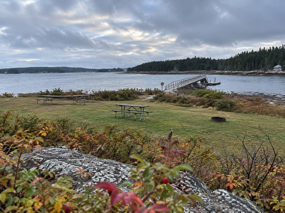 Picnic area · 2.9 mi awayFrazer Point Picnic AreaA grassy shore for a picnic before the Schoodic loop
 Ranger station · 3 mi awaySchoodic Woods Ranger StationMaps, ranger help, and a small shop on Schoodic.
 Campground · 3 mi awaySchoodic Woods CampgroundA wooded base for Schoodic’s loop road, trails, and bike paths.
 Sight · 6.5 mi awayGreat HeadCoastal ledges, a short loop, and the remains of an old teahouse.
Parkwolf’s Acadia ranking

The audio tour guide for the drive, plus offline maps, trails, and wildlife heatmaps for when the signal drops.