Parking
Start from the roadside East Trail pullout on the east side of Schoodic Loop Road.
Acadia National Park, ME
A steep scramble for a small summit and Buck Cove views
Overview
East Trail is a steep, rocky out-and-back from a roadside pullout on Schoodic Loop Road to the signed overlook beyond Schoodic Head. The complete visitor route is about 1.2 miles round trip, including the short connected summit and overlook paths; allow about 1 to 1.5 hours. It's a hard climb in a small package, best for sure-footed hikers who are comfortable scrambling over bare rock. The park lists the East Trail itself at 0.5 mile; the added ridge paths are what take you to the summit and its view.
 Parkwolf’s verdictIs this the climb for you?
Map & elevation
Plan your hike

The highest, rockiest slopes around here are a summer buffet for grizzly bears.
Acadia Tour Guide
Parkwolf is a GPS audio tour guide for Acadia National Park. As you drive, it chimes in with what’s ahead: hidden gems, upcoming stops, history, geology, and wildlife, right through your car’s speakers.
Recorded for this trailhead
East Trail’s Steep Schoodic Climb“You're approaching East Trail's roadside start on Schoodic, a short but demanding climb toward Schoodic Head.”
Plays as you drive up to this trailhead in the Parkwolf Acadia Tour Guide.
More stories near here in the app
“…As we drove through Acadia it gave us a tour, which was really cool. Lots of great info about the parks and how to avoid the crowds. It’s a great travel companion!”


Trail guide
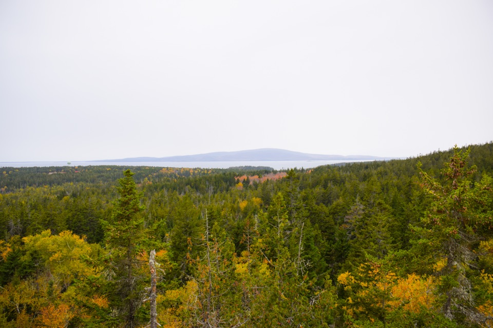
Step over large rocks at the roadside start, then climb steadily through the woods. The upper section steepens into switchbacks and rough granite, with short scrambling pitches and places where the tread fades across bare rock. Follow the blue blazes and cairns instead of guessing where to go, and take your time on the uneven descent. Views toward Schoodic Point and Spruce Point open along the way; around halfway up, look east over Buck Cove toward Rolling Island.
The East Trail meets Schoodic Head Trail just below the 442-foot summit. The summit marker is wooded, so continue along the marked path to the overlook about 100 yards farther on; Buck Cove lies to the east and islands spread out to the west. The view works best with the dark evergreen canopy in the foreground and water along the horizon. In spring, Canada dogwood and small white starflowers bloom beside gnarled pitch pines, cedars, and sea-green lichen. Dogs are allowed on most park trails on a leash no longer than six feet, though this scramble may be too rough for some pets.
Wildlife
 130 sightingsBald EagleMost seen around noonSighting map
 21 sightingsPeregrine FalconMost seen around 10 AMSighting map
 396 sightingsWhite-tailed DeerMost seen around 7 PMSighting map
 305 sightingsPorcupineMost seen around 7 PMSighting map
 201 sightingsBeaverMost seen around 7 PMSighting map
 34 sightingsMinkMost seen around 7 PMSighting map
Sighting maps show where each species has been reported across Acadia. Wildlife moves, so no sighting is guaranteed.
Keep exploring
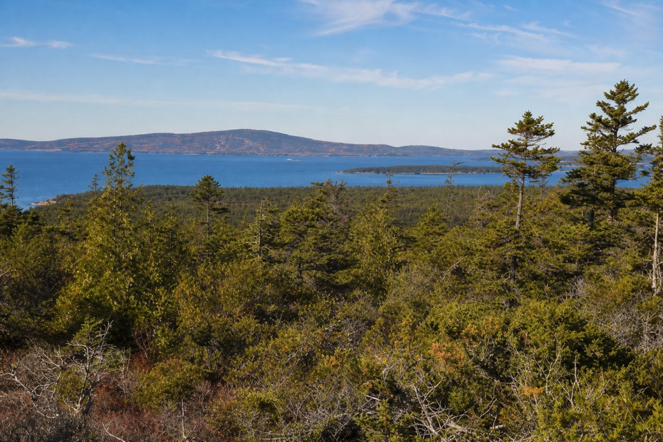 ModerateSchoodic Head Trail1.2 mi · 1 hr · 0.7 mi awayA short rocky climb to the highest point on Schoodic Peninsula.
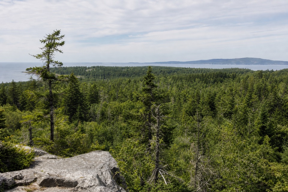 ModerateAnvil Trail1.1 mi · 1.8 hr · 0.8 mi awayA steep forest climb to granite knobs and Schoodic views.
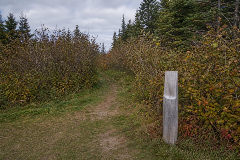 EasyAlder Trail1.5 mi · 45 min · 0.9 mi awayAn easy old-field walk for birding and butterflies.
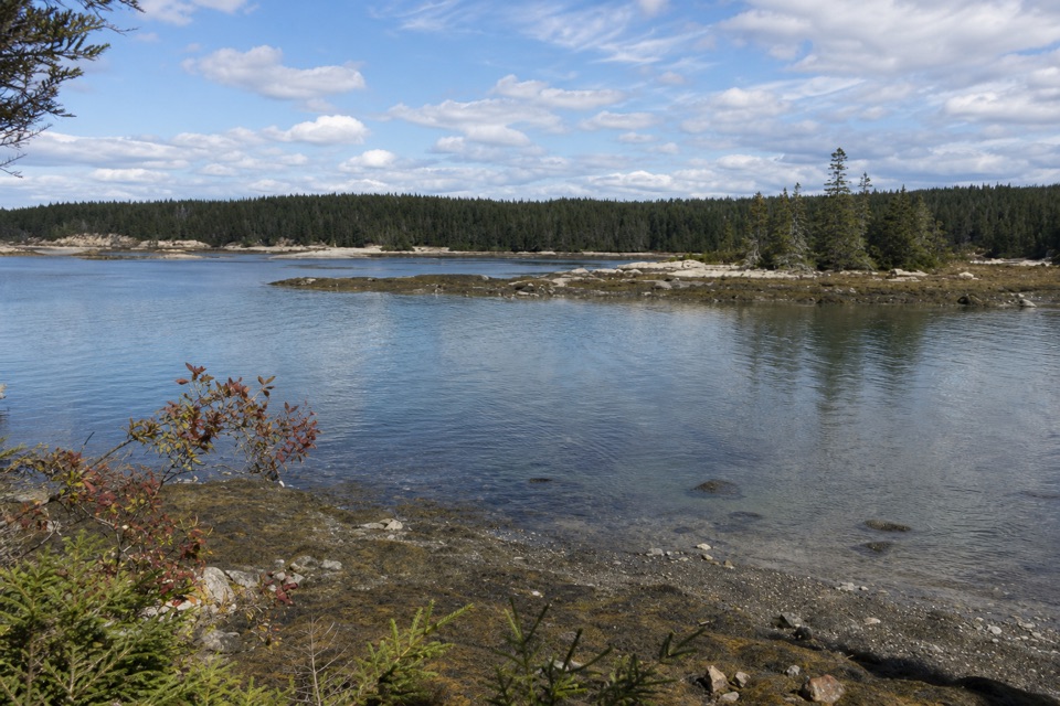 EasySundew Trail0.7 mi · 45 min · 1.3 mi awayA forest walk to granite coves and a short sundew boardwalk.
 ModerateBuck Cove Mountain Trail6.4 mi · 4.5 hr · 2.1 mi awayWalk through blueberries and spruce for a rocky summit above the sea.
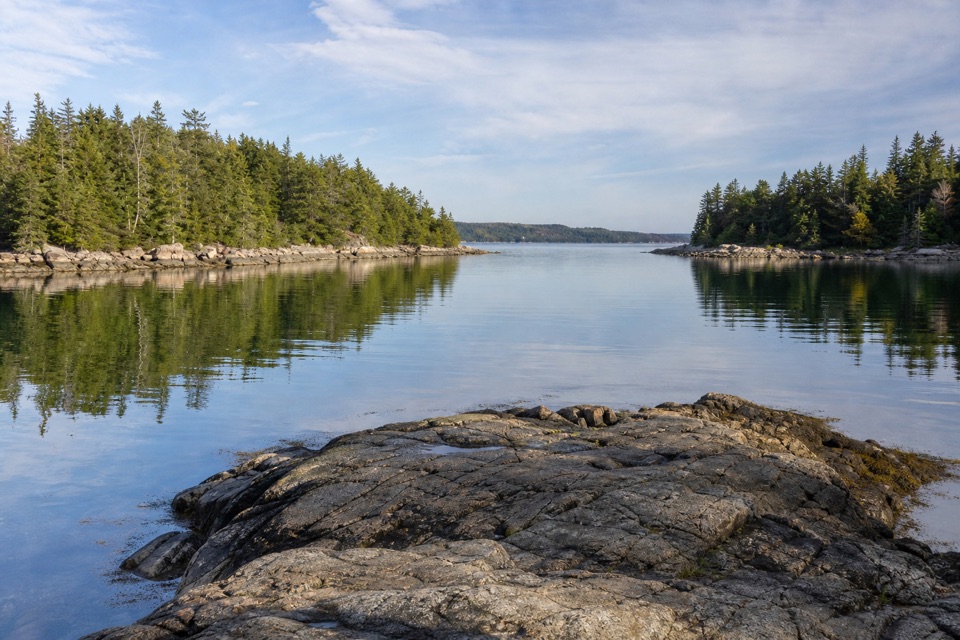 EasyLower Harbor Trail3 mi · 1.5 hr · 2.3 mi awayA quiet shoreline walk through pines beside Winter Harbor.
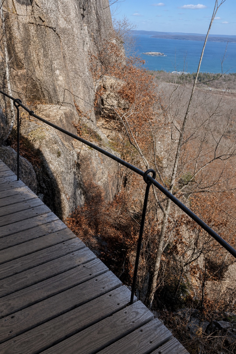 ModerateOrange & Black Path0.8 mi · 45 min · 6.8 mi awayA historic stone path crosses Champlain’s rugged east face.
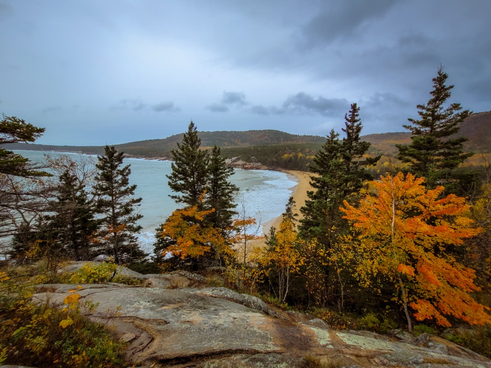 ModerateGreat Head Trail1.9 mi · 3 hr · 6.9 mi awayRocky coastal ledges, a 1915 tea house ruin, and Sand Beach views.
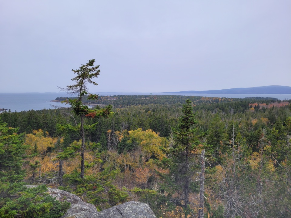 Sight · 0.3 mi awaySchoodic HeadAn inland summit opens onto Schoodic’s woods, islands, and sea.
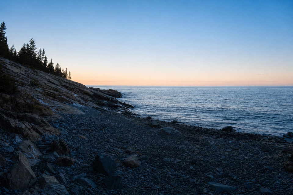 Sight · 0.9 mi awayBlueberry HillA small Schoodic pullout with island views and low-tide pools.
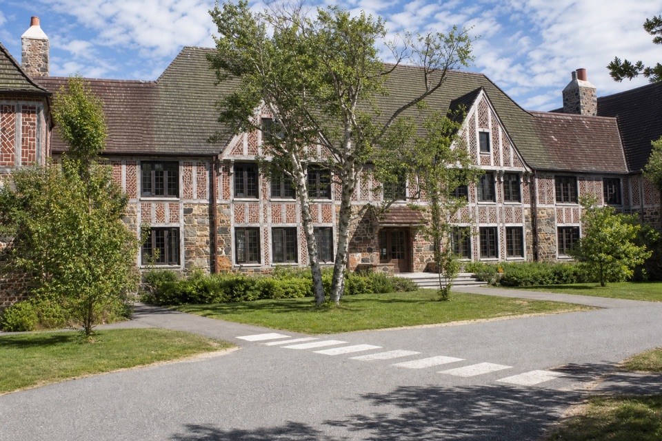 Visitor center · 1.3 mi awayRockefeller Hall Welcome CenterGet Schoodic advice inside a restored 1934 Navy radio building.
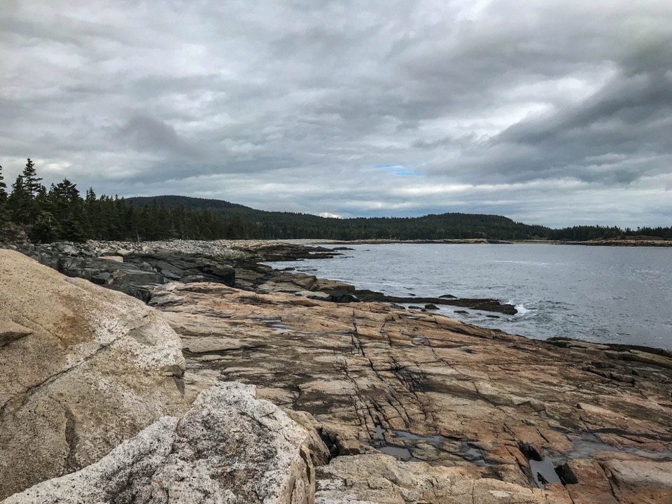 Sight · 1.5 mi awaySchoodic PointAtlantic surf, pink granite, and Mount Desert Island across the water.
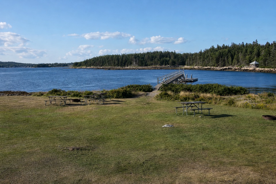 Picnic area · 2.1 mi awayFrazer Point Picnic AreaA grassy shore for a picnic before the Schoodic loop
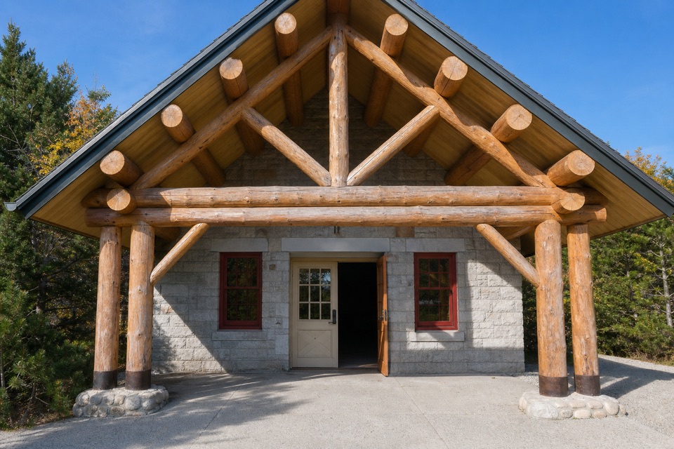 Ranger station · 2.2 mi awaySchoodic Woods Ranger StationMaps, ranger help, and a small shop on Schoodic.
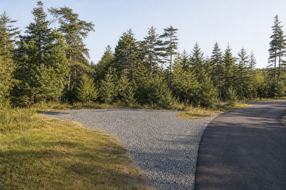 Campground · 2.2 mi awaySchoodic Woods CampgroundA wooded base for Schoodic’s loop road, trails, and bike paths.
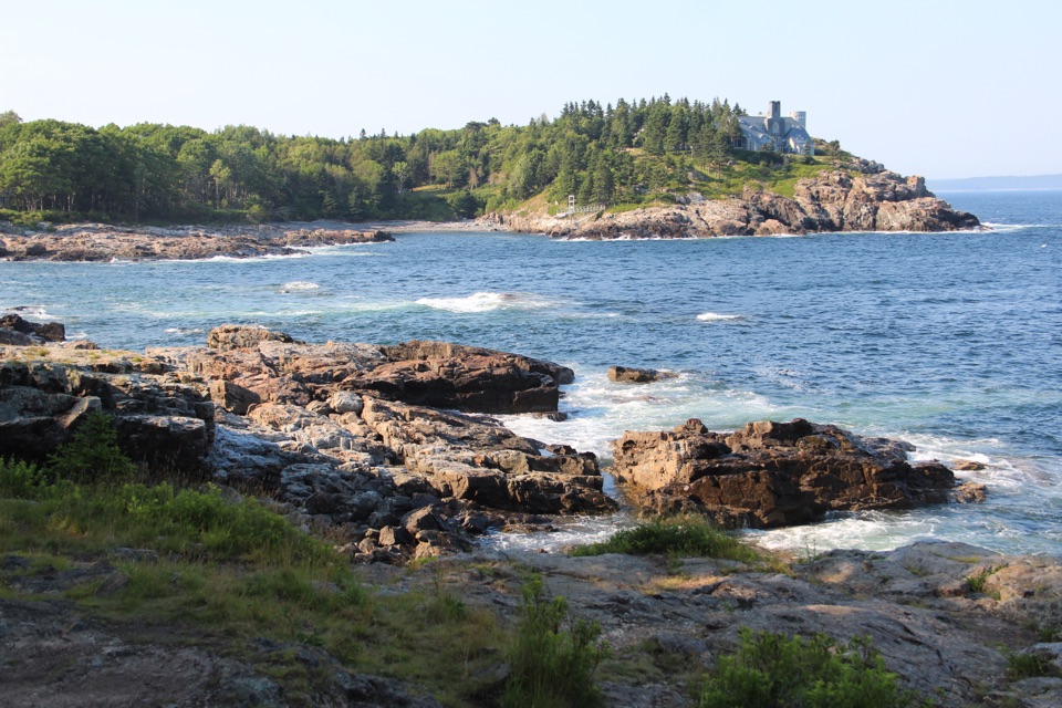 Scenic pullout · 6.5 mi awaySchooner Head OverlookA quick coastal stop facing a wooded headland and open water.
Parkwolf’s Acadia ranking
The audio tour guide for the drive, plus offline maps, trails, and wildlife heatmaps for when the signal drops.





