Parking
Use the marked parking access by the Eliot Mountain Trail along Thuya Drive, off Route 3. Follow Eliot Mountain Trail 1.0 mile uphill to the summit and the start of Asticou Ridge; parking capacity is not listed.
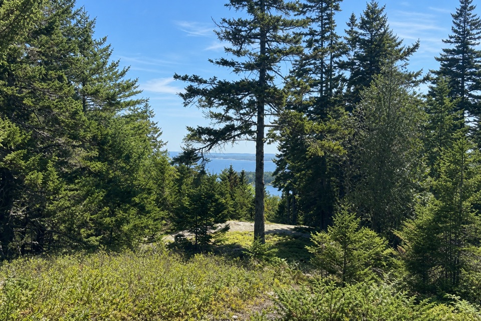
Acadia National Park, ME
A short ridge link from Eliot Mountain into the Asticou path.
Overview
Map & elevation
Plan your hike

The highest, rockiest slopes around here are a summer buffet for grizzly bears.
Acadia Tour Guide
Parkwolf is a GPS audio tour guide for Acadia National Park. As you drive, it chimes in with what’s ahead: hidden gems, upcoming stops, history, geology, and wildlife, right through your car’s speakers.
Recorded for this area
Asticou and Jordan Pond’s Historic Path“You're approaching the access for Asticou and Jordan Pond Path, a woodland route reached by steps from Asticou Terraces parking.”
Plays on the road 0.3 mi from the trailhead in the Parkwolf Acadia Tour Guide.
More stories near here in the app
“…As we drove through Acadia it gave us a tour, which was really cool. Lots of great info about the parks and how to avoid the crowds. It’s a great travel companion!”


Trail guide
Asticou Ridge Trail is a 0.8-mile, one-way path from the summit of Eliot Mountain north to the Asticou & Jordan Pond Path. It’s a useful connector if you’re linking the island’s older routes, not a loop or a summit hike. Allow about 30 minutes for the ridge leg; reaching its south end adds the separate 1.0-mile climb on Eliot Mountain Trail. The route trends downhill from the summit, dropping roughly 100 to 140 feet toward the north connection.
Park at the Eliot Mountain Trail access along Thuya Drive, off Route 3, then follow that trail 1.0 mile uphill to the summit junction. Asticou Ridge heads north and ends on the Asticou & Jordan Pond Path inside Acadia. Plan to retrace your steps over Eliot Mountain or continue on adjoining paths before you set out; the ridge segment ends at a trail junction, not a parking area. The Preserve’s natural trails are open from dawn to dusk year-round. Dogs are allowed, but must be leashed on trails around Thuya Garden.
Asticou Ridge is part of Mount Desert Island’s Historic Hiking Trail System. Its record traces the trail to an 1885 entry, and a 1915 path guide describes a wood lane over Asticou Hill, now called Eliot Mountain. The route still links that ridge to the Asticou path and carries the old name forward.
Wildlife
 130 sightingsBald EagleMost seen around noonSighting map
 21 sightingsPeregrine FalconMost seen around 10 AMSighting map
 396 sightingsWhite-tailed DeerMost seen around 7 PMSighting map
 305 sightingsPorcupineMost seen around 7 PMSighting map
 201 sightingsBeaverMost seen around 7 PMSighting map
 34 sightingsMinkMost seen around 7 PMSighting map
Sighting maps show where each species has been reported across Acadia. Wildlife moves, so no sighting is guaranteed.
Keep exploring
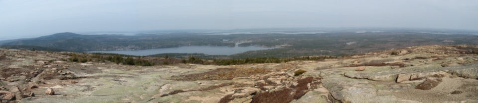 ChallengingSargent South Ridge Trail2.8 mi · 4.5 hr · 0.5 mi awayA steady south-ridge climb to Sargent’s open, far-reaching summit.
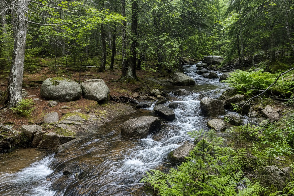 EasyAsticou & Jordan Pond Path1.9 mi · 1.3 hr · 0.5 mi awayA wooded connector reaches Jordan Pond and the Bubbles.
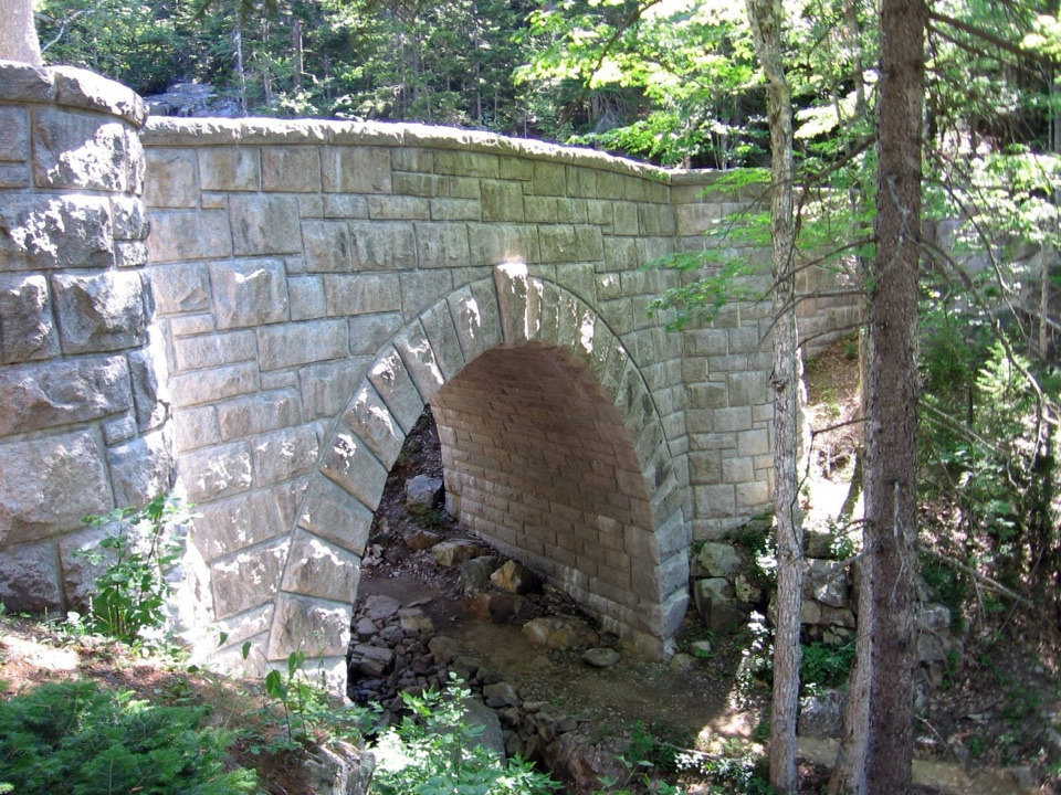 ModerateHadlock Loop Carriage Road4.2 mi · 2.2 hr · 0.8 mi awayA gravel loop to three stone bridges, including a 40-foot waterfall.
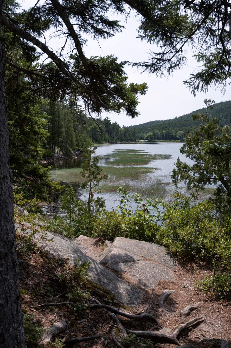 EasyHadlock Ponds Trail1.6 mi · 1.3 hr · 0.8 mi awayEasy pondside walking and a 1926 carriage-road bridge at the far end.
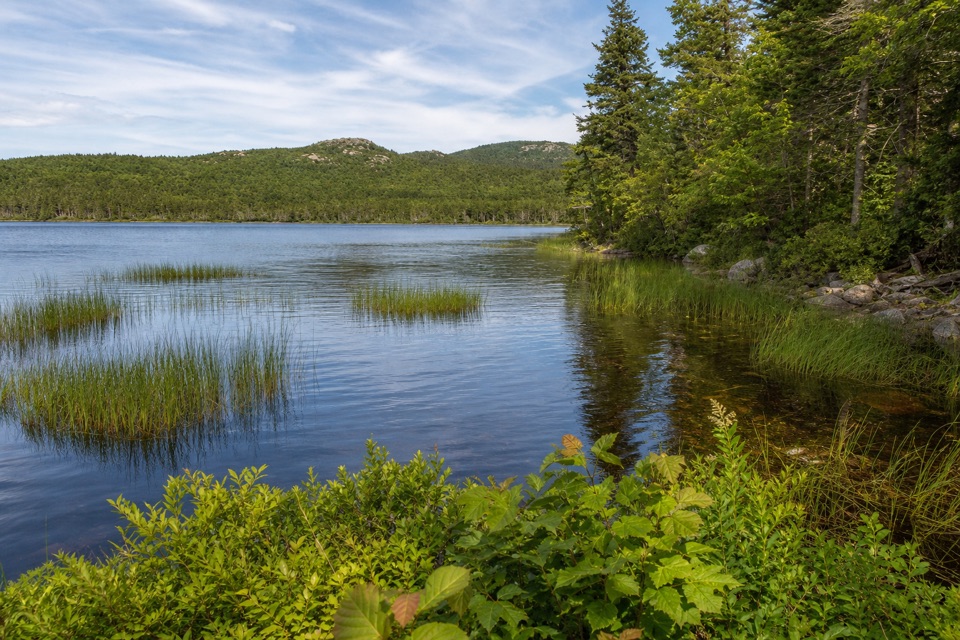 EasyLower Hadlock Trail0.6 mi · 30 min · 0.9 mi awayA gentle shoreline connector with a trail story from 1881.
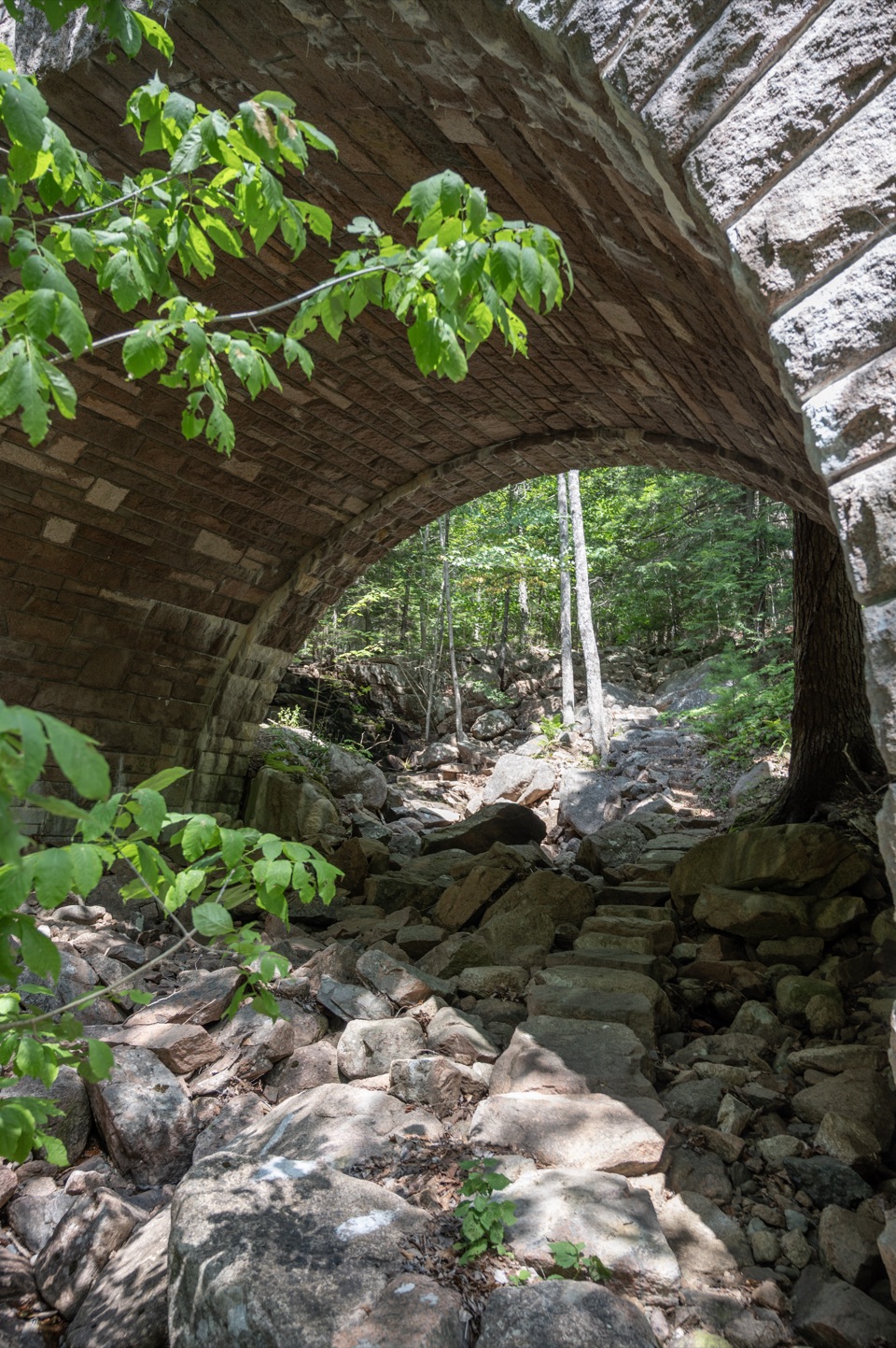 ModerateAmphitheater Trail1.4 mi · 1.5 hr · 0.9 mi awayA wooded climb beneath a landmark pink-granite arch.
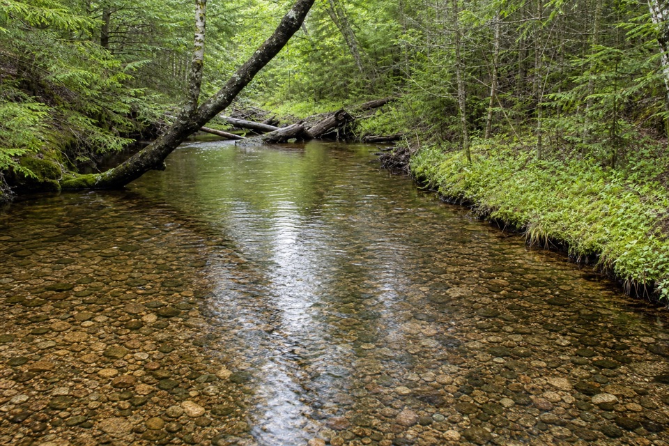 EasyHarbor Brook Trail3.2 mi · 1.8 hr · 1 mi awayA quiet brookside walk through mossy, fern-lined woodland.
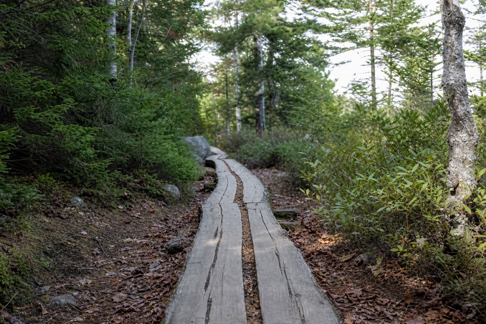 ModerateGolf Course Trail0.5 mi · 30 min · 1.3 mi awayA 1914 spur on Norumbega's wooded southwest flank.
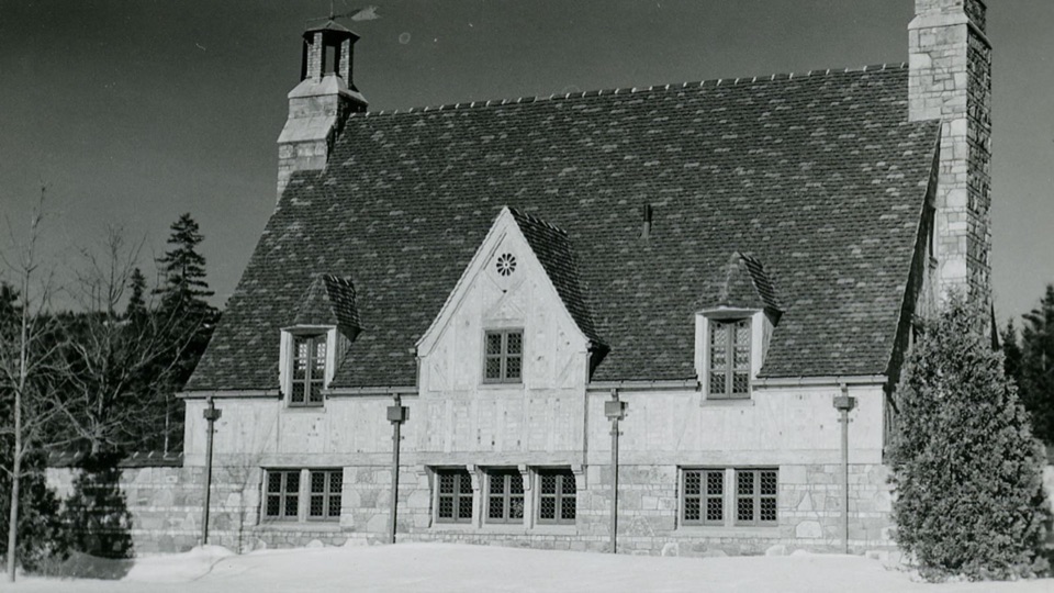 Sight · 0.8 mi awayBrown Mountain GatehouseA 1932 stone-and-brick gate marks the carriage-road entrance.
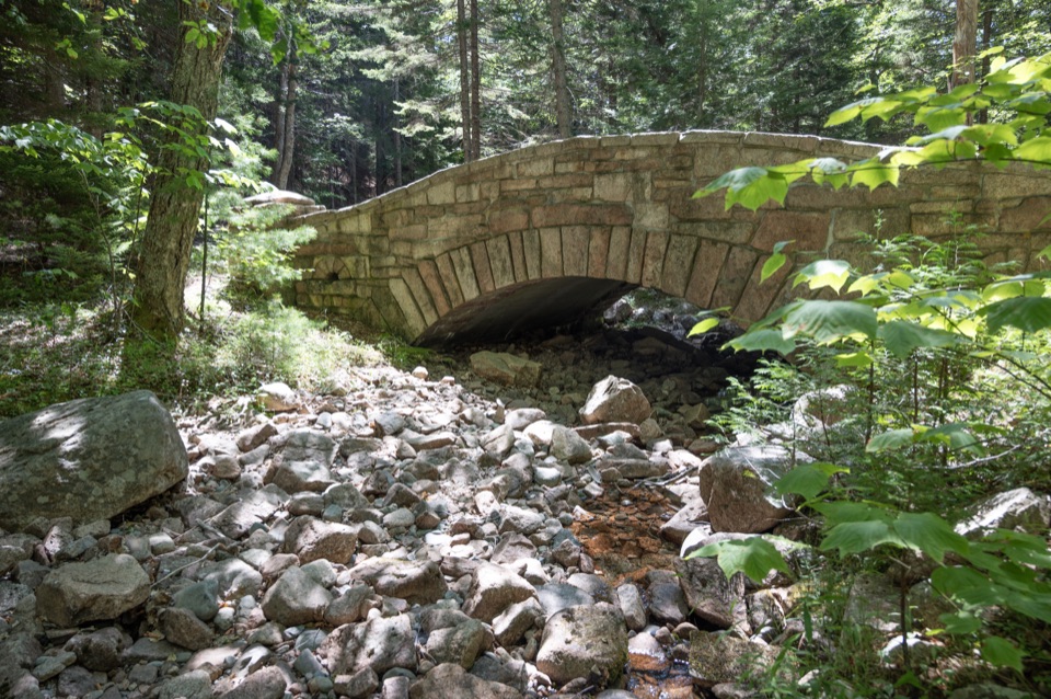 Sight · 0.8 mi awayLittle Harbor Brook BridgeA 1919 granite-faced arch over a shallow brook on car-free roads.
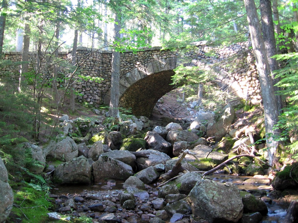 Sight · 1 mi awayCobblestone BridgeA 1917 carriage-road bridge with an unusual cobblestone arch.
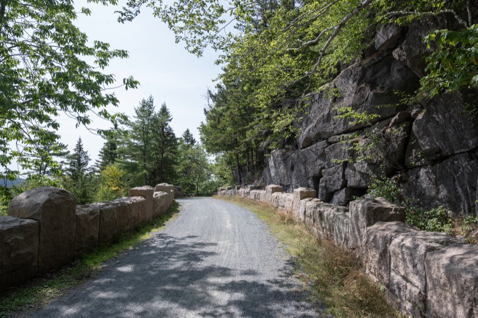 Sight · 1 mi awayCliffside BridgeA 1932 stone bridge with castle turrets above Jordan Stream.
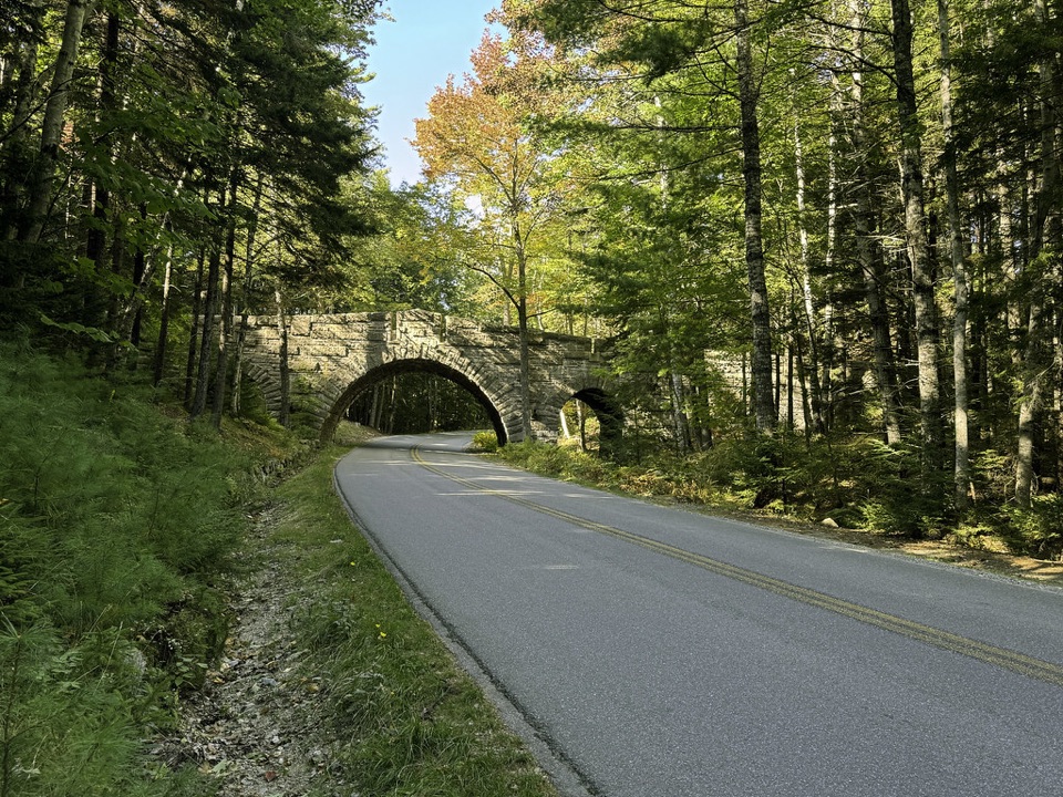 Sight · 1.4 mi awayStanley Brook BridgeA 1933 triple-arch bridge spans a road, brook and trail.
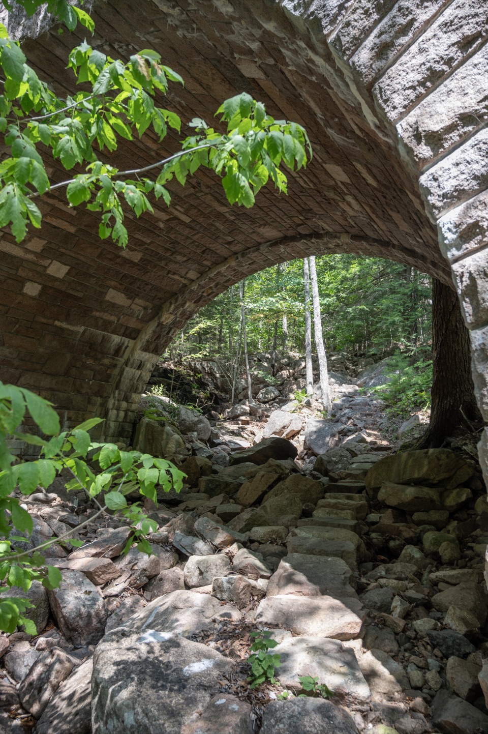 Sight · 1.4 mi awayAmphitheatre BridgeA granite arch curves around two trees toward a waterfall.
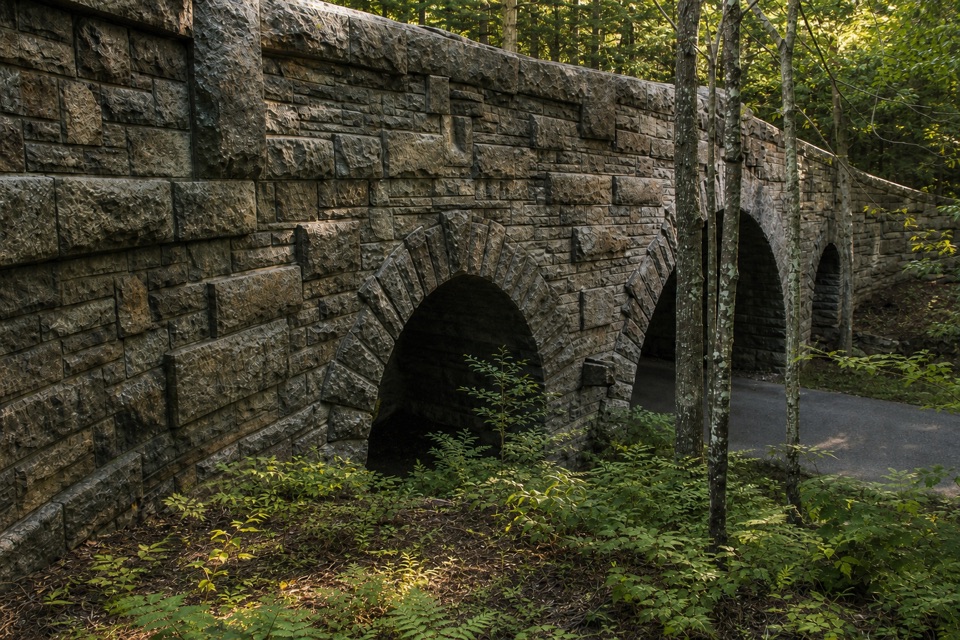 Sight · 1.5 mi awayJordan Pond Road BridgeA historic granite arch on Acadia's carriage roads.
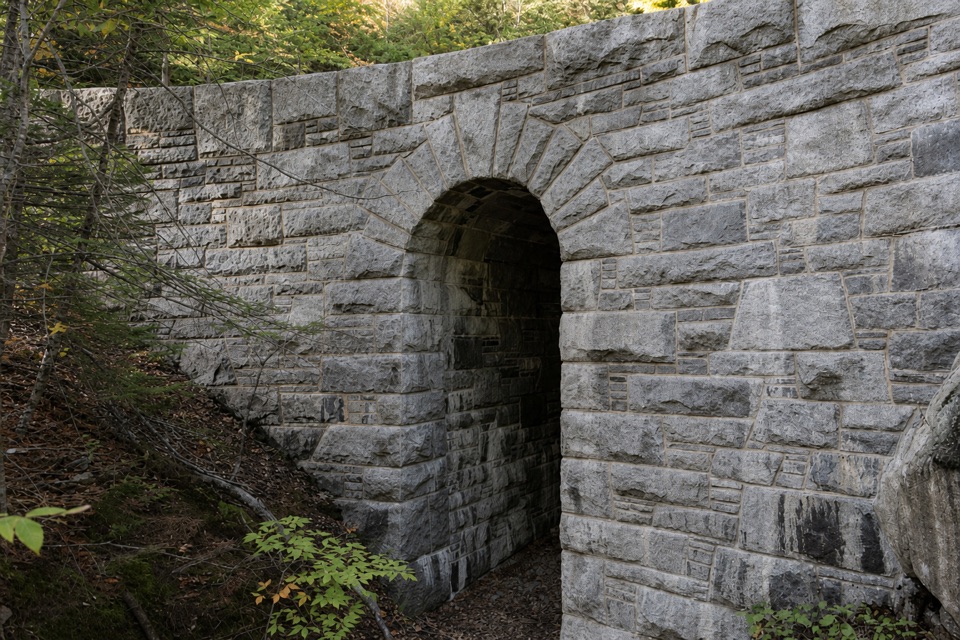 Sight · 1.5 mi awayWest Branch Jordan Stream BridgeA granite carriage-road bridge with a six-foot Roman arch.
Parkwolf’s Acadia ranking

The audio tour guide for the drive, plus offline maps, trails, and wildlife heatmaps for when the signal drops.





