Parking
Use the southern carriage-road parking access near intersections 18 and 19, beside Lower Hadlock Pond. The Park Service map marks this access, but does not give lot capacity.
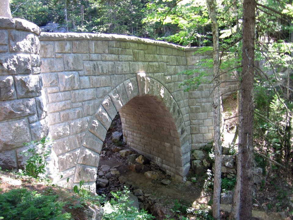
Acadia National Park, ME
A gravel loop to three stone bridges, including a 40-foot waterfall.
Overview
Map & elevation
Plan your hike

The highest, rockiest slopes around here are a summer buffet for grizzly bears.
Acadia Tour Guide
Parkwolf is a GPS audio tour guide for Acadia National Park. As you drive, it chimes in with what’s ahead: hidden gems, upcoming stops, history, geology, and wildlife, right through your car’s speakers.
Recorded for this trailhead
Brown Mountain Gatehouse and Its Bells“Brown Mountain Gatehouse is ahead, with stone towers and red-brick bands at a historic carriage-road entrance. Bells let the gatekeepers know when a carriage or rider wanted through.”
Plays as you drive up to this trailhead in the Parkwolf Acadia Tour Guide.
More stories near here in the app
“…As we drove through Acadia it gave us a tour, which was really cool. Lots of great info about the parks and how to avoid the crowds. It’s a great travel companion!”


Trail guide
Hadlock Loop is a 4.2-mile circuit on Acadia's auto-free carriage roads, following the official sequence 18–13–12–19–18 around Upper and Lower Hadlock ponds. It is a gravel road walk, distinct from the foot-only Hadlock Ponds Trail. Expect a significant climb and descent; allow about two to two and a half hours with stops at the bridges. The commonly quoted 30–40-minute estimate is for a manual bicycle, not a hiker. Start at the southern carriage-road access near intersections 18 and 19.
This is a broad gravel carriage road, shared with bicycles and horse-drawn carriages. Pedestrians must yield to horses, and it is worth staying alert for other traffic on the shared route. The climb and descent are substantial enough that this feels like a rolling walk, not a flat lap beside the ponds. The stretch between intersections 19 and 12 is a sustained climb for cyclists. Route guidance recommends the reverse loop direction for a gentler uphill on a bike.
The route crosses Hadlock Brook Bridge, Hemlock Bridge, and Waterfall Bridge. Hemlock and Waterfall are only about a tenth of a mile apart, so slow down through this stretch. Hemlock crosses a deep, rocky ravine cut by Maple Spring Brook on a long, curved span clad in granite. Waterfall Bridge carries the road over Upper Hadlock Brook above a 40-foot waterfall. Its parapet lookouts face upstream; the older view across the ponds toward the ocean has grown in with trees. For a route-specific photo, frame the arch from the approach or look upstream from the parapet toward the falls.
Hadlock Brook Bridge dates to 1926, and its small masonry arch was modeled after a bridge at Swan Lake in New York's Central Park. Hemlock Bridge was completed in 1924, with a 37-foot Gothic arch rising above the ravine. Waterfall Bridge followed in 1925, built in a curve to fit the surrounding stone. Together they belong to Acadia's 45-mile carriage-road system, built from 1913 to 1940 as a gift from John D. Rockefeller Jr. and his family.
The carriage-road map marks parking and restrooms near the southern access at 18 and 19, plus a seasonal Island Explorer stop. The map was revised in 2019, so check current transit and facility information before relying on those services. No food or drinking-water stop on the route was found. Pets are allowed on Acadia's carriage roads on a leash no longer than six feet. Carriage roads can close during spring mud season to protect the gravel surface; check the current status before setting out.
Wildlife
 130 sightingsBald EagleMost seen around noonSighting map
 21 sightingsPeregrine FalconMost seen around 10 AMSighting map
 396 sightingsWhite-tailed DeerMost seen around 7 PMSighting map
 305 sightingsPorcupineMost seen around 7 PMSighting map
 201 sightingsBeaverMost seen around 7 PMSighting map
 34 sightingsMinkMost seen around 7 PMSighting map
Sighting maps show where each species has been reported across Acadia. Wildlife moves, so no sighting is guaranteed.
Keep exploring
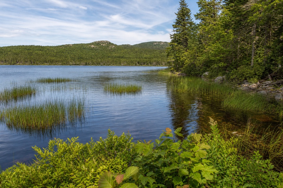 EasyLower Hadlock Trail0.6 mi · 30 min · 0.1 mi awayA gentle shoreline connector with a trail story from 1881.
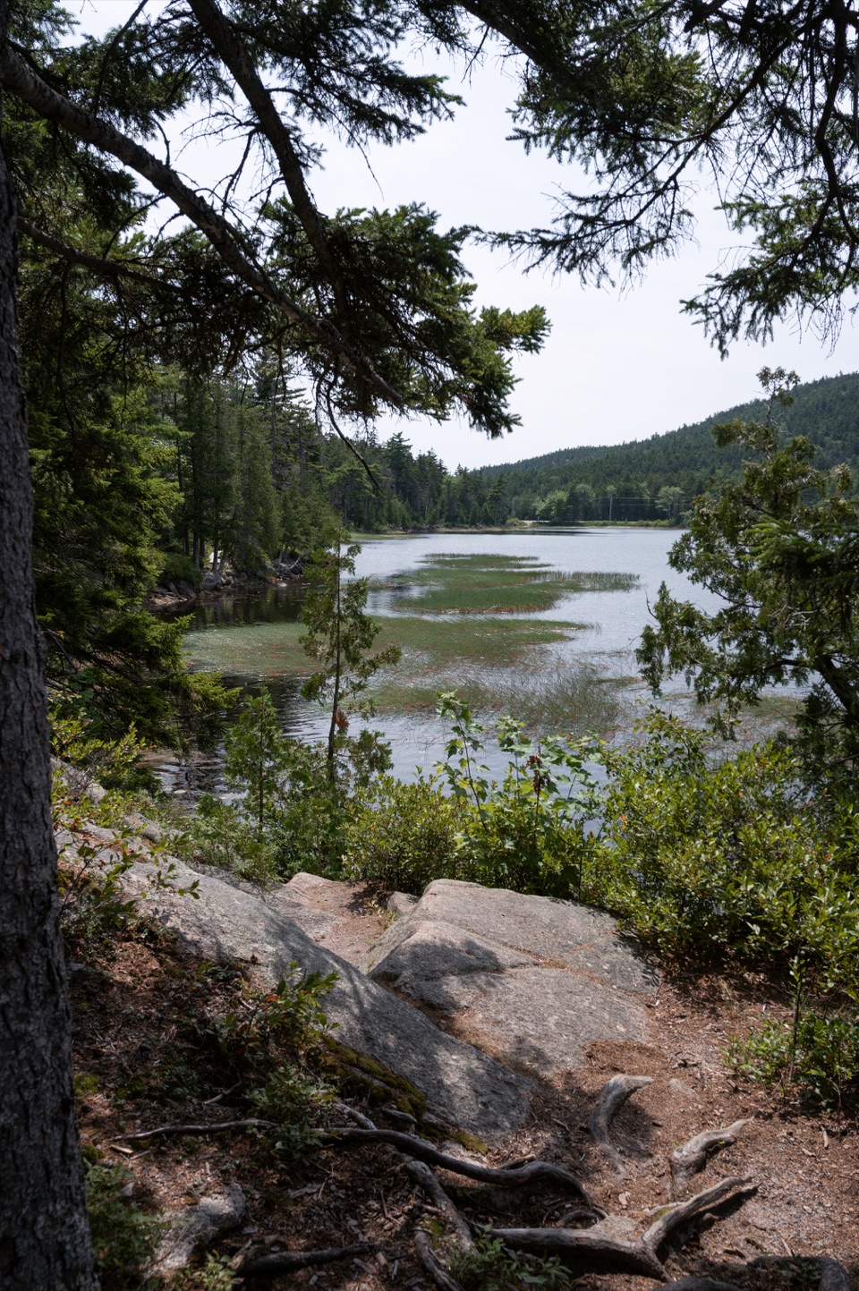 EasyHadlock Ponds Trail1.6 mi · 1.3 hr · 0.2 mi awayEasy pondside walking and a 1926 carriage-road bridge at the far end.
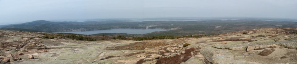 ChallengingSargent South Ridge Trail2.8 mi · 4.5 hr · 0.4 mi awayA steady south-ridge climb to Sargent’s open, far-reaching summit.
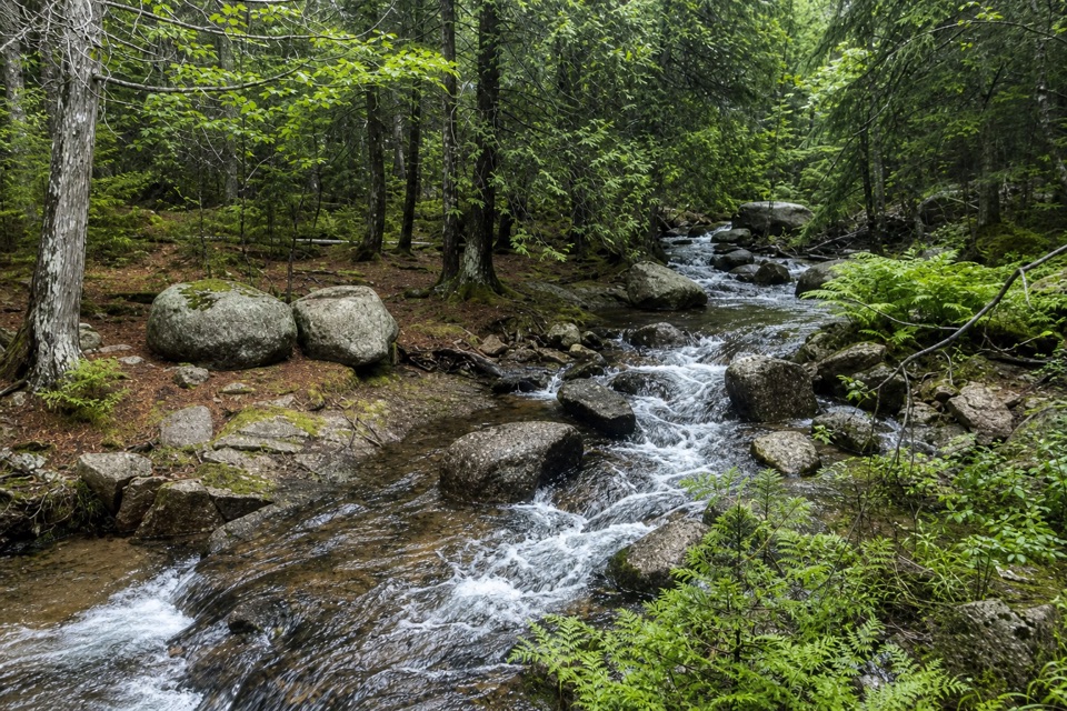 EasyAsticou & Jordan Pond Path1.9 mi · 1.3 hr · 0.4 mi awayA wooded connector reaches Jordan Pond and the Bubbles.
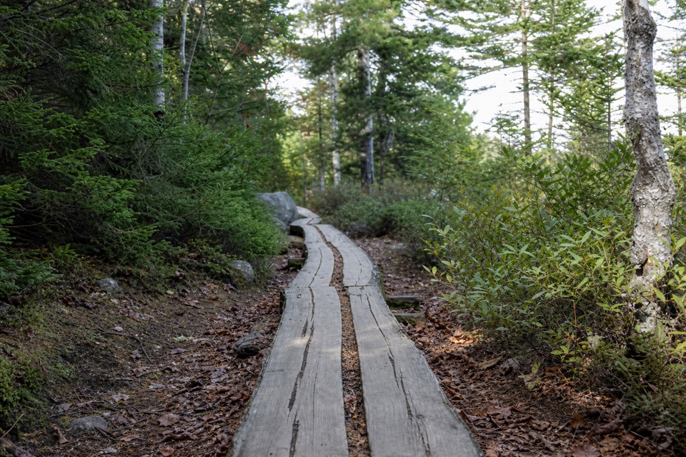 ModerateGolf Course Trail0.5 mi · 30 min · 0.6 mi awayA 1914 spur on Norumbega's wooded southwest flank.
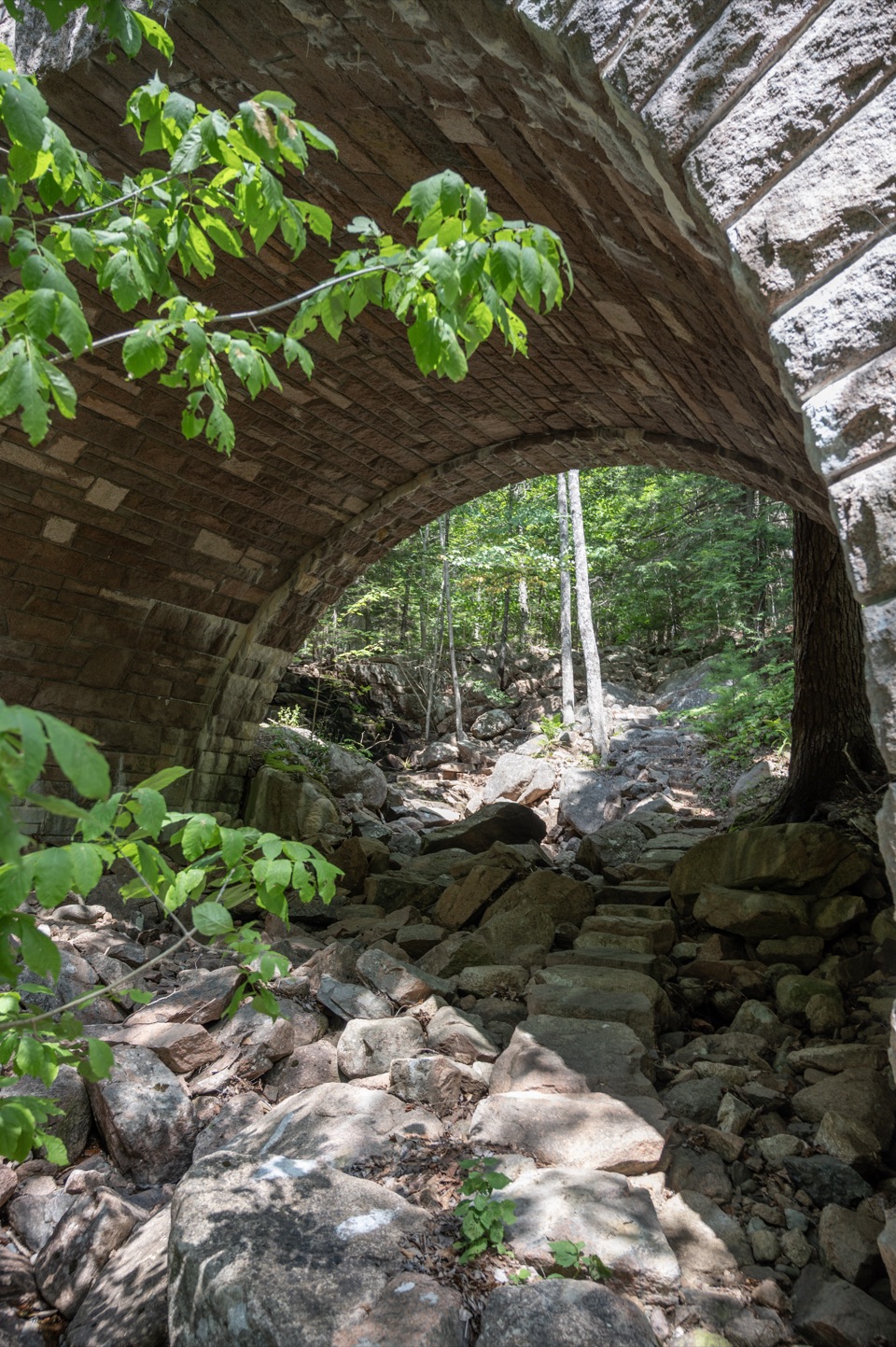 ModerateAmphitheater Trail1.4 mi · 1.5 hr · 0.8 mi awayA wooded climb beneath a landmark pink-granite arch.
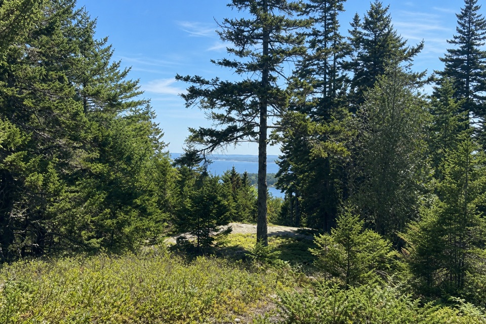 EasyAsticou Ridge Trail0.8 mi · 30 min · 0.8 mi awayA short ridge link from Eliot Mountain into the Asticou path.
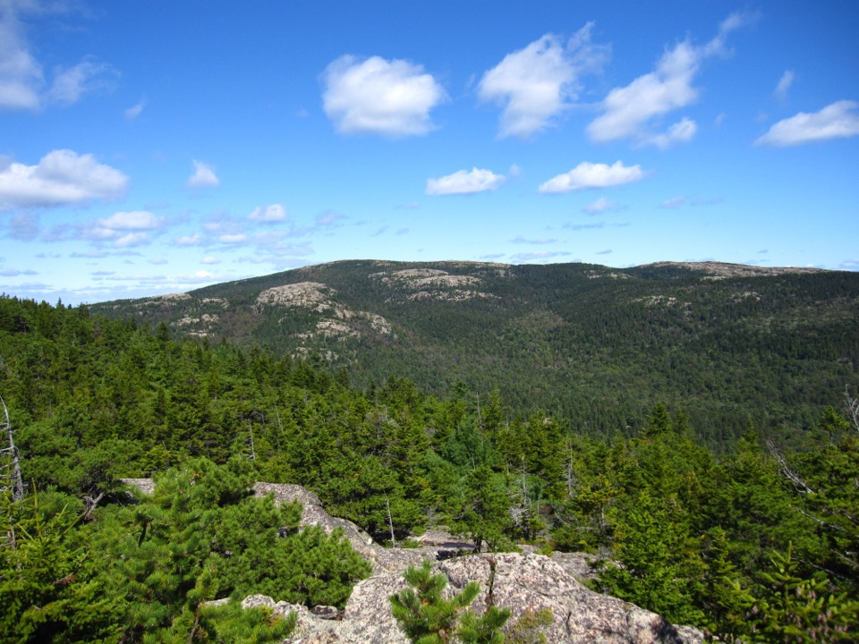 ChallengingBald Peak and Parkman Mountain Loop2.7 mi · 2 hr · 1 mi awayA steep granite loop to two peaks with ocean views.
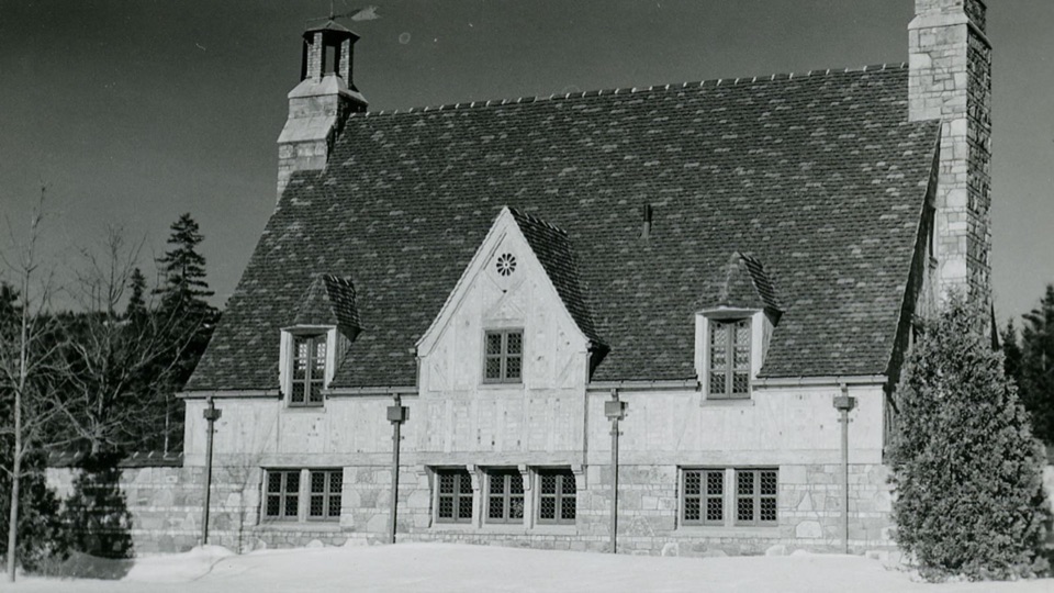 Sight · 0.1 mi awayBrown Mountain GatehouseA 1932 stone-and-brick gate marks the carriage-road entrance.
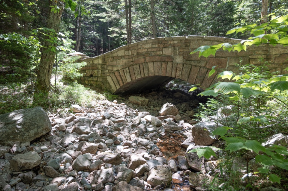 Sight · 0.8 mi awayLittle Harbor Brook BridgeA 1919 granite-faced arch over a shallow brook on car-free roads.
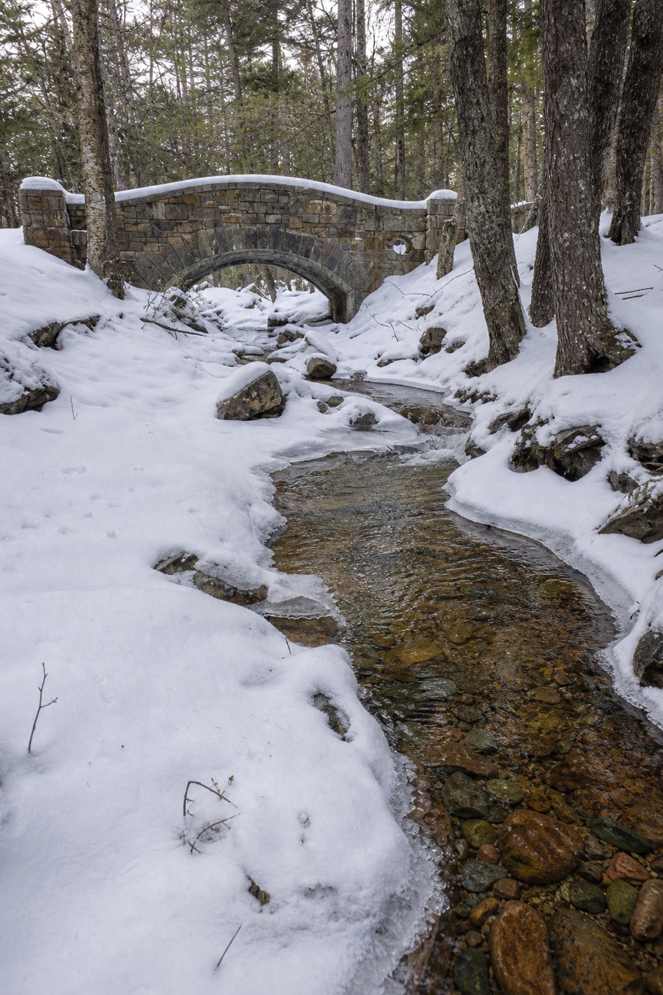 Sight · 0.9 mi awayHadlock Brook BridgeA small stone arch on the car-free Hadlock Loop.
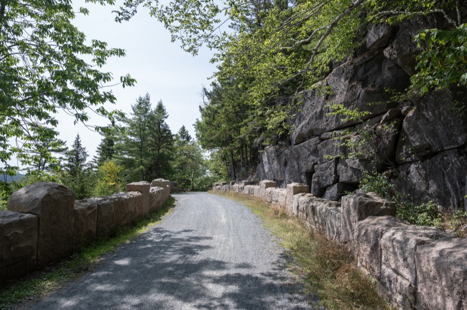 Sight · 1 mi awayCliffside BridgeA 1932 stone bridge with castle turrets above Jordan Stream.
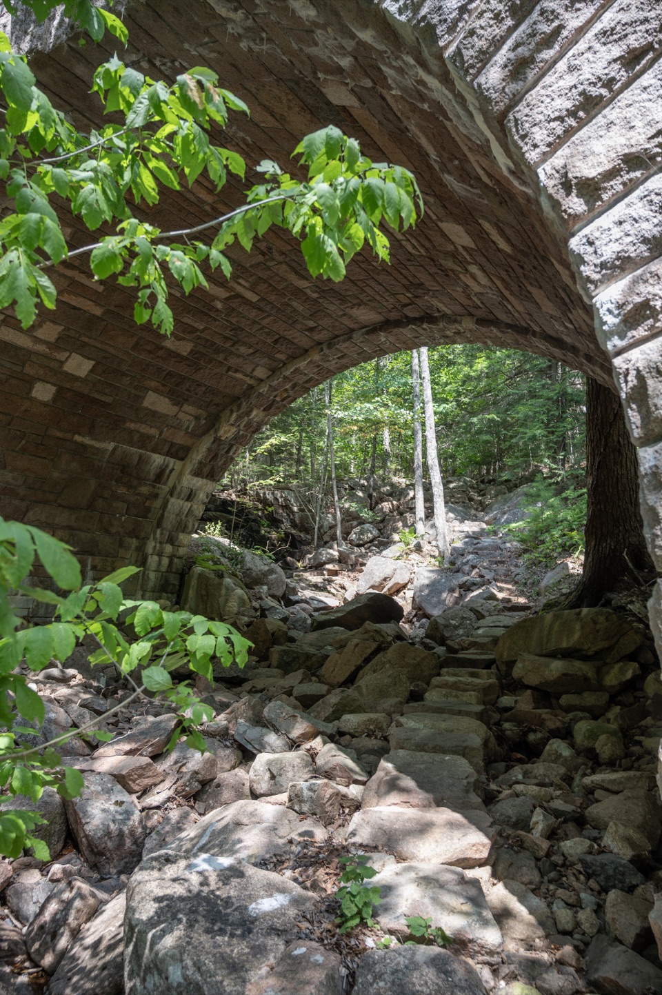 Sight · 1 mi awayAmphitheatre BridgeA granite arch curves around two trees toward a waterfall.
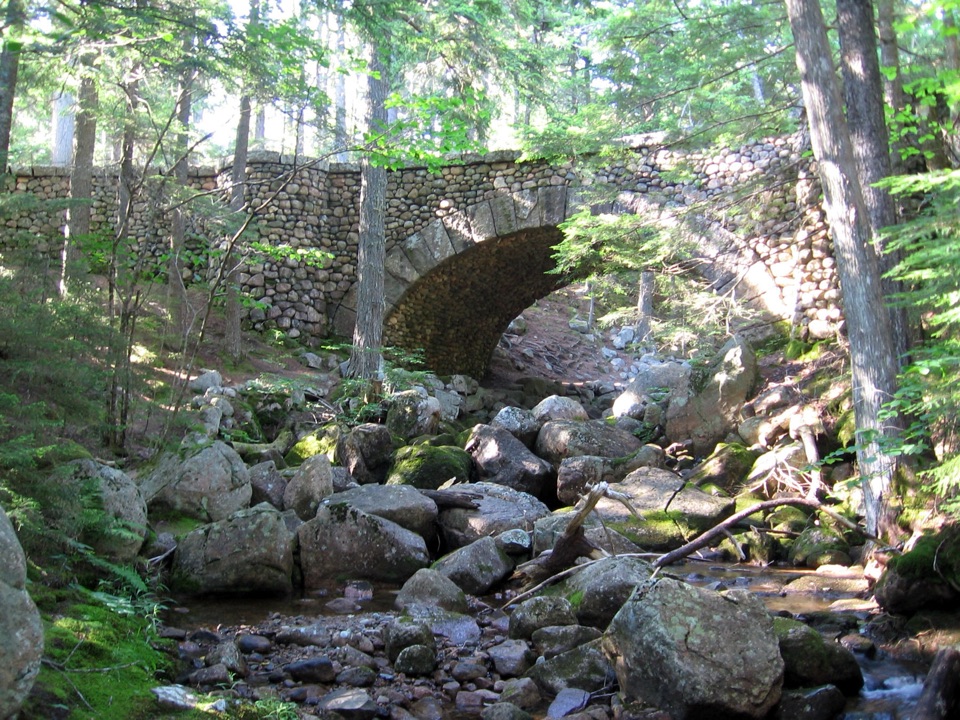 Sight · 1.2 mi awayCobblestone BridgeA 1917 carriage-road bridge with an unusual cobblestone arch.
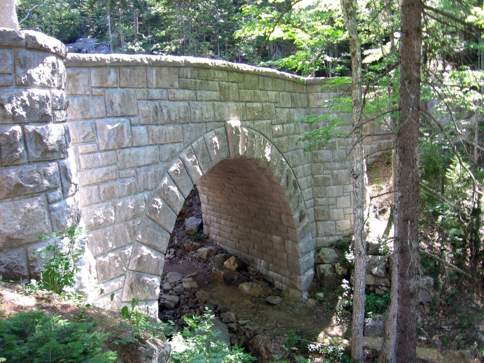 Sight · 1.3 mi awayWaterfall BridgeA 1925 arch frames Hadlock Brook's waterfall along car-free roads.
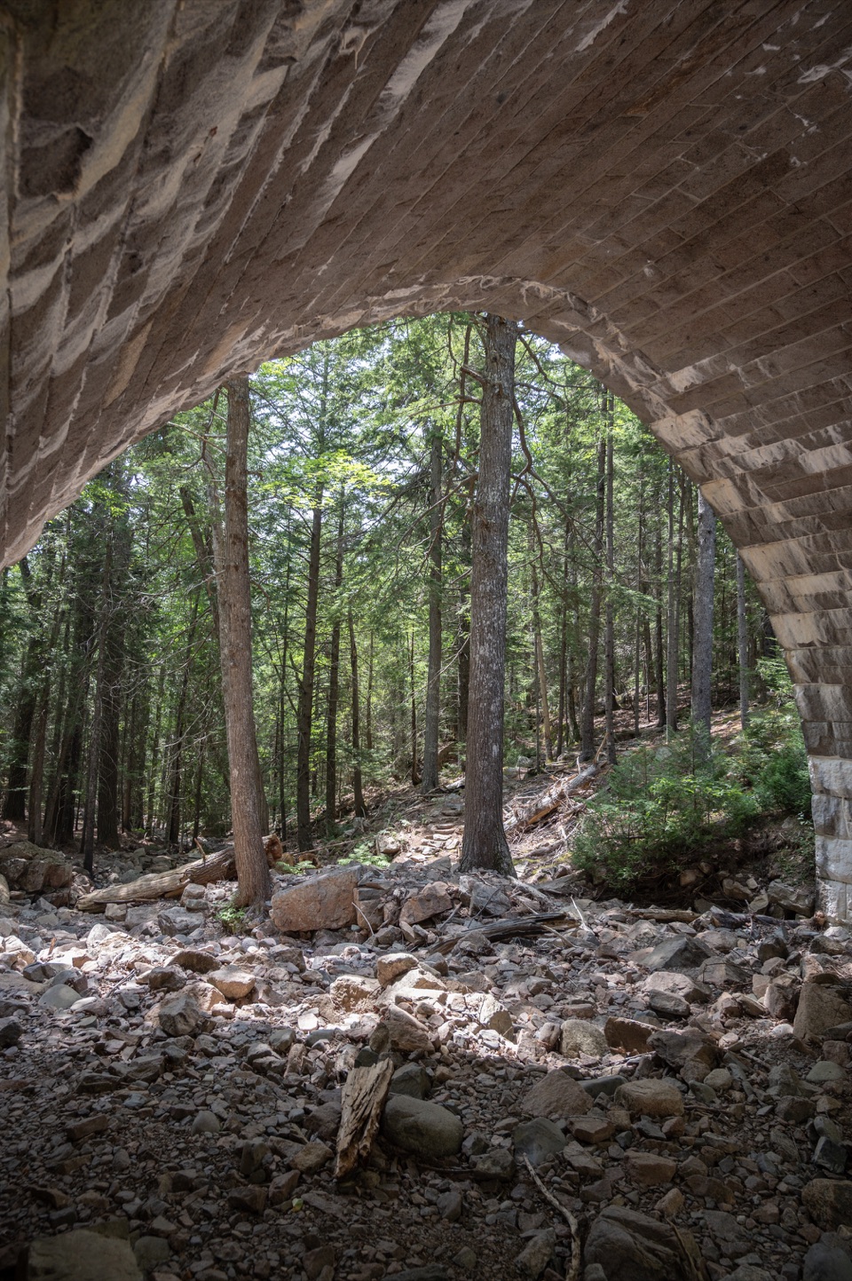 Sight · 1.3 mi awayHemlock BridgeA rare Gothic arch tucked into the car-free carriage roads.
Parkwolf’s Acadia ranking

The audio tour guide for the drive, plus offline maps, trails, and wildlife heatmaps for when the signal drops.





