Parking
Start at the Asticou Terraces parking area on Peabody Drive, then follow the stepped approach toward Thuya Lodge and Map House. The path ends near Jordan Pond House, so plan the return.
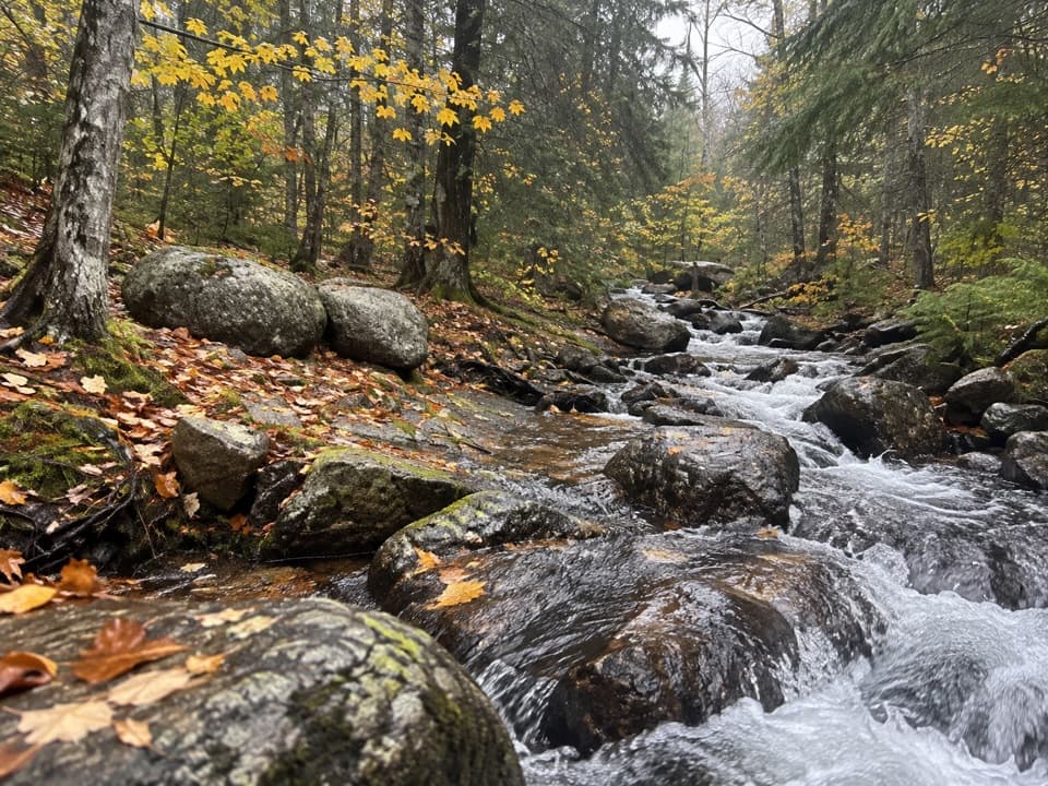
Acadia National Park, ME
A wooded connector reaches Jordan Pond and the Bubbles.
Overview
Map & elevation
Plan your hike

The highest, rockiest slopes around here are a summer buffet for grizzly bears.
Acadia Tour Guide
Parkwolf is a GPS audio tour guide for Acadia National Park. As you drive, it chimes in with what’s ahead: hidden gems, upcoming stops, history, geology, and wildlife, right through your car’s speakers.
See the Acadia audio tourRecorded for this trailhead
Asticou and Jordan Pond’s Historic Path“You're approaching the access for Asticou and Jordan Pond Path, a woodland route reached by steps from Asticou Terraces parking.”
Plays as you drive up to this trailhead in the Parkwolf Acadia Tour Guide.
More stories near here in the app
“…As we drove through Acadia it gave us a tour, which was really cool. Lots of great info about the parks and how to avoid the crowds. It’s a great travel companion!”


Trail guide
Asticou & Jordan Pond Path is a 1.9-mile, one-way walk from Asticou Map House to the Jordan Pond House side. It threads through the woods along Penobscot Mountain’s lower slope and opens near Jordan Pond, with the Bubbles beyond. Allow about one to one and a half hours for the walk and pauses. The route is mostly a modest woodland hike, but it has some steep pitches, a long stone-step section, and a brook crossing. Published one-way lengths range from 1.9 to 2.2 miles; this entry uses 1.9 miles for the named connector, with the walk from the lot to Map House extra. It is separate from the 3.3-mile Jordan Pond shoreline loop.
Expect a gravel path, several wooden bridges and culverts, and uneven stonework. At Little Harbor Brook, the route crosses on large stepping stones; take care on the wet rocks. The climb is broken up rather than constant, but the steps on Faint Hill make a short section feel steeper than the mileage suggests. This route skirts Penobscot Mountain rather than climbing to its summit.
The trail belongs to Mount Desert Island’s early village trail-building era. A 2014 restoration used historic photographs as a guide and renewed the stone steps, bridges, and drainage. The work left substantial hand-built stonework along a route that otherwise feels like a quiet forest connector.
The woods open toward Jordan Pond and the North and South Bubbles. Jordan Pond House is a separate stop near the end, known for tea and popovers; it continues a long refreshment tradition at the pond. Keep that visit distinct from the hike itself, and don’t follow the shoreline expecting it to be part of this mapped route.
Start at the Asticou Terraces parking area on Peabody Drive and follow the stepped approach toward Thuya Lodge and Map House. The path ends near Jordan Pond House, so arrange a pickup or retrace the same 1.9-mile route; walking it both ways makes about 3.8 miles before any extra walking at either end. Pet access at the Asticou approach is not clear: the preserve separates garden rules from trail rules, so check its current route guidance before bringing a dog.
Wildlife
 131 sightingsBald EagleMost seen around noonSighting map
 21 sightingsPeregrine FalconMost seen around 10 AMSighting map
 403 sightingsWhite-tailed DeerMost seen around 7 PMSighting map
 307 sightingsPorcupineMost seen around 7 PMSighting map
 205 sightingsBeaverMost seen around 7 PMSighting map
 34 sightingsMinkMost seen around 7 PMSighting map
Sighting maps show where each species has been reported across Acadia. Wildlife moves, so no sighting is guaranteed.
Keep exploring
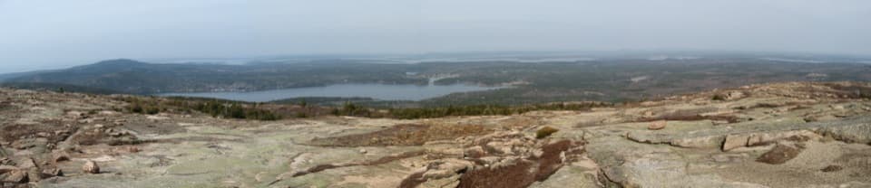 ChallengingSargent South Ridge Trail2.8 mi · 4.5 hr · At the trailheadA steady south-ridge climb to Sargent’s open, far-reaching summit.
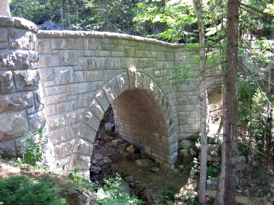 ModerateHadlock Loop Carriage Road4.2 mi · 2.2 hr · 0.4 mi awayA gravel loop to three stone bridges, including a 40-foot waterfall.
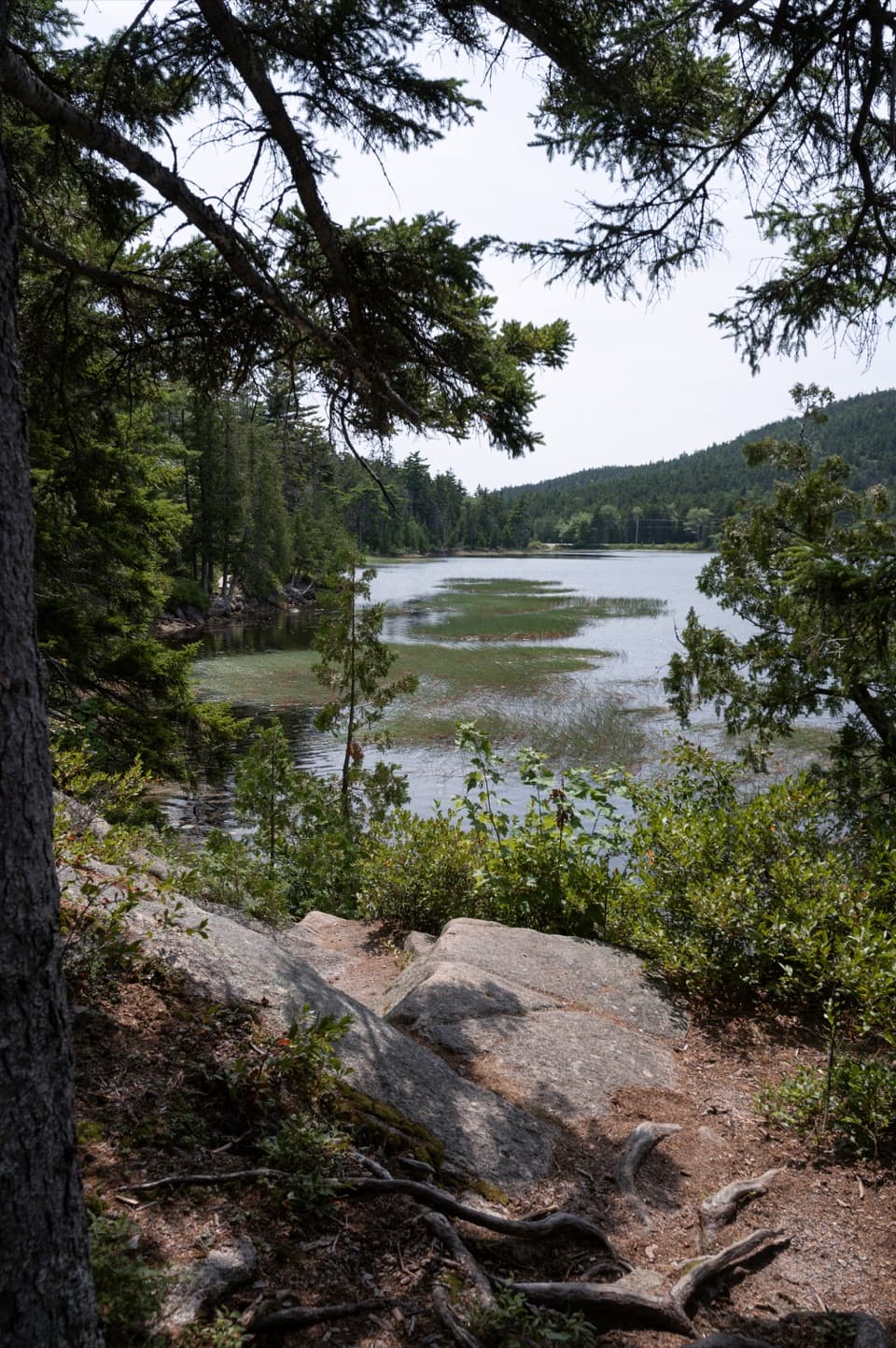 EasyHadlock Ponds Trail1.6 mi · 1.3 hr · 0.5 mi awayEasy pondside walking and a 1926 carriage-road bridge at the far end.
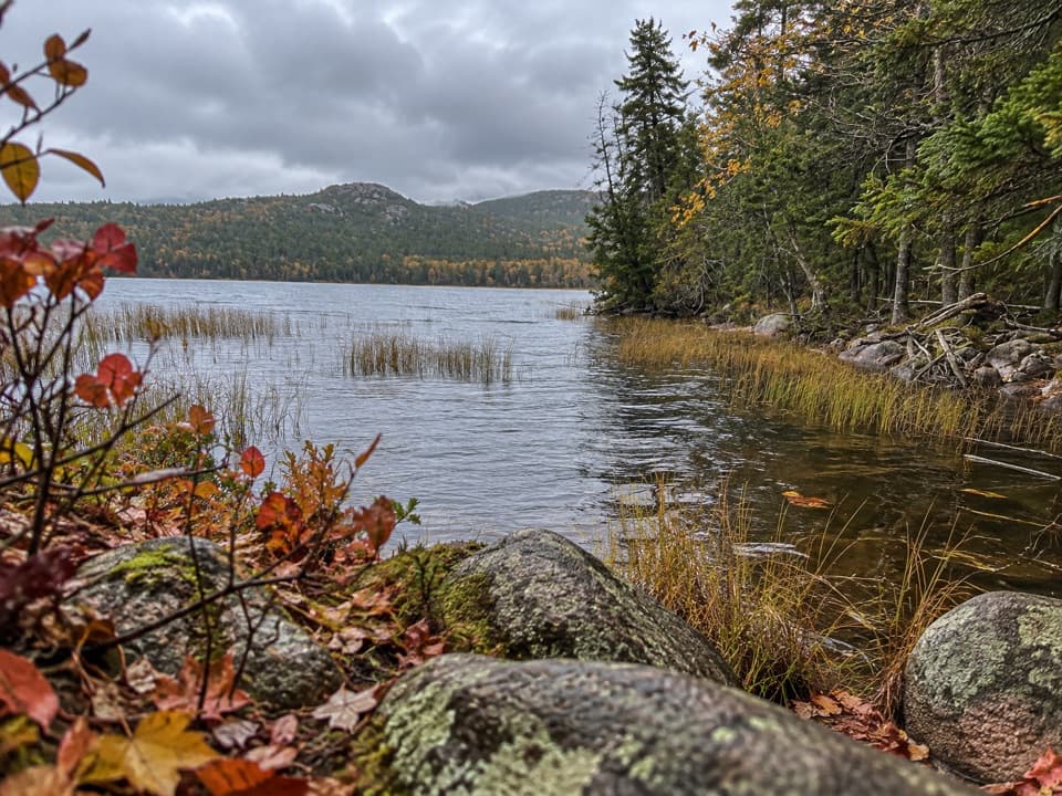 EasyLower Hadlock Trail0.6 mi · 30 min · 0.5 mi awayA gentle shoreline connector with a trail story from 1881.
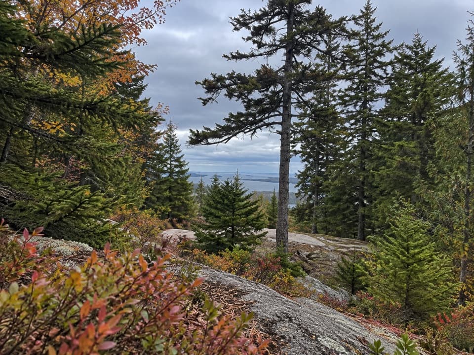 EasyAsticou Ridge Trail0.8 mi · 30 min · 0.5 mi awayA short ridge link from Eliot Mountain into the Asticou path.
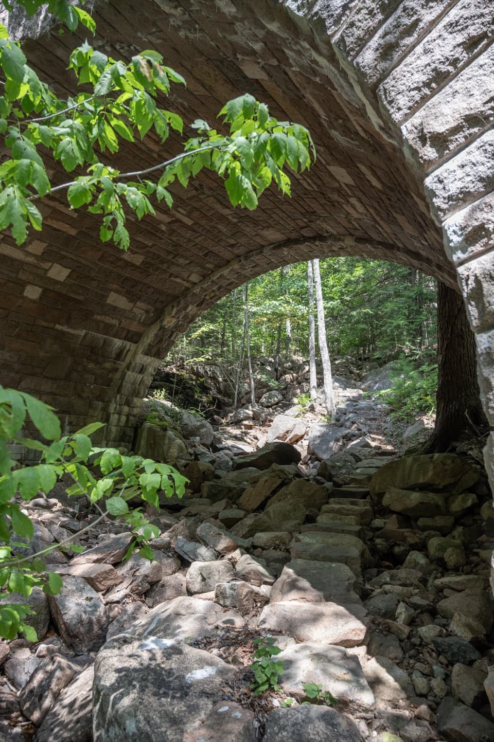 ModerateAmphitheater Trail1.4 mi · 1.5 hr · 0.6 mi awayA wooded climb beneath a landmark pink-granite arch.
 ModerateGolf Course Trail0.5 mi · 30 min · 1 mi awayA 1914 spur on Norumbega's wooded southwest flank.
 ChallengingJordan Cliffs Trail1.5 mi · 2 hr · 1.2 mi awayIron rungs, exposed ledges, and a sweeping look over Jordan Pond
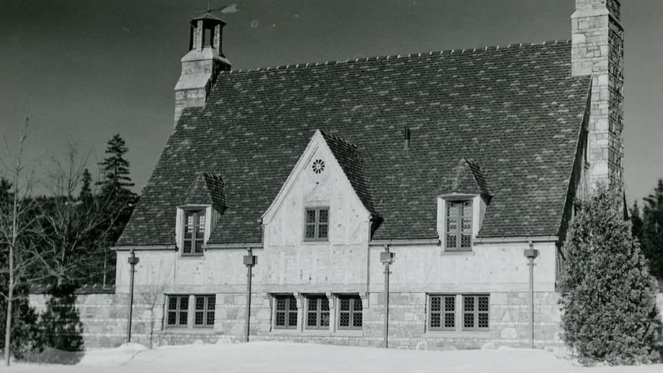 Sight · 0.4 mi awayBrown Mountain GatehouseA 1932 stone-and-brick gate marks the carriage-road entrance.
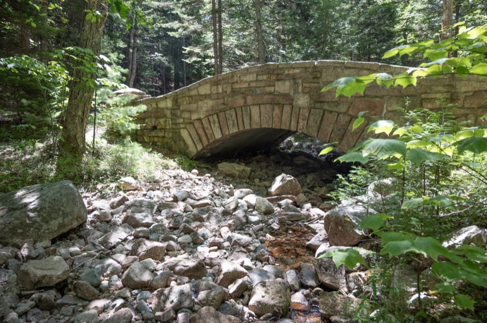 Sight · 0.6 mi awayLittle Harbor Brook BridgeA 1919 granite-faced arch over a shallow brook on car-free roads.
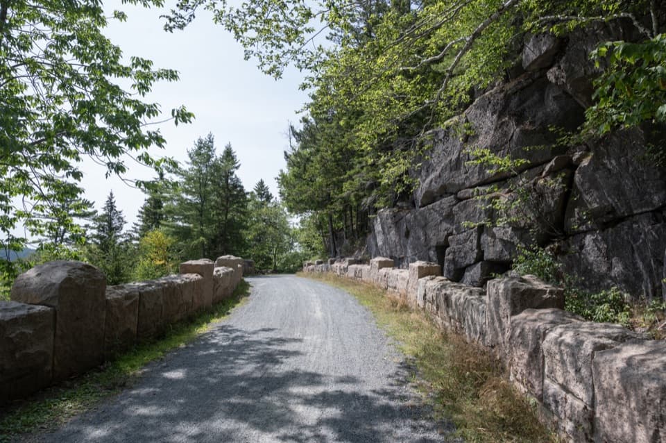 Sight · 0.8 mi awayCliffside BridgeA 1932 stone bridge with castle turrets above Jordan Stream.
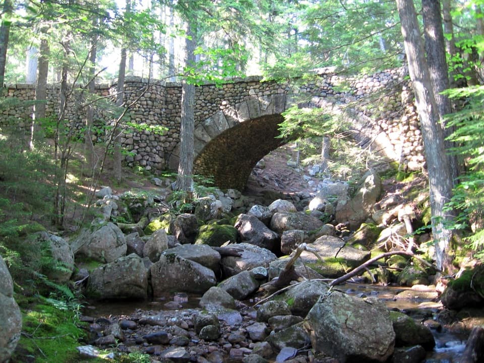 Sight · 0.9 mi awayCobblestone BridgeA 1917 carriage-road bridge with an unusual cobblestone arch.
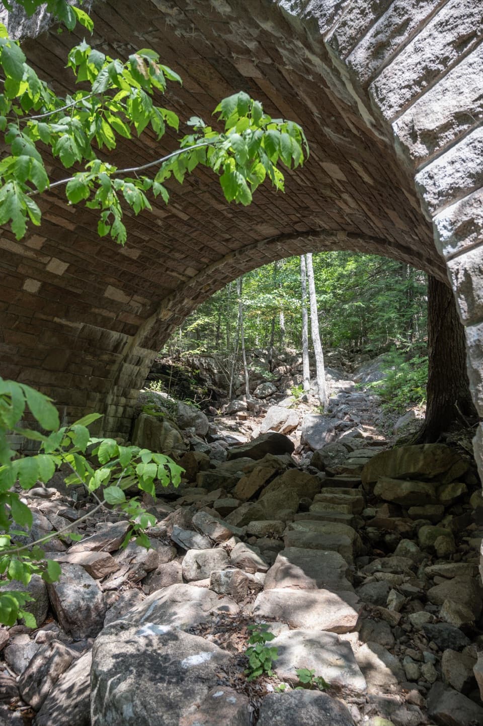 Sight · 1 mi awayAmphitheatre BridgeA granite arch curves around two trees toward a waterfall.
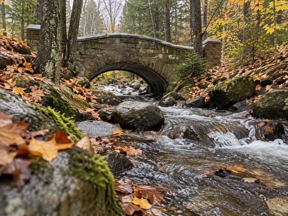 Sight · 1.1 mi awayHadlock Brook BridgeA small stone arch on the car-free Hadlock Loop.
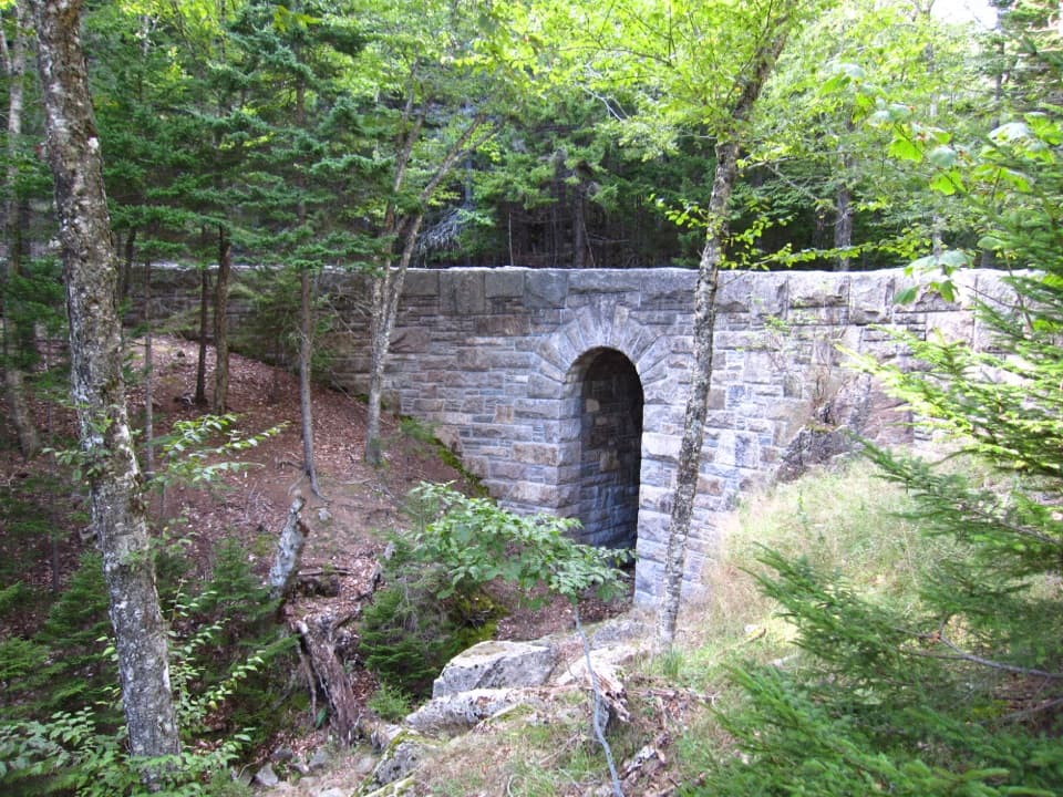 Sight · 1.3 mi awayWest Branch Jordan Stream BridgeA granite carriage-road bridge with a six-foot Roman arch.
 Restaurant · 1.4 mi awayJordan Pond HouseTea and popovers with Jordan Pond and The Bubbles in view
Parkwolf’s Acadia ranking

The audio tour guide for the drive, plus offline maps, trails, and wildlife heatmaps for when the signal drops.





