Parking
No parking is available at the Route 3 trailhead beside the Acadia Inn, across from College of the Atlantic. Approach on area sidewalks. The mapped connector ends at Duck Brook Road; plan your return or onward carriage-road route separately.
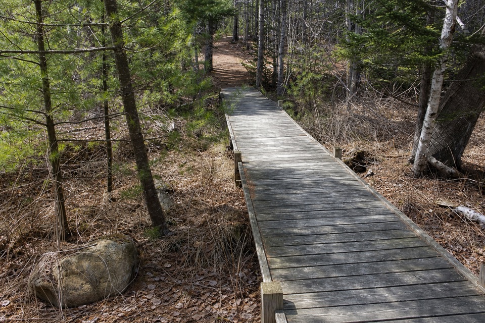
Acadia National Park, ME
A quick village link to Acadia’s carriage roads
Overview
Map & elevation
Plan your hike

The highest, rockiest slopes around here are a summer buffet for grizzly bears.
Acadia Tour Guide
Parkwolf is a GPS audio tour guide for Acadia National Park. As you drive, it chimes in with what’s ahead: hidden gems, upcoming stops, history, geology, and wildlife, right through your car’s speakers.
Recorded for this area
The Loon Beneath the Surface“If you spot a loon on one of the lakes, watch what happens when it dives. Its solid bones help it sink, while its feet, set far back on the body, drive it through the water after fish.”
Plays on the road 0.1 mi from the trailhead in the Parkwolf Acadia Tour Guide.
More stories near here in the app
“…As we drove through Acadia it gave us a tour, which was really cool. Lots of great info about the parks and how to avoid the crowds. It’s a great travel companion!”


Trail guide
Duck Brook Connector Trail is a 0.46-mile point-to-point walk from Route 3 beside the Acadia Inn to Duck Brook Road. That distance is for the mapped connector in one direction; walking back the same way makes it about 0.92 mile. Allow roughly 15–20 minutes each way. It’s a useful way to reach the carriage-road network on foot, while the longer outings to Duck Brook Bridge are separate routes.
The Route 3 entrance is across from College of the Atlantic. There is no parking at the trailhead, so approach on area sidewalks. The connector climbs about 140 feet through a wooded corridor before meeting Duck Brook Road. From there you can turn back or choose a longer carriage-road walk; that extra mileage is not included here. A visitor photo from the path shows a boardwalk section, but the whole connector’s surface is not documented. Dogs are allowed on a leash no longer than six feet.
The trail was dedicated on National Trails Day in 2012 as the fifth of Mount Desert Island’s Village Connector Trails. Its appeal is practical: it joins the Route 3 corridor to Acadia’s carriage roads without making the bridge itself the destination. Treat Duck Brook Bridge as a separate stop reached by a longer walk through the carriage-road system.
Wildlife
 130 sightingsBald EagleMost seen around noonSighting map
 21 sightingsPeregrine FalconMost seen around 10 AMSighting map
 396 sightingsWhite-tailed DeerMost seen around 7 PMSighting map
 305 sightingsPorcupineMost seen around 7 PMSighting map
 201 sightingsBeaverMost seen around 7 PMSighting map
 34 sightingsMinkMost seen around 7 PMSighting map
Sighting maps show where each species has been reported across Acadia. Wildlife moves, so no sighting is guaranteed.
Keep exploring
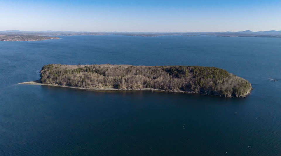 EasyBar Island Trail1.9 mi · 1.3 hr · 0.7 mi awayWalk a low-tide bar to an island summit above Bar Harbor.
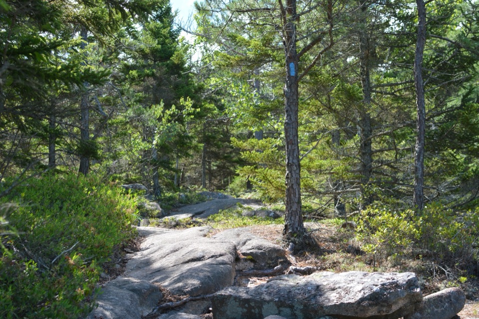 ModerateKebo Brook Trail to Kebo Mountain2 mi · 1.5 hr · 1.1 mi awayA wooded approach ends in a short, steep granite summit climb.
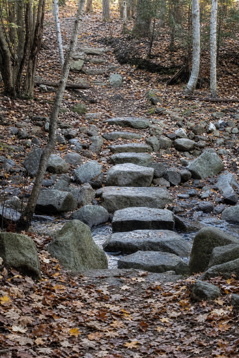 EasyKebo Brook Trail1 mi · 36 min · 1.1 mi awayFlat stones carry this wooded walk across the brook.
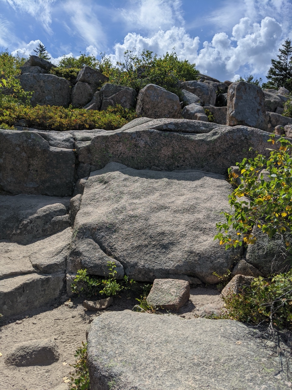 ModerateCadillac Mountain North Ridge Trail4.4 mi · 3.3 hr · 1.2 mi awaySteep granite climbing earns broad island views one ledge at a time.
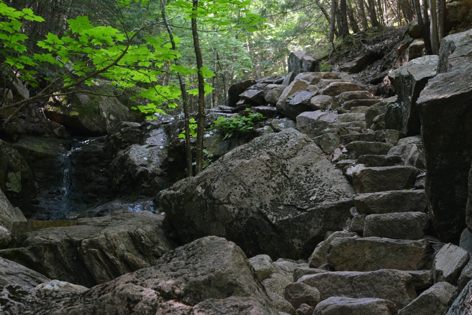 ChallengingGorge Path3.1 mi · 2.7 hr · 1.2 mi awayA steep, stream-cut gorge between Cadillac and Dorr.
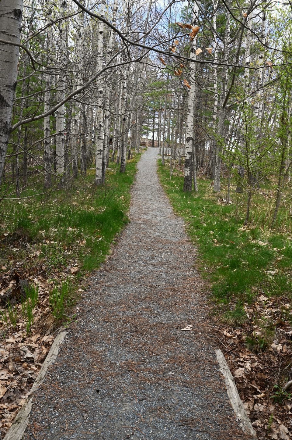 EasyGreat Meadow Loop1.8 mi · 1 hr · 1.4 mi awayA level wetland loop at the edge of Bar Harbor.
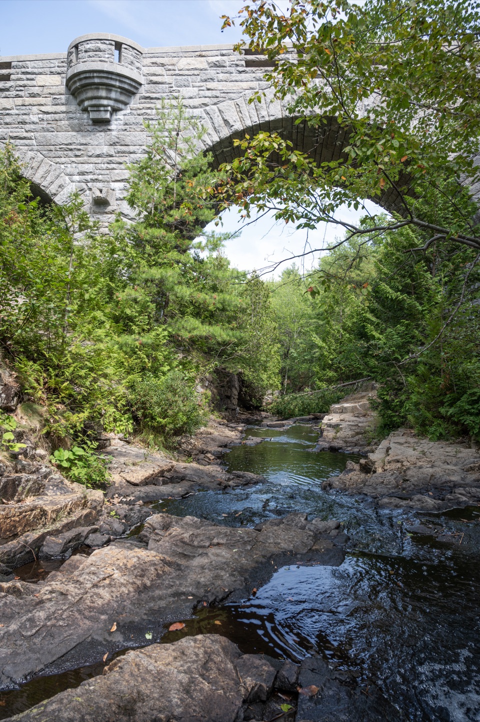 EasyWitch Hole Pond Loop4.8 mi · 2.5 hr · 1.6 mi awayPondside miles lead to a 1929 bridge and small cascade.
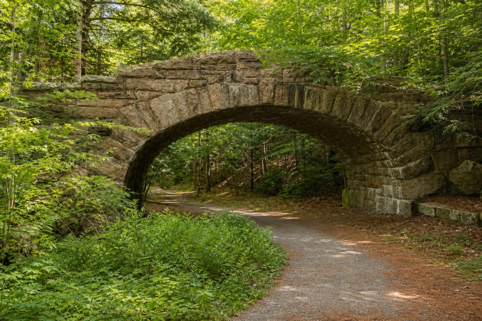 ModerateTri-Lakes Loop10.9 mi · 5 hr · 1.7 mi awayA long circuit links three lakes and five stone bridges.
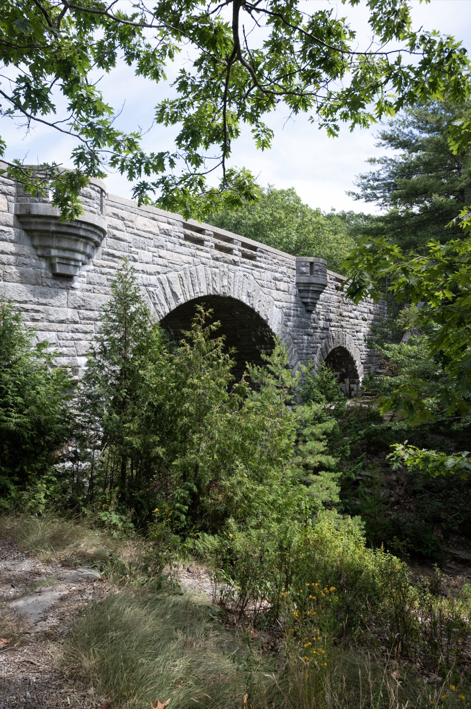 Sight · 0.7 mi awayDuck Brook BridgeA 207-foot, three-arch landmark on the car-free carriage roads.Sight · 0.8 mi awayBar IslandCross from Bar Harbor to a wooded island over the exposed seabed.
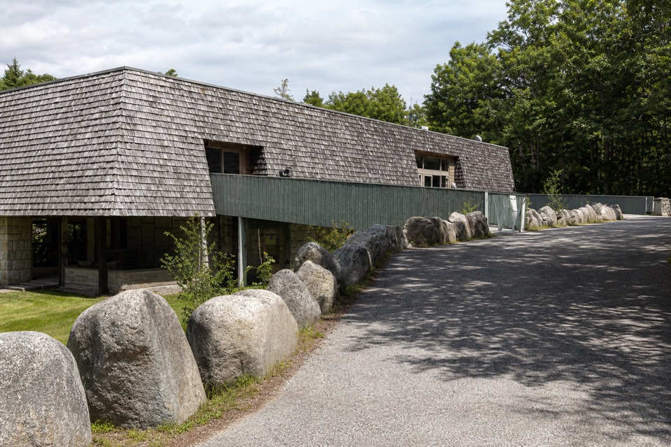 Visitor center · 1.5 mi awayHulls Cove Visitor CenterA smart first stop for maps, passes, and a route plan.
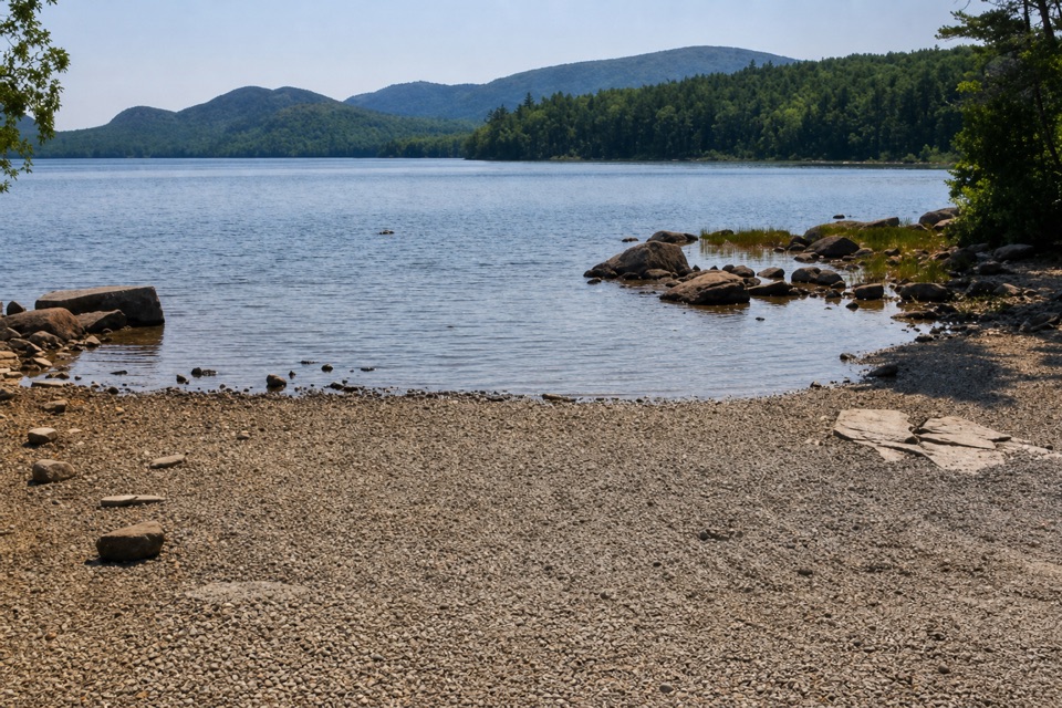 Sight · 1.7 mi awayEagle Lake Boat RampA practical lake launch with carriage-road access and a North Bubble view.
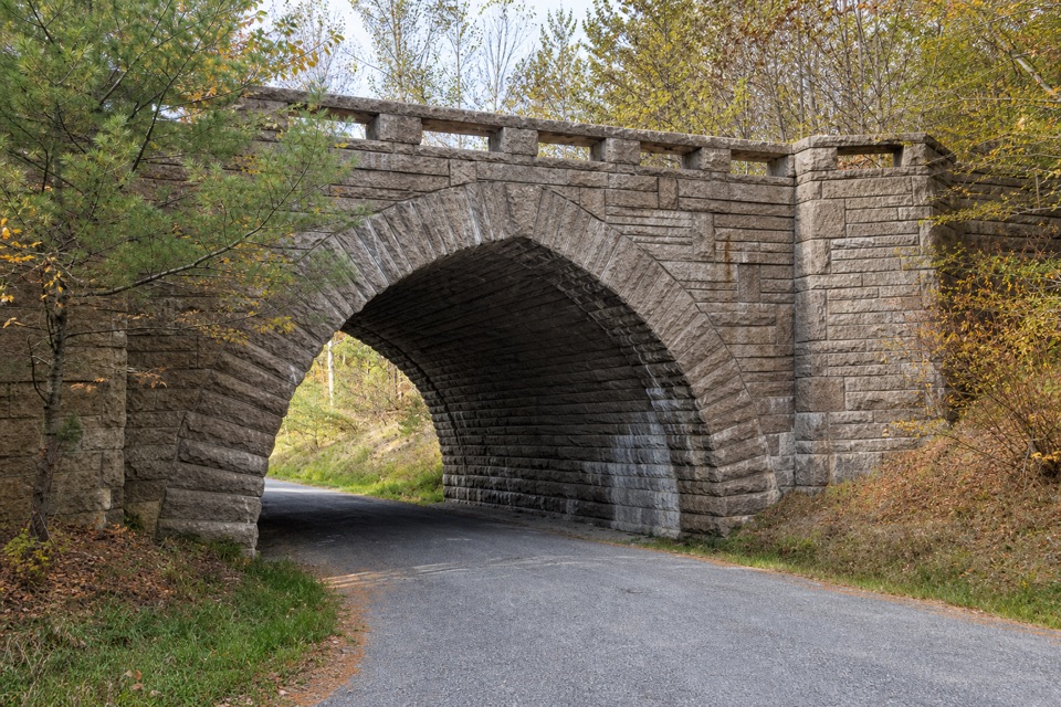 Sight · 1.9 mi awayEagle Lake BridgeA stone arch carries Route 233 over a motor-free carriage road.
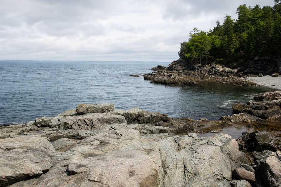 Sight · 2.1 mi awayCompass Harbor and OldfarmA short wooded walk leads from Dorr's estate ruins to rocky shoreline.
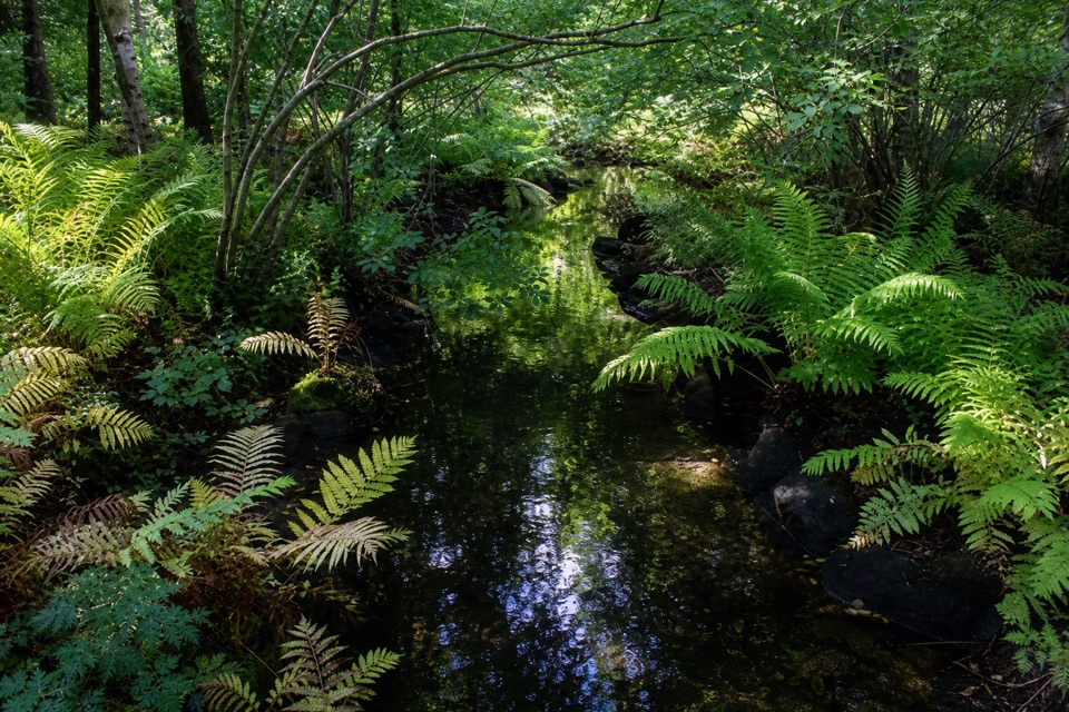 Sight · 2.4 mi awayWild Gardens of AcadiaA compact, labeled tour through native plant habitats.
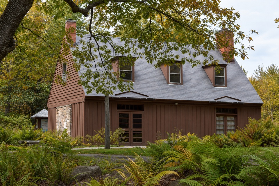 Visitor center · 2.4 mi awaySieur de Monts Nature CenterA smart first stop for Acadia’s trail choices and natural history.
Parkwolf’s Acadia ranking

The audio tour guide for the drive, plus offline maps, trails, and wildlife heatmaps for when the signal drops.





