Parking
Use the limited roadside Gorge Path parking area off Park Loop Road beside the Kebo Brook bridge. No public transit serves this trailhead; an Acadia entrance pass is required.

Acadia National Park, ME
A steep, stream-cut gorge between Cadillac and Dorr.
Overview
Map & elevation
Plan your hike

The highest, rockiest slopes around here are a summer buffet for grizzly bears.
Acadia Tour Guide
Parkwolf is a GPS audio tour guide for Acadia National Park. As you drive, it chimes in with what’s ahead: hidden gems, upcoming stops, history, geology, and wildlife, right through your car’s speakers.
See the Acadia audio tourRecorded for this trailhead
Gorge Path Between Cadillac and Dorr“You're approaching the Park Loop Road access for Gorge Path, which climbs a narrow, wooded ravine between Cadillac and Dorr Mountains.”
Plays as you drive up to this trailhead in the Parkwolf Acadia Tour Guide.
More stories near here in the app
“…As we drove through Acadia it gave us a tour, which was really cool. Lots of great info about the parks and how to avoid the crowds. It’s a great travel companion!”


Trail guide
Gorge Path is a rugged 3.1-mile out-and-back from the Park Loop Road bridge over Kebo Brook to the Cadillac-Dorr Connector, climbing through the narrow wooded ravine between Cadillac and Dorr. The brook, small cascades and granite stairways are the point; either summit is a separate climb. Allow about 2½ to 3 hours for the rocky ascent and return.
Steps drop from the bridge to the stream, then the path climbs upstream under dense trees. A small boardwalk and the Hemlock Trail junction come early; stay on Gorge Path. Farther in, the ravine narrows between steep rock walls. Flat stones help at several stream crossings, and granite steps tackle the steepest pitches. The brook is seasonal and tends to show more water in spring and after rain.
The standalone gorge hike ends at the Cadillac-Dorr Connector. Signs point toward Dorr on one side and Cadillac on the other; continuing to either summit adds distance and climbing. Cadillac's summit is about 0.4 mile farther one way from the connector. Turn around here for the Gorge Path route and return by the same corridor.
About a third of the way up, a bronze plaque honors Lilian Endicott Francklyn. Near the connector, frame the little cascade with the stone steps or stream in the foreground; the rock gives the water scale.
Expect steep, uneven granite, scrambling and several stream crossings. Wet rock is slippery and shaded sections dry slowly, so avoid the hike when the route is wet. Parking is limited at the roadside trailhead beside the bridge, and no public transit serves it. An Acadia entrance pass is required. Dogs may be leashed no longer than six feet, but the park does not recommend them on these steep stairs. There is no accessible restroom at the trailhead.
Wildlife
 131 sightingsBald EagleMost seen around noonSighting map
 21 sightingsPeregrine FalconMost seen around 10 AMSighting map
 403 sightingsWhite-tailed DeerMost seen around 7 PMSighting map
 307 sightingsPorcupineMost seen around 7 PMSighting map
 205 sightingsBeaverMost seen around 7 PMSighting map
 34 sightingsMinkMost seen around 7 PMSighting map
Sighting maps show where each species has been reported across Acadia. Wildlife moves, so no sighting is guaranteed.
Keep exploring
 ModerateCadillac Mountain North Ridge Trail4.4 mi · 3.3 hr · 0.4 mi awaySteep granite climbing earns broad island views one ledge at a time.
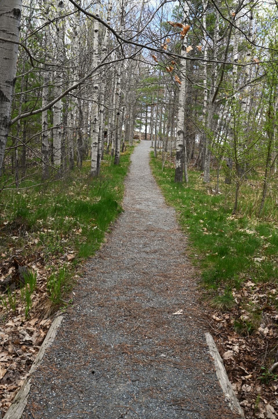 EasyGreat Meadow Loop1.8 mi · 1 hr · 0.5 mi awayA level wetland loop at the edge of Bar Harbor.
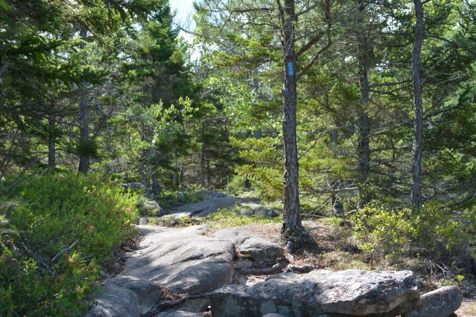 ModerateKebo Brook Trail to Kebo Mountain2 mi · 1.5 hr · 0.5 mi awayA wooded approach ends in a short, steep granite summit climb.
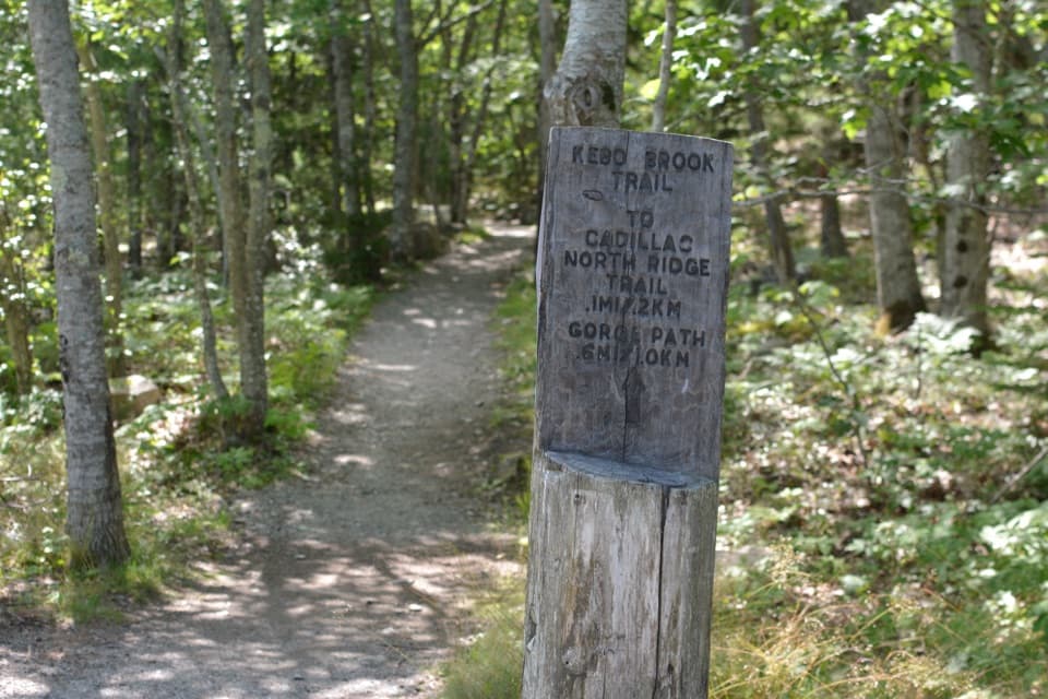 EasyKebo Brook Trail1 mi · 36 min · 0.5 mi awayFlat stones carry this wooded walk across the brook.
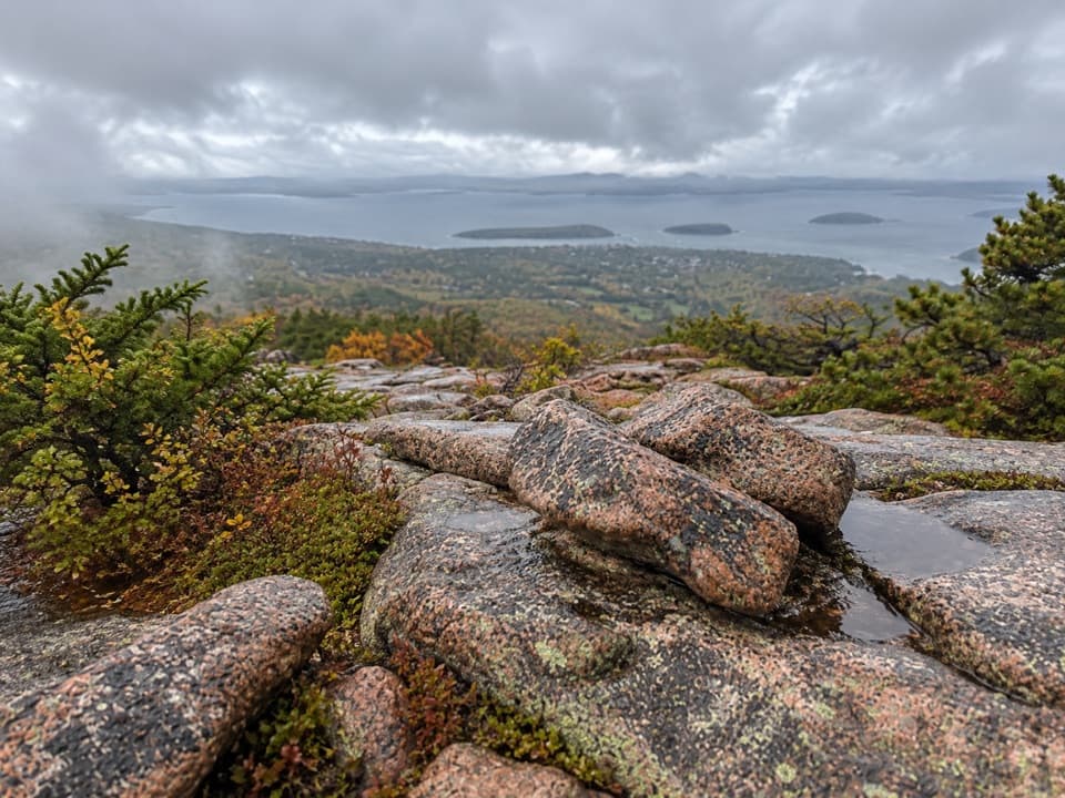 ChallengingDorr Mountain North Ridge Trail1.1 mi · 1.5 hr · 0.8 mi awayA steep granite ridge with harbor and island views.
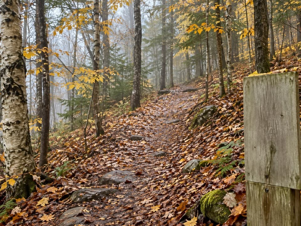 EasyStratheden Path0.7 mi · 30 min · 0.9 mi awayA woodland link from Hemlock Trail to Park Loop Road.
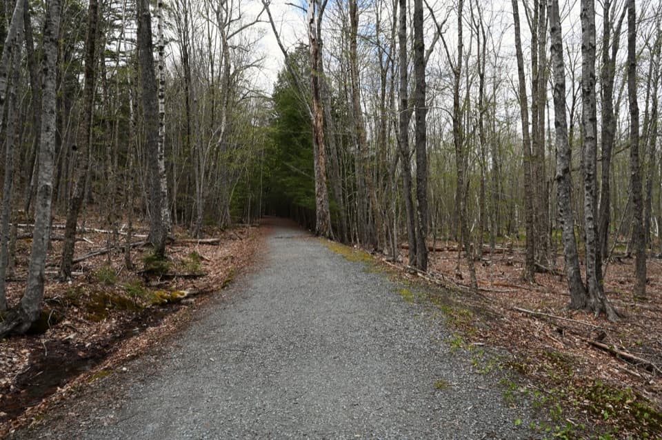 EasyHemlock Trail0.5 mi · 24 min · 0.9 mi awayA short forest link for stitching together the Dorr-side trails.
 ModerateTri-Lakes Loop10.9 mi · 5 hr · 1.1 mi awayA long circuit links three lakes and five stone bridges.
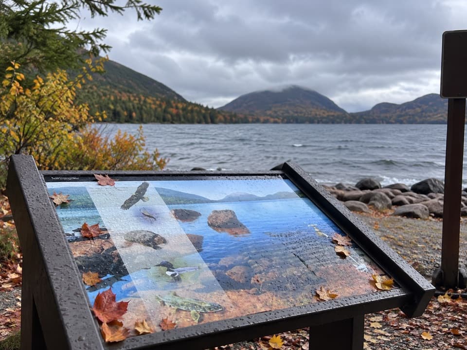 Sight · 1.1 mi awayEagle Lake Boat RampA practical lake launch with carriage-road access and a North Bubble view.
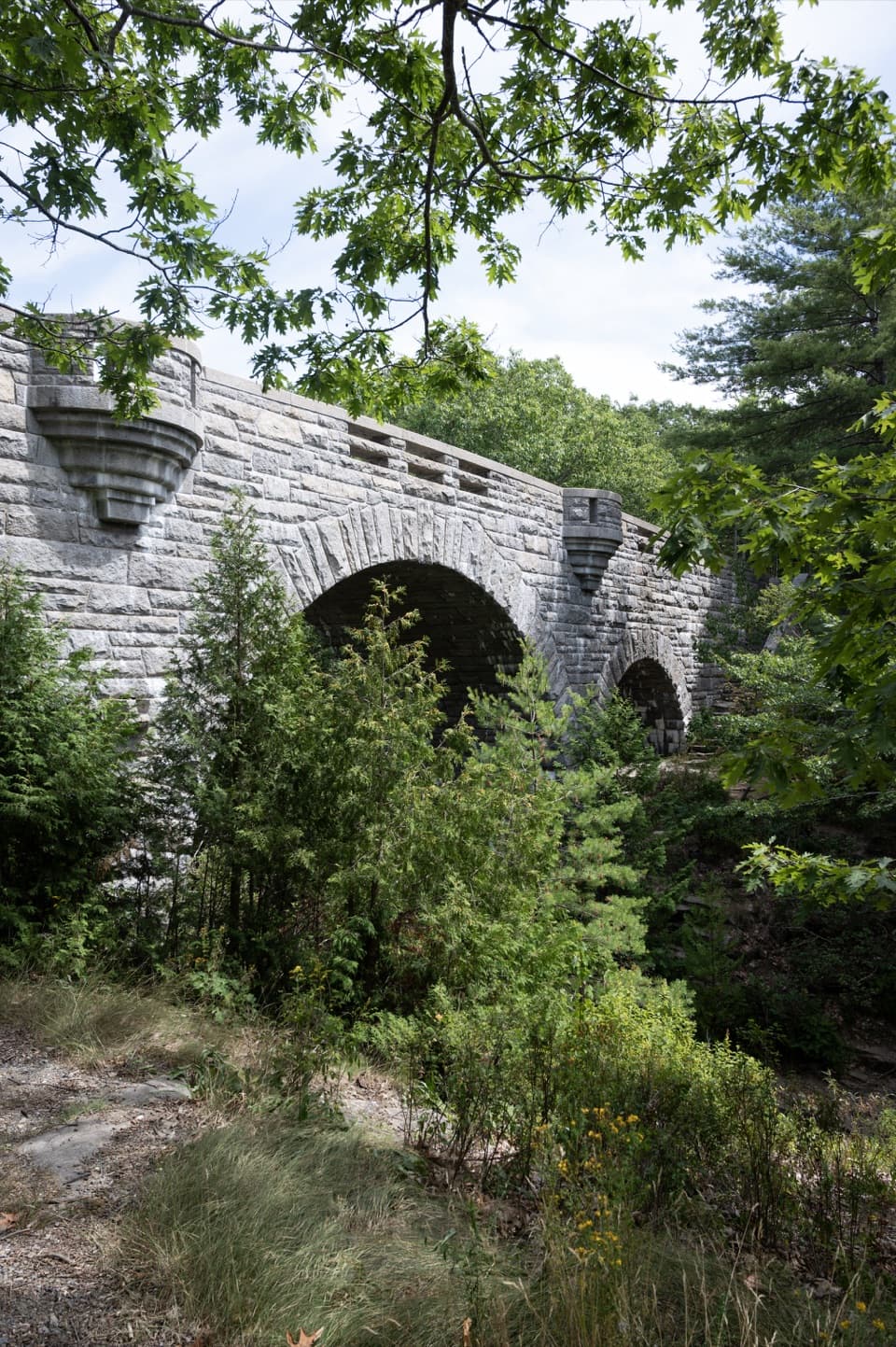 Sight · 1.2 mi awayDuck Brook BridgeA 207-foot, three-arch landmark on the car-free carriage roads.
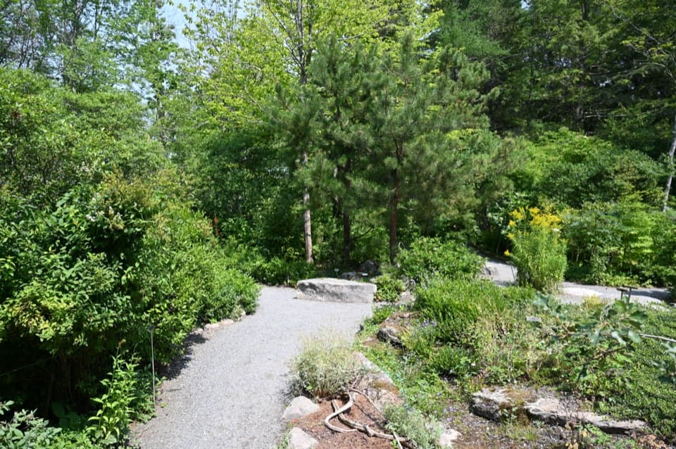 Sight · 1.2 mi awayWild Gardens of AcadiaA compact, labeled tour through native plant habitats.
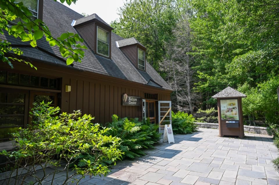 Visitor center · 1.3 mi awaySieur de Monts Nature CenterA smart first stop for Acadia’s trail choices and natural history.
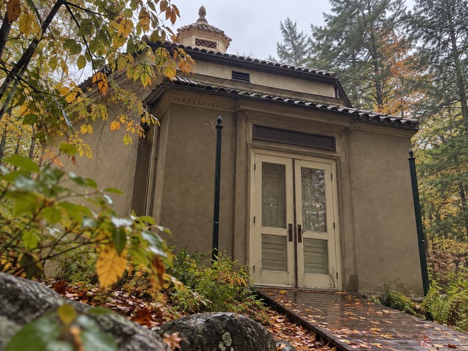 Sight · 1.4 mi awayAbbe Museum at Sieur de Monts SpringThe Abbe’s original 1928 museum, tucked into the Sieur de Monts woods.
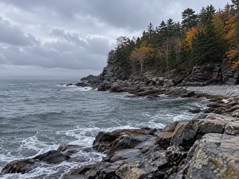 Sight · 1.5 mi awayCompass Harbor and OldfarmA short wooded walk leads from Dorr's estate ruins to rocky shoreline.
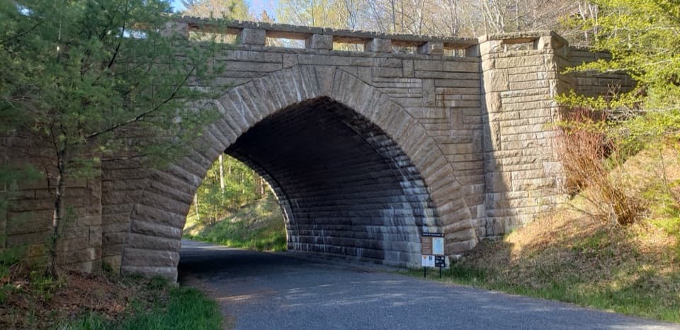 Sight · 1.5 mi awayEagle Lake BridgeA stone arch carries Route 233 over a motor-free carriage road.
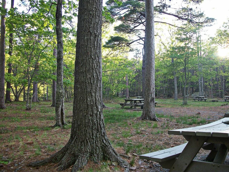 Picnic area · 1.6 mi awayBear Brook Picnic AreaA wooded lunch stop with grill-ready pits and accessible toilets.
Parkwolf’s Acadia ranking

The audio tour guide for the drive, plus offline maps, trails, and wildlife heatmaps for when the signal drops.





