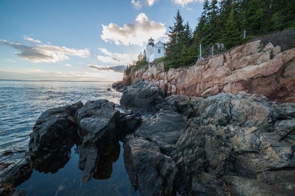
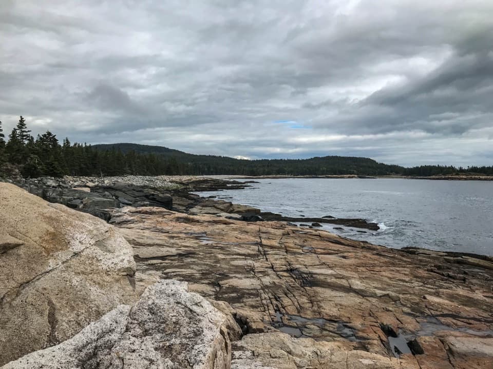
Bar Island in Acadia National Park

Sight · Acadia National Park

Bar Island

Cross from Bar Harbor to a wooded island over the exposed seabed.

Photo: Wikimedia Commons
Type
Sight
Nearest trail
0.5 mi
Audio stories
14 nearby
  • Scenic viewpoint
  • #12 of 54 sights

Hear the audio tour

Bar Island’s Low-Tide Crossing

Overview

About Bar Island

Why stop

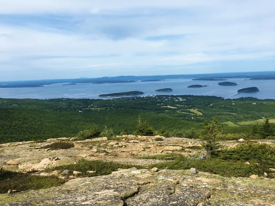
  • The island high point looks back to Bar Harbor, Frenchman Bay, and the mountains.

Heads up

  • A missed tide window can keep you waiting for hours.

Map

Where it is

Loading the Acadia map
Full map
SightBar Island44.39853, -68.20743
Keep this map with you offline in the Parkwolf app

Plan your stop

Before you go

3 active Acadia alerts

  • ClosureSouthern Ocean Path section closed for repairsThe southern section of Ocean Path is closed for repairs from the trailhead across from the Otter Point parking lot to the trail’s southern terminus.Official details
  • ClosureSchoodic Mountain Road closed for repairsSchoodic Mountain Road is closed for repairs from Schoodic Loop Road to the summit of Schoodic Head.Official details
See all 3 alerts
A park ranger sits on a dash-mounted phone, talking, as Parkwolf’s Tour Guide plays “Army Cutworm Moths: A Grizzly Bear Buffet” on Grand Loop Road below Dunraven Pass in Yellowstone
Parkwolf Tour GuideThe highest, rockiest slopes around here are a summer buffet for grizzly bears.

Acadia Tour Guide

Your drive to Bar Island, narrated.

Parkwolf is a GPS audio tour guide for Acadia National Park. As you drive, it chimes in with what’s ahead: hidden gems, upcoming stops, history, geology, and wildlife, right through your car’s speakers.

See the Acadia audio tour

Recorded for this place

Bar Island’s Low-Tide Crossing
0:00 / 0:35
“You're nearing the Bar Harbor access for Bar Island, where low tide uncovers a sand-and-gravel walking route from town. That bar gave Bar Harbor its name.”

Plays as you drive up to Bar Island in the Parkwolf Acadia Tour Guide.

More stories near here in the app

  • The Loon Beneath the Surface
  • The Bat's Feeding Buzz
  • The Paycheck Behind the Park
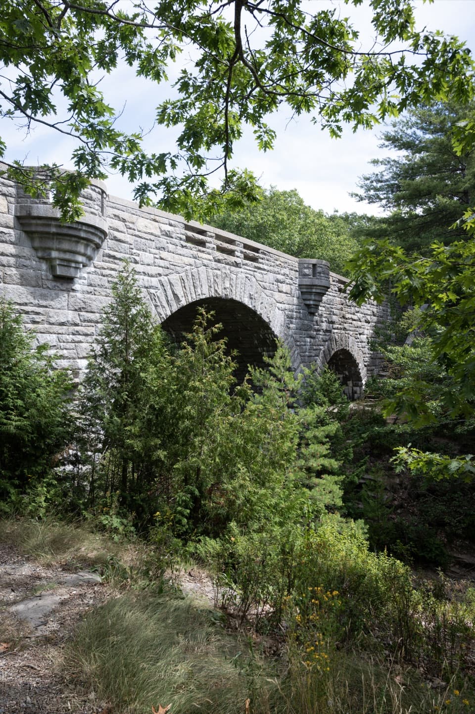
  • Duck Brook Bridge and Farrand’s Landscape
  • 116 audio storiesacross Acadia’s roads, triggered by GPS as you drive
  • Wildlife heatmapsfor Bald Eagle, Peregrine Falcon, White-tailed Deer, and 13 more
  • Works offlinemaps, 142 trails, 72 places, and audio download before you lose signal
  • CarPlay readysimple controls built for the drive
★★★★★
“…As we drove through Acadia it gave us a tour, which was really cool. Lots of great info about the parks and how to avoid the crowds. It’s a great travel companion!”
MyMysteryChicaApp Store review
Download Parkwolf on the App StoreGet Parkwolf on Google Play

4.7 from 8,600+ ratings

Guide

More about Bar Island

How to reach the islandBar Island is a wooded island in Frenchman Bay, reached on foot from downtown Bar Harbor across…

Bar Island is a wooded island in Frenchman Bay, reached on foot from downtown Bar Harbor across a natural sand-and-gravel bar. At low tide, the exposed crossing makes this a rare walk from town straight onto an island. Plan for a round trip, not a quick look from the mainland: the bar alone is about half a mile each way before you explore the island. Start at Bridge Street; drivers should use downtown parking and keep the street and bar clear. Acadia requires an entrance pass year-round.

Let low tide set the scheduleThe bar is walkable for roughly 1½ hours on either side of low tide.

The bar is walkable for roughly 1½ hours on either side of low tide. Check a tide chart before setting out, start early in that window and choose a firm turnaround time. Once water covers the crossing, it can be about nine hours before safe walking return is possible. Wear sturdy closed-toe shoes for the uneven sand, gravel and shore rocks, which can be wet underfoot.

Follow the old road inlandThe Bar Island Trail climbs gradually on an old road through the woods, with a spur to a former…

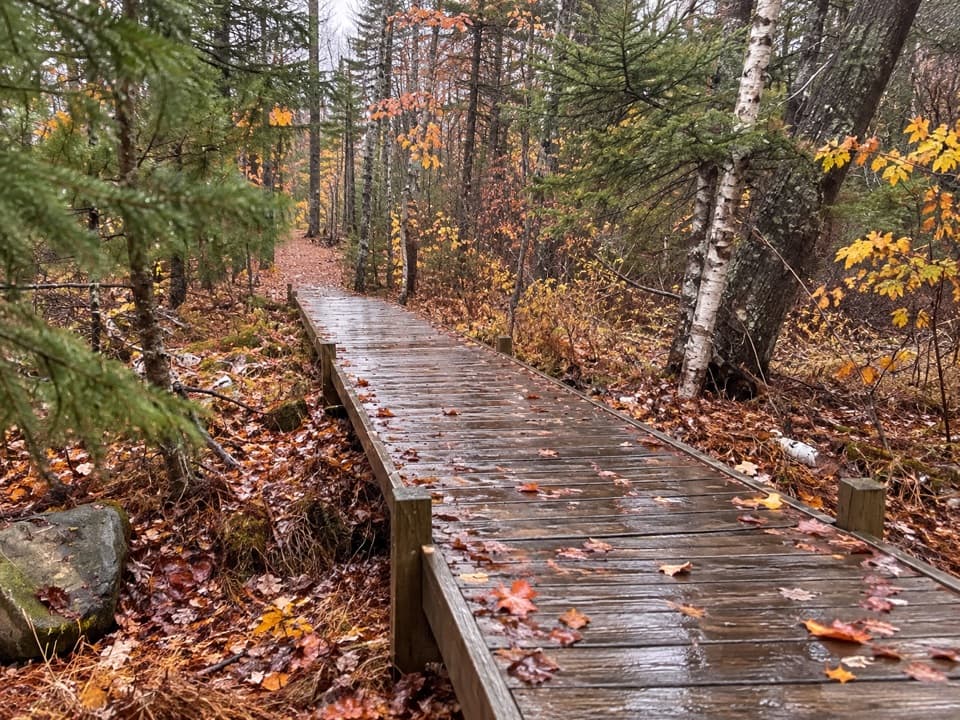
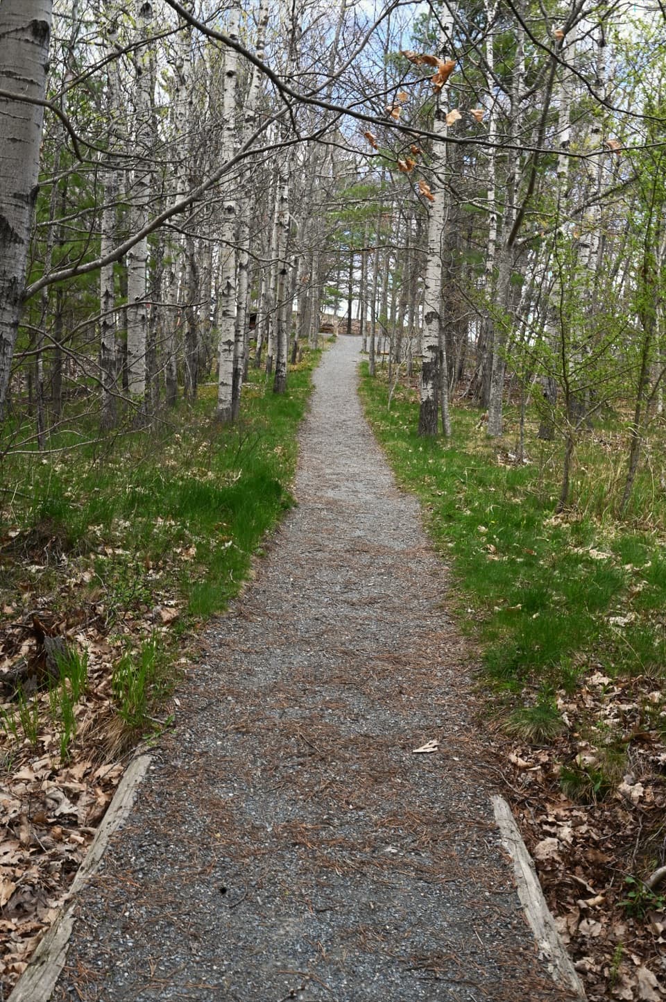
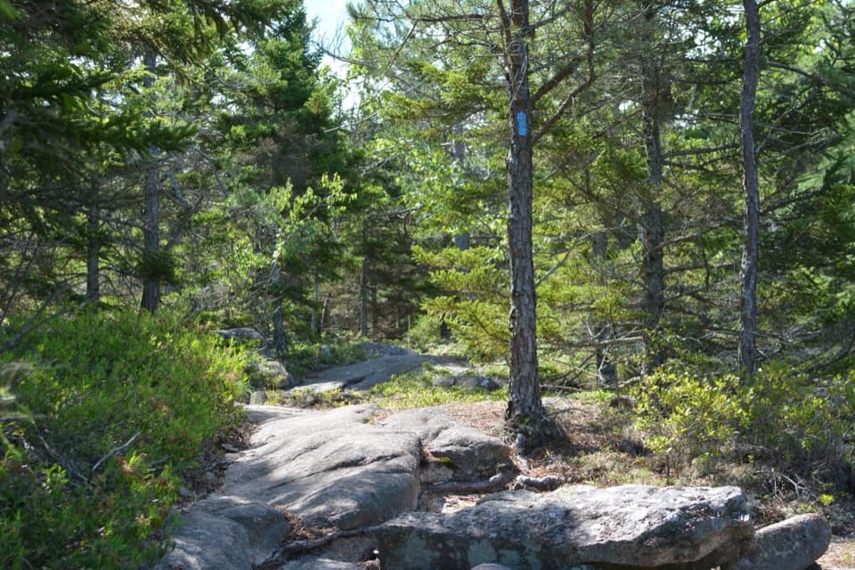
The Bar Island Trail climbs gradually on an old road through the woods, with a spur to a former homesite and a route toward the island's high point. Including the town crossing, the round trip is about 1.9 miles and usually takes 45 to 90 minutes. Roots and uneven ground make it a poor fit for anyone who needs an accessible route. From the high point, look back toward Bar Harbor, Frenchman Bay and the mountains. For a photo that explains the outing, include the island's edge or the exposed bar rather than framing only the trees.

Explore the intertidal shoreAs the water falls, seaweed-covered rocks expose a small marine world: periwinkle snails, tiny…

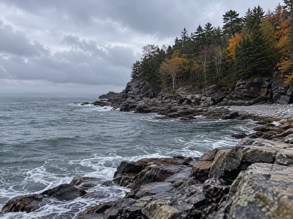
As the water falls, seaweed-covered rocks expose a small marine world: periwinkle snails, tiny snail eggs, sea stars and Jonah crabs. Move slowly and look closely along the water's edge; the best details are easy to miss if you hurry across the shore.

Farms, sheep and island lifeFamilies lived and worked on Bar Island before it became part of Acadia.

Families lived and worked on Bar Island before it became part of Acadia. Sheep grazed here, and residents gathered clams and fished for Atlantic herring nearby. The Rodick family farmed on the island for more than a century and kept raising sheep after succeeding in Bar Harbor's hotel business. A walk to the former homesite gives that history a place on the landscape, rather than leaving it as a name in a book.

Wildlife

Wildlife in Acadia

All Acadia wildlife maps

Sighting maps show where each species has been reported across Acadia. Wildlife moves, so no sighting is guaranteed.

Keep exploring

Near Bar Island

See it all on the map

Trails nearby

More stops nearby

Parkwolf’s Acadia ranking

Top sights in Acadia

All 72 places
  1. 1Cadillac MountainSight
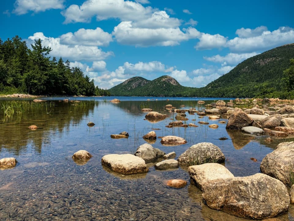
  2. 2Jordan PondSight
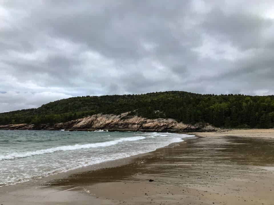
  3. 3Sand BeachBeach
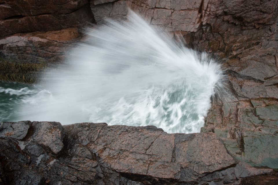
  4. 4Thunder HoleSight
  5. 5Bass Harbor Head Light StationSight
  6. 6Schoodic PointSight

Take Parkwolf to Acadia.

The audio tour guide for the drive, plus offline maps, trails, and wildlife heatmaps for when the signal drops.

4.7 from 8,600+ ratings

Download Parkwolf on the App StoreGet Parkwolf on Google Play