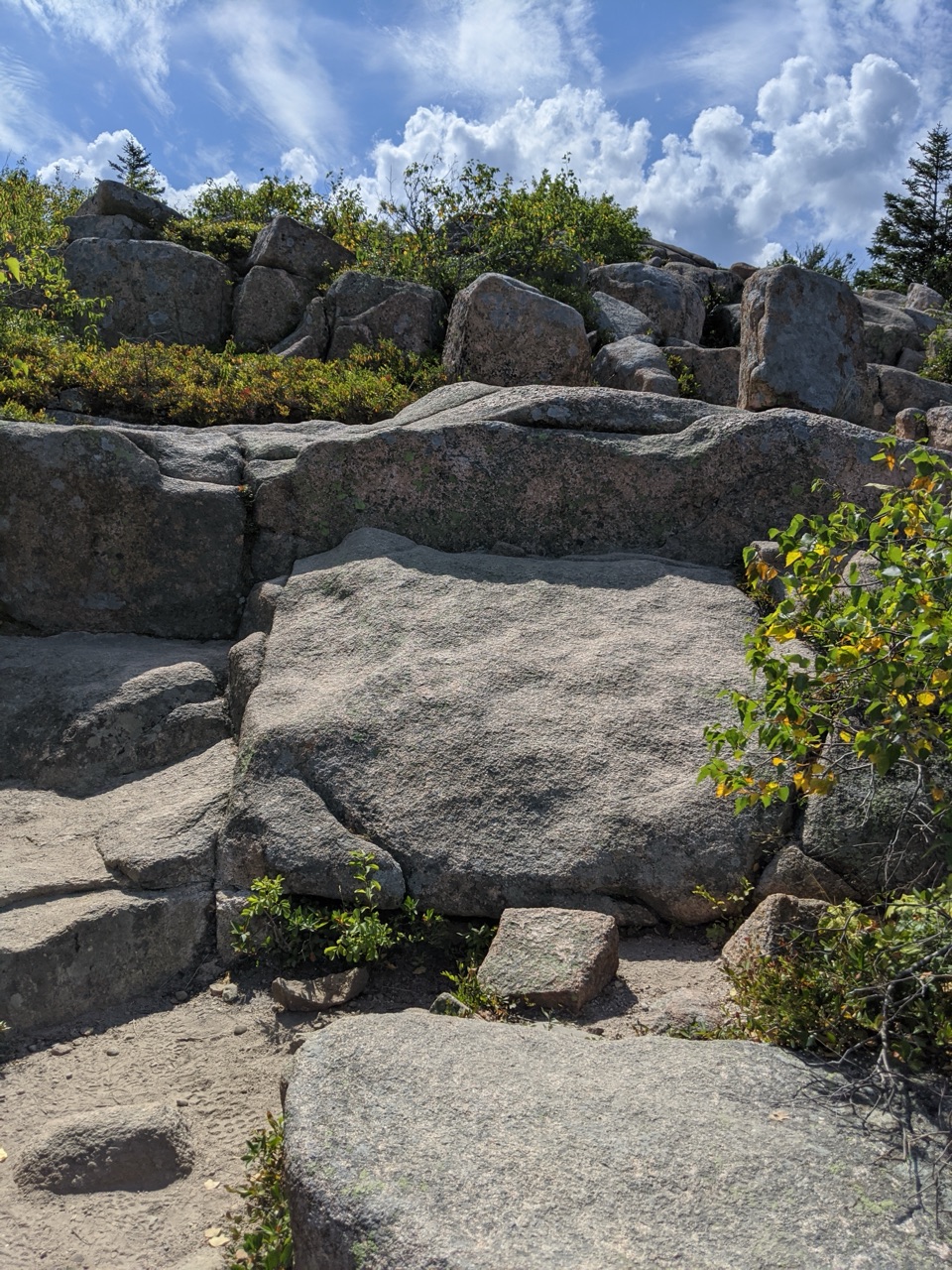
Cadillac Mountain North Ridge Trail in Acadia National Park

#10 of 142 trails in Acadia

Acadia National Park, ME

Cadillac Mountain North Ridge Trail

Steep granite climbing earns broad island views one ledge at a time.

Photo: National Park Service
Length
4.4mi
Time
3.3hr
Elev. change
1,106ft
Difficulty
Moderate
  • Dogs allowed
  • High point 1,490 ft

Hear the audio tour

Cadillac Mountain’s North Ridge

Overview

About Cadillac Mountain North Ridge Trail

Why go

  • Open views arrive well before the summit.
  • Hike to Cadillac without driving the summit road.

Heads up

  • A long climb over uneven granite and stair sections.
  • Roadside parking is extremely limited, especially at sunrise.

Map & elevation

The route

Loading the Acadia map
Full map
Elevation384–1,490 ft
TrailheadCadillac North Ridge Trailhead at Park Loop Road44.37854, -68.22988
Keep this map with you offline in the Parkwolf app

Plan your hike

Before you go

Parking

Use the small Cadillac North Ridge roadside pull-off on Park Loop Road, just past the start of its one-way section toward Sand Beach, then cross the road to the trail. Spaces are extremely limited. The Island Explorer stop named Cadillac North Ridge connects by about 0.1 mile on Kebo Brook Trail; the bus runs mid-June through October.


Safety

Steep sections and uneven granite make footing demanding; exposed granite can be slippery when wet, and the upper ridge can be windy and cold. The route is not accessible.

4 active Acadia alerts

  • CautionAvoid water contact at Sand Beach LagoonDo not swim at Sand Beach Lagoon. - Bacterial levels have exceeded public-health standards, so the NPS has posted a Public Health Advisory.Official details
  • ClosureSchoodic Mountain Road closed for repairsSchoodic Mountain Road is closed from Schoodic Loop Road to the summit of Schoodic Head. - The closure began August 31 for resurfacing, regrading, and ditching.Official details
See all 4 alerts
A park ranger sits on a dash-mounted phone, talking, as Parkwolf’s Tour Guide plays “Army Cutworm Moths: A Grizzly Bear Buffet” on Grand Loop Road below Dunraven Pass in Yellowstone
Parkwolf Tour GuideThe highest, rockiest slopes around here are a summer buffet for grizzly bears.

Acadia Tour Guide

Your drive to Cadillac Mountain North Ridge Trail, narrated.

Parkwolf is a GPS audio tour guide for Acadia National Park. As you drive, it chimes in with what’s ahead: hidden gems, upcoming stops, history, geology, and wildlife, right through your car’s speakers.

Recorded for this trailhead

Cadillac Mountain’s North Ridge
0:00 / 0:23
“You're nearing Cadillac Mountain's North Ridge trailhead, where the climb opens to bay views well before the top. Allow two and a half to four hours for the four point four mile return hike over steep granite and steps.”

Plays as you drive up to this trailhead in the Parkwolf Acadia Tour Guide.

More stories near here in the app

  • Kebo Brook and Kebo Mountain
  • Dorr Mountain’s North Ridge Access
  • Gorge Path Between Cadillac and Dorr
  • The Paycheck Behind the Park
  • 116 audio storiesacross Acadia’s roads, triggered by GPS as you drive
  • Wildlife heatmapsfor Bald Eagle, Peregrine Falcon, White-tailed Deer, and 13 more
  • Works offlinemaps, 142 trails, 72 places, and audio download before you lose signal
  • CarPlay readysimple controls built for the drive
★★★★★
“…As we drove through Acadia it gave us a tour, which was really cool. Lots of great info about the parks and how to avoid the crowds. It’s a great travel companion!”
MyMysteryChicaApp Store review
Download Parkwolf on the App StoreGet Parkwolf on Google Play

4.7 from 8,600+ ratings

Trail guide

Hiking Cadillac Mountain North Ridge Trail

The north ridge to CadillacCadillac Mountain North Ridge Trail is a 4.

Cadillac Mountain North Ridge Trail is a 4.4-mile out-and-back from Park Loop Road to the north side of Cadillac’s summit parking area. Allow 2.5 to 4 hours. The climb gains about 1,100 feet over rocky granite and stair sections, with views as the trees thin. It’s a real climb, but a satisfying way to reach Cadillac on foot. The trail ends north of the summit marker; the separate half-mile loop adds more views.

Start before the pull-off fillsThe roadside start crosses from a small pull-off just past the beginning of the one-way stretch…

The roadside start crosses from a small pull-off just past the beginning of the one-way stretch toward Sand Beach. Parking is extremely limited and often fills early, especially around sunrise. The Island Explorer’s Cadillac North Ridge stop connects by 0.1 mile along Kebo Brook Trail, with steps and a road crossing. That bus connection runs mid-June through October. Return to your start on foot; there is no summit shuttle. A park entrance pass is required, but this hike does not need a Cadillac Summit Road vehicle reservation. Park Loop Road closes to vehicles in winter.

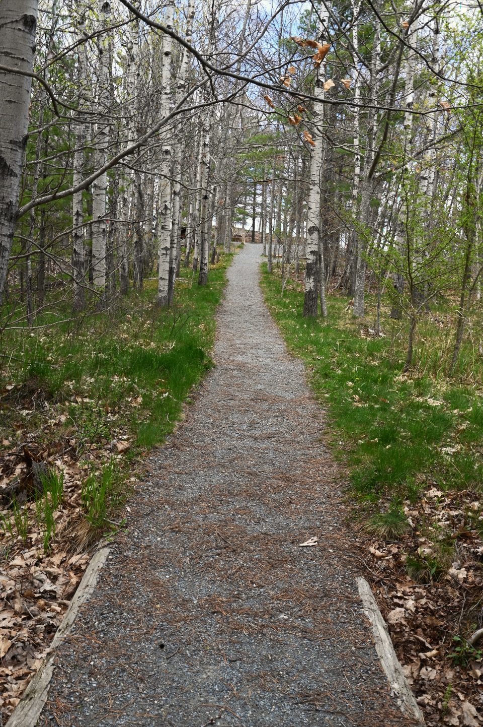
The climb changes as you goIt starts gently over granite and through woods, then the thinning trees open views.

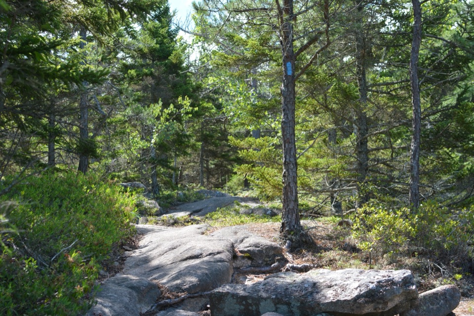
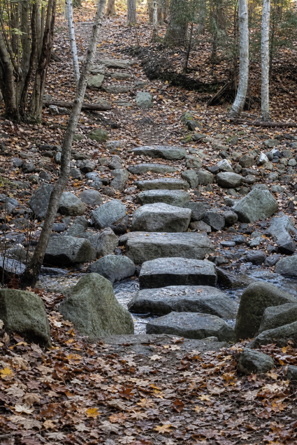
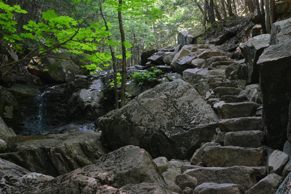
It starts gently over granite and through woods, then the thinning trees open views. Around a mile in, loose rock and granite steps make the tread rougher; after another 0.3 mile, the slope steepens and opens up. It briefly follows the summit road; follow blue blazes and Bates cairns, then keep right at the fork before the summit. The upper ridge is exposed and can be windy. For a sunrise start, bring a headlamp and a warm, wind-resistant layer.

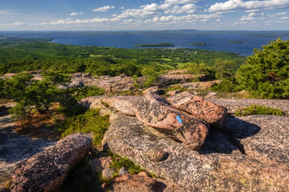
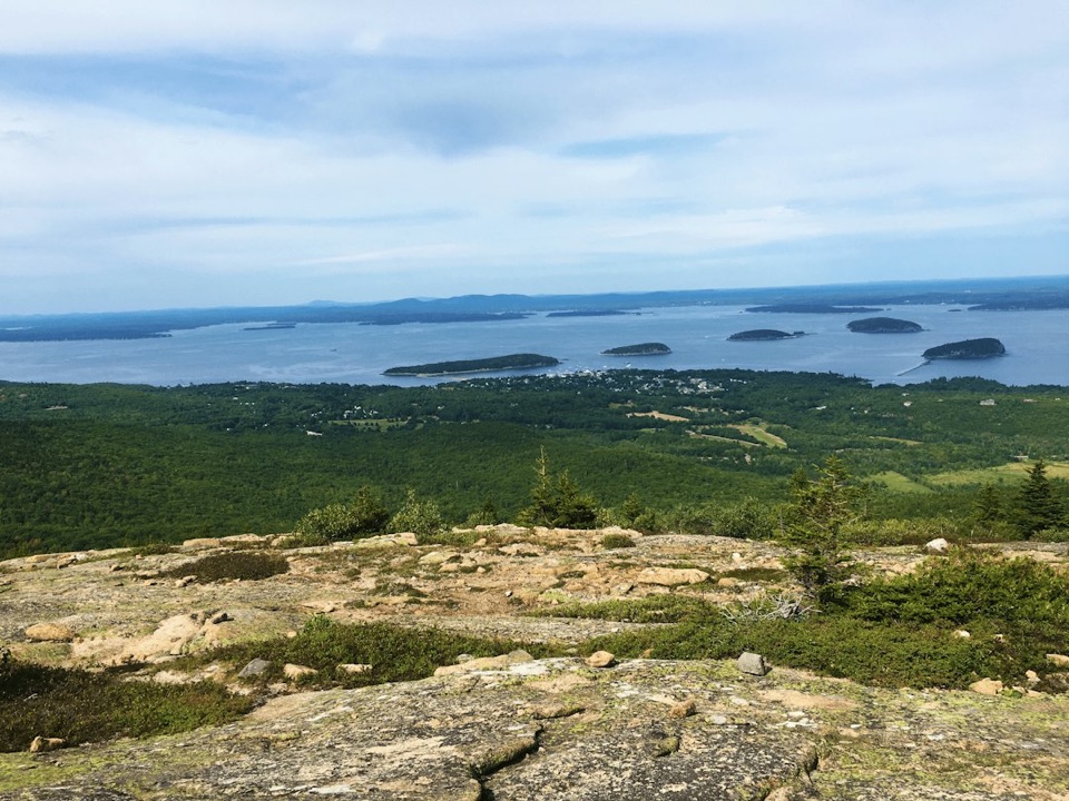
Look north from the open slabsAbove tree line, look north and east toward Bar Harbor, Frenchman Bay, the Porcupine Islands…

Above tree line, look north and east toward Bar Harbor, Frenchman Bay, the Porcupine Islands and Schoodic Peninsula. The view starts below the summit, over pink granite and small red pines. Stop on durable rock and turn north for a photo with a slab in the foreground and the bay beyond; it gives the phone shot a sense of the exposed ridge. Keep to the marked tread around the summit, where the plant communities are fragile.

The stone underfootThe granite here belongs to the Cadillac Mountain Granite body, roughly 420 million years old…

The granite here belongs to the Cadillac Mountain Granite body, roughly 420 million years old and the largest on Mount Desert Island. Much of Acadia’s bare bedrock was later scraped and polished by glaciers, whose last major advance peaked about 18,000 years ago. That mix of smooth slabs, broken blocks and shallow soils is why the route feels so different from a forest climb. Cadillac’s summit also supports a delicate subalpine-like plant community; stay on rock and trail rather than cutting across the low vegetation.

A long-used summitWabanaki communities are the island’s first inhabitants and continue to call it home, and…

Wabanaki communities are the island’s first inhabitants and continue to call it home, and people have climbed Cadillac for thousands of years. The summit later drew nineteenth-century visitors too: the Brewer family built the Mountain House there in the early 1860s, and construction began on the Green Mountain Cog Railway in 1883. Reaching the top on foot puts you in a long line of people drawn to the same open height, even though today’s trail arrives beside the summit parking lot.

What’s at the endAt the top, there’s a restroom and gift shop by the summit parking area.

At the top, there’s a restroom and gift shop by the summit parking area. The North Ridge route finishes on the lot’s north side; the 0.5-mile Cadillac Summit Loop is a separate walk, and the summit marker is a little farther toward the South Ridge side. If you turn around there, the return is the same rocky trail you climbed. Dogs are allowed on a leash no longer than six feet. The route has steep, uneven footing and is not accessible; exposed granite can be slippery when wet.

Wildlife

Wildlife in Acadia

All Acadia wildlife maps

Sighting maps show where each species has been reported across Acadia. Wildlife moves, so no sighting is guaranteed.

Keep exploring

Near Cadillac Mountain North Ridge Trail

See it all on the map

Trails that start nearby

Places near the trailhead

Parkwolf’s Acadia ranking

Top-rated trails in Acadia

All 142 trails
  1. 1Beehive Loop TrailChallenging · 1.4 mi
  2. 2Precipice TrailChallenging · 2.1 mi
  3. 3Jordan Pond PathModerate · 3.3 mi
  4. 4Bubbles TrailModerate · 1.5 mi
  5. 5Ocean PathEasy · 2.2 mi
  6. 6Cadillac Mountain South Ridge TrailChallenging · 7.8 mi

Take Parkwolf to Acadia.

The audio tour guide for the drive, plus offline maps, trails, and wildlife heatmaps for when the signal drops.

4.7 from 8,600+ ratings

Download Parkwolf on the App StoreGet Parkwolf on Google Play