Overview
About Mueller Lookout
Why stop
- Lake and glacier views after a short walk.
Heads up
- Fast-changing weather can hide the peaks or ice the track.
Map
Where it is

The highest, rockiest slopes around here are a summer buffet for grizzly bears.
Aoraki / Mount Cook Tour Guide
Your drive to Mueller Lookout, narrated.
Parkwolf is a GPS audio tour guide for Aoraki / Mount Cook National Park. As you drive, it chimes in with what’s ahead: hidden gems, upcoming stops, history, geology, and wildlife, right through your car’s speakers.
Recorded for this place
Hooker Valley and the Walk to Hooker Lake“You're approaching the access to Hooker Valley, where the main walk ends at Hooker Lake beneath Aoraki.”
Plays as you drive up to Mueller Lookout in the Parkwolf Aoraki / Mount Cook Tour Guide.
More stories near here in the app
- White Horse Hill and Kea Point
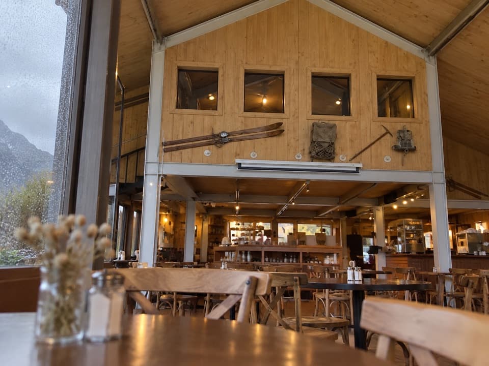
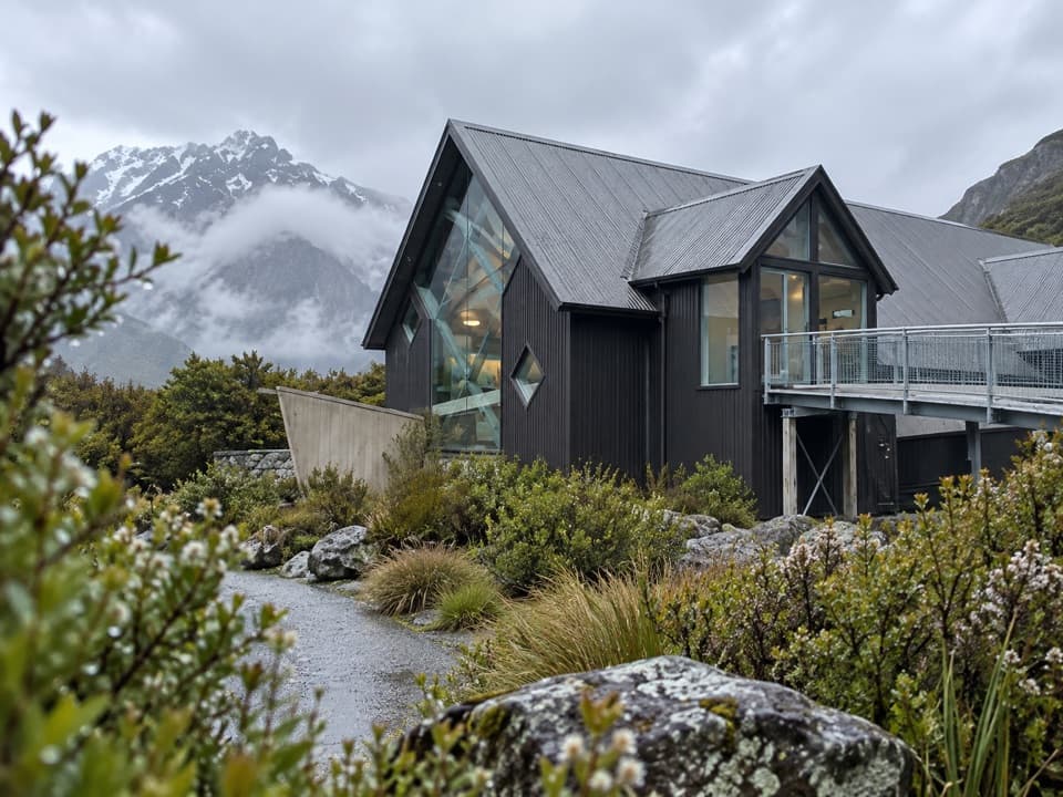
- Visitor Centre and Old Mountaineers’ Café
- The Hermitage and Hillary’s Alpine Centre
- Village Petrol Pumps and Bowen Bush Walk
- 24 audio storiesacross Aoraki / Mount Cook’s roads, triggered by GPS as you drive
- Wildlife heatmapsfor Kea, Rockwren, New Zealand Falcon, and 13 more
- Works offlinemaps, 15 trails, 30 places, and audio download before you lose signal
- CarPlay readysimple controls built for the drive
“Fantastic app with many points of information… It’s great to just turn on while you’re driving and it gives you an audio tour of the national Park. We love it!!!!”


Guide
More about Mueller Lookout
A short walk to a first viewMueller Lookout is a named viewpoint on the Hooker Valley Track, about 1 km and 15 minutes each…
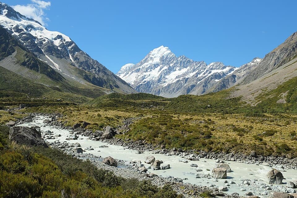
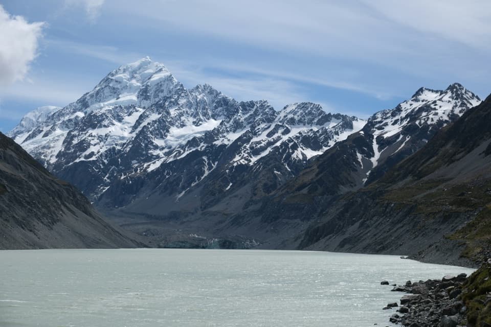
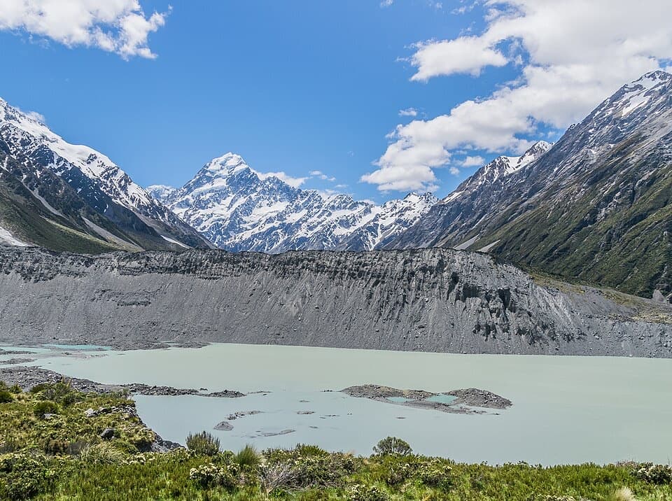
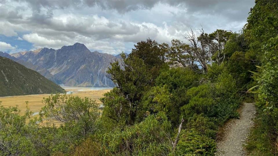
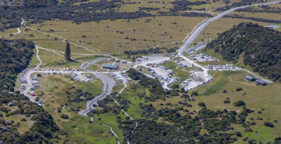
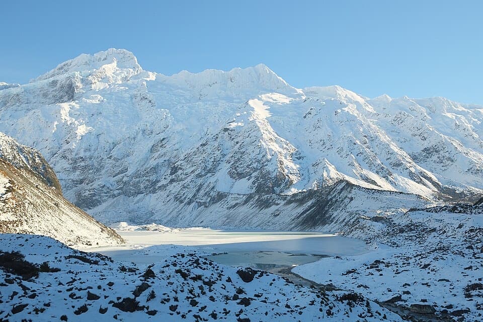
Mueller Lookout is a named viewpoint on the Hooker Valley Track, about 1 km and 15 minutes each way from White Horse Hill car park, just before the first swing bridge over the Hooker River. The gravel track has some steps. It’s a good short goal if you want a view of Mueller Lake and the glacier-backed peaks without walking all the way to Hooker Lake.
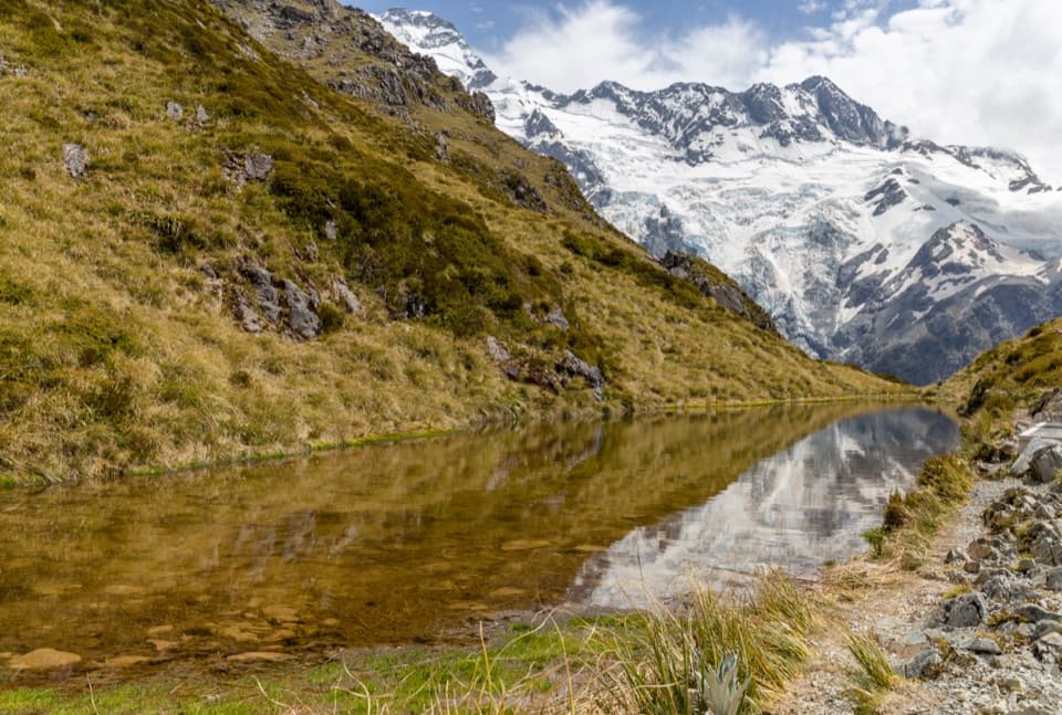
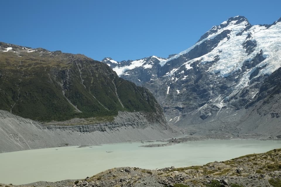
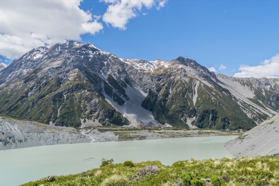
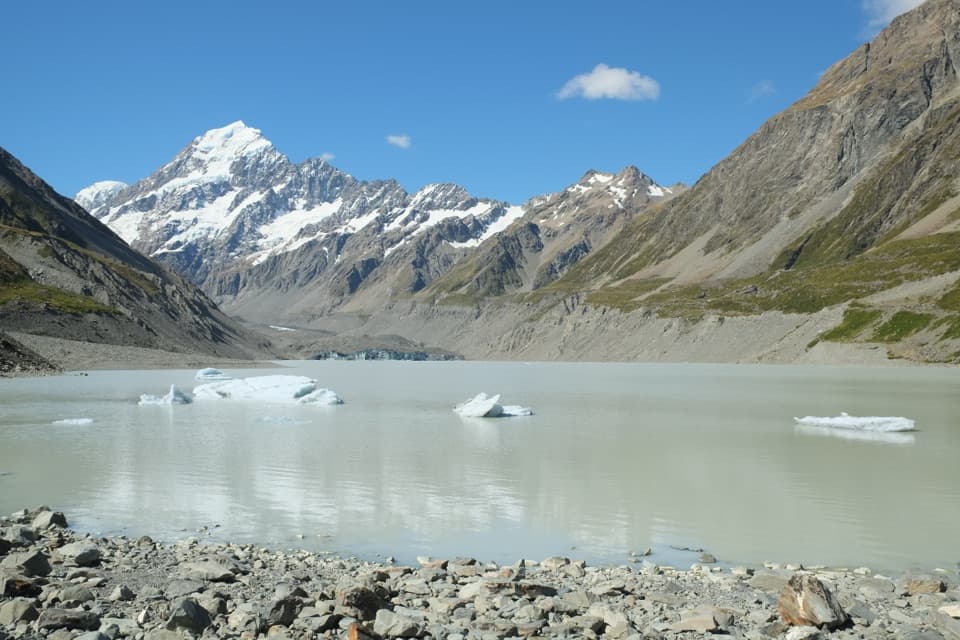
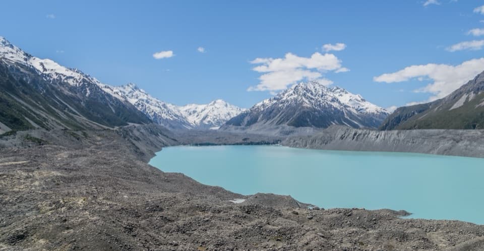
Look across the lakeThis is a quick pause for Mueller Lake, its glacier and the surrounding mountain faces.
This is a quick pause for Mueller Lake, its glacier and the surrounding mountain faces. A clear spell opens up the view. For a photo, keep a strip of lake beneath the peaks; it gives the steep slopes a sense of scale. Beyond the first bridge, the track runs over glacial moraine toward Kakīroa / Mount Sefton View Lookout, a separate stop farther up the valley.
Make the short visit workWhite Horse Hill is the start of the walk.
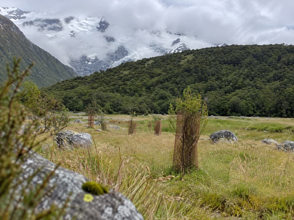
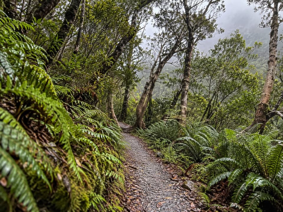
White Horse Hill is the start of the walk. The campground there has wheelchair-accessible toilets, a public shelter and treated drinking water. Alpine weather changes quickly, and shaded parts of the track can become very icy and slippery in winter; DOC recommends microspikes and hiking poles then. Dogs aren’t allowed on the track.
The wider valley’s meaningThe Hooker Valley is sacred to Ngāi Tahu and has Tōpuni status, a symbolic cloak of protection…
The Hooker Valley is sacred to Ngāi Tahu and has Tōpuni status, a symbolic cloak of protection that reflects its significance. That meaning belongs to the wider valley, not just this one viewpoint.
Wildlife
Wildlife in Aoraki /
 139 sightingsKeaMost seen around 9 AMSighting map
 73 sightingsRockwrenMost seen around 10 AMSighting map
 46 sightingsNew Zealand FalconMost seen around 10 AMSighting map
 15 sightingsKererūMost seen around 9 AMSighting map
 16 sightingsBellbirdMost seen around 7 AMSighting map
 33 sightingsBlack-fronted TernMost seen around 5 PMSighting map
Sighting maps show where each species has been reported across Aoraki / Mount Cook. Wildlife moves, so no sighting is guaranteed.