Parking
Use the shared Delicate Arch Viewpoints parking area and trailhead; the Upper and Lower walks start here.
Arches National Park, UT
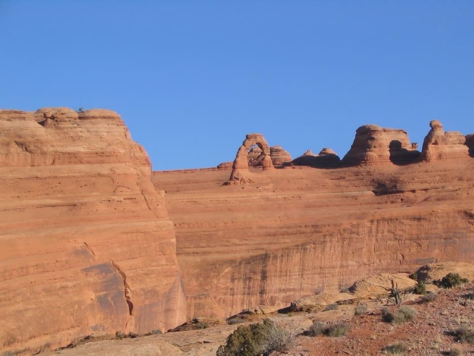
A short, steep climb to see Delicate Arch across the canyon.
Overview
Map & elevation
Plan your hike

The highest, rockiest slopes around here are a summer buffet for grizzly bears.
Arches Tour Guide
Parkwolf is a GPS audio tour guide for Arches National Park. As you drive, it chimes in with what’s ahead: hidden gems, upcoming stops, history, geology, and wildlife, right through your car’s speakers.
See the Arches audio tourRecorded for this trailhead
Delicate Arch Viewpoints“You're nearing the Delicate Arch Viewpoints, a quick way to see the famous arch without the long hike. Choose the level, wheelchair-accessible lower path for a brief look.”
Plays as you drive up to this trailhead in the Parkwolf Arches Tour Guide.
More stories near here in the app
“I can’t believe how helpful this app is and how interesting the information is for each highlight along the Arches Scenic Drive! This is the first park I’ve used it in.”


Trail guide
Upper Delicate Arch Viewpoint Trail is a steep out-and-back from the shared Delicate Arch Viewpoints trailhead to an elevated look at Delicate Arch. The mapped path runs about 0.36 miles from the lot to the upper viewpoint, so the full return walk is roughly 0.7 miles. The park's trail listing says 0.5 miles round trip; the posted and mapped distances disagree, so plan for the longer walk. Allow 30–45 minutes and about 171 feet of elevation change. From the top, Delicate Arch sits about a mile away across a canyon. This trail doesn't reach the arch; the separate hike to it starts at Wolfe Ranch.
The tread is firm, but this isn't a flat stroll. The route climbs over sloping ground and rock steps and stairs; about 45% of it is steeper than an 8% grade, with a maximum measured grade of 41%. That's why such a short hike is classed as moderately strenuous. It isn't wheelchair accessible. If you want a much easier look, the separate Lower Viewpoint is a level, hardened 200-foot round trip from the same trailhead.
Delicate Arch is a freestanding opening about 46 feet high and 32 feet wide, the largest freestanding arch in the park. From this far away, it can look small against the canyon wall; leave some of the layered sandstone in the frame so the arch's shape and setting come through. The word “delicate” appeared in a 1934 account of the arch's finely chiseled shape. Earlier nicknames included “Cowboy's Chaps.”
The Upper and Lower Viewpoint walks share the Delicate Arch Viewpoints parking area and trailhead. Restrooms, picnic tables, and a picnic shelter are listed at the stop. Dogs aren't allowed on this trail, though service animals are permitted. Choose the Upper Viewpoint for the steeper climb and elevated view; choose the Lower Viewpoint when an easy, accessible stop matters more.
Wildlife
 14 sightingsBighorn SheepMost seen around 7 AMSighting map
 10 sightingsPronghornMost seen around 7 AMSighting map
 610 sightingsRavenMost seen around 9 AMSighting map
 188 sightingsMule DeerMost seen around 7 PMSighting map
 51 sightingsPrairie DogMost seen around 8 AMSighting map
 15 sightingsCoyoteMost seen around 6 AMSighting map
Sighting maps show where each species has been reported across Arches. Wildlife moves, so no sighting is guaranteed.
Keep exploring
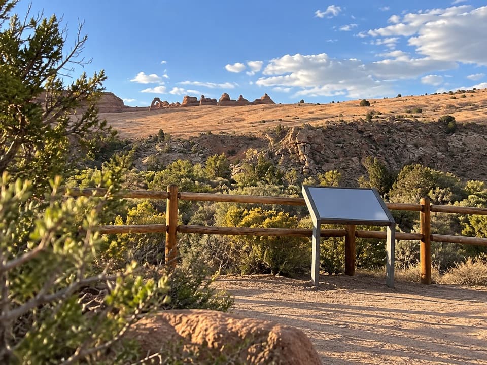 EasyLower Delicate Arch Viewpoint Trail0 mi · 10 min · At the trailheadA level 200-foot walk to Delicate Arch from across the canyon.
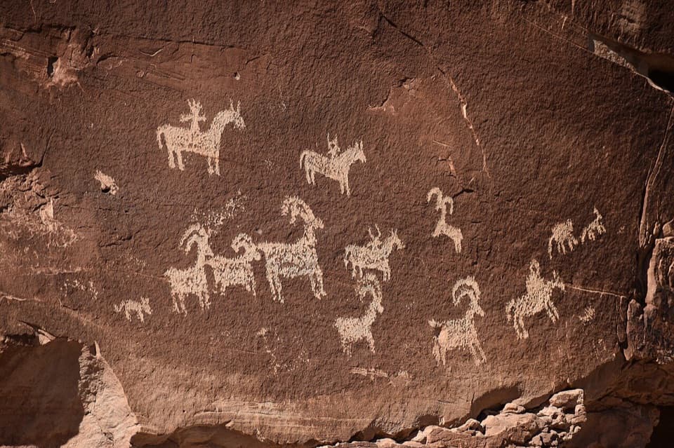 EasyWolfe Ranch Petroglyph Panel Trail0.5 mi · 30 min · 1 mi awayAn easy loop linking Wolfe’s cabin with a striking petroglyph panel.
 ChallengingDelicate Arch Trail3 mi · 2.5 hr · 1.1 mi awayA steep slickrock climb to Arches’ signature arch.
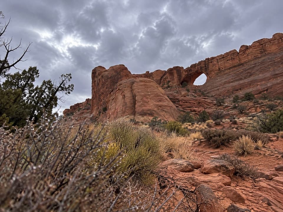 ModerateCovert Arch Viewpoint Route2.2 mi · 3 hr · 2.8 mi awayGet Covert Arch's south-rim view without the scramble.
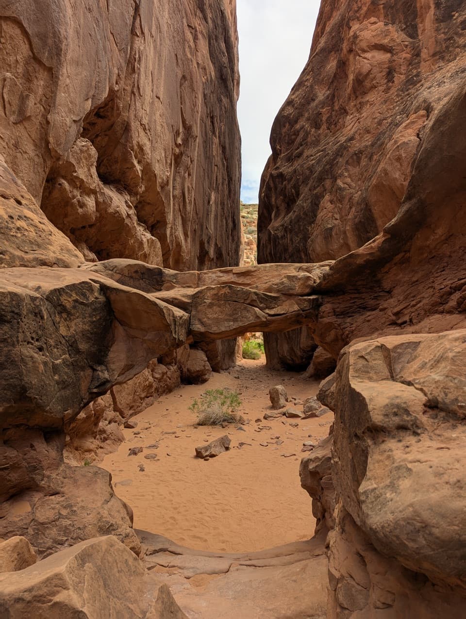 ChallengingFiery Furnace Loop1.2 mi · 3 hr · 3.5 mi awayA desert maze of squeeze-throughs, scrambles, and sandstone arches
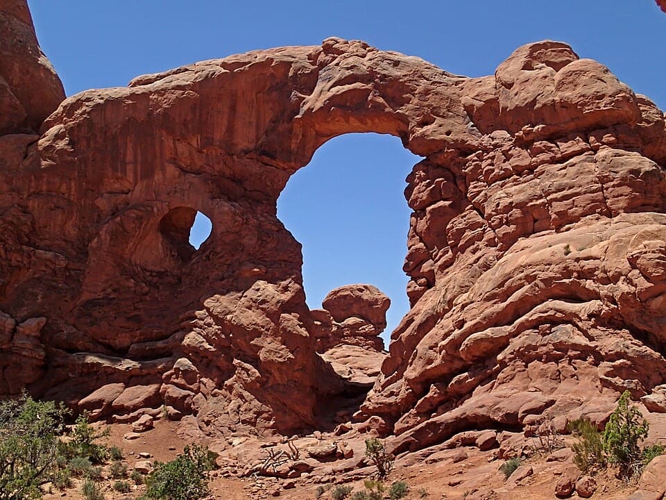 EasyThe Windows Trail1 mi · 1 hr · 3.7 mi awayThree arches, a loop behind the Windows, and a rough stone return.
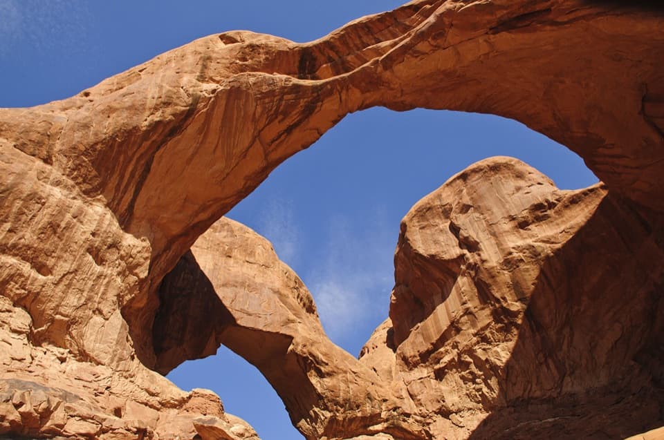 EasyDouble Arch Viewpoint and Trail0.6 mi · 30 min · 3.8 mi awayA short path to two joined spans in one landmark view.
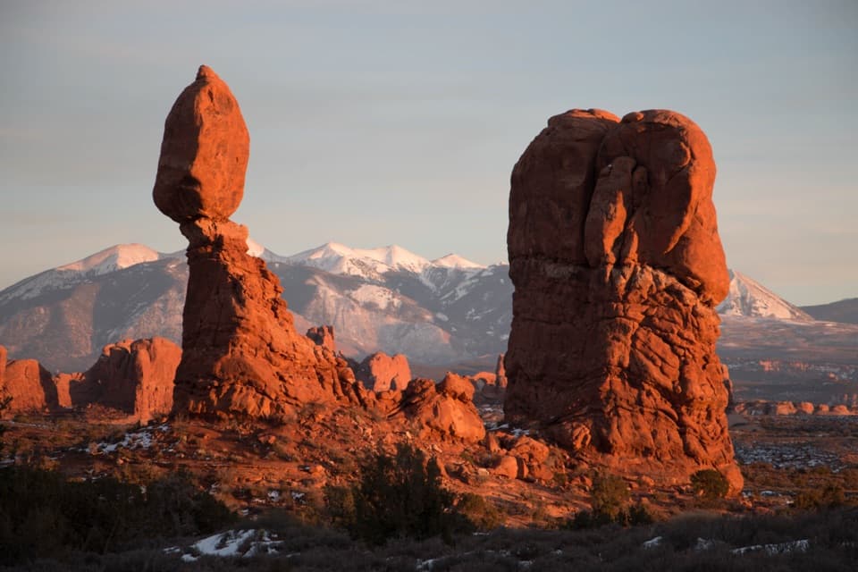 EasyBalanced Rock Trail0.3 mi · 20 min · 4.2 mi awayCircle a 128-foot rock with a 3,600-ton capstone.
 Sight · 0.1 mi awayLower Delicate Arch ViewpointAn accessible 200-foot round trip to view distant Delicate Arch.
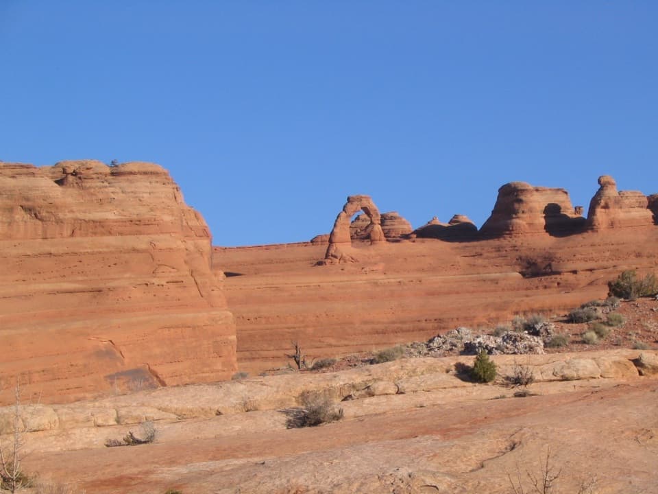 Sight · 0.3 mi awayUpper Delicate Arch ViewpointA steeper climb for a less obstructed Delicate Arch view.
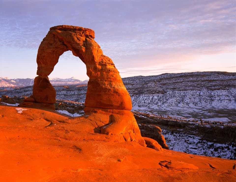 Sight · 0.7 mi awayDelicate ArchA famous arch, reached by a steep, exposed hike.
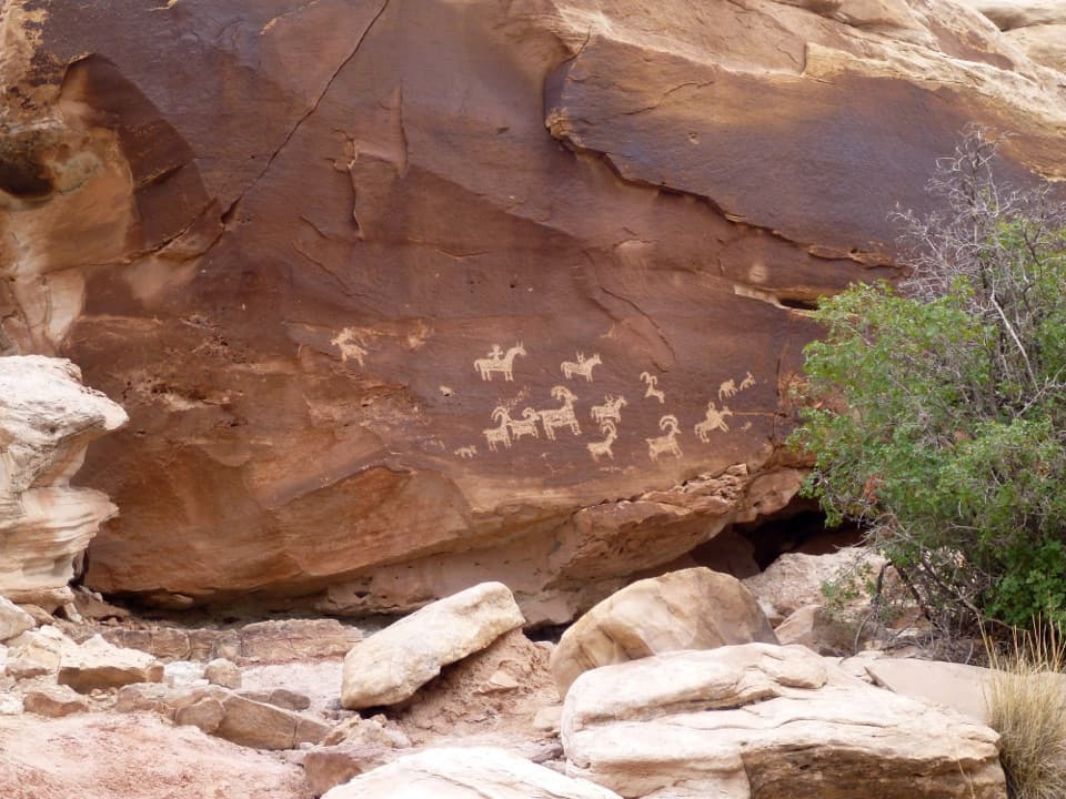 Sight · 1 mi awayWolfe Ranch Petroglyph PanelHorse-and-rider figures make this an easy stop before Delicate Arch.
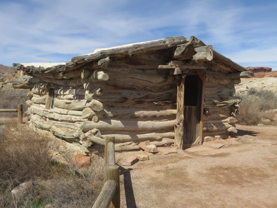 Sight · 1 mi awayWolfe RanchA tiny cabin from a 1,000-head desert cattle ranch.
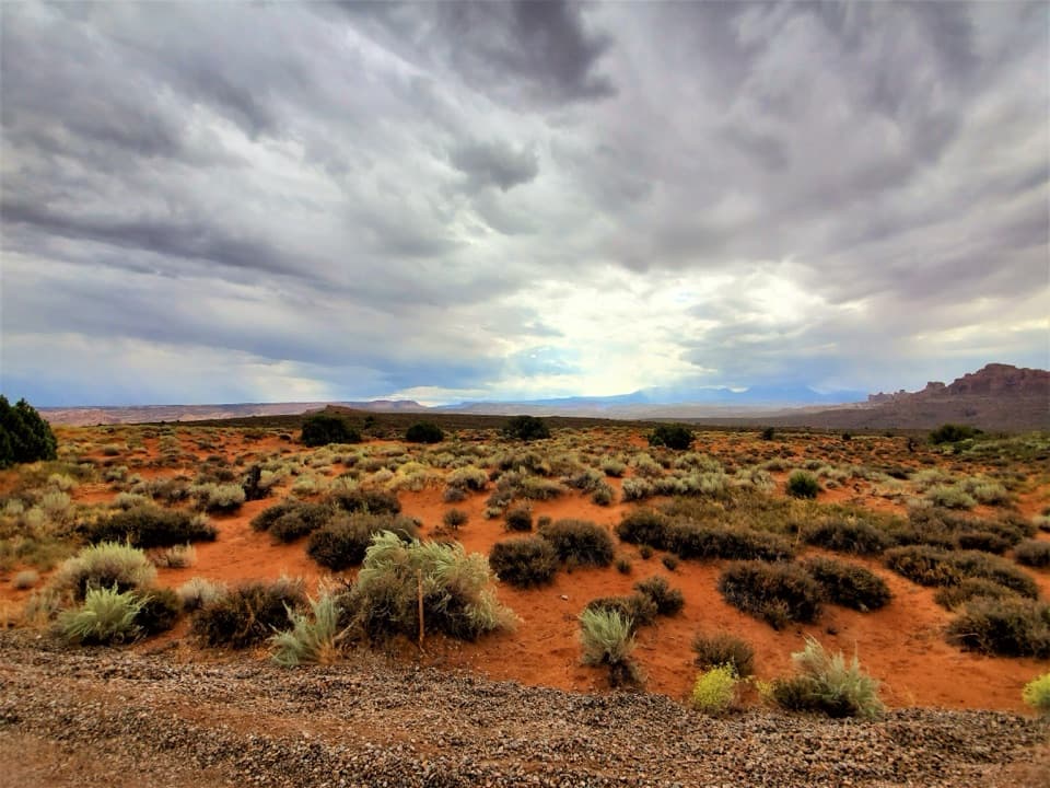 Sight · 3 mi awayPanorama PointBig daytime views and a dedicated place to watch the night sky.
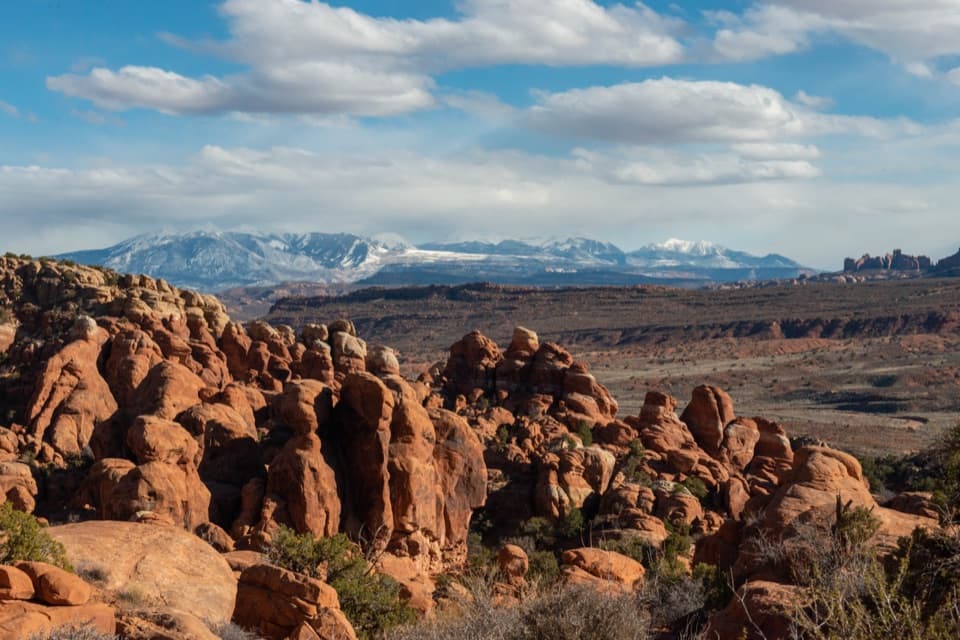 Sight · 3.5 mi awayFiery Furnace ViewpointSunset can set the sandstone fins aglow like a wood-fired furnace.
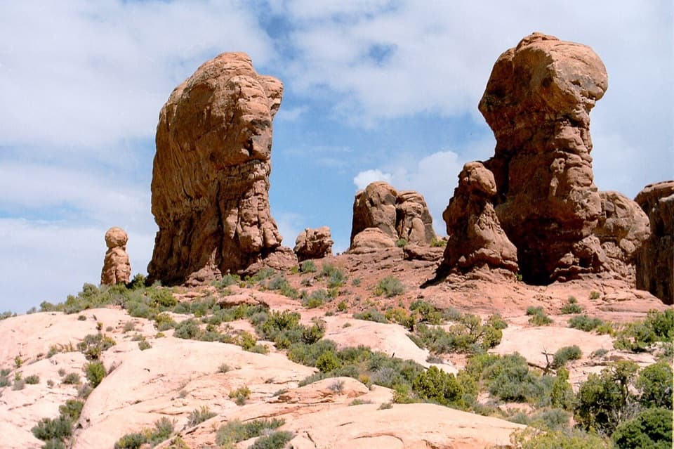 Sight · 3.5 mi awayGarden of EdenA quick stop for sandstone towers and an open-ended wander.
Parkwolf’s Arches ranking

The audio tour guide for the drive, plus offline maps, trails, and wildlife heatmaps for when the signal drops.