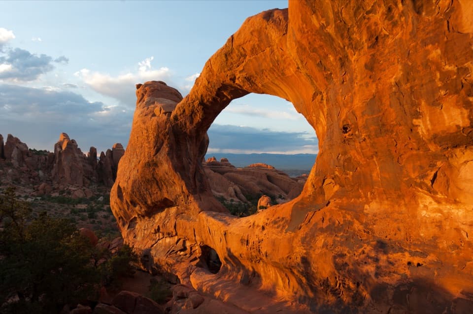
Eye of the Whale Arch Trail in Arches National Park

Arches National Park, UT

Eye of the Whale Arch Trail

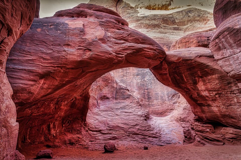
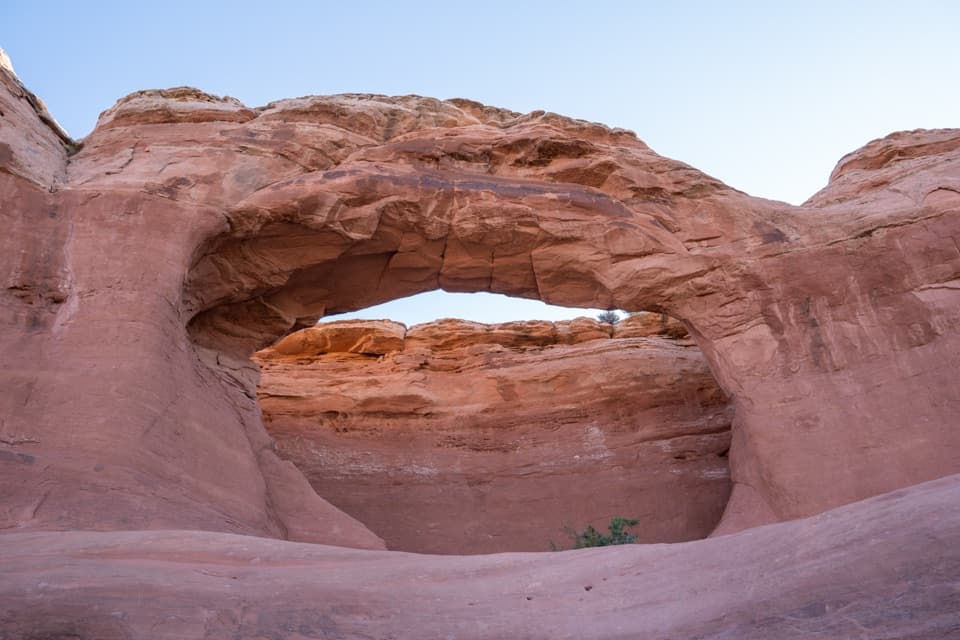
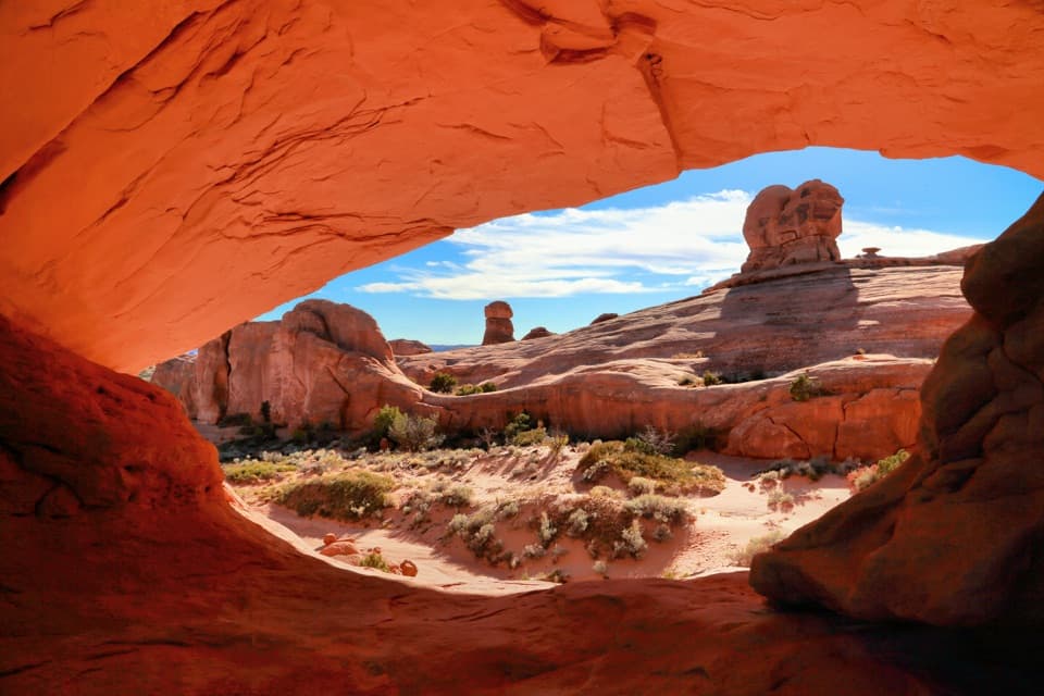
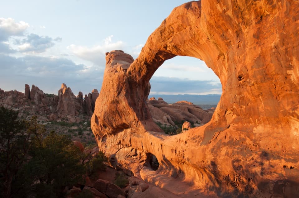
A wash crossing leads to a low sandstone arch.

Photo: National Park Service
Length
0.4mi
Time
30min
Elev. change
52ft
Difficulty
Easy
  • No dogs
  • High point 5,000 ft
Parkwolf audio tour35 stories across Arches’s roads

Overview

About Eye of the Whale Arch Trail

Why go

  • A distinctive sandstone arch reached by a very short walk
  • A quiet corner away from the paved scenic road

Heads up

  • The rough backcountry drive is a bigger commitment than the hike
  • No water or facilities at the trailhead

Map & elevation

The route

Loading the Arches map
Full map
Elevation4,948–5,000 ft
TrailheadEye of the Whale Trailhead Parking38.71524, -109.60172
Keep this map with you offline in the Parkwolf app

Plan your hike

Before you go

Parking

Unpaved Eye of the Whale Trailhead Parking at the end of West Valley Jeep Road from Willow Flats Road. Walking from the Willow Springs Road junction adds about 1.9 miles each way. A longer approach via Salt Valley Road allows a north-to-south drive on the jeep road.

Safety

The unpaved backcountry access requires a true four-wheel-drive SUV or truck with at least eight inches of clearance; AWD does not qualify. The track is unmaintained and conditions can vary, so check current NPS access information. On foot, cross a wash and follow cairns where slickrock obscures the tread. There is no water at the trailhead, and pets are not allowed on park hiking trails.

A park ranger sits on a dash-mounted phone, talking, as Parkwolf’s Tour Guide plays “Army Cutworm Moths: A Grizzly Bear Buffet” on Grand Loop Road below Dunraven Pass in Yellowstone
Parkwolf Tour GuideThe highest, rockiest slopes around here are a summer buffet for grizzly bears.

Arches Tour Guide

Your drive to Eye of the Whale Arch Trail, narrated.

Parkwolf is a GPS audio tour guide for Arches National Park. As you drive, it chimes in with what’s ahead: hidden gems, upcoming stops, history, geology, and wildlife, right through your car’s speakers.

See the Arches audio tour

More stories near here in the app

  • Balanced Rock
  • Water from a Seed
  • Salt Valley Overlook
  • Why the Rocks Are Red
  • 35 audio storiesacross Arches’s roads, triggered by GPS as you drive
  • Wildlife heatmapsfor Bighorn Sheep, Pronghorn, Raven, and 13 more
  • Works offlinemaps, 28 trails, 41 places, and audio download before you lose signal
  • CarPlay readysimple controls built for the drive
★★★★★
“I can’t believe how helpful this app is and how interesting the information is for each highlight along the Arches Scenic Drive! This is the first park I’ve used it in.”
ThisismylifeniloveitApp Store review
Download Parkwolf on the App StoreGet Parkwolf on Google Play

4.7 from 8,600+ ratings

Trail guide

Hiking Eye of the Whale Arch Trail

The short arch walkEye of the Whale Arch Trail is an easy 0.

Eye of the Whale Arch Trail is an easy 0.4-mile out-and-back from the trailhead parking to the arch and back. Set aside about 30 minutes. The arch is visible from the unpaved parking area. The footpath crosses a wash, then climbs onto open slickrock; watch for cairns where the tread fades. Pass beneath the arch and look back from the southwest side of the bowl for its whale-eye profile.

The road is the commitmentThe trailhead is at the end of West Valley Jeep Road, reached from Willow Flats Road.

The trailhead is at the end of West Valley Jeep Road, reached from Willow Flats Road. Arches requires a true four-wheel-drive SUV or truck with at least eight inches of ground clearance on this backcountry road; all-wheel drive does not meet the rule. The narrow, unmaintained track can be rough, and reports of what different vehicles can manage conflict. Check current park access information before driving. Walking from the road junction adds roughly two miles each way before the short trail, turning this into a several-mile outing. There is no water or other facility at the trailhead. Pets are not allowed on park hiking trails.

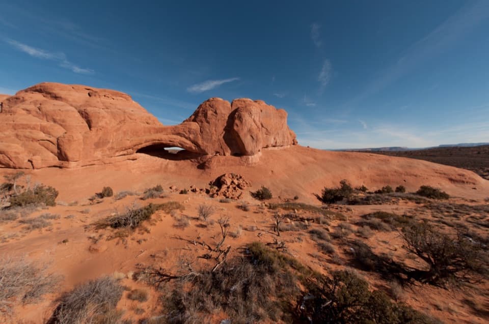
A passage through sandstoneThe arch sits at the southeast end of a reef-like sandstone fin.

The arch sits at the southeast end of a reef-like sandstone fin. Walk through its low opening and the view opens onto a bowl of slickrock and the less-developed Herdina Park landscape beyond. A longer, off-trail route into Whale Canyon starts here, but it involves scrambling and is a separate outing; this mapped hike turns back at the arch. Willow Flats Road served as Arches' official entrance from the 1930s until 1958.

Wildlife

Wildlife in Arches

All Arches wildlife maps

Sighting maps show where each species has been reported across Arches. Wildlife moves, so no sighting is guaranteed.

Keep exploring

Near Eye of the Whale Arch Trail

See it all on the map

Trails that start nearby

Places near the trailhead

Parkwolf’s Arches ranking

Top-rated trails in Arches

All 28 trails
  1. 1Delicate Arch TrailChallenging · 3 mi
  2. 2Devils Garden TrailChallenging · 7.9 mi
  3. 3Landscape Arch TrailEasy · 1.9 mi
  4. 4Fiery Furnace LoopChallenging · 1.2 mi
  5. 5Double O Arch TrailChallenging · 4.1 mi
  6. 6The Windows TrailEasy · 1 mi

Take Parkwolf to Arches.

The audio tour guide for the drive, plus offline maps, trails, and wildlife heatmaps for when the signal drops.

4.7 from 8,600+ ratings

Download Parkwolf on the App StoreGet Parkwolf on Google Play