Parking
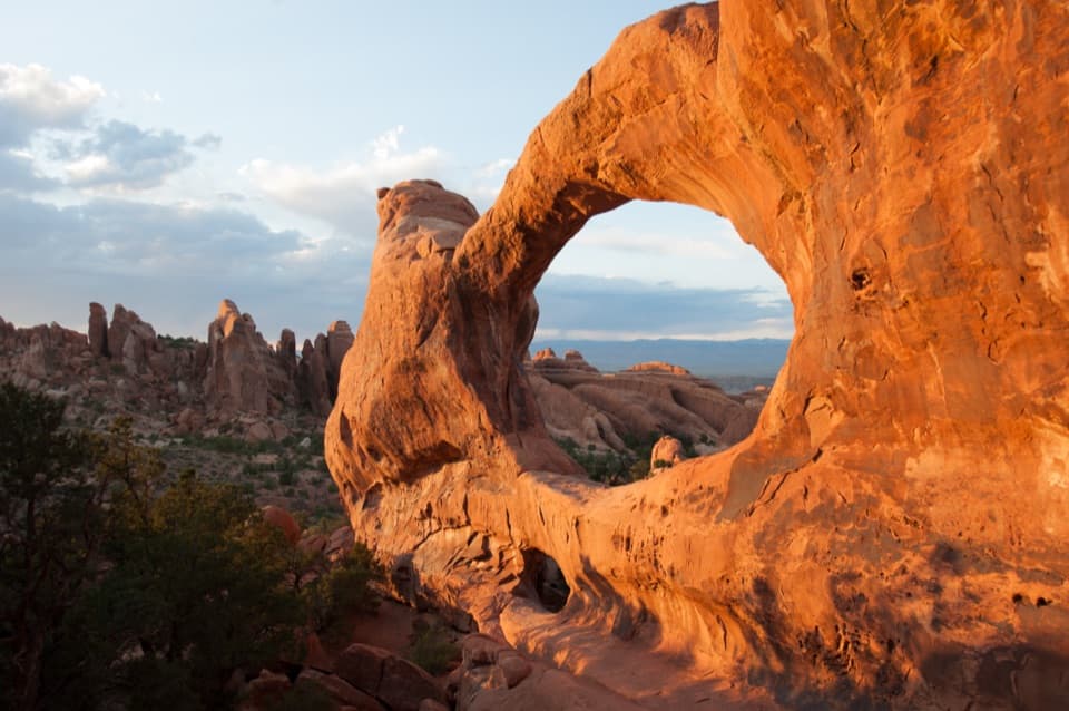
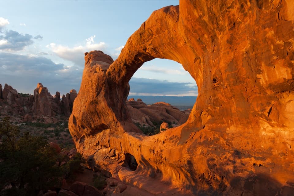
Use The Windows Section upper parking area, about 12 miles from the park entrance. The separate lower Double Arch lot connects by footpath but adds walking. Toilets are by the upper lot; no drinking water is available.
#6 of 28 trails in Arches
Arches National Park, UT
Three arches, a loop behind the Windows, and a rough stone return.
Overview
Map & elevation
Plan your hike

The highest, rockiest slopes around here are a summer buffet for grizzly bears.
Arches Tour Guide
Parkwolf is a GPS audio tour guide for Arches National Park. As you drive, it chimes in with what’s ahead: hidden gems, upcoming stops, history, geology, and wildlife, right through your car’s speakers.
See the Arches audio tourRecorded for this trailhead
The Windows and Double Arch“You're coming up on the Windows Section, where several huge arches sit close together.”
Plays as you drive up to this trailhead in the Parkwolf Arches Tour Guide.
More stories near here in the app
“I can’t believe how helpful this app is and how interesting the information is for each highlight along the Arches Scenic Drive! This is the first park I’ve used it in.”


Trail guide
The Windows Trail is a one-mile loop from the upper Windows Section lot, visiting North Window, South Window and Turret Arch before returning behind the Windows on the primitive trail. Allow about an hour for the walk, and longer if you stop at each opening. The complete circuit is the best way to see the three named arches and get a different angle on the Windows on your way back. If the rough return is not for you, retrace the main route instead; that out-and-back skips the primitive section, and its distance depends on where you turn.
North Window is visible from the parking area, but the trail gets more involved after the easy start. The first 300 feet are flat and hard-packed, with firm bedrock; after that, the path climbs toward the arches over sloping ground and rock steps. The park describes the walk as easy, which fits its short distance, but the steps make the full route a poor choice for anyone who needs a smooth, barrier-free surface. The first short section may be accessible; do not assume the rest of the loop is.
The openings are close together, but the route is not just a quick look from the lot. Walk up to the bases of North and South Windows, then continue to Turret Arch before taking the primitive return. The arches sit high in broad sandstone walls and fins, with views out across the surrounding rock country. The complete loop gives a fresh perspective after the main arch stops; the same-way return is simpler, but retraces the approach.
The back side is the roughest part of the circuit: uneven stone, steps both up and down, and ledges, with fewer trail markers than the main path. Watch for the marked route at junctions, especially if you are used to following a clear gravel track. This section is short, but it is the part that makes the walk a loop rather than a straightforward arch visit. There is no drinking water along the route.
“Windows” is a visual name for especially large openings high in a sandstone wall or fin, often framing a view; it is not a separate technical type of arch. The surrounding Entrada sandstone breaks along cracks, and water and freeze-thaw weathering gradually widen those openings. Look at the rock between North and South Windows as well as through them: the arch and the remaining fin are part of the same changing landform.
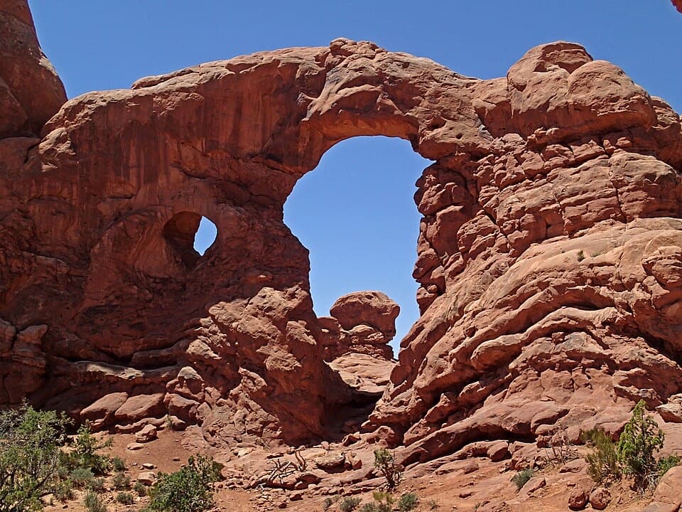
Turret Arch is the photo stop worth taking a moment over. From there, frame the North and South Windows with Elephant Butte and the La Sal Mountains beyond. The route also gives you a view back toward the Windows from the primitive side, so the formations do not look the same on the return as they did on the way in.
The Windows Section is about 12 miles from the park entrance. Use its upper parking area for the one-mile loop; a separate connector across from the trailhead descends to the lower Double Arch lot and adds walking. Toilets are available near the upper trailhead year-round, but there is no drinking water at the lot or on the trail. Pets are not allowed; service animals are permitted.
Wildlife
 14 sightingsBighorn SheepMost seen around 7 AMSighting map
 10 sightingsPronghornMost seen around 7 AMSighting map
 608 sightingsRavenMost seen around 9 AMSighting map
 187 sightingsMule DeerMost seen around 7 PMSighting map
 51 sightingsPrairie DogMost seen around 8 AMSighting map
 15 sightingsCoyoteMost seen around 6 AMSighting map
Sighting maps show where each species has been reported across Arches. Wildlife moves, so no sighting is guaranteed.
Keep exploring
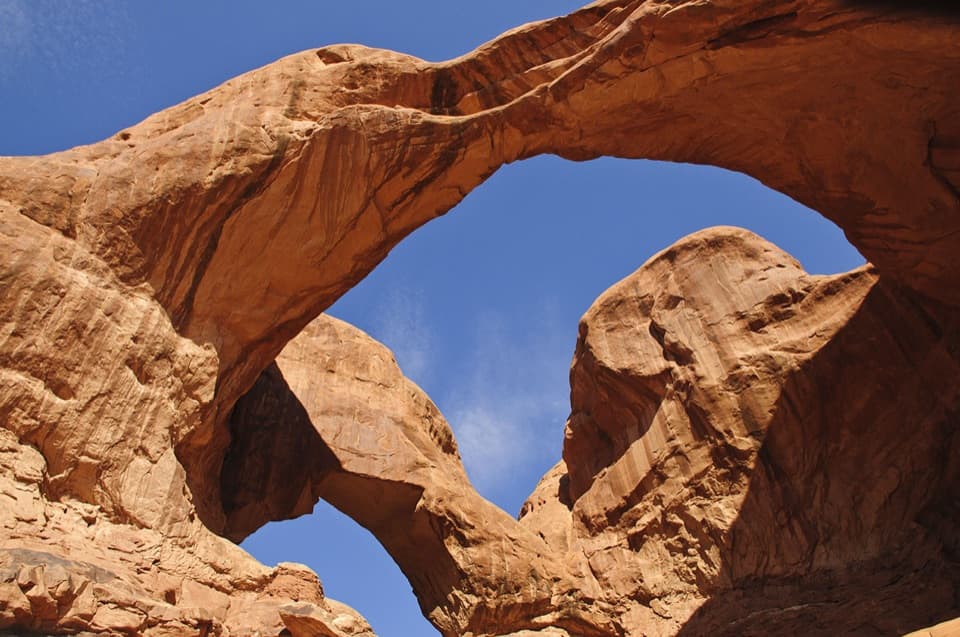 EasyDouble Arch Viewpoint and Trail0.6 mi · 30 min · 0.1 mi awayA short path to two joined spans in one landmark view.
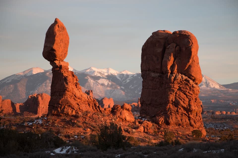 EasyBalanced Rock Trail0.3 mi · 20 min · 1.9 mi awayCircle a 128-foot rock with a 3,600-ton capstone.
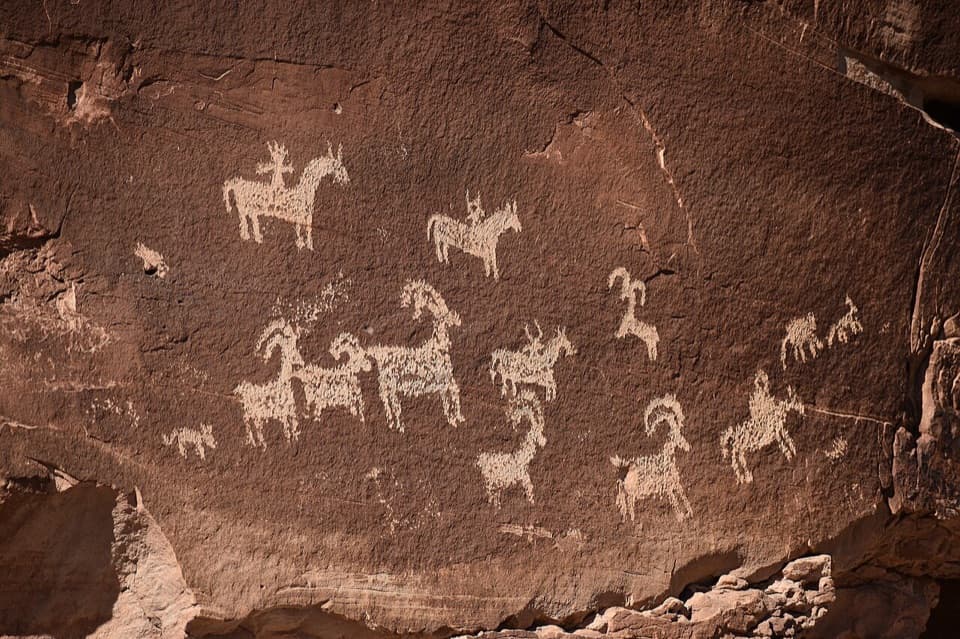 EasyWolfe Ranch Petroglyph Panel Trail0.5 mi · 30 min · 3.4 mi awayAn easy loop linking Wolfe’s cabin with a striking petroglyph panel.
 ChallengingDelicate Arch Trail3 mi · 2.5 hr · 3.4 mi awayA steep slickrock climb to Arches’ signature arch.
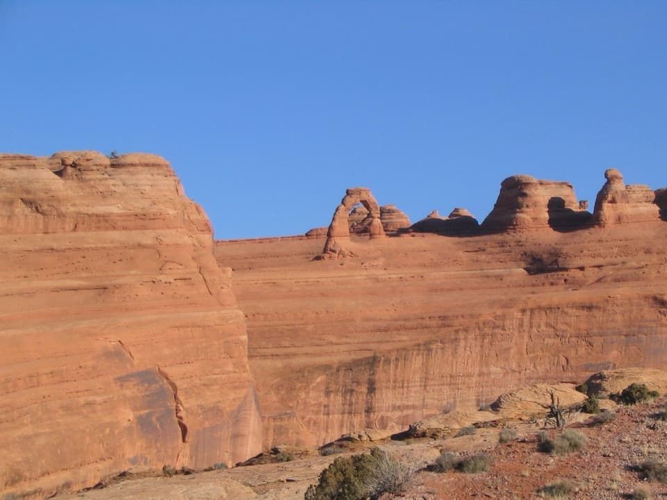 ModerateUpper Delicate Arch Viewpoint Trail0.7 mi · 45 min · 3.7 mi awayA short, steep climb to see Delicate Arch across the canyon.
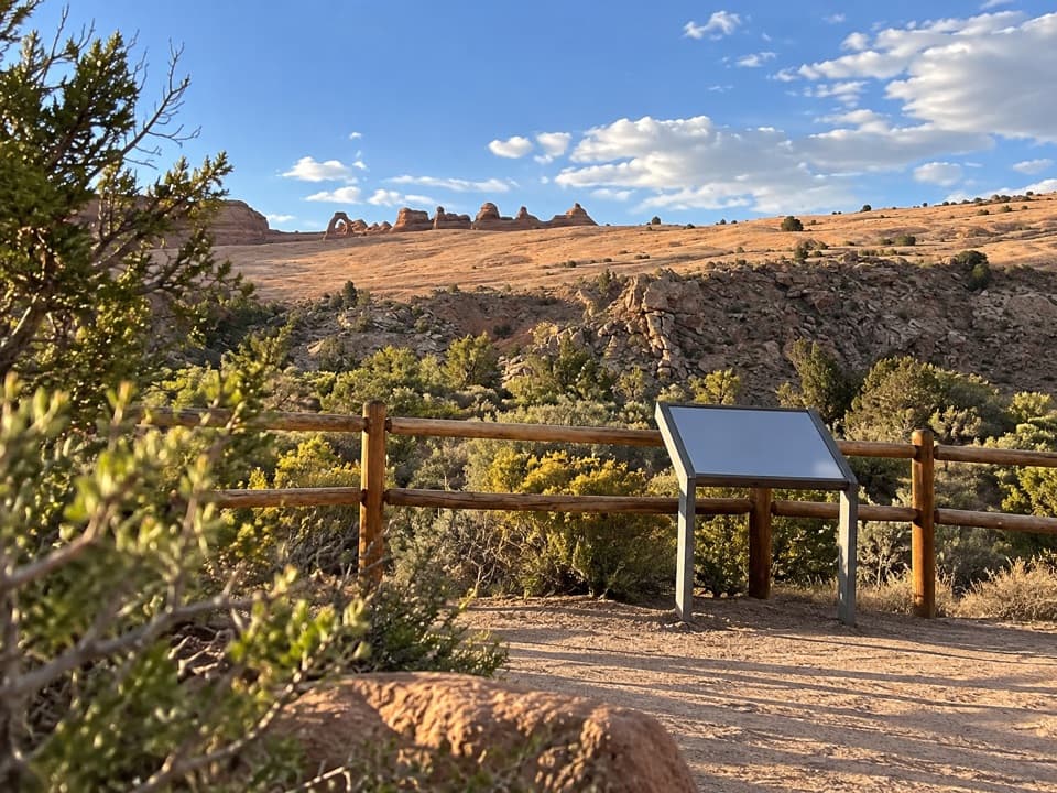 EasyLower Delicate Arch Viewpoint Trail0 mi · 10 min · 3.8 mi awayA level 200-foot walk to Delicate Arch from across the canyon.
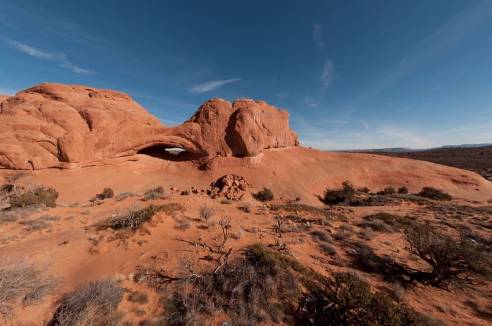 EasyEye of the Whale Arch Trail0.4 mi · 30 min · 4 mi awayA wash crossing leads to a low sandstone arch.
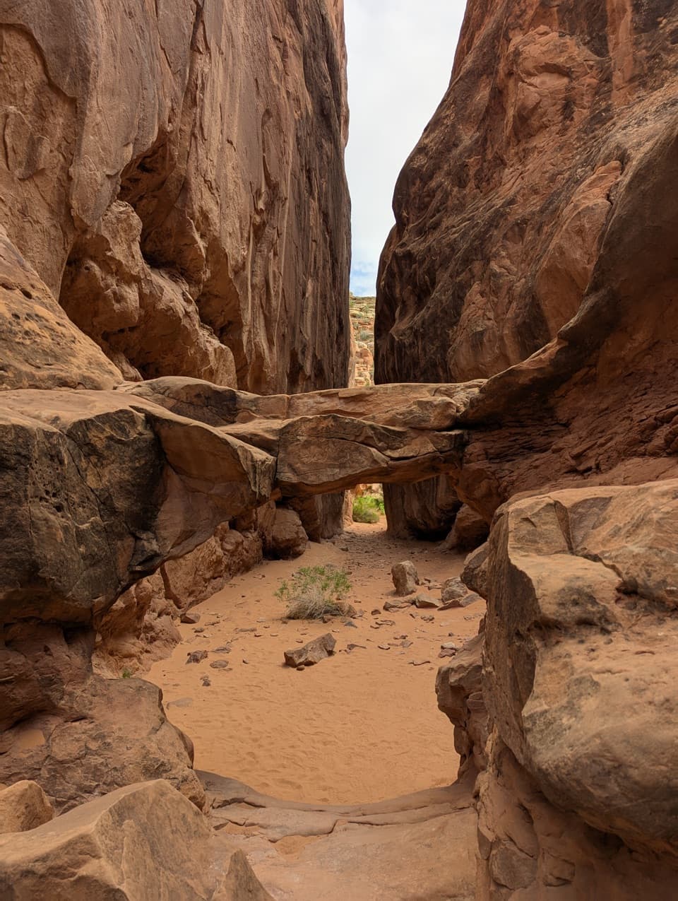 ChallengingFiery Furnace Loop1.2 mi · 3 hr · 4.2 mi awayA desert maze of squeeze-throughs, scrambles, and sandstone arches
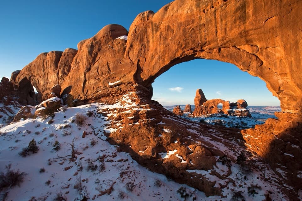 Sight · 0.2 mi awayNorth WindowA huge arch with Turret Arch lined up through its opening.
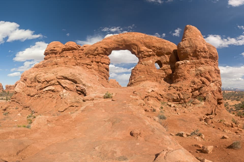 Sight · 0.2 mi awayTurret ArchA turreted arch and a classic view through North Window.
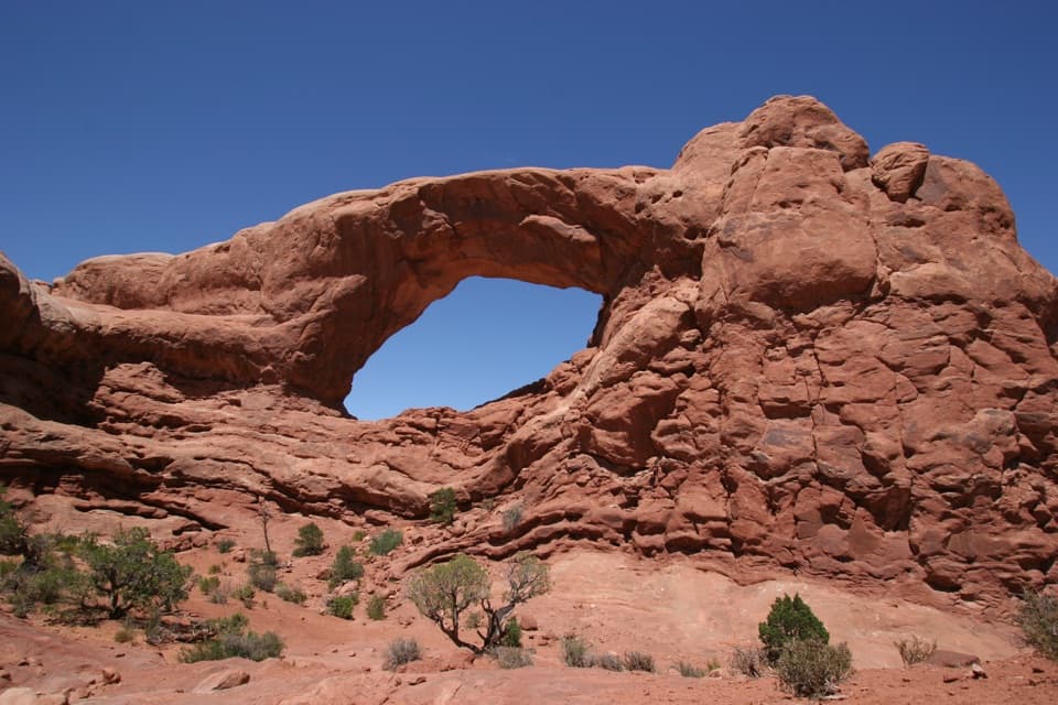 Sight · 0.3 mi awaySouth WindowTwo giant windows cut one sandstone fin, with Turret Arch nearby.
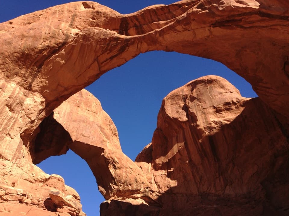 Sight · 0.4 mi awayDouble ArchTwo towering sandstone spans meet above a short, easy walk.
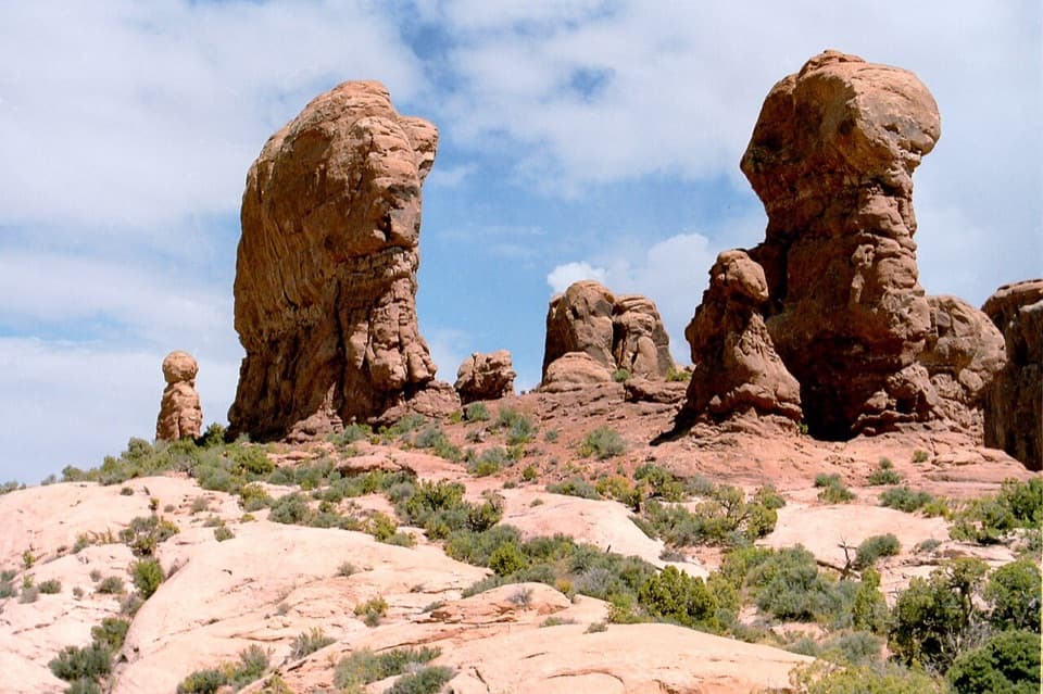 Sight · 1 mi awayGarden of EdenA quick stop for sandstone towers and an open-ended wander.
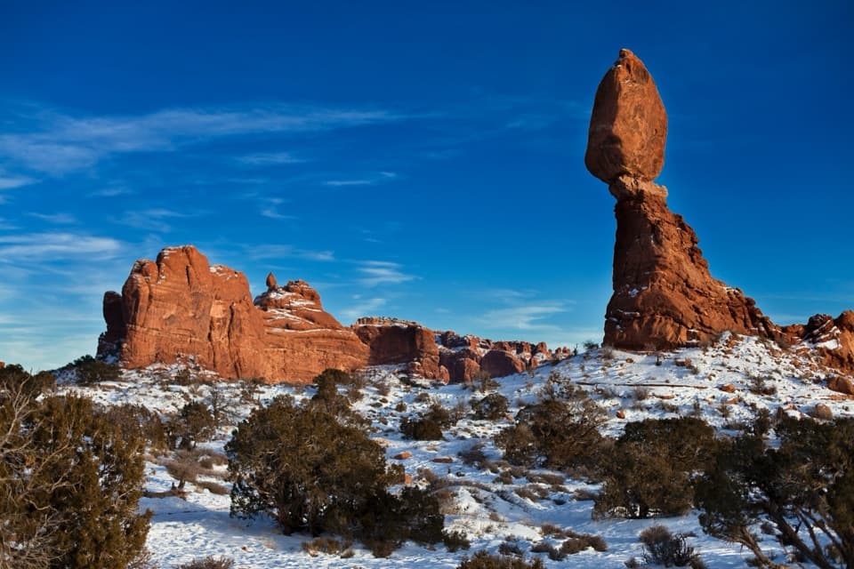 Sight · 1.8 mi awayBalanced RockA 128-foot sandstone formation you can see from the road.
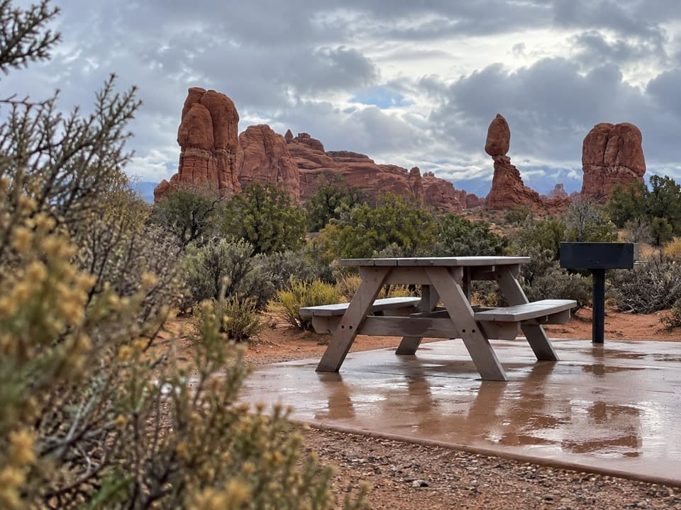 Picnic area · 2.1 mi awayBalanced Rock Picnic AreaA shaded meal break with Salt Valley and Balanced Rock in view.
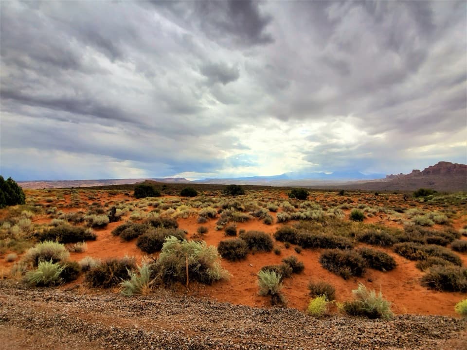 Sight · 2.4 mi awayPanorama PointBig daytime views and a dedicated place to watch the night sky.
Parkwolf’s Arches ranking

The audio tour guide for the drive, plus offline maps, trails, and wildlife heatmaps for when the signal drops.