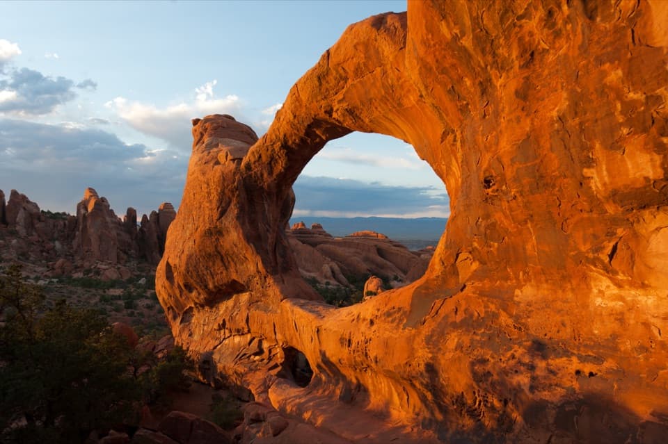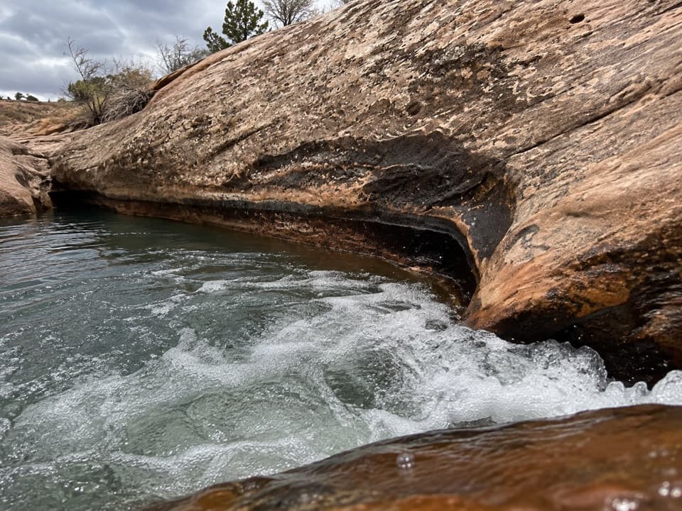
Upper Courthouse Wash Route in Arches National Park

Arches National Park, UT

Upper Courthouse Wash Route

Six miles of sandstone wash, wet crossings, and no marked tread.

Length
6mi
Time
4.5hr
Elev. change
200ft
Difficulty
Challenging
  • No dogs
  • High point 4,314 ft
Parkwolf audio tour35 stories across Arches’s roads

Overview

About Upper Courthouse Wash Route

Why go

  • Distinctive wash-bottom walking through sandstone with riparian pockets.

Heads up

  • No marked route; brush, deep sand, wet crossings and shuttle logistics slow the outing.

Map & elevation

The route

Loading the Arches map
Full map
Elevation4,114–4,314 ft
TrailheadSevenmile Wash upper access38.68686, -109.65306
Keep this map with you offline in the Parkwolf app

Plan your hike

Before you go

Parking

The listed upper access is on Sevenmile Wash just below the US 191/UT 313 junction, outside Arches. No public parking at that point was verified; confirm legal access and a vehicle plan. The customary finish is the Main Park Road bridge, where pickup and parking arrangements should also be confirmed.


Safety

Navigation skills are required. Dense brush and water crossings complicate the wash bottom. Courthouse Wash is an active drainage with unpredictable flow and flash-flood danger; stay out during flood conditions. Carry drinking water because no potable-water stop was verified. Pets are prohibited on Arches trails and off-trail.

A park ranger sits on a dash-mounted phone, talking, as Parkwolf’s Tour Guide plays “Army Cutworm Moths: A Grizzly Bear Buffet” on Grand Loop Road below Dunraven Pass in Yellowstone
Parkwolf Tour GuideThe highest, rockiest slopes around here are a summer buffet for grizzly bears.

Arches Tour Guide

Your drive to Upper Courthouse Wash Route, narrated.

Parkwolf is a GPS audio tour guide for Arches National Park. As you drive, it chimes in with what’s ahead: hidden gems, upcoming stops, history, geology, and wildlife, right through your car’s speakers.

See the Arches audio tour

More stories near here in the app

  • Petrified Dunes Viewpoint
  • Water from a Seed
  • Courthouse Wash Trailheads
  • Courthouse Towers Viewpoint
  • 35 audio storiesacross Arches’s roads, triggered by GPS as you drive
  • Wildlife heatmapsfor Bighorn Sheep, Pronghorn, Raven, and 13 more
  • Works offlinemaps, 28 trails, 41 places, and audio download before you lose signal
  • CarPlay readysimple controls built for the drive
★★★★★
“I can’t believe how helpful this app is and how interesting the information is for each highlight along the Arches Scenic Drive! This is the first park I’ve used it in.”
ThisismylifeniloveitApp Store review
Download Parkwolf on the App StoreGet Parkwolf on Google Play

4.7 from 8,600+ ratings

Trail guide

Hiking Upper Courthouse Wash Route

What it isUpper Courthouse Wash is a roughly 6-mile, one-way walk from the Sevenmile Wash access below…

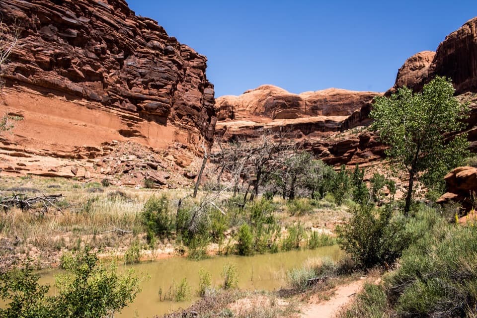
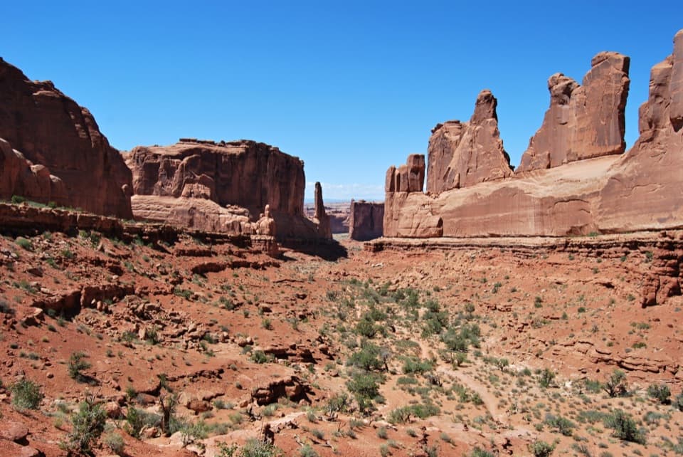
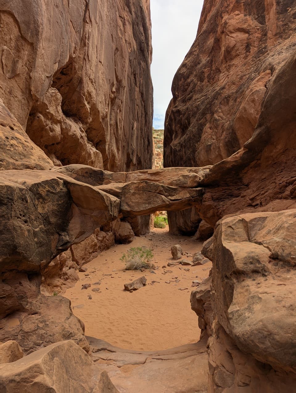
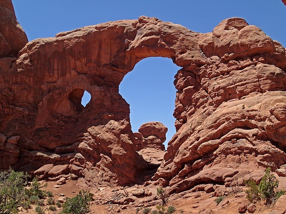
Upper Courthouse Wash is a roughly 6-mile, one-way walk from the Sevenmile Wash access below the US 191 and UT 313 junction to the Main Park Road bridge. It follows a winding, active wash through sandstone canyon country; there is no built or marked trail to follow. Allow about 4 to 5 hours one way. This suits hikers who can navigate on their own and are comfortable with brush, loose sand and water crossings.

Follow the wash bottomTravel shifts between the channel and its banks.

Travel shifts between the channel and its banks. The dry sand can be deep, while wet sand in the channel may be firmer; staying dry along the full route is unlikely. Dense brush and crossings make progress slower than the mileage suggests. The line here shows the approximate wash corridor, not a continuous tread, and the easiest way through can change.

Ring Arch is a separate scrambleAbout 1.

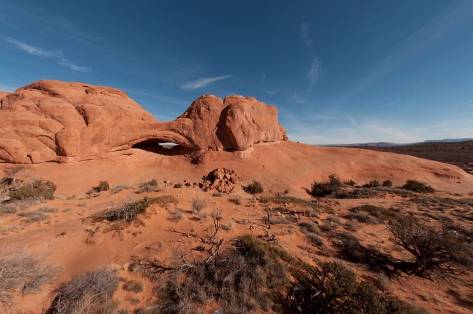
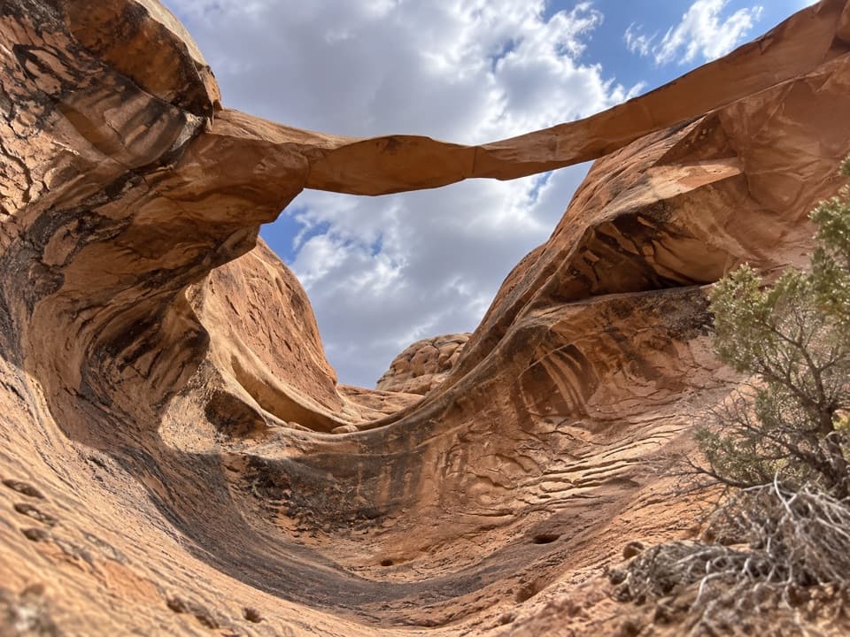
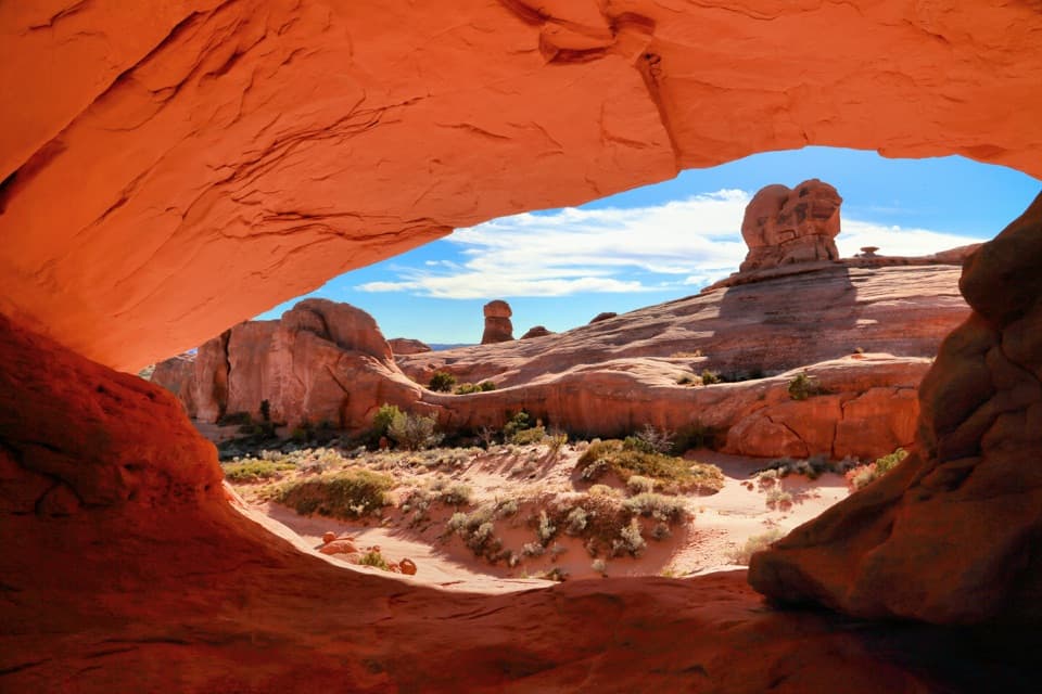
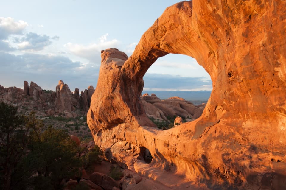
About 1.5 miles up-canyon from the bridge, a side canyon leads to Ring Arch, a standout photo stop. Getting there involves scrambling and route-finding. It is an optional detour and is not included in the 6-mile route line.

Plan the finish before you startThis is a point-to-point outing: arrange a shuttle, or expect to walk back for about 12 miles…

This is a point-to-point outing: arrange a shuttle, or expect to walk back for about 12 miles total. The upper access is outside the park, and public parking at the listed start has not been confirmed, so verify a legal drop-off and parking plan before setting out. Carry all drinking water; no potable-water source or food stop was identified along the route.

Water and access rulesCourthouse Wash is an active drainage with unpredictable flow.

Courthouse Wash is an active drainage with unpredictable flow. Do not enter during flood conditions or when storms threaten the drainage. Arches prohibits pets on hiking trails and off-trail. Upper Courthouse Wash also has two designated backcountry campsites; overnight camping there requires a permit.

Wildlife

Wildlife in Arches

All Arches wildlife maps

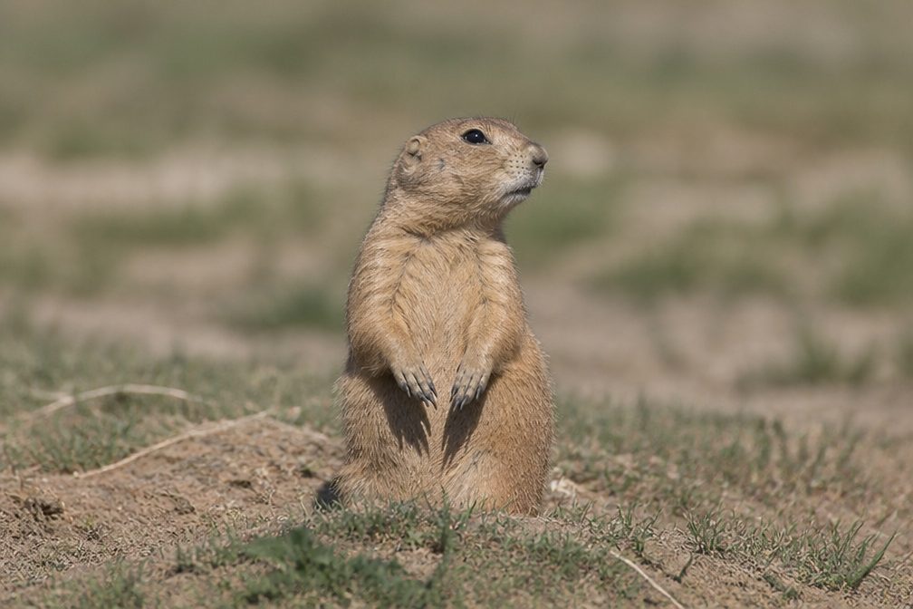
Sighting maps show where each species has been reported across Arches. Wildlife moves, so no sighting is guaranteed.

Keep exploring

Near Upper Courthouse Wash Route

See it all on the map

Trails that start nearby

Places near the trailhead

Parkwolf’s Arches ranking

Top-rated trails in Arches

All 28 trails
  1. 1Delicate Arch TrailChallenging · 3 mi
  2. 2Devils Garden TrailChallenging · 7.9 mi
  3. 3Landscape Arch TrailEasy · 1.9 mi
  4. 4Fiery Furnace LoopChallenging · 1.2 mi
  5. 5Double O Arch TrailChallenging · 4.1 mi
  6. 6The Windows TrailEasy · 1 mi

Take Parkwolf to Arches.

The audio tour guide for the drive, plus offline maps, trails, and wildlife heatmaps for when the signal drops.

4.7 from 8,600+ ratings

Download Parkwolf on the App StoreGet Parkwolf on Google Play