Covert Arch Viewpoint Route in Arches National Park

Arches National Park, UT

Covert Arch Viewpoint Route

Get Covert Arch's south-rim view without the scramble.

Length
2.2mi
Time
3hr
Elev. change
259ft
Difficulty
Moderate
  • No dogs
  • High point 4,990 ft
Parkwolf audio tour35 stories across Arches’s roads

Overview

About Covert Arch Viewpoint Route

Why go

  • A view of Covert Arch without scrambling to it.

Heads up

  • Unmarked cross-country navigation with little shade.
  • Remote dirt-road access with current conditions unverified.

Map & elevation

The route

Loading the Arches map
Full map
Elevation4,731–4,990 ft
TrailheadCovert Arch roadside pull-off38.77389, -109.48778
Keep this map with you offline in the Parkwolf app

Plan your hike

Before you go

Parking

There is no signed lot; the route begins at an informal roadside pull-off. Reaching Lost Spring Canyon uses remote, sandy dirt roads. Vehicle advice varies: some hiking directions recommend 4WD, while older park guidance says high-clearance 2WD may pass when roads are dry and warns that wet roads can require 4WD or become impassable. Confirm current access and keep vehicles on designated roads.


Safety

This is an unsigned, unmaintained cross-country route with little shade and no drinking water in the canyon. Navigation is difficult after the wash. Pets are prohibited on trails and off-trail in Arches.

A park ranger sits on a dash-mounted phone, talking, as Parkwolf’s Tour Guide plays “Army Cutworm Moths: A Grizzly Bear Buffet” on Grand Loop Road below Dunraven Pass in Yellowstone
Parkwolf Tour GuideThe highest, rockiest slopes around here are a summer buffet for grizzly bears.

Arches Tour Guide

Your drive to Covert Arch Viewpoint Route, narrated.

Parkwolf is a GPS audio tour guide for Arches National Park. As you drive, it chimes in with what’s ahead: hidden gems, upcoming stops, history, geology, and wildlife, right through your car’s speakers.

See the Arches audio tour

More stories near here in the app

  • Delicate Arch Viewpoints
  • Delicate Arch and Wolfe Ranch
  • The Dark Streaks on Sandstone
  • The Desert's Living Skin
  • 35 audio storiesacross Arches’s roads, triggered by GPS as you drive
  • Wildlife heatmapsfor Bighorn Sheep, Pronghorn, Raven, and 13 more
  • Works offlinemaps, 28 trails, 41 places, and audio download before you lose signal
  • CarPlay readysimple controls built for the drive
★★★★★
“I can’t believe how helpful this app is and how interesting the information is for each highlight along the Arches Scenic Drive! This is the first park I’ve used it in.”
ThisismylifeniloveitApp Store review
Download Parkwolf on the App StoreGet Parkwolf on Google Play

4.7 from 8,600+ ratings

Trail guide

Hiking Covert Arch Viewpoint Route

The viewpoint routeCovert Arch Viewpoint Route is an unmarked, roughly 2.

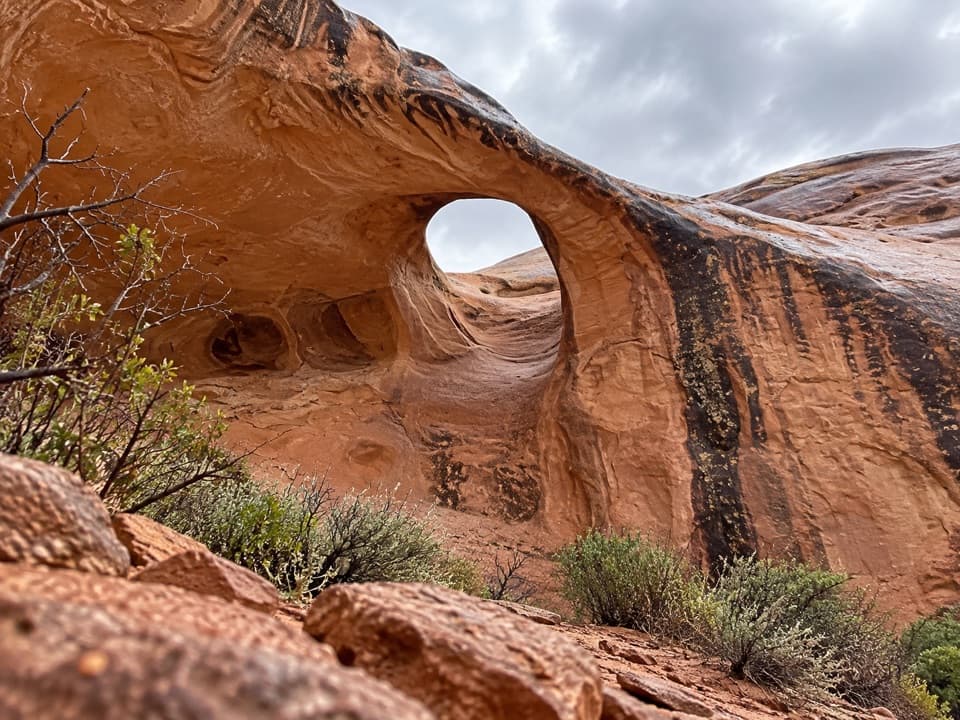
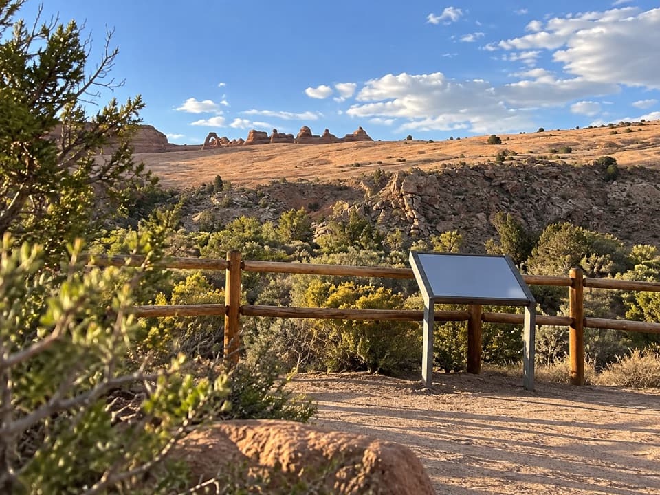
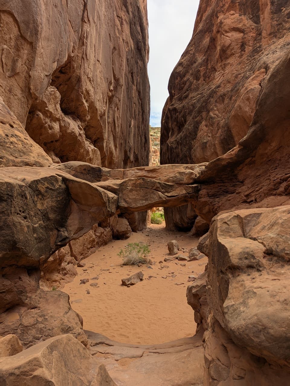
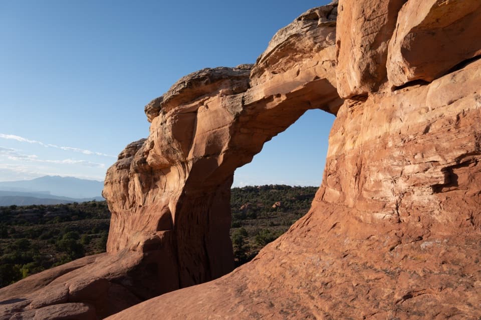
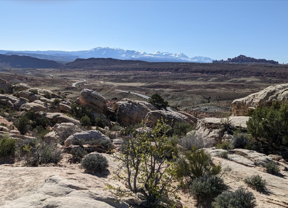
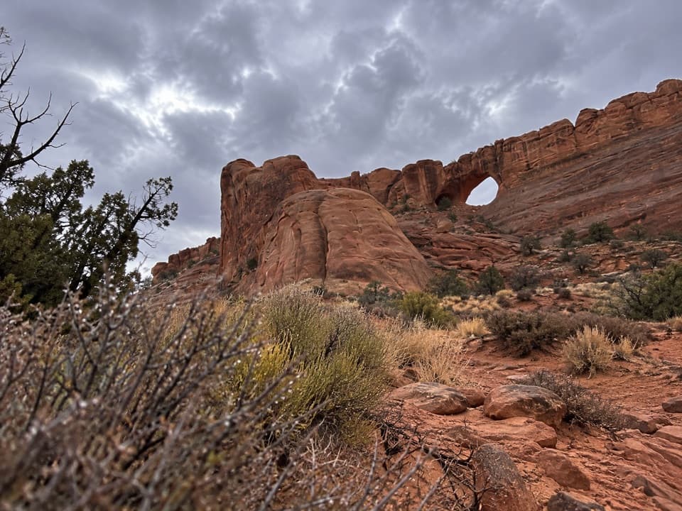
Covert Arch Viewpoint Route is an unmarked, roughly 2.2-mile out-and-back to a view of Covert Arch beneath the south rim of Lost Spring Canyon. From an informal roadside pull-off, the route heads northwest, crosses a wash and follows faint cross-country ground for about a mile to the canyon head. A roughly 200-yard walk around the south side reaches the no-scramble viewpoint. Allow about three hours for careful route-finding and time at the view. This route stops at the viewpoint; reaching or scrambling through the arch is a different hike.

Finding the wayThere are no signs or maintained tread, and the faint path is easy to lose after the wash.

There are no signs or maintained tread, and the faint path is easy to lose after the wash. The route-finding is the hard part: use a map or GPS and be ready to turn back if your line leads toward a scramble. The arch is visible under the rim from the canyon head; continue around the south side for the viewpoint described here.

The canyon and its limitsThe arch sits in Navajo Sandstone and is described as a shelter arch about 60 feet high with a…

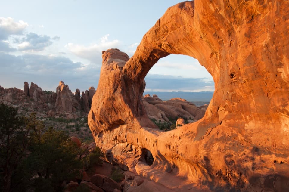
The arch sits in Navajo Sandstone and is described as a shelter arch about 60 feet high with a 32-foot span. The route is exposed with little shade, so cooler weather is more comfortable than hot summer conditions. There is no drinking water or toilet in Lost Spring Canyon; bring what you need for a remote cross-country outing. Pets are not allowed on trails or off-trail in Arches.

Wildlife

Wildlife in Arches

All Arches wildlife maps

Sighting maps show where each species has been reported across Arches. Wildlife moves, so no sighting is guaranteed.

Keep exploring

Near Covert Arch Viewpoint Route

See it all on the map

Trails that start nearby

Places near the trailhead

Parkwolf’s Arches ranking

Top-rated trails in Arches

All 28 trails
  1. 1Delicate Arch TrailChallenging · 3 mi
  2. 2Devils Garden TrailChallenging · 7.9 mi
  3. 3Landscape Arch TrailEasy · 1.9 mi
  4. 4Fiery Furnace LoopChallenging · 1.2 mi
  5. 5Double O Arch TrailChallenging · 4.1 mi
  6. 6The Windows TrailEasy · 1 mi

Take Parkwolf to Arches.

The audio tour guide for the drive, plus offline maps, trails, and wildlife heatmaps for when the signal drops.

4.7 from 8,600+ ratings

Download Parkwolf on the App StoreGet Parkwolf on Google Play