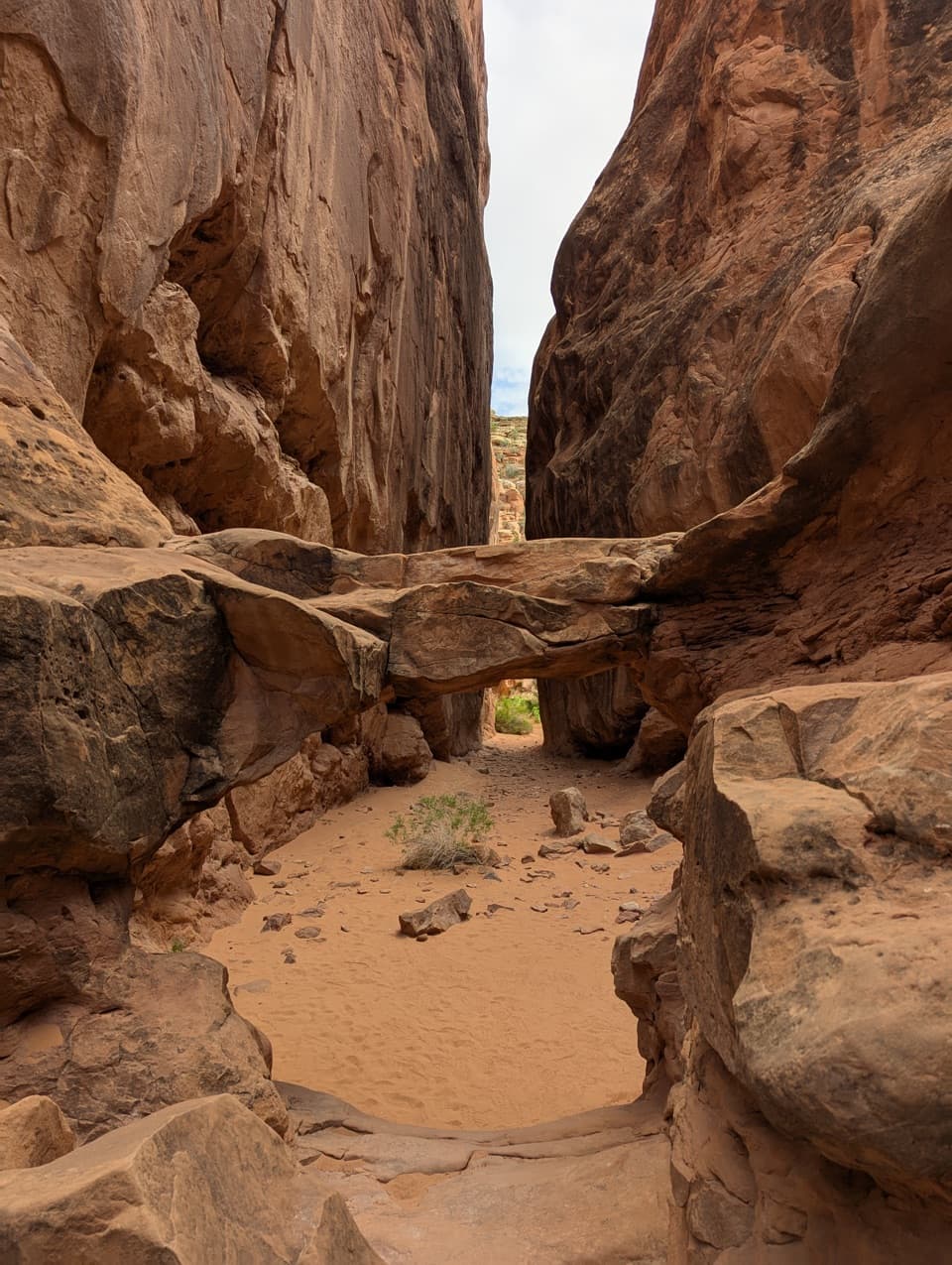
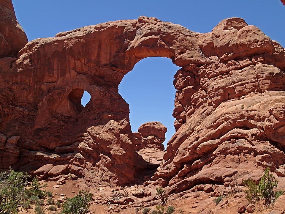
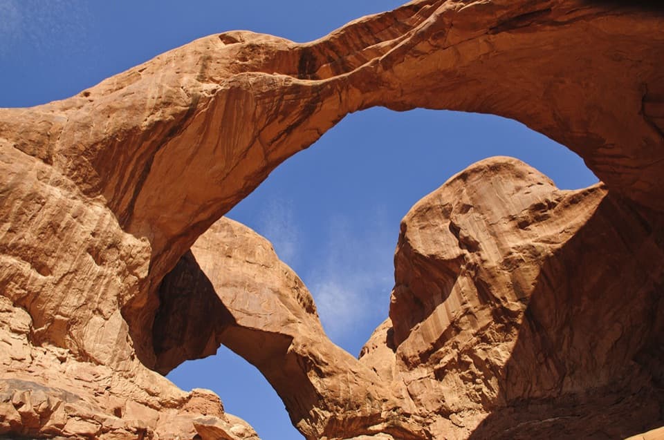
Parking
Start at Devils Garden Trailhead at the end of the park road. The popular lot can fill for hours during busy periods; restrooms are open year-round and drinking water is available spring through fall.
#5 of 28 trails in Arches
Arches National Park, UT
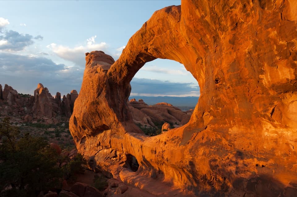
A rocky climb past Landscape Arch to two stacked openings.
Overview
Map & elevation
Plan your hike

The highest, rockiest slopes around here are a summer buffet for grizzly bears.
Arches Tour Guide
Parkwolf is a GPS audio tour guide for Arches National Park. As you drive, it chimes in with what’s ahead: hidden gems, upcoming stops, history, geology, and wildlife, right through your car’s speakers.
See the Arches audio tourRecorded for this trailhead
Devils Garden and Landscape Arch“Devils Garden is coming up, with a walk through tall sandstone fins to Landscape Arch. It's my pick for a shorter outing: one point nine miles round trip, allowing an hour to an hour and a half with stops.”
Plays as you drive up to this trailhead in the Parkwolf Arches Tour Guide.
More stories near here in the app
“I can’t believe how helpful this app is and how interesting the information is for each highlight along the Arches Scenic Drive! This is the first park I’ve used it in.”


Trail guide
Double O Arch is a 4.1-mile round-trip out-and-back from Devils Garden Trailhead, past Landscape Arch and over the fins to Double O, then back the same way. Allow about two to three hours. The approach is easy; beyond Landscape, steep sandstone climbs, rocky footing, narrow ledges and drop-offs make this a hard hike with hands-and-feet scrambling. The changing views are a big part of the reward. If the rougher section does not suit you, turn around at Landscape Arch for a 1.9-mile round trip.
The first stretch follows hard-packed trail over gentle rises between rock fins. Pine Tree and Tunnel arches are short optional spurs before Landscape; together they add 0.5 mile and are not part of the 4.1-mile route. The 1.9-mile round trip to Landscape is a worthwhile shorter walk. Double O is only about halfway out, and the terrain changes sharply beyond the overlook. Use that stop to judge whether you are comfortable continuing over exposed rock.
The main trail climbs steeply up and across sandstone fins. Expect rocky footing, high steps, repeated ups and downs, and narrow ledges beside steep drops. In places, the route crosses open slickrock and cairns mark the way instead of a clear cut path; keep track of them at turns. The terrain can change from sand to bare rock within a short stretch. If a step down or exposed edge does not feel comfortable, turn back the way you came.
Double O is two openings stacked in one sandstone formation. From a little distance, look for the smaller lower opening beneath the larger arch and the red fins beyond it. Do not walk or climb on any arch. The walk between fins is a large part of the payoff, not just the destination. The 0.8-mile round-trip spur to Dark Angel starts north of Double O and is not included here.
This route retraces the main trail to the trailhead. The Primitive Trail is a separate, much tougher return option, not part of the 4.1-mile line. Its one-way distance is about 2.1 miles, with difficult route-finding, steep slopes, narrow drop-offs, scrambling and a pool crossing that may contain water. Optional Navajo and Partition arch spurs also branch from the main trail; together they add 0.8 mile and are not counted here.
You pass Landscape Arch on the way out and back. Its opening spans 306 feet, with a narrowest section just 6 feet across; large pieces fell in the 1990s. The surrounding fins form as rainwater erodes parallel fractures created by uplift from buried salt deposits. Fins can eventually open into arches, so these formations record a landscape that is still changing.
The black, knobbly ground crust is a living community of cyanobacteria, lichens, mosses, algae, microfungi and bacteria. It binds loose soil and helps desert plants establish, but footsteps can break it. Follow the tread and cairns rather than walking around obstacles on the fragile soil. Avoid midday summer heat and carry water; much of the later route is exposed sandstone.
Devils Garden Trailhead is at the end of the park road, about 18 miles and a 45-minute drive from Arches Visitor Center. The popular lot can fill for hours during busy periods. Restrooms are open year-round; drinking water is available there in spring through fall. A picnic area lies south of the campground entrance, separate from the hike. Pets are not allowed on hiking trails; trained service animals are allowed.
Wildlife
 14 sightingsBighorn SheepMost seen around 7 AMSighting map
 10 sightingsPronghornMost seen around 7 AMSighting map
 610 sightingsRavenMost seen around 9 AMSighting map
 188 sightingsMule DeerMost seen around 7 PMSighting map
 51 sightingsPrairie DogMost seen around 8 AMSighting map
 15 sightingsCoyoteMost seen around 6 AMSighting map
Sighting maps show where each species has been reported across Arches. Wildlife moves, so no sighting is guaranteed.
Keep exploring
 ChallengingPrivate Arch Trail5.5 mi · 3.5 hr · At the trailheadScramble a rough Primitive Trail route to a tucked-away arch.
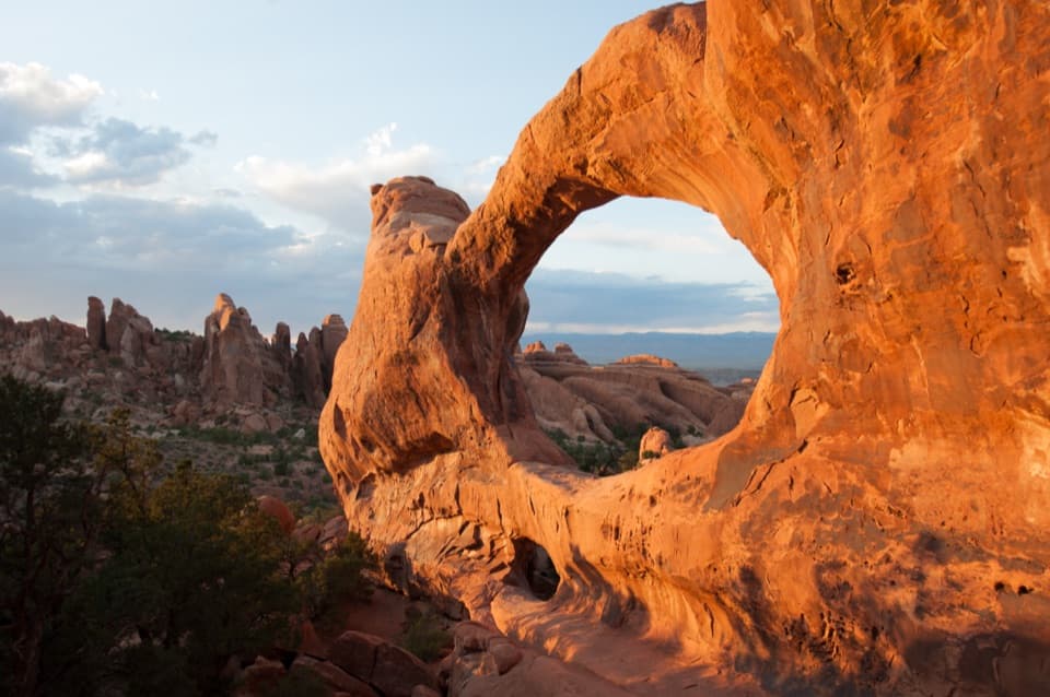 ChallengingDevils Garden Trail7.9 mi · 5 hr · At the trailheadSeven arches, a dark spire, and a rough Primitive Trail return.
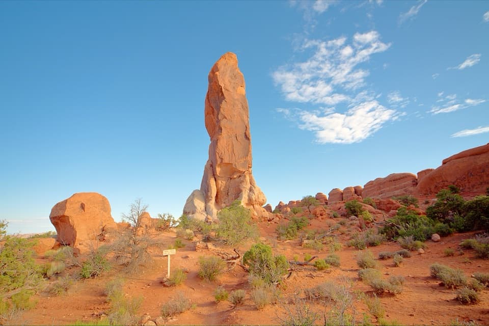 ChallengingDark Angel Trail4.9 mi · 3 hr · At the trailheadA long, scrambly walk to a solitary sandstone spire.
 EasyLandscape Arch Trail1.9 mi · 1.3 hr · At the trailheadA short walk to a sandstone span that looks impossibly thin.
 EasyPine Tree and Tunnel Arches Trail1 mi · 45 min · At the trailheadTwo easy arch detours through sandstone fins.
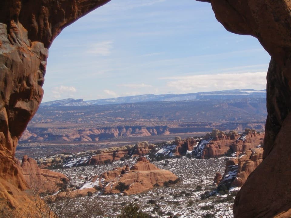 ModerateNavajo and Partition Arches Trail3.4 mi · 2.5 hr · At the trailheadA shaded tunnel and a mountain-framed window beyond Landscape Arch.
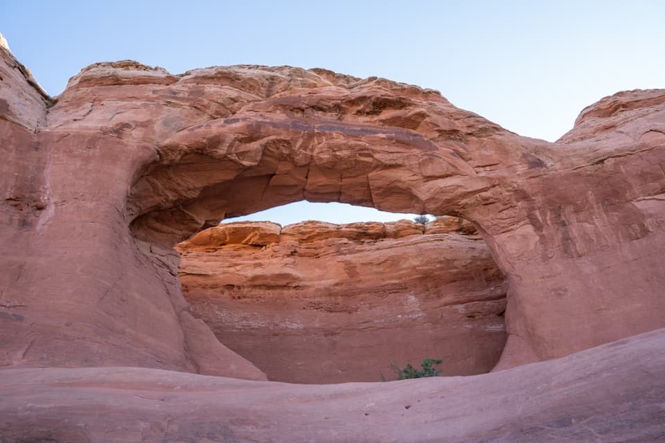 EasyTapestry Arch Trail0.7 mi · 30 min · 0.7 mi awayA short sandy walk to a striking arch with three openings.
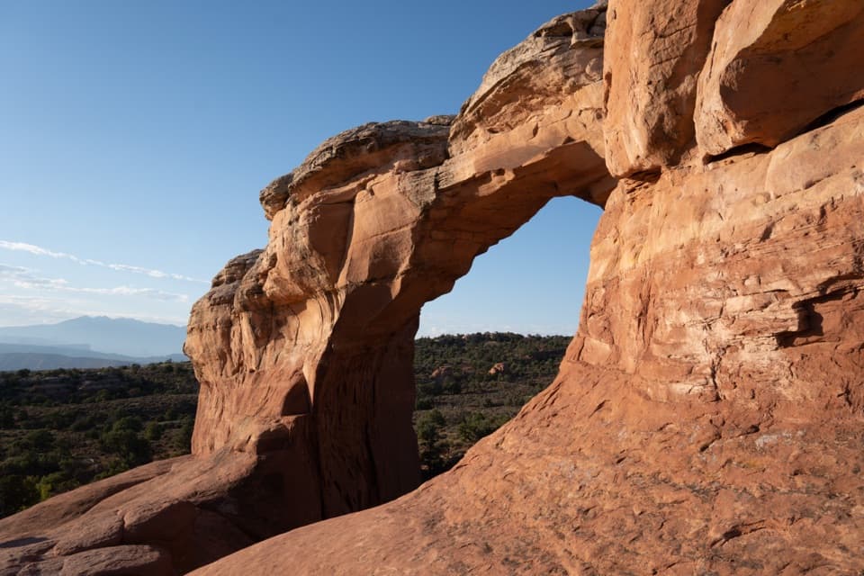 ModerateBroken Arch Trail1.4 mi · 1 hr · 0.7 mi awayOpen meadow, a sandstone arch, and a scrambly return through fins.
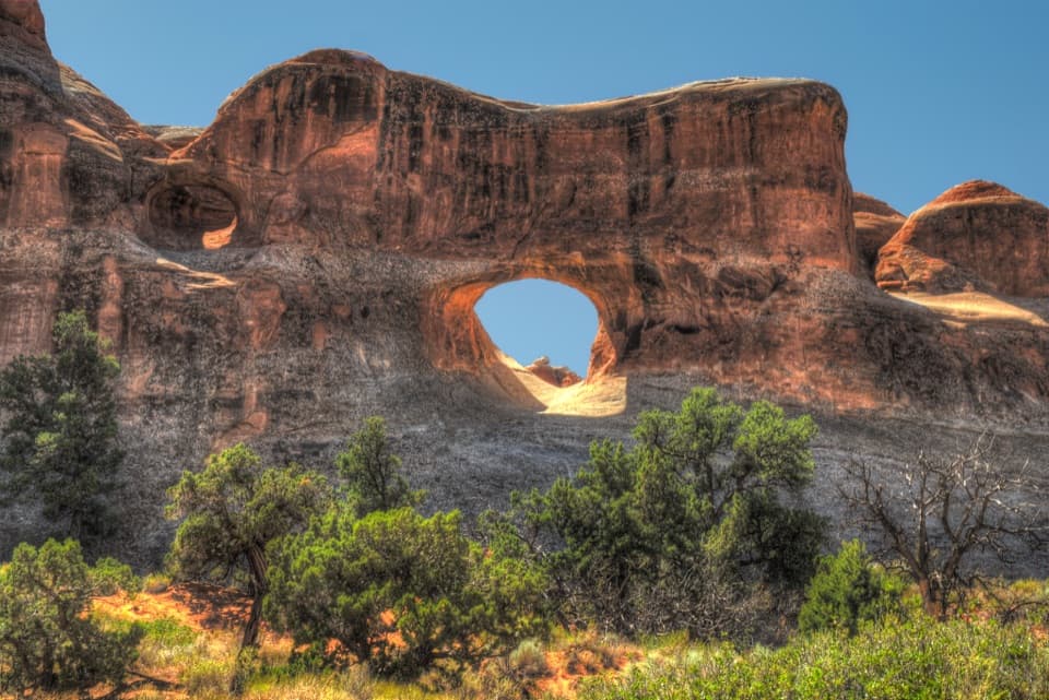 Sight · 0.2 mi awayTunnel ArchA quick Devils Garden detour for a window in the sandstone.
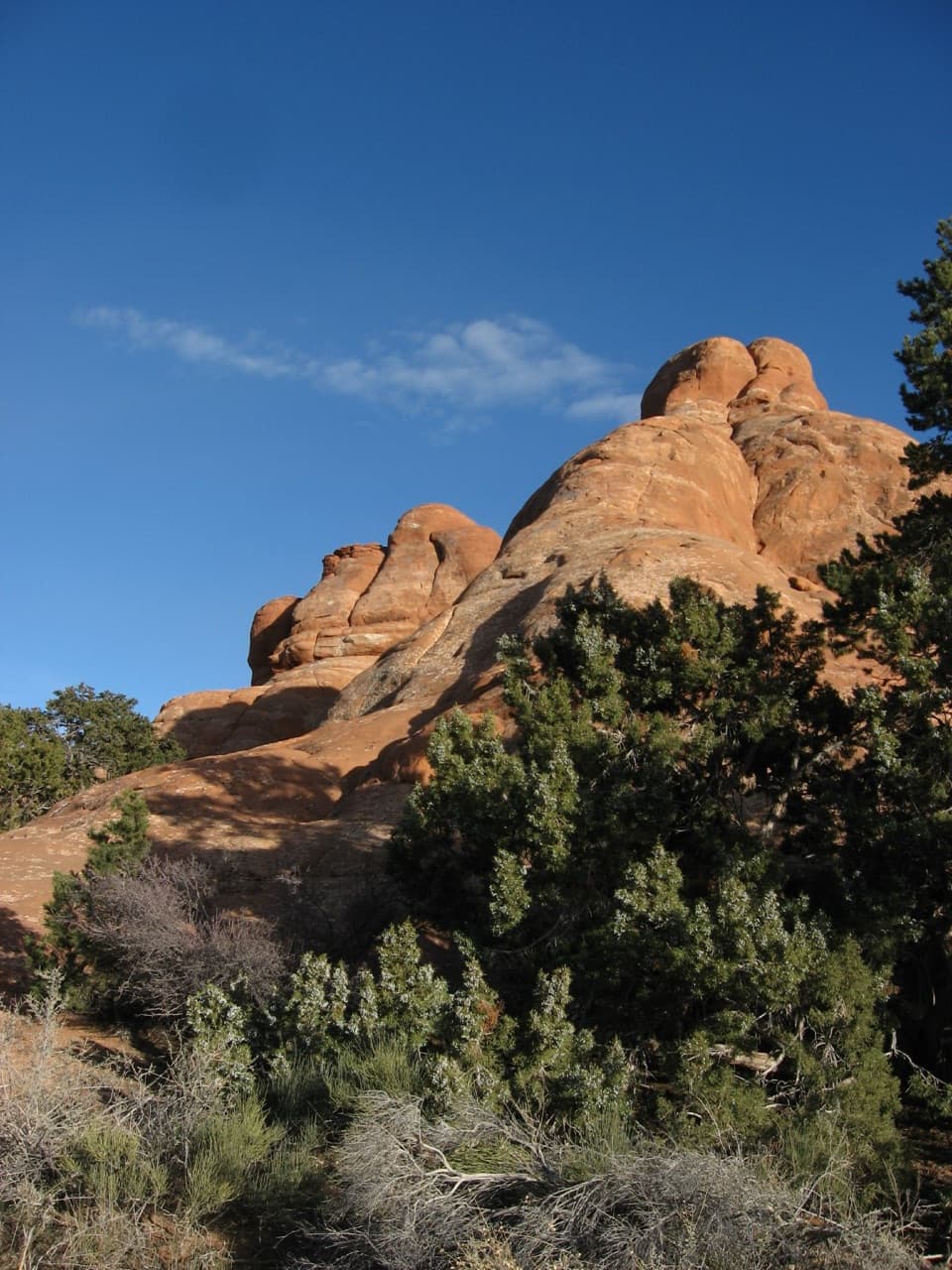 Picnic area · 0.3 mi awayDevils Garden Picnic AreaA handy meal stop among sandstone fins at road’s end.
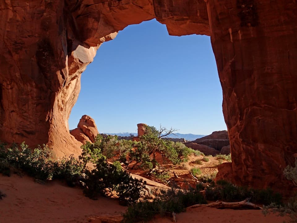 Sight · 0.4 mi awayPine Tree ArchA pine and low sandstone opening reward the short Devils Garden detour.
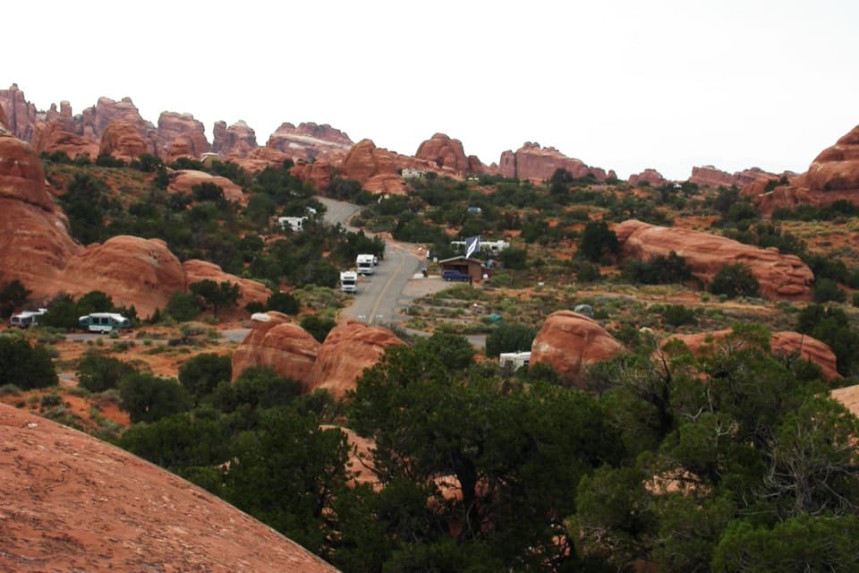 Campground · 0.5 mi awayDevils Garden CampgroundCamp among the sandstone fins, with arches close by.
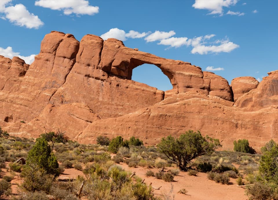 Sight · 0.6 mi awaySkyline ArchA quick stop for an arch reshaped by a 1940 rockfall.
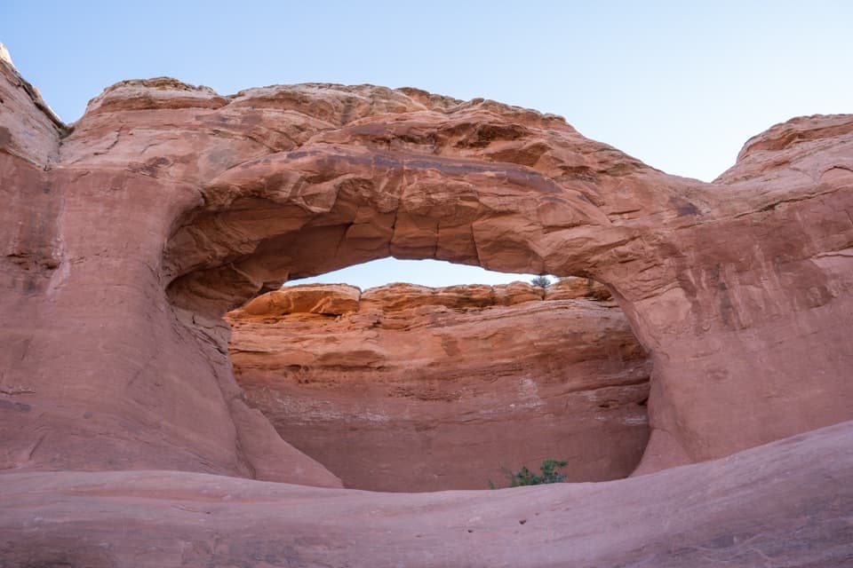 Sight · 0.8 mi awayTapestry ArchA quieter arch spur with one opening and two shallow false arches.
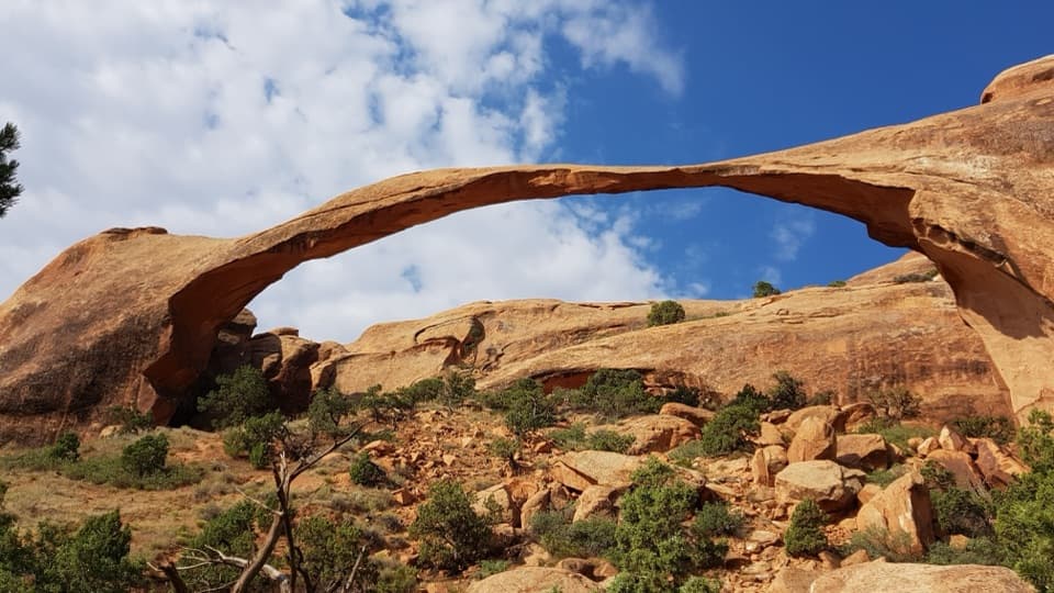 Sight · 0.8 mi awayLandscape ArchThe easy walk leads to a 306-foot span only six feet thick.
 Sight · 0.9 mi awayNavajo ArchA low, shady arch worth the tougher Devils Garden detour.
Parkwolf’s Arches ranking

The audio tour guide for the drive, plus offline maps, trails, and wildlife heatmaps for when the signal drops.