Landscape Arch Trail in Arches National Park

#3 of 28 trails in Arches

Arches National Park, UT

Landscape Arch Trail

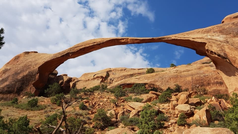
A short walk to a sandstone span that looks impossibly thin.

Photo: Wikimedia Commons
Length
1.9mi
Time
1.3hr
Elev. change
128ft
Difficulty
Easy
  • No dogs
  • High point 5,308 ft

Hear the audio tour

Devils Garden and Landscape Arch

Overview

About Landscape Arch Trail

Why go

  • A short, easy route reaches a landmark 306-foot arch.
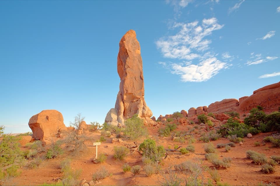
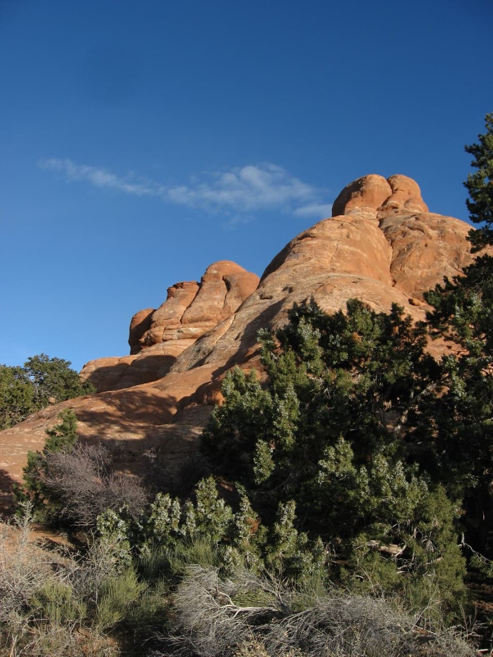
  • The approach winds through tall sandstone fins.

Heads up

  • The final slope to the viewpoint is steep.
  • The popular trailhead lot often fills on busy days.

Map & elevation

The route

Loading the Arches map
Full map
Elevation5,180–5,308 ft
TrailheadDevils Garden Trailhead38.78281, -109.59503
Keep this map with you offline in the Parkwolf app

Plan your hike

Before you go

Parking

Start at the Devils Garden Trailhead lot at the end of the main park road, about 18 miles from the entrance station. The lot has 160 spaces, including 10 for oversized vehicles, but is often busy and can fill on weekends and holidays. Toilets are open year-round; drinking water is available at the trailhead in spring through fall.

Safety

The final approach to the viewing area has a steep slope that may require assistance. Turn around at Landscape Arch for the easy route; the continuation beyond becomes difficult, with scrambling, narrow ledges and exposure. Dogs are not allowed on the trail; service animals are permitted.

A park ranger sits on a dash-mounted phone, talking, as Parkwolf’s Tour Guide plays “Army Cutworm Moths: A Grizzly Bear Buffet” on Grand Loop Road below Dunraven Pass in Yellowstone
Parkwolf Tour GuideThe highest, rockiest slopes around here are a summer buffet for grizzly bears.

Arches Tour Guide

Your drive to Landscape Arch Trail, narrated.

Parkwolf is a GPS audio tour guide for Arches National Park. As you drive, it chimes in with what’s ahead: hidden gems, upcoming stops, history, geology, and wildlife, right through your car’s speakers.

See the Arches audio tour

Recorded for this trailhead

Devils Garden and Landscape Arch
0:00 / 0:27
“Devils Garden is coming up, with a walk through tall sandstone fins to Landscape Arch. It's my pick for a shorter outing: one point nine miles round trip, allowing an hour to an hour and a half with stops.”

Plays as you drive up to this trailhead in the Parkwolf Arches Tour Guide.

More stories near here in the app

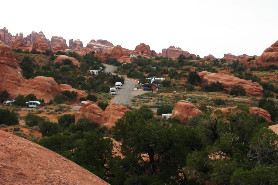
  • Devils Garden Campground and Tapestry Arch
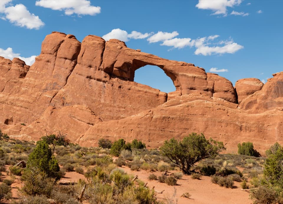
  • Skyline Arch
  • Ears That Shed Heat
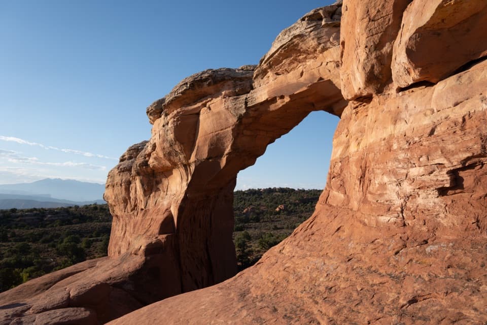
  • Sand Dune Arch and Broken Arch
  • 35 audio storiesacross Arches’s roads, triggered by GPS as you drive
  • Wildlife heatmapsfor Bighorn Sheep, Pronghorn, Raven, and 13 more
  • Works offlinemaps, 28 trails, 41 places, and audio download before you lose signal
  • CarPlay readysimple controls built for the drive
★★★★★
“I can’t believe how helpful this app is and how interesting the information is for each highlight along the Arches Scenic Drive! This is the first park I’ve used it in.”
ThisismylifeniloveitApp Store review
Download Parkwolf on the App StoreGet Parkwolf on Google Play

4.7 from 8,600+ ratings

Trail guide

Hiking Landscape Arch Trail

A short walk with a big payoffLandscape Arch Trail is a roughly 1.

Landscape Arch Trail is a roughly 1.9-mile out-and-back from Devils Garden Trailhead to the fenced viewing area beneath Landscape Arch. The compact route rolls over hard-packed dirt and gravel among tall sandstone fins before a short, steep final approach. The reward is a long, delicate span stretched across the rock face, with open desert beneath it. It is one of the park’s headline hikes without taking half a day. The walking route is listed at 30 to 60 minutes; plan about an hour to an hour and a half if you want time at the viewpoint. The final slope can require help for some visitors.

Keep to the easier routeFrom the parking lot, follow the established path as it winds between sandstone walls and…

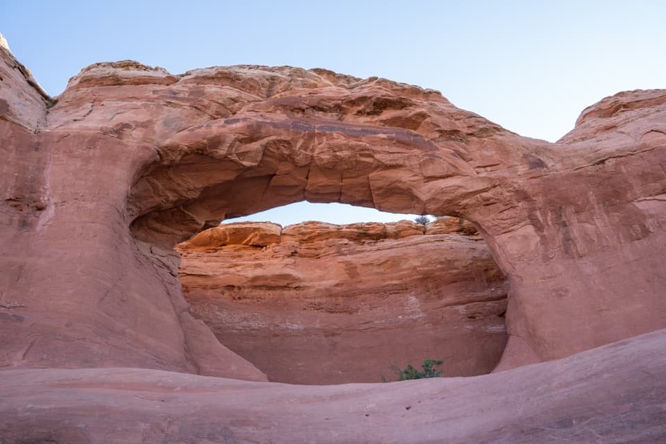
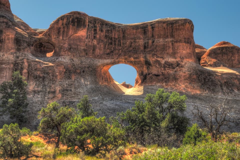
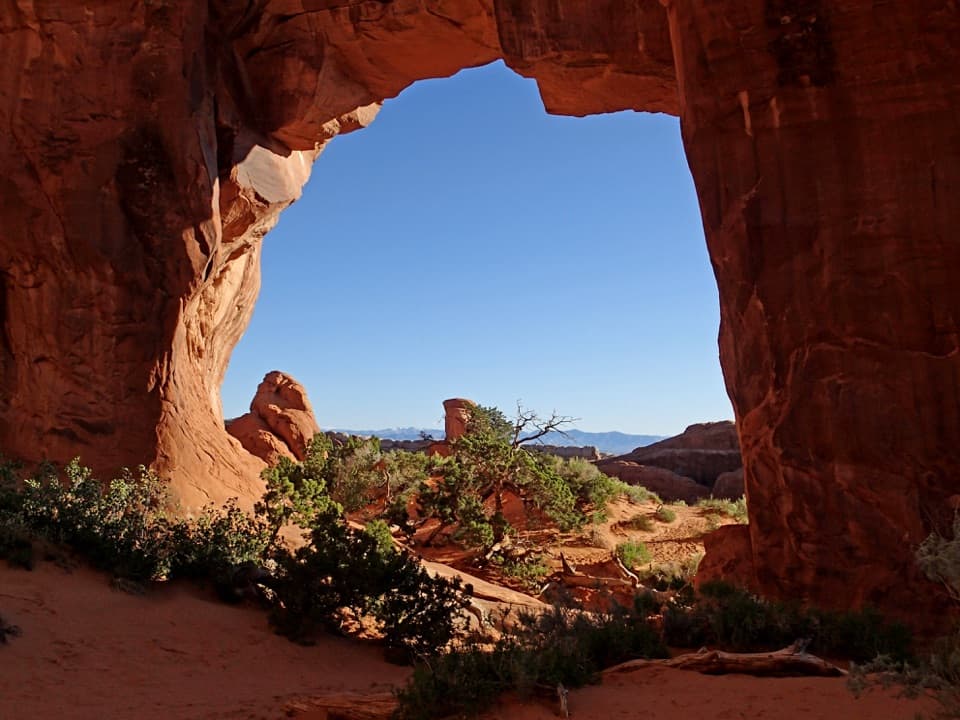
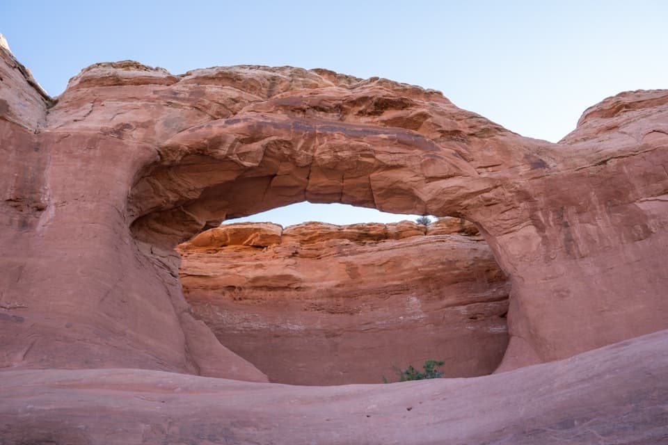
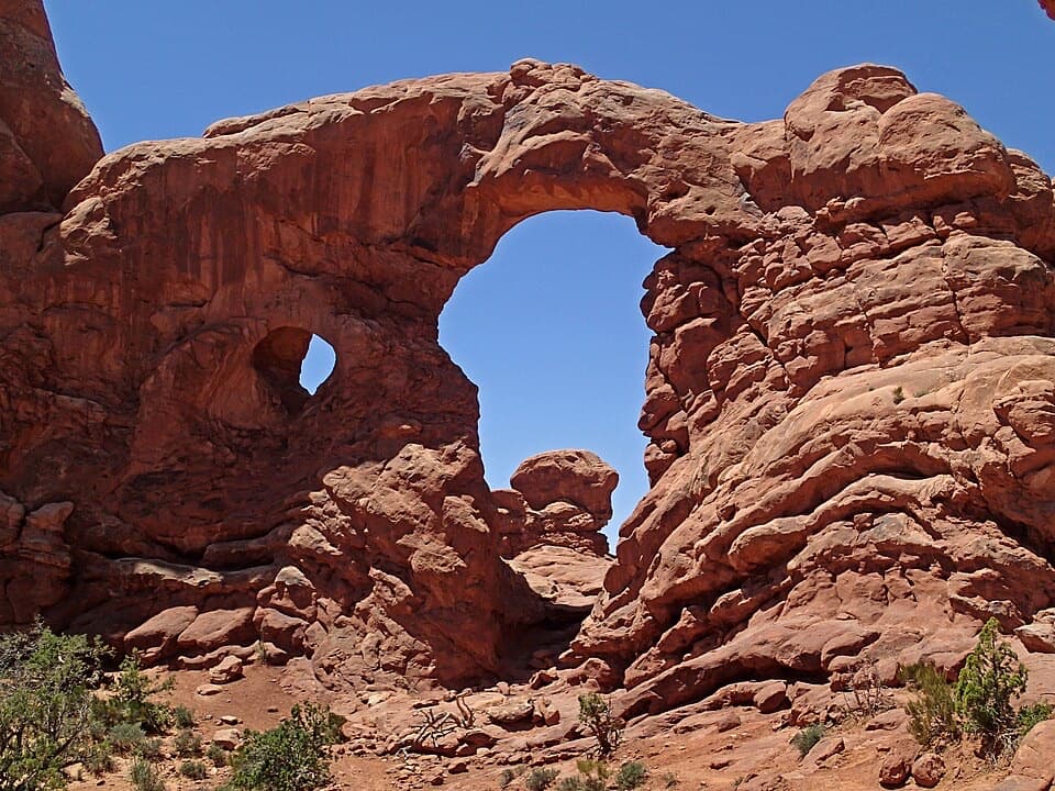
From the parking lot, follow the established path as it winds between sandstone walls and spires. The grade comes in gentle ups and downs rather than a sustained climb, and the hard-packed surface makes the main approach straightforward. Two short side trails to Pine Tree Arch and Tunnel Arch branch off before Landscape Arch; together they add about half a mile round trip. They are worthwhile if you want extra stops, but they are not part of this direct route. Stay on the signed Landscape Arch line. At the viewing area, turn around for the easy hike described here. The Devils Garden trail carries on beyond the arch, but becomes a different undertaking: a steep climb onto sandstone with rocky footing, scrambling, narrow ledges and exposure.

Give the arch a proper lookLandscape Arch spans 306 feet across its opening, the longest natural arch span in North…

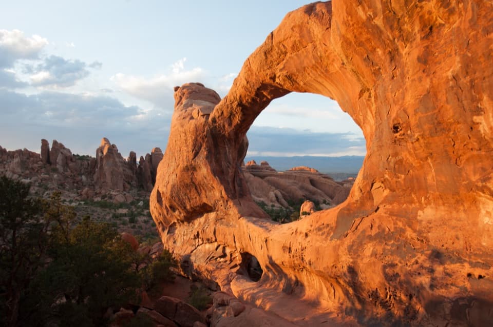
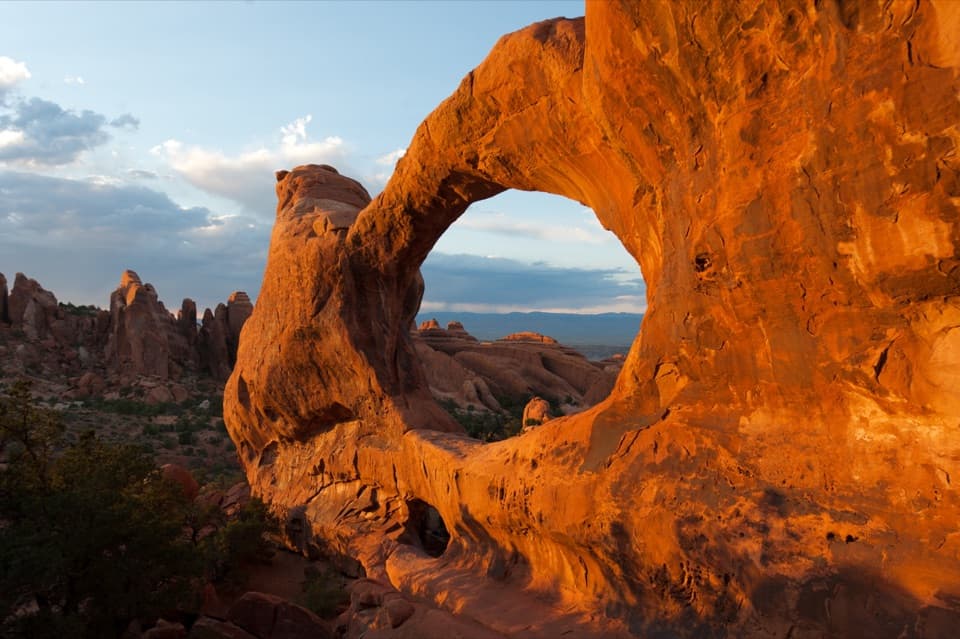
Landscape Arch spans 306 feet across its opening, the longest natural arch span in North America. Its thinnest section is only about six feet wide, so from the protected viewing area it can look more like a narrow ribbon than a solid bridge. A short viewing spur gives a closer angle; stay on the marked path and outside the protected area. For a photo, include part of the fenced path below the span so the frame shows how broad the opening is. The arch has not always looked as it does now: large sections fell away in the 1990s. The route ends at the official viewing area, not beneath the arch.

A landscape still changingThe trail passes through tall, parallel sandstone fins, the walls that give Devils Garden its…

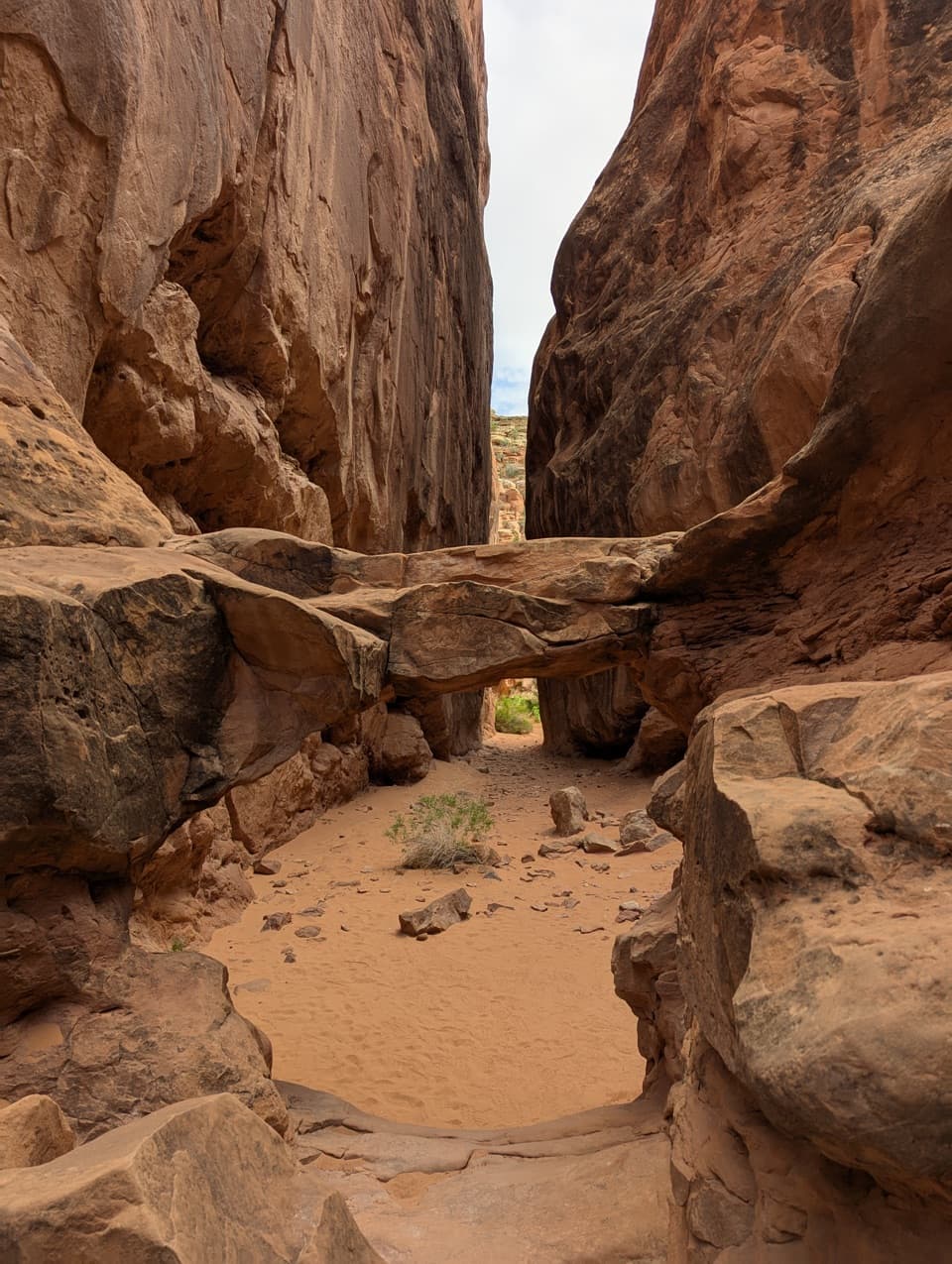
The trail passes through tall, parallel sandstone fins, the walls that give Devils Garden its narrow corridors. Rainwater enters fractures created as buried salt pushed the rock above it upward. As the cracks widen, the fins separate; erosion can then open a hole through a fin and leave an arch. Landscape Arch is one stage in that process, still unusually thin after the loss of large pieces. Look back along the fins on the way out: the same fractured sandstone that makes the corridor also explains how the arch formed.

Start preparedThe Devils Garden lot is at the end of the main park road, about 18 miles from the entrance…

The Devils Garden lot is at the end of the main park road, about 18 miles from the entrance station and a 40- to 45-minute drive from the visitor center. It has 160 spaces, including 10 oversized-vehicle spaces, but is often busy through much of the day and can fill on weekends and holidays. Toilets are open year-round. Drinking water is available at the trailhead from spring through fall; fill up there before setting out. Dogs are not allowed on park trails, though service animals are permitted.

Wildlife

Wildlife in Arches

All Arches wildlife maps

Sighting maps show where each species has been reported across Arches. Wildlife moves, so no sighting is guaranteed.

Keep exploring

Near Landscape Arch Trail

See it all on the map

Trails that start nearby

Places near the trailhead

Parkwolf’s Arches ranking

Top-rated trails in Arches

All 28 trails
  1. 1Delicate Arch TrailChallenging · 3 mi
  2. 2Devils Garden TrailChallenging · 7.9 mi
  3. 4Fiery Furnace LoopChallenging · 1.2 mi
  4. 5Double O Arch TrailChallenging · 4.1 mi
  5. 6The Windows TrailEasy · 1 mi
  6. 7Double Arch Viewpoint and TrailEasy · 0.6 mi

Take Parkwolf to Arches.

The audio tour guide for the drive, plus offline maps, trails, and wildlife heatmaps for when the signal drops.

4.7 from 8,600+ ratings

Download Parkwolf on the App StoreGet Parkwolf on Google Play