Fiery Furnace Loop in Arches National Park

#4 of 28 trails in Arches

Arches National Park, UT

Fiery Furnace Loop

A desert maze of squeeze-throughs, scrambles, and sandstone arches

Photo: Wikimedia Commons
Length
1.2mi
Time
3hr
Elev. change
223ft
Difficulty
Challenging
  • Loop
  • No dogs
  • High point 4,898 ft

Hear the audio tour

Fiery Furnace Viewpoint

Overview

About Fiery Furnace Loop

Why go

  • A close-up maze of sandstone corridors, arches and fins unlike the roadside walks.
  • Only about 1.2 mapped miles for a full, varied loop.

Heads up

  • Advance permit and visitor-center orientation add planning.
  • Scrambling, squeezes, ledges and poor GPS are a tough combination for inexperienced navigators.

Map & elevation

The route

Loading the Arches map
Full map
Elevation4,675–4,898 ft
TrailheadFiery Furnace permit entrance / parking turnout38.74326, -109.56584
Keep this map with you offline in the Parkwolf app

Plan your hike

Before you go

Parking

Use the signed Fiery Furnace turnout on Arches Scenic Drive. The National Park Service lists vehicle parking and a vault/composting toilet here; the same roadside area also serves the separate Fiery Furnace Viewpoint. Pick up a self-guided permit at Arches Visitor Center before driving out.


Safety

Entry requires a ranger-led tour or advance self-guided permit and visitor-center orientation. The mapped route has loose sand, broken sandstone, narrow ledges over drops, gaps, climbs and tight squeezes. Small markers are easy to miss, GPS is unreliable, and turning back may not be practical. Every hiker must be able to finish; no pets or children under five. Carry at least one quart or liter of water.

A park ranger sits on a dash-mounted phone, talking, as Parkwolf’s Tour Guide plays “Army Cutworm Moths: A Grizzly Bear Buffet” on Grand Loop Road below Dunraven Pass in Yellowstone
Parkwolf Tour GuideThe highest, rockiest slopes around here are a summer buffet for grizzly bears.

Arches Tour Guide

Your drive to Fiery Furnace Loop, narrated.

Parkwolf is a GPS audio tour guide for Arches National Park. As you drive, it chimes in with what’s ahead: hidden gems, upcoming stops, history, geology, and wildlife, right through your car’s speakers.

See the Arches audio tour

Recorded for this trailhead

Fiery Furnace Viewpoint
0:00 / 0:34
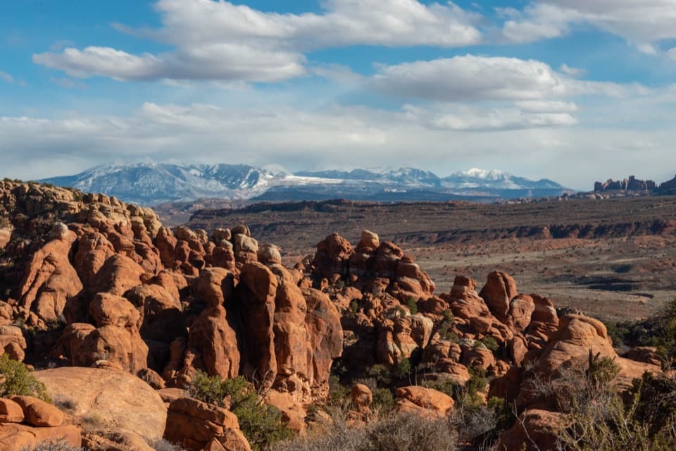
“You're coming up on Fiery Furnace Viewpoint, looking across a tightly packed maze of sandstone walls. Take the short path from the lot for a look at how the narrow fins crowd together.”

Plays as you drive up to this trailhead in the Parkwolf Arches Tour Guide.

More stories near here in the app

  • Salt Valley Overlook
  • Why the Rocks Are Red
  • Pine Nuts for Later
  • The Desert's Living Skin
  • 35 audio storiesacross Arches’s roads, triggered by GPS as you drive
  • Wildlife heatmapsfor Bighorn Sheep, Pronghorn, Raven, and 13 more
  • Works offlinemaps, 28 trails, 41 places, and audio download before you lose signal
  • CarPlay readysimple controls built for the drive
★★★★★
“I can’t believe how helpful this app is and how interesting the information is for each highlight along the Arches Scenic Drive! This is the first park I’ve used it in.”
ThisismylifeniloveitApp Store review
Download Parkwolf on the App StoreGet Parkwolf on Google Play

4.7 from 8,600+ ratings

Trail guide

Hiking Fiery Furnace Loop

A short loop that asks a lotFiery Furnace Loop is an approximately 1.

Fiery Furnace Loop is an approximately 1.2-mile counterclockwise circuit through the narrow sandstone fins of Arches National Park. Low arches, tight corridors, boulder scrambling and dead ends make it a three-hour outing, not a quick stroll. The challenge is moving through broken rock while keeping the marked route; first-time visitors should take a ranger-led hike or go with someone experienced. This distance follows the mapped loop and leaves out unmarked exploring and backtracking.

Read the markers, not every openingSmall arrows mark the counterclockwise route, but they can disappear among the fins and many…

Small arrows mark the counterclockwise route, but they can disappear among the fins and many passages end without going anywhere. GPS reception is poor between the walls. Keep track of the markers, watch where the route turns, and stay on durable rock rather than cutting across sand dunes and drainages. Those pockets hold fragile plants and wildlife.

The footing is the serious partExpect irregular sandstone, loose sand, narrow ledges above drop-offs, short climbs, gaps to…

Expect irregular sandstone, loose sand, narrow ledges above drop-offs, short climbs, gaps to jump and tight squeezes. Some passages require bracing your hands and feet against opposite walls. The park warns that everyone must be capable of completing the route because turning back may not be practical. Wear grippy shoes and carry at least one quart or liter of water.

A maze carved in sandstoneThe tall fins are Entrada Sandstone.

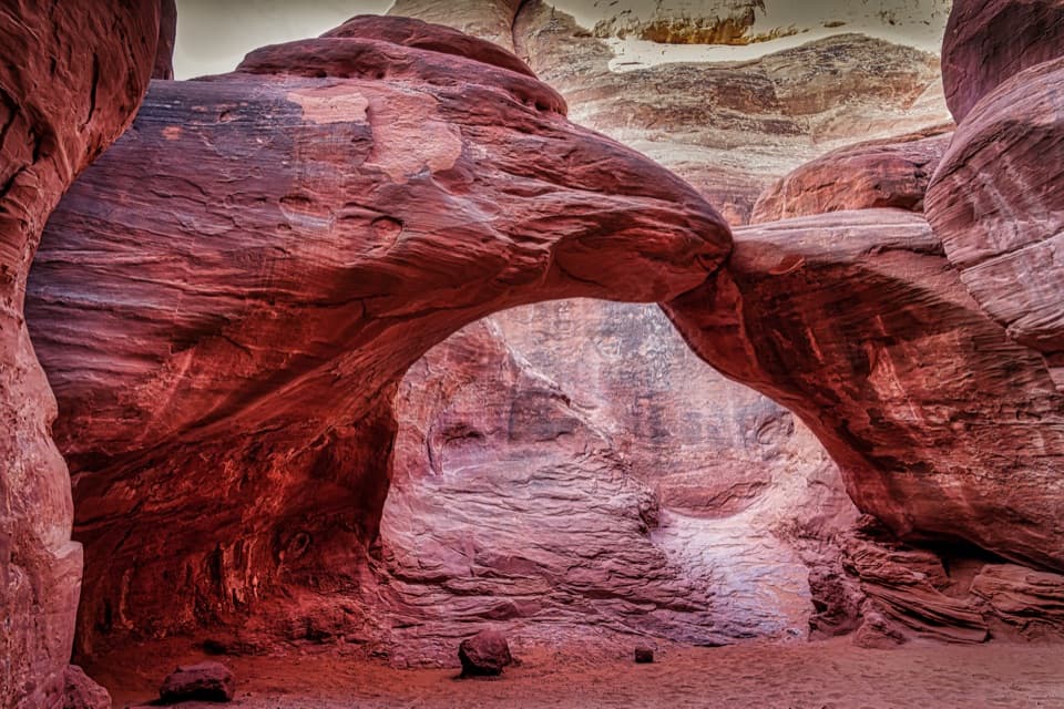
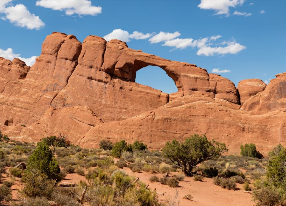
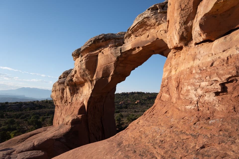
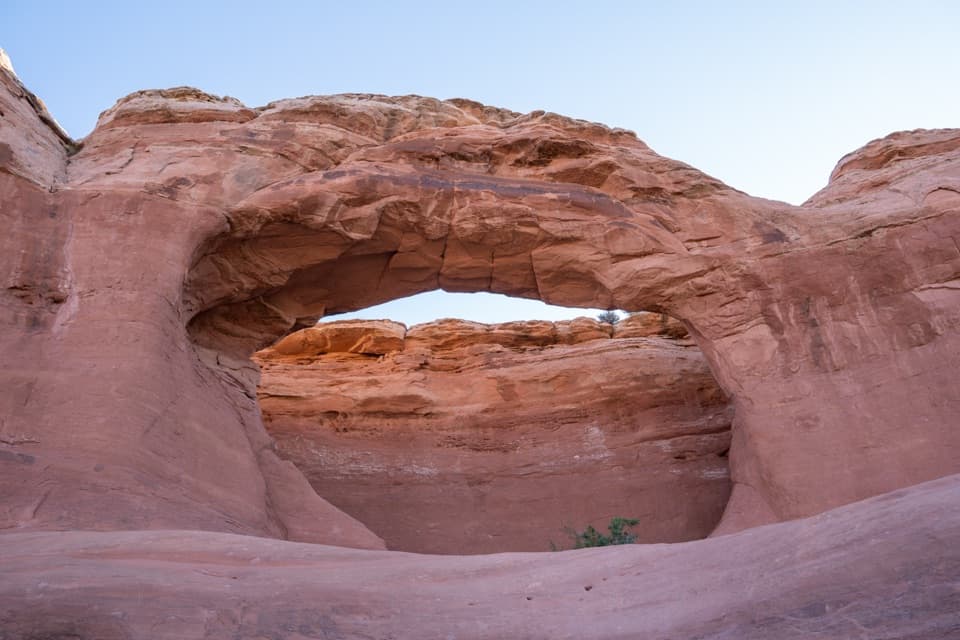
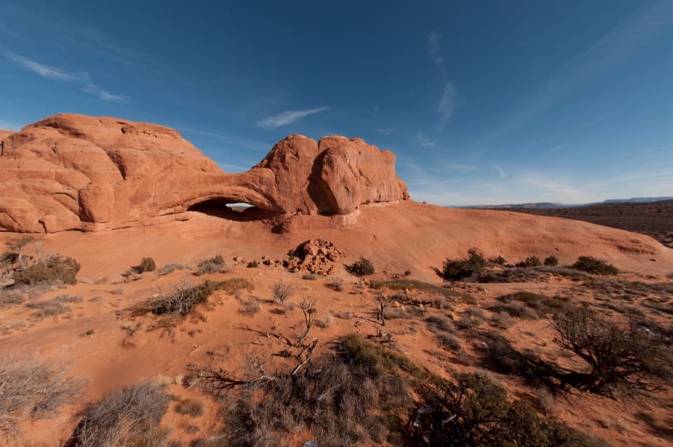
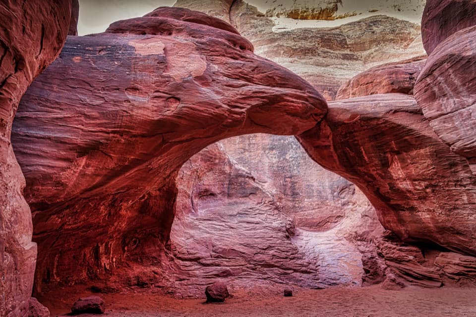
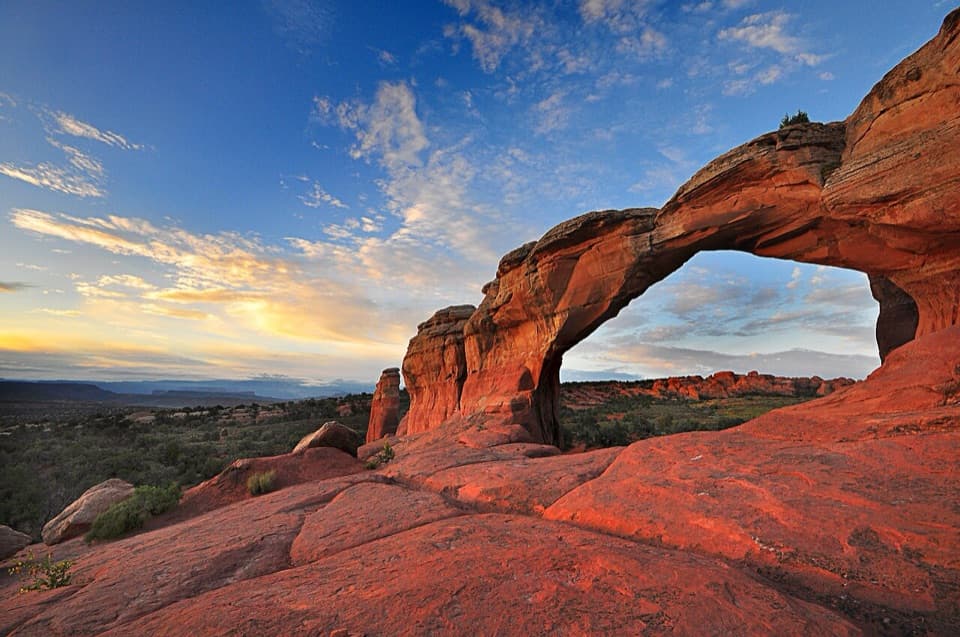
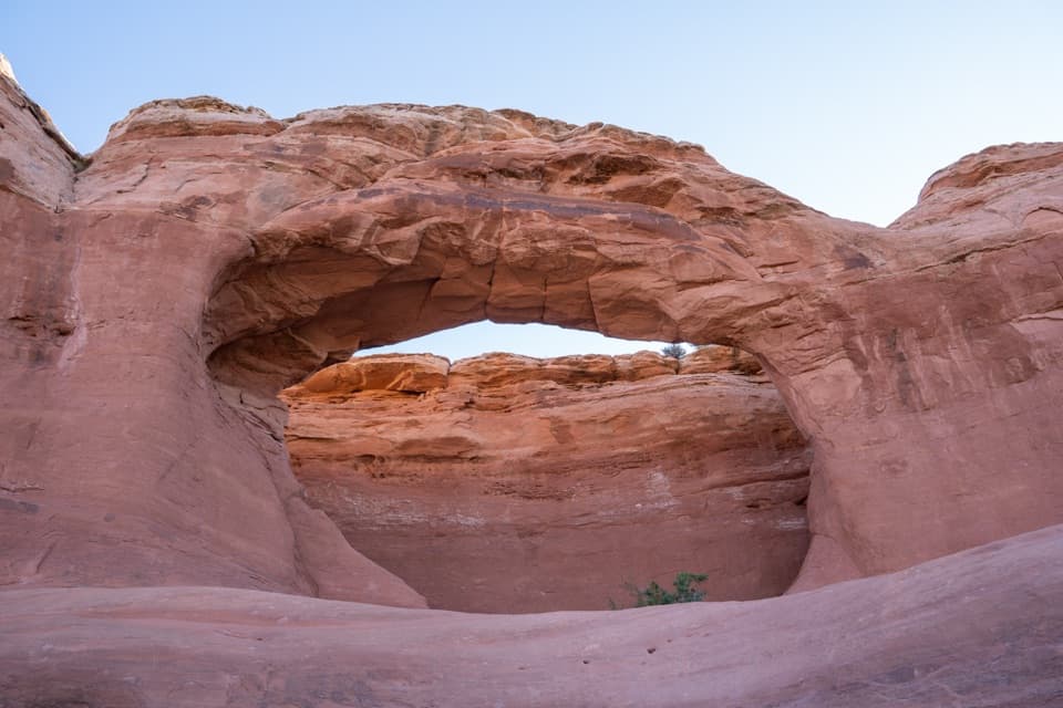
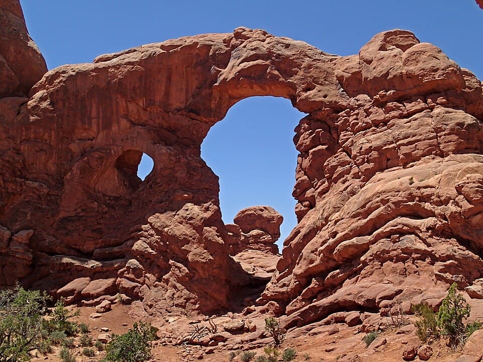
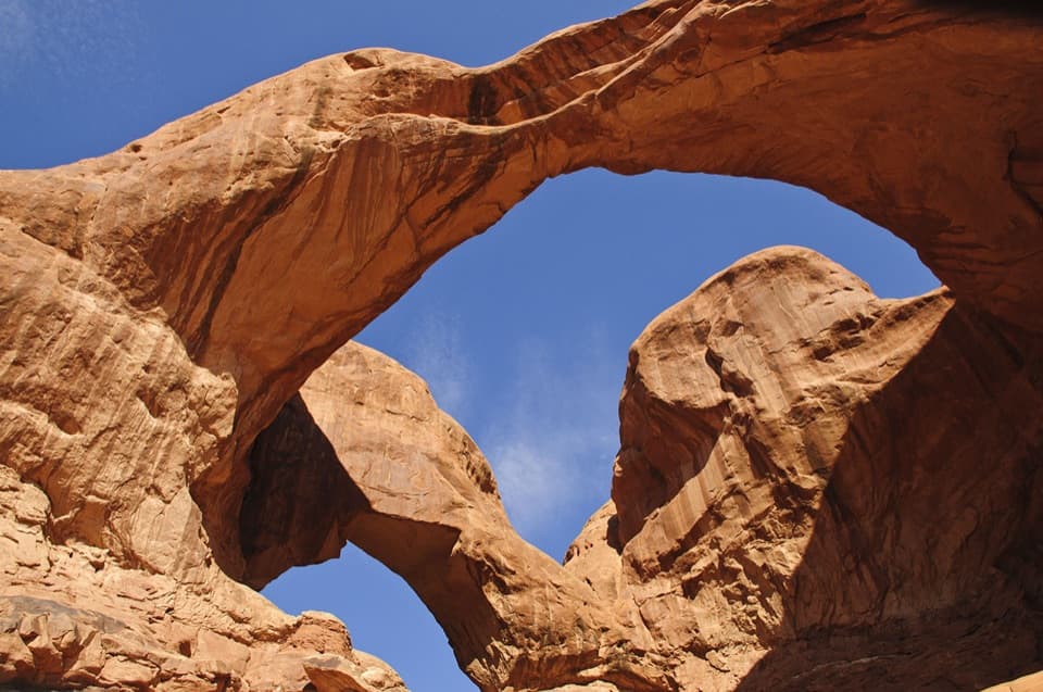
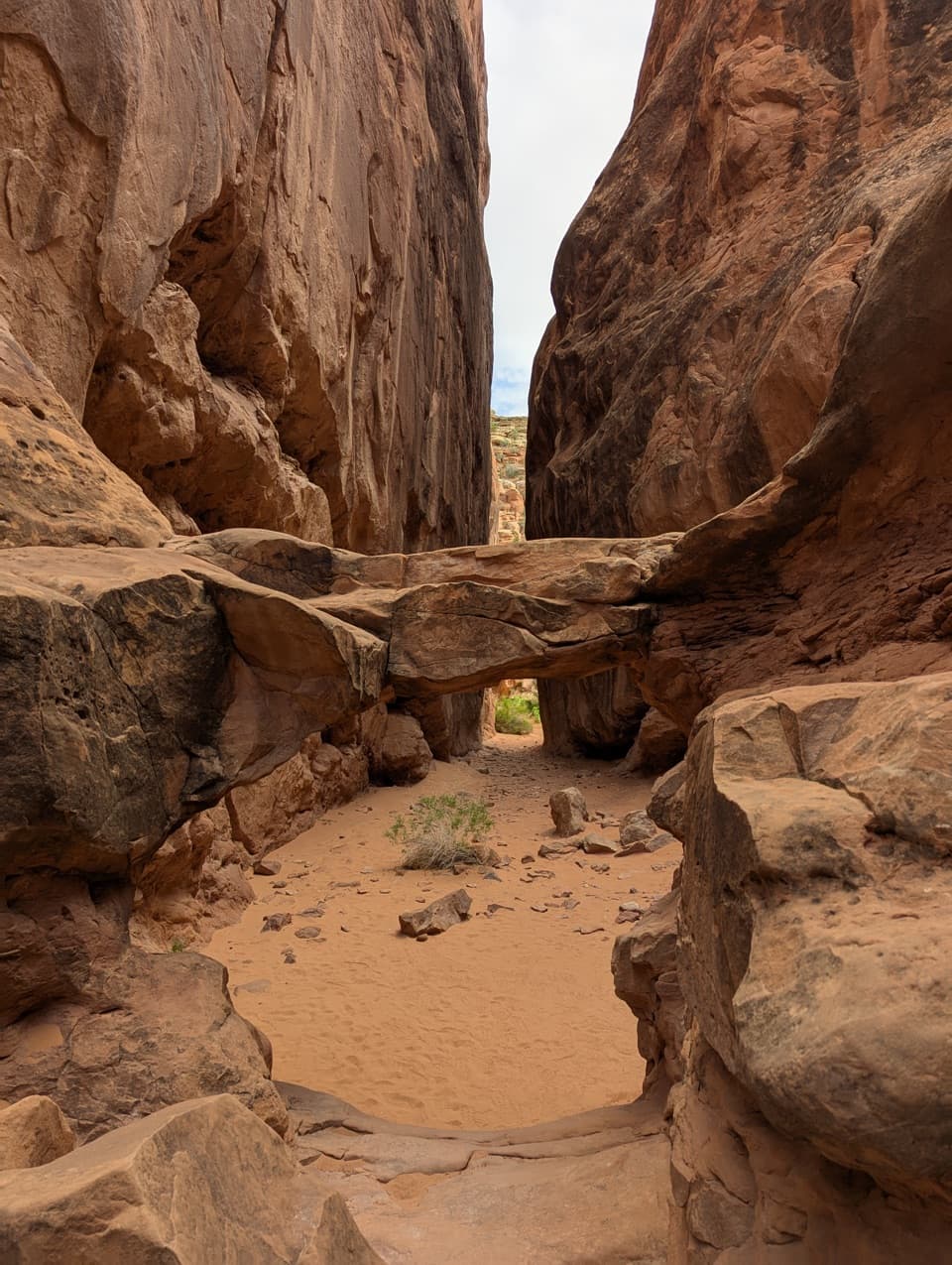
The tall fins are Entrada Sandstone. Erosion widened vertical cracks in the rock, leaving the narrow walls and passages that make the Furnace feel like a maze. The cracks likely began as the Salt Valley anticline formed below the valley. The Fiery Furnace name comes from the red glow on the walls at the separate roadside viewpoint in low-angle light. A low arch over a sandy corridor is a good photo stop—keep the floor and both walls in frame to show how tight the passage is.

Permits, parking and suppliesYou may enter only on a reserved self-guided permit or ranger-led hike.

You may enter only on a reserved self-guided permit or ranger-led hike. Self-guided permits require advance booking, pickup and a visitor-center orientation with video; they are for day use from sunrise to sunset. Self-guided groups are limited to six; children under five and pets are not allowed in the Furnace. Park at the signed Fiery Furnace turnout on Arches Scenic Drive; the lot has a vault/composting toilet. Bring your water because there is no refill point inside.

Prefer a view from the road?The Fiery Furnace Viewpoint is a separate short path from the same roadside area.

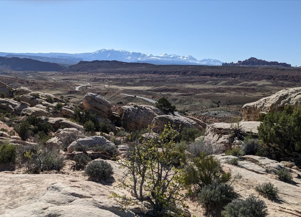
The Fiery Furnace Viewpoint is a separate short path from the same roadside area. It gives you a look across the fins without entering the permit-controlled maze; it is a different outing, not a shorter version of this loop.

Wildlife

Wildlife in Arches

All Arches wildlife maps

Sighting maps show where each species has been reported across Arches. Wildlife moves, so no sighting is guaranteed.

Keep exploring

Near Fiery Furnace Loop

See it all on the map

Trails that start nearby

Places near the trailhead

Parkwolf’s Arches ranking

Top-rated trails in Arches

All 28 trails
  1. 1Delicate Arch TrailChallenging · 3 mi
  2. 2Devils Garden TrailChallenging · 7.9 mi
  3. 3Landscape Arch TrailEasy · 1.9 mi
  4. 5Double O Arch TrailChallenging · 4.1 mi
  5. 6The Windows TrailEasy · 1 mi
  6. 7Double Arch Viewpoint and TrailEasy · 0.6 mi

Take Parkwolf to Arches.

The audio tour guide for the drive, plus offline maps, trails, and wildlife heatmaps for when the signal drops.

4.7 from 8,600+ ratings

Download Parkwolf on the App StoreGet Parkwolf on Google Play