Devils Garden Trail in Arches National Park

#2 of 28 trails in Arches

Arches National Park, UT

Devils Garden Trail

Seven arches, a dark spire, and a rough Primitive Trail return.

Photo: National Park Service
Length
7.9mi
Time
5hr
Elev. change
400ft
Difficulty
Challenging
  • Loop
  • No dogs
  • High point 5,469 ft

Hear the audio tour

Devils Garden and Landscape Arch

Overview

About Devils Garden Trail

Why go

  • Seven named arches and a dark spire on one full circuit
  • Shorter turnbacks make it easy to choose a lighter version

Heads up

  • Narrow ledges, drop-offs and hands-on scrambling above Landscape Arch
  • The Primitive return needs route-finding and may cross a water-filled pool

Map & elevation

The route

Loading the Arches map
Full map
Elevation5,069–5,469 ft
TrailheadDevils Garden Trailhead38.78288, -109.59500
Keep this map with you offline in the Parkwolf app

Plan your hike

Before you go

Parking

Use the Devils Garden Trailhead lot at the end of the park road, about 18 miles (45 minutes) from the visitor center. It gets very busy during peak season and holiday weekends. The day-use picnic area is south of the campground, separate from the trail route.

Safety

Beyond Landscape Arch, expect steep rocky climbs, narrow exposed ledges and hands-on scrambling. The Primitive Trail adds route-finding and a pool that may contain water; avoid it when the rock is wet or icy, or if heights are uncomfortable. Avoid the middle of the day in summer heat. Pets are prohibited on park hiking trails; service animals are allowed.

A park ranger sits on a dash-mounted phone, talking, as Parkwolf’s Tour Guide plays “Army Cutworm Moths: A Grizzly Bear Buffet” on Grand Loop Road below Dunraven Pass in Yellowstone
Parkwolf Tour GuideThe highest, rockiest slopes around here are a summer buffet for grizzly bears.

Arches Tour Guide

Your drive to Devils Garden Trail, narrated.

Parkwolf is a GPS audio tour guide for Arches National Park. As you drive, it chimes in with what’s ahead: hidden gems, upcoming stops, history, geology, and wildlife, right through your car’s speakers.

See the Arches audio tour

Recorded for this trailhead

Devils Garden and Landscape Arch
0:00 / 0:27
“Devils Garden is coming up, with a walk through tall sandstone fins to Landscape Arch. It's my pick for a shorter outing: one point nine miles round trip, allowing an hour to an hour and a half with stops.”

Plays as you drive up to this trailhead in the Parkwolf Arches Tour Guide.

More stories near here in the app

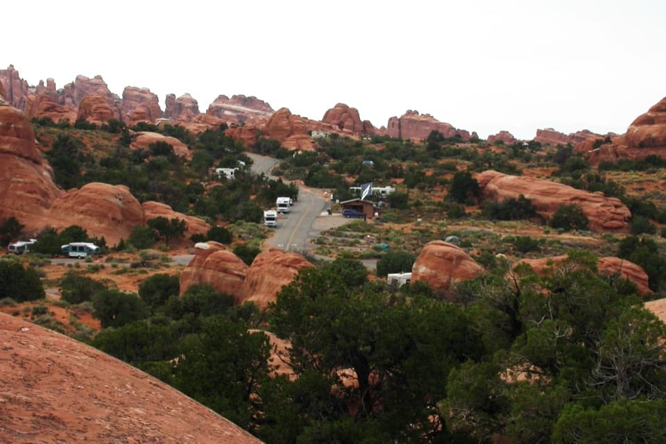
  • Devils Garden Campground and Tapestry Arch
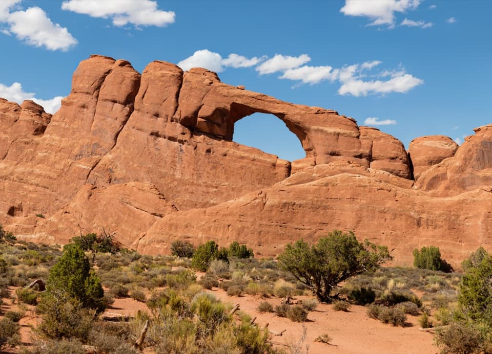
  • Skyline Arch
  • Ears That Shed Heat
  • Sand Dune Arch and Broken Arch
  • 35 audio storiesacross Arches’s roads, triggered by GPS as you drive
  • Wildlife heatmapsfor Bighorn Sheep, Pronghorn, Raven, and 13 more
  • Works offlinemaps, 28 trails, 41 places, and audio download before you lose signal
  • CarPlay readysimple controls built for the drive
★★★★★
“I can’t believe how helpful this app is and how interesting the information is for each highlight along the Arches Scenic Drive! This is the first park I’ve used it in.”
ThisismylifeniloveitApp Store review
Download Parkwolf on the App StoreGet Parkwolf on Google Play

4.7 from 8,600+ ratings

Trail guide

Hiking Devils Garden Trail

The full circuitDevils Garden Trail is a 7.

Devils Garden Trail is a 7.9-mile loop from Devils Garden Trailhead through sandstone fins and a string of arches, then back by the Primitive Trail. That full figure includes the named arch spurs and the Dark Angel spur. Allow about five hours for the complete route with stops; it takes longer if you linger at each arch. The easy start can make the hike look simpler than it is. If you want a shorter walk, Landscape Arch and back is 1.9 miles, while Double O Arch and back is 4.1 miles. Both use the same approach, so decide at Landscape Arch whether the rough upper route is for you.

Before Landscape ArchThe first stretch is hard-packed and relatively flat, with small rises but no significant…

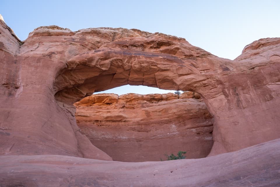
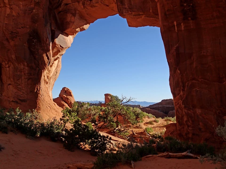
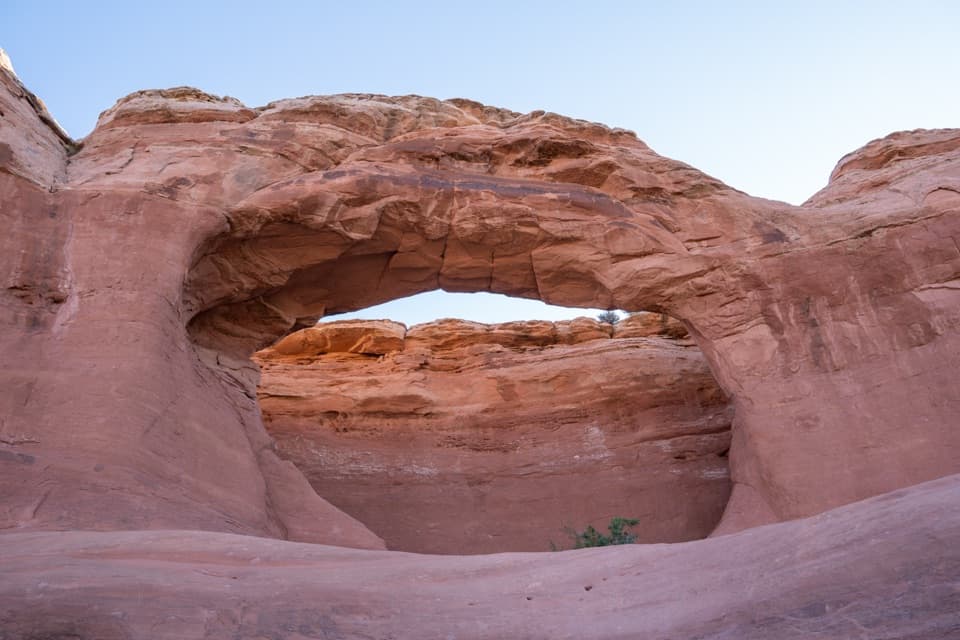
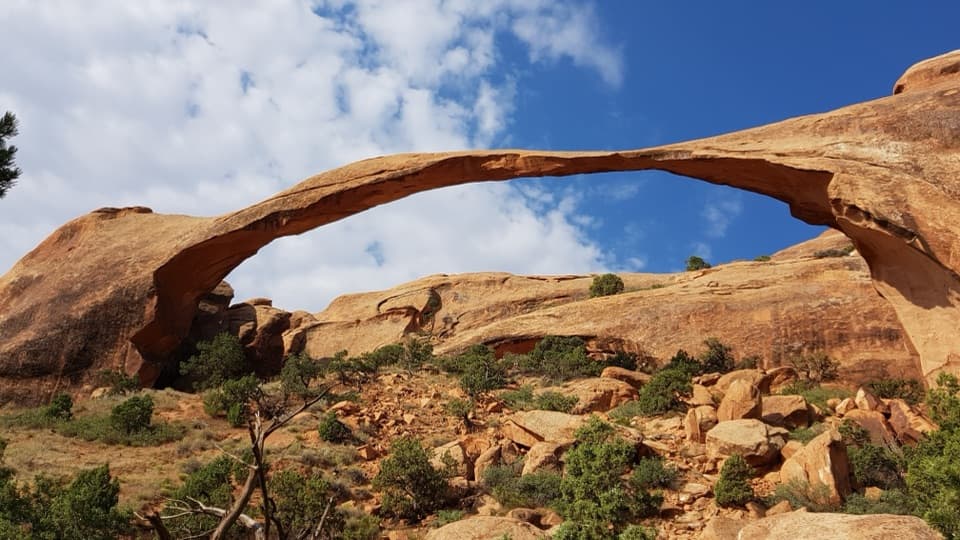
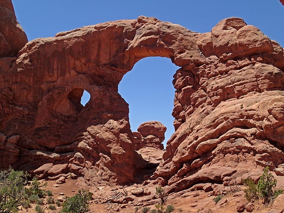
The first stretch is hard-packed and relatively flat, with small rises but no significant elevation gain. It winds through tall sandstone fins, with short spurs to Tunnel Arch and Pine Tree Arch before reaching Landscape Arch. The view is a good payoff for a relaxed walk: the opening spans 306 feet, yet the narrowest part of the rock is only about six feet across. Large sections fell away in the 1990s, a reminder that these formations keep changing. The two early arch spurs add about half a mile together.

The climb above the finsBeyond Landscape Arch, the trail becomes steep and rocky as it climbs over sandstone fins…

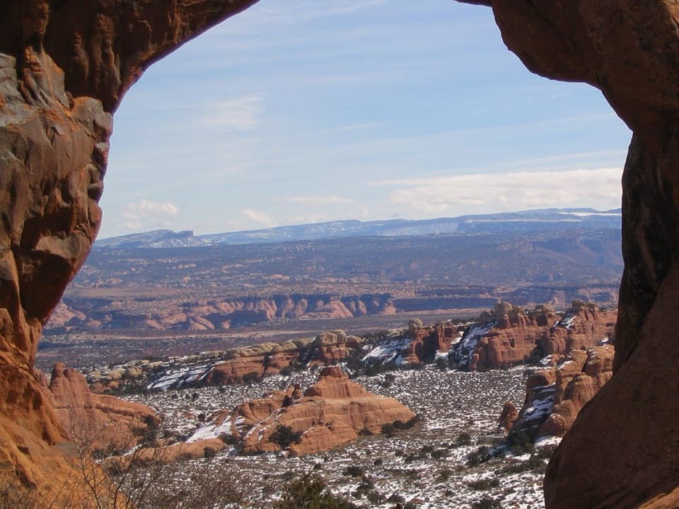
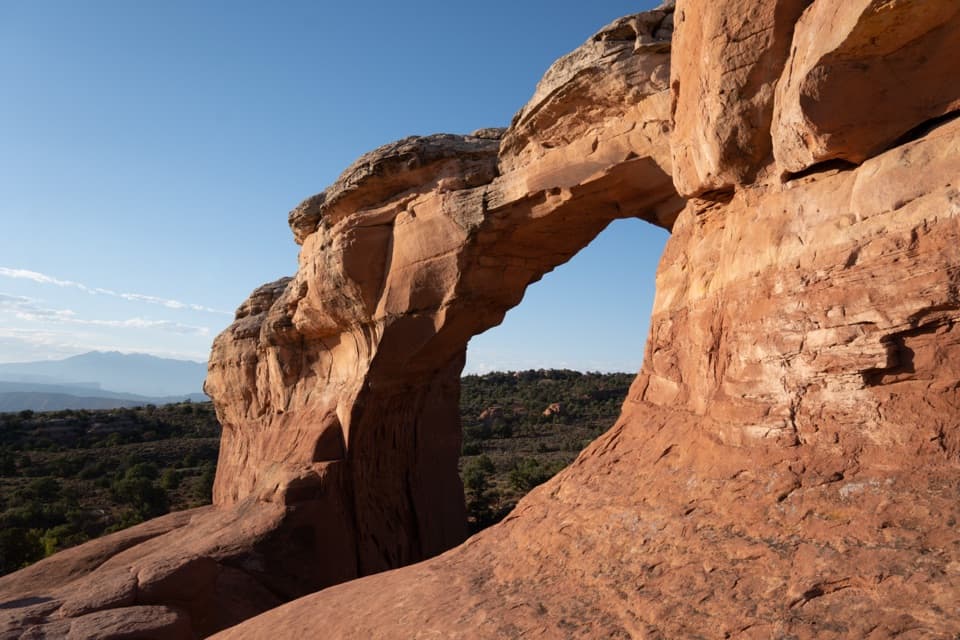
Beyond Landscape Arch, the trail becomes steep and rocky as it climbs over sandstone fins toward Double O. Expect narrow ledges above steep drop-offs and sections where you use both hands and feet. Navajo Arch and Partition Arch sit on short side trails along this upper stretch; both are worth the detour if you have the time and footing feels good. The exposed slickrock ridges give you the route’s broader views, but they are also where the height and scrambling start to matter. This is a poor choice if narrow edges make you freeze up.

Double O and Dark AngelDouble O Arch is the main decision point.

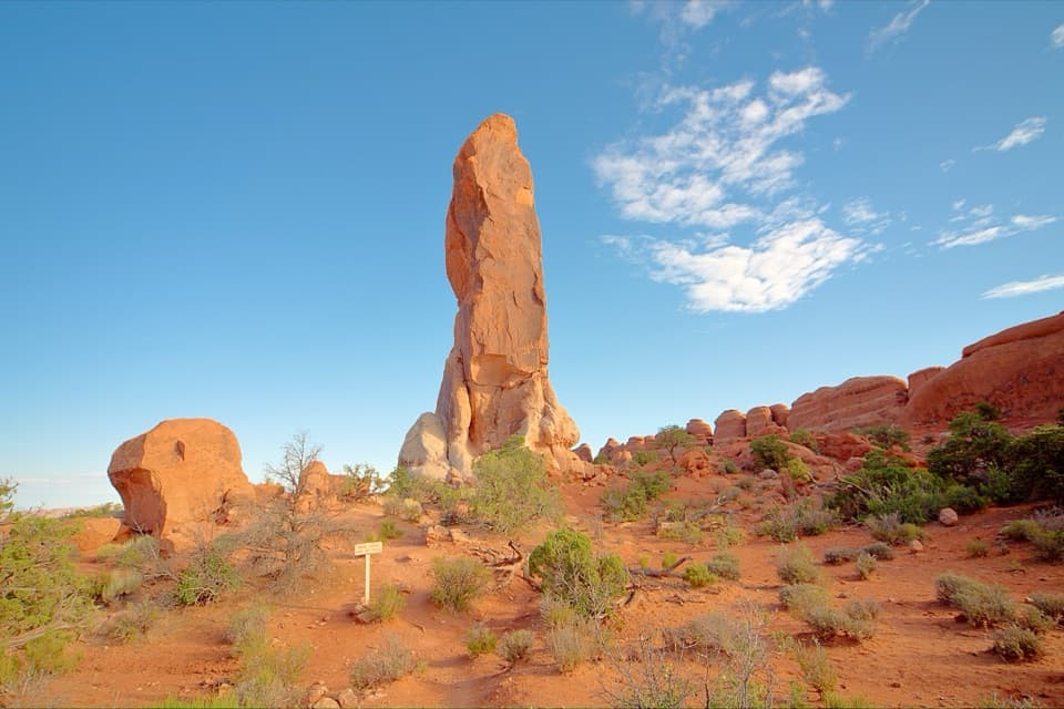
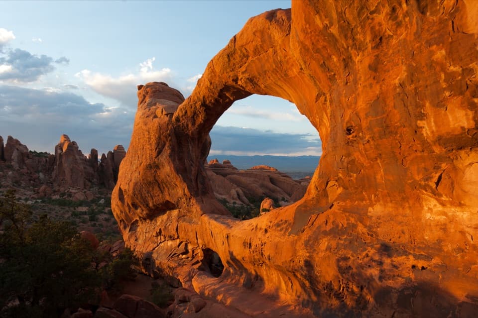
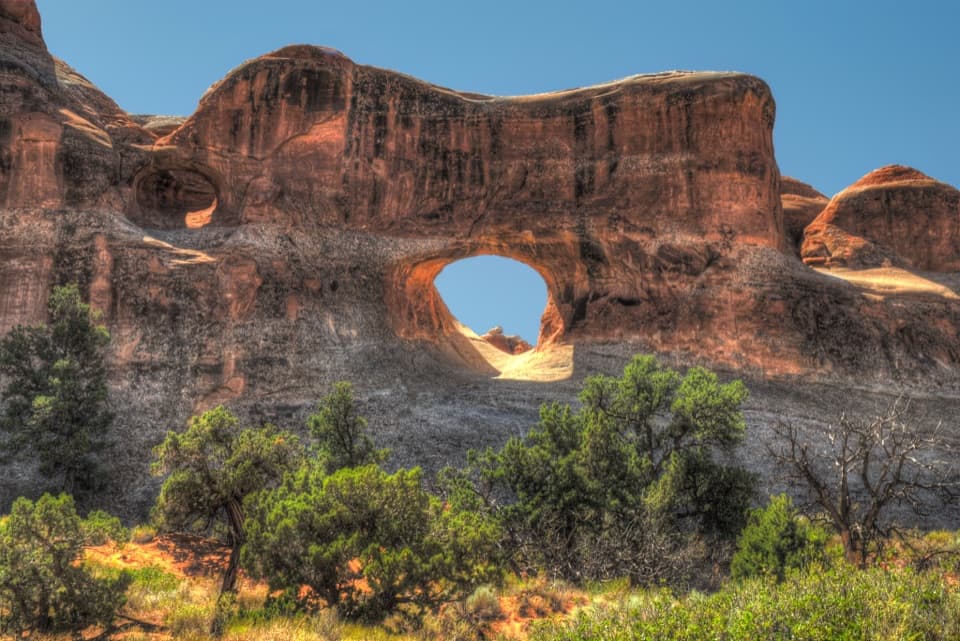
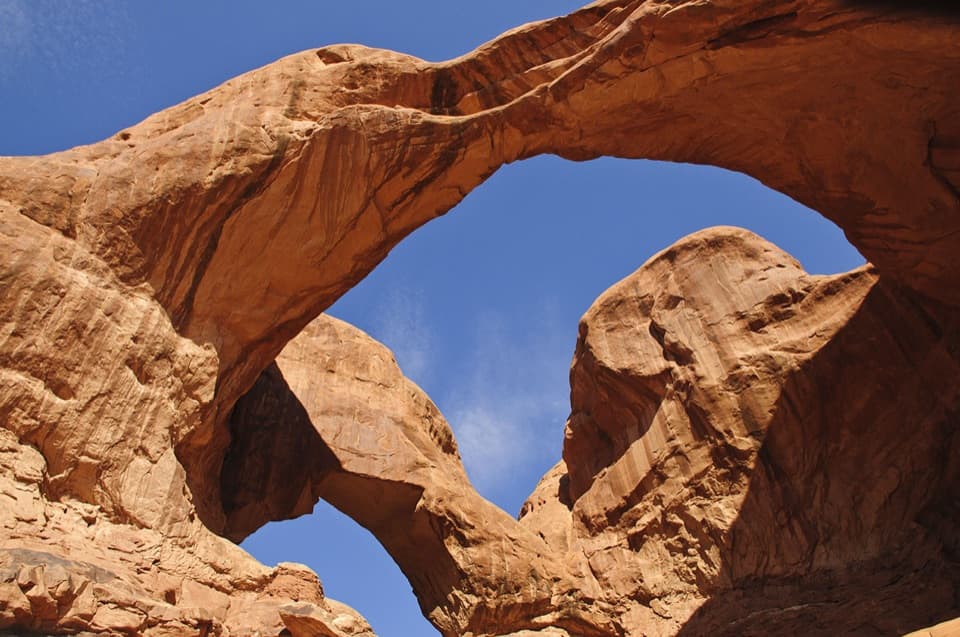
Double O Arch is the main decision point. Its two openings sit one above the other, and it marks the end of the 4.1-mile out-and-back option. A separate 0.8-mile round-trip spur continues north to Dark Angel, a tall dark sandstone spire rather than an arch. For the full circuit, continue around on the Primitive Trail instead of retracing the main route. Private Arch is a short out-and-back spur along that return, about 0.42 miles from the Double O and Primitive Trail junction.

The Primitive returnThis is the hardest part of the route: steep slopes, narrow drop-offs, hands-on scrambling and…

This is the hardest part of the route: steep slopes, narrow drop-offs, hands-on scrambling and more route-finding than the maintained approach. A pool on the Primitive Trail may hold water. Skip this section when the rock is wet or icy, and turn back if the exposure is already wearing you down. The side trip to Private Arch adds another rocky alcove to the day, but the return through desert terrain is quieter on formations and more demanding on navigation. Stay on the established path; the dark, bumpy soil crust beside it is a living layer that helps desert plants take hold.

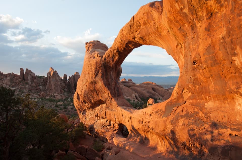
Making the day workStart at the Devils Garden Trailhead lot at the end of the park road, about 18 miles and a…

Start at the Devils Garden Trailhead lot at the end of the park road, about 18 miles and a 45-minute drive from the visitor center. The lot gets very busy during peak season and holiday weekends. Summer heat is a serious factor on exposed rock, so avoid the middle of the day and plan for enough water and food before leaving the trailhead. A picnic area sits south of the campground as a separate stop. Pets are not allowed on hiking trails in Arches; service animals are allowed.

Wildlife

Wildlife in Arches

All Arches wildlife maps

Sighting maps show where each species has been reported across Arches. Wildlife moves, so no sighting is guaranteed.

Keep exploring

Near Devils Garden Trail

See it all on the map

Trails that start nearby

Places near the trailhead

Parkwolf’s Arches ranking

Top-rated trails in Arches

All 28 trails
  1. 1Delicate Arch TrailChallenging · 3 mi
  2. 3Landscape Arch TrailEasy · 1.9 mi
  3. 4Fiery Furnace LoopChallenging · 1.2 mi
  4. 5Double O Arch TrailChallenging · 4.1 mi
  5. 6The Windows TrailEasy · 1 mi
  6. 7Double Arch Viewpoint and TrailEasy · 0.6 mi

Take Parkwolf to Arches.

The audio tour guide for the drive, plus offline maps, trails, and wildlife heatmaps for when the signal drops.

4.7 from 8,600+ ratings

Download Parkwolf on the App StoreGet Parkwolf on Google Play