Andrews Shelter Campsite in Arthur's Pass National Park

Campground · Arthur's Pass National Park

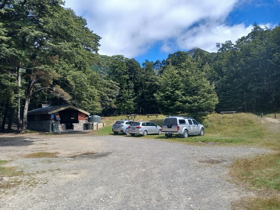
Andrews Shelter Campsite

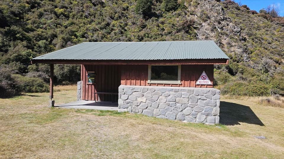
A riverside base for the Casey Hut tramp, with a basic shelter.

Photo: CC BY 4.0
Type
Campground
Nearest trail
Right here
Audio stories
2 nearby
  • Restrooms
  • Trailhead

Hear the audio tour

Andrews Shelter Campsite and Casey Hut

Overview

About Andrews Shelter Campsite

Why stop

  • The shelter gives campers a roof in bad weather.

Heads up

  • Sandflies can be rough near the river, and the gravel drive takes time.

Map

Where it is

Loading the Arthur's Pass map
Full map
CampgroundAndrews Shelter Campsite-42.99387, 171.79290
Keep this map with you offline in the Parkwolf app

Plan your stop

Before you go

2 active Arthur's Pass alerts

  • CautionFlood damage and rockfall risk on Harper Pass RouteFlood damage and an active slip affect the Harper Pass Route below Kiwi Hut and near Locke Stream Hut.Official details
  • CautionFlood damage on route to Sudden Valley BivvySignificant flood damage makes the route to Sudden Valley Bivvy passable only when rivers are low.Official details

Arthur's Pass alerts
A park ranger sits on a dash-mounted phone, talking, as Parkwolf’s Tour Guide plays “Army Cutworm Moths: A Grizzly Bear Buffet” on Grand Loop Road below Dunraven Pass in Yellowstone
Parkwolf Tour GuideThe highest, rockiest slopes around here are a summer buffet for grizzly bears.

Arthur's Pass Tour Guide

Your drive to Andrews Shelter Campsite, narrated.

Parkwolf is a GPS audio tour guide for Arthur's Pass National Park. As you drive, it chimes in with what’s ahead: hidden gems, upcoming stops, history, geology, and wildlife, right through your car’s speakers.

Recorded for this place

Andrews Shelter Campsite and Casey Hut
0:00 / 0:28
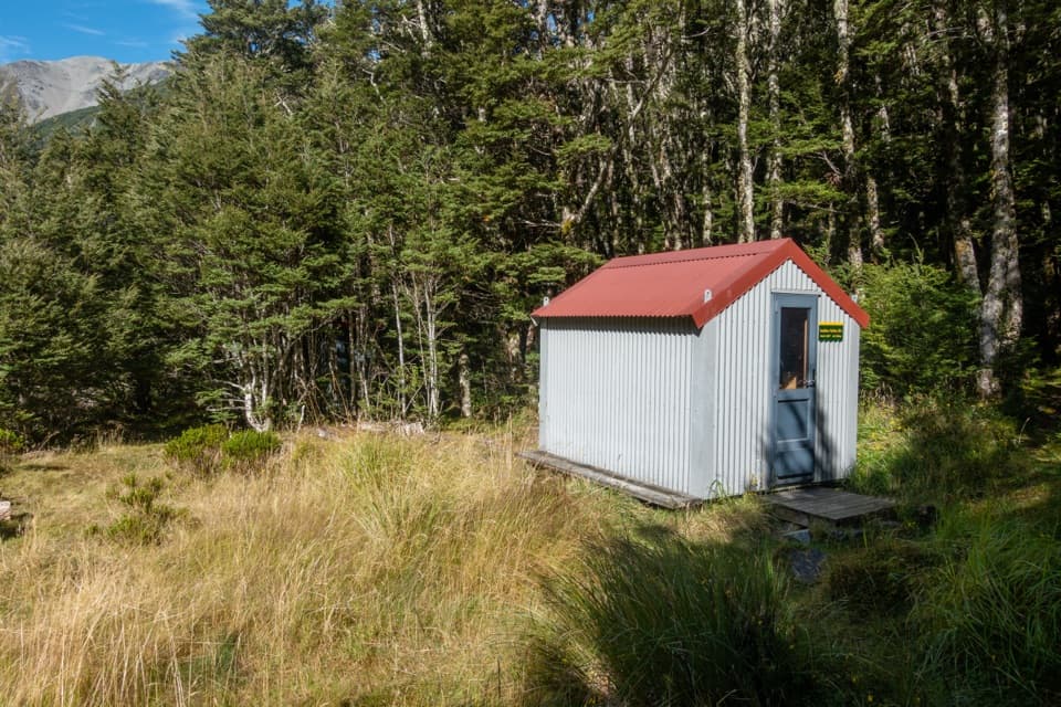
“You're coming up on Andrews Shelter Campsite, a simple overnight base on open river flats. There are twenty non-powered sites, taken first come, first served, and an enclosed shelter gives some cover from the weather.”

Plays as you drive up to Andrews Shelter Campsite in the Parkwolf Arthur's Pass Tour Guide.

More stories near here in the app

  • The Wrybill’s Sideways Beak
  • Hawdon Shelter and Woolshed Hill
  • A Duck Built for Rapids
  • The Bird with Almost No Tail
  • 42 audio storiesacross Arthur's Pass’s roads, triggered by GPS as you drive
  • Wildlife heatmapsfor Kea, New Zealand Falcon, Blue Duck, and 13 more
  • Works offlinemaps, 49 trails, 59 places, and audio download before you lose signal
  • CarPlay readysimple controls built for the drive
★★★★★
“Fantastic app with many points of information… It’s great to just turn on while you’re driving and it gives you an audio tour of the national Park. We love it!!!!”
JMJamesApp Store review
Download Parkwolf on the App StoreGet Parkwolf on Google Play

4.7 from 8,600+ ratings

Guide

More about Andrews Shelter Campsite

A quiet overnight baseAndrews Shelter Campsite is a basic campground with 20 non-powered sites beside the Waimakariri…

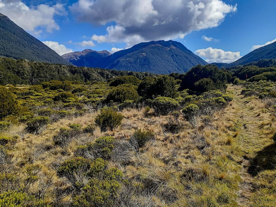
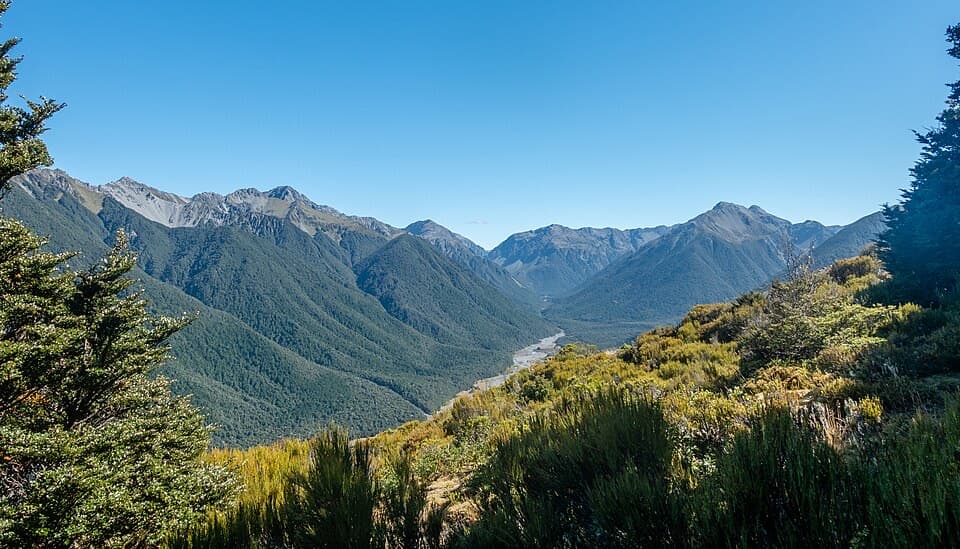
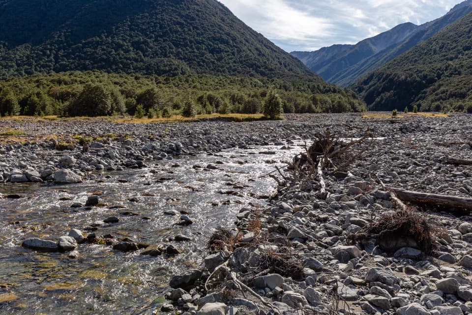
Andrews Shelter Campsite is a basic campground with 20 non-powered sites beside the Waimakariri River, on open flats in the Poulter valley. It works best as a simple overnight stop or as the start of the long Casey Hut tramp; expect a remote campsite, not a staffed campground. Campers often value the peaceful river setting, though trampers do pass through.

Getting inFrom SH 73, follow Mount White Road for 5 km to the campsite.

From SH 73, follow Mount White Road for 5 km to the campsite. That stretch is gravel and visitors say it can take a while; winter snow can make access difficult. Sites are first come, first served, with no booking required. Dogs aren't allowed. Bring food with you; there's no shop or food service at camp.

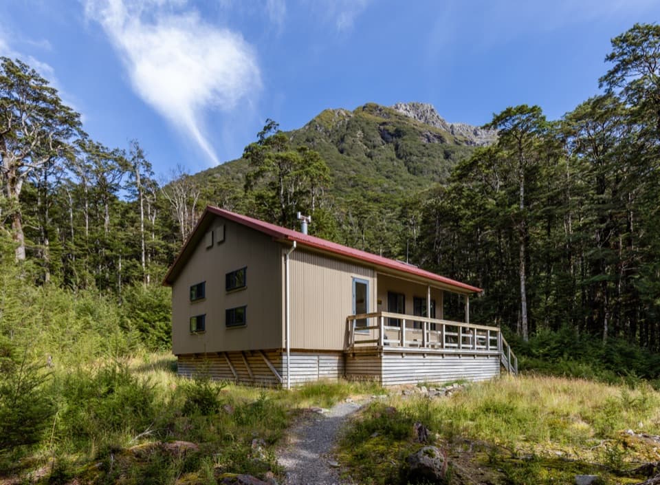
Shelter and suppliesA basic enclosed shelter gives you a roof and some cover from bad weather, and a pit toilet…

A basic enclosed shelter gives you a roof and some cover from bad weather, and a pit toilet serves the campground. There's no confirmed potable tap, so bring drinking water or treat anything you collect from a stream. Sandflies are a recurring nuisance near the river, so pack repellent.

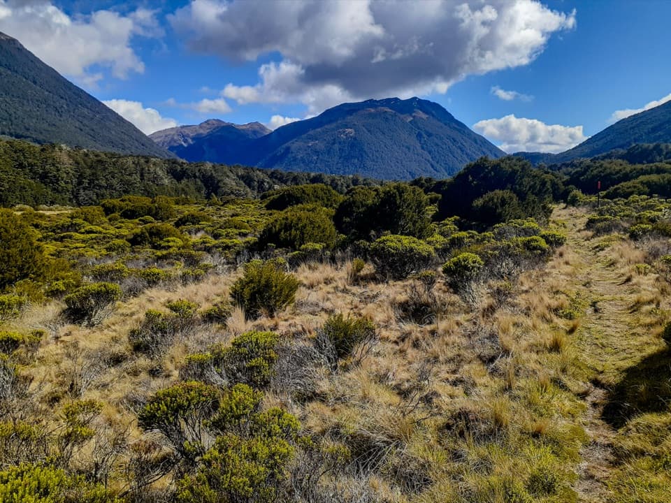
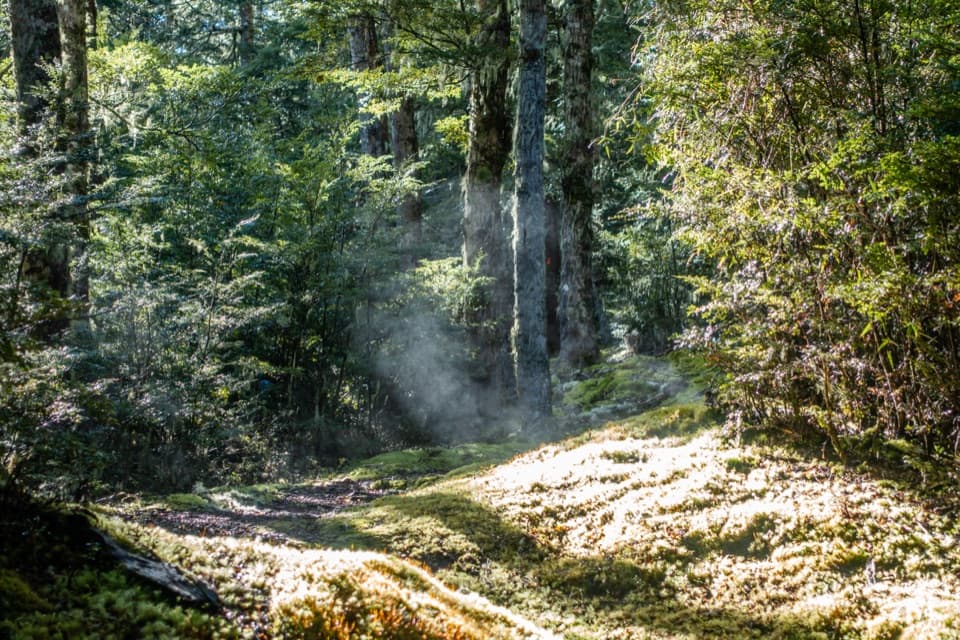
Start of the Casey Hut trampThe route starts near the shelter, crosses the river and climbs through open scrub into beech…

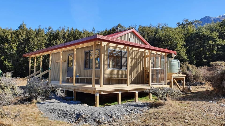
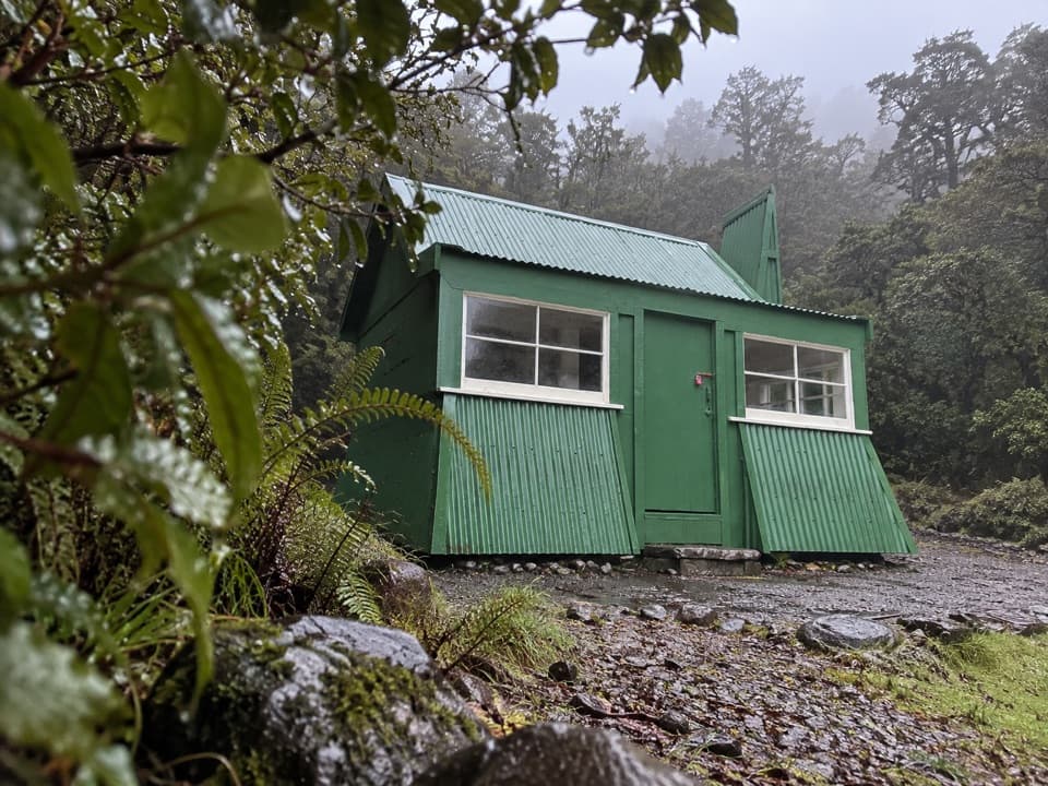
The route starts near the shelter, crosses the river and climbs through open scrub into beech forest. Allow 6–8 hours to reach the current Casey Hut, a long tramp rather than a short walk. The 12-bunk hut opened in 2020 after the original burned in 2015, at a new site above the Poulter River.

Wildlife

Wildlife in Arthur's Pass

All Arthur's Pass wildlife maps

Sighting maps show where each species has been reported across Arthur's Pass. Wildlife moves, so no sighting is guaranteed.

Parkwolf’s Arthur's Pass ranking

Top sights in Arthur's Pass

All 59 places
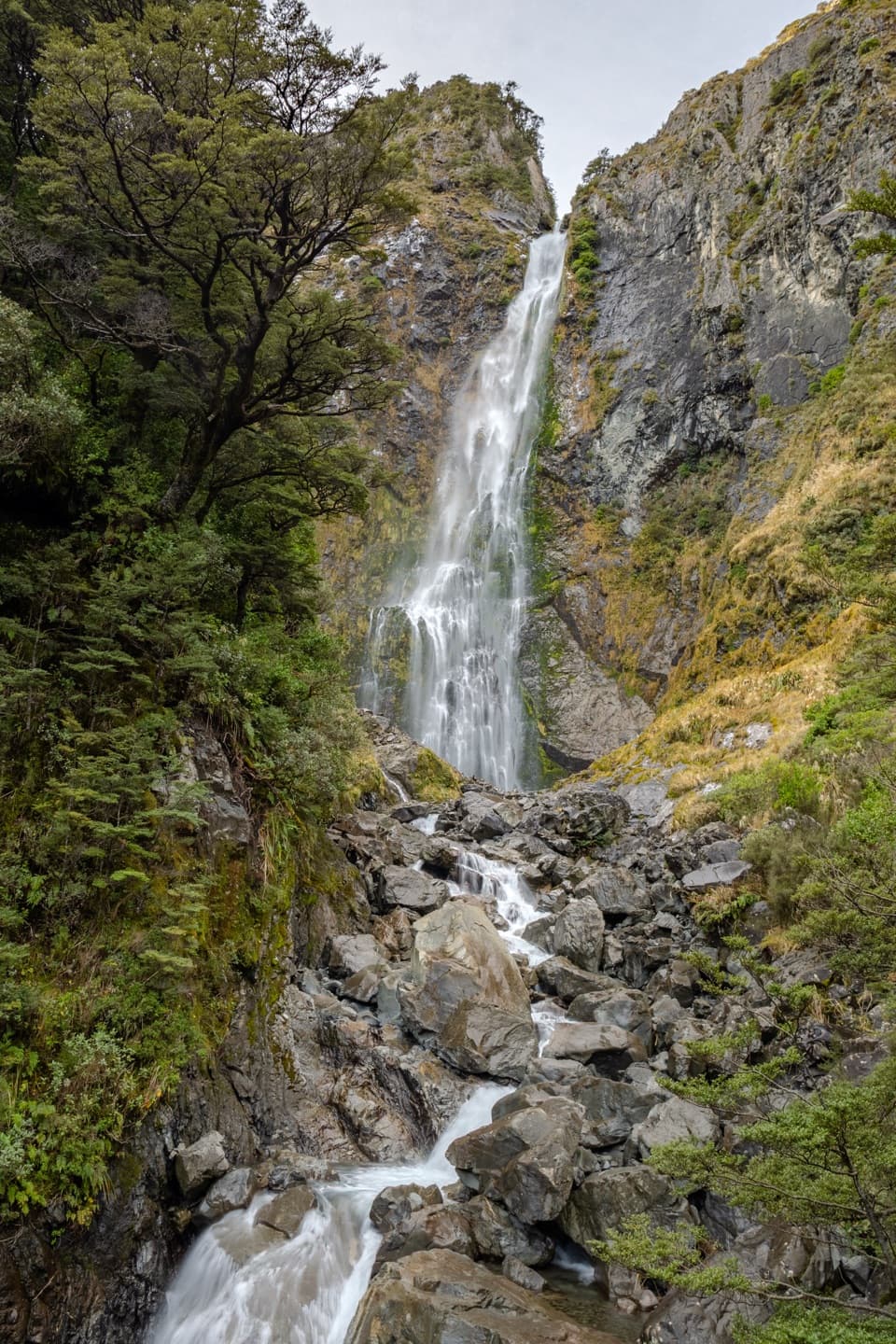
  1. 1Devils Punchbowl FallsSight
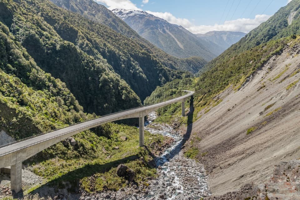
  2. 2Ōtira Viaduct LookoutSight
  3. 3Avalanche PeakSight
  4. 4Jacks HutSight
  5. 5Arthur’s Pass ChapelSight
  6. 6Ōtira Gorge Rock Shelter LookoutSight

Take Parkwolf to Arthur's Pass.

The audio tour guide for the drive, plus offline maps, trails, and wildlife heatmaps for when the signal drops.

4.7 from 8,600+ ratings

Download Parkwolf on the App StoreGet Parkwolf on Google Play