Parking
Start at Hawdon Shelter Campsite on Mt White Road; the walking track begins from the campground access.
Arthur's Pass National Park, CB · WC
A backcountry hut walk with a string of river fords.
Overview
Map & elevation
Plan your hike

The highest, rockiest slopes around here are a summer buffet for grizzly bears.
Arthur's Pass Tour Guide
Parkwolf is a GPS audio tour guide for Arthur's Pass National Park. As you drive, it chimes in with what’s ahead: hidden gems, upcoming stops, history, geology, and wildlife, right through your car’s speakers.
Recorded for this trailhead
Hawdon Shelter and Woolshed Hill“Hawdon Shelter Campsite is ahead, on broad grassy flats edged by beech forest and mountain slopes.”
Plays as you drive up to this trailhead in the Parkwolf Arthur's Pass Tour Guide.
More stories near here in the app
“Fantastic app with many points of information… It’s great to just turn on while you’re driving and it gives you an audio tour of the national Park. We love it!!!!”


Trail guide
Hawdon Hut Track is an 18 km out-and-back from Hawdon Shelter Campsite to Hawdon Hut, with the same track walked back to the start. Allow 6–8 hours for the walking. This is an advanced tramping route and a full-day commitment; a night at the hut gives you time to enjoy the upper valley without hurrying the return. The route moves from open river flats into forest and back again, with the hut tucked above the river near the head of the valley. Repeated unbridged fords are the main test, more than a steep sustained climb.
From the campsite, follow the track for about 50 m and cross the Hawdon River. This first ford is the easiest of the crossings. If it is not safe, turn back: water levels can rise quickly farther up the valley too. Do not attempt the route during or after heavy rain. A passable first crossing does not guarantee that every later one will be safe, so keep reassessing the water as you go.
After a stock fence and the rocky Sudden Valley Stream, the route enters forest for about 3 km. It then returns to the riverbed for another Hawdon crossing and follows a marked four-wheel-drive track toward East Hawdon. After crossing that stream, the route crosses the main river again about 1 km farther upstream. The remaining walk alternates between forest and short stretches of stony riverbed. Discovery Stream is the last named ford, about 200 m before the hut. Rounded stones and shifting channels make footing slow, and the number of shallow threads can vary; leave enough time to choose each crossing carefully.
Use the orange track markers to stay on the public route. Other colored markers and tape belong to staff access and trapline routes; they can lead away from the walking track. The route is not a single continuous forest path: expect open river flats, bouldery stream margins, and marked vehicle track between the crossings. Keep your attention on the route at the river junctions, where a line through the wrong channel or marker corridor can make the approach less clear.
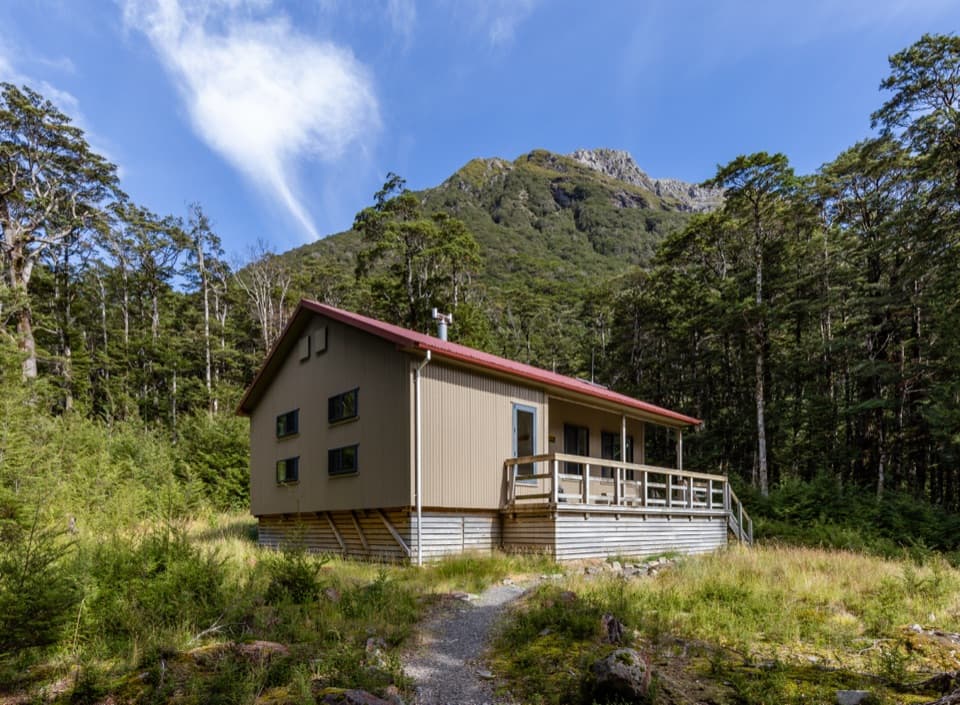
Hawdon Hut sits on a forested bank above the river, with views toward the head of the valley, Rugged Peak, and Trudge Col. From the hut terrace, frame the riverbank below with the upper valley behind it to show how the building sits above the water. The serviced hut has 20 bunks, a non-flush toilet, untreated tap water that must be boiled, and a log burner. Bring your own cooker and utensils; there is no food service. Book a bunk before planning to stay overnight.
The Hawdon Valley is one of only five known wild locations for the critically endangered orange-fronted parakeet, or kākāriki karaka. Predator control supports the valley’s threatened birds, and yellow-fronted parakeet (kākāriki kōwhai) is more commonly seen here. Keep to the public track and do not follow staff trapline markers into sensitive areas. The valley’s conservation story adds another reason to move carefully through the forest and river flats.
Wildlife
 982 sightingsKeaMost seen around noonSighting map
 39 sightingsNew Zealand FalconMost seen around 5 PMSighting map
 190 sightingsBlue DuckMost seen around 5 PMSighting map
 20 sightingsKākāMost seen around 8 AMSighting map
 15 sightingsWekaMost seen around 7 AMSighting map
 15 sightingsParadise ShelduckMost seen around 6 PMSighting map
Sighting maps show where each species has been reported across Arthur's Pass. Wildlife moves, so no sighting is guaranteed.
Keep exploring
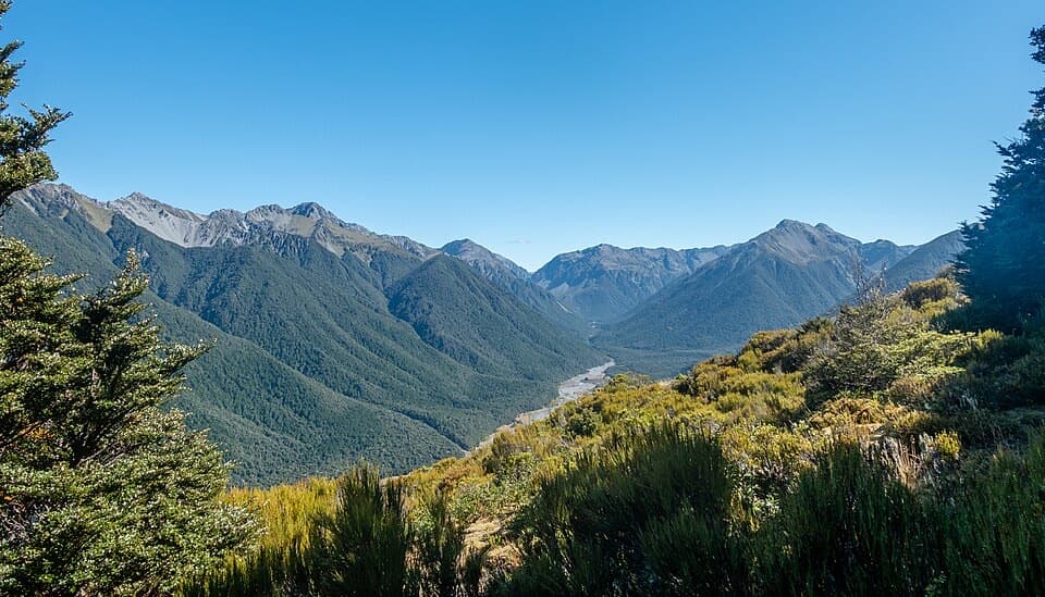 ChallengingWoolshed Hill Track5.1 km · 3 hr · At the trailheadA steep bushline climb for Hawdon Valley and Waimakariri views.
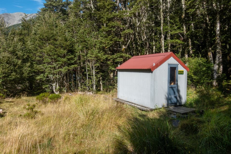 ChallengingSudden Valley Bivvy Route12.9 km · 5.5 hr · At the trailheadA rough river route to a tucked-away two-bunk bivvy.
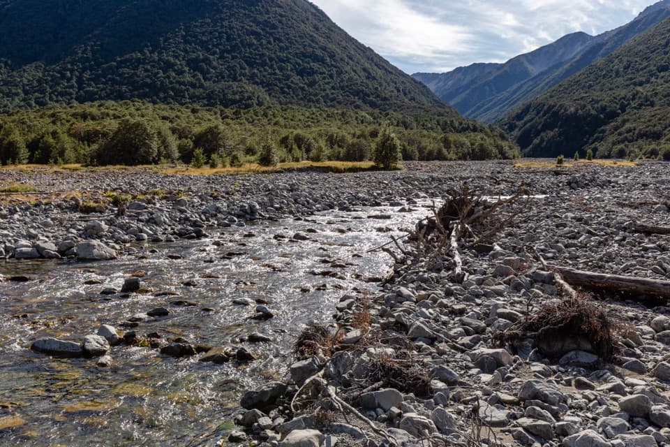 ChallengingEast Hawdon Bivvy Route22 km · 10 hr · At the trailheadA remote, unmarked river route to East Hawdon Bivvy.
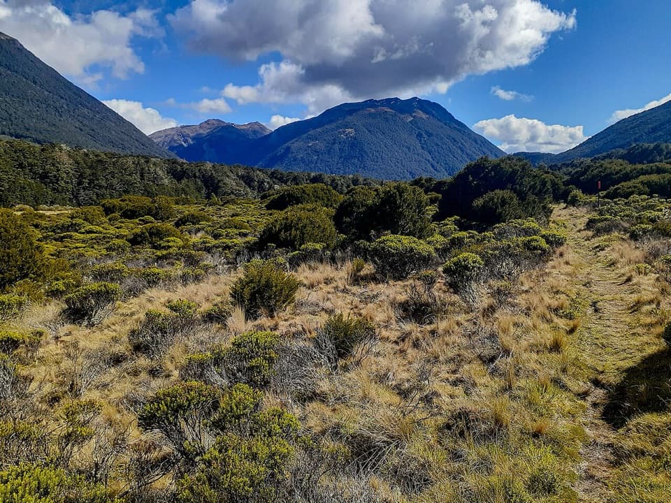 ChallengingCasey Hut via Andrews Track31.8 km · 14 hr · 3.7 km awayA two-day hut tramp over a broad tussock saddle.
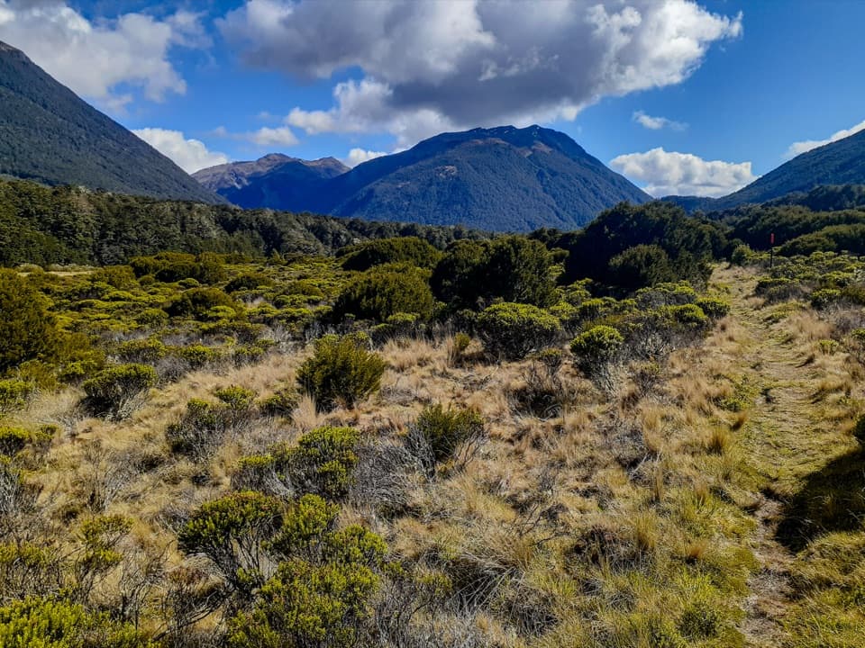 ChallengingCasey Saddle – Binser Saddle Route39.1 km · 16 hr · 3.7 km awayTwo days across tussock saddles, remote flats and the Poulter valley.
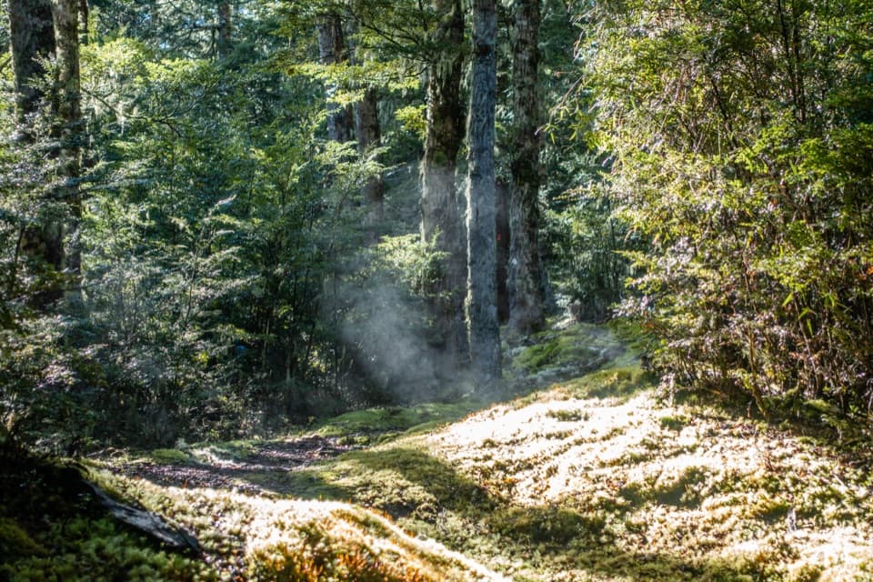 ChallengingBinser Saddle Track9 km · 7 hr · 5.2 km awayA steep beech-forest climb to a grassy saddle.
 ModerateBealey Spur Track12 km · 4.5 hr · 10.7 km awayA steady hut walk with wide Waimakariri Valley views
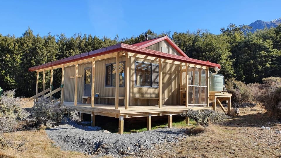 ChallengingPoulter River Track20 km · 8 hr · 10.9 km awayA 20 km shared-use river track to a remote hut
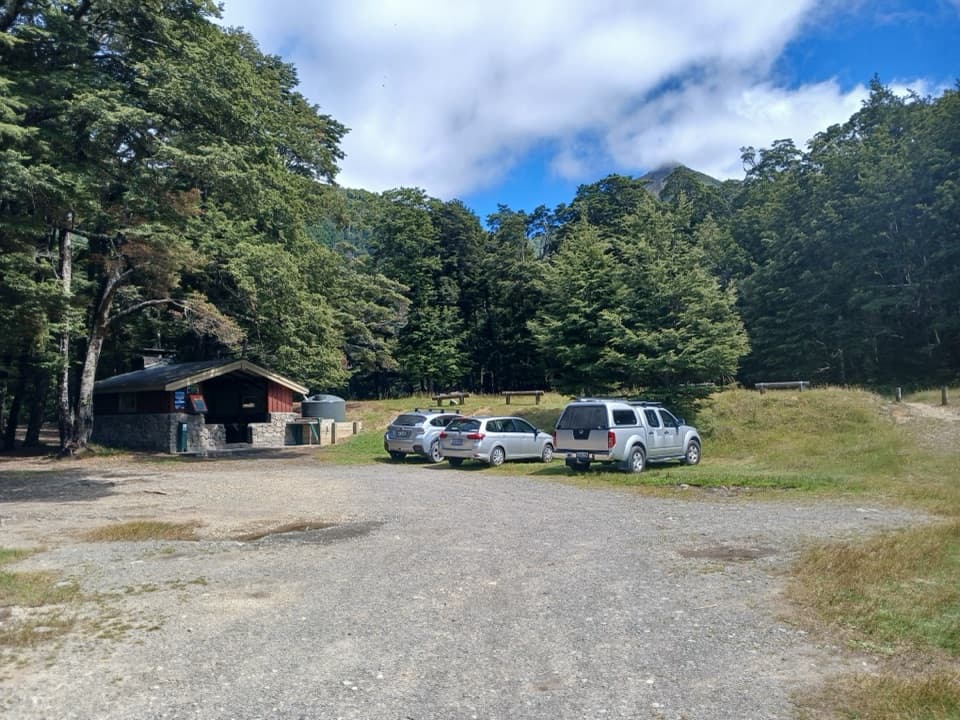 Campground · At the trailheadHawdon Shelter CampsiteThirty tent sites on broad alpine flats, with a cooking shelter.
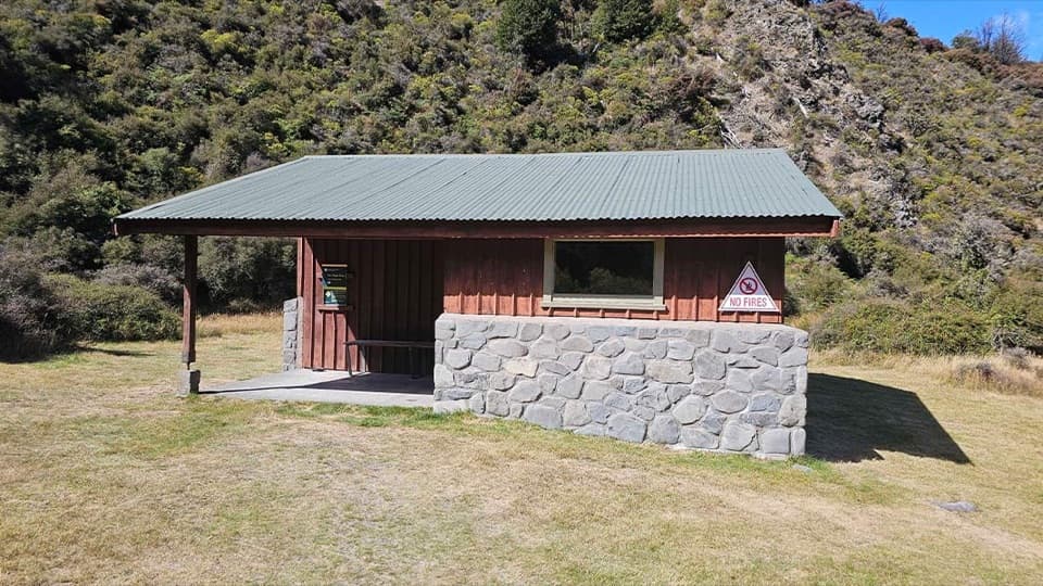 Campground · 3.7 km awayAndrews Shelter CampsiteA riverside base for the Casey Hut tramp, with a basic shelter.Lodging · 5.5 km awaySudden Valley BivvyA two-bunk refuge reached only by a serious river route.Lodging · 8.6 km awayHawdon HutA roomy 20-bunk hut at the end of a river-crossing test.
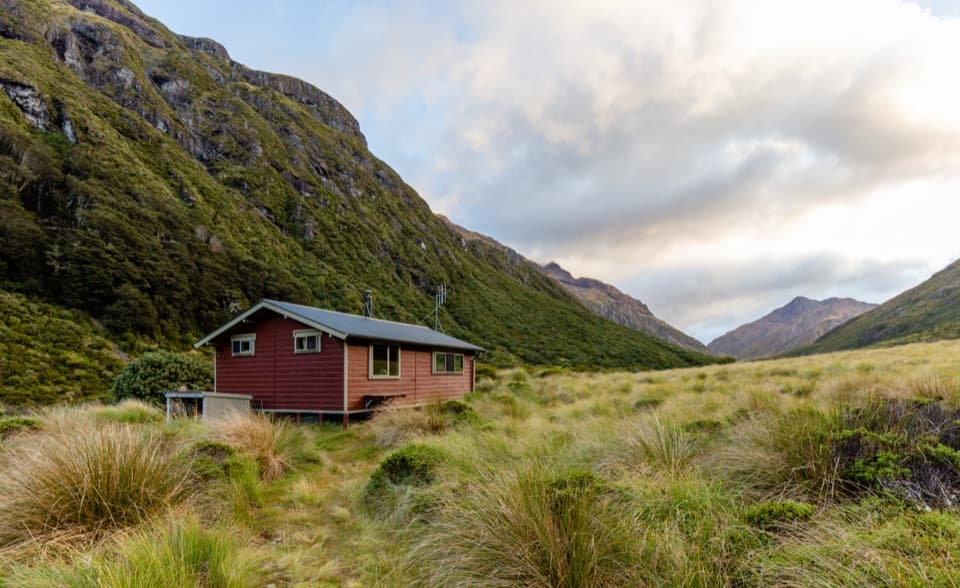 Lodging · 9.6 km awayEdwards HutA wood burner and red tussock flats reward a rough valley walk.
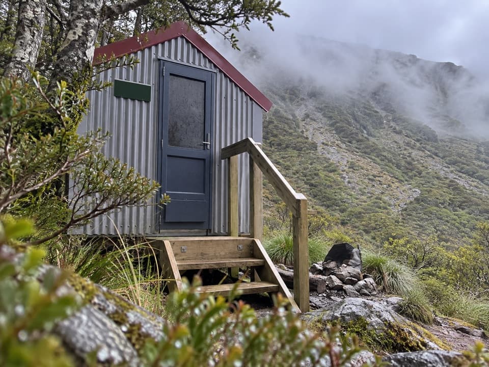 Lodging · 10 km awayEast Hawdon BivvyA free two-bunk bivvy for a long, off-track Hawdon Valley trip.
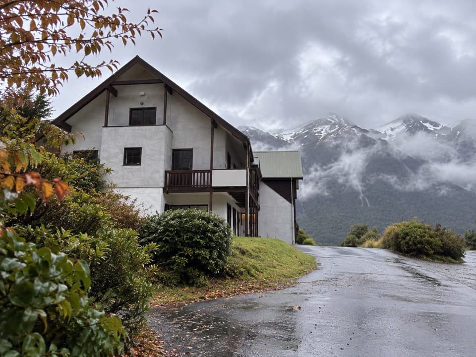 Lodging · 11.8 km awayThe Bealey HotelA mountain-view stay with a gold-rush coach-road story.
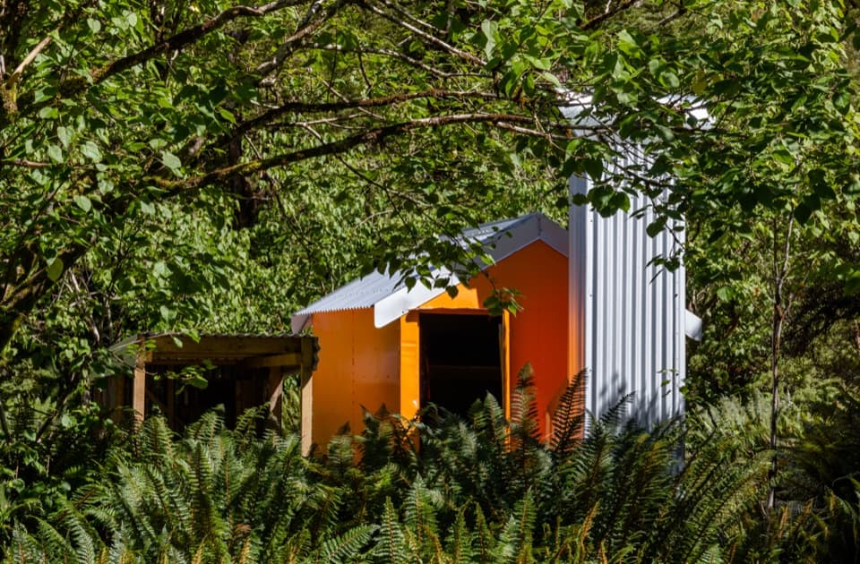 Lodging · 12 km awayMingha BivvyA free two-bunk hut reached by river crossings and a climb.
Parkwolf’s Arthur's Pass ranking

The audio tour guide for the drive, plus offline maps, trails, and wildlife heatmaps for when the signal drops.




