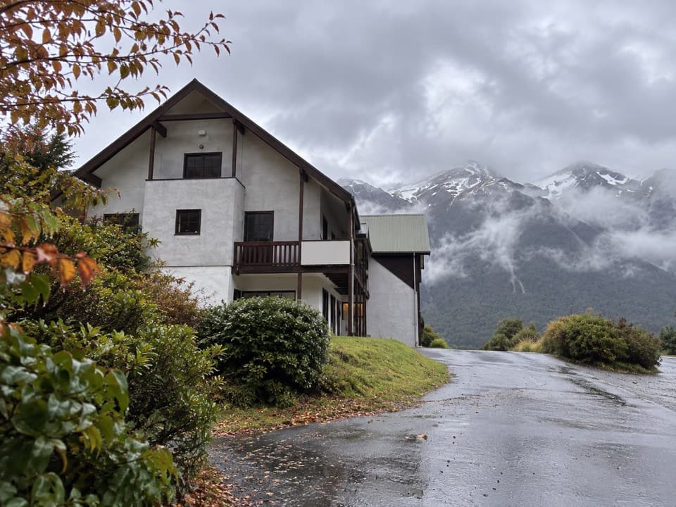
Casey Saddle – Binser Saddle Route in Arthur's Pass National Park

Arthur's Pass National Park, CB · WC

Casey Saddle – Binser Saddle Route

Two days across tussock saddles, remote flats and the Poulter valley.

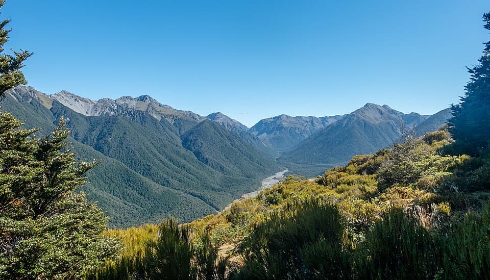
Photo: Wikimedia Commons
Length
39.1km
Time
16hr
Elev. change
581m
Difficulty
Challenging
  • Loop
  • No dogs
  • High point 1,087 m
  • #17 of 49 in Arthur's Pass

Hear the audio tour

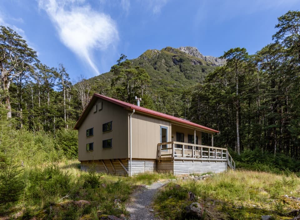
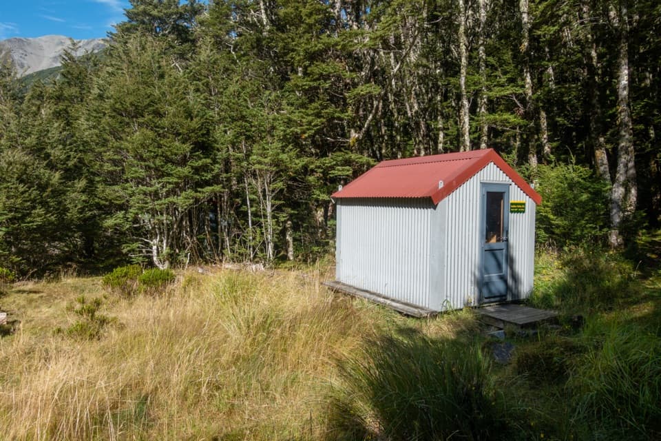
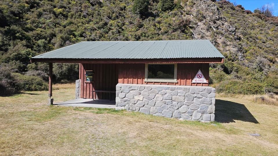
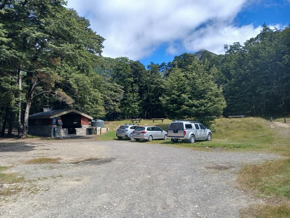
Andrews Shelter Campsite and Casey Hut

Overview

About Casey Saddle – Binser Saddle Route

Why go

  • A genuine two-day circuit with forest, open saddles and broad river terraces.
  • Casey Hut makes a long remote crossing possible without backtracking.

Heads up

  • Long walking days with unbridged crossings and lightly marked sections.
  • The steep 600 m climb over Binser Saddle comes late in the second day.

Map & elevation

The route

Loading the Arthur's Pass map
Full map
Elevation506–1,087 m
TrailheadAndrews Shelter – Andrews Track entrance-42.99298, 171.79336
Keep this map with you offline in the Parkwolf app

Plan your hike

Before you go

Parking

Start at Andrews Shelter on Mount White Road, 24 km east of Arthur’s Pass village off SH73. The marked Andrews Track begins just upstream of the bridge. The loop closes with about a 30-minute walk along Mount White Road between the track ends.

Best time to go

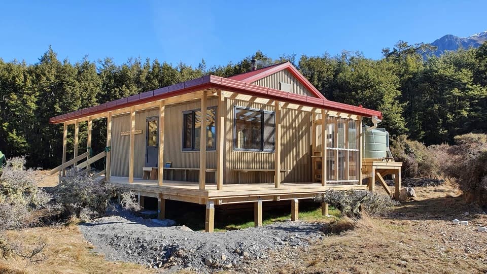
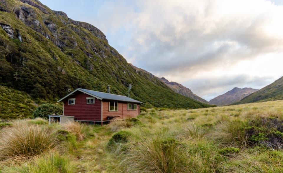
Casey Hut has 12 bunks, mattresses, heating, a toilet and untreated tap water that must be boiled; book it in advance. Pets are not allowed in the national park. The route crosses avalanche terrain, with avalanche activity most common from May to November; wasps are most numerous from January to March. Unbridged rivers and side streams can become dangerous after rain, and route-finding is harder where the track crosses open ground.

Safety

Advanced backcountry route with unbridged rivers and side-stream crossings; these can be dangerous after rain. Route-finding is subtle on open terraces and at the Pete Stream turnoff. The Binser Saddle climb is steep and gains about 600 m. Avalanche terrain is present, with avalanche activity most common May–November; wasps peak January–March. Boil Casey Hut’s untreated tap water.

2 active Arthur's Pass alerts

  • CautionFlood damage and rockfall risk on Harper Pass RouteFlood damage and an active slip affect the Harper Pass Route below Kiwi Hut and near Locke Stream Hut.Official details
  • CautionFlood damage on route to Sudden Valley BivvySignificant flood damage makes the route to Sudden Valley Bivvy passable only when rivers are low.Official details
Arthur's Pass alerts
A park ranger sits on a dash-mounted phone, talking, as Parkwolf’s Tour Guide plays “Army Cutworm Moths: A Grizzly Bear Buffet” on Grand Loop Road below Dunraven Pass in Yellowstone
Parkwolf Tour GuideThe highest, rockiest slopes around here are a summer buffet for grizzly bears.

Arthur's Pass Tour Guide

Your drive to Casey Saddle – Binser Saddle Route, narrated.

Parkwolf is a GPS audio tour guide for Arthur's Pass National Park. As you drive, it chimes in with what’s ahead: hidden gems, upcoming stops, history, geology, and wildlife, right through your car’s speakers.

Recorded for this trailhead

Andrews Shelter Campsite and Casey Hut
0:00 / 0:28
“You're coming up on Andrews Shelter Campsite, a simple overnight base on open river flats. There are twenty non-powered sites, taken first come, first served, and an enclosed shelter gives some cover from the weather.”

Plays as you drive up to this trailhead in the Parkwolf Arthur's Pass Tour Guide.

More stories near here in the app

  • The Wrybill’s Sideways Beak
  • Hawdon Shelter and Woolshed Hill
  • A Duck Built for Rapids
  • The Bird with Almost No Tail
  • 42 audio storiesacross Arthur's Pass’s roads, triggered by GPS as you drive
  • Wildlife heatmapsfor Kea, New Zealand Falcon, Blue Duck, and 13 more
  • Works offlinemaps, 49 trails, 59 places, and audio download before you lose signal
  • CarPlay readysimple controls built for the drive
★★★★★
“Fantastic app with many points of information… It’s great to just turn on while you’re driving and it gives you an audio tour of the national Park. We love it!!!!”
JMJamesApp Store review
Download Parkwolf on the App StoreGet Parkwolf on Google Play

4.7 from 8,600+ ratings

Trail guide

Hiking Casey Saddle – Binser Saddle Route

The full loopThis two-day loop is about 39 km (24.

This two-day loop is about 39 km (24.3 miles), including the roughly 30-minute walk along Mount White Road between its track ends. Allow 7–8 hours from Andrews Shelter to Casey Hut, then another 8–9 hours to return through the Poulter valley and over Binser Saddle. Expect about 15–17 hours of walking in all. It is a serious backcountry trip for fit trampers who can navigate lightly marked sections and cross unbridged rivers.

Up to Casey HutThe Andrews Track starts just upstream of the shelter bridge and climbs steeply through scrub…

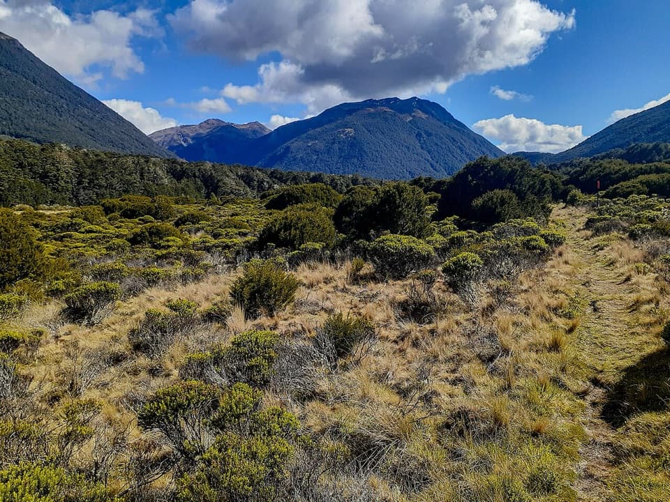
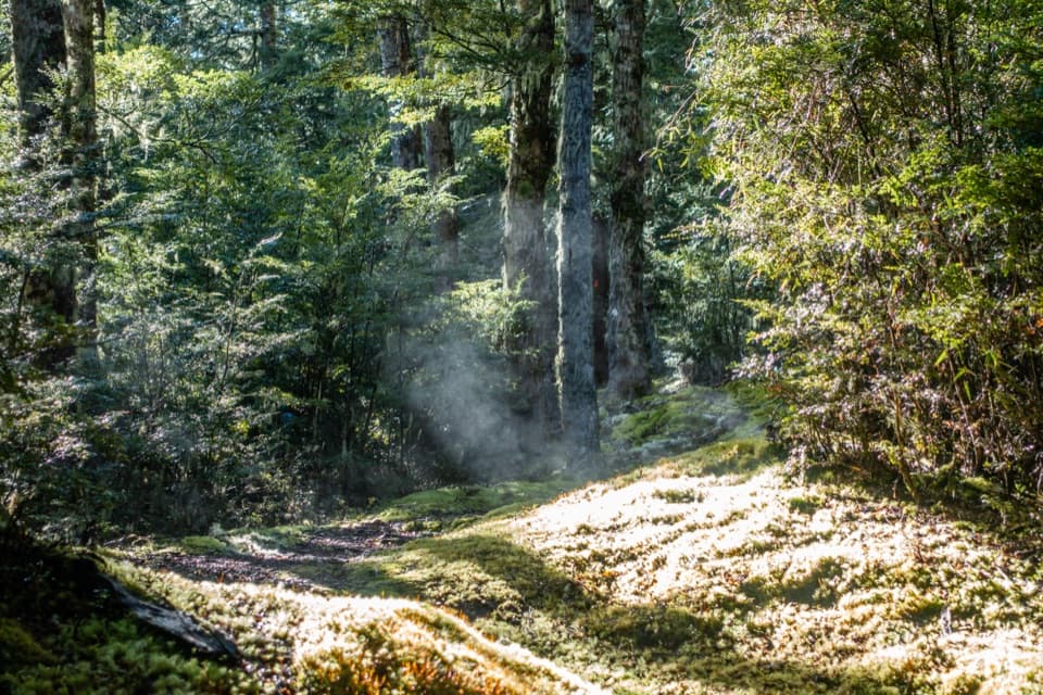
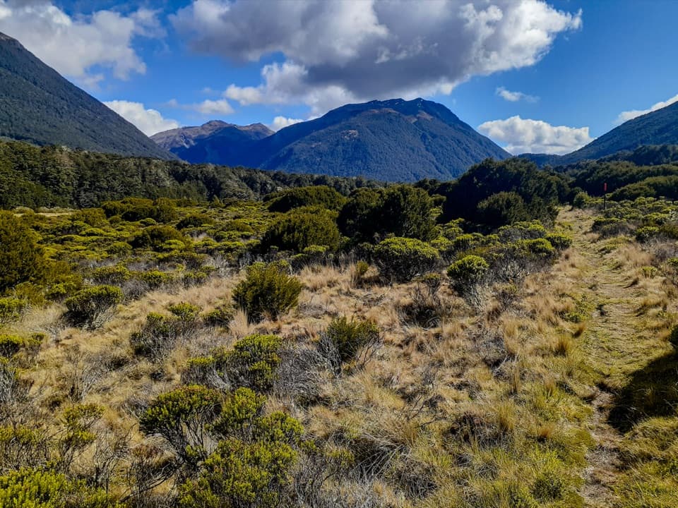
The Andrews Track starts just upstream of the shelter bridge and climbs steeply through scrub into mountain beech forest. Frequent side creeks lead to Hallelujah Flat, where the route opens into tussock and low shrubs across Casey Saddle. From the saddle it drops toward Surprise Stream, then climbs back into forest before reaching Casey Hut on a terrace above the Poulter River. The current hut opened in 2020 at a new site; older route descriptions may take you to the former hut location.

Along the PoulterFrom the hut, follow the old vehicle track south through open tussock, matagouri and mānuka,…

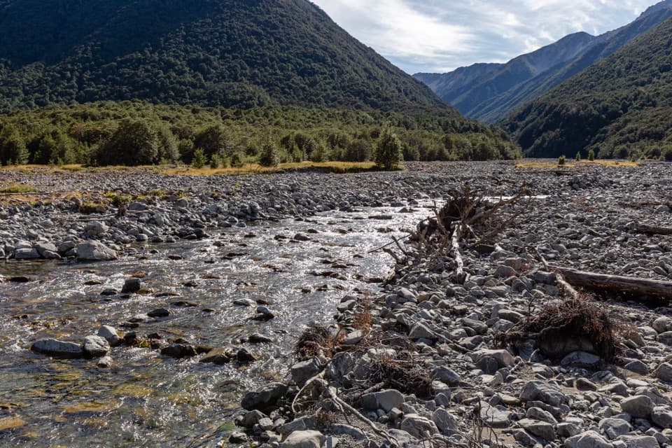
From the hut, follow the old vehicle track south through open tussock, matagouri and mānuka, with beech forest on the surrounding ranges. The wide river valley gives long views toward Mt Morrison and Peveril Peak. A severe storm in 1981 flattened large stretches of the forest on the Poulter Range, and the damaged canopy is still part of the view. Near Cleland Stream, a conspicuous slip records the 1929 earthquake that split Falling Mountain. Poplars beside the track mark the old Minchin homestead site. The tread can fade across open flats and gravel creek beds, so pay attention to route markers.

Over Binser SaddleAt Pete Stream, watch for the turn onto the track climbing the terraces on the true right; it…

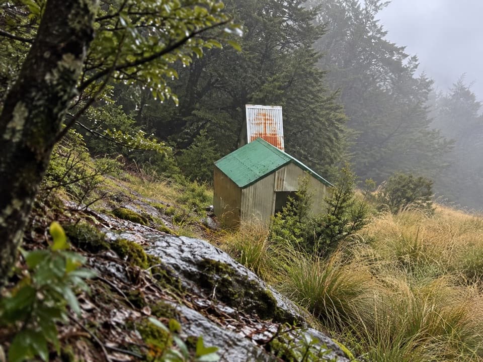
At Pete Stream, watch for the turn onto the track climbing the terraces on the true right; it is easy to miss. The climb is steep and gains about 600 m from the valley floor, first through low mānuka and then mountain beech. Windthrow can obscure parts of the route near the saddle. After crossing it, descend through storm-damaged forest to the Waimakariri flats, then walk the Mount White Road link back to Andrews Shelter.

Wildlife

Wildlife in Arthur's Pass

All Arthur's Pass wildlife maps

Sighting maps show where each species has been reported across Arthur's Pass. Wildlife moves, so no sighting is guaranteed.

Keep exploring

Near Casey Saddle – Binser Saddle Route

See it all on the map

Trails that start nearby

Places near the trailhead

Parkwolf’s Arthur's Pass ranking

Top-rated trails in Arthur's Pass

All 49 trails
  1. 1Devils Punchbowl Walking TrackModerate · 2 km
  2. 2Avalanche Peak RouteChallenging · 6.8 km
  3. 3Bealey Spur TrackModerate · 12 km
  4. 4Arthur’s Pass Walking TrackModerate · 6.8 km
  5. 5Otira Valley TrackModerate · 3.4 km
  6. 6Scotts Track to Avalanche PeakChallenging · 7.1 km

Take Parkwolf to Arthur's Pass.

The audio tour guide for the drive, plus offline maps, trails, and wildlife heatmaps for when the signal drops.

4.7 from 8,600+ ratings

Download Parkwolf on the App StoreGet Parkwolf on Google Play