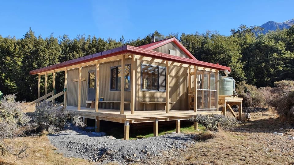
Poulter River Track in Arthur's Pass National Park

Arthur's Pass National Park, CB · WC

Poulter River Track

A 20 km shared-use river track to a remote hut

Photo: CC BY 4.0
Length
20km
Time
8hr
Elev. change
136m
Difficulty
Challenging
  • No dogs
  • High point 640 m
Parkwolf audio tour42 stories across Arthur's Pass’s roads

Overview

About Poulter River Track

Why go

  • Open river-terrace scenery with two distinctive backcountry hut stops
  • A clear valley route for a long point-to-point trip

Heads up

  • 20 km one way; retracing makes it a 40 km commitment
  • Long stretches use shared 4WD track rather than varied single-track

Map & elevation

The route

Loading the Arthur's Pass map
Full map
Elevation504–640 m
TrailheadPoulter River access on Mt White Road-42.99587, 171.88185
Keep this map with you offline in the Parkwolf app

Plan your hike

Before you go

Parking

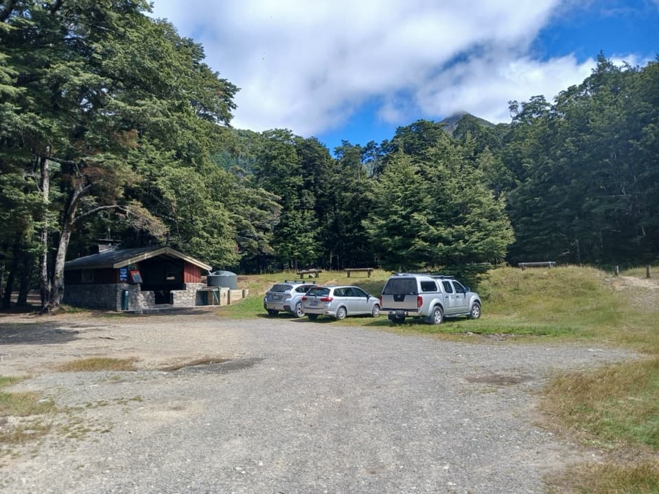
The access is where Mt White Road reaches the Poulter River, about 25 km along the road from SH73. DOC does not name a formal car park or toilets at the track access. The first section crosses Mt White Station under an easement; check access before setting out. Andrews Shelter is for a different route.

Safety

The route crosses Casey Stream, which can rise quickly; do not cross when it is unsafe. A stock-exclusion fence spans the lower Poulter River and can act as a strainer for people in the water. Mt White Station access may be closed at times; verify access before travel.

2 active Arthur's Pass alerts

  • CautionFlood damage and rockfall risk on Harper Pass RouteFlood damage and an active slip affect the Harper Pass Route below Kiwi Hut and near Locke Stream Hut.Official details
  • CautionFlood damage on route to Sudden Valley BivvySignificant flood damage makes the route to Sudden Valley Bivvy passable only when rivers are low.Official details
Arthur's Pass alerts
A park ranger sits on a dash-mounted phone, talking, as Parkwolf’s Tour Guide plays “Army Cutworm Moths: A Grizzly Bear Buffet” on Grand Loop Road below Dunraven Pass in Yellowstone
Parkwolf Tour GuideThe highest, rockiest slopes around here are a summer buffet for grizzly bears.

Arthur's Pass Tour Guide

Your drive to Poulter River Track, narrated.

Parkwolf is a GPS audio tour guide for Arthur's Pass National Park. As you drive, it chimes in with what’s ahead: hidden gems, upcoming stops, history, geology, and wildlife, right through your car’s speakers.

More stories near here in the app

  • Andrews Shelter Campsite and Casey Hut
  • 42 audio storiesacross Arthur's Pass’s roads, triggered by GPS as you drive
  • Wildlife heatmapsfor Kea, New Zealand Falcon, Blue Duck, and 13 more
  • Works offlinemaps, 49 trails, 59 places, and audio download before you lose signal
  • CarPlay readysimple controls built for the drive
★★★★★
“Fantastic app with many points of information… It’s great to just turn on while you’re driving and it gives you an audio tour of the national Park. We love it!!!!”
JMJamesApp Store review
Download Parkwolf on the App StoreGet Parkwolf on Google Play

4.7 from 8,600+ ratings

Trail guide

Hiking Poulter River Track

A full-day trip down the valleyPoulter River Track is a 20 km one-way shared route from the Poulter River access on Mt White…

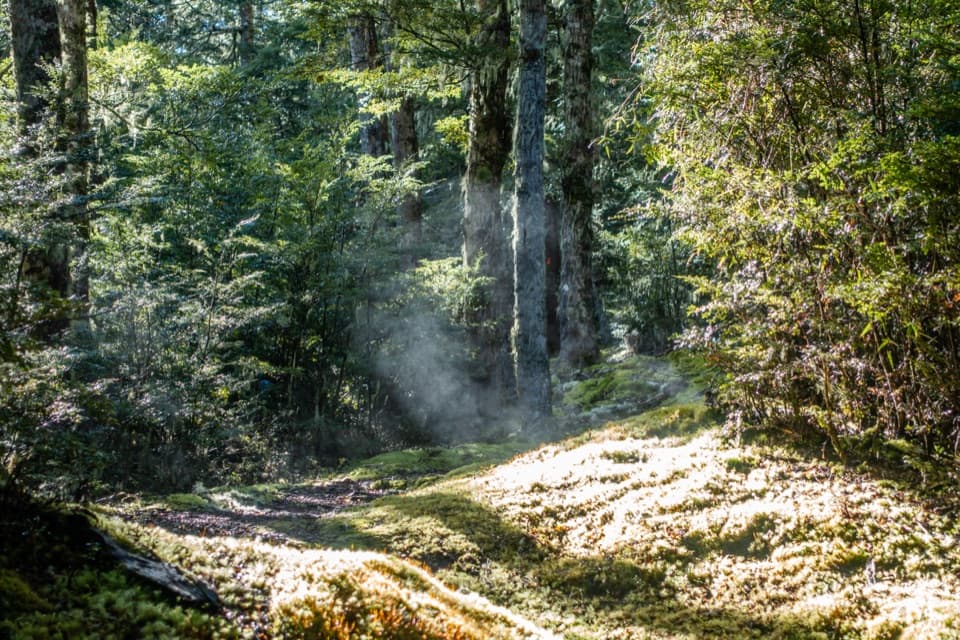
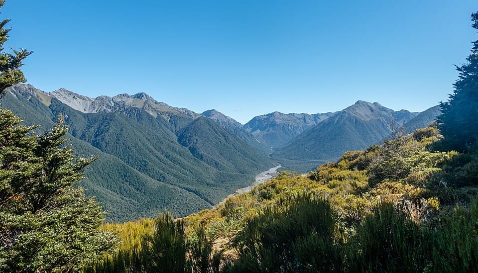
Poulter River Track is a 20 km one-way shared route from the Poulter River access on Mt White Road to Trust/Poulter Hut. Walkers and mountain bikers use the same 4WD track and open river-flat paths. I’d choose it for a long backcountry approach to two huts, not a quick scenic walk. Budget about eight hours on foot one way. Trust/Poulter Hut has no road exit, so retracing makes this a 40 km trip; plan the overnight and return before setting out.

From road to park boundaryThe track leaves Mt White Road where it reaches the Poulter River, then follows a 4WD track…

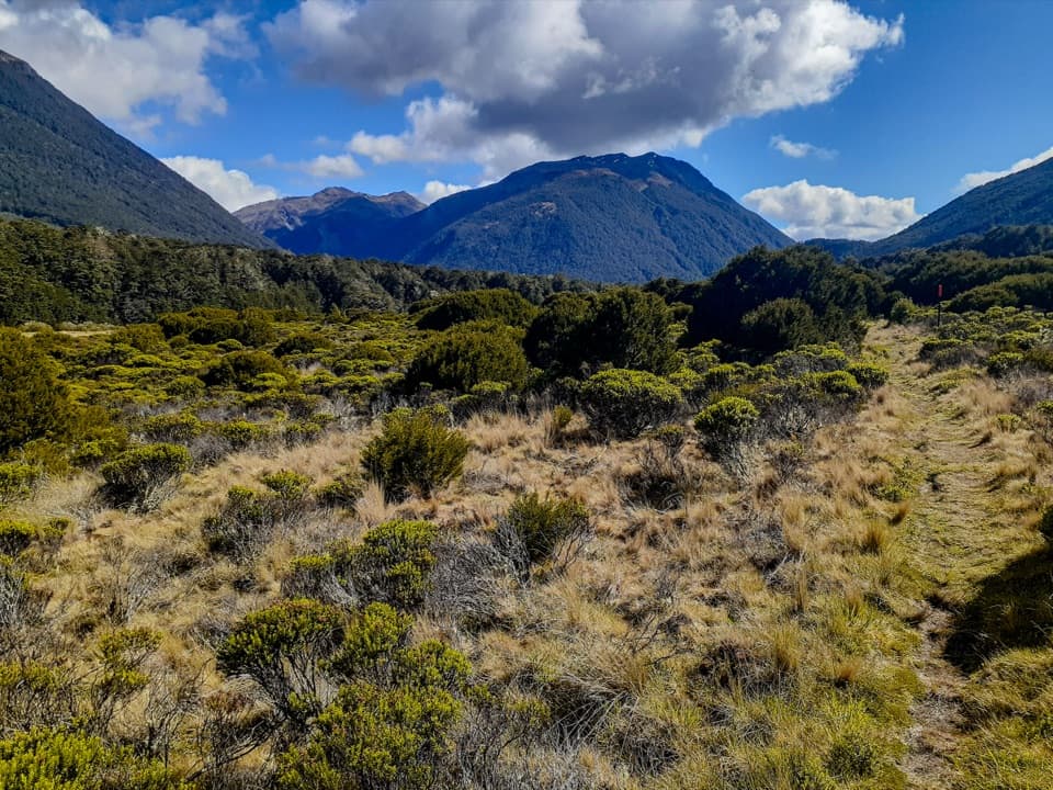
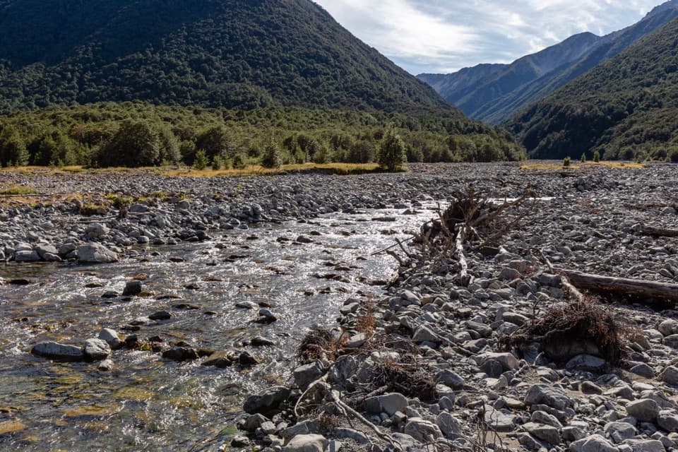
The track leaves Mt White Road where it reaches the Poulter River, then follows a 4WD track across terraces and fans for about 13 km through Mt White Station to the park boundary. This is working station land under an easement, and the access can be closed at times. A gate may be locked, so check access before the drive and respect stock and farm activity. The start is at the Poulter River, not Andrews Shelter, which belongs to a different route.
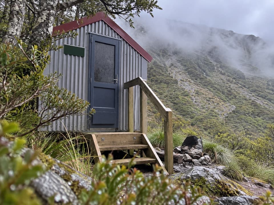
Casey Hut and the river flatsPast the boundary, an old 4WD track runs over river flats to Casey Hut, on a terrace above the…

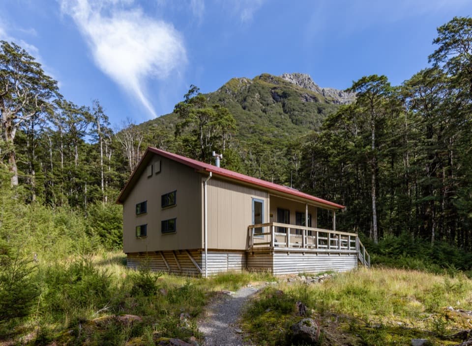
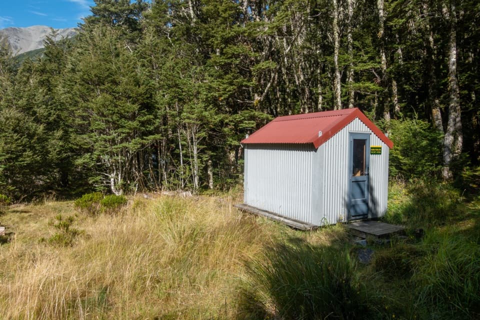
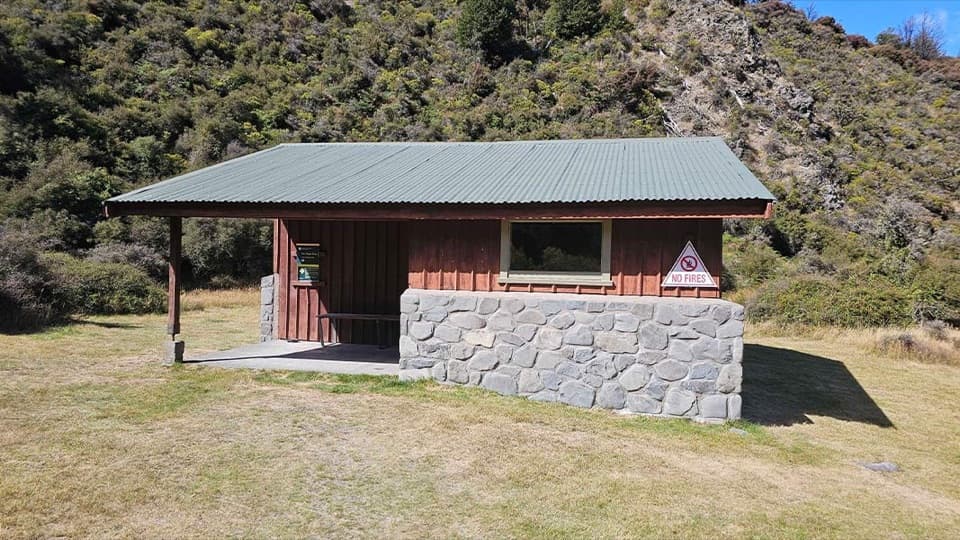
Past the boundary, an old 4WD track runs over river flats to Casey Hut, on a terrace above the Poulter River. The final 1.5 km was rerouted along the river instead of through beech forest. Casey is a serviced 12-bunk hut and needs a booking; its tap water is untreated, so boil it. It makes a useful overnight stop if you’re breaking up the long approach.

On to Trust/Poulter HutBeyond Casey Hut, cross Casey Stream and follow another roughly 4 km of 4WD track over river…

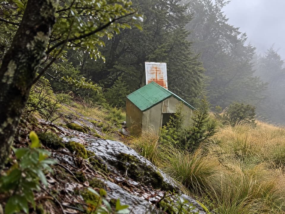
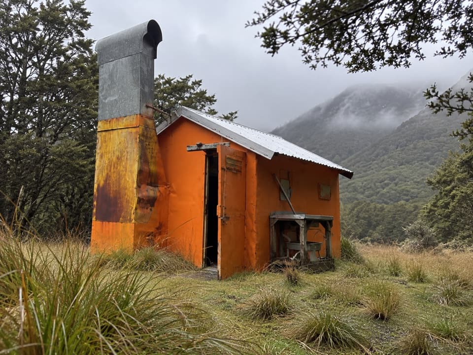
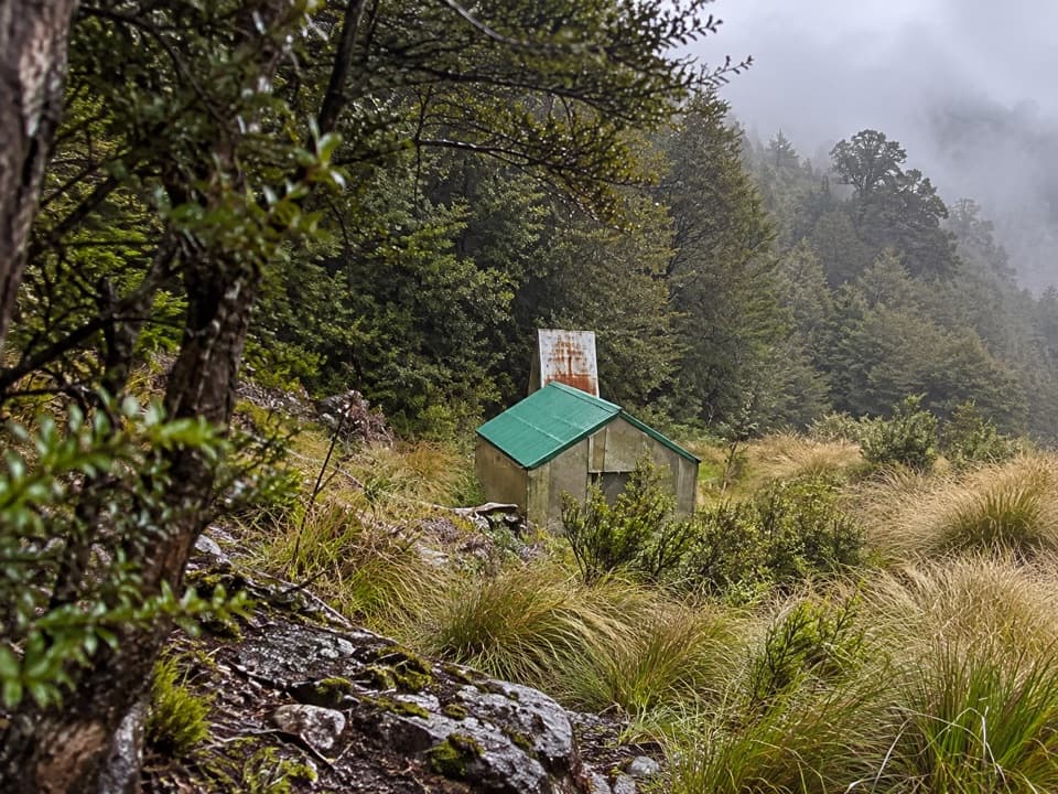
Beyond Casey Hut, cross Casey Stream and follow another roughly 4 km of 4WD track over river flats to Trust/Poulter Hut. That’s the endpoint represented here. The hut has six bunks, stream water and no booking system, so beds are first come. The longer continuations toward Poulter Hut or Lake Minchin aren’t part of this 20 km line.

Crossings and accessCasey Stream can rise quickly, and this remote route depends on a safe crossing.

Casey Stream can rise quickly, and this remote route depends on a safe crossing. Turn back if you can’t find safe entry and exit points or aren’t sure about the flow. A stock-exclusion fence spans the lower Poulter River and can snag people in the water. Dogs aren’t allowed on this route.

Wildlife

Wildlife in Arthur's Pass

All Arthur's Pass wildlife maps

Sighting maps show where each species has been reported across Arthur's Pass. Wildlife moves, so no sighting is guaranteed.

Keep exploring

Near Poulter River Track

See it all on the map

Trails that start nearby

Places near the trailhead

Parkwolf’s Arthur's Pass ranking

Top-rated trails in Arthur's Pass

All 49 trails
  1. 1Devils Punchbowl Walking TrackModerate · 2 km
  2. 2Avalanche Peak RouteChallenging · 6.8 km
  3. 3Bealey Spur TrackModerate · 12 km
  4. 4Arthur’s Pass Walking TrackModerate · 6.8 km
  5. 5Otira Valley TrackModerate · 3.4 km
  6. 6Scotts Track to Avalanche PeakChallenging · 7.1 km

Take Parkwolf to Arthur's Pass.

The audio tour guide for the drive, plus offline maps, trails, and wildlife heatmaps for when the signal drops.

4.7 from 8,600+ ratings

Download Parkwolf on the App StoreGet Parkwolf on Google Play