Parking
Park opposite Andrews Shelter on Mt White Road, about 24 km east of Arthur’s Pass village. The marked track begins just upstream of the nearby bridge.
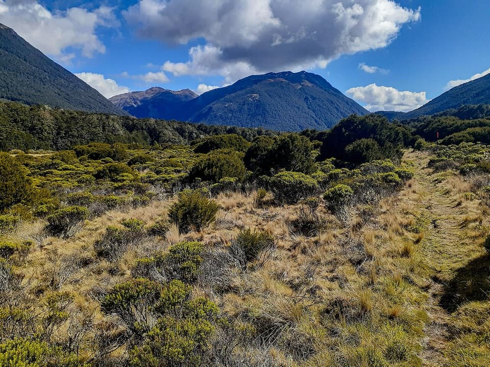
Arthur's Pass National Park, CB · WC
A two-day hut tramp over a broad tussock saddle.
Overview
Map & elevation
Plan your hike

The highest, rockiest slopes around here are a summer buffet for grizzly bears.
Arthur's Pass Tour Guide
Parkwolf is a GPS audio tour guide for Arthur's Pass National Park. As you drive, it chimes in with what’s ahead: hidden gems, upcoming stops, history, geology, and wildlife, right through your car’s speakers.
Recorded for this trailhead
Andrews Shelter Campsite and Casey Hut“You're coming up on Andrews Shelter Campsite, a simple overnight base on open river flats. There are twenty non-powered sites, taken first come, first served, and an enclosed shelter gives some cover from the weather.”
Plays as you drive up to this trailhead in the Parkwolf Arthur's Pass Tour Guide.
More stories near here in the app
“Fantastic app with many points of information… It’s great to just turn on while you’re driving and it gives you an audio tour of the national Park. We love it!!!!”


Trail guide
This is an out-and-back from Andrews Shelter to the current Casey Hut, crossing Casey Saddle. The mapped corridor is about 32 km (19.8 miles) return; allow 12–16 hours on foot, usually split over two days with a booked hut night. Choose it for a remote hut trip and a long mountain crossing, not as a quick walk from the road.
The marked track starts just upstream of the bridge by Andrews Shelter. It climbs steeply through scrub into mountain beech, then contours across side creeks to Hallelujah Flat, about two and a half hours from the shelter. From the flat, walk over the broad, gentle Casey Saddle through tussock, bog pine and pale-flowered Hebe odora. On the return toward Andrews Shelter, the track on the true left below the saddle gives a view up the creek bed toward scree and the ridge crest.
Past Casey Saddle the route follows a terrace above Surprise Stream, drops into a streambed below a small swamp, climbs through scrub and forest, then descends to the old hut site. The original hut burned in 2015. The current 12-bunk hut opened about 800 metres east on a terrace above the Poulter River, and the last approach now follows the river instead of the old beech-forest line. Older maps can stop at the wrong site. At the end, follow the signed river-side access toward the current hut; the mapped line reaches the nearby vehicle track about 75 metres short of the hut.
This is an advanced backcountry tramp with a steep climb, rough track and unbridged stream and river crossings. Levels can rise quickly after rain; wait if a crossing does not look safe. The route crosses avalanche terrain, with avalanche activity most common from May through November. Casey Hut must be booked; it has heating, mattresses and a non-flush toilet, but its tap water is untreated and must be boiled. Dogs are not allowed.
Wildlife
 982 sightingsKeaMost seen around noonSighting map
 39 sightingsNew Zealand FalconMost seen around 5 PMSighting map
 190 sightingsBlue DuckMost seen around 5 PMSighting map
 20 sightingsKākāMost seen around 8 AMSighting map
 15 sightingsWekaMost seen around 7 AMSighting map
 15 sightingsParadise ShelduckMost seen around 6 PMSighting map
Sighting maps show where each species has been reported across Arthur's Pass. Wildlife moves, so no sighting is guaranteed.
Keep exploring
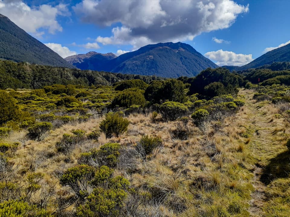 ChallengingCasey Saddle – Binser Saddle Route39.1 km · 16 hr · 0.1 km awayTwo days across tussock saddles, remote flats and the Poulter valley.
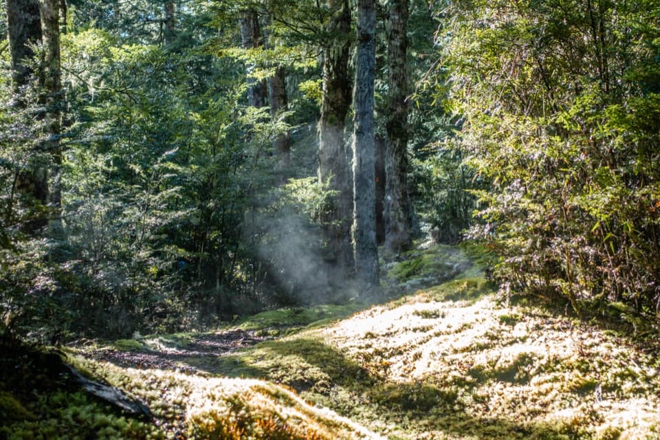 ChallengingBinser Saddle Track9 km · 7 hr · 1.9 km awayA steep beech-forest climb to a grassy saddle.
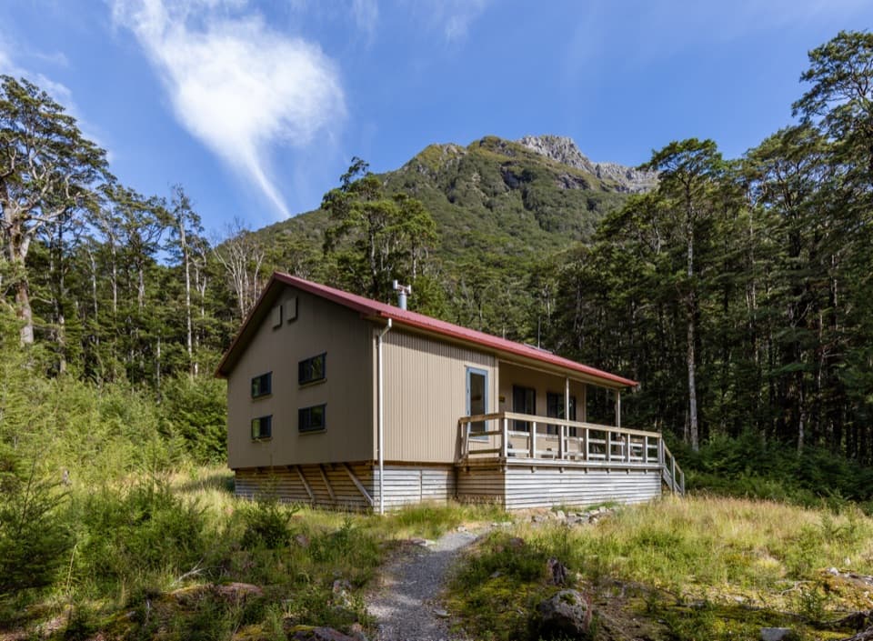 ChallengingHawdon Hut Track18 km · 7 hr · 3.7 km awayA backcountry hut walk with a string of river fords.
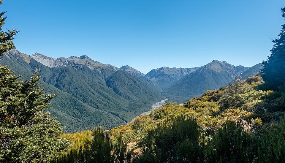 ChallengingWoolshed Hill Track5.1 km · 3 hr · 3.7 km awayA steep bushline climb for Hawdon Valley and Waimakariri views.
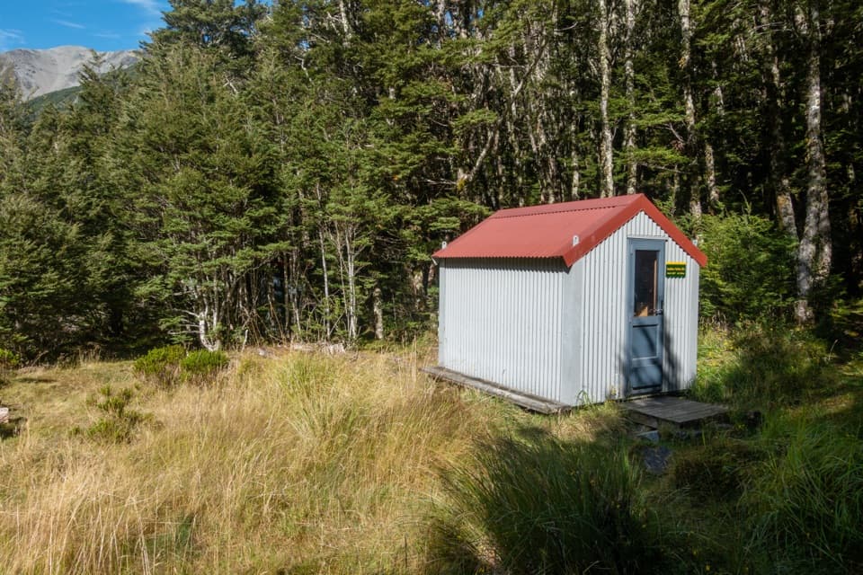 ChallengingSudden Valley Bivvy Route12.9 km · 5.5 hr · 3.7 km awayA rough river route to a tucked-away two-bunk bivvy.
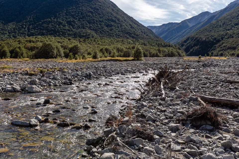 ChallengingEast Hawdon Bivvy Route22 km · 10 hr · 3.8 km awayA remote, unmarked river route to East Hawdon Bivvy.
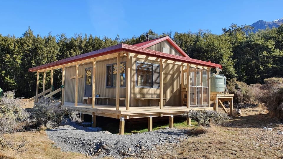 ChallengingPoulter River Track20 km · 8 hr · 7.2 km awayA 20 km shared-use river track to a remote hut
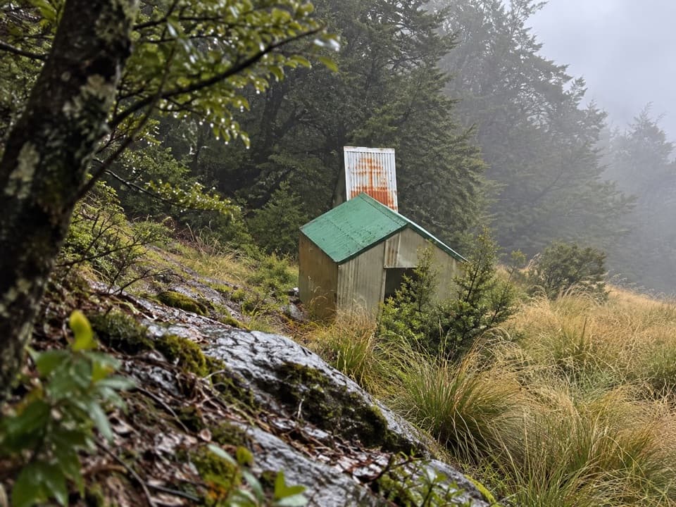 ChallengingRanger Bivvy Track16.9 km · 10 hr · 12.6 km awayA steep ridge climb to a tiny bivvy above the Poulter.
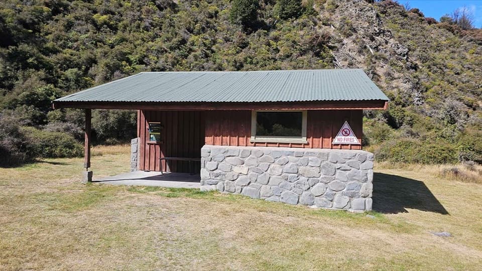 Campground · At the trailheadAndrews Shelter CampsiteA riverside base for the Casey Hut tramp, with a basic shelter.
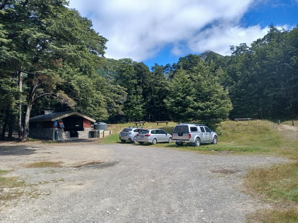 Campground · 3.7 km awayHawdon Shelter CampsiteThirty tent sites on broad alpine flats, with a cooking shelter.Lodging · 8.7 km awaySudden Valley BivvyA two-bunk refuge reached only by a serious river route.Lodging · 10.5 km awayHawdon HutA roomy 20-bunk hut at the end of a river-crossing test.
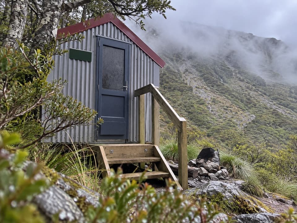 Lodging · 10.6 km awayEast Hawdon BivvyA free two-bunk bivvy for a long, off-track Hawdon Valley trip.Lodging · 12.6 km awayCasey HutA serviced 12-bunk refuge above the Poulter River
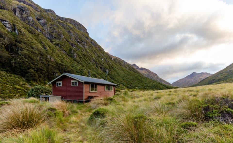 Lodging · 13.1 km awayEdwards HutA wood burner and red tussock flats reward a rough valley walk.
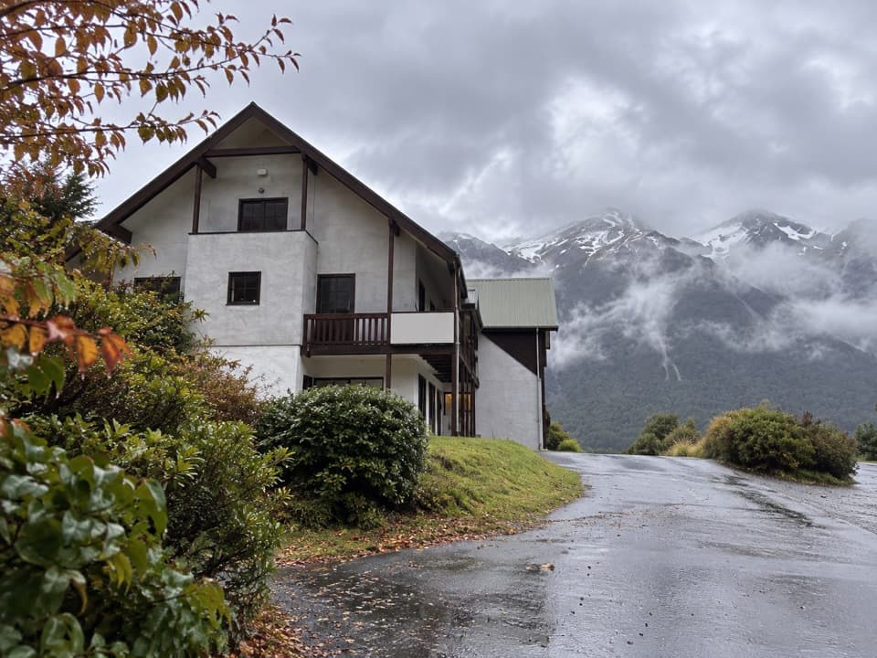 Lodging · 15.2 km awayThe Bealey HotelA mountain-view stay with a gold-rush coach-road story.
Parkwolf’s Arthur's Pass ranking

The audio tour guide for the drive, plus offline maps, trails, and wildlife heatmaps for when the signal drops.





