Parking
Start at Hawdon Shelter off Mount White Road, reached from State Highway 73; use the shelter and campground access.
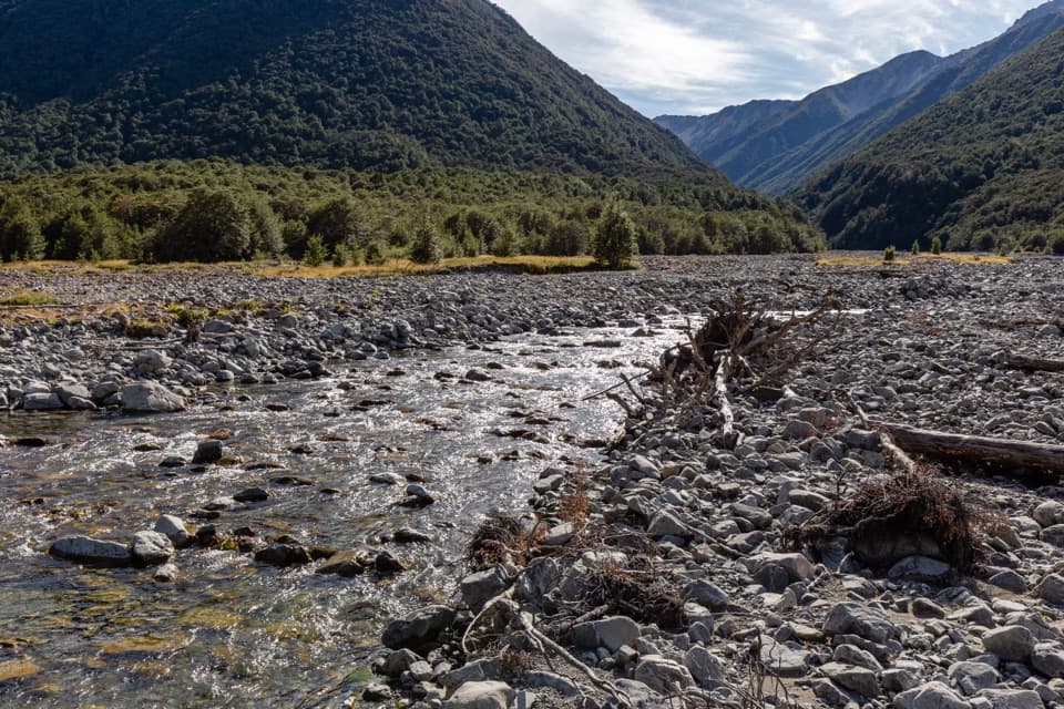
Arthur's Pass National Park, CB · WC
A remote, unmarked river route to East Hawdon Bivvy.
Overview
Map & elevation
Plan your hike

The highest, rockiest slopes around here are a summer buffet for grizzly bears.
Arthur's Pass Tour Guide
Parkwolf is a GPS audio tour guide for Arthur's Pass National Park. As you drive, it chimes in with what’s ahead: hidden gems, upcoming stops, history, geology, and wildlife, right through your car’s speakers.
Recorded for this area
Hawdon Shelter and Woolshed Hill“Hawdon Shelter Campsite is ahead, on broad grassy flats edged by beech forest and mountain slopes.”
Plays near this trailhead in the Parkwolf Arthur's Pass Tour Guide.
More stories near here in the app
“Fantastic app with many points of information… It’s great to just turn on while you’re driving and it gives you an audio tour of the national Park. We love it!!!!”


Trail guide
The East Hawdon Bivvy Route is a roughly 22 km out-and-back from Hawdon Shelter to a small two-bunk bivvy near the head of East Hawdon Stream. Allow about five hours each way; the walk climbs roughly 670 m to the hut. This is for experienced trampers comfortable with river travel and independent route-finding, not anyone expecting a maintained track.
The approach follows the marked Hawdon Valley route toward Hawdon Hut, through forest and open terraces, with a crossing of the Hawdon River. At the East Hawdon confluence, the route turns up the stream valley. The full out-and-back is about 22 km, or 11 km each way.
Beyond the junction, expect shingle riverbed, gravel bars and repeated crossings of unbridged water. Short volunteer-cut sidles have been described around gorge sections, but there is no maintained Department of Conservation track beyond the junction, and the sidles and markers may be hard to find. The mapped line is an approximate corridor, not a surveyed walking track; the actual crossings can shift.
The basic bivvy has two bunks, is free and does not require a booking; space is first come. Check and sign the intentions book at Hawdon Shelter before setting out, since the hut is small.
River level can decide whether this trip is safe. Do not cross in flood, or when you cannot identify safe entry and exit points; wait or turn back if unsure. The route calls for solid navigation skills and enough time to retreat. Ordinary pets are prohibited in the national park; certified assistance dogs are allowed while assisting.
Wildlife
 982 sightingsKeaMost seen around noonSighting map
 39 sightingsNew Zealand FalconMost seen around 5 PMSighting map
 190 sightingsBlue DuckMost seen around 5 PMSighting map
 20 sightingsKākāMost seen around 8 AMSighting map
 15 sightingsWekaMost seen around 7 AMSighting map
 15 sightingsParadise ShelduckMost seen around 6 PMSighting map
Sighting maps show where each species has been reported across Arthur's Pass. Wildlife moves, so no sighting is guaranteed.
Keep exploring
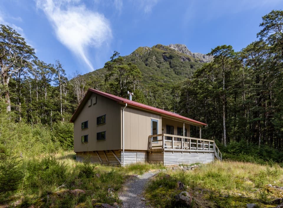 ChallengingHawdon Hut Track18 km · 7 hr · At the trailheadA backcountry hut walk with a string of river fords.
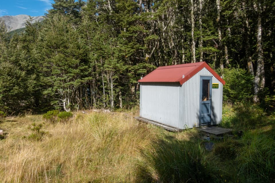 ChallengingSudden Valley Bivvy Route12.9 km · 5.5 hr · At the trailheadA rough river route to a tucked-away two-bunk bivvy.
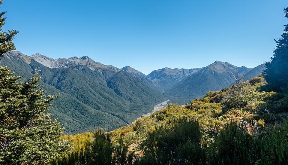 ChallengingWoolshed Hill Track5.1 km · 3 hr · At the trailheadA steep bushline climb for Hawdon Valley and Waimakariri views.
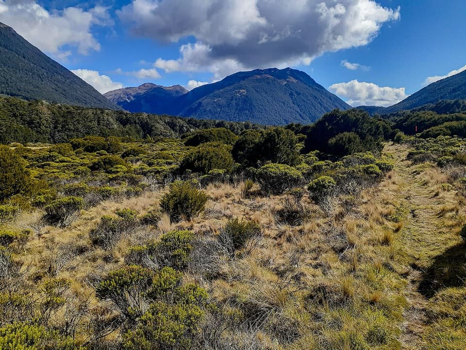 ChallengingCasey Hut via Andrews Track31.8 km · 14 hr · 3.8 km awayA two-day hut tramp over a broad tussock saddle.
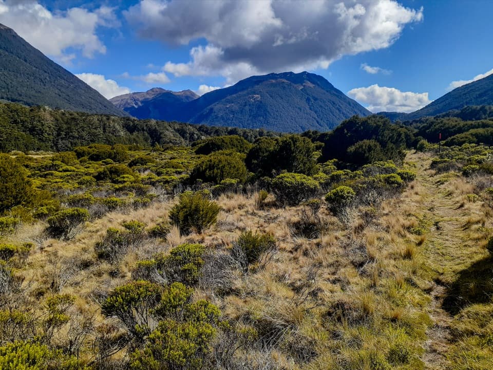 ChallengingCasey Saddle – Binser Saddle Route39.1 km · 16 hr · 3.8 km awayTwo days across tussock saddles, remote flats and the Poulter valley.
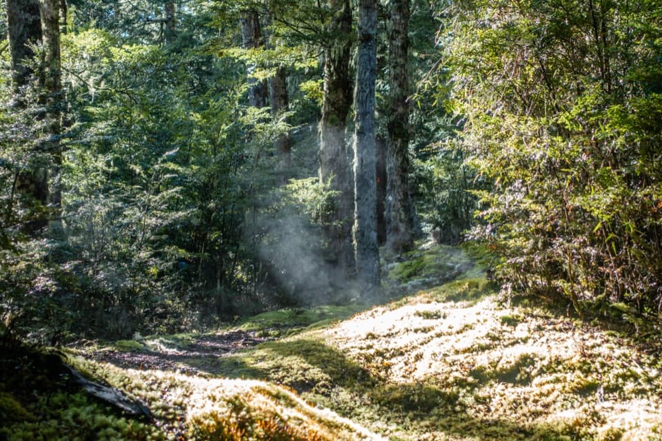 ChallengingBinser Saddle Track9 km · 7 hr · 5.2 km awayA steep beech-forest climb to a grassy saddle.
 ModerateBealey Spur Track12 km · 4.5 hr · 10.7 km awayA steady hut walk with wide Waimakariri Valley views
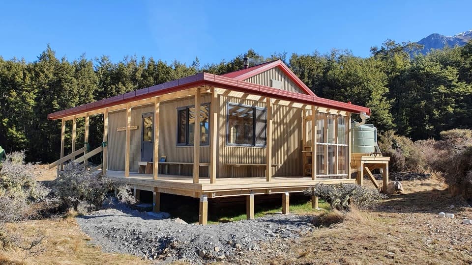 ChallengingPoulter River Track20 km · 8 hr · 11 km awayA 20 km shared-use river track to a remote hut
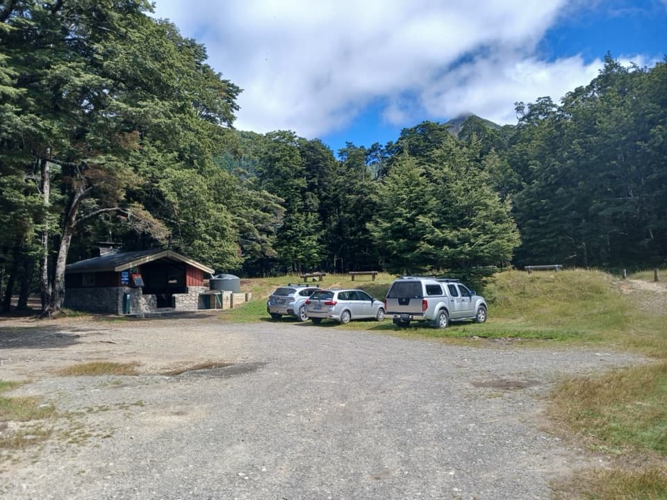 Campground · At the trailheadHawdon Shelter CampsiteThirty tent sites on broad alpine flats, with a cooking shelter.
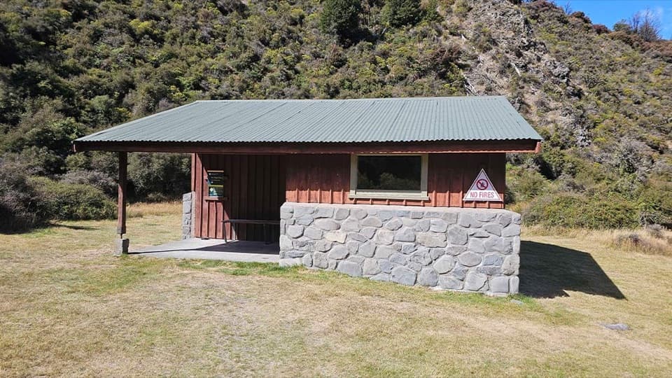 Campground · 3.8 km awayAndrews Shelter CampsiteA riverside base for the Casey Hut tramp, with a basic shelter.Lodging · 5.5 km awaySudden Valley BivvyA two-bunk refuge reached only by a serious river route.Lodging · 8.6 km awayHawdon HutA roomy 20-bunk hut at the end of a river-crossing test.
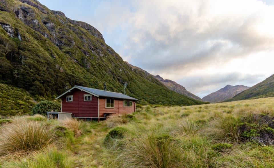 Lodging · 9.6 km awayEdwards HutA wood burner and red tussock flats reward a rough valley walk.
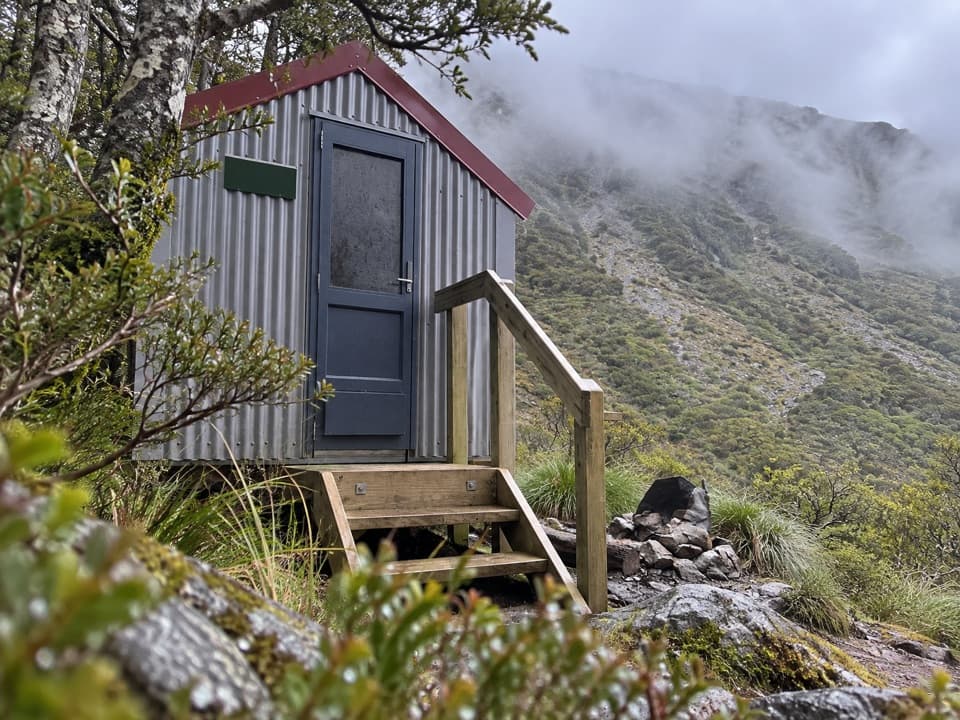 Lodging · 10 km awayEast Hawdon BivvyA free two-bunk bivvy for a long, off-track Hawdon Valley trip.
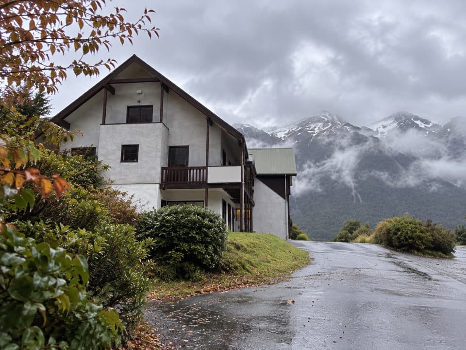 Lodging · 11.8 km awayThe Bealey HotelA mountain-view stay with a gold-rush coach-road story.
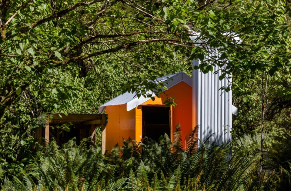 Lodging · 12 km awayMingha BivvyA free two-bunk hut reached by river crossings and a climb.
Parkwolf’s Arthur's Pass ranking

The audio tour guide for the drive, plus offline maps, trails, and wildlife heatmaps for when the signal drops.




