Binser Saddle Track in Arthur's Pass National Park

Arthur's Pass National Park, CB · WC

Binser Saddle Track

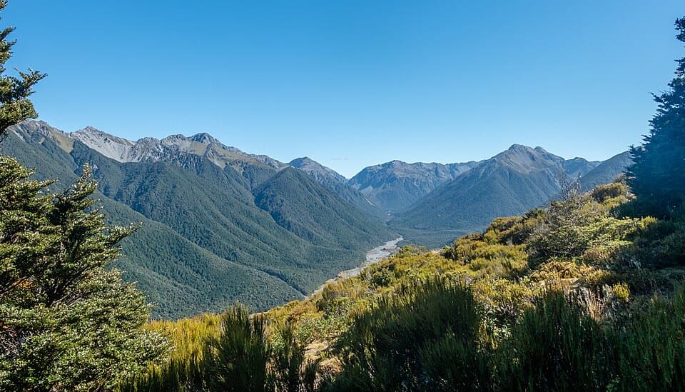
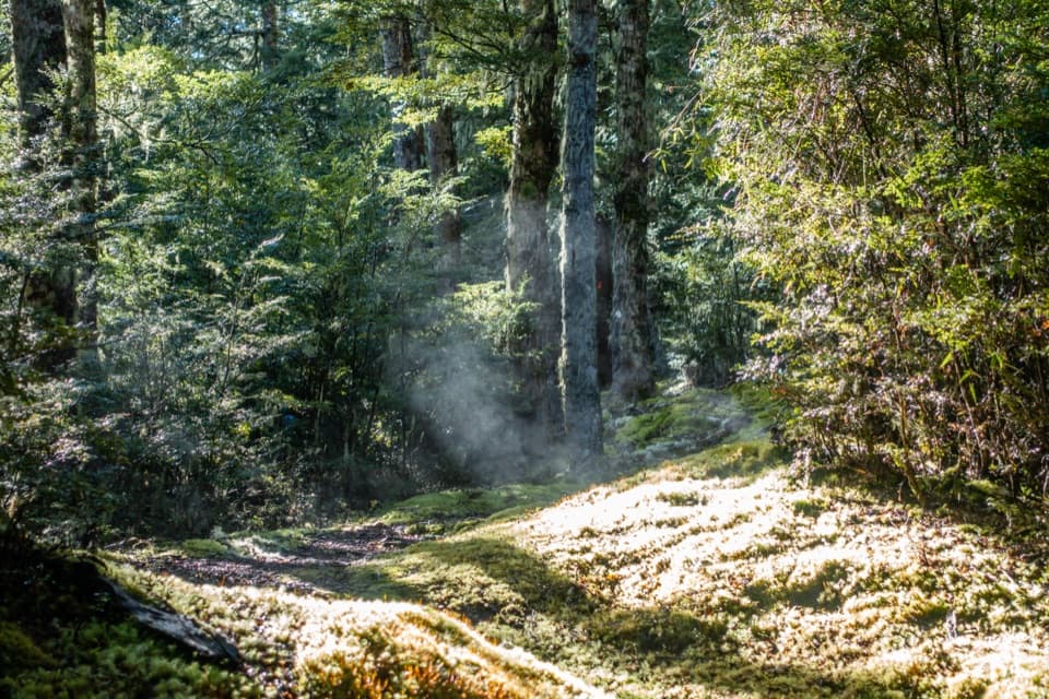
A steep beech-forest climb to a grassy saddle.

Photo: Wikimedia Commons
Length
9km
Time
7hr
Elev. change
590m
Difficulty
Challenging
  • No dogs
  • High point 1,112 m

Hear the audio tour

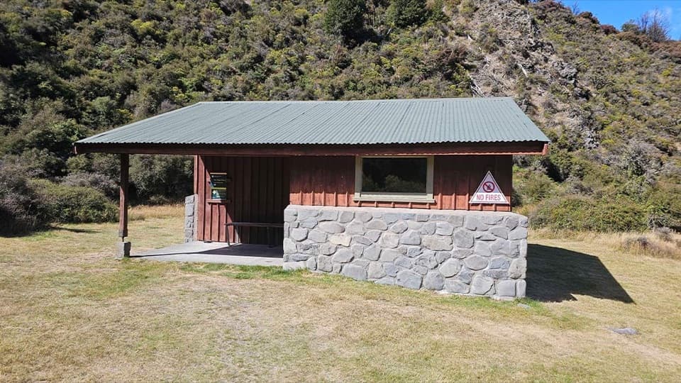
Andrews Shelter Campsite and Casey Hut

Overview

About Binser Saddle Track

Why go

  • An open saddle after a varied beech-forest climb

Heads up

  • A long, steep return with windfall and route-finding near the saddle

Map & elevation

The route

Loading the Arthur's Pass map
Full map
Elevation522–1,112 m
TrailheadBinser Saddle car park, Mt White Road-43.00893, 171.80470
Keep this map with you offline in the Parkwolf app

Plan your hike

Before you go

Parking

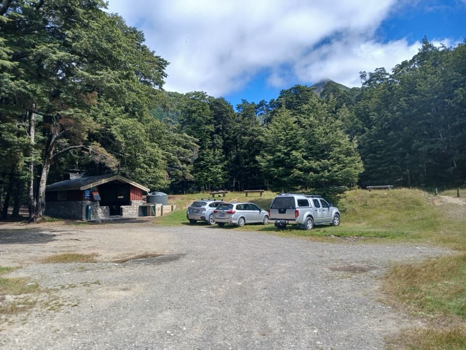
Use the Binser Saddle car park on Mt White Road, about 2 km beyond Andrews Shelter. Mt White Road leaves SH73 roughly 24 km east of Arthur’s Pass village. No car-park capacity or fee was found. The Mt White Station easement can close for farm operations, so confirm access before setting out.

Safety

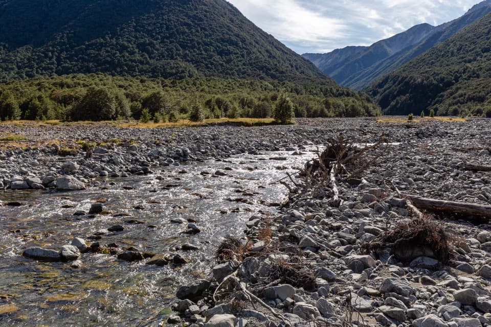
The climb is steep and rough, with windfall that can hide the track near the saddle. The route meets an unbridged ford at Pete Stream; do not cross when water is high. Snow can bring avalanche danger from May to November while it remains, and wasps may nest along the route in summer.

2 active Arthur's Pass alerts

  • CautionFlood damage and rockfall risk on Harper Pass RouteFlood damage and an active slip affect the Harper Pass Route below Kiwi Hut and near Locke Stream Hut.Official details
  • CautionFlood damage on route to Sudden Valley BivvySignificant flood damage makes the route to Sudden Valley Bivvy passable only when rivers are low.Official details
Arthur's Pass alerts
A park ranger sits on a dash-mounted phone, talking, as Parkwolf’s Tour Guide plays “Army Cutworm Moths: A Grizzly Bear Buffet” on Grand Loop Road below Dunraven Pass in Yellowstone
Parkwolf Tour GuideThe highest, rockiest slopes around here are a summer buffet for grizzly bears.

Arthur's Pass Tour Guide

Your drive to Binser Saddle Track, narrated.

Parkwolf is a GPS audio tour guide for Arthur's Pass National Park. As you drive, it chimes in with what’s ahead: hidden gems, upcoming stops, history, geology, and wildlife, right through your car’s speakers.

Recorded for this area

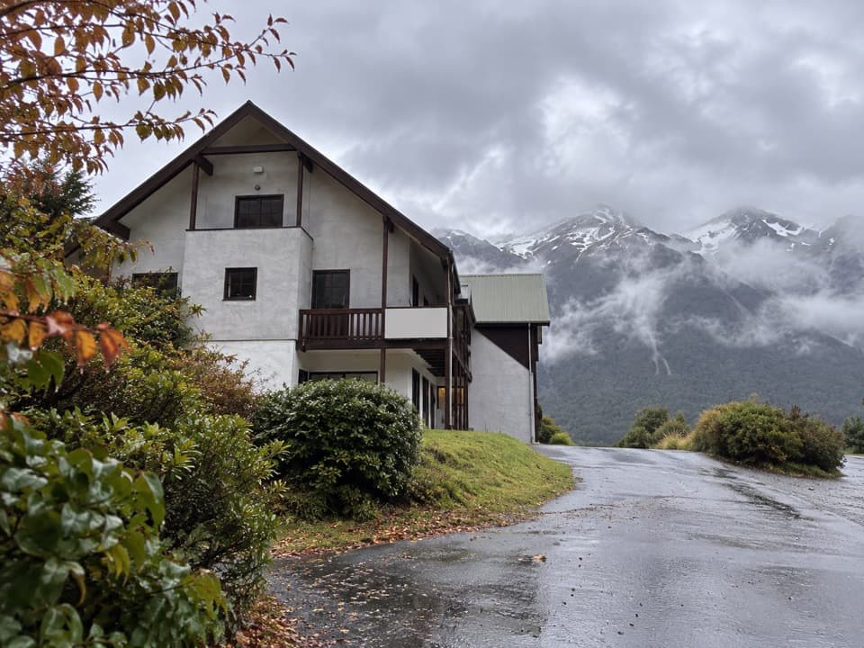
Andrews Shelter Campsite and Casey Hut
0:00 / 0:28
“You're coming up on Andrews Shelter Campsite, a simple overnight base on open river flats. There are twenty non-powered sites, taken first come, first served, and an enclosed shelter gives some cover from the weather.”

Plays on the road 1.9 km from the trailhead in the Parkwolf Arthur's Pass Tour Guide.

More stories near here in the app

  • The Wrybill’s Sideways Beak
  • Hawdon Shelter and Woolshed Hill
  • A Duck Built for Rapids
  • The Bird with Almost No Tail
  • 42 audio storiesacross Arthur's Pass’s roads, triggered by GPS as you drive
  • Wildlife heatmapsfor Kea, New Zealand Falcon, Blue Duck, and 13 more
  • Works offlinemaps, 49 trails, 59 places, and audio download before you lose signal
  • CarPlay readysimple controls built for the drive
★★★★★
“Fantastic app with many points of information… It’s great to just turn on while you’re driving and it gives you an audio tour of the national Park. We love it!!!!”
JMJamesApp Store review
Download Parkwolf on the App StoreGet Parkwolf on Google Play

4.7 from 8,600+ ratings

Trail guide

Hiking Binser Saddle Track

A full-day saddle walkBinser Saddle Track is a remote out-and-back from Mt White Road to a small grassy saddle in…

Binser Saddle Track is a remote out-and-back from Mt White Road to a small grassy saddle in Arthur's Pass National Park. The day walk is about 5.6 miles (9 km) return, retracing a 4.5 km corridor with roughly 590 m of climbing; allow about 7 hours. Choose it for a demanding climb through valley terraces and open beech forest to a quiet high-country flat. This row ends at Binser Saddle; the two-day route from Casey Saddle to Binser Saddle continues beyond the saddle.

Climbing through beechFrom the Binser Saddle car park, follow the vehicle track beside Lower Farm Stream to the sign…

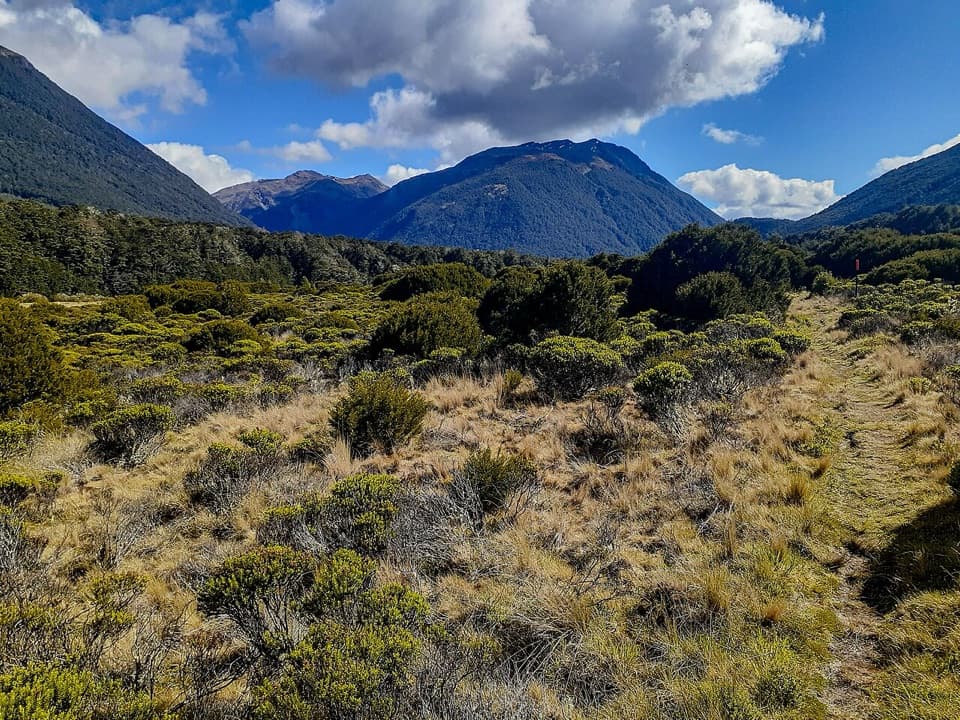
From the Binser Saddle car park, follow the vehicle track beside Lower Farm Stream to the sign at the forest edge. The climb leaves the valley flats steeply, threads through low mānuka, then enters open mountain beech. The grade eases at first and steepens again near the saddle. A stream runs close to the track. Wind-thrown trees obscure and block sections near the top; keep to the foot of the northern slope and look for the tread around fallen trunks. If you lose it, return to the last clear point rather than cutting straight across.

The open saddleThe saddle opens onto a small grassy flat with camping sites; running water is a few minutes…

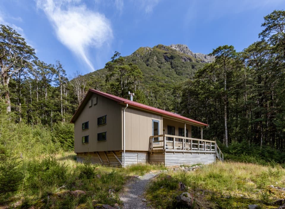
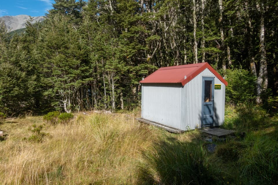
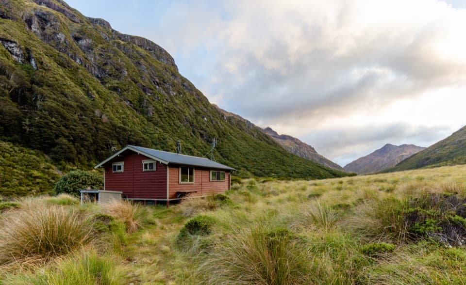
The saddle opens onto a small grassy flat with camping sites; running water is a few minutes downhill. The route description lists campsites and stream water but no hut or food service. Bring food and treat any water before drinking. Summer and autumn are the usual best seasons, but allow for mountain weather.

Terraces from the ice ageThe low grassy shelves below the climb are old river terraces.

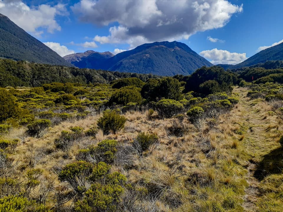
The low grassy shelves below the climb are old river terraces. They formed from glacial outwash; after the glaciers retreated, uplift and streams cut lower channels through the gravel. The flat valley floor and abrupt climb into forest are parts of that changing landscape.

Wildlife

Wildlife in Arthur's Pass

All Arthur's Pass wildlife maps

Sighting maps show where each species has been reported across Arthur's Pass. Wildlife moves, so no sighting is guaranteed.

Keep exploring

Near Binser Saddle Track

See it all on the map

Trails that start nearby

Places near the trailhead

Parkwolf’s Arthur's Pass ranking

Top-rated trails in Arthur's Pass

All 49 trails
  1. 1Devils Punchbowl Walking TrackModerate · 2 km
  2. 2Avalanche Peak RouteChallenging · 6.8 km
  3. 3Bealey Spur TrackModerate · 12 km
  4. 4Arthur’s Pass Walking TrackModerate · 6.8 km
  5. 5Otira Valley TrackModerate · 3.4 km
  6. 6Scotts Track to Avalanche PeakChallenging · 7.1 km

Take Parkwolf to Arthur's Pass.

The audio tour guide for the drive, plus offline maps, trails, and wildlife heatmaps for when the signal drops.

4.7 from 8,600+ ratings

Download Parkwolf on the App StoreGet Parkwolf on Google Play